I was up and ready when Annett’s Mono Village opened for the day. For easiest access to the trail, you have to pay them for an overnight parking spot in their campground. But that delayed my start a bit. Around 7:30, I was leaving the RVs behind and hiking through the meadows along Robinson Creek.
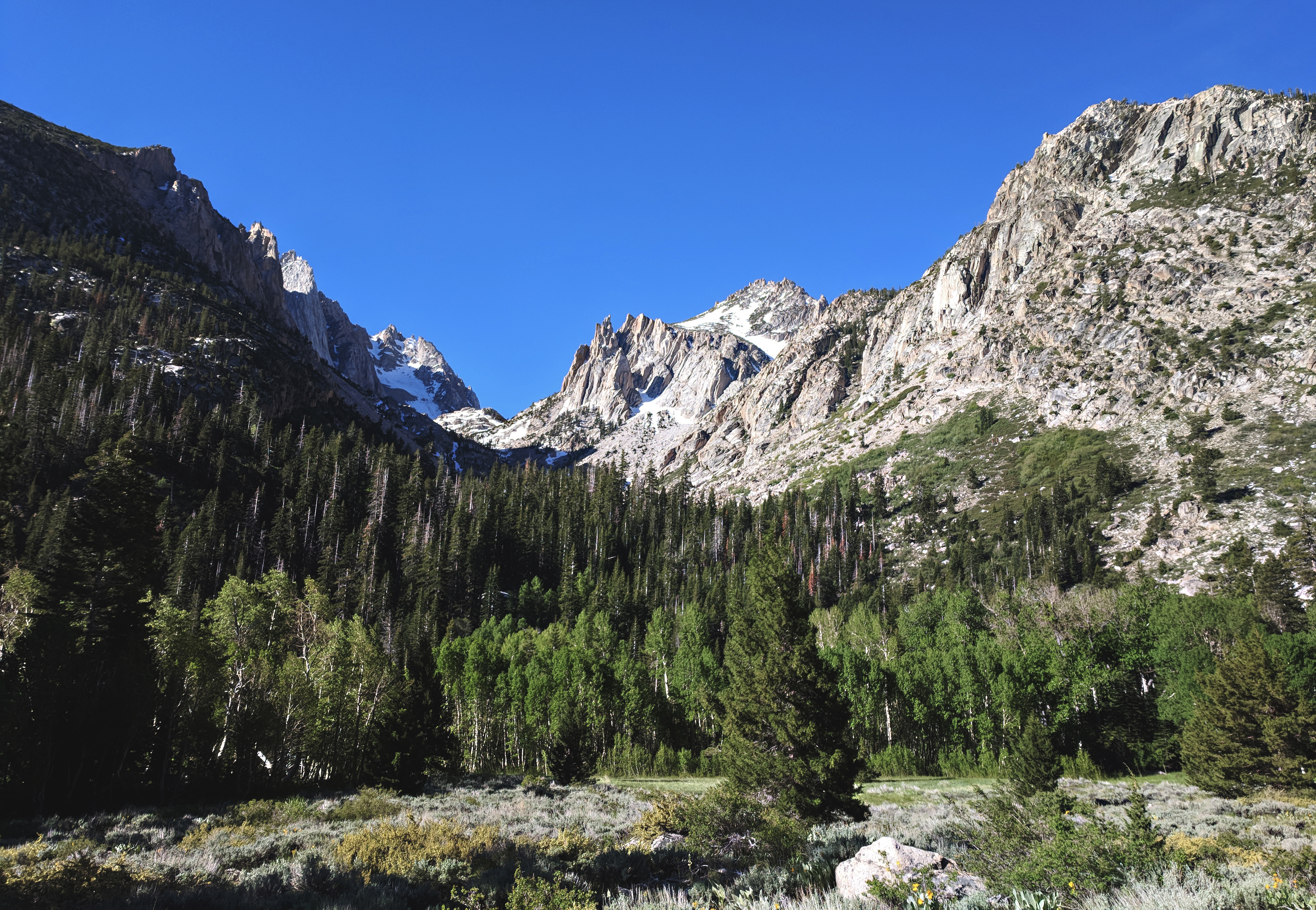
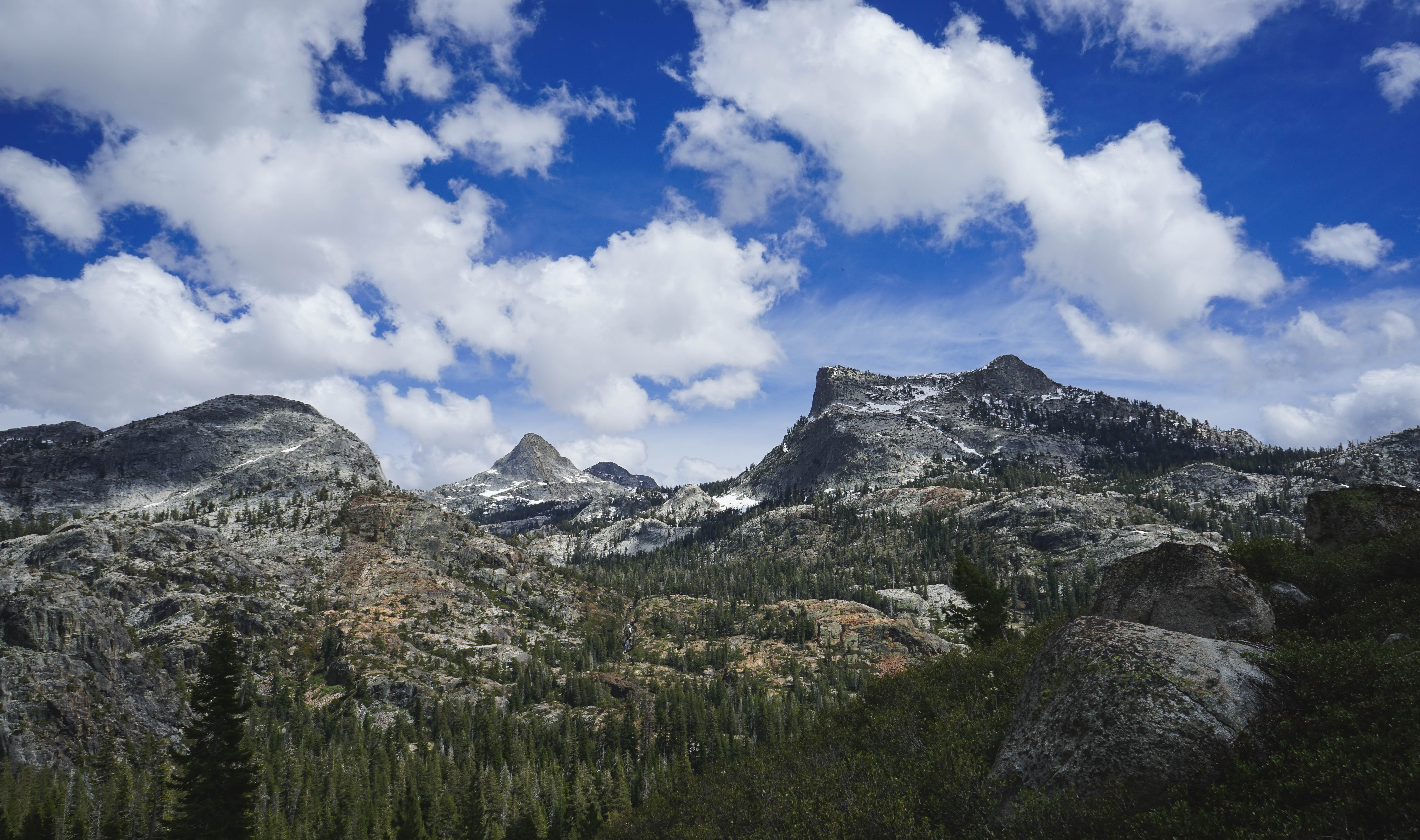
Looking up Horse Canyon towards the Sawtooth Ridge.
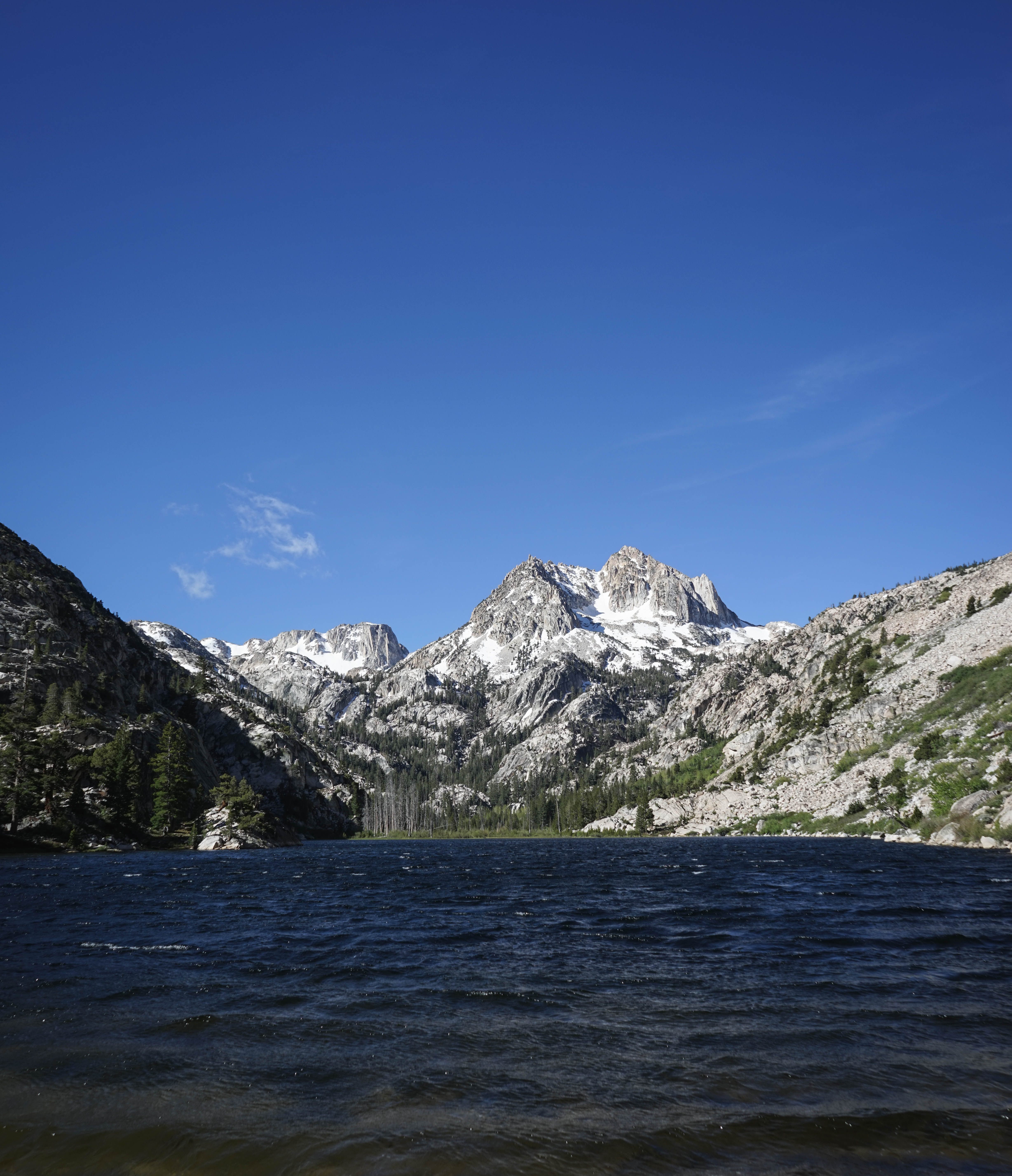
Barney Lake with Crown Point behind. With its slightly smaller sandy beach and great views, this lake is a popular day-hike destination.
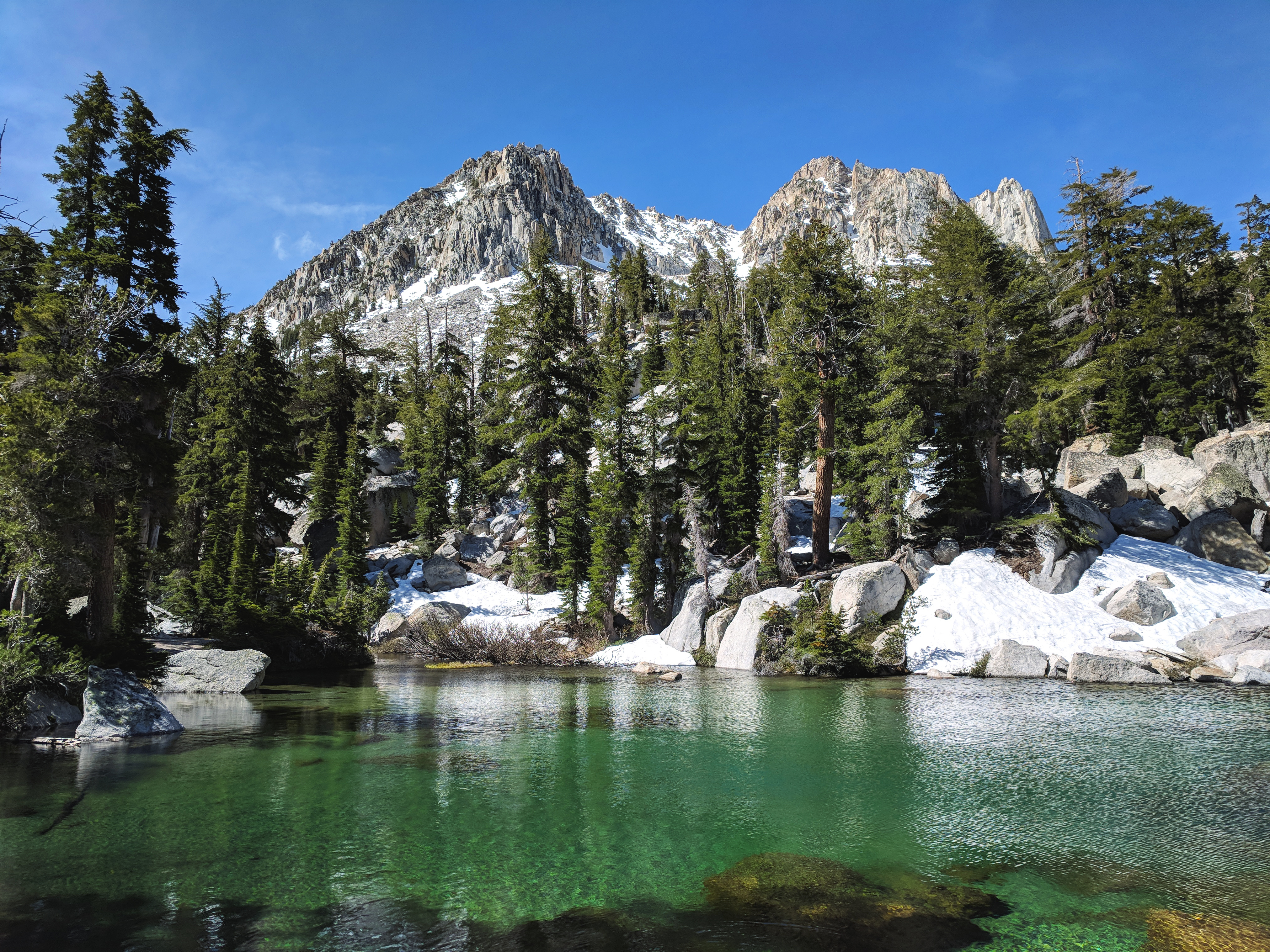
Beautiful green Robinson Lake.
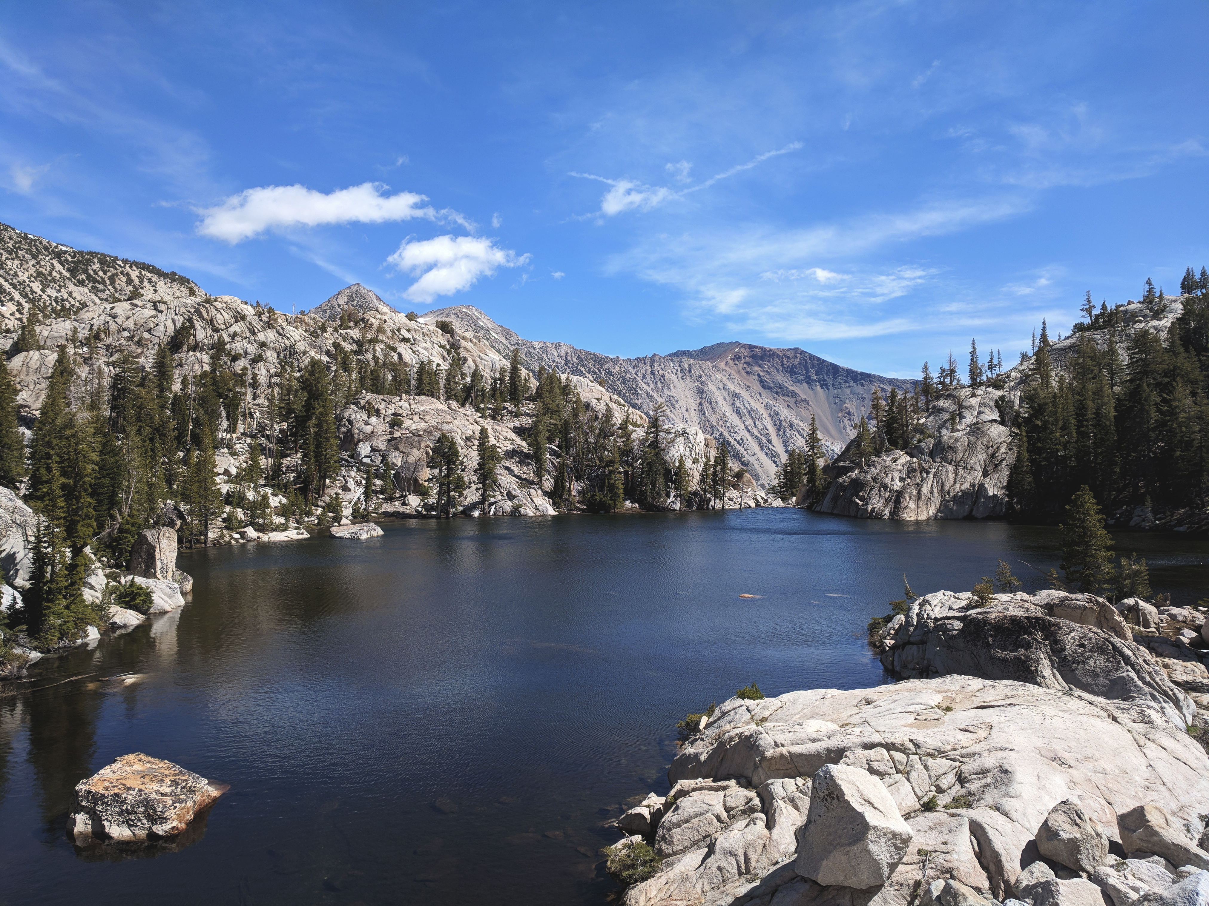
Looking east over Crown Lake. Above here, on my way to Burro Pass, I ran into consistent, deep snow cover that made for difficult routefinding and postholing. I expected it would be at least as bad over Mule and Burro Passes, which meant I wouldn’t be able to make 30 miles this way, so I reversed course and headed for Peeler Lake, figuring that if conditions were good that way I could make an out-and-back, or if they were bad I could just bail altogether.
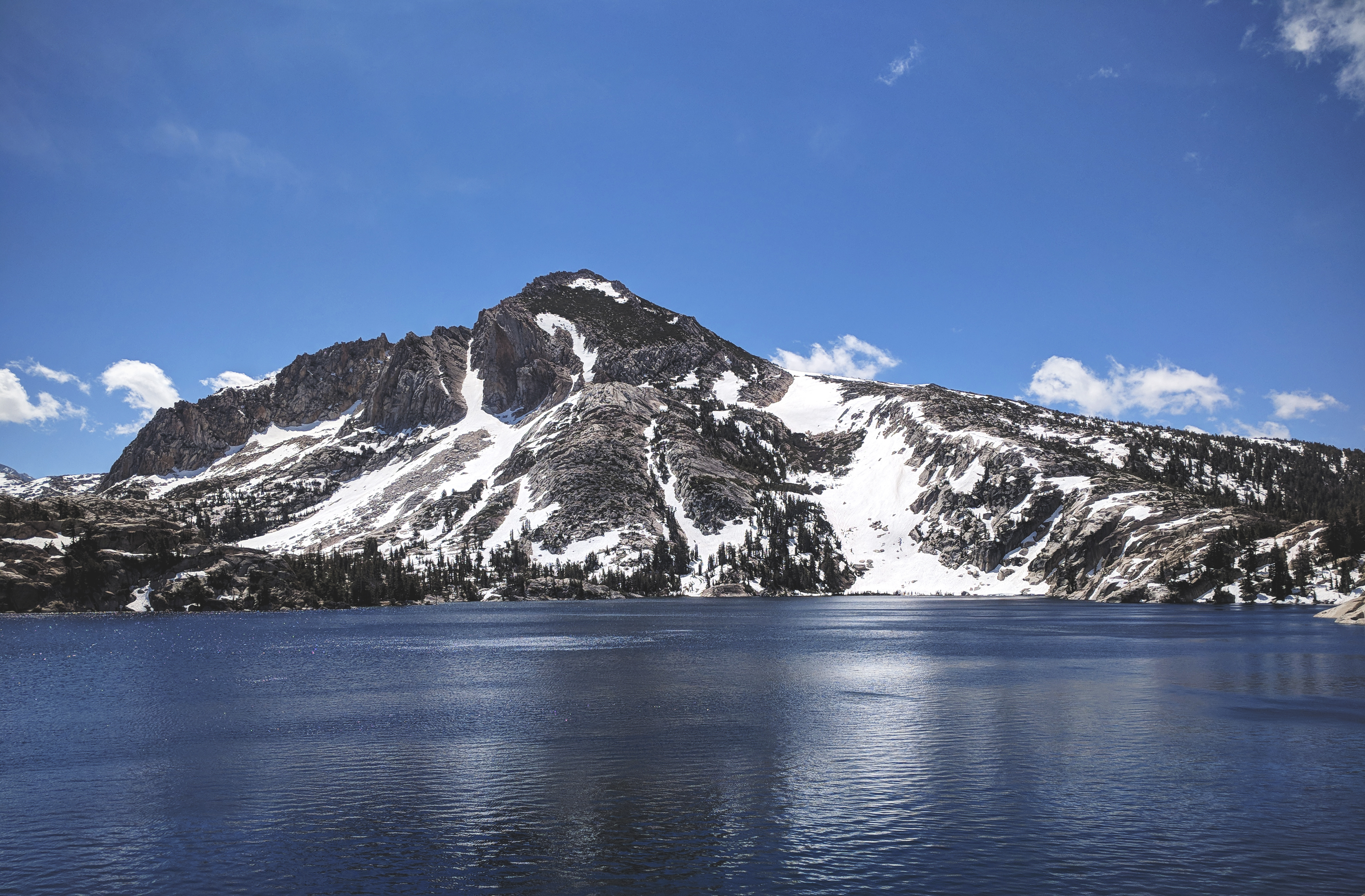
Peeler Lake and Crown Point.
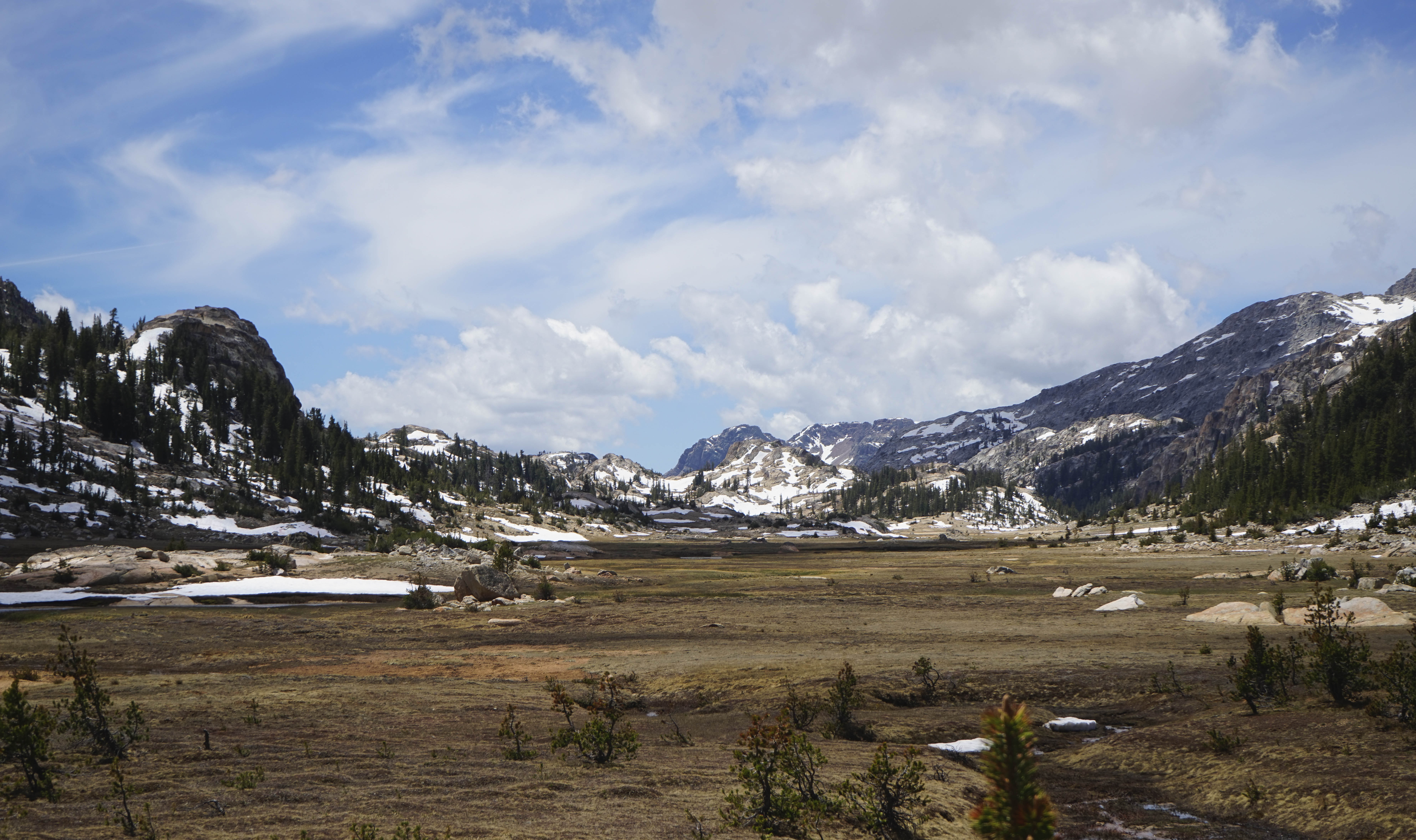
Kerrick Meadow from above. There was still a good amount of meltwater in the meadows, especially upper Kerrick Meadow.
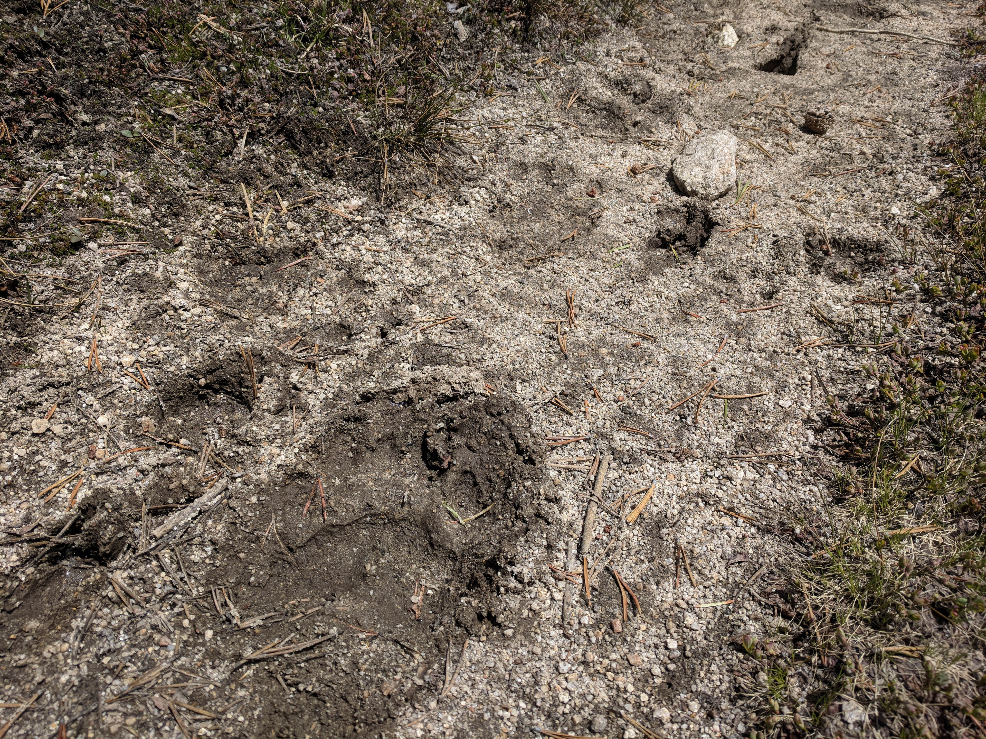
There wasn’t a human footprint to be seen on the trail.
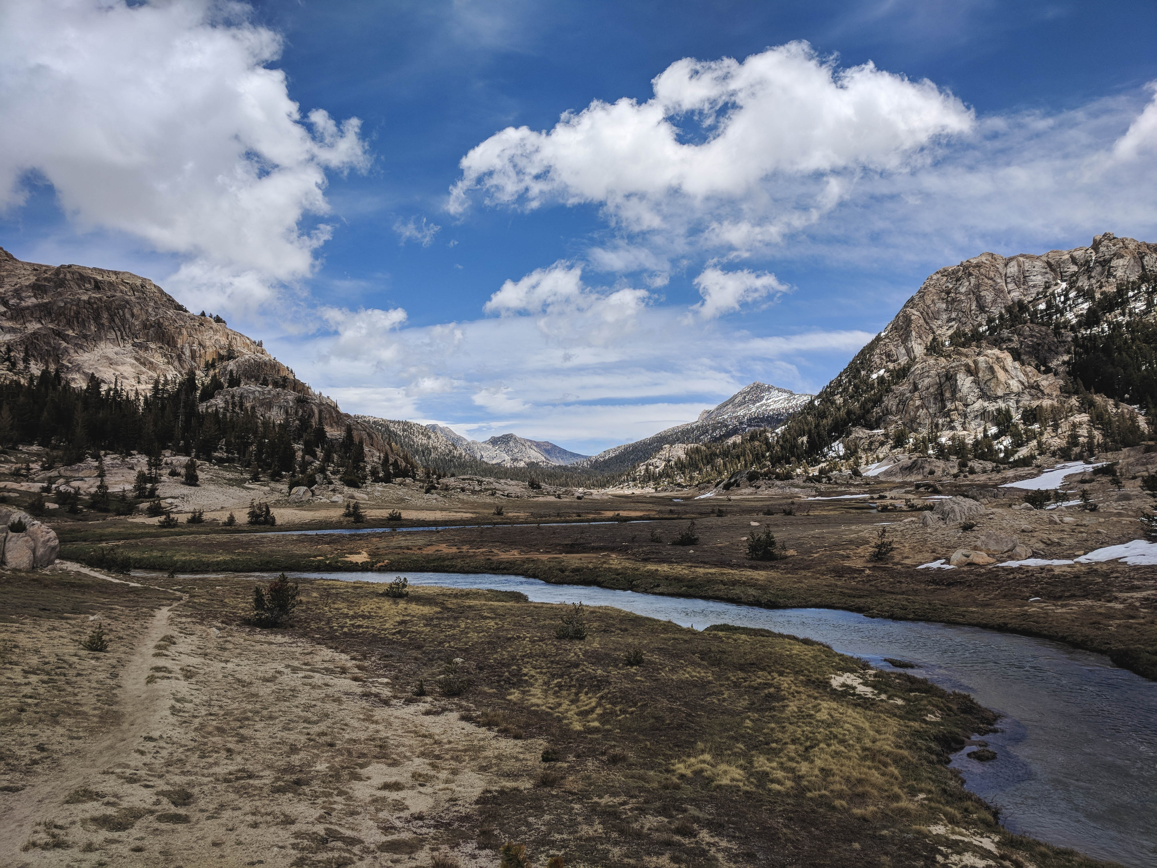
Looking back east, upstream at Kerrick Meadow.
Volunteer Peak from just below Seavey Pass. There were a few small sections of snow hiding in the trees near Seavey Pass, especially on the north side, but nothing too difficult.
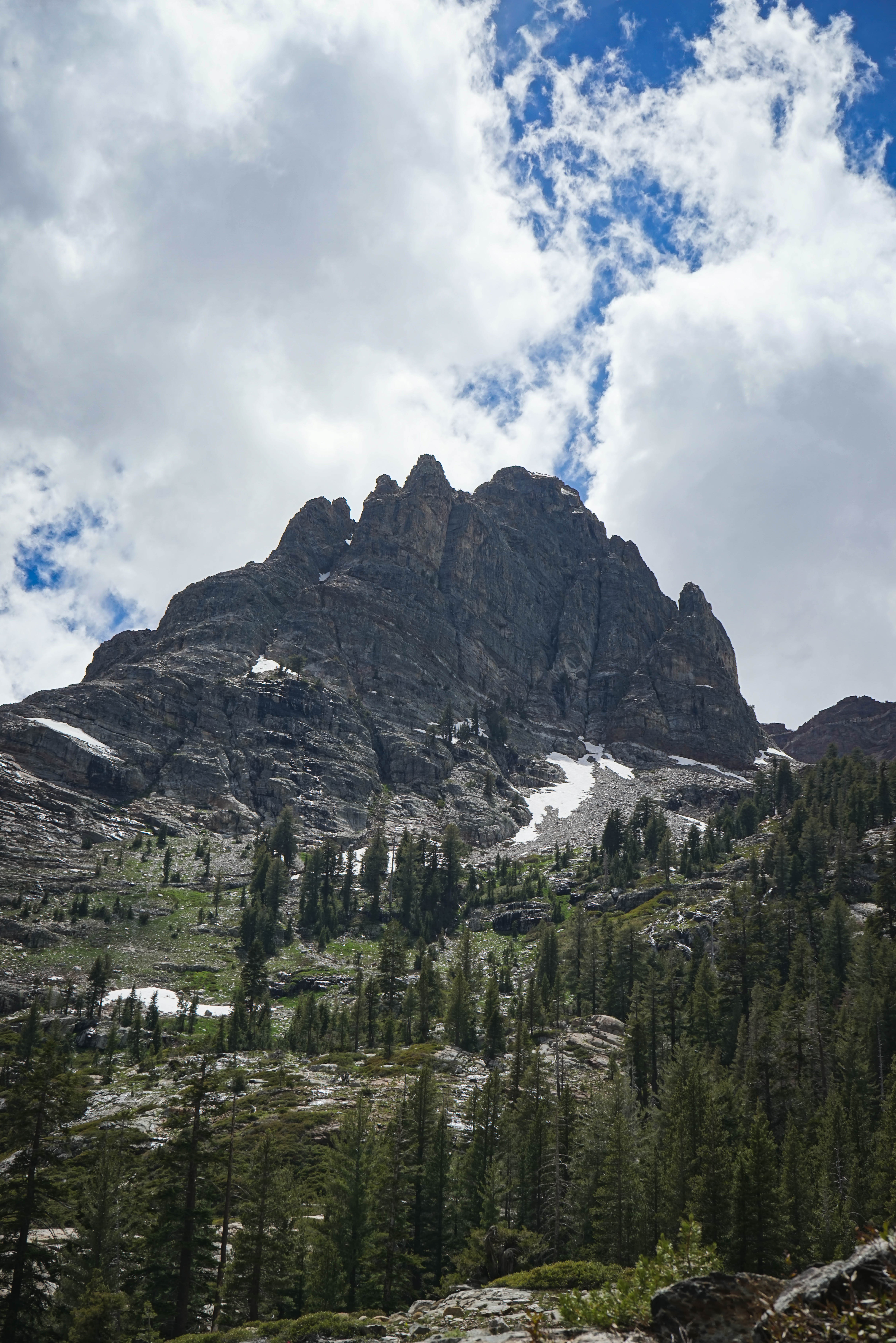
Part of Piute Mountain from south of Seavey Pass.
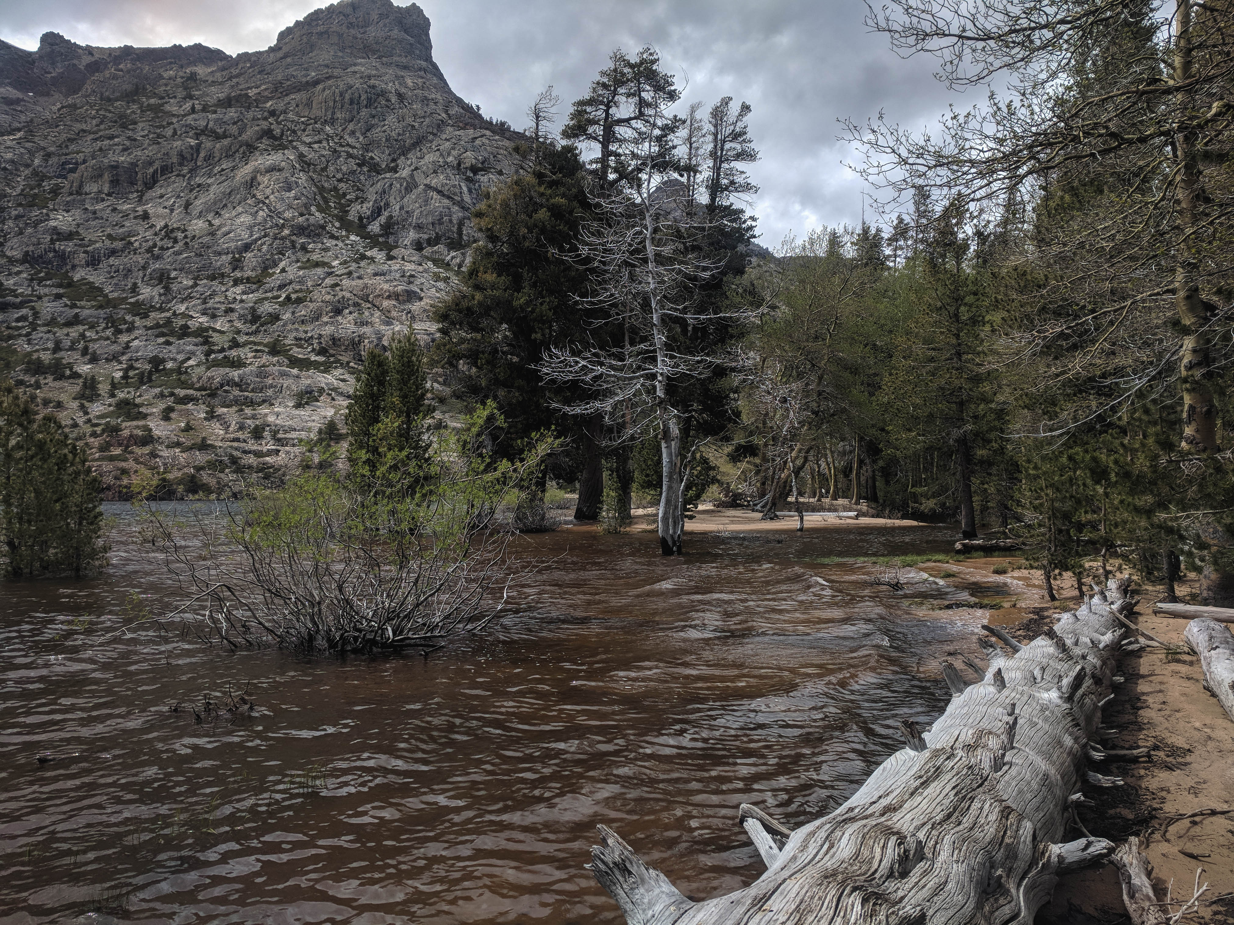
The beach at Benson Lake was significantly reduced due to the very high early season lake level. In other pictures I’ve seen, all of the trees and brush that are underwater in this picture are at least 10 feet from the water’s edge. I had to wade across some knee-deep inlets to get to the far end where there was a bit less water. The bugs were out in the trees and in the slow-moving sections of Piute Creek, but a strong wind kept them off the lakeshore.
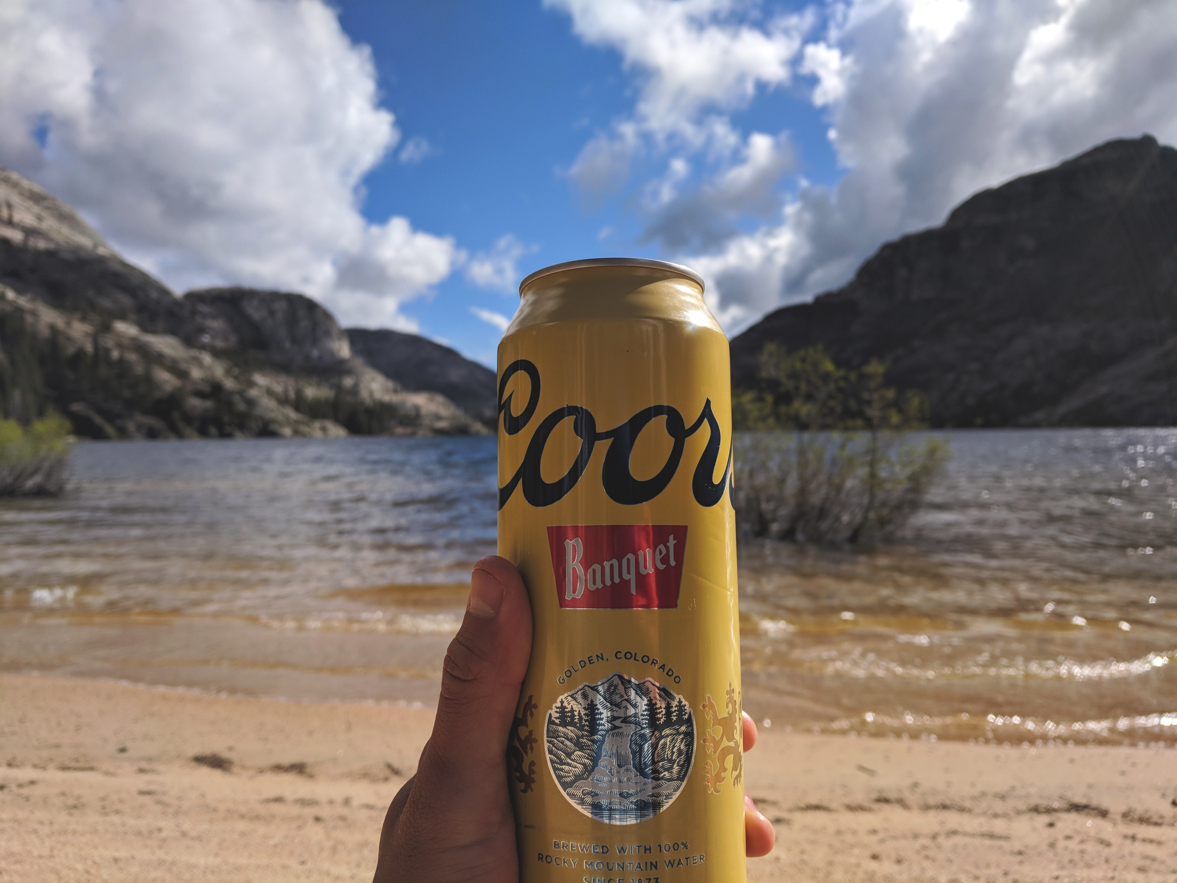
Enjoying a cold one at Benson Lake.