I’m going to devote a fair bit of the report for this day and the next to specific routes. For this day, the cross country route from Minaret Lake to Iceberg lake. For the next day, the west face of Mount Ritter and approach from Thousand Island Lake. I’m doing this because these routes were somewhat interesting, and I think others may be interested in our experience, and the condition in which we found these routes. If you’re not interested in reading about this, that’s fine, feel free to skim it or skip it entirely.
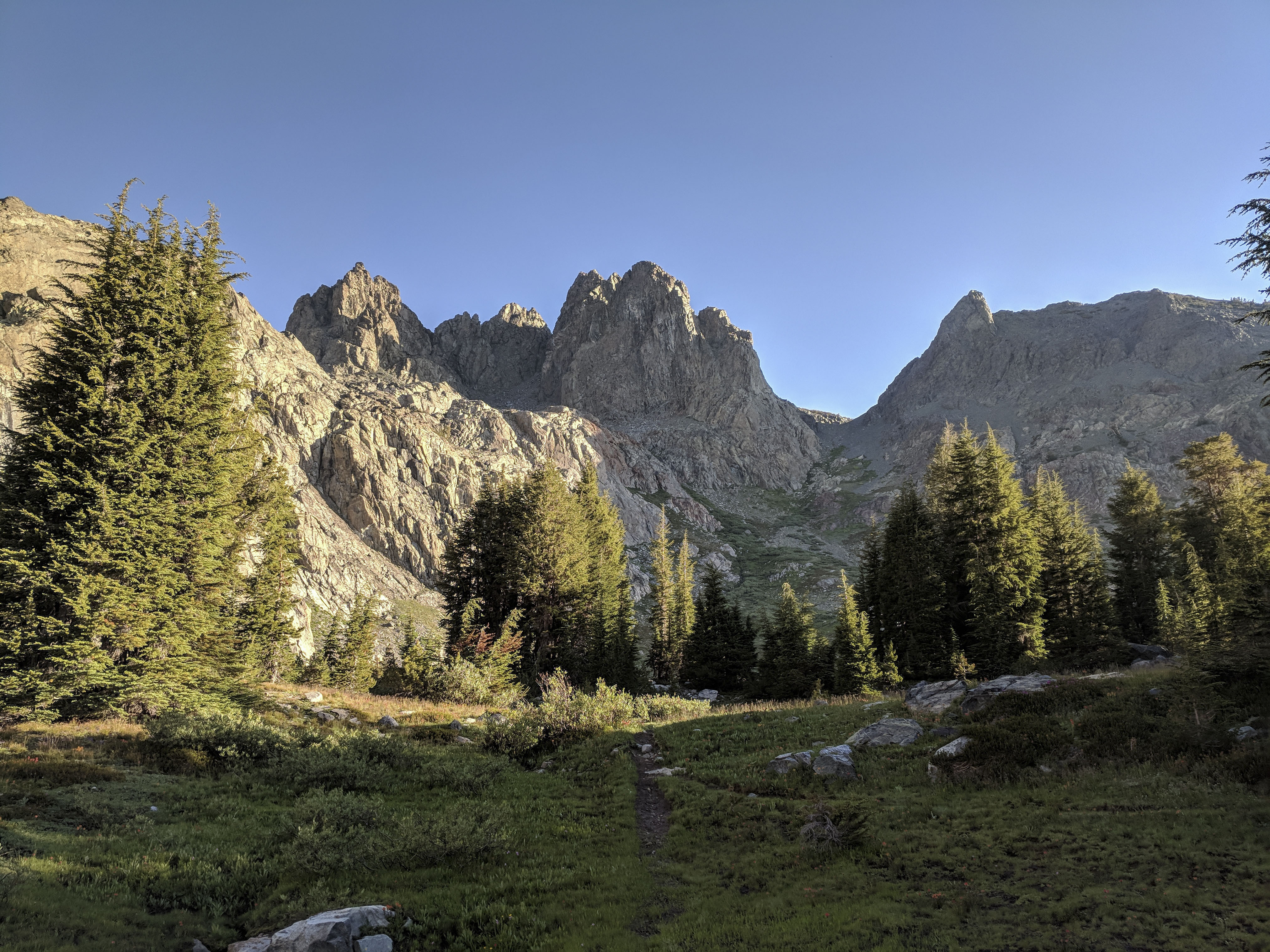
We didn’t really hustle out of camp this morning, as we only had to go about 10 miles. I figured it would only take us 4 hours or so to cover the distance, which would give us some time to lounge at Thousand Island Lake in the afternoon.
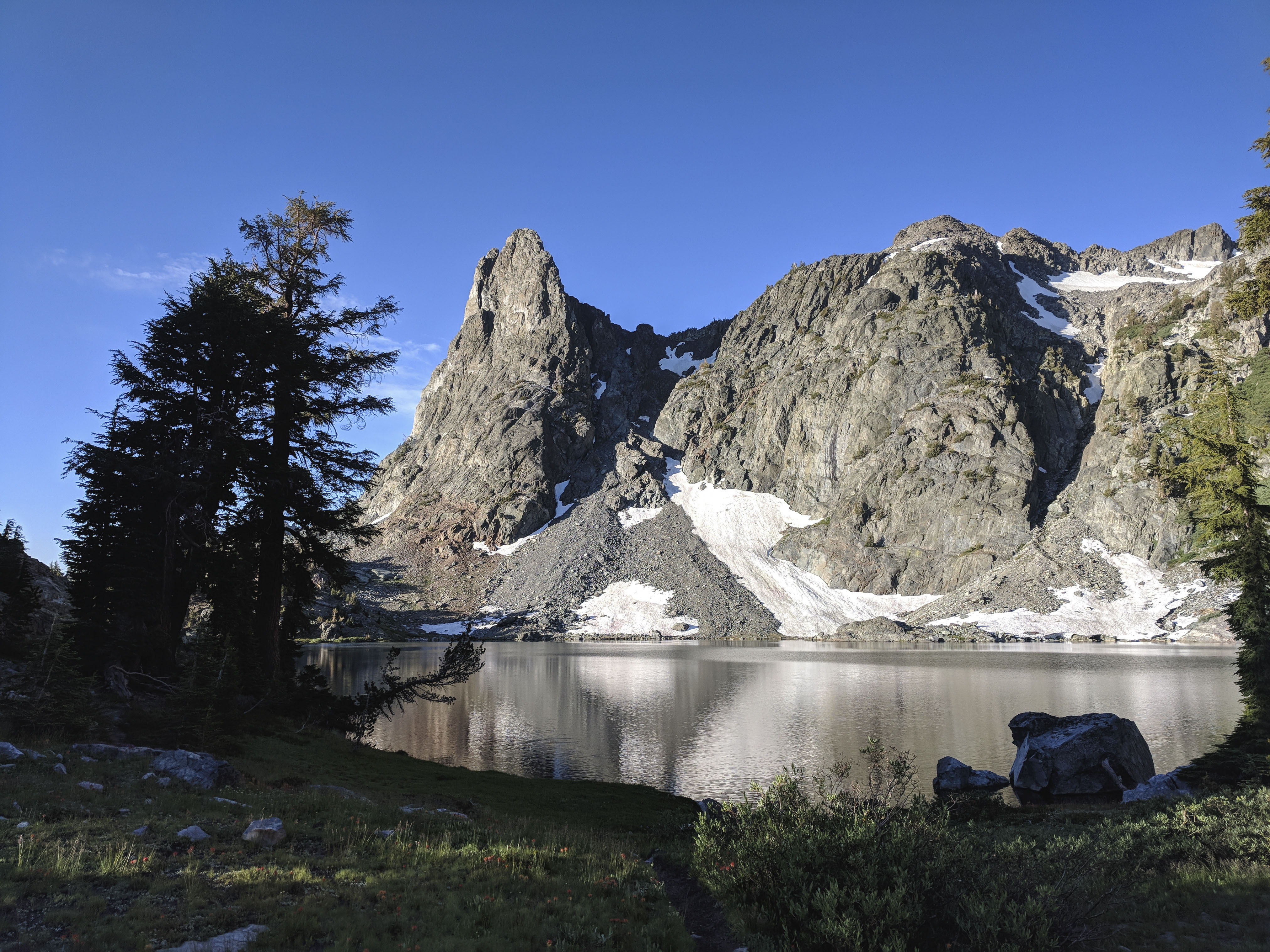
Morning light on Minaret Lake.
Morning light on Volcanic Ridge. The prominent gully in the middle is the route from Minaret Lake. It’s not as steep as it looks.
There’s a fairly prominent trail most of the way from Minaret Lake to Cecile Lake until the route turns to talus. Then it’s fairly straightforward talus hopping around the east shore of the lake to some cliffs
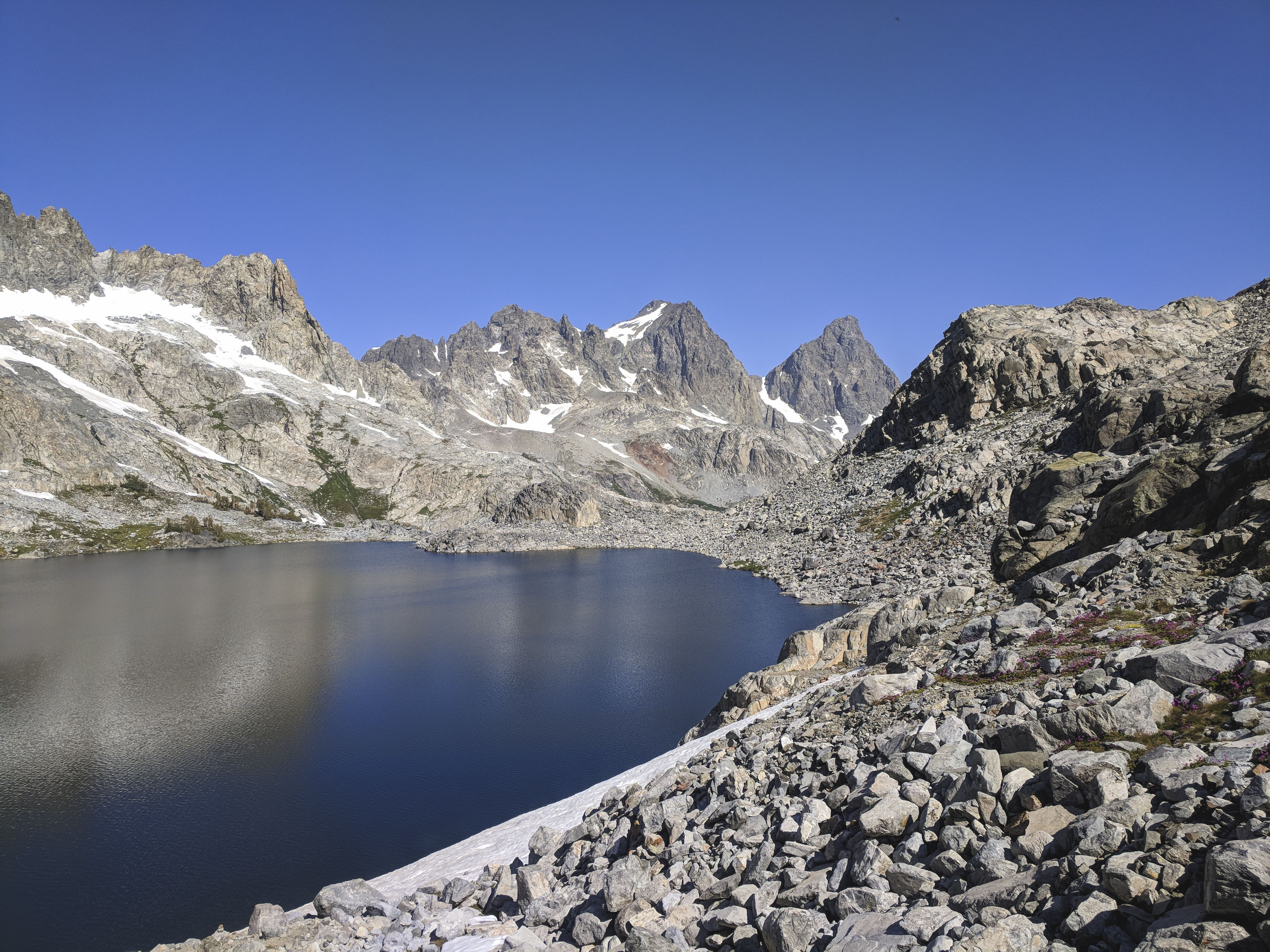
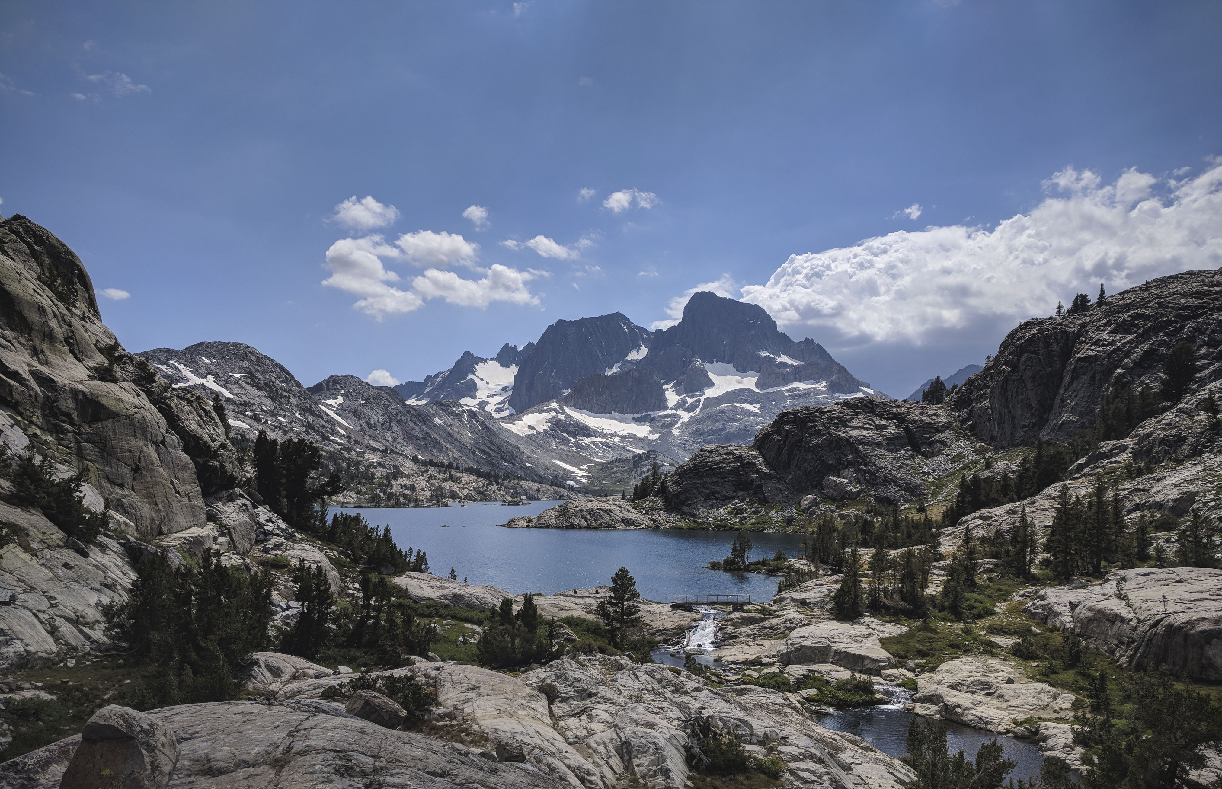
Looking across the talus field along the shore of Cecile Lake towards Mount Ritter and Banner Peak.
Because the basin holding Cecile and Iceberg Lakes is shaded by both the Volcanic Ridge and the Minarets, it holds snow much longer than one would expect. We encountered a snowfield while traversing Cecile Lake and a much larger one on the route from Cecile Lake down to Iceberg Lake.
The first snowfield, on the east shore of Cecile Lake was fairly steep and dropped right into the lake. We tried to kickstep across it, but there was one section where the snow was too hard. We backtracked and climbed up to the top of the snowfield. From there, we dropped down into the bergschrund, which was 3-5 feet wide and crossed to the other side through the bergschrund. I think Dad has a picture of us squeezing between a 10 foot snow wall on one side and rock face on the other. I’ll add it if I can get it from him, it probably looks funny. If we didn’t have that option, it looked like there was another route on the rocks higher up.
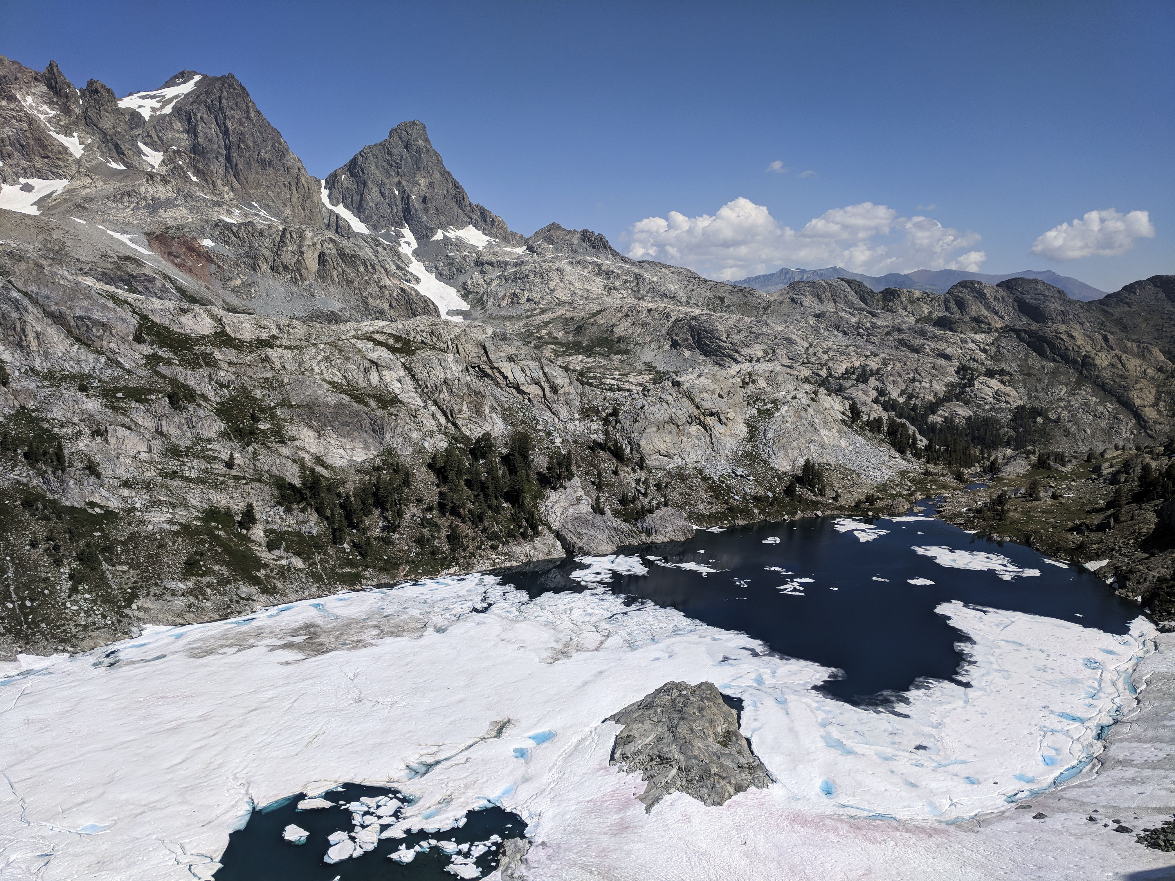
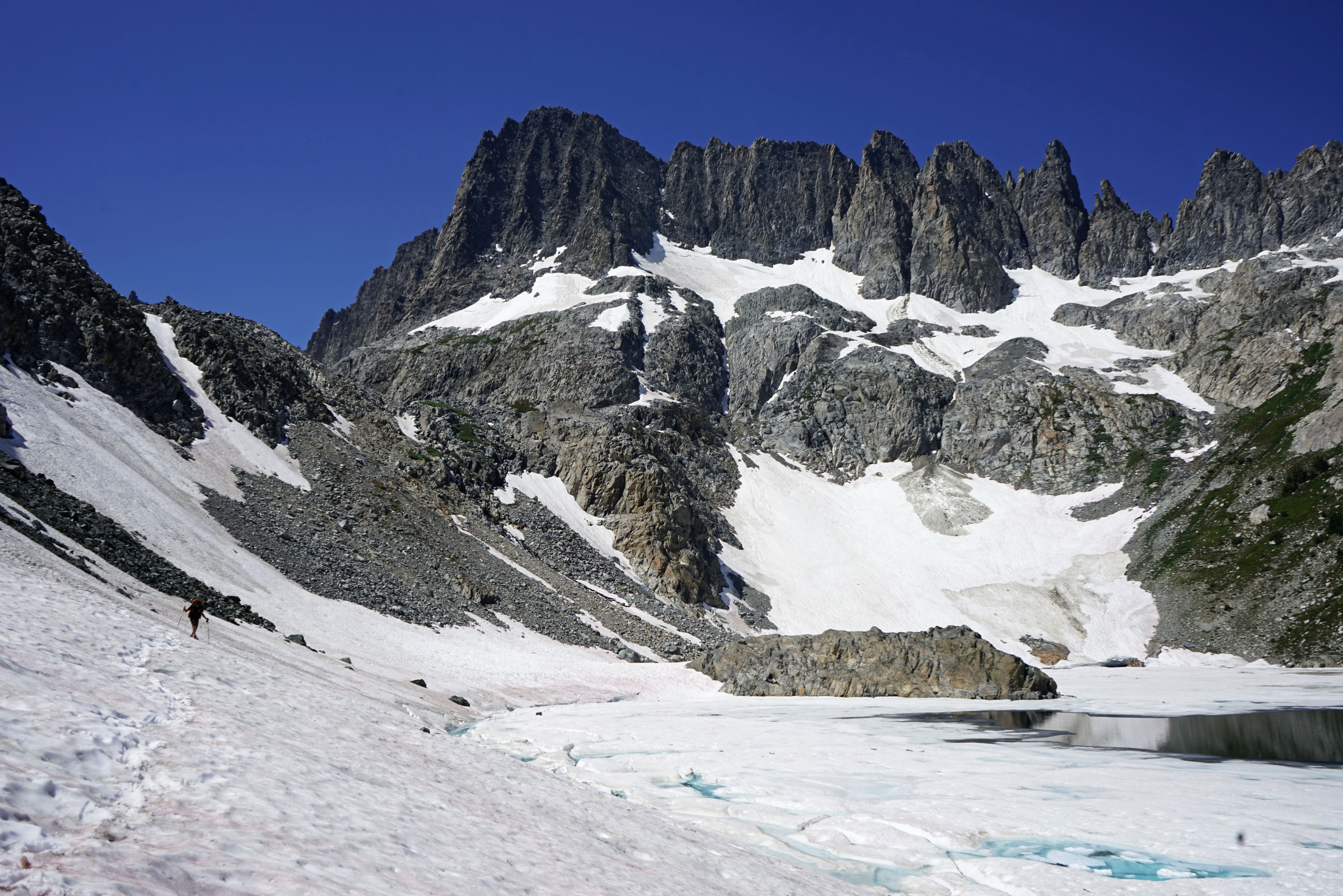
Looking down at Iceberg Lake from the cliffs at the north end of Cecile Lake.
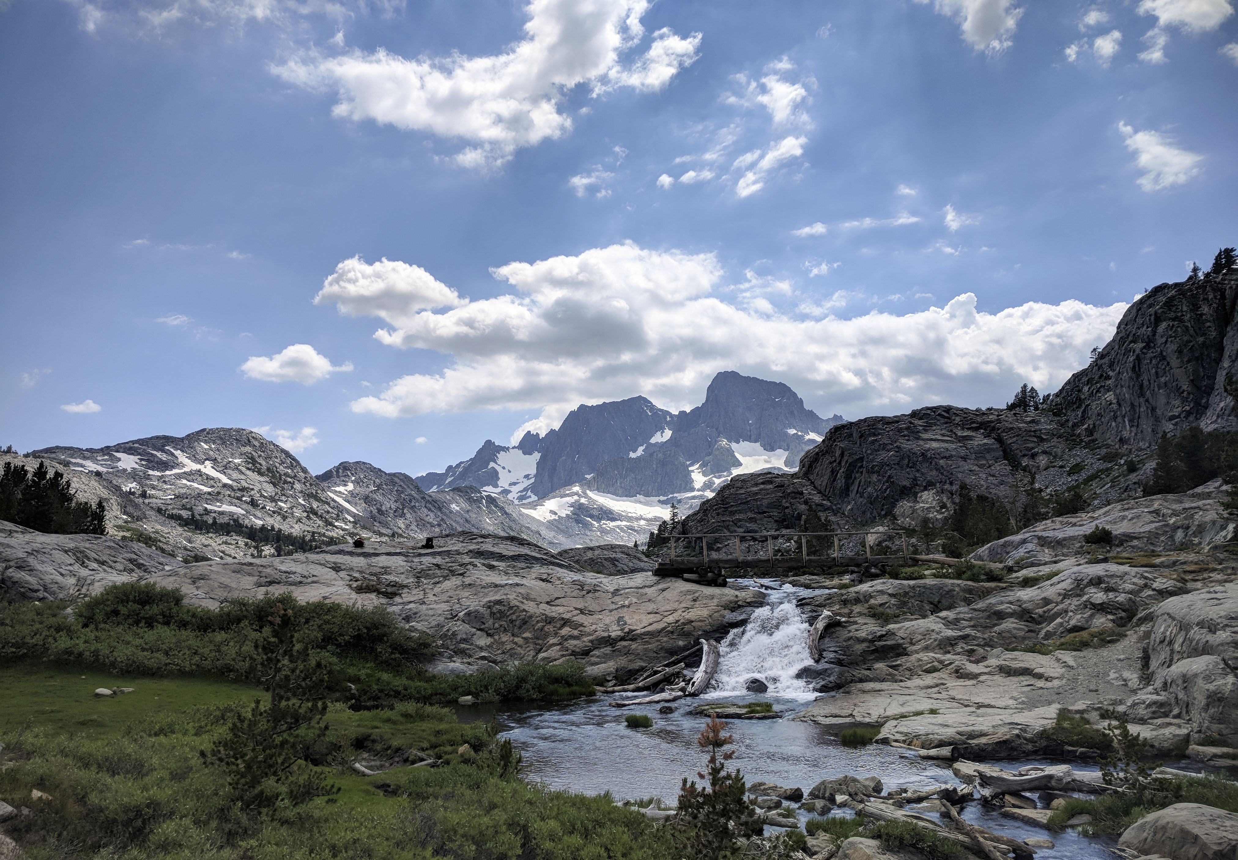
We had to choose our route down from Cecile Lake somewhat carefully. From the cliffs at the north end of the lake, there was a long, very steep snowfield that dropped to steep talus below. Immediately west of this is an area of steeper talus and cliffs that we down climbed to bypass the snowfield. The climbing was easy class 3 at the worst, and there were only a couple of short chimneys that I needed to downclimb. From above, the route isn’t completely visible, but it does appear to be the best option. Additionally, the travel through this area wasn’t so difficult that strict adherence to a particular route is necessary. Later in the season when the long, steep snowfield melted, there’s supposed to be a prominent use trail through this area.
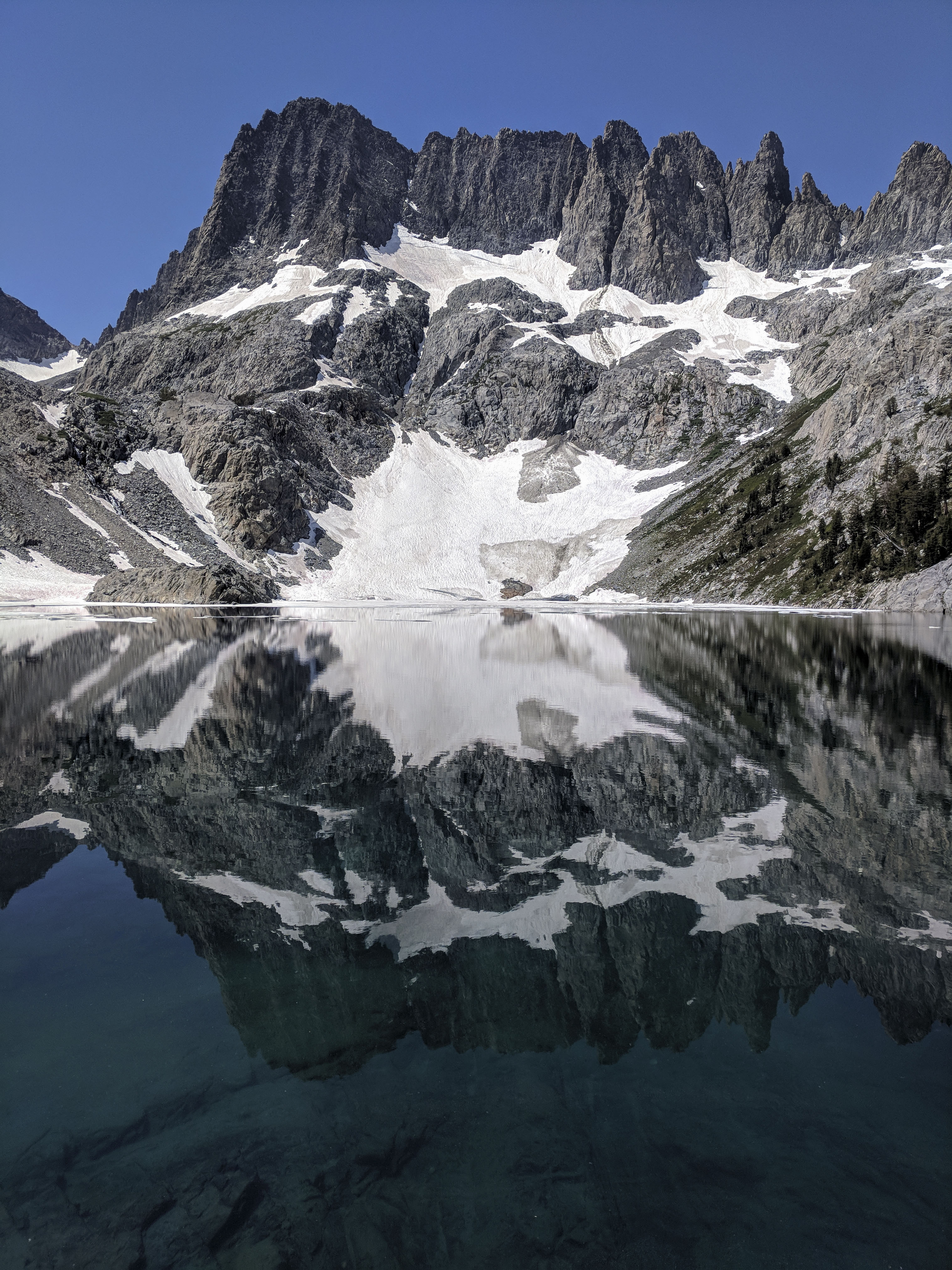
Dad crossing the low-angle snowfield on the southeast short of the aptly named Iceberg Lake.
Below the cliff bands, we dropped to some more talus and scree until we hit a snowfield that covered most of the southeast shore of Iceberg Lake. Fortunately, it was fairly level down by the shore of the lake and the snow was soft enough to make for pretty sturdy footing, so crossing it wasn’t too bad. In the picture above you can see the the steep snowfield coming down from Cecile Lake (it’s on the left side, directly above Dad) and the cliff band that we descended (just to the right of that snowfield).
The FSTopo (and some others) have a marked trail from Iceberg Lake up to Cecile Lake. There may have been one under the snow that we crossed, but you probably won’t find it until late in the season. We found that the easiest route was to the west of where the trail is marked on the map, and follows a path that is almost due north/south, directly towards the peninsula. Then, once the terrain levelled out, we followed a contour line about 20 feet above the lake until we were off of the snowfield.
Altogether, talus hopping and traversing snowfields for the 2 miles from Minaret Lake to Iceberg Lake took about 2 hours. We stopped at Iceberg Lake for a snack and to admire the fantastic views of the Minarets and the crystal clear (and very cold!) water. The rest of the hiking today was all on trail.
From Iceberg Lake, we dropped to Ediza Lake, which had some nice vistas of the Minarets. From here, we continued down the Shadow Creek drainage to the JMT and then followed the JMT north towards Garnet Lake.
Just past Ediza Lake, the trail crosses Shadow Creek in a place where there used to be a bridge. I was surprised by how swiftly the water was moving at this crossing. It wasn’t terrible, but it was knee deep and moving pretty well. Crossing this would be treacherous earlier in the season, or in a year with more snow.
A classic view of Garnet Lake.
<iframe width="560" height="315" src="https://www.youtube.com/embed/gaxmeks4gbo" title="YouTube video player" frameborder="0" allow="accelerometer; autoplay; clipboard-write; encrypted-media; gyroscope; picture-in-picture" allowfullscreen></iframe>
The sky behind us was very dark from thunderstorms forming to the north.
Another classic view at the outlet of Garnet Lake. After this, we continued on to Thousand Island Lake. The storms continued to build and it rained lightly off and on for an hour or so, but that was as bad as it got for us today. We didn’t hear any thunder.
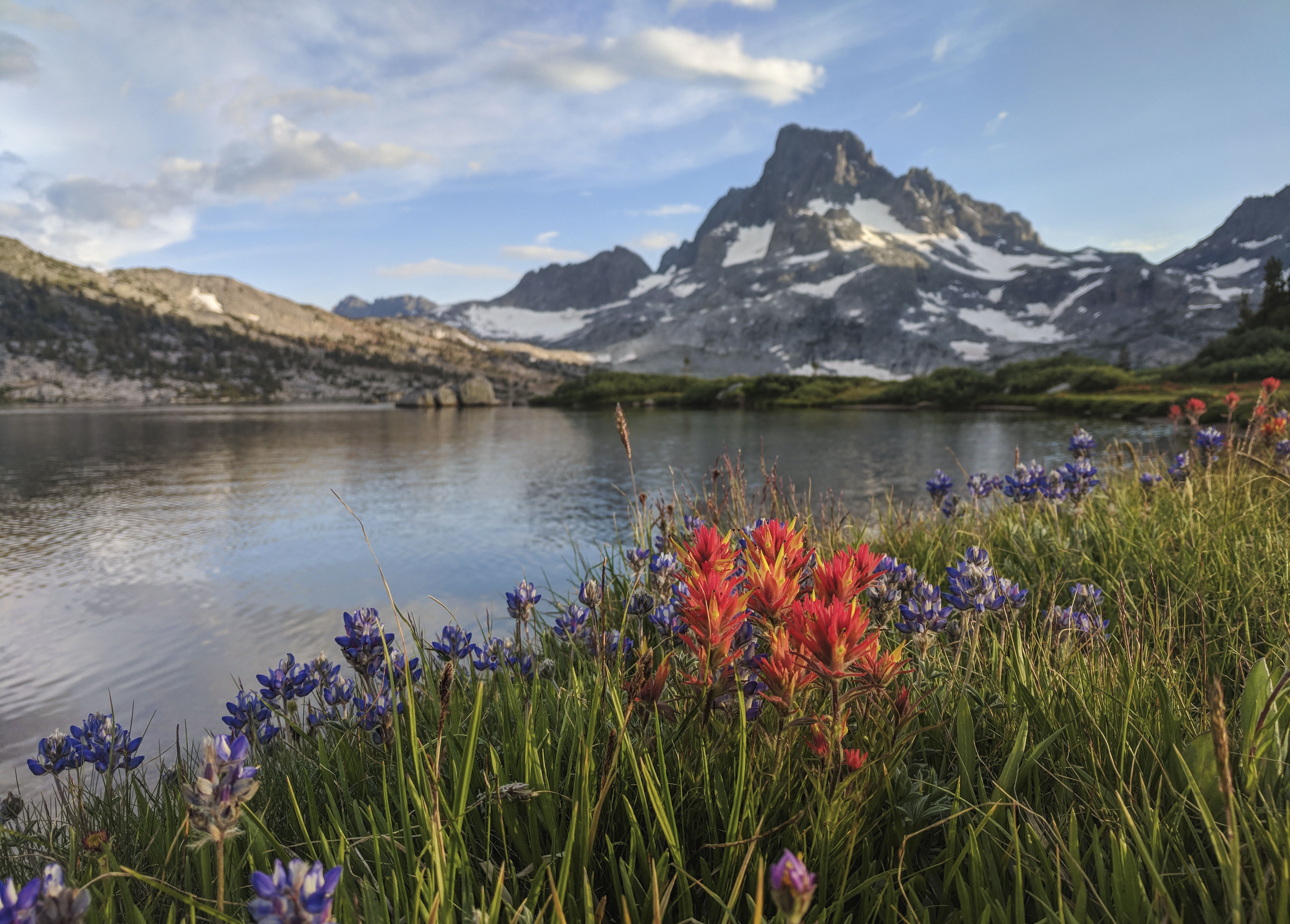
Indian Paintbrush and Lupine (I think) flowers with Banner Peak in the background.
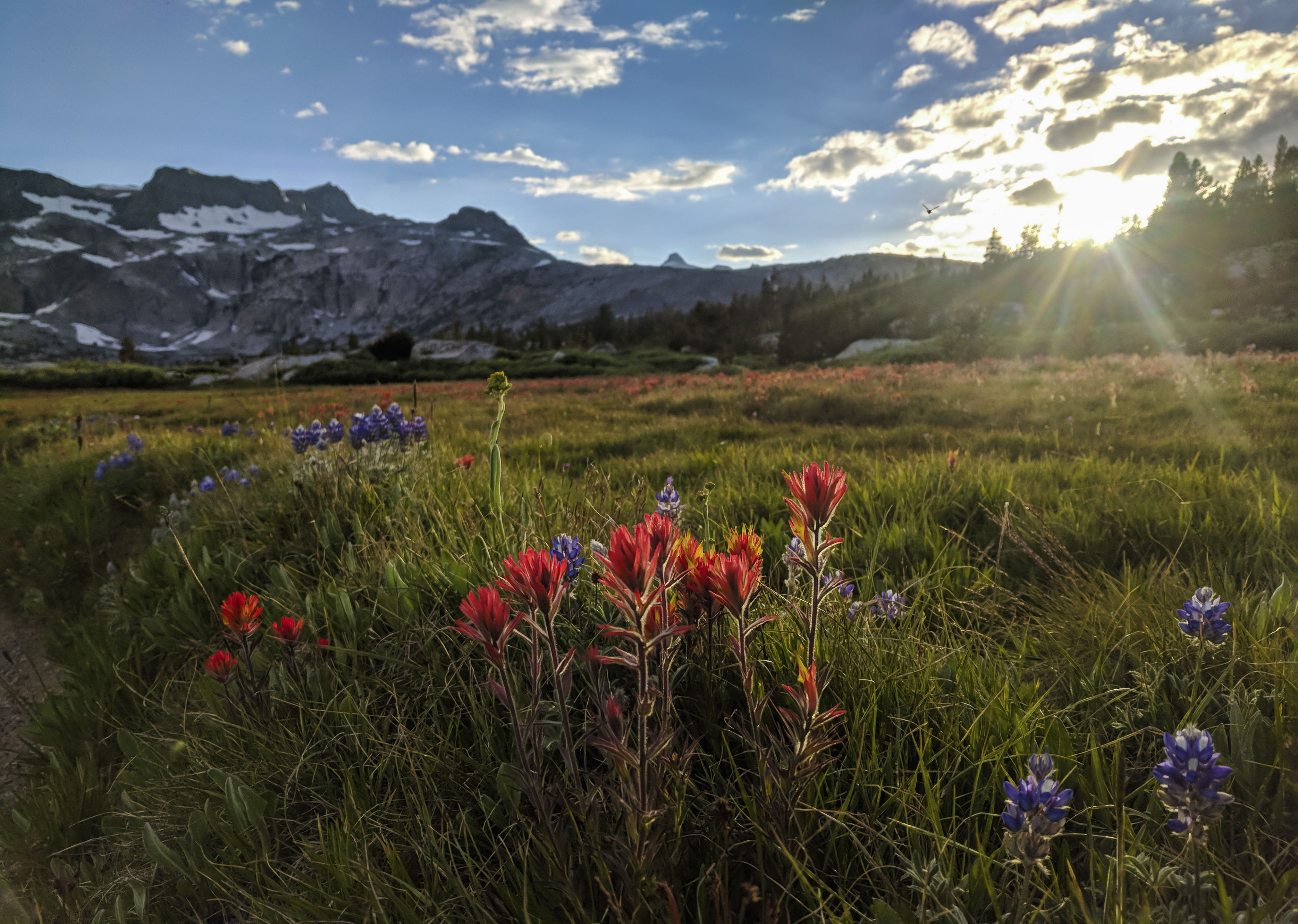
Indian Paintbrush and Lupine with the setting sun in the background.