After studying Secor a bit, we realized that to climb to the Ritter-Banner saddle from Thousand Island lake would require climbing the glacier between the two peaks, which we were not equipped for. Of the routes up Mount Ritter, the West Face was the only one we could access in a day that was easier than class 4, so we settled on that as our objective for the day. It would require we traversed the lakes and bowls around to the other side of the mountain just to get to the base of the climb. I wanted to summit before 11 o’clock or so, as I suspected the weather would get bad again today. We headed out from camp around 6, hoping that we would move faster with just our day packs.
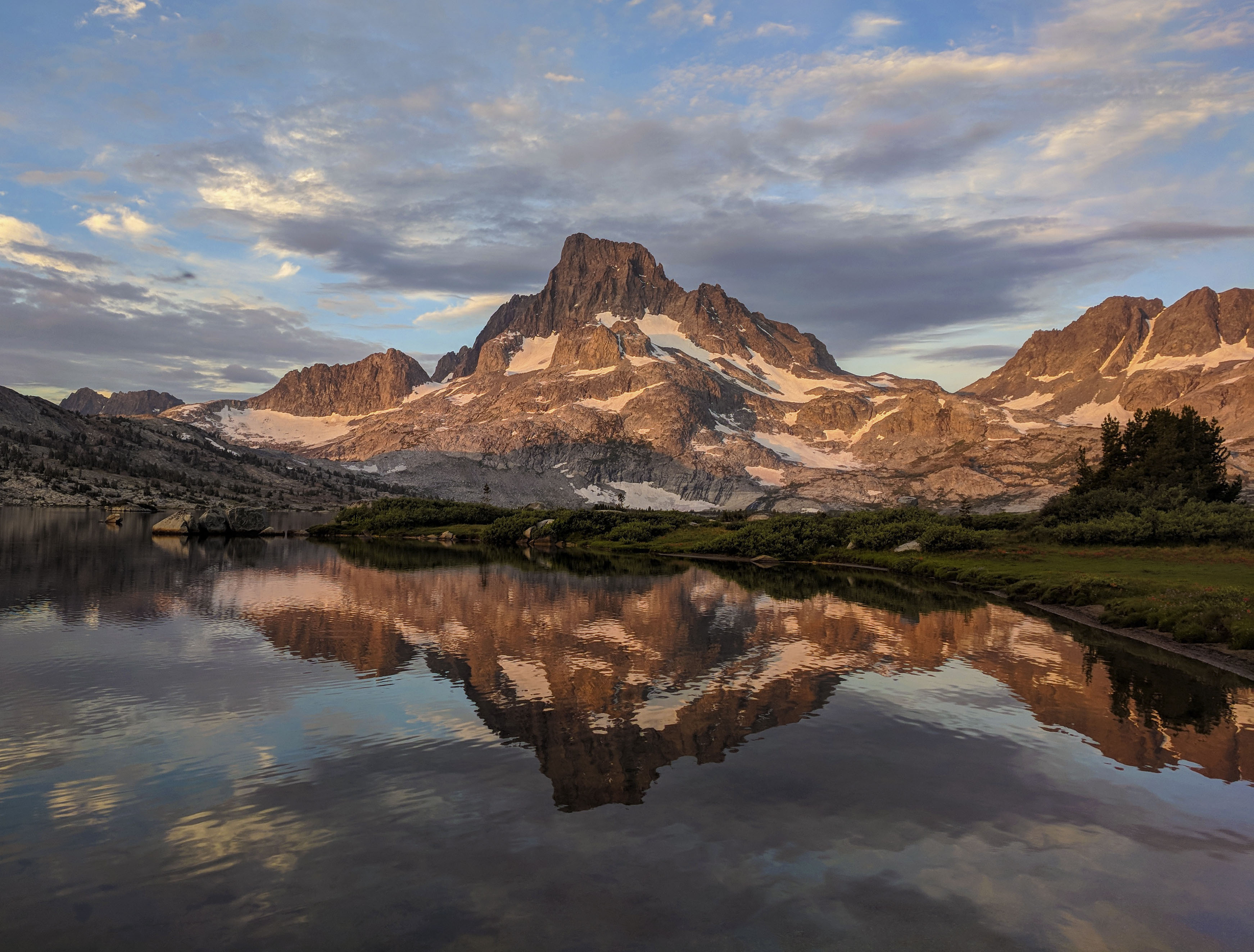
We were treated to a fantastic sunrise over Banner Peak.
The route up to Lake Catherine was pretty straightforward. In fact, there was a use trail until it turned to talus a few hundred feet below North Glacier Pass. We had to cross one not-too-steep snowfield near the top of the pass. When we hit the talus, we just aimed for the lowest point in the saddle above and that popped us out right above Lake Catherine. We traversed the talus on the north and west shores of Lake Catherine.

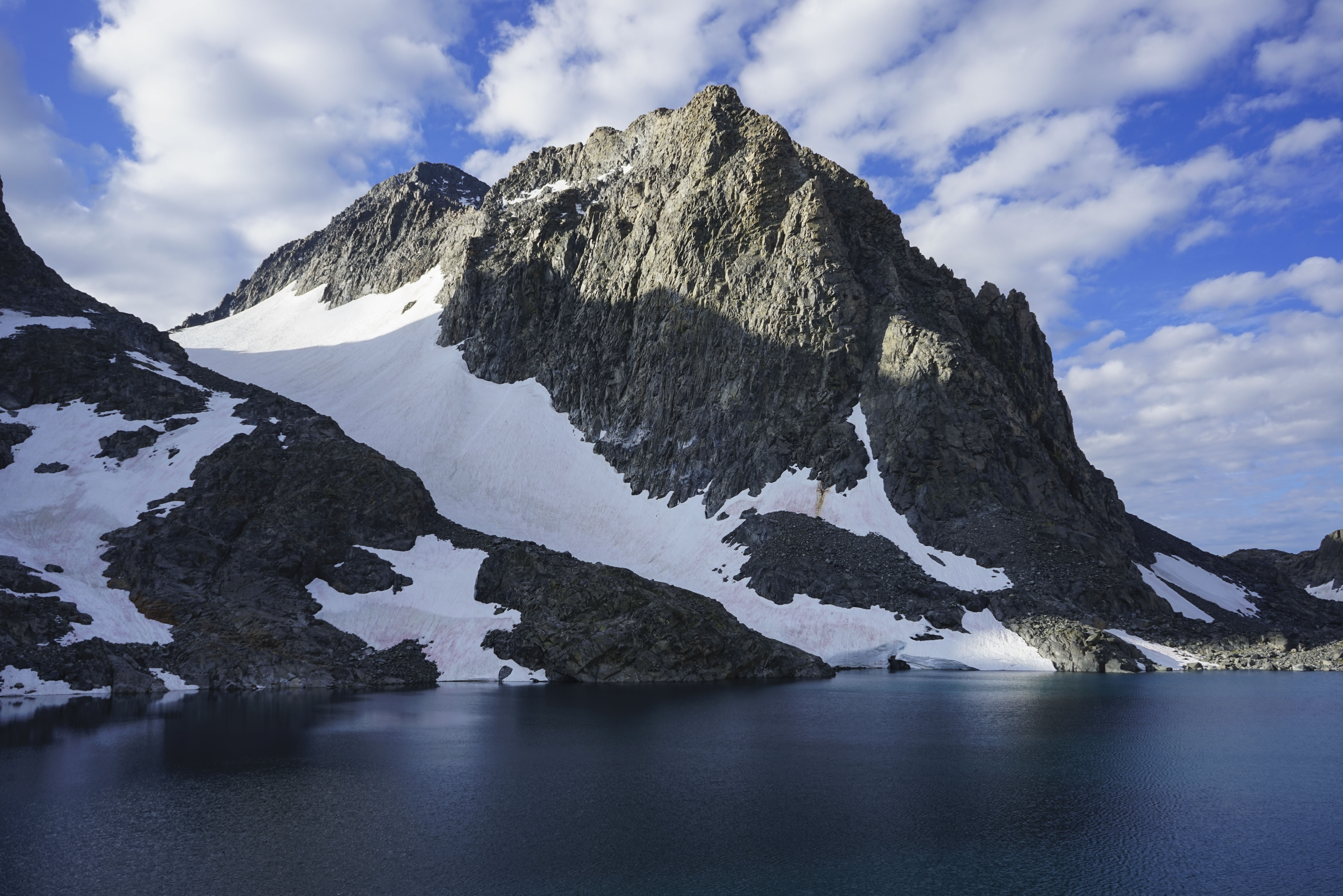
Ritter Lake 10863, we would travel around the west (right in this picture) side of the lake to the snowfield leading up to the saddle in the middle, not the east (left in the picture) side as Secor recommends.
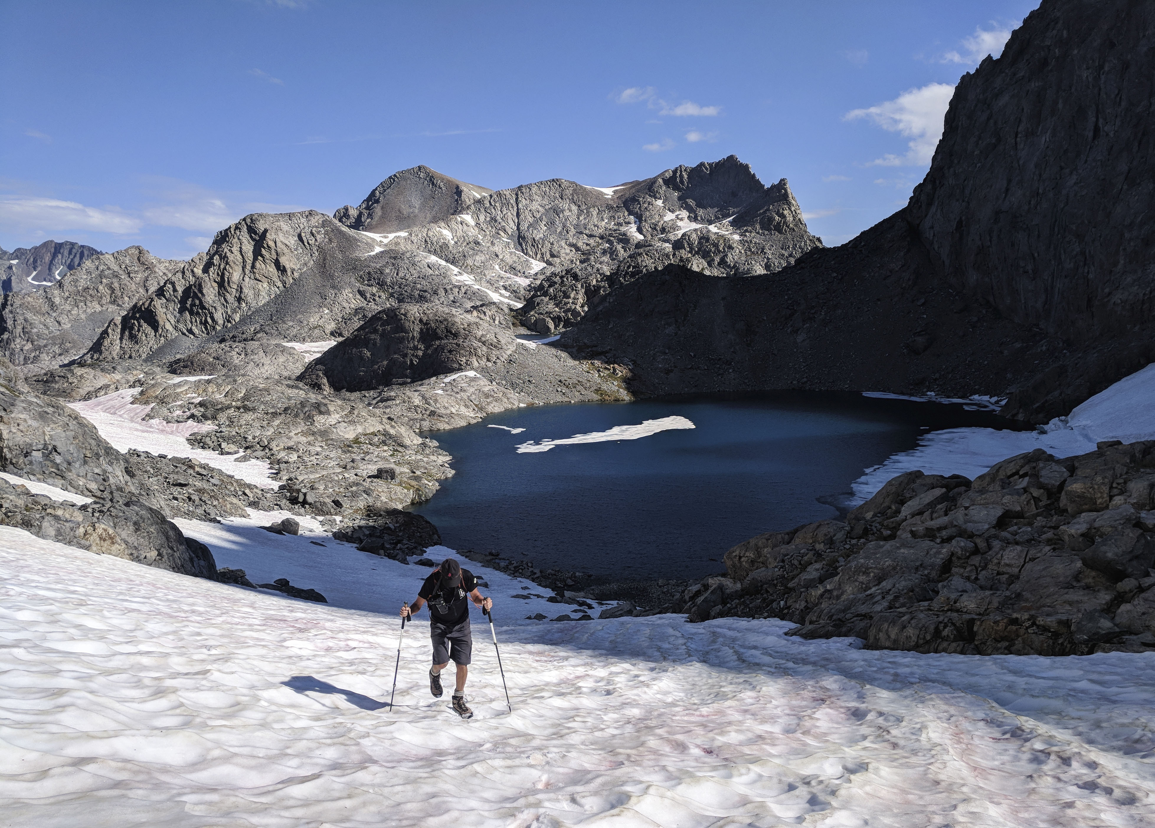
Dad climbing the snowfield up to the saddle below Ritter Lake 11079. The snow was soft enough to provide sturdy footing, and it wasn’t too steep.
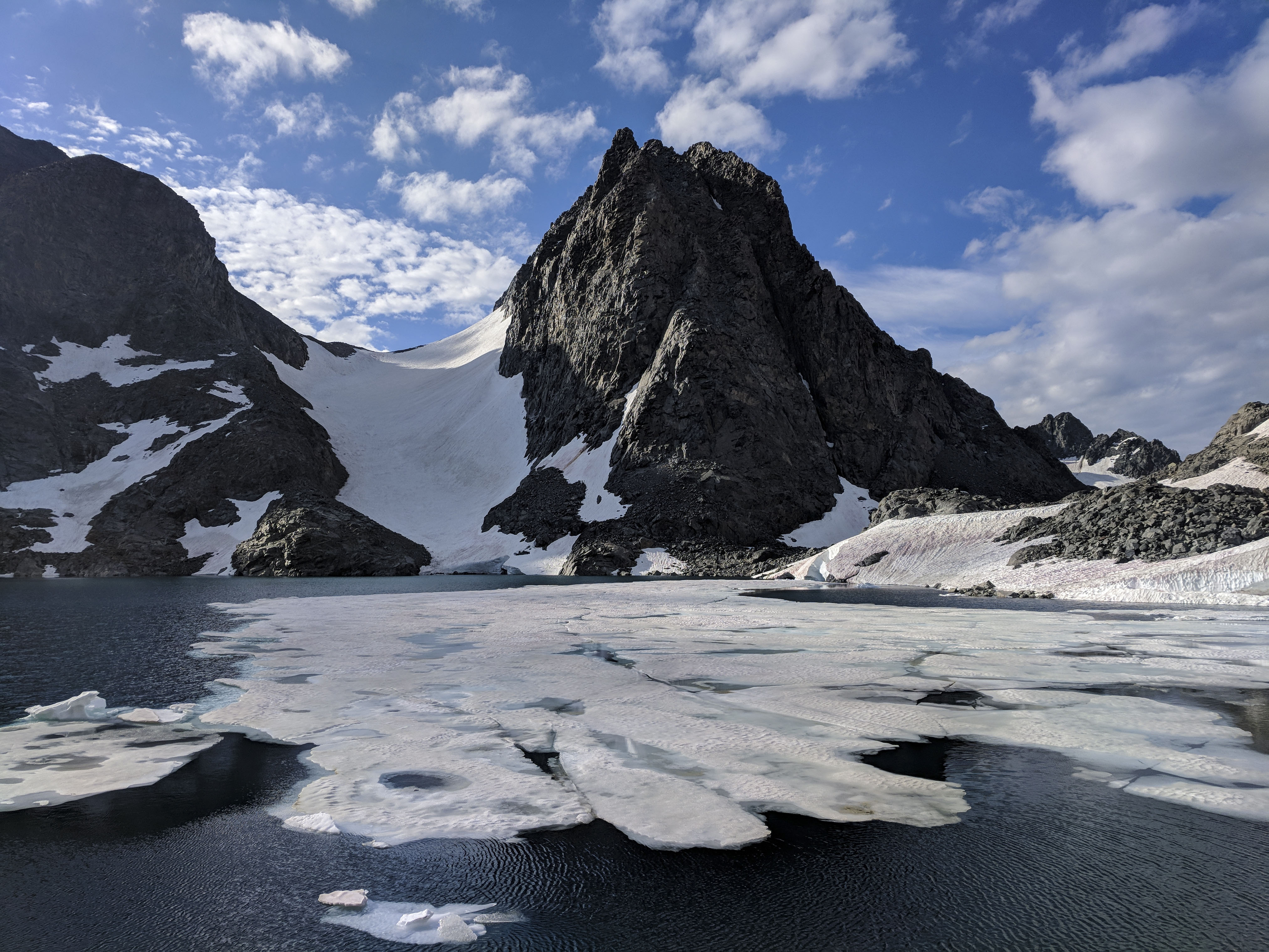
Reaching the outlet of Ritter Lake 11079 meant we were at the base of our climb. I double checked Secor’s route description, which said to start up the second talus fan you cross moving south along the east shore of the lake. However, most of the lower face was covered in snow, so we picked a slope that seemed like it probably lead up to the bowl pictured in Secor’s book.
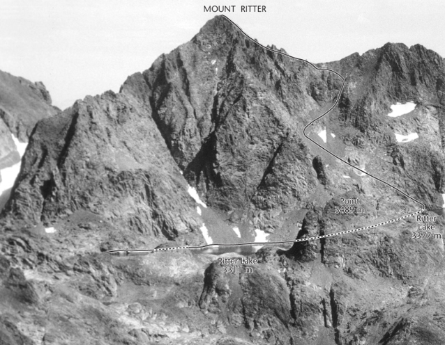
I found Secor’s description of this route fairly difficult to follow. We didn’t get off route, but I had to study it every few hundred feet to ensure we were still on course. This picture was the most helpful part of the route description, but care must be taken to orient yourself relative to the lakes in the picture and figure out where the picture is taken. The SummitPost description of this route appears to be much more helpful.
The rock in the lower bowl on this face was very loose. I tried to scramble on the largest boulders and rock bands I could find instead of the loose piles of talus and sand.

The chimney that shut us down.
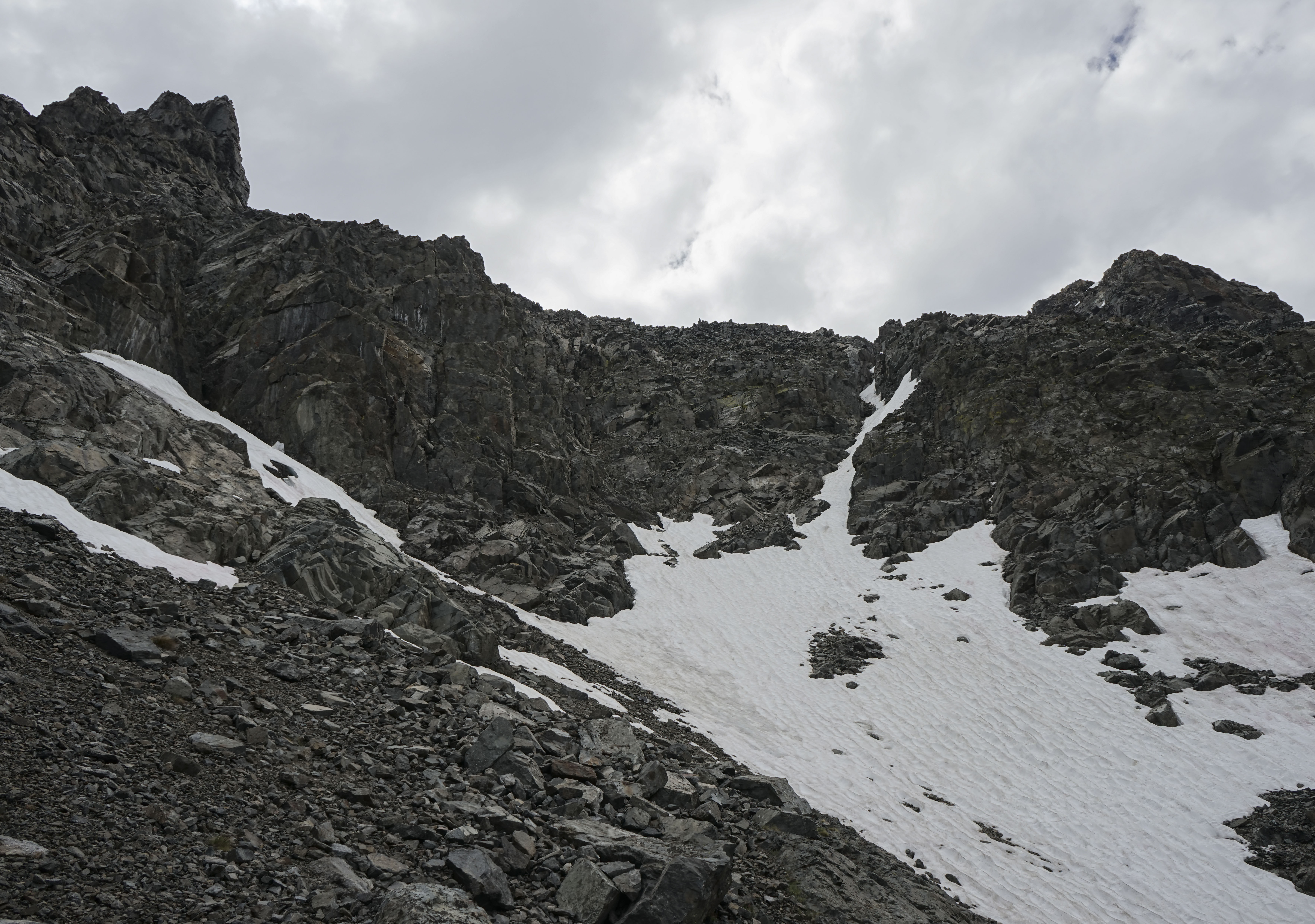
About halfway up the face, the route climbs a chimney system that connects two talus bowls. The chimney is supposed to be steep, but still class 2. Unfortunately for us, it was full of snow, probably at least 3 feet of it. We didn’t feel comfortable traversing the steep snowfield at the head of this bowl as the snow had been getting harder as we moved up, or climbing up (and down) the chimney in that condition. We spent 10 minutes studying the face from below, looking for a way around, but we couldn’t find one. The rest of the face was steep, loose cliff bands. We decided to bail, a tough decision after a 4 hour approach, but the right call for us.
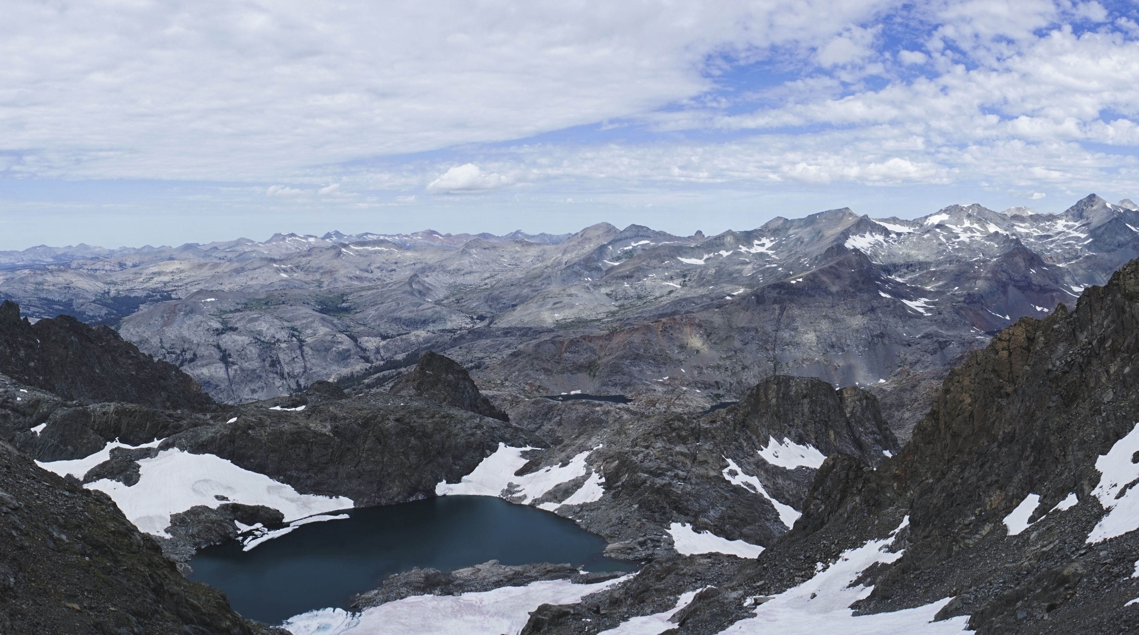
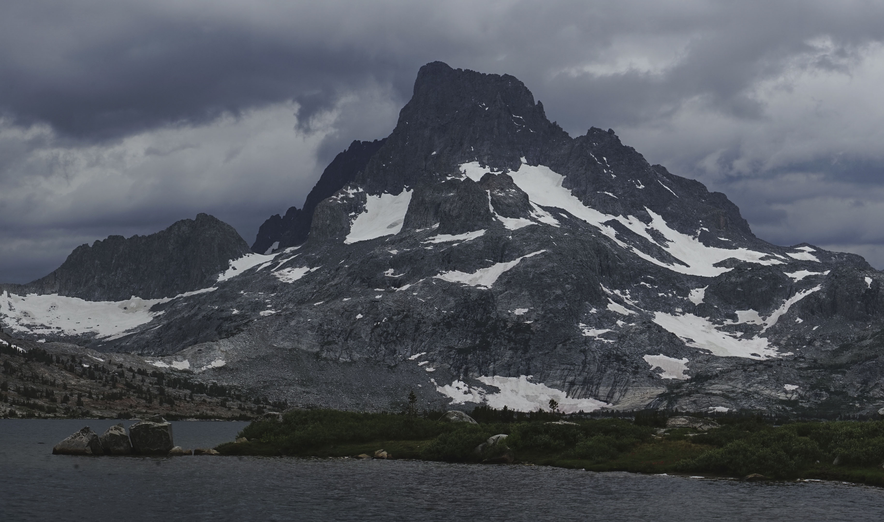
We sat and had a snack for ten minutes overlooking the highest Ritter Lake and the landscape to the west. I believe the high peaks to the right are (right to left) the remote Mount Ansel Adams, Foerster Peak, and Long Mountain. In this picture you can see the bottom of the snowfields we had been climbing.
After our snack, we ambled back down and followed the same route past the Ritter Lakes and Lake Catherine. At Lake Catherine, the thunderstorms started somewhere nearby, so we hustled a little bit to get off the talus on North Glacier Pass. It sprinkled on us just a little bit before we crossed the last snowfield and reconnected with the use trail.
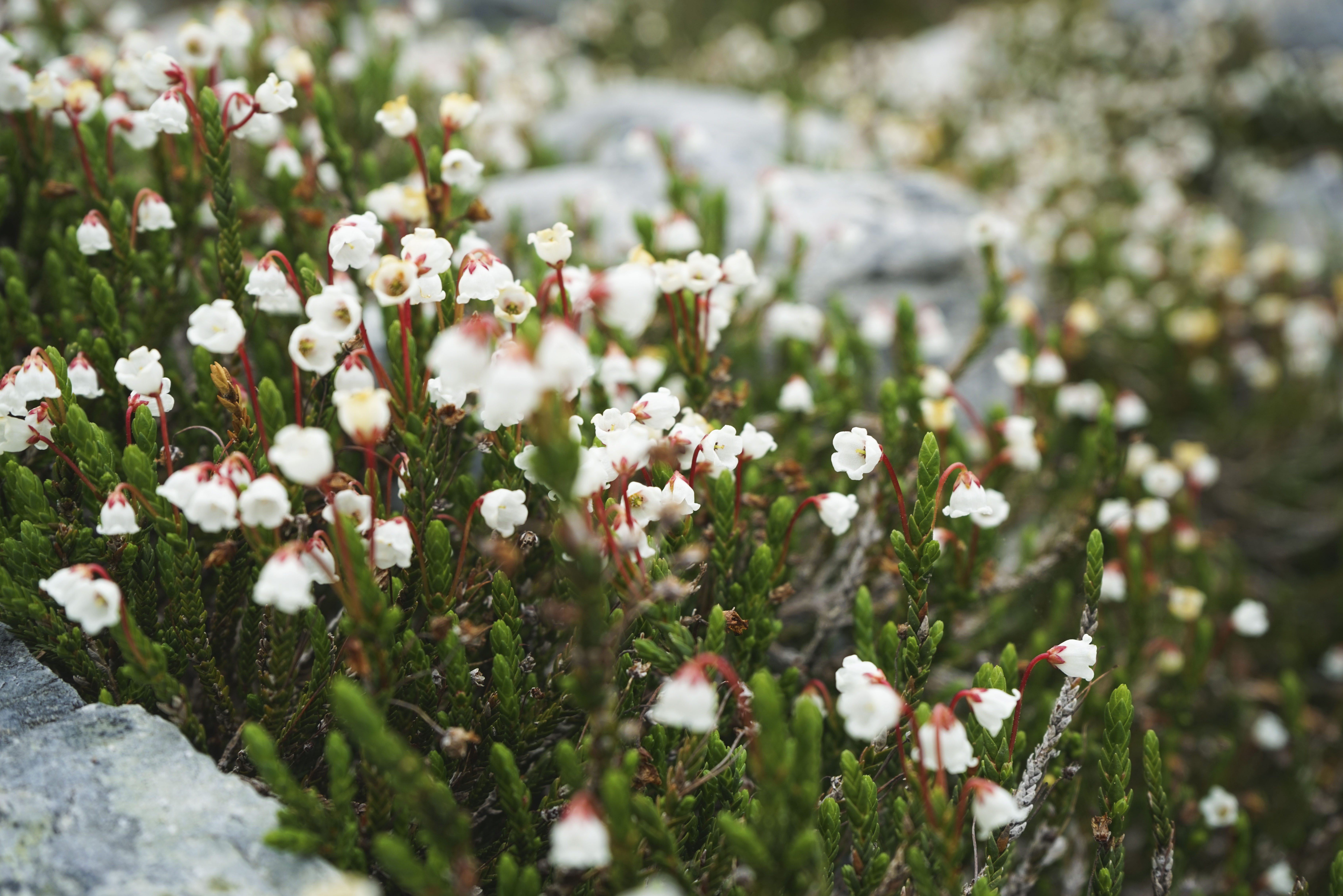
White Mountain Heather.
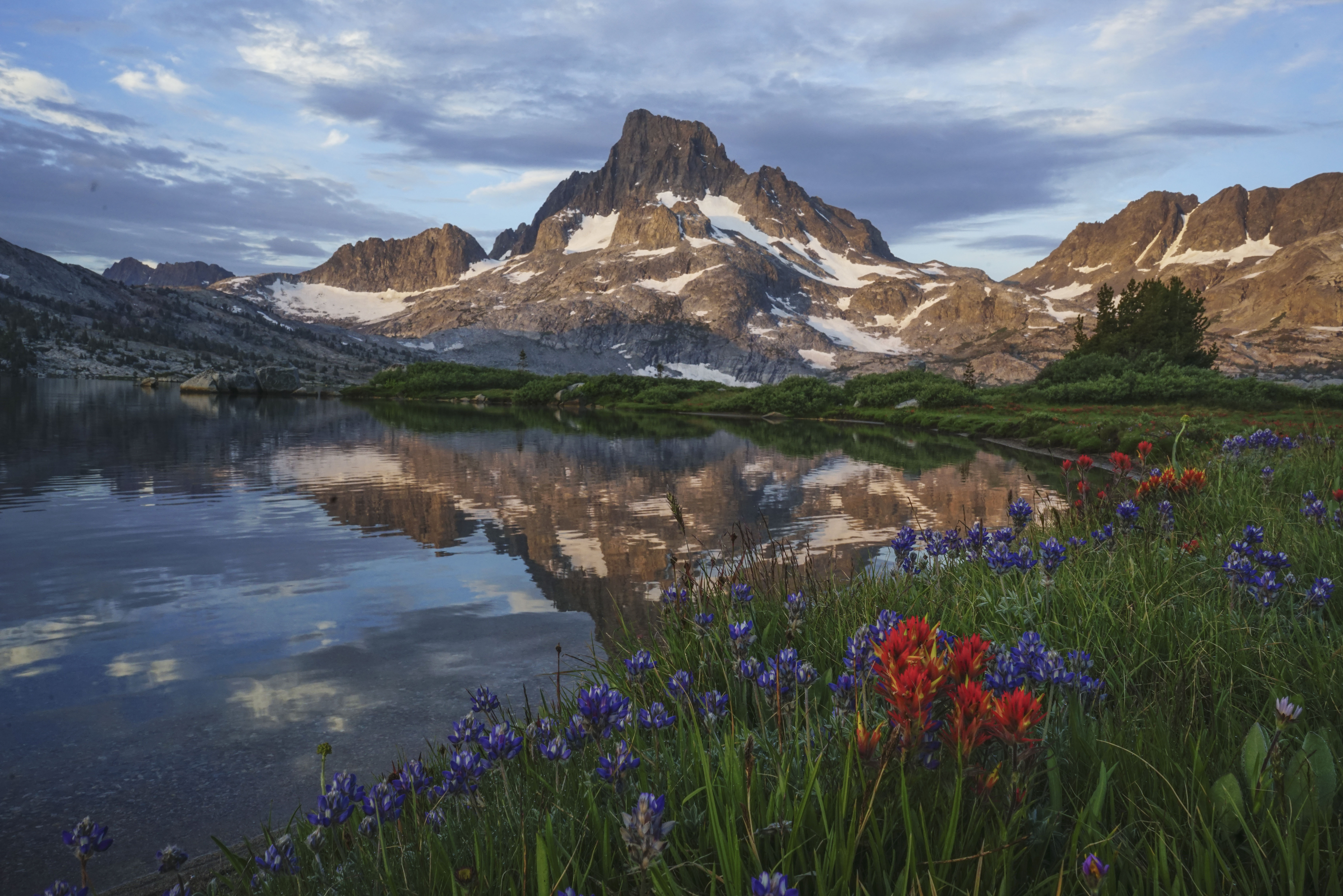
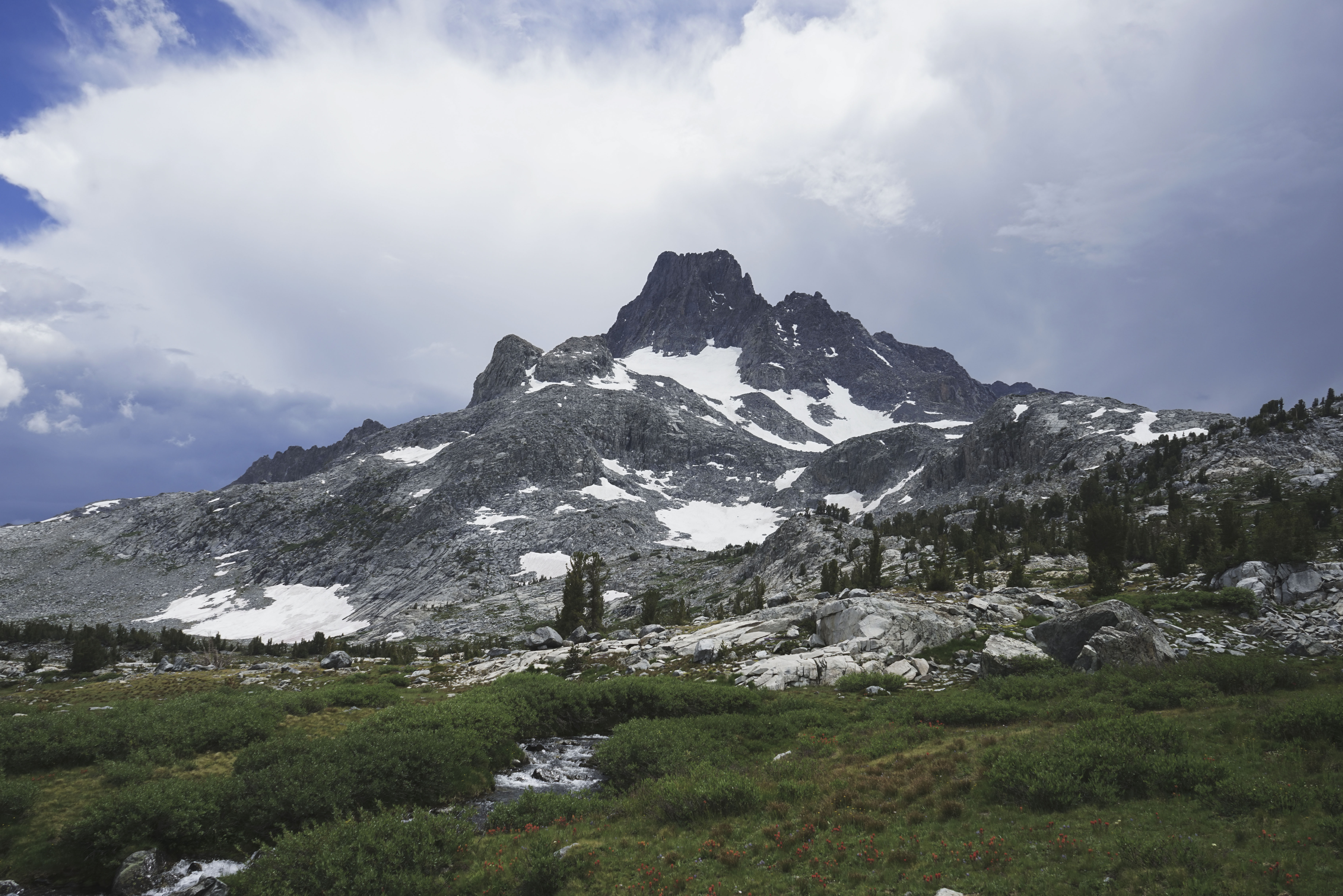
With the rest of the day ahead of us and only a couple of miles to go, we took our time on the way back, stopping for lots of pictures.
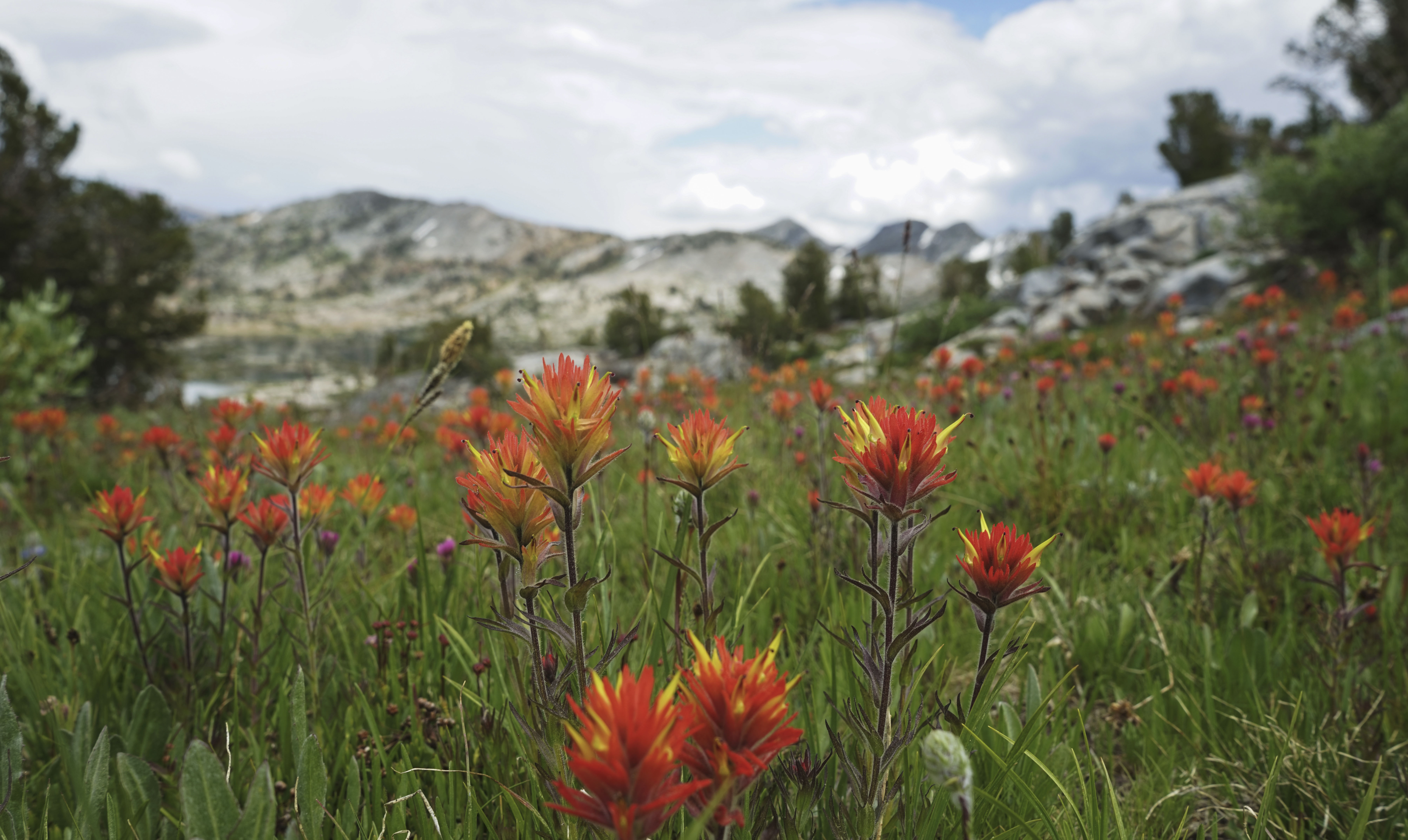
Fields of Indian Paintbrush.
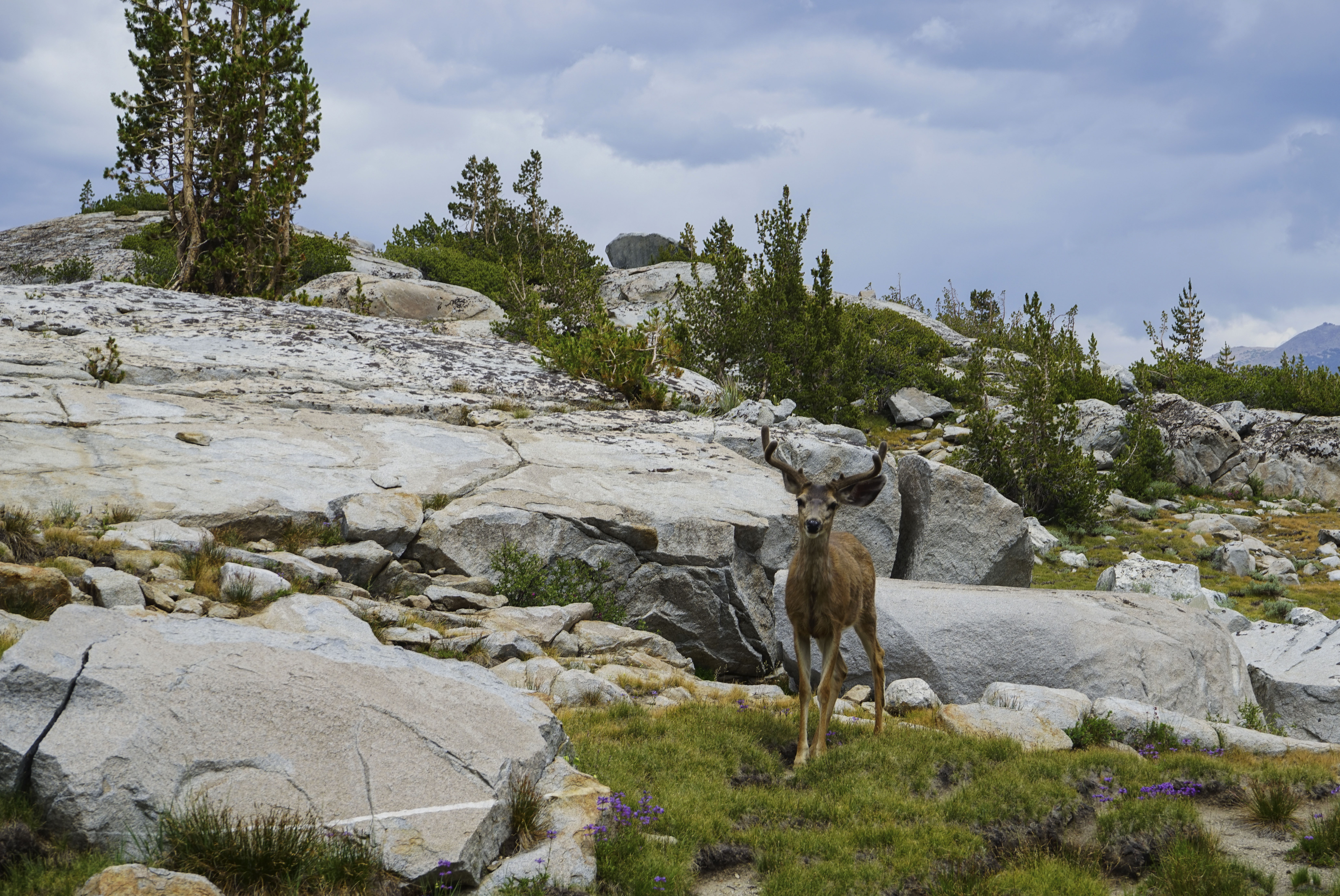
We startled this deer and a friend of his closer to the lake.
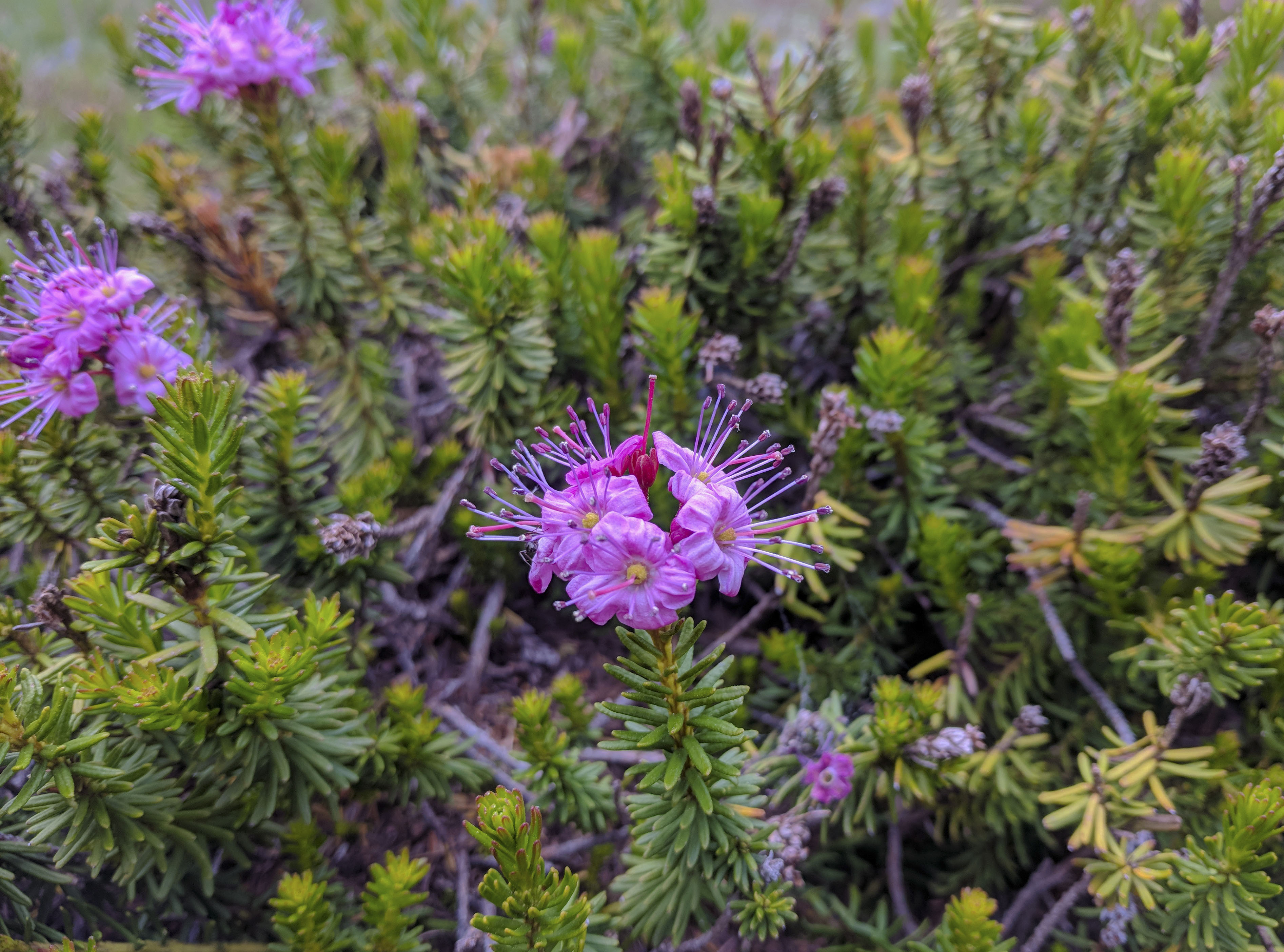
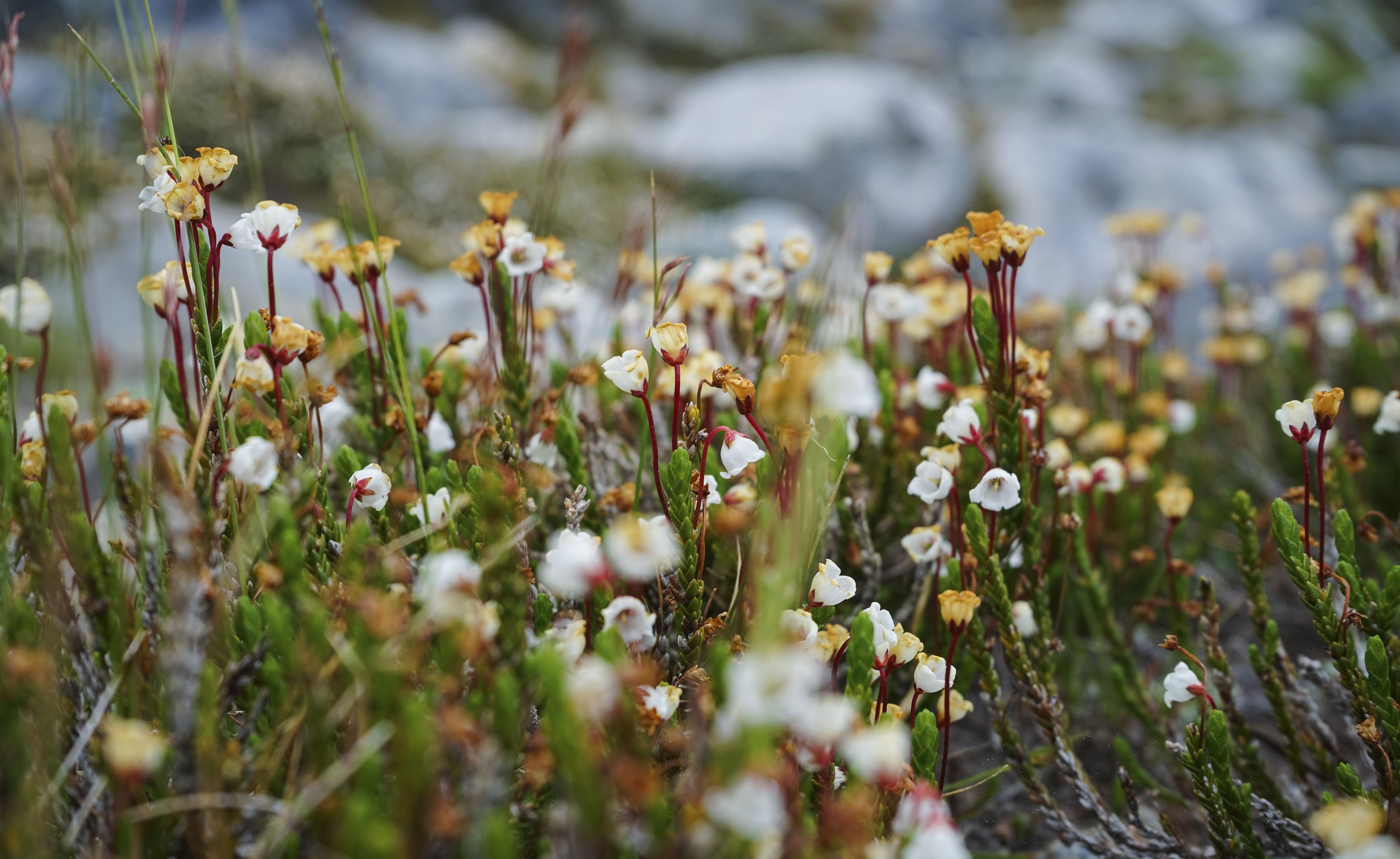
Pink Mountain Heather.
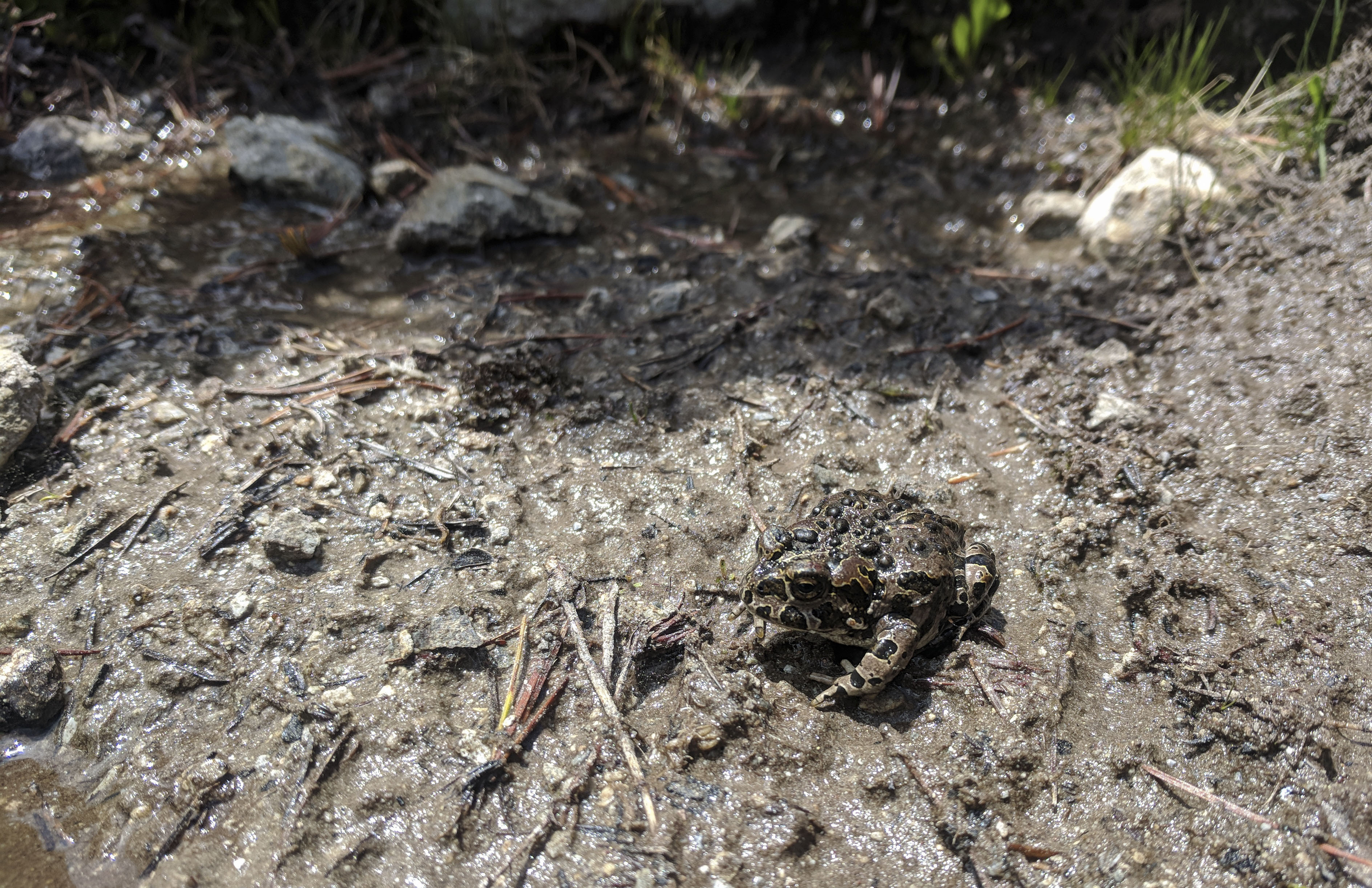
A California Toad.
By the time we made it back to camp, the clouds had become darker, and it looked like it would rain soon. We lounged around until it started, and then I hunkered down in the tent to read for a while. Dad didn’t mind, he said he was testing his rain gear, so he wandered around outside for a while. We used a brief gap in the rain around 6:30 to cook and eat. Because of the rain, we didn’t have any company (mosquitoes) for dinner.
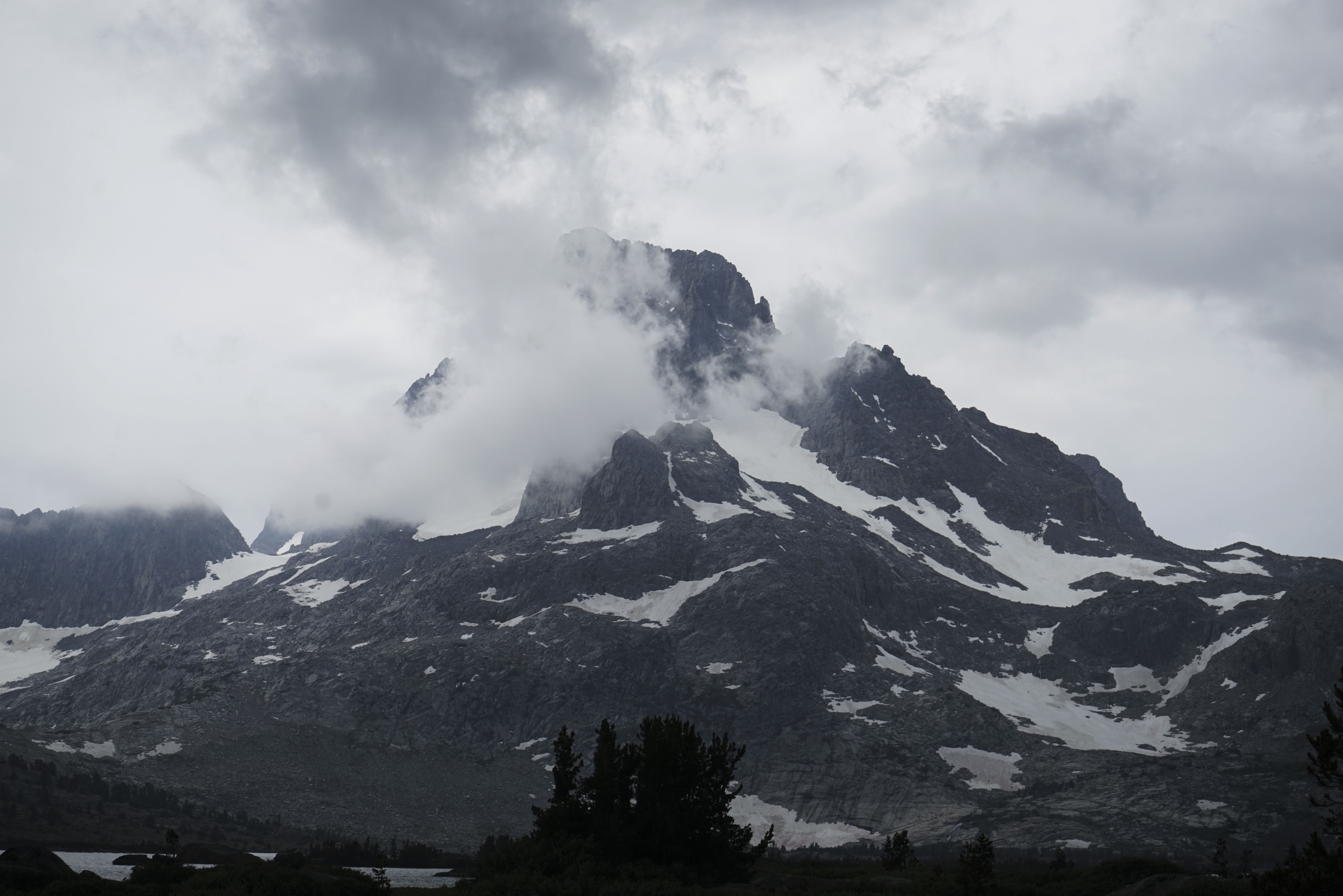
After it rained, the cloud level dropped below the tops of the mountains and swirled around.