This is a trip report for a 4-day, 3-night backpacking trip I took between July 10 and 13 around the Minarets and the Ritter Range with my Dad. Much like my JMT trip report, I’ll focus on providing the best photographs that I can and backing that up with anecdotes and brief descriptions.
After finishing up the JMT, I was planning to meet up with my Dad for a shorter backpacking trip along the 395 corridor.
Our initial plan was to head to The Palisades to try and scramble up Cloudripper and (possibly) Mount Agassiz. However, the weather had other plans. For my last couple of days on the JMT there were afternoon thunderstorms, sometimes surprisingly early in the day. The weather forecast for the duration of this trip was calling for much of the same, possibly worsening. As someone who doesn’t particularly enjoy hiking in the rain, much less thunderstorms, or being confined to a backpacking tent outside of sleeping hours, I wanted to check and see if the weather looked more promising anywhere nearby.
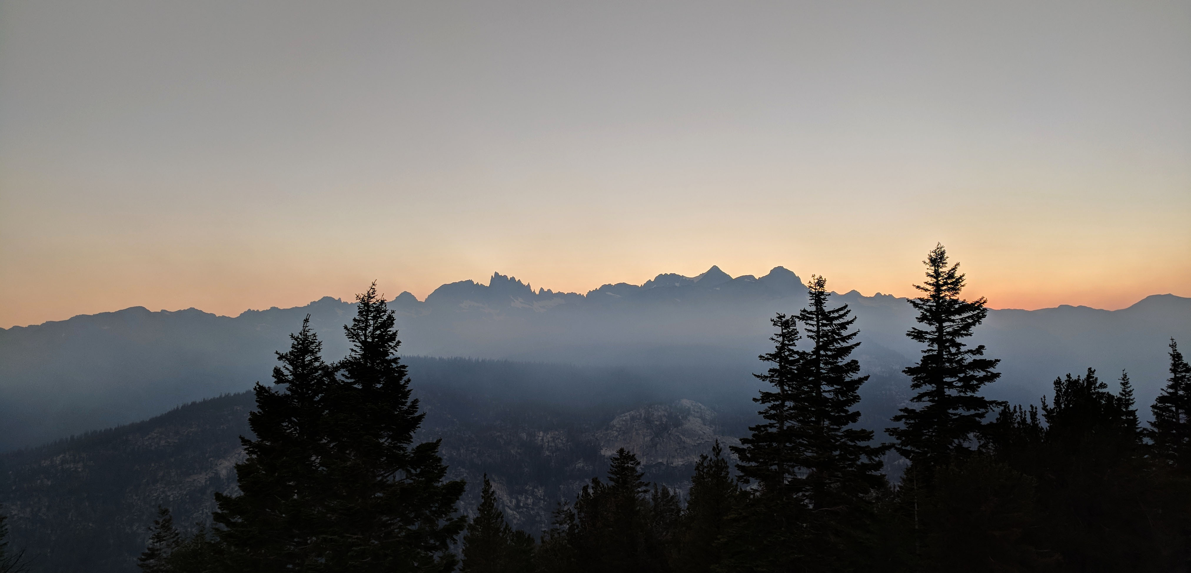
A smoky sunset from Minaret Vista a week before.
On the morning we were to start our trip, I scanned the mountain weather forecasts from Lone Pine to Bridgeport. The forecasts generally agreed on slightly better weather to the north, with a sort of division between two patterns near Mammoth. I had three ideas in mind: the Minarets and Ritter Range in the Ansel Adams Wilderness, Yosemite’s Cathedral Range, or the Sawtooth Range in the Hoover Wilderness. All good bets. I double checked on the status of the nearby Lions Fire which was still smoldering, but not smoking too much. We elected to go for the Ritter Range.
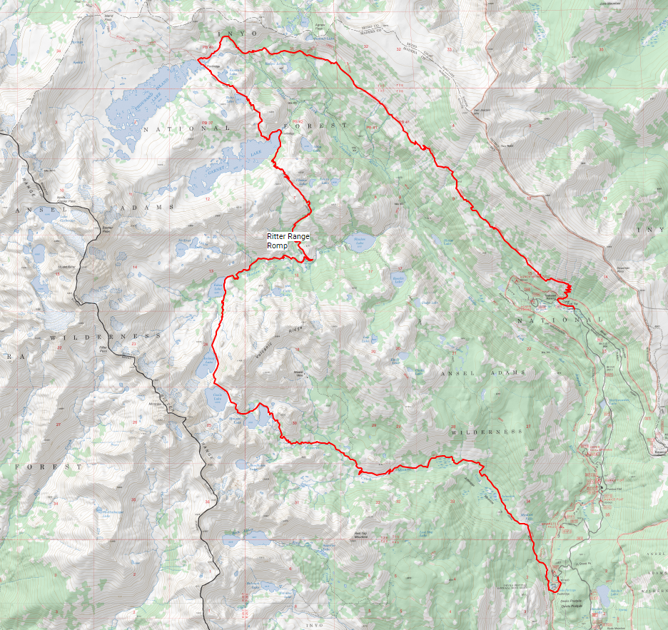
Our plan was to head from Devil’s Postpile up to Minaret Lake, camp there for a night, then continue over the saddle past Cecile Lake, down to Iceberg lake before rejoining the JMT and heading north to Thousand Island Lake. We would camp there for a couple of nights and head up to Lake Catherine to see about climbing Banner Peak or Mount Ritter on the third day. On the last day, we would hike back along the PCT to Agnew Meadows. Twenty-five-ish miles and 5,500’, which should leave plenty of time for side trips. Here’s the Caltopo map.
Of course, that all relied on us securing a permit out of Devil’s Postpile which can be difficult at times. Absent that, there are several other options for starting out along the Devil’s Postpile road that would eventually get us onto that loop in one direction or another, so I wasn’t too worried about it.
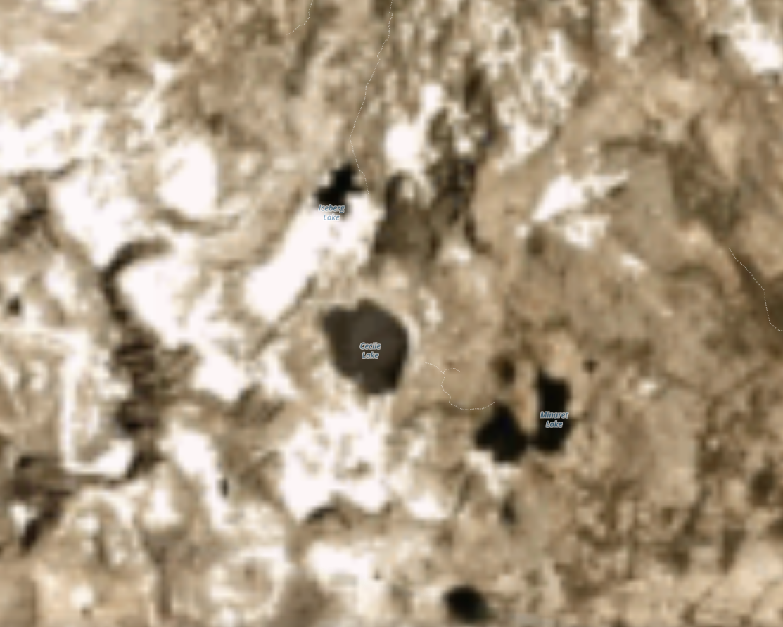
That satellite picture is a high resolution, daily satellite picture of the area from Planet Labs, I have found them to be an invaluable resource for assessing conditions.
I did some very rudimentary route research. The satellite pictures of Cecile Lake showed a bit of snow on the southeast shore of Iceberg Lake, but it appeared to be low enough down that a crossing wouldn’t be too treacherous. And of course, we had plenty of time to backtrack if it proved to be too sketchy. I didn’t bother checking for snow anywhere else, figuring that by mid-July of a below average snow year, it wouldn’t be too much of a problem.
I also checked Secor’s book (The High Sierra: Peaks, Passes, and Trails is an invaluable resource for anyone venturing off trail in the Sierra) for descriptions of the route from Minaret Lake to Iceberg Lake and the routes up Volcanic Ridge, Banner Peak, and Mount Ritter. Nothing too surprising there. He says Minaret Lake to Iceberg Lake is a popular cross country route with some talus hopping near Cecile Lake, the climb of Volcanic Ridge is a straightforward sand hill from Minaret Lake, Banner Peak is class 3 ridge scramble from the Ritter-Banner saddle, and I identified two options for Ritter: the class 4 route from the Ritter-Banner saddle which I wasn’t too excited about trying as the rock in the Ritter Range is generally loose, or the class 2 West Face. Rather than try and memorize the intricacies of each of these routes, I would bring Secor’s book along as an e-book on my phone.
We were ready to roll.