
Despite the background sounds of parties breaking down camp and hitting the trail from as early as 5, we stayed in our sleeping bags until the first light hit the Painted Lady. Then, jumped out to snap a few pictures and brew up some coffee.
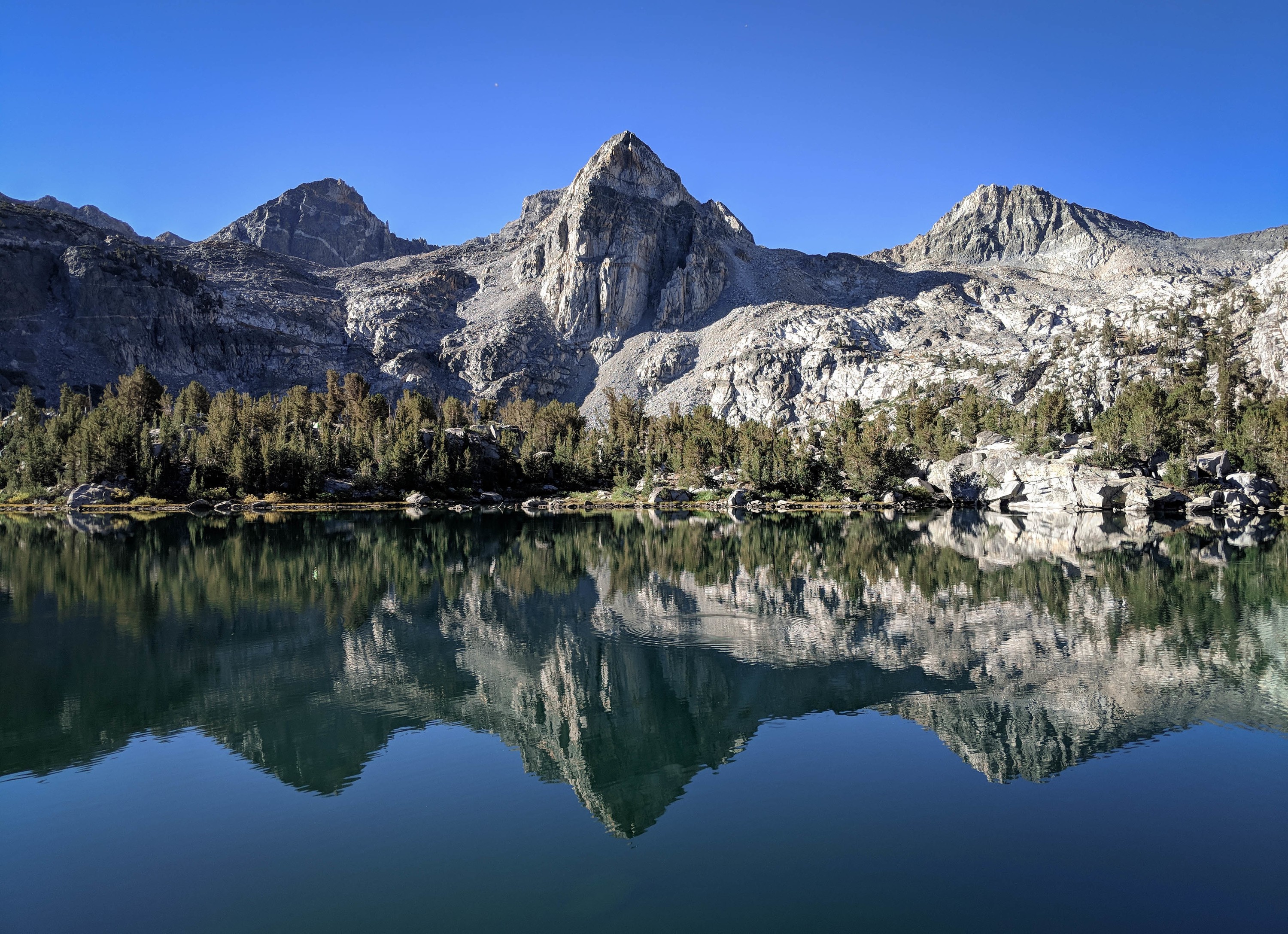
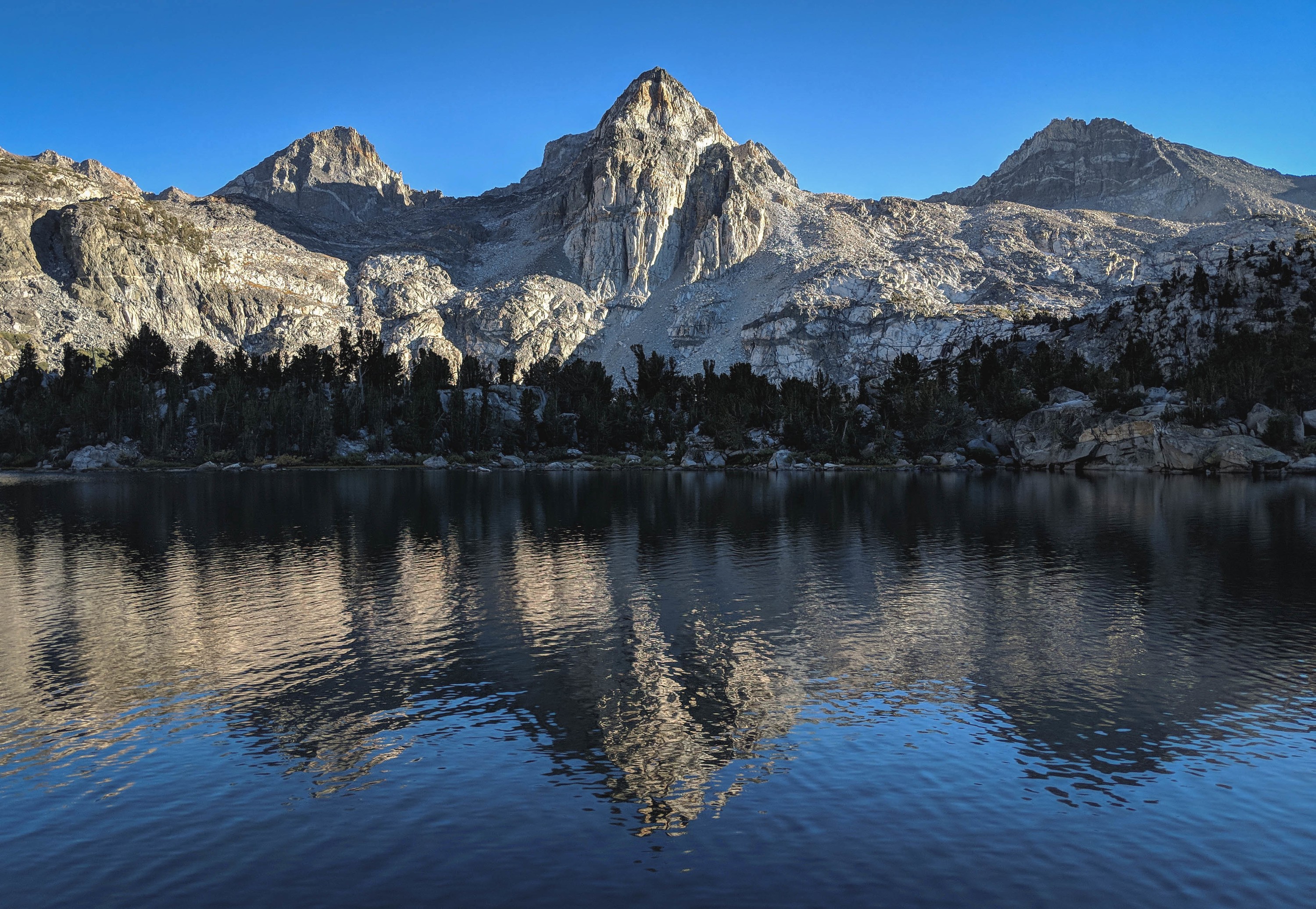
Mid-morning light over Rae Lakes.
Our plan today was to explore the Sixty Lakes Basin. Given our departure time, we figured Mount Cotter was a bit aggressive, but thought Fin Dome might be a good objective.
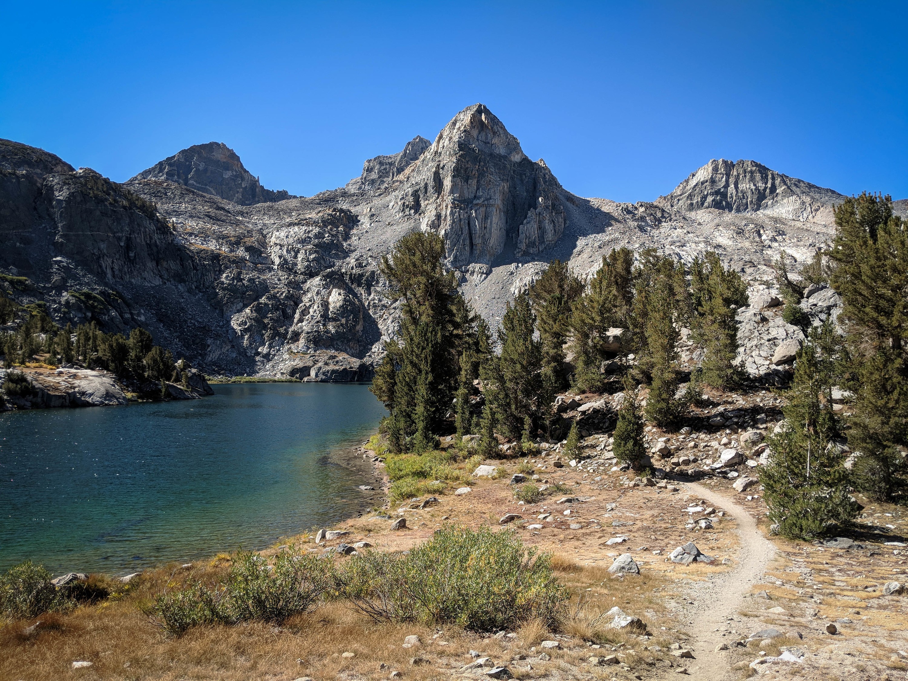
Following the trail around Rae Lakes towards the isthmus. The climb to the divide separating the two basins was uneventful. We stopped and chatted for a bit with a fellow who had camped for two nights in the Sixty Lakes Basin. He said he had seen no one since he left Rae Lakes, an incredible contrast from the busy area just a mile away.
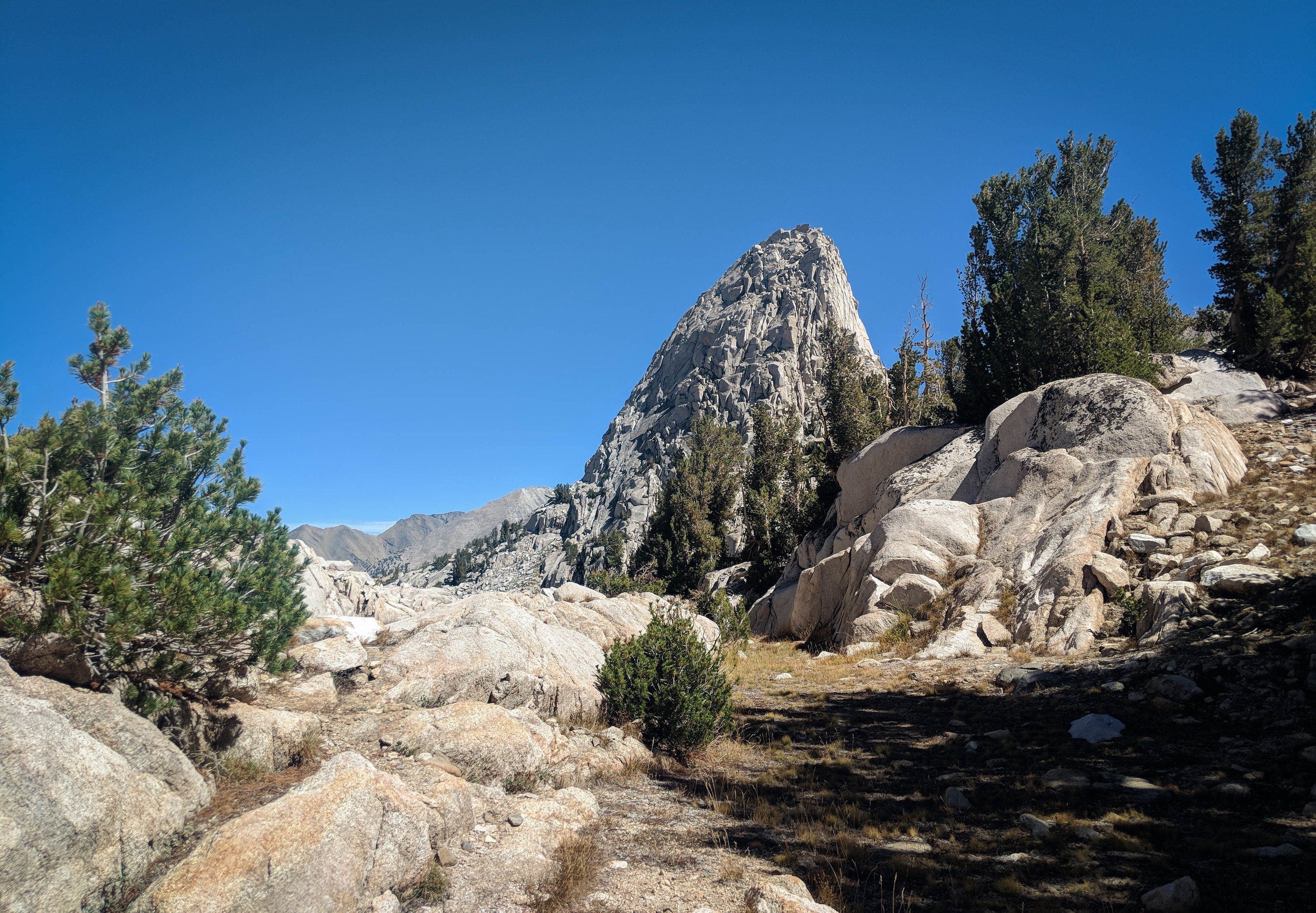
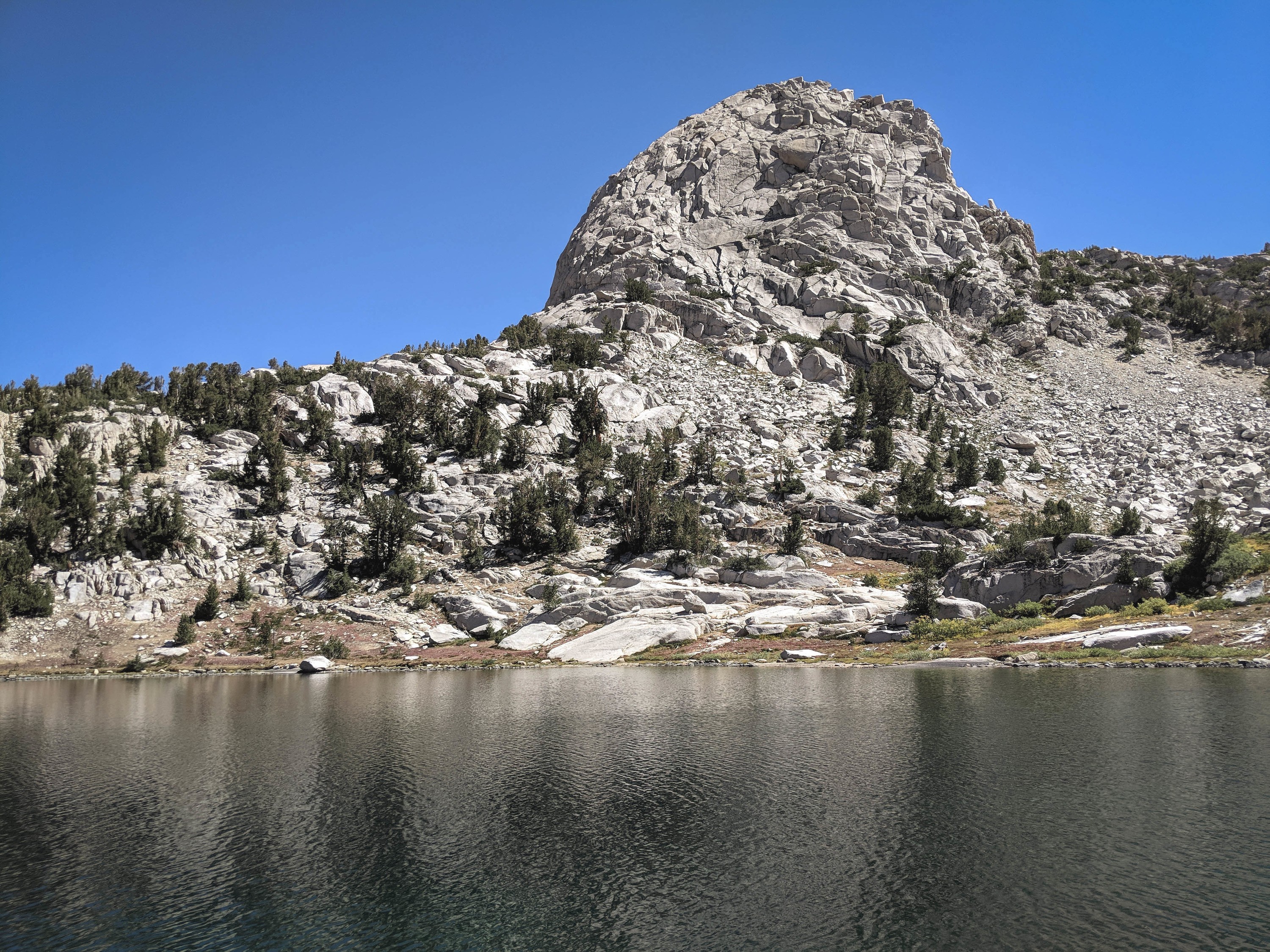
Approaching Fin Dome from the south. Looks steep!
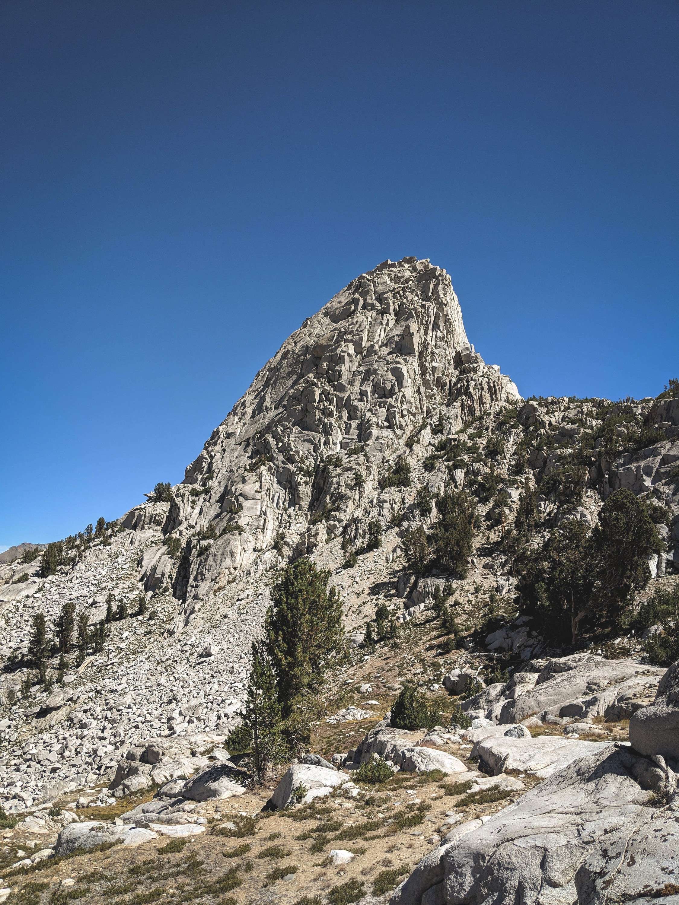
Fin Dome.
We contoured across the talus field to the lowest cliff and began looking for the ledge system described by Secor. But, from our angle below, it looked generally steep and scary. So after a few minutes of searching, we abandoned our goal and opted to just explore the basin instead.
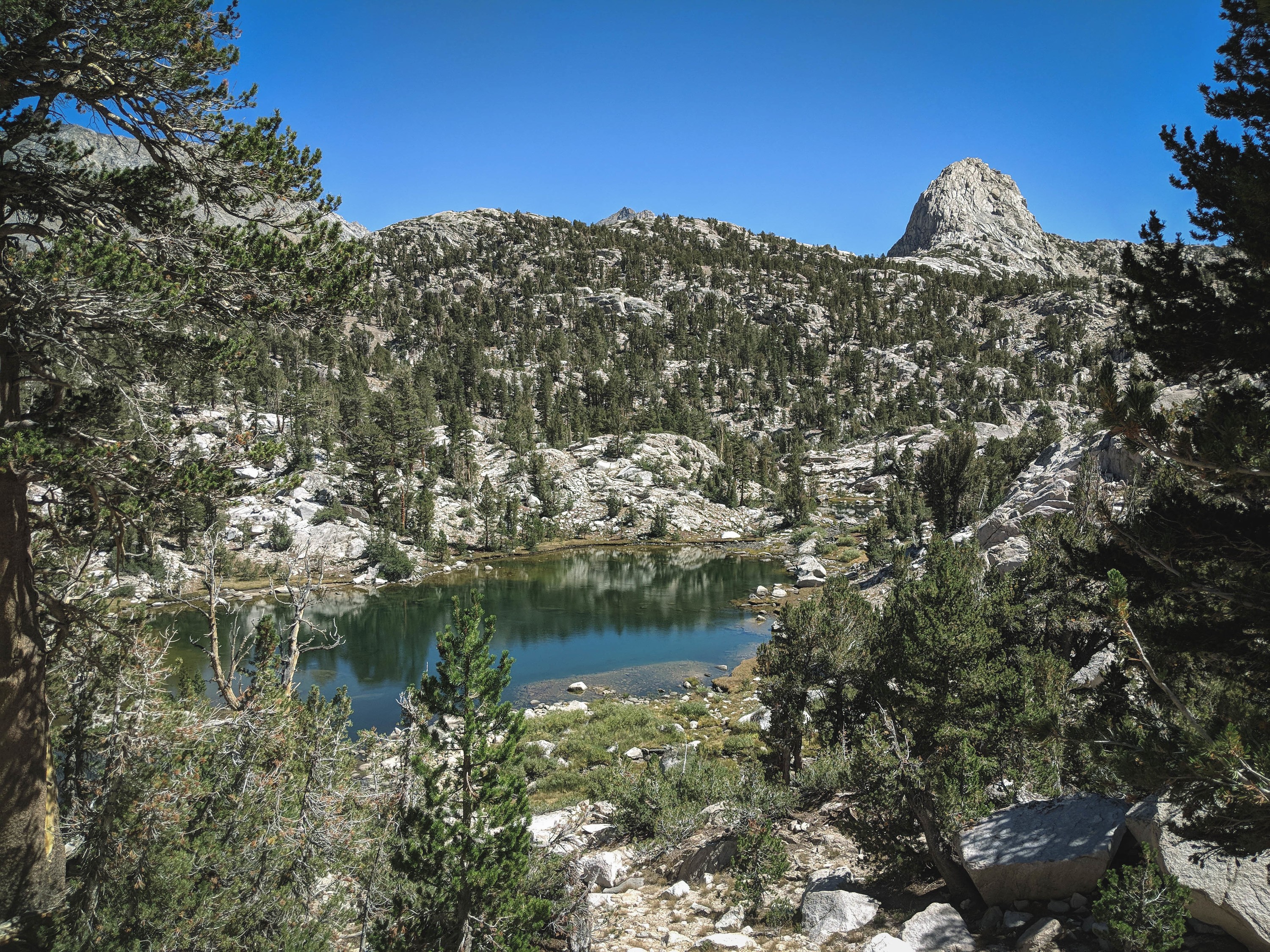
Fin Dome from the lake immediately west.

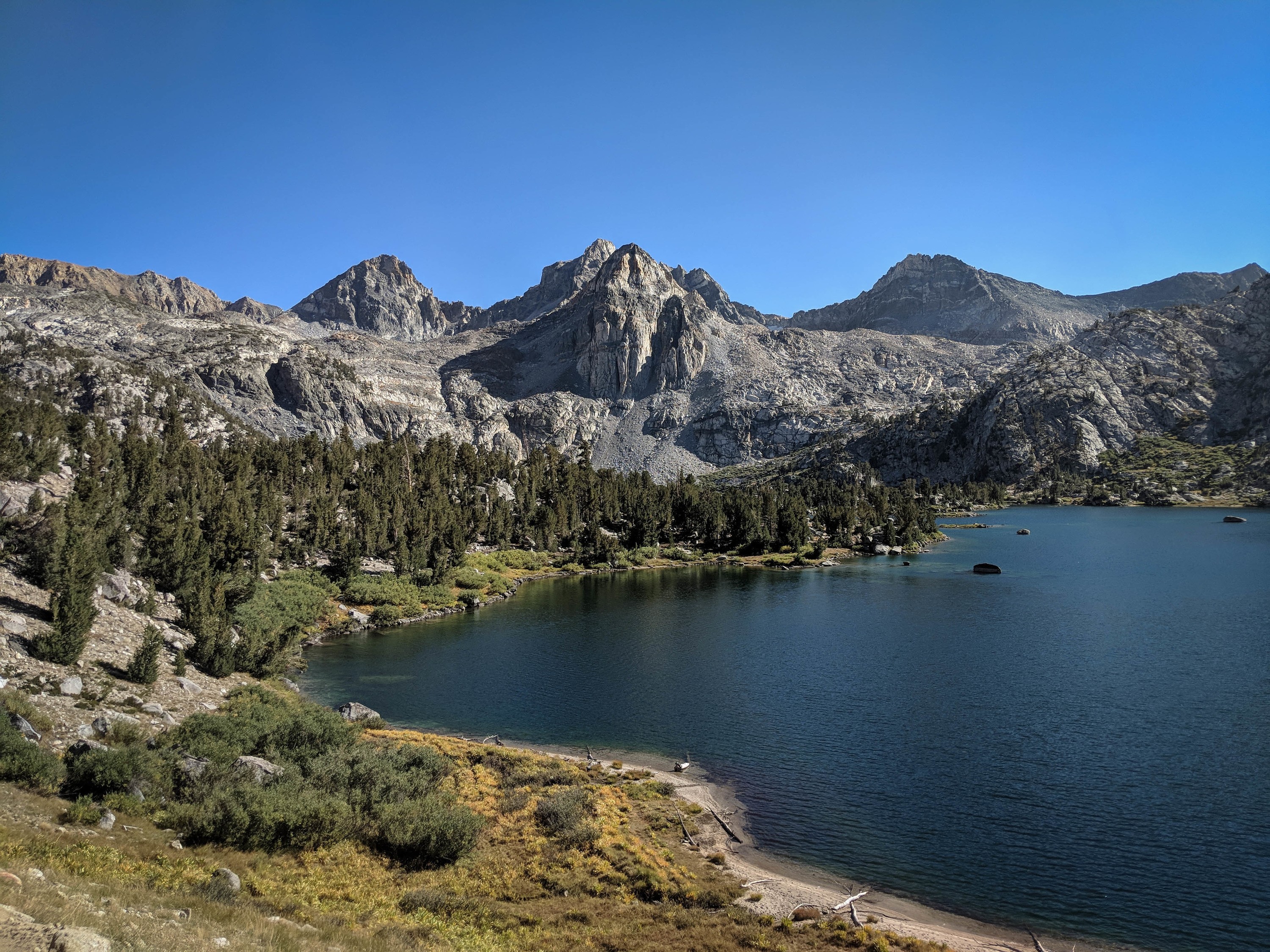
Overlooking one of the larger lakes in the Sixty Lakes area. There was a trail leading generally north through the area, and some signs of people, but we didn’t come across anyone.
Looking back south towards Fin Dome.

Mount Clarence King.
We decided to make a loop of our hike, traversing the cross country pass in the north end of the basin towards Arrowhead Lake. The pass wasn’t too difficult, but there was a short downclimb, a bit of bushwhacking, and some forested route finding.
Eventually we found our way back to Rae Lakes, enjoyed a dip, and moved on to get a picture from the high peninsula near the ranger station.
Sunset light above Rae Lakes after a great day.