The wind picked up a bit in the night, and the small stands of pine trees around us made a racket, so we didn’t sleep well. It was also a bit colder than the night before, which may have been the higher elevation, we were camped at about 11,500’ as opposed to 10,000’ the night before. But the scenery more than made up for the mild discomfort.
Sunrise over the Great Western Divide.
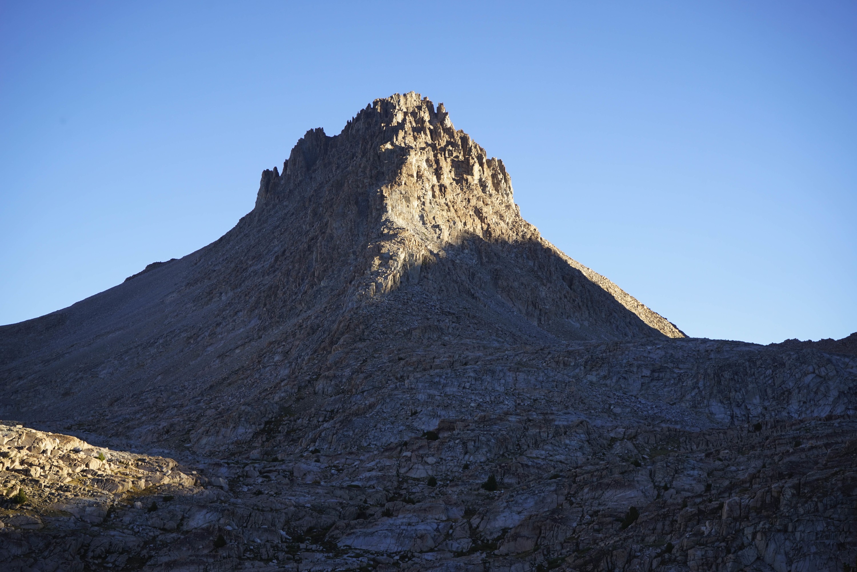
Morning light on Mount Ericsson.
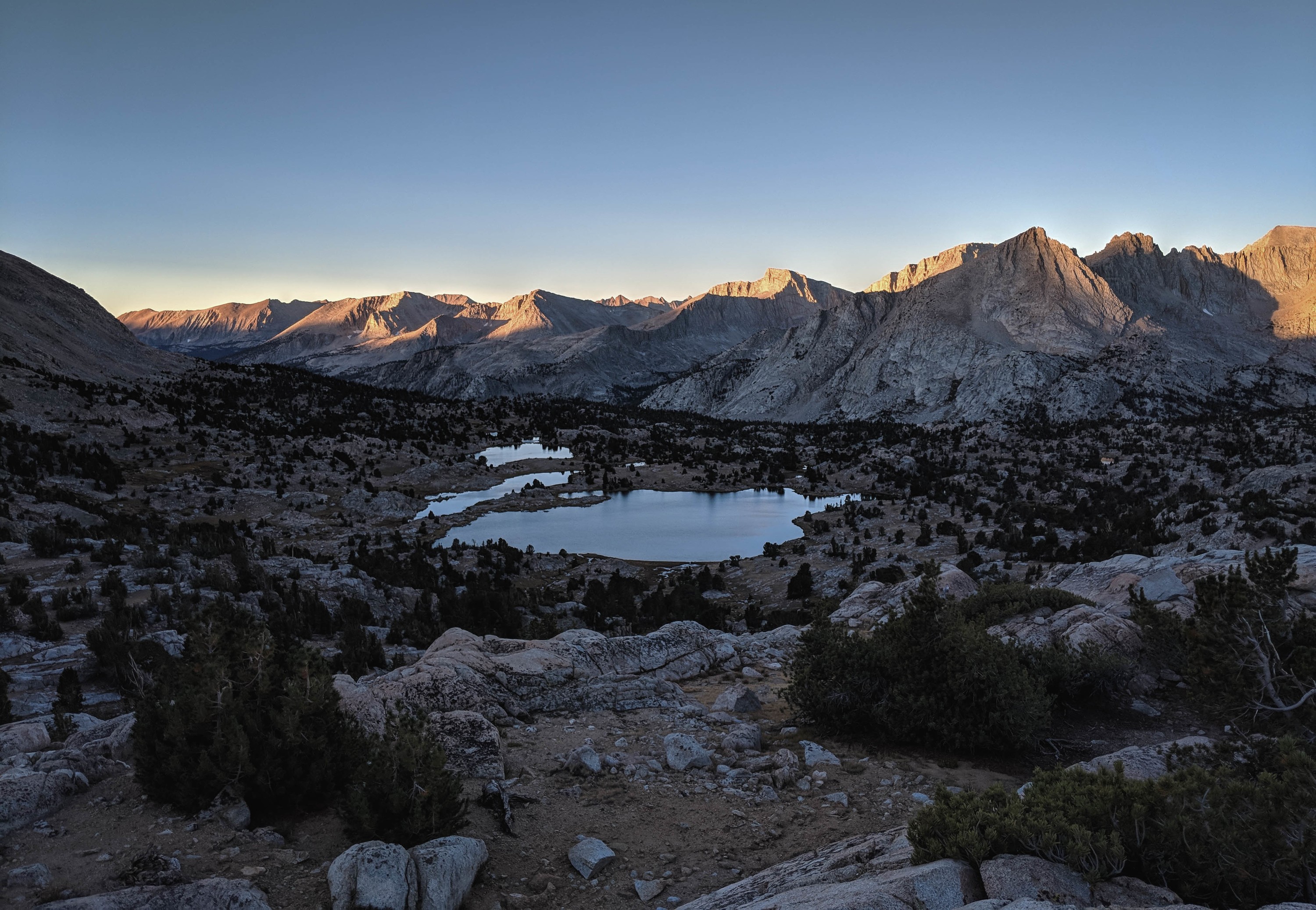
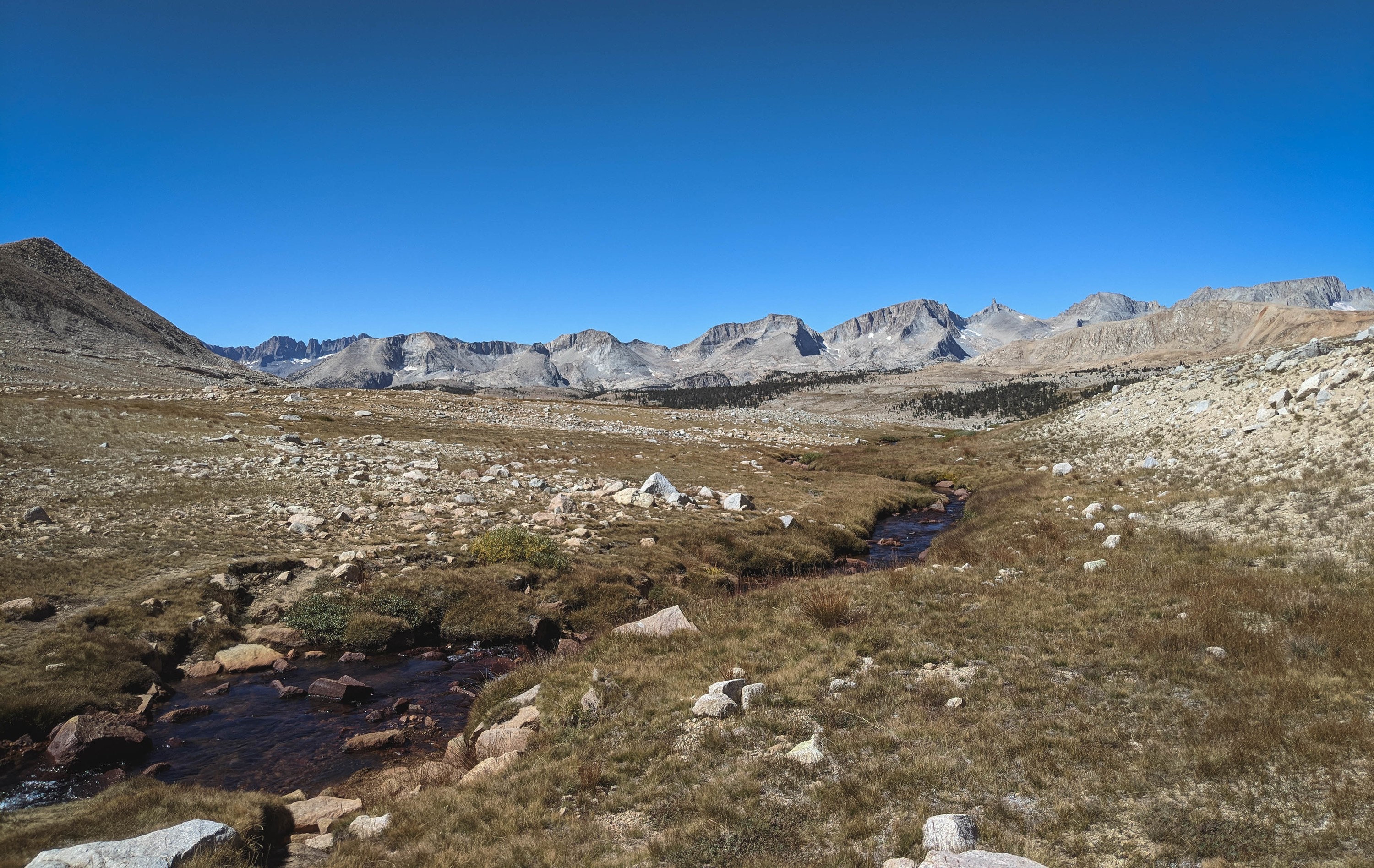
Daybreak over the Upper Kern Basin.
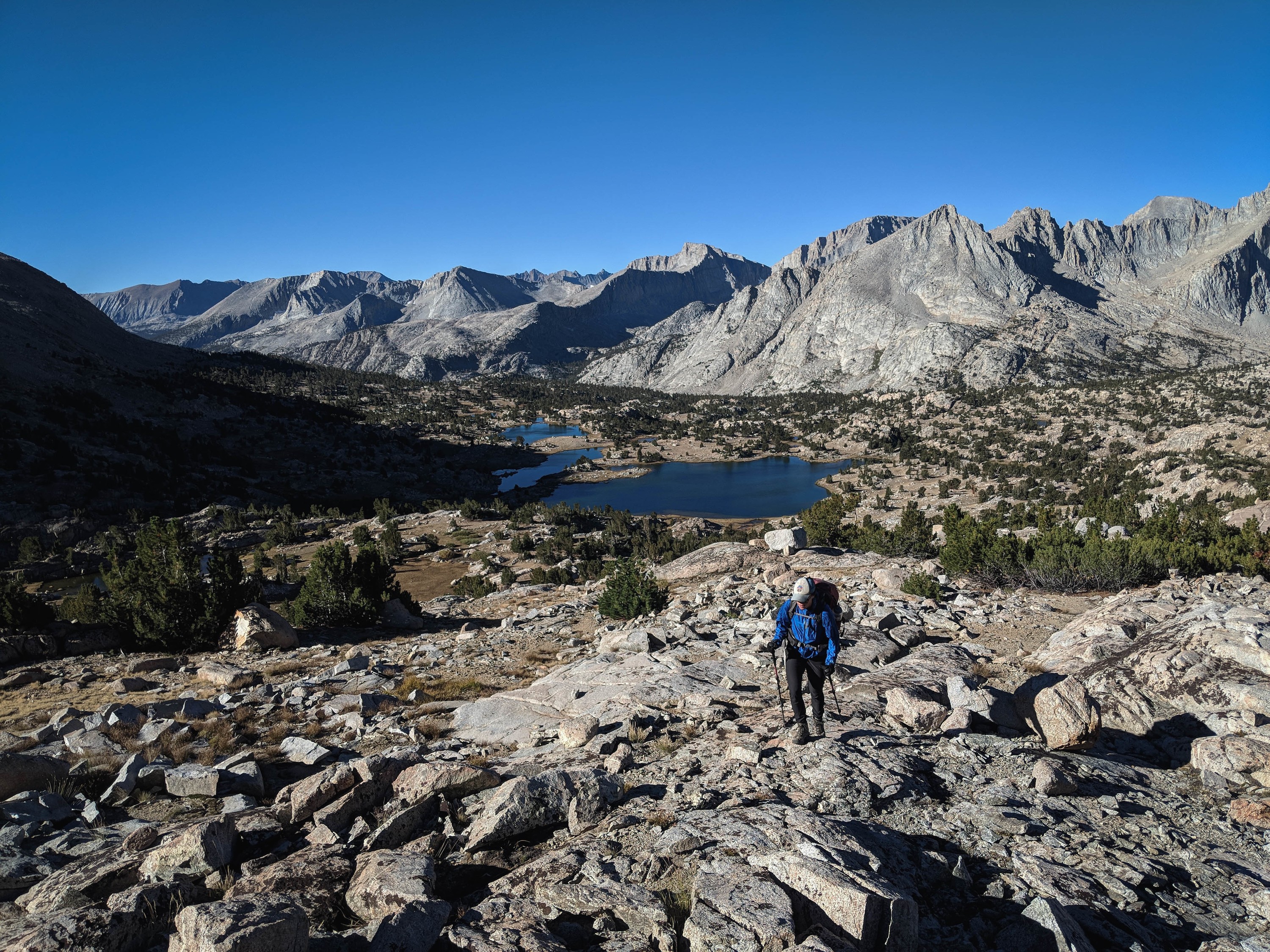
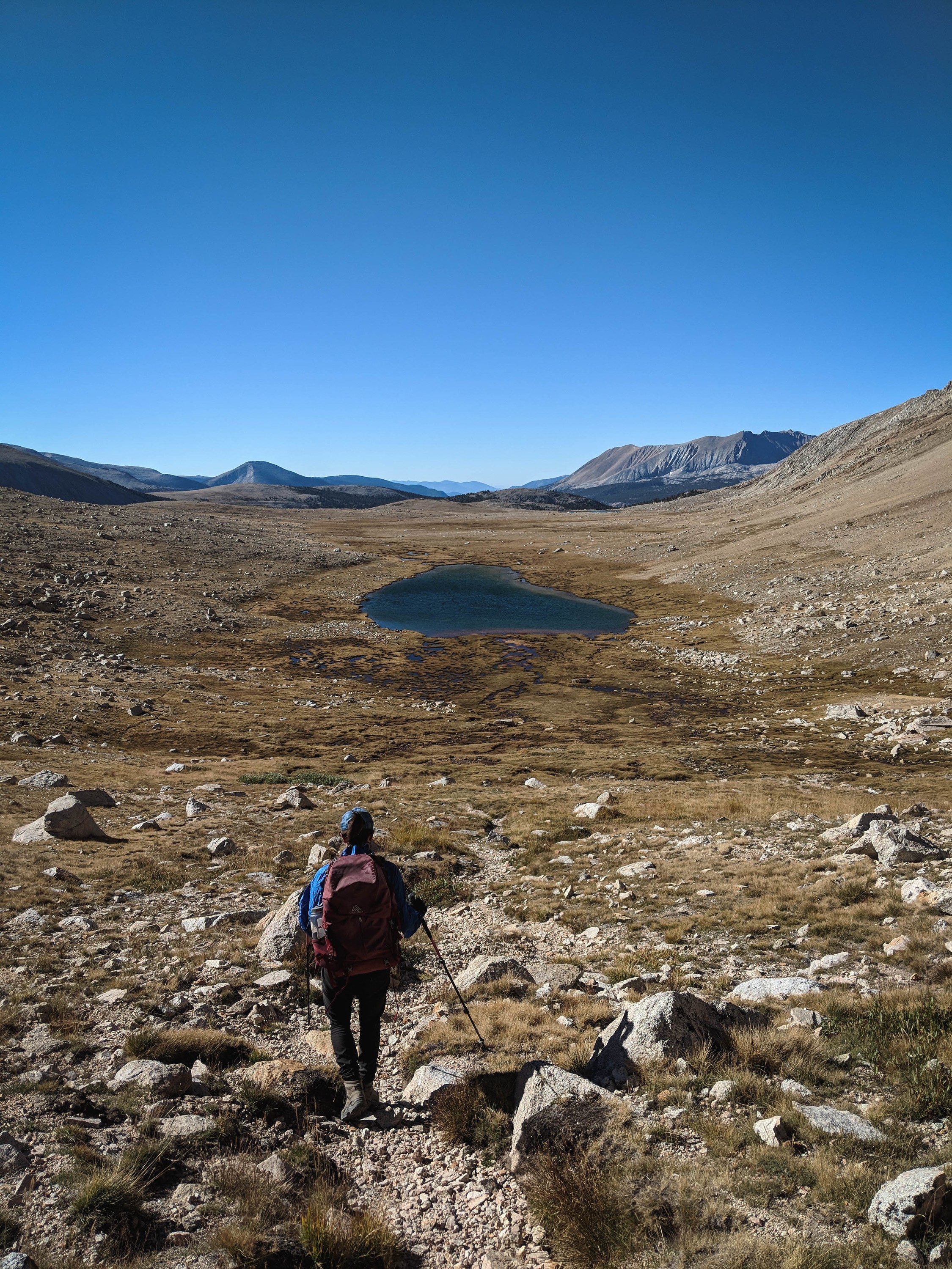
Onward, to Shepherd Pass!
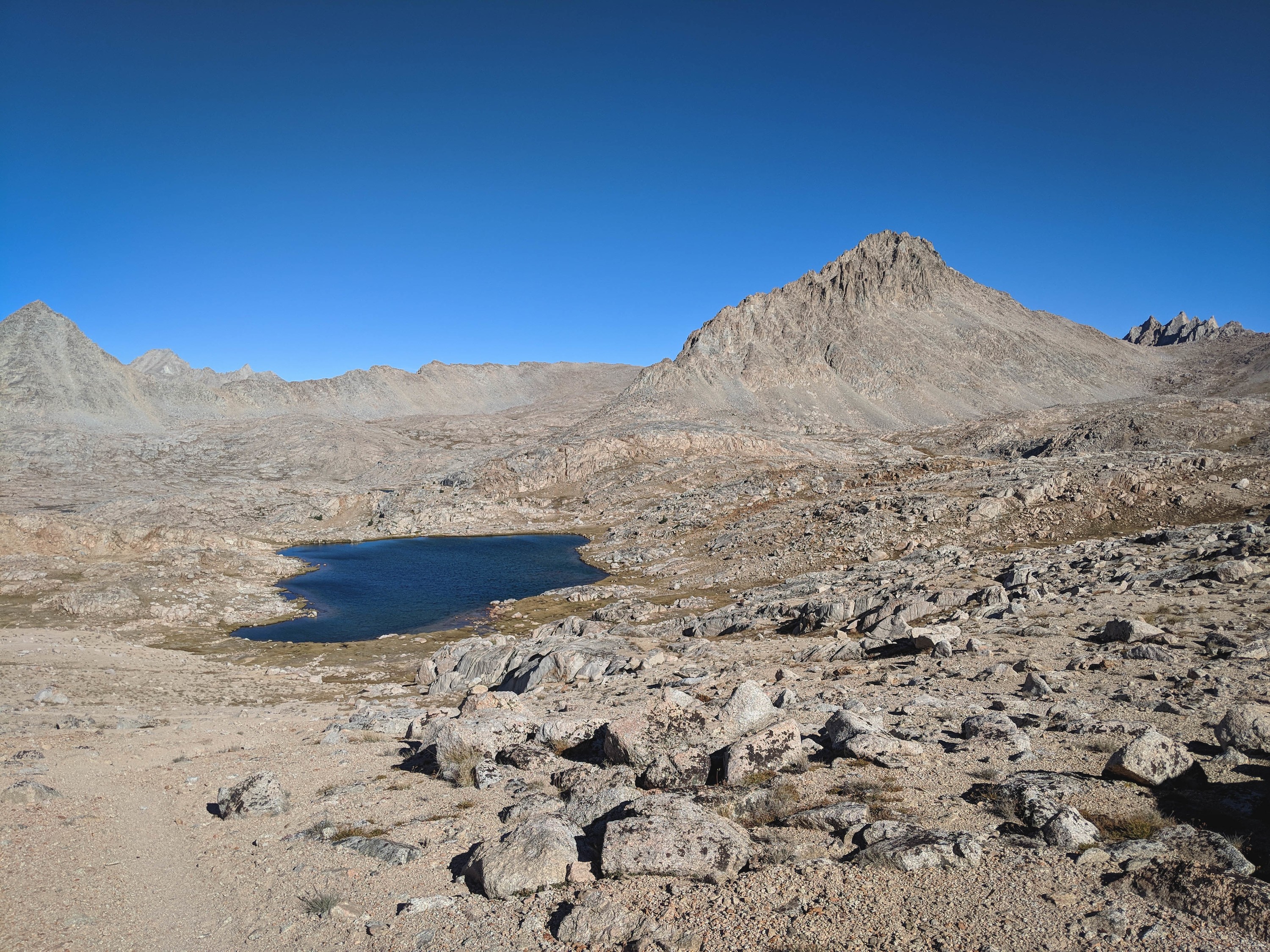
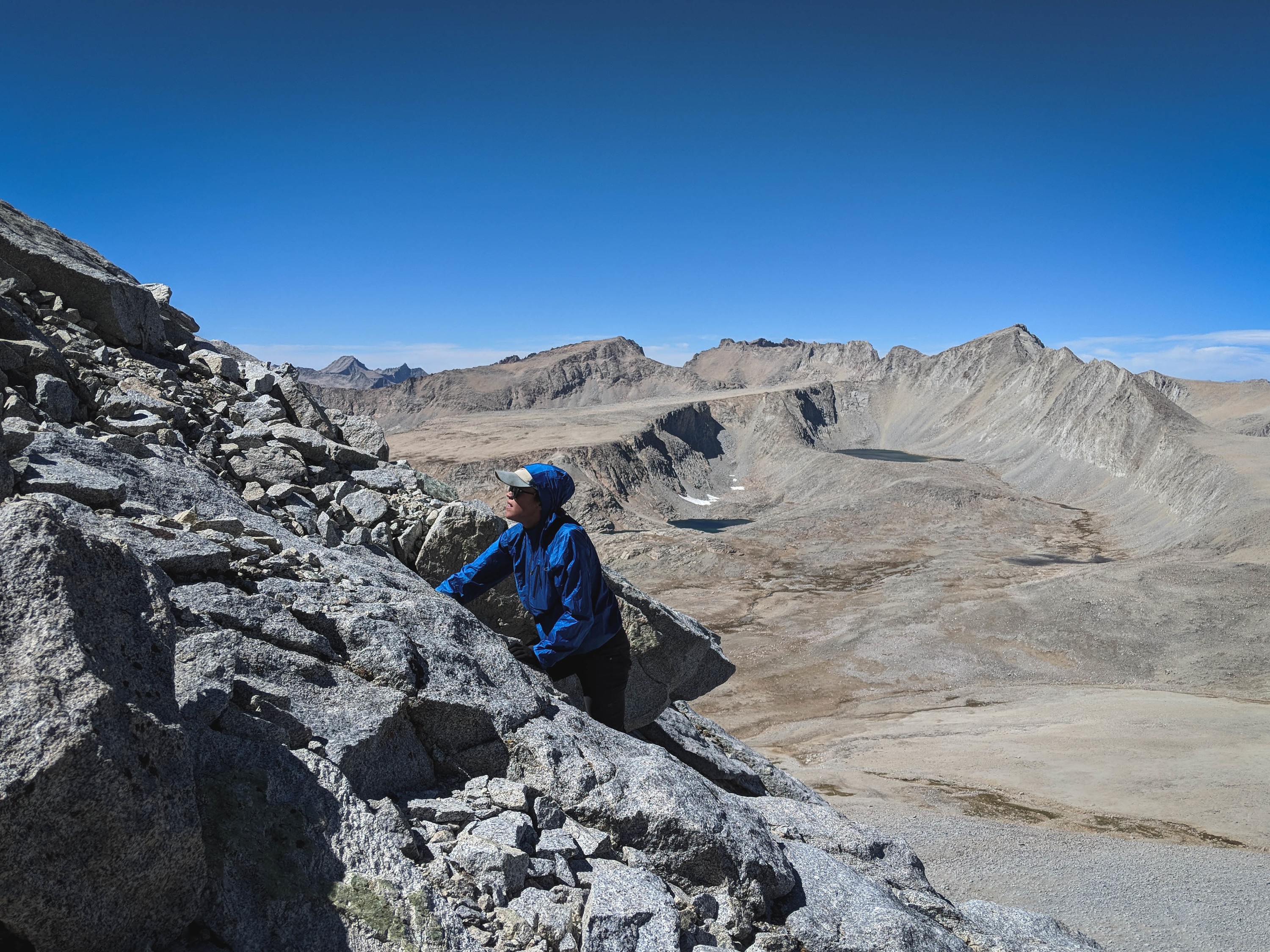
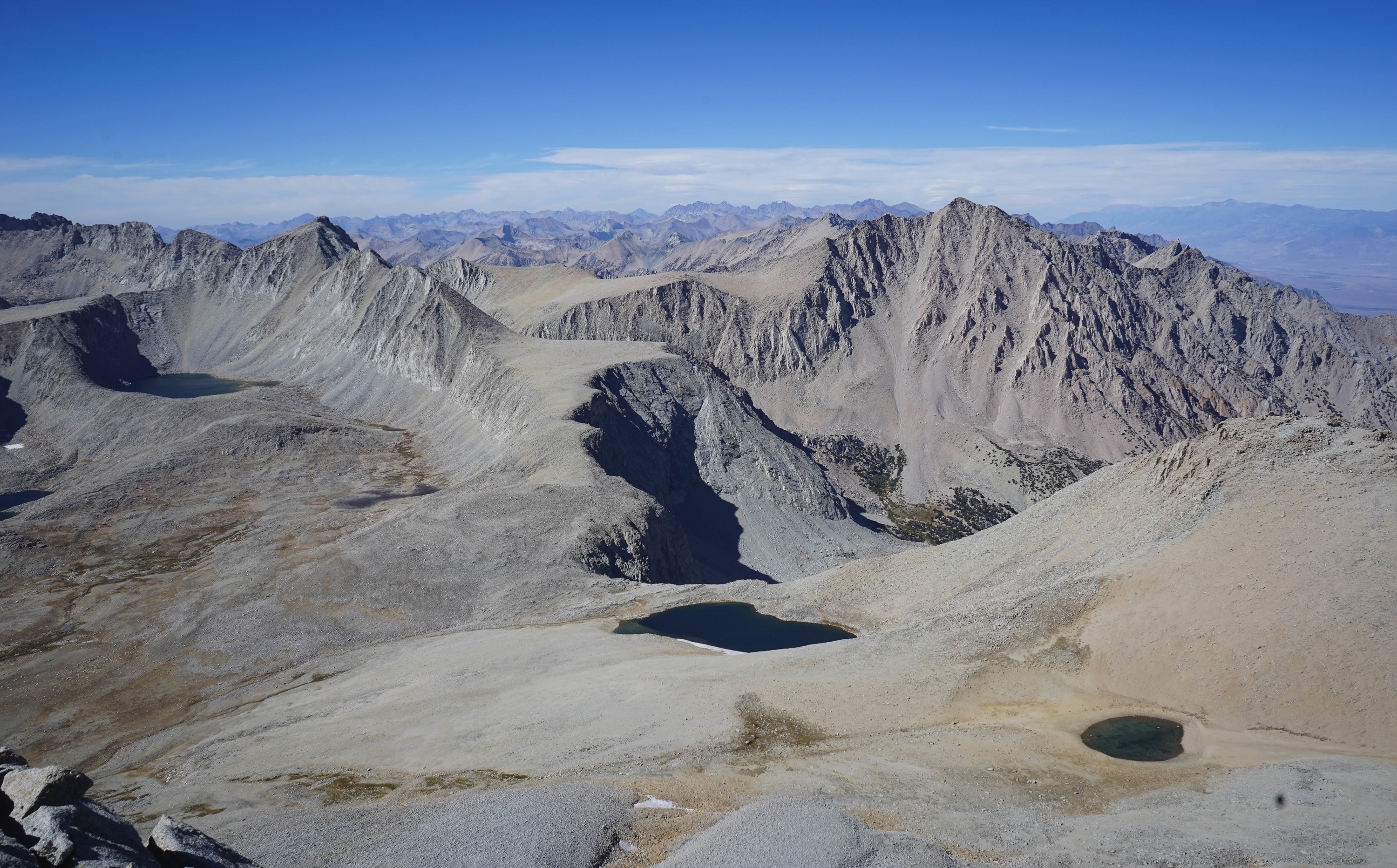
Looking north towards the tarn below Lake South America, and Mount Ericsson. Milly’s Foot Pass is visible on the ridge at left.
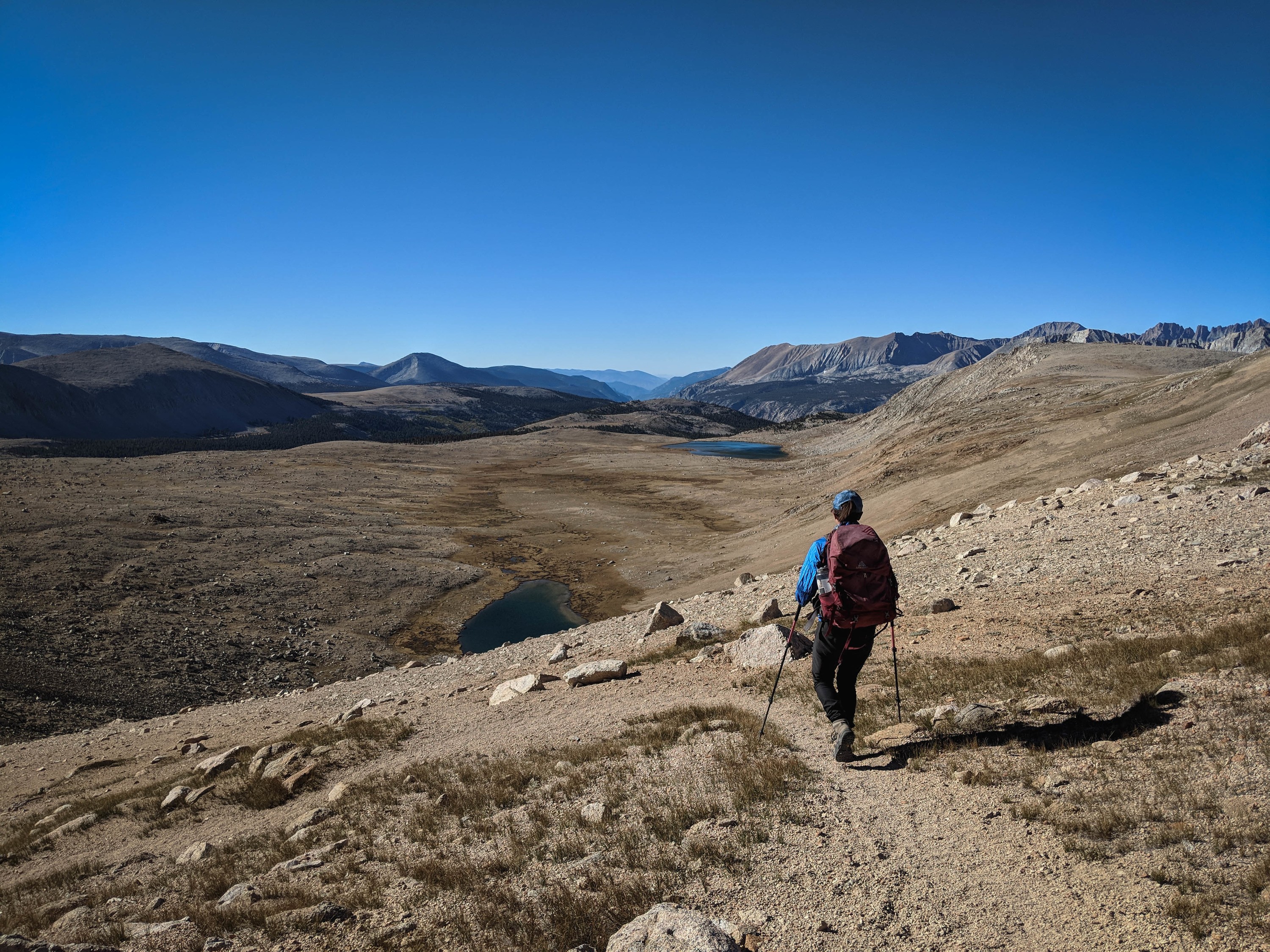
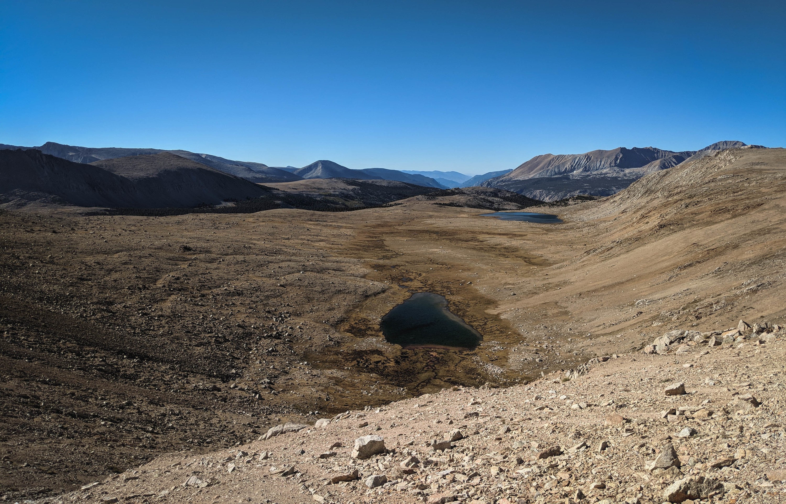
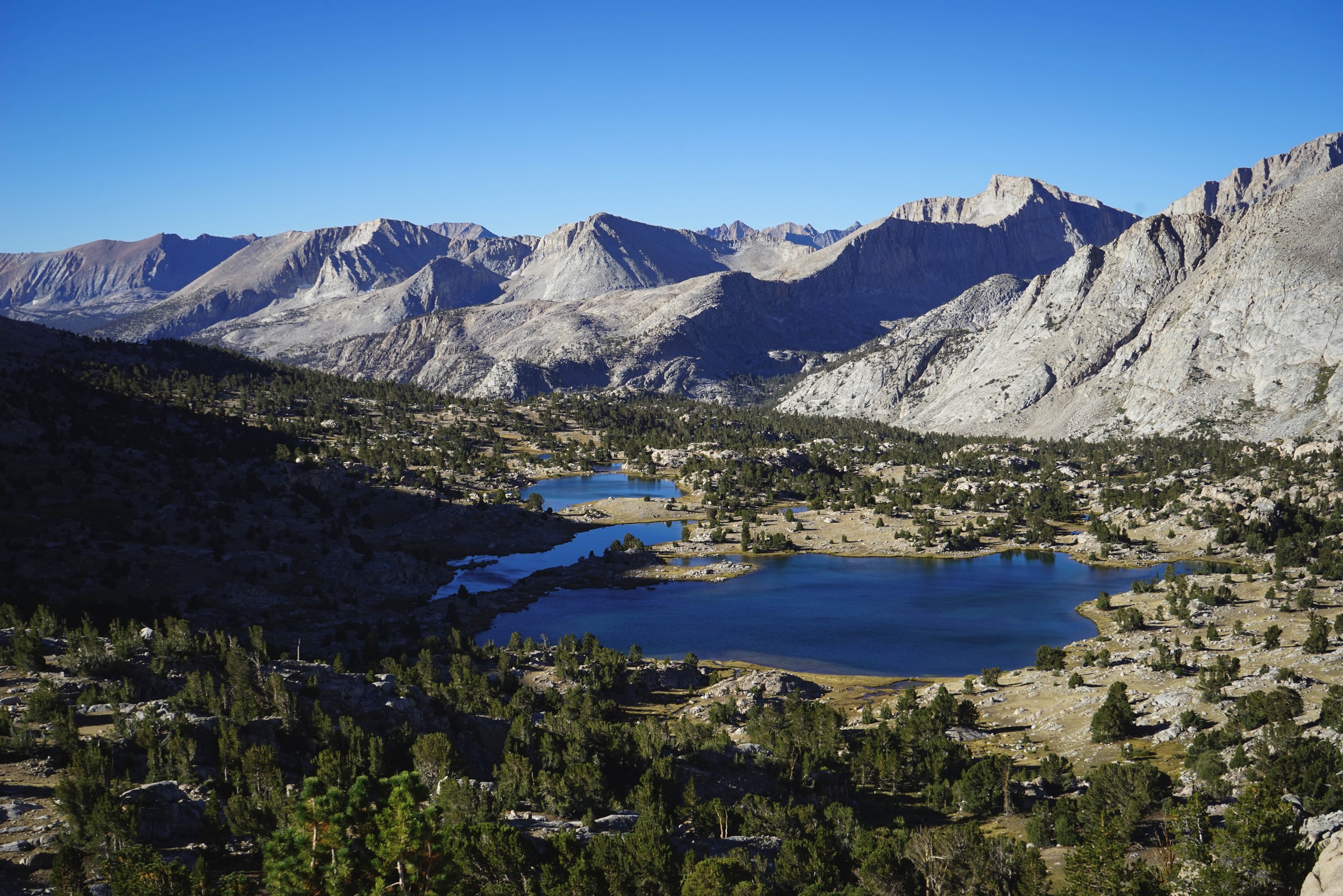
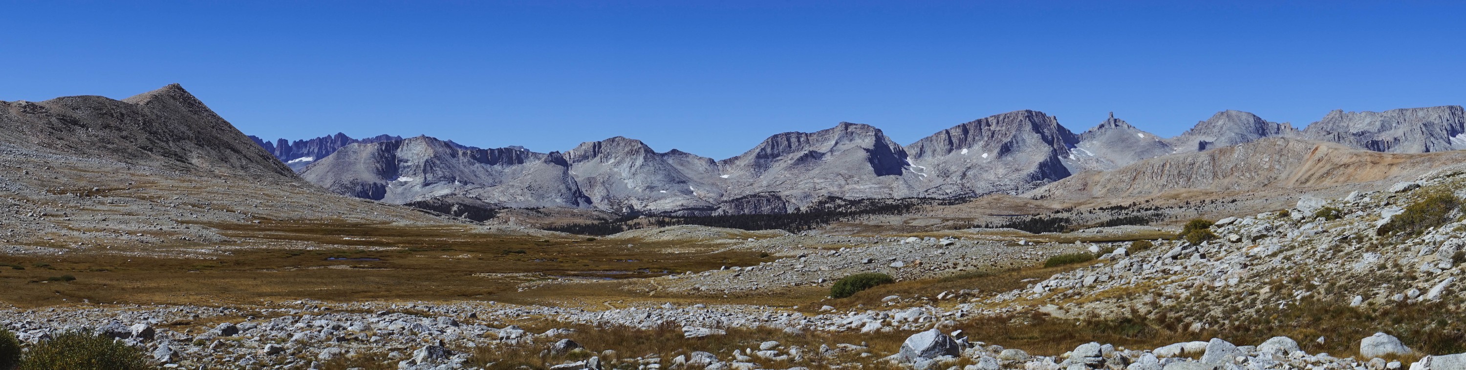
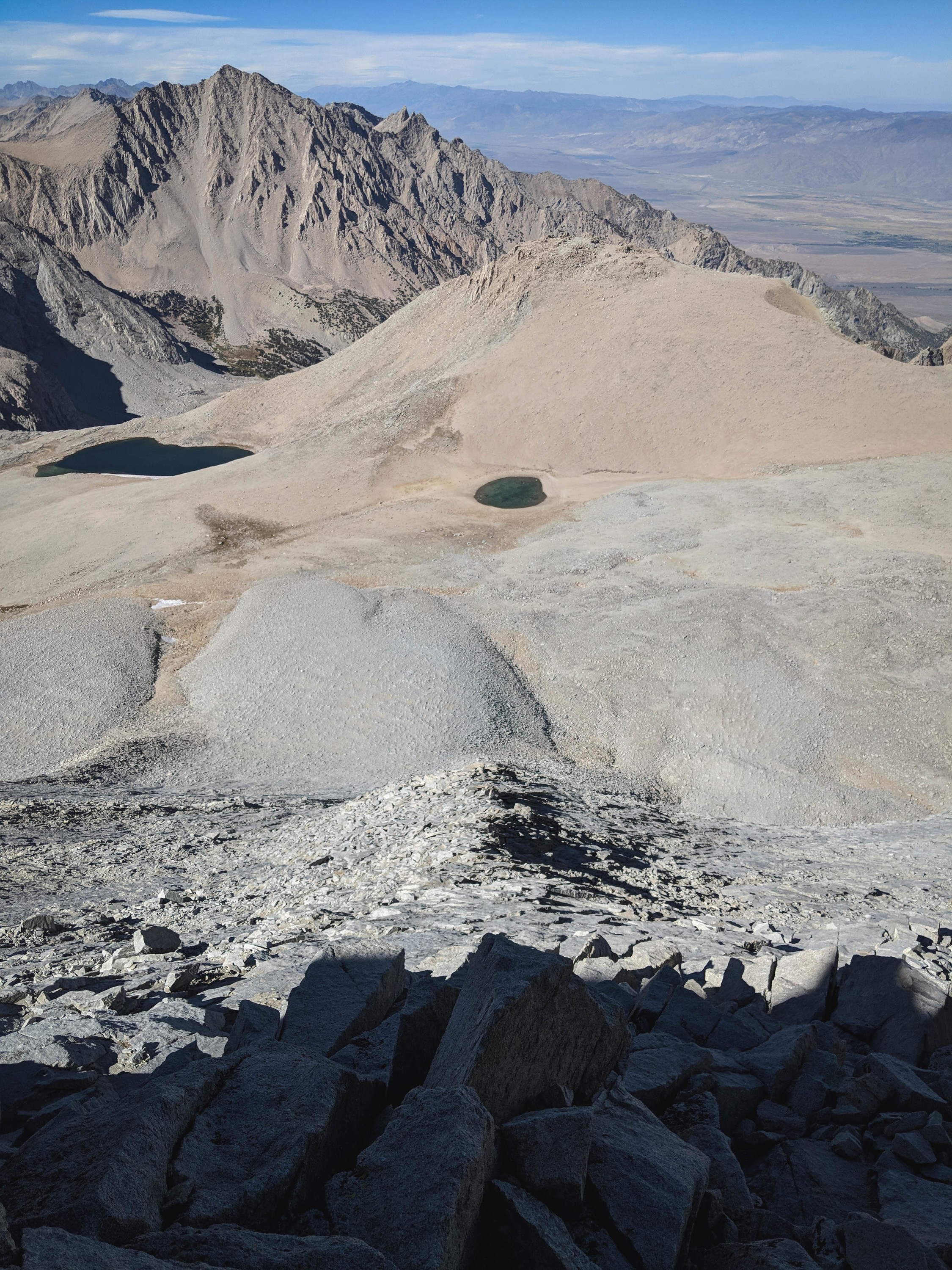
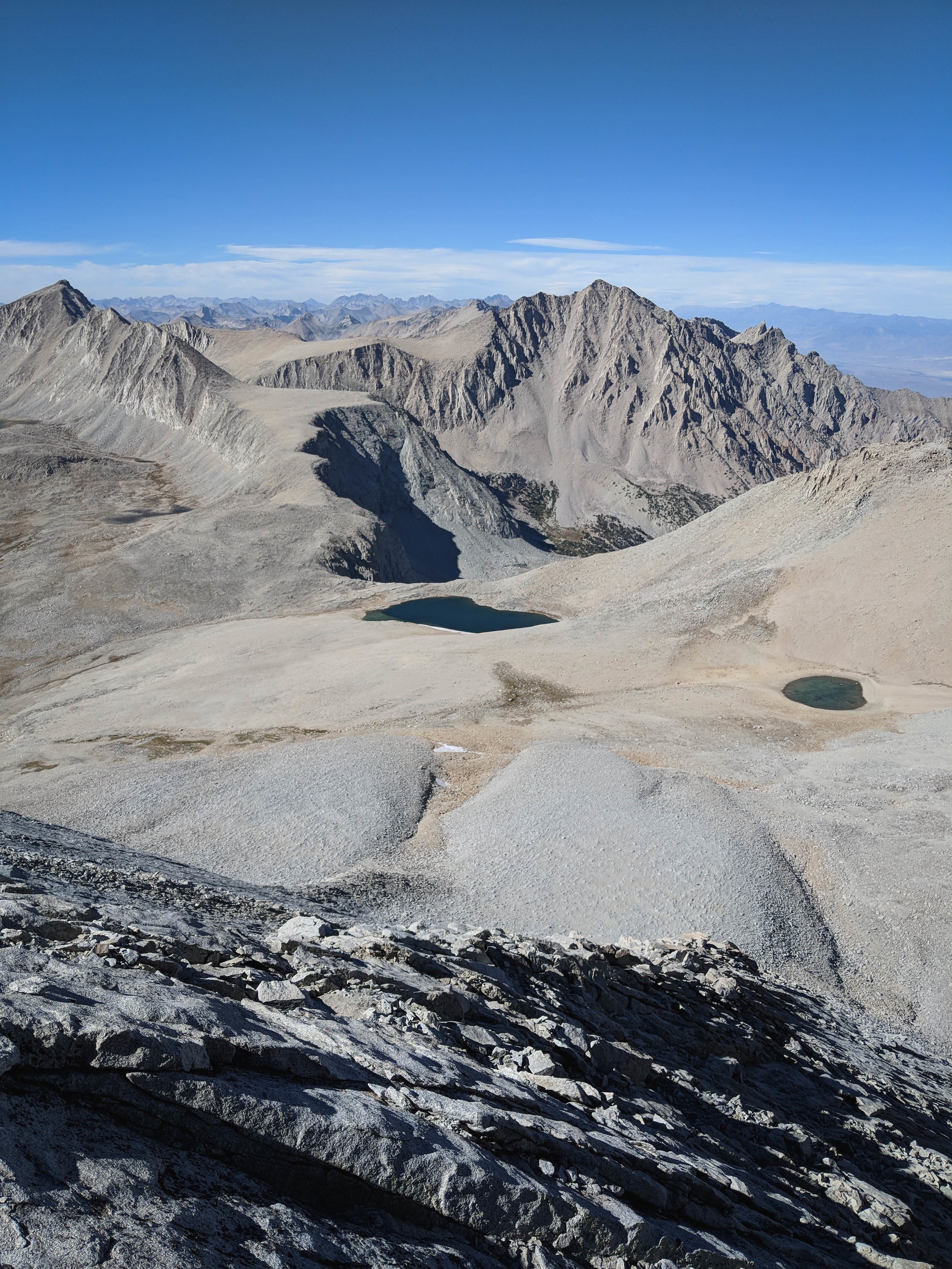
After crossing the low pass, we dropped to another high plateau above Tyndall Creek.
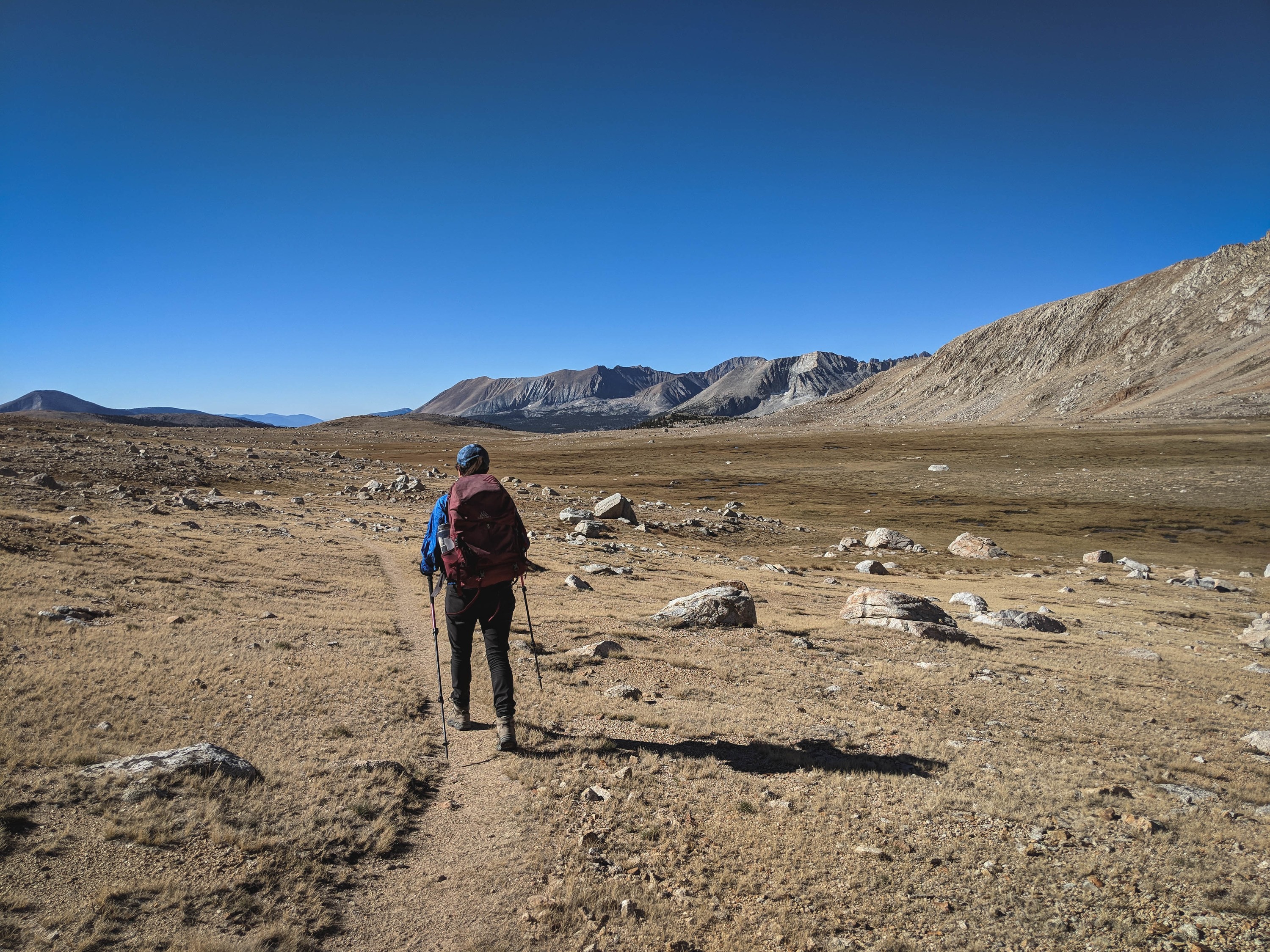
Looking back at the Great Western Divide from somewhere near Shepherd Pass.
After a relatively uneventful hike from our campsite the night before, we reached Shepherd Pass in early afternoon. The wind had picked up some more by this time, so we found the most sheltered campsite available, behind a large boulder north of the tarn nearest the pass, and rested for a lunch. Besides the wind, the weather was otherwise good, so we figured we would climb Mount Tyndall, and decide later whether we would camp atop the pass and attempt Williamson in the morning, or descend Shepherd Pass for the relative shelter of The Pothole.
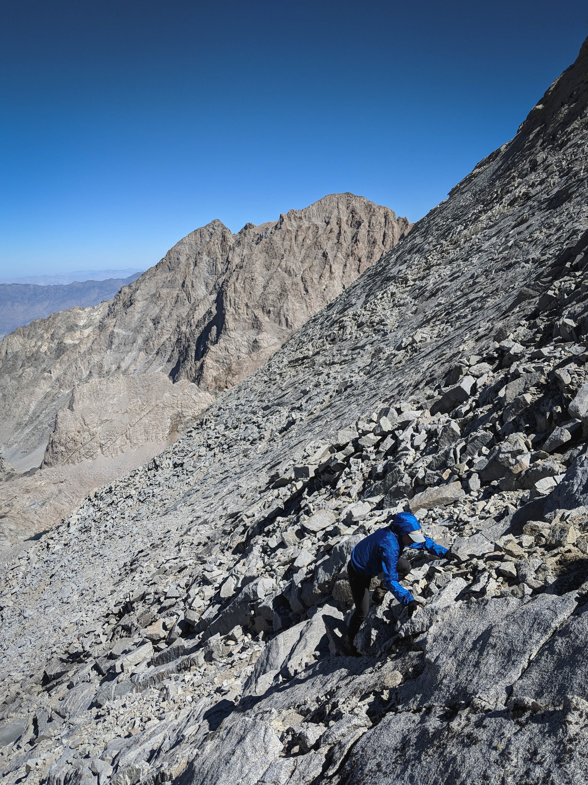
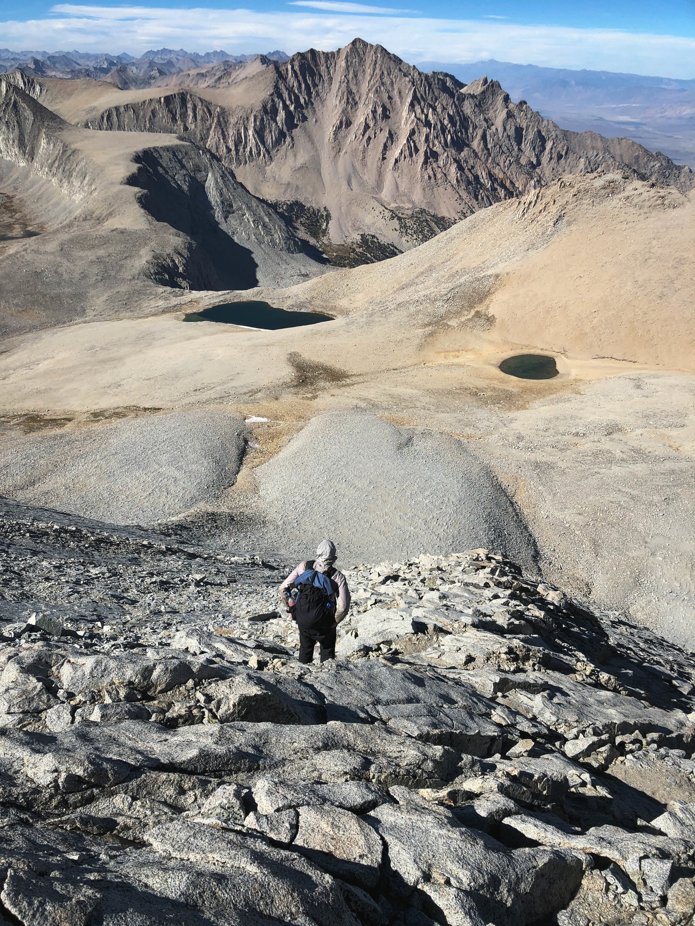
Partway up the North Rib of Mount Tyndall.
This route, the North Rib of Mount Tyndall, is supposed to be one of the finest class 3 routes in the Sierra. It really did deliver, with 1,000’ of exceptional slab climbing.
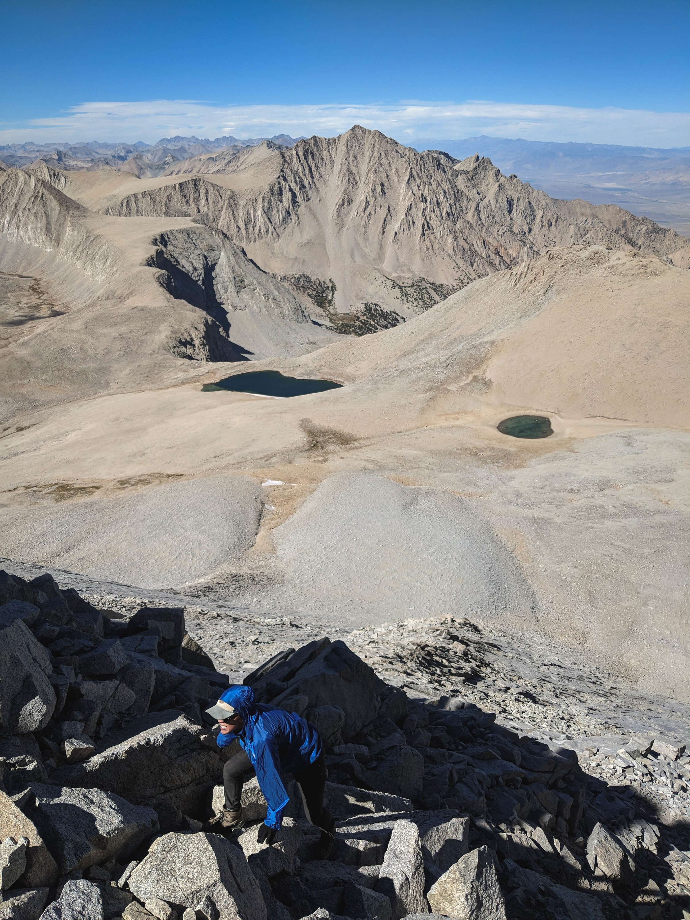
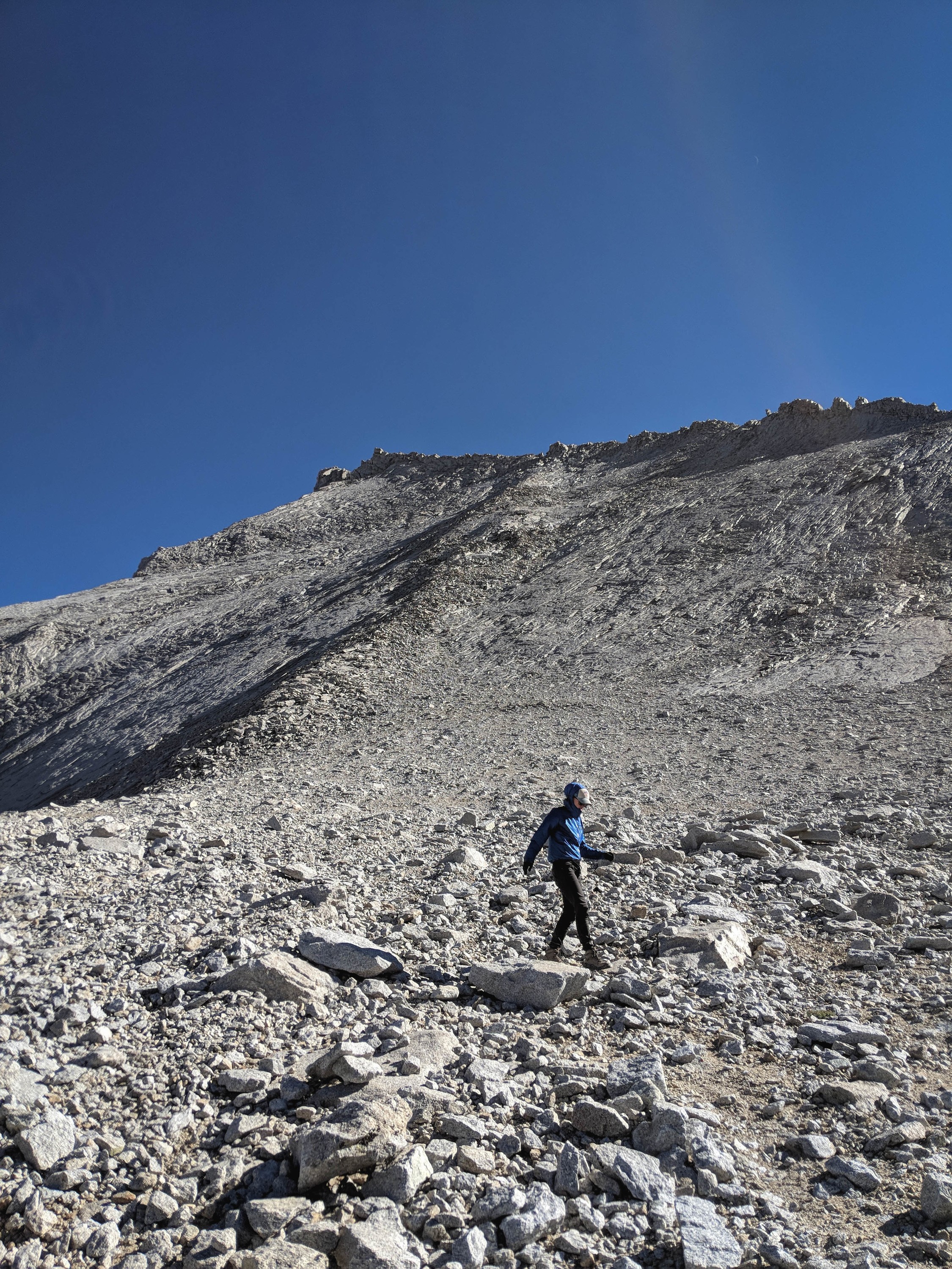
Shannon scrambling up talus on the North Rib.
On our way up, we trended slightly right, as the rock was a bit more solid.
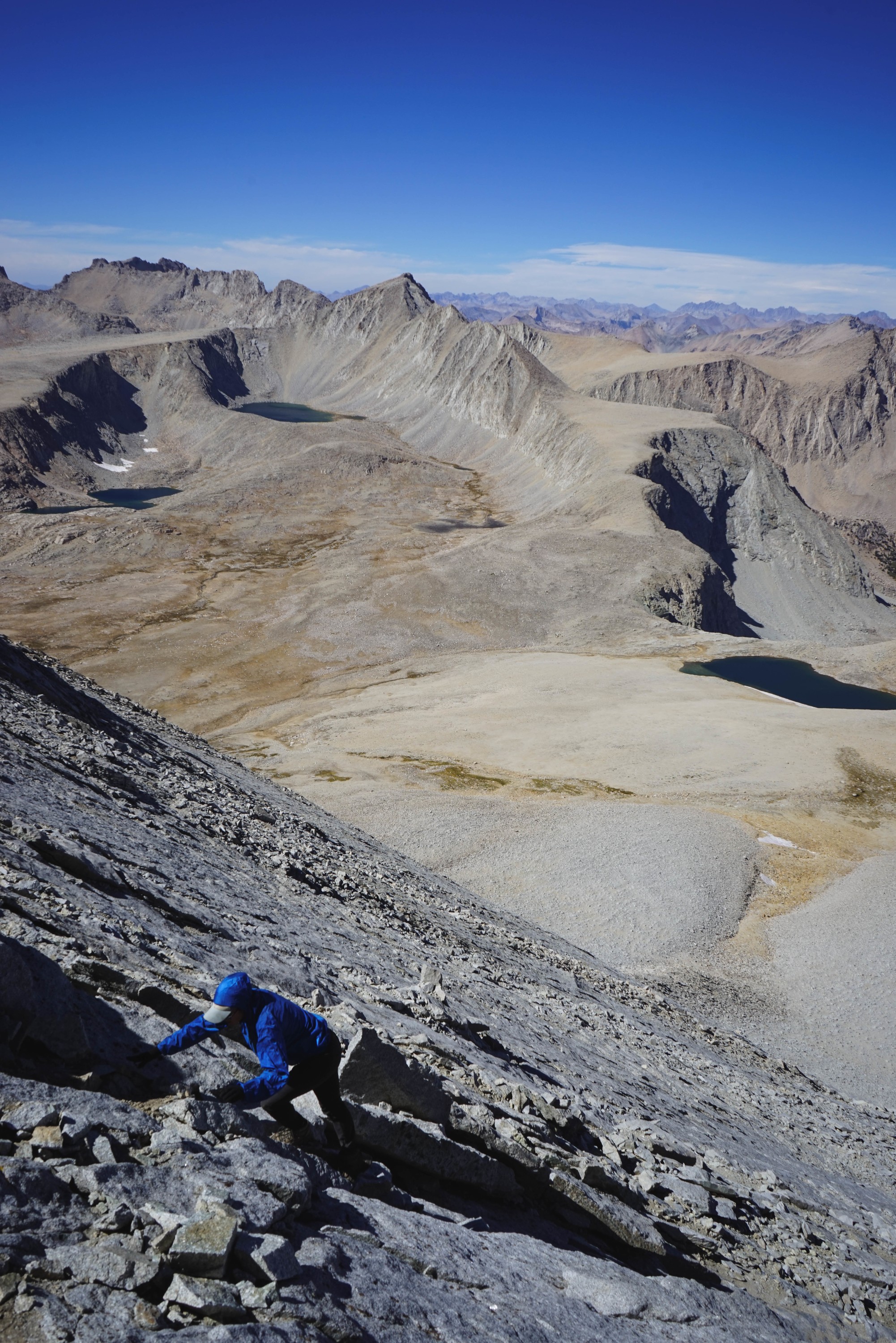
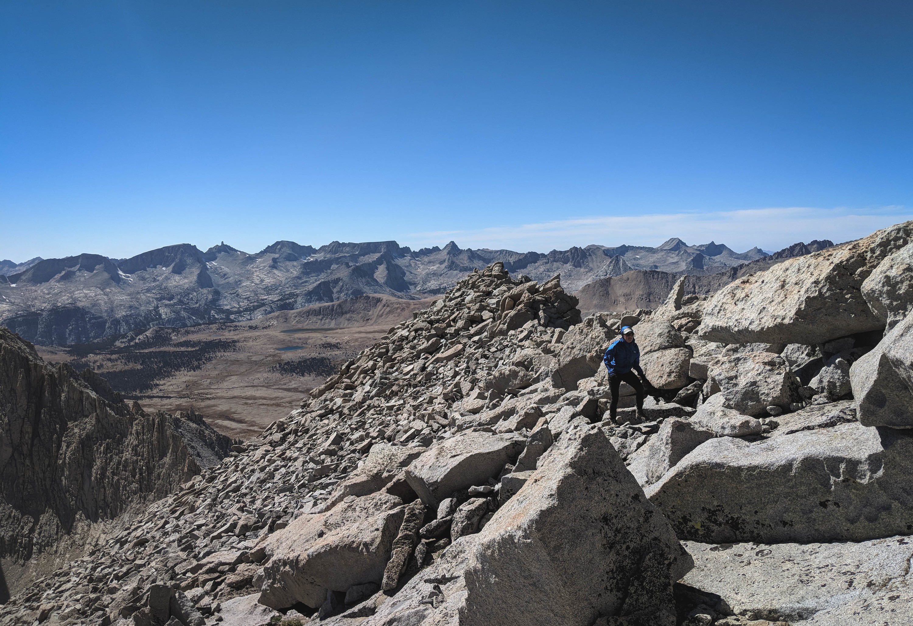
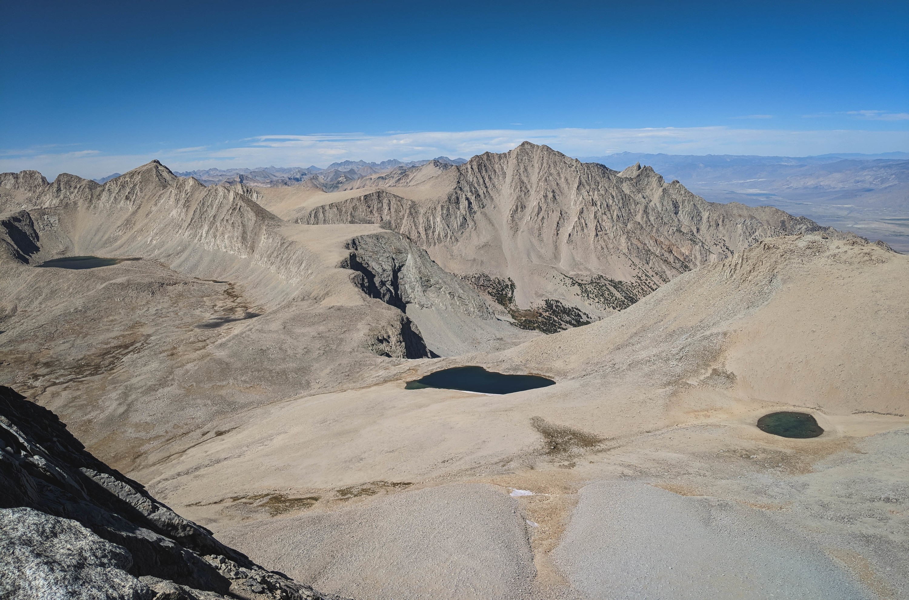
As we got higher, the views to the north opened up. Even the Palisades poked their heads out. Mount Sill is the round-topped mountain on the horizon.
Shannon scrambling up, with the full North Rib (and talus fan) below.
The summit ridge. We made a slight navigational error on our ascent. Because we had trended right on the more stable slabs, we followed a band of talus that leaves the North Rib, forming a Y-shape, with the primary route on the left, and our route on the right. This arm is vaguely visible in pictures, and obvious in retrospect. When we reached the top of the ridge, we found a large, imposing gendarme, which was much more difficult than advertised. So we had to drop back below the ridge, and traverse across relatively difficult slabs for a few hundred feet to meet the true end of the rib. If you climb this route, keep our routefinding error in mind.
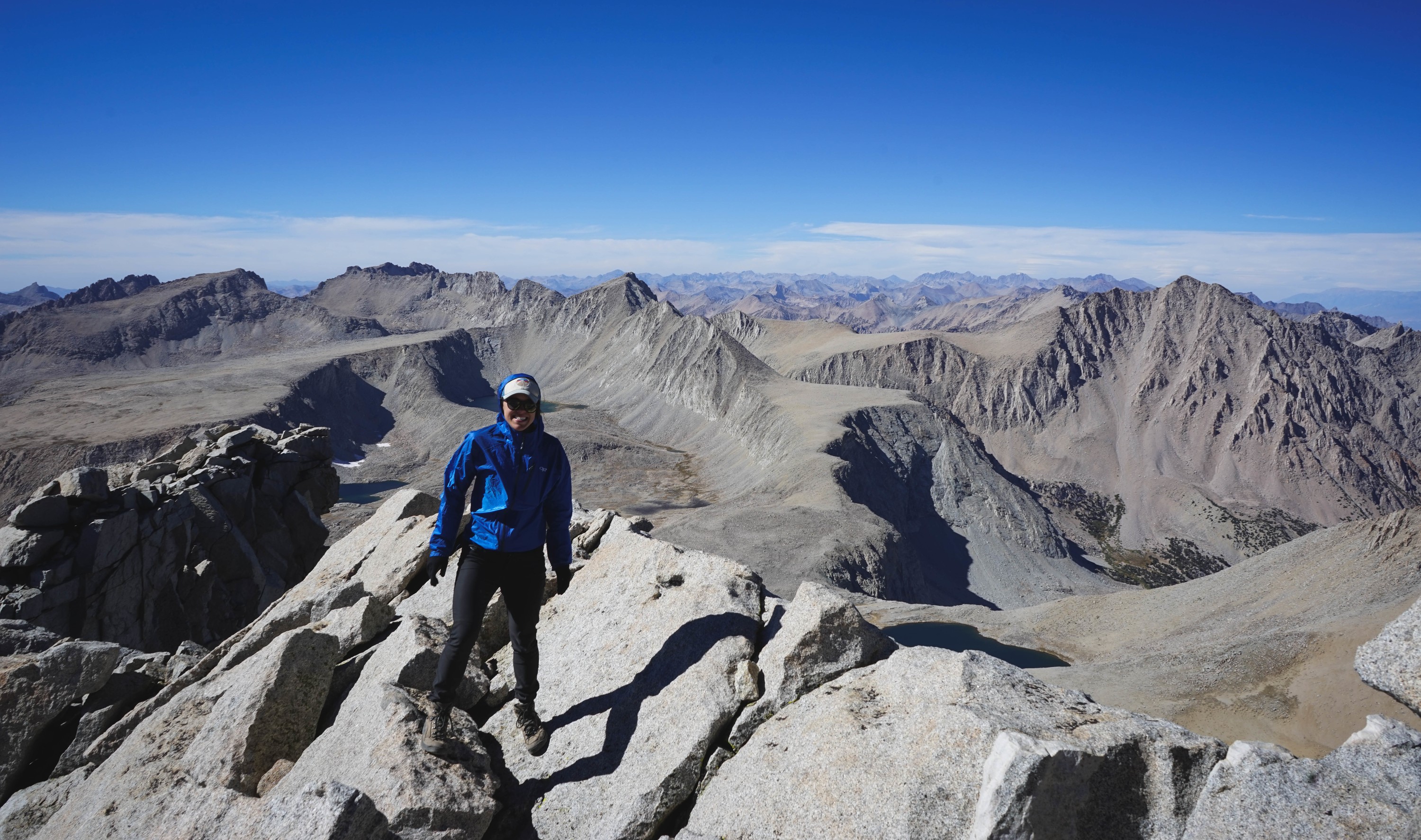
Shannon on the summit of Mount Tyndall.
Shepherd Pass, far below.
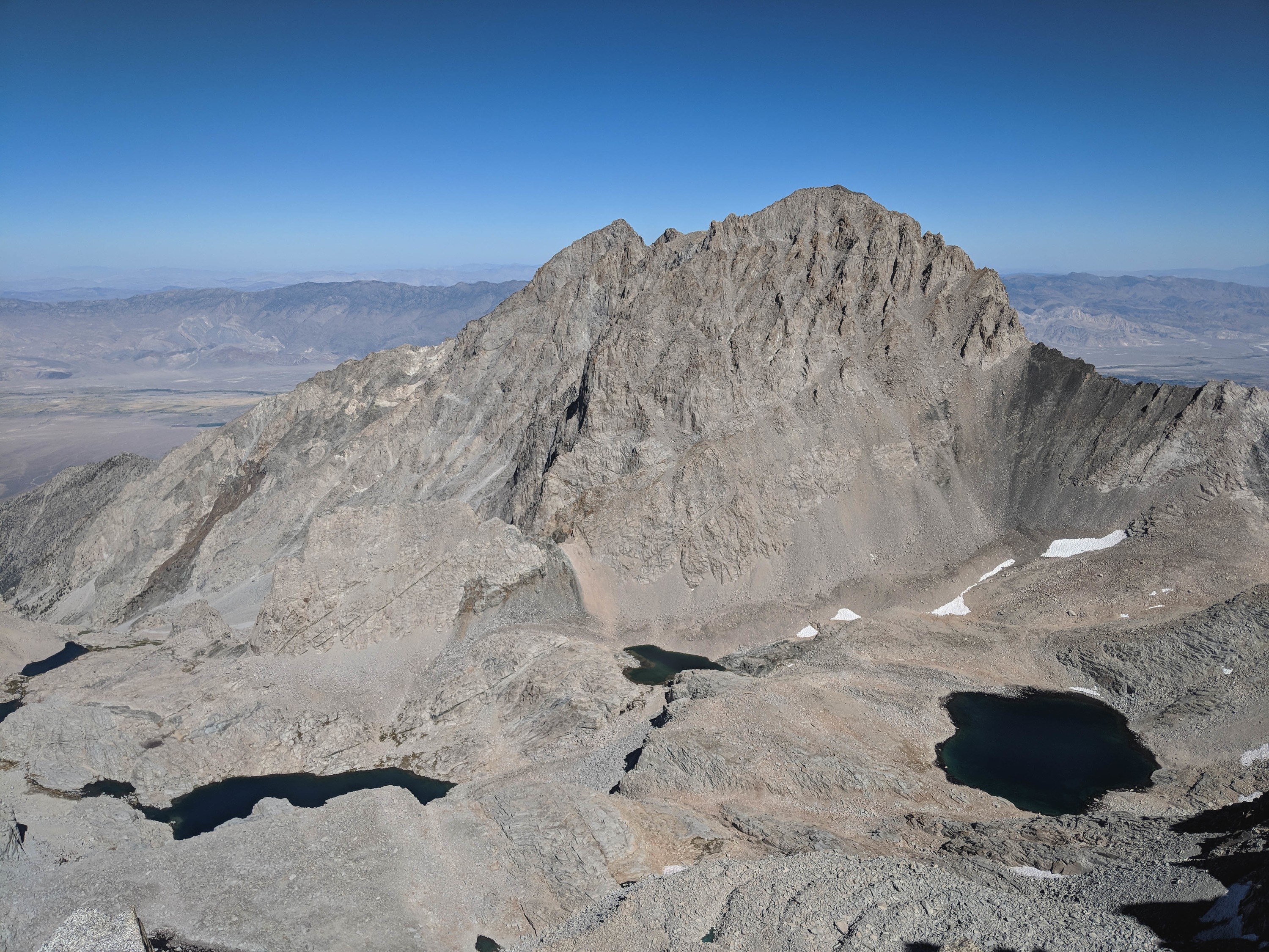
The imposing west face of Mount Williamson. It’s difficult to imagine a relatively easy route climbing this face, but it does exist!
Looking down the North Rib.
Making my way down the North Rib. Descending through the slightly looser rock on the main rib was fine, the slabs to climbers-right were a bit too steep to walk down comfortably.
Shannon strolling off the bottom of the North Rib.
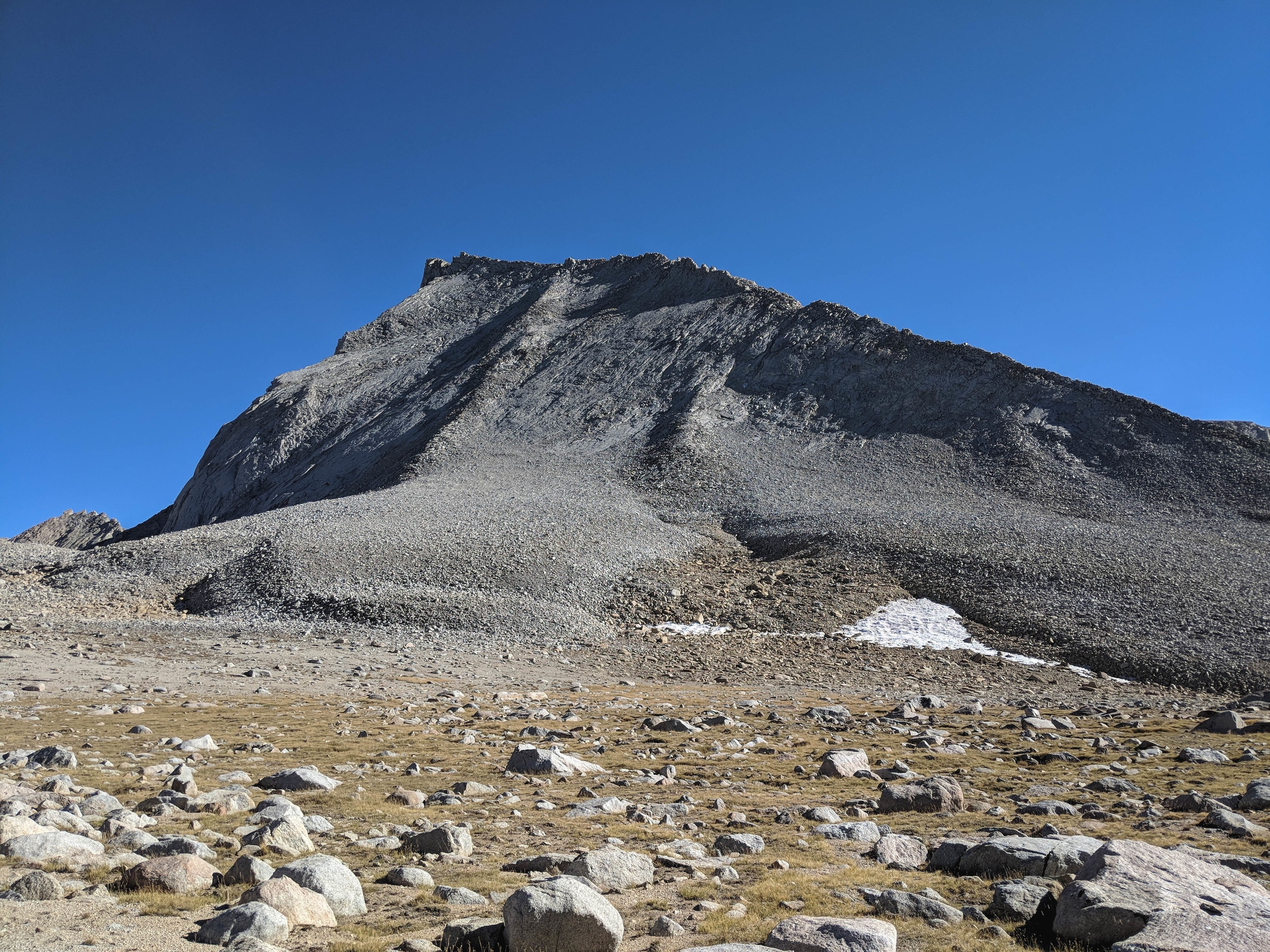
Mount Tyndall from below. If you look very closely, you can see the smaller talus piles that branch off to the right that misled us.
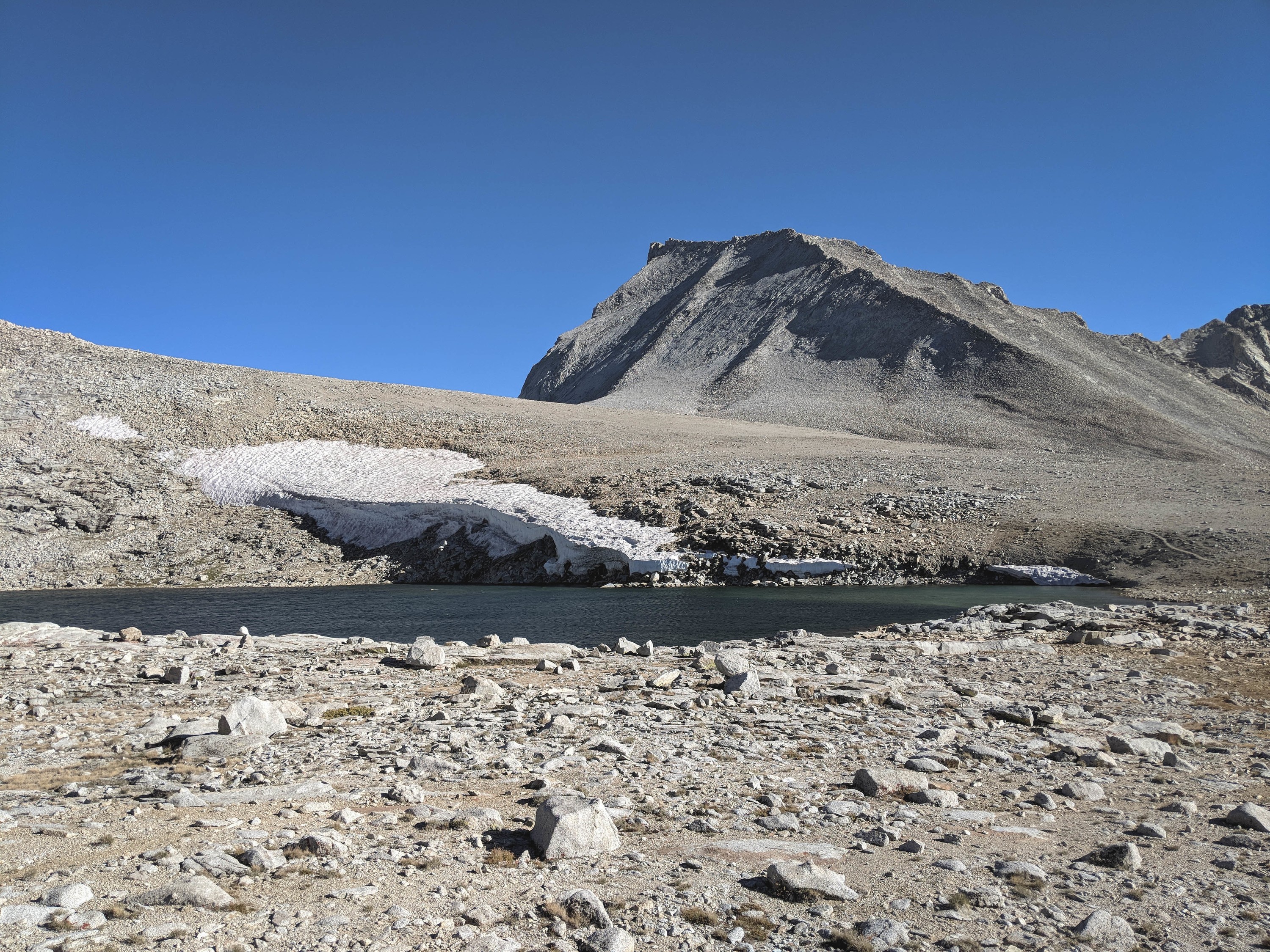
The classic shot of Mount Tyndall from the lowest tarn.
The wind had kept up for the entire time we had climbed, at a sustained 20-30mph. Having already spent a sleepless, windy night atop Shepherd Pass on a previous trip, the prospect wasn’t too inviting, especially if the reward was simply repeating a climb we had previously done. So we opted to descend Shepherd Pass for better shelter for the night, finish at the trailhead the next, and hitchhike back to our car after that. We descended to the Pothole, but it was still fairly windy there, so we continued on another mile to Anvil Camp, where the trees bore the brunt of the wind.