The Next Day
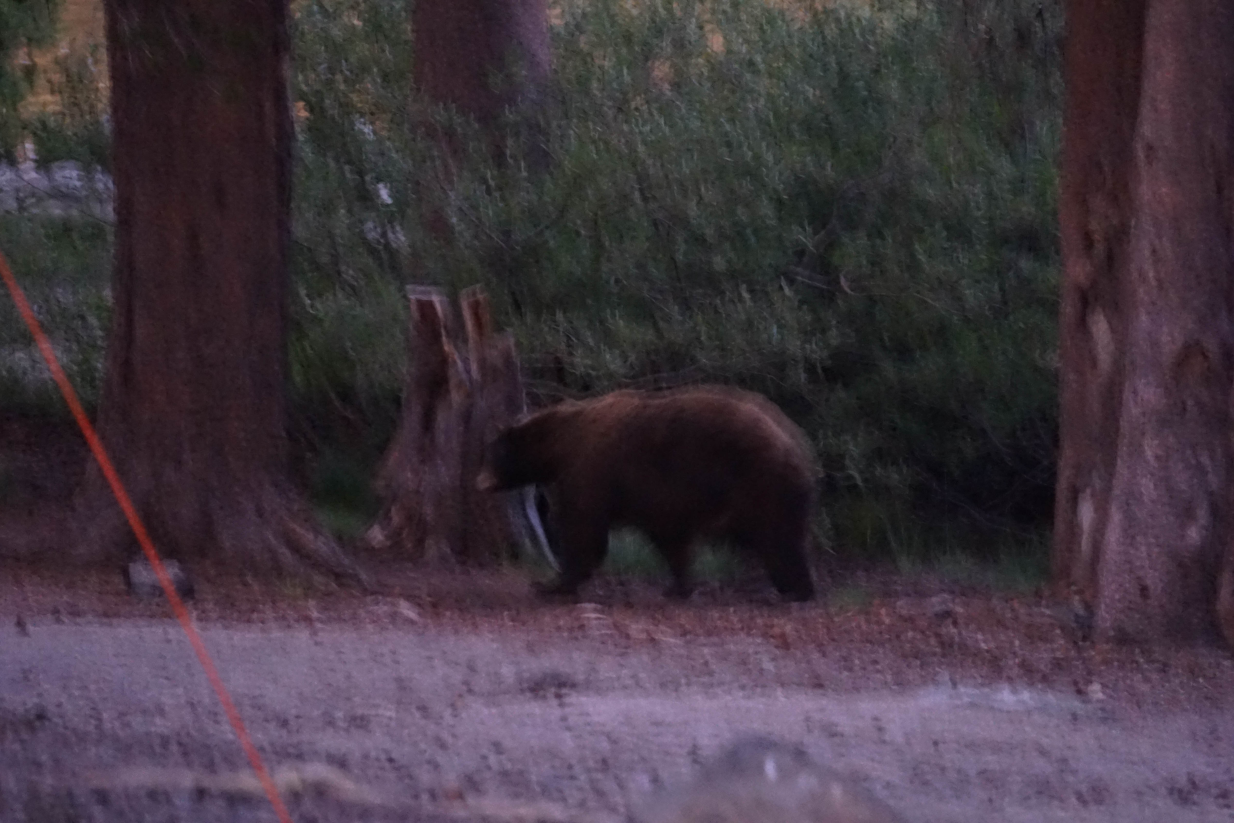
We got a campsite at the Lake Mary campground that night, where a visitor came by in the early evening (sorry for the blurry photo).
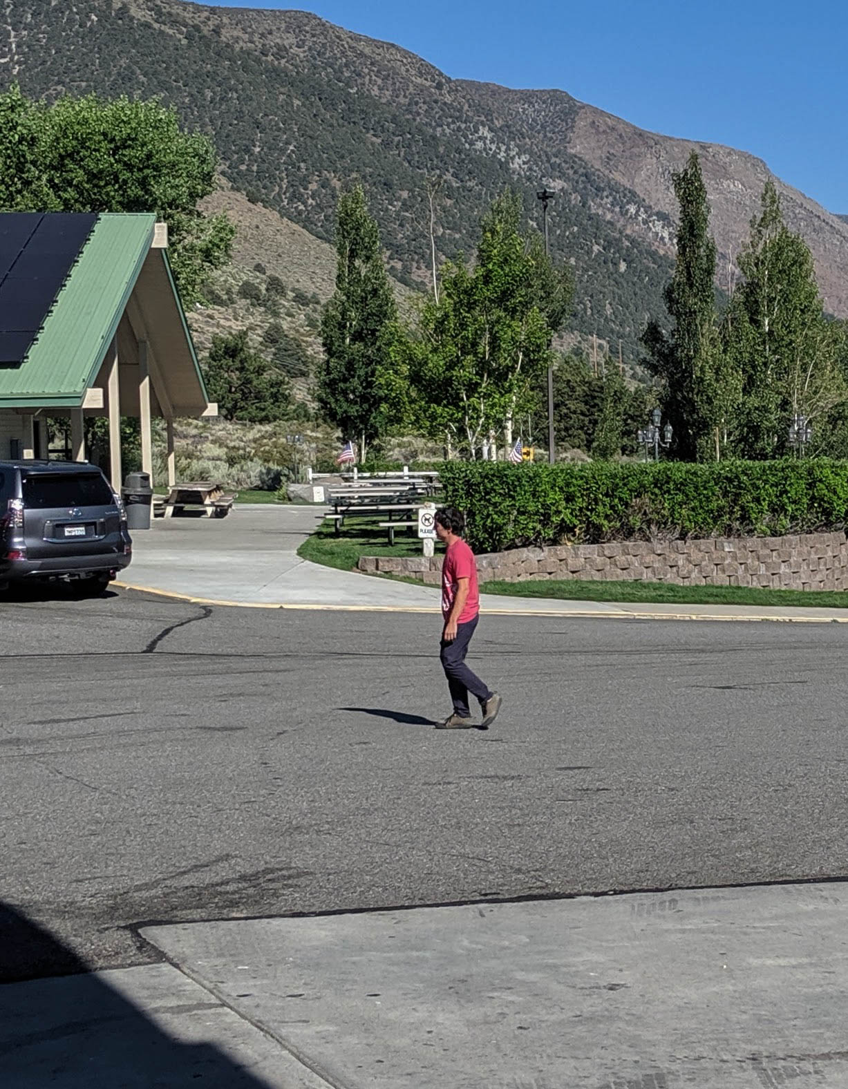
The next morning, we stopped at the Whoa Nellie Deli on our way home and saw professional climber Brad Gobright.
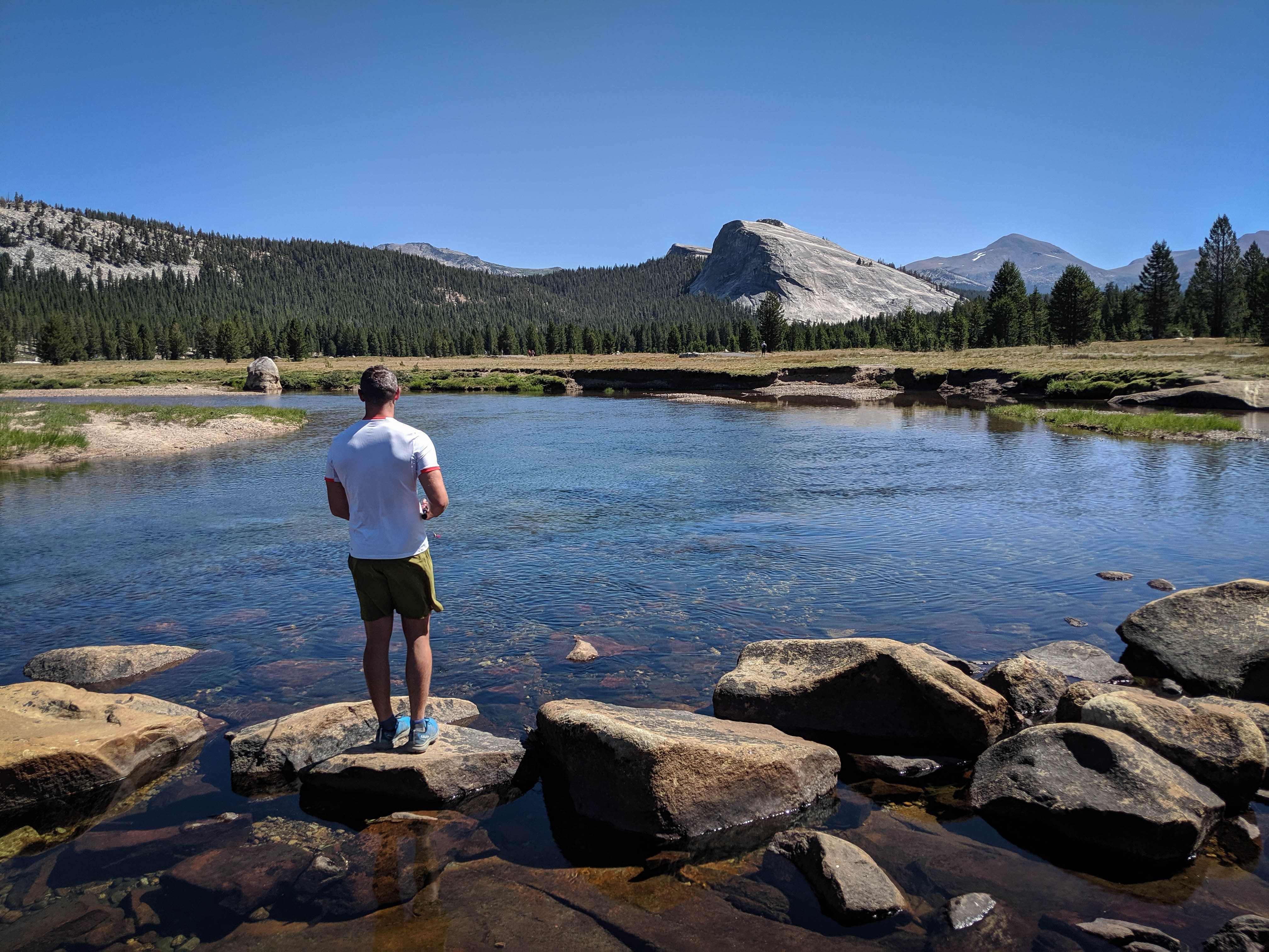
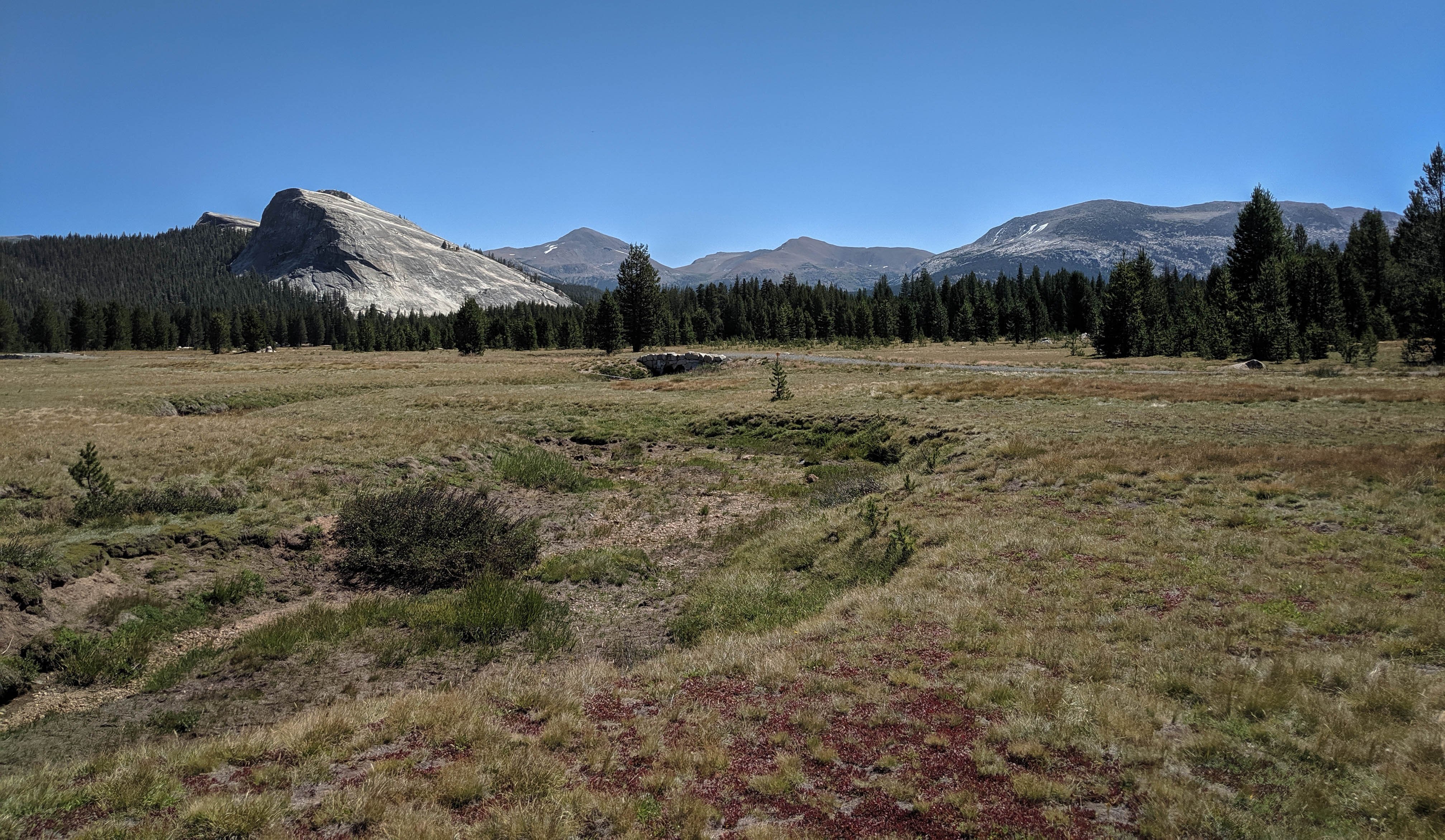
We took the scenic route through the park and stopped in Tuolumne Meadows to fish for an hour or so. Braden caught a couple of small trout, but I didn’t have any luck.
Looking Back
This was a very pleasant trip. It’s always fun to share the outdoors with others and finding strong, capable partners lets you do that while pushing yourself. We struck a good balance of pushing ourselves, visiting some remote and scenic places, and relaxing. Here are my thoughts on a few things specific for this trip.
Trailhead
The Pine Creek Trailhead is not a particularly easy trailhead. Sure, it’s no Taboose or Sawmill Pass, but using this trailhead is signing up for at least 3,000’ of climbing early in your trip. The fact that this trailhead is right next to the much more inviting Rock Creek Trailhead makes Pine Creek even less inviting. That said, if your goal is Granite Park, Royce Lakes, or the Bear Basin, this is your best bet.
The hike up the abandoned mining road from the trailhead to the lowest of the Pine Lakes leaves much to be desired, but after this 90 minutes of hard work, the scenery and hiking improve dramatically.
Specific Areas
I’ll comment specifically on Royce Lakes, the Bear Basin, and Chalfant Lakes.
Royce Lakes was an impressive display of High Sierra grandeur. The high elevation of these lakes meant they were mostly frozen, and there wasn’t much vegetation growing in the basin. The relief with Merriam, Royce, and Feather Peak to the west was very impressive. It didn’t look like there was anywhere in this basin to make a comfortable camp.
The Bear Basin was also quite remarkable. The alpine lakes nestled among granite and high peaks made a lovely lakes basin scene. It’s easy to see why this area is so popular. We camped here for one night and saw one other group also camping, and four others hiking around the area. While it wasn’t complete solitude, it also wasn’t overrun by any means. We had some trouble with the fishing in this area, only catching one fish in a couple of hours of fishing.
Finally, the Chalfant Lakes area was another fantastic spot, and it was quite close to the Italy Pass Trail. We found excellent fishing, great scenery, and solitude here, and I’d highly recommend trying to get to this basin for a night instead of camping along Pine Creek. The only gotcha is that the access is a little bit tricky.
Passes
Finally, I’ll add some brief commentary about each of the passes we crossed, in order.
The hardest thing about Croft Col is figuring out exactly where to leave the Pine Creek Trail to find the lake below the pass. Well, that or the small bit of talus on the north and west shores of the lake. After that, the ~500’ climb to the pass is straightforward. The views of Feather Peak and Royce Lakes from the pass are very good.
BeaRoyce Col is a bit of a different story. For our mid-summer trip after a big snow year, we found extensive snow in the upper Royce Lakes Basin and the east side of this pass. This made for a tricky ascent of this pass. There were a couple of spots which were almost too steep, but the soft, suncupped snow granted us stable footing. In addition to terrain difficulties, we had a bit of trouble identifying the exact location of the pass, it’s a small notch to the right on the ridgeline, but the left chute is equally inviting. Near the top, the snow turned to sand which was safer, but no more enjoyable to climb. The views from the top of the pass were awesome. The west side of the pass was a couple of short downclimbs, then easy scree and sand skiing down, which would be miserable to climb.
Dancing Bear Pass was pretty straightforward from the Bear Basin. The only noteworthy section was from Black Bear Lake to White Bear Lake, where we found some large gullies that had to be skirted. The final pitch and plateau to the pass was unremarkable. The long contour to Italy Pass was tedious, but easy.
Finally, Italy Pass was the easiest, as it has a trail over it, but the trail is a bit difficult to follow. We didn’t find it on the west side of the pass, but crossed it at the top of the pass. On the way down, through Granite Park, it disappears and reappears constantly. You’re better off not worrying about it above about 11,400’. The views of Granite Park and Mount Humphreys from Italy Pass are awesome.
I think that’s about it for this trip report, hope you enjoyed it!