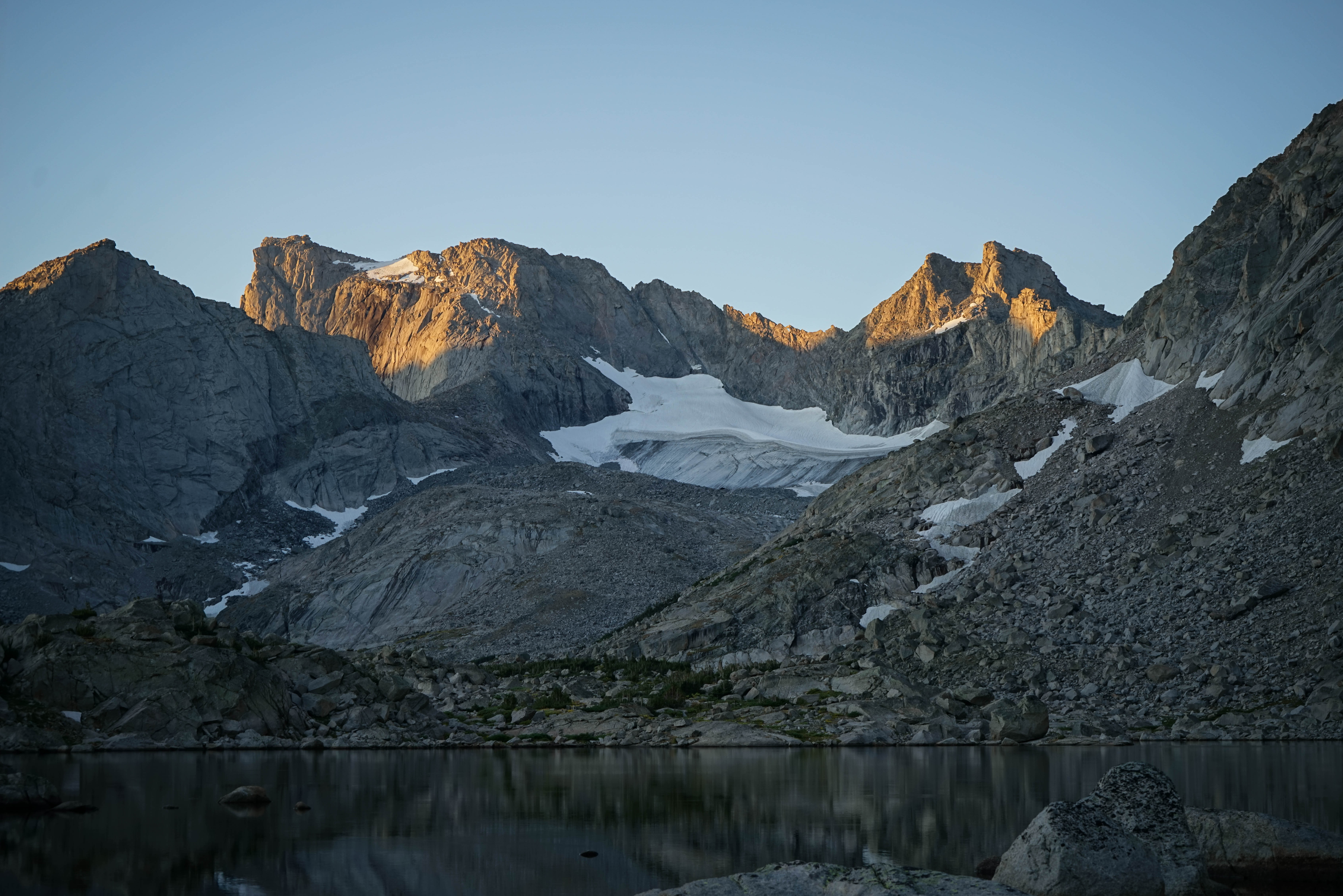
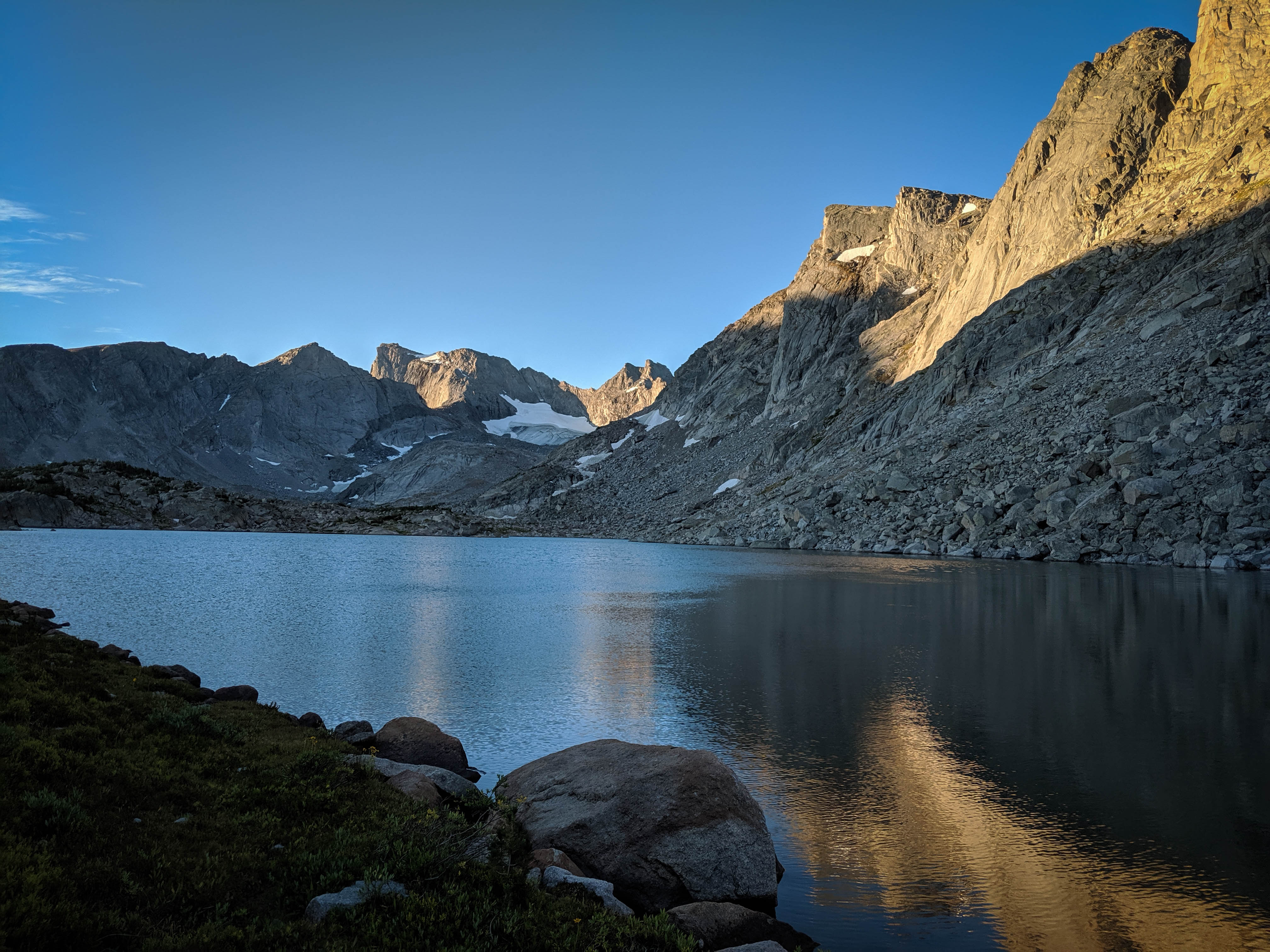
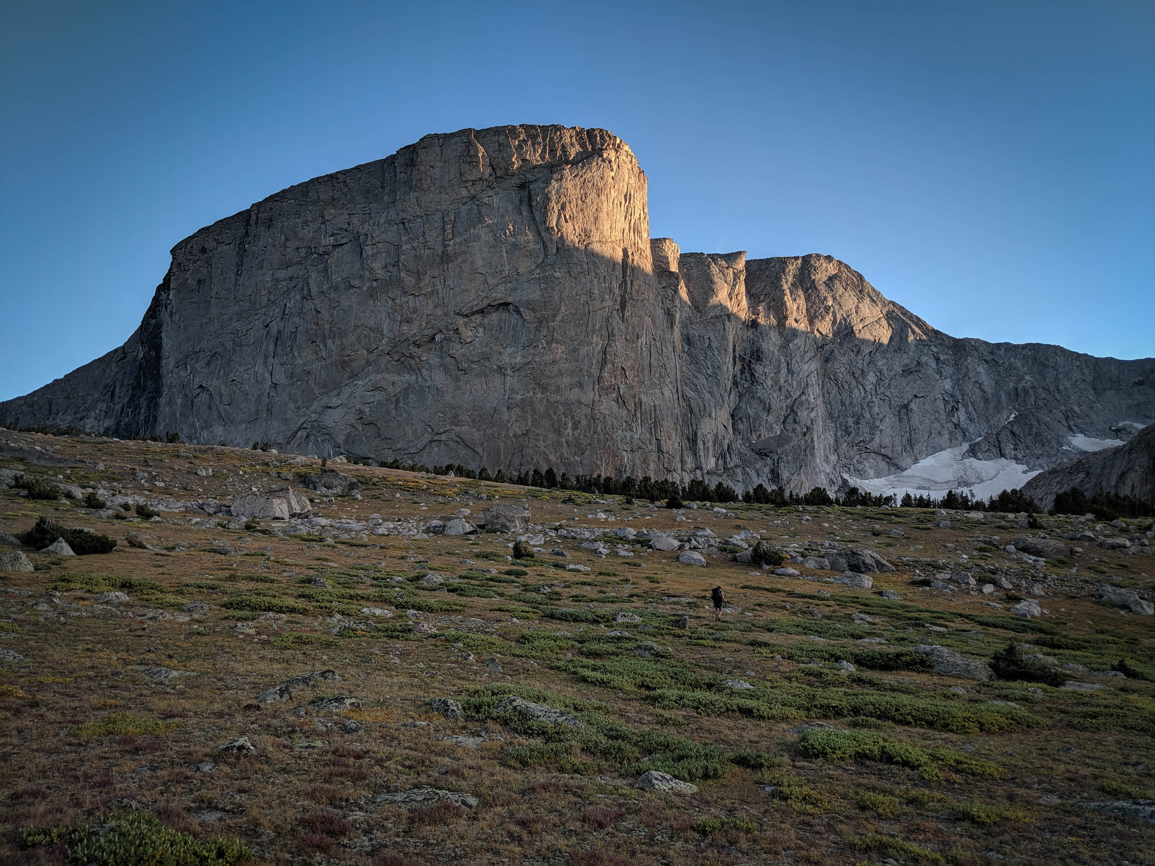
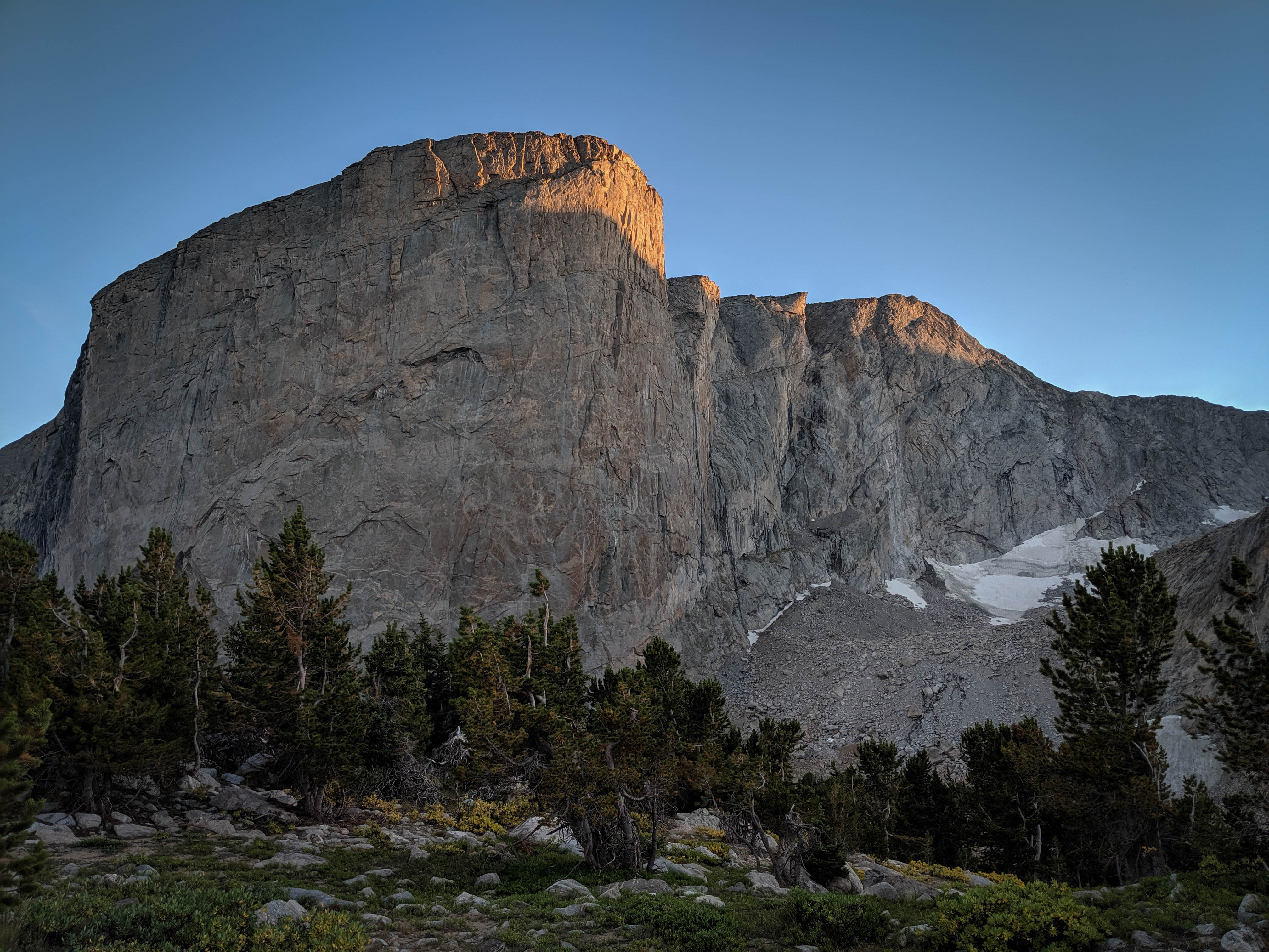
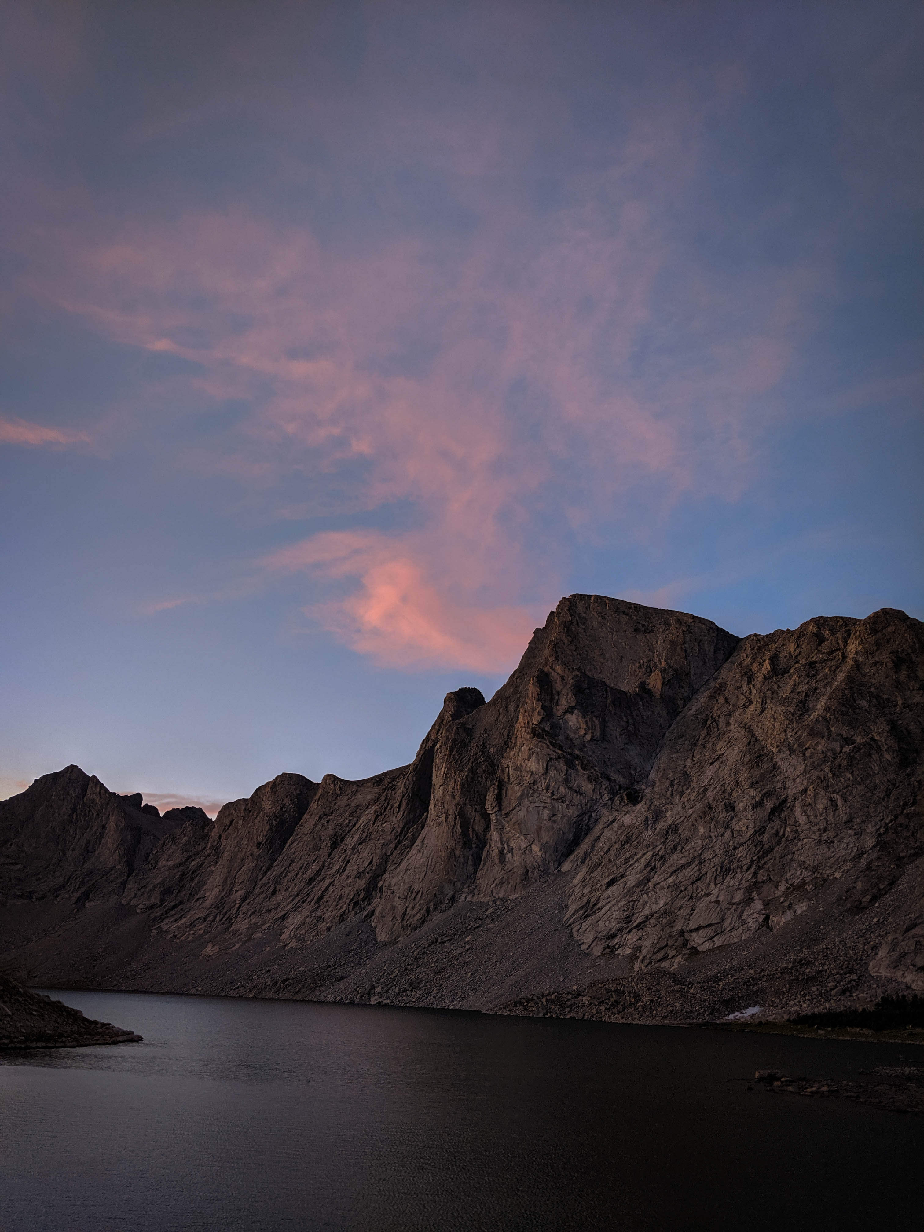
A beautiful sunrise on Lizard Head Peak, Camel’s Hump, and the South Fork Glacier.
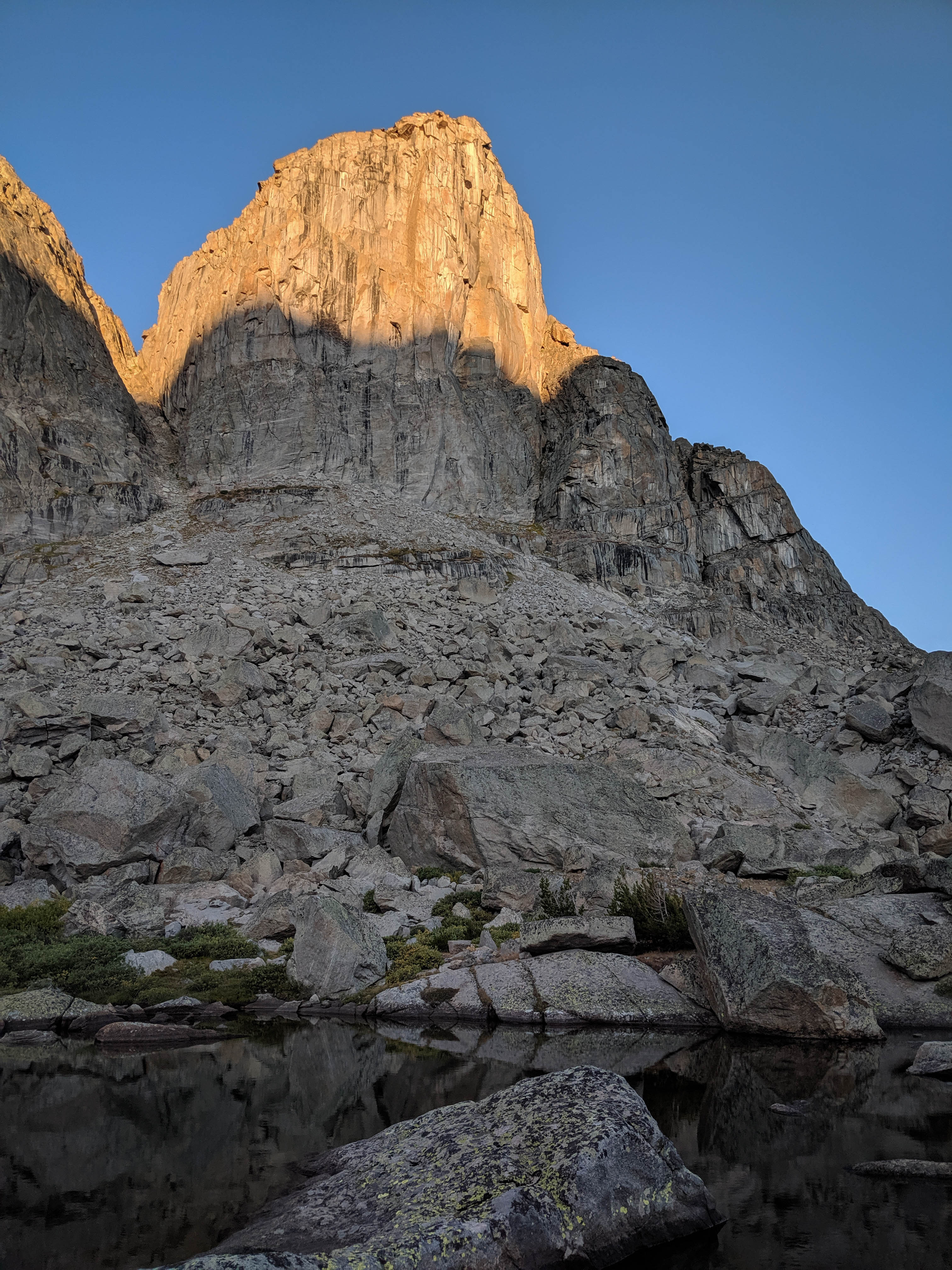
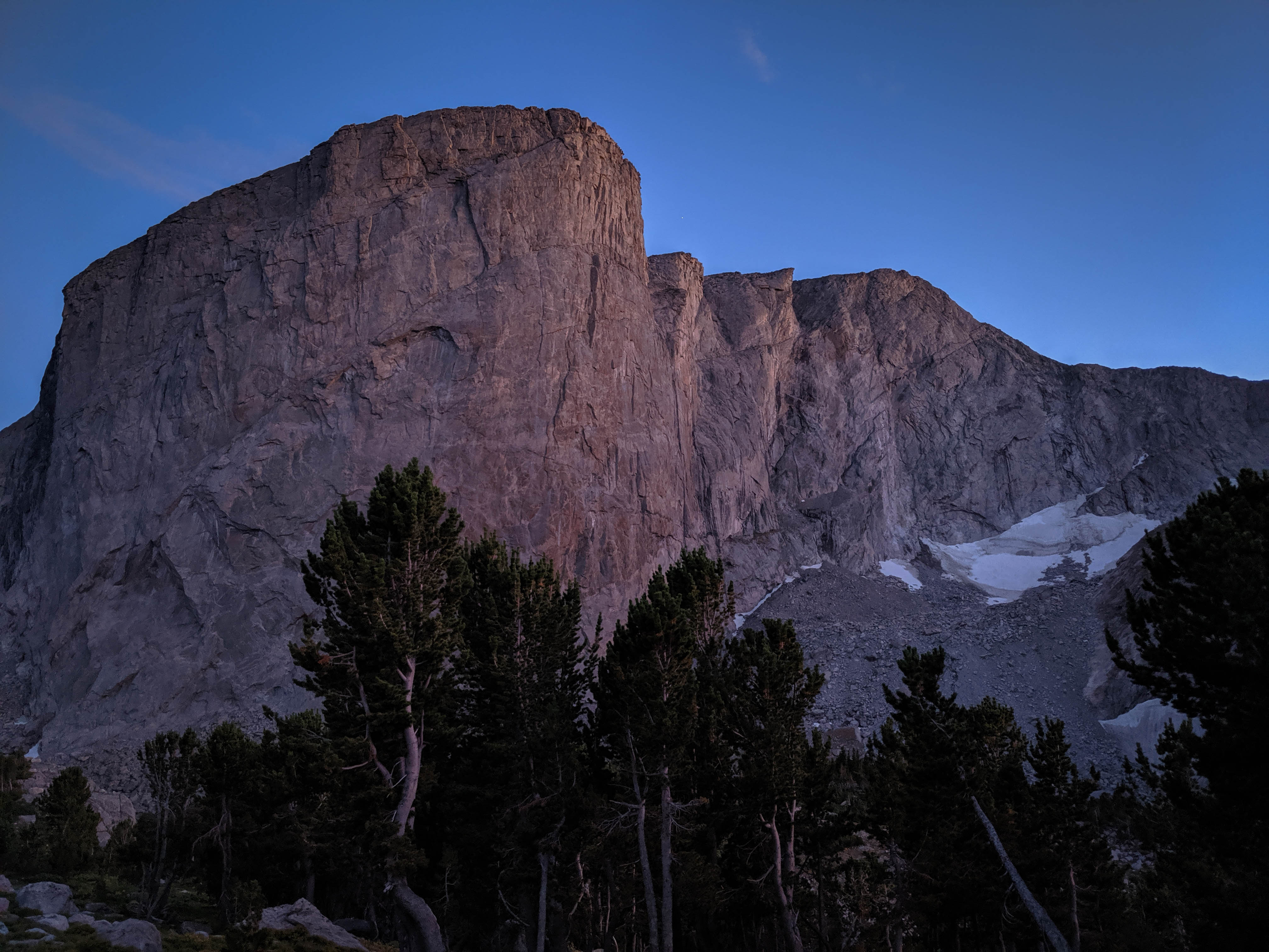
The morning sun on the pillars above our campsite.
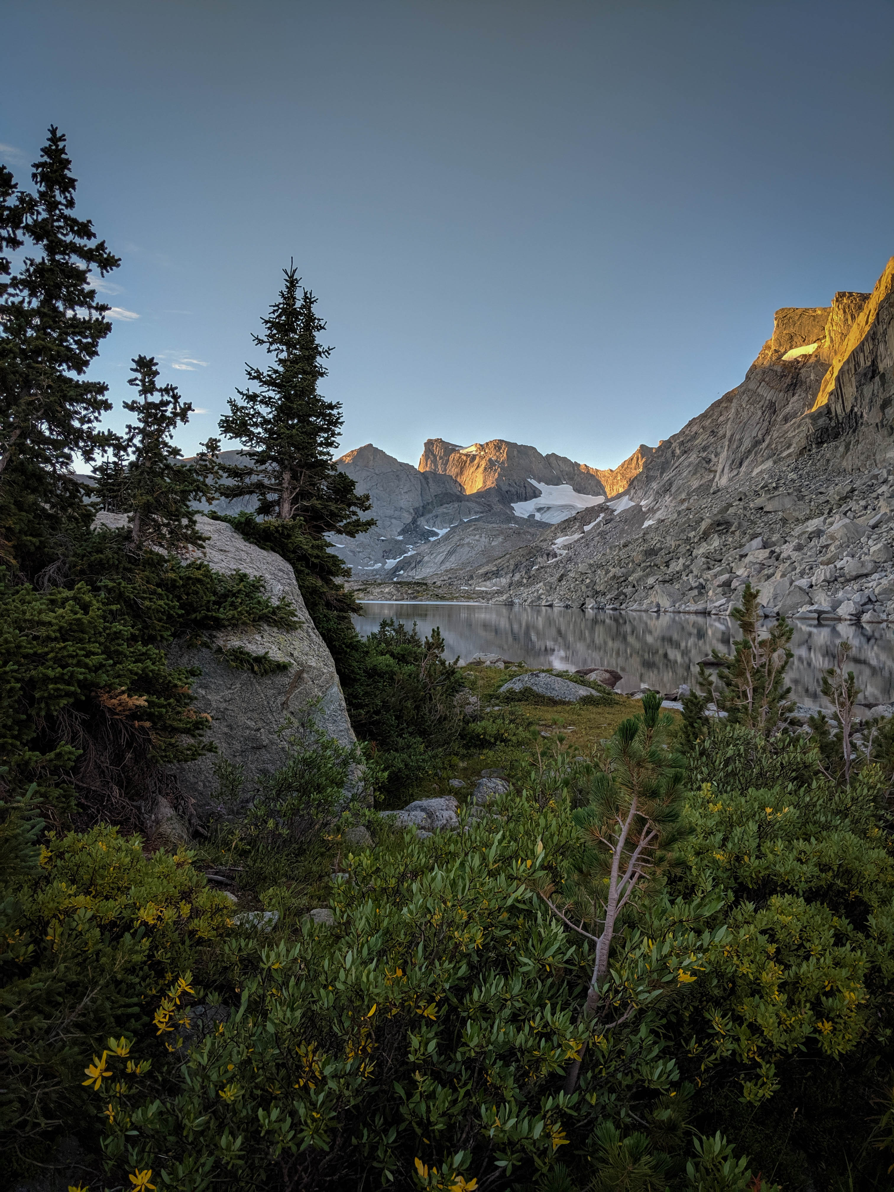
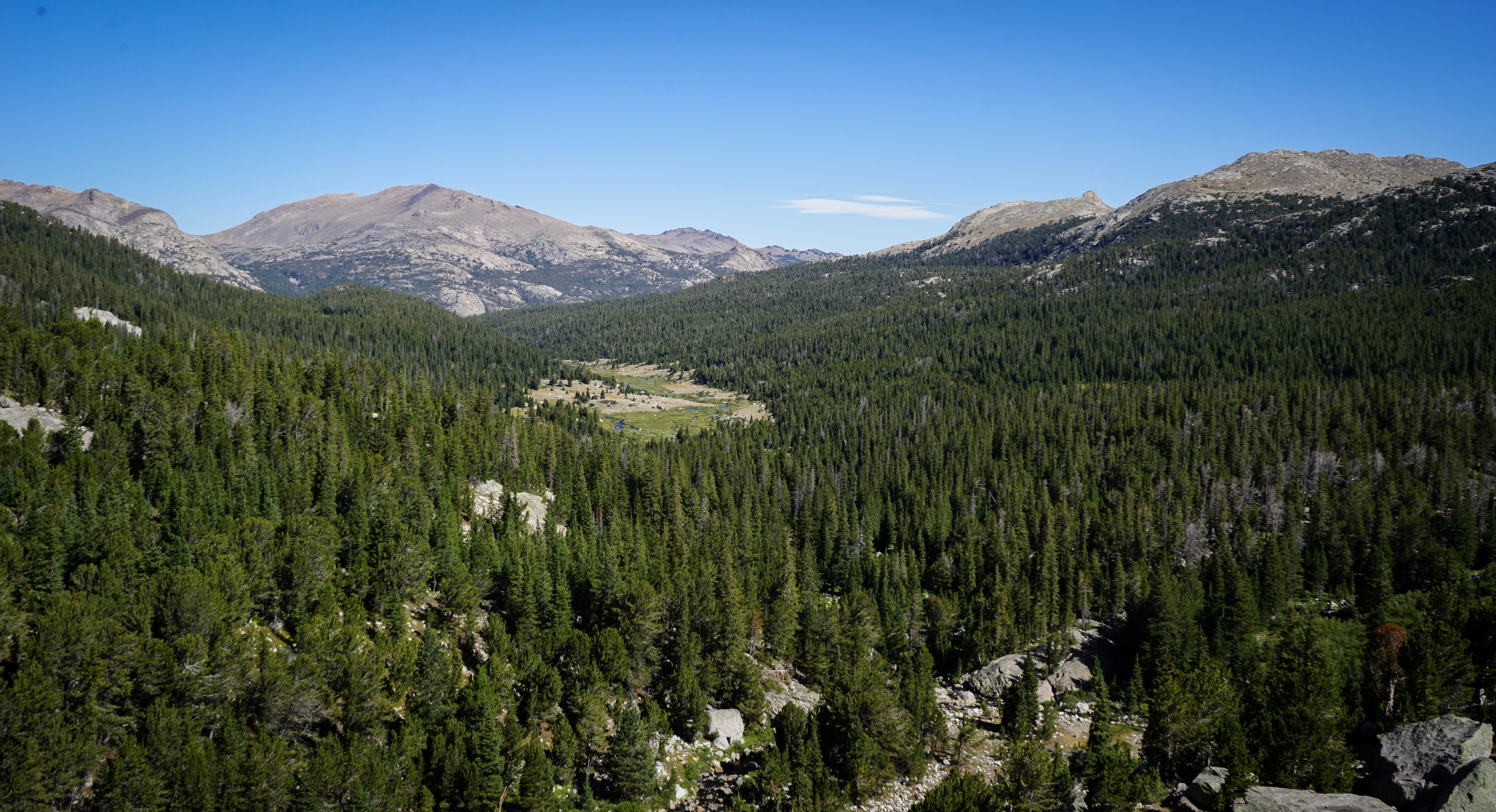
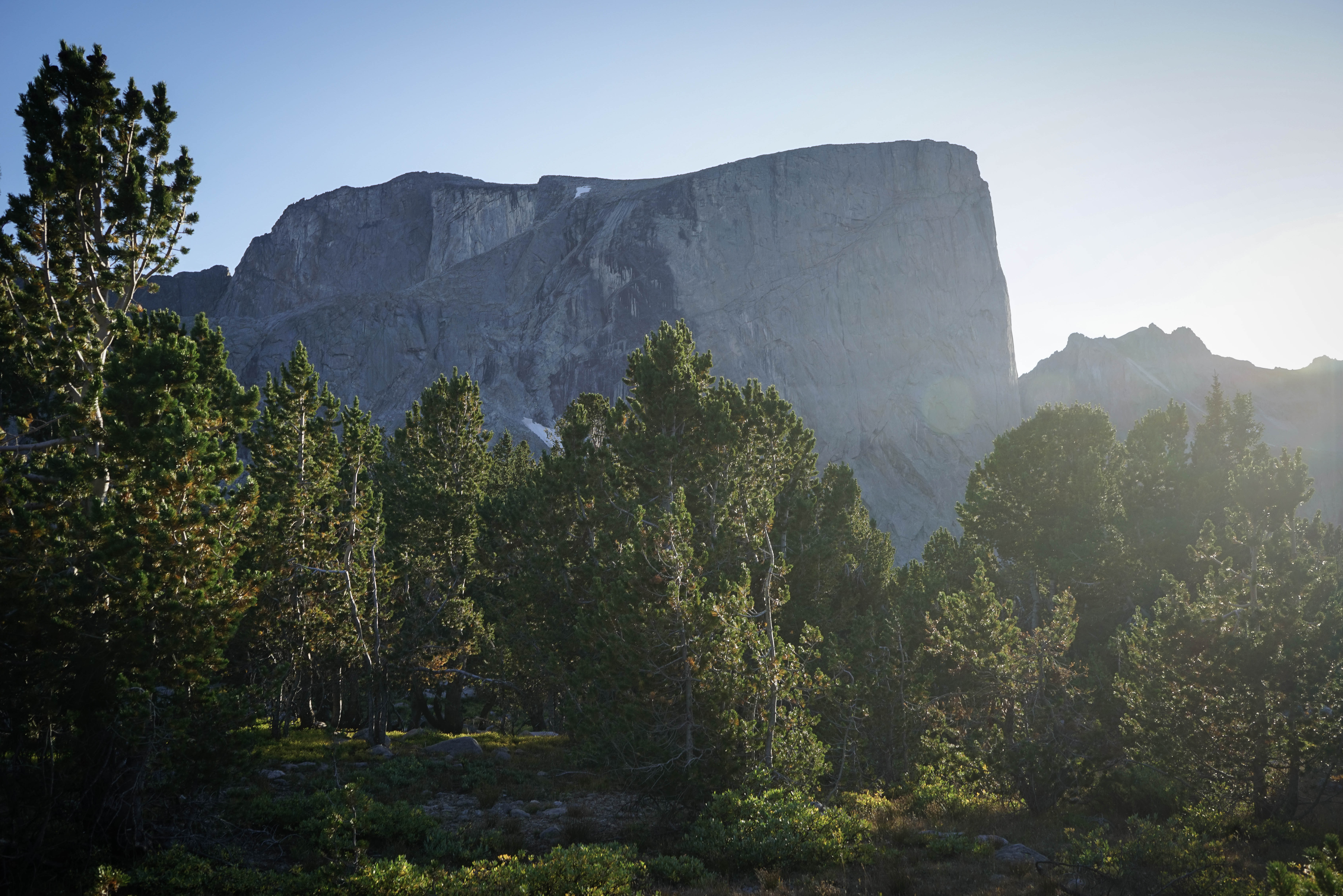
The view through the forest as I took a morning walk to the outlet of Lake 10462.
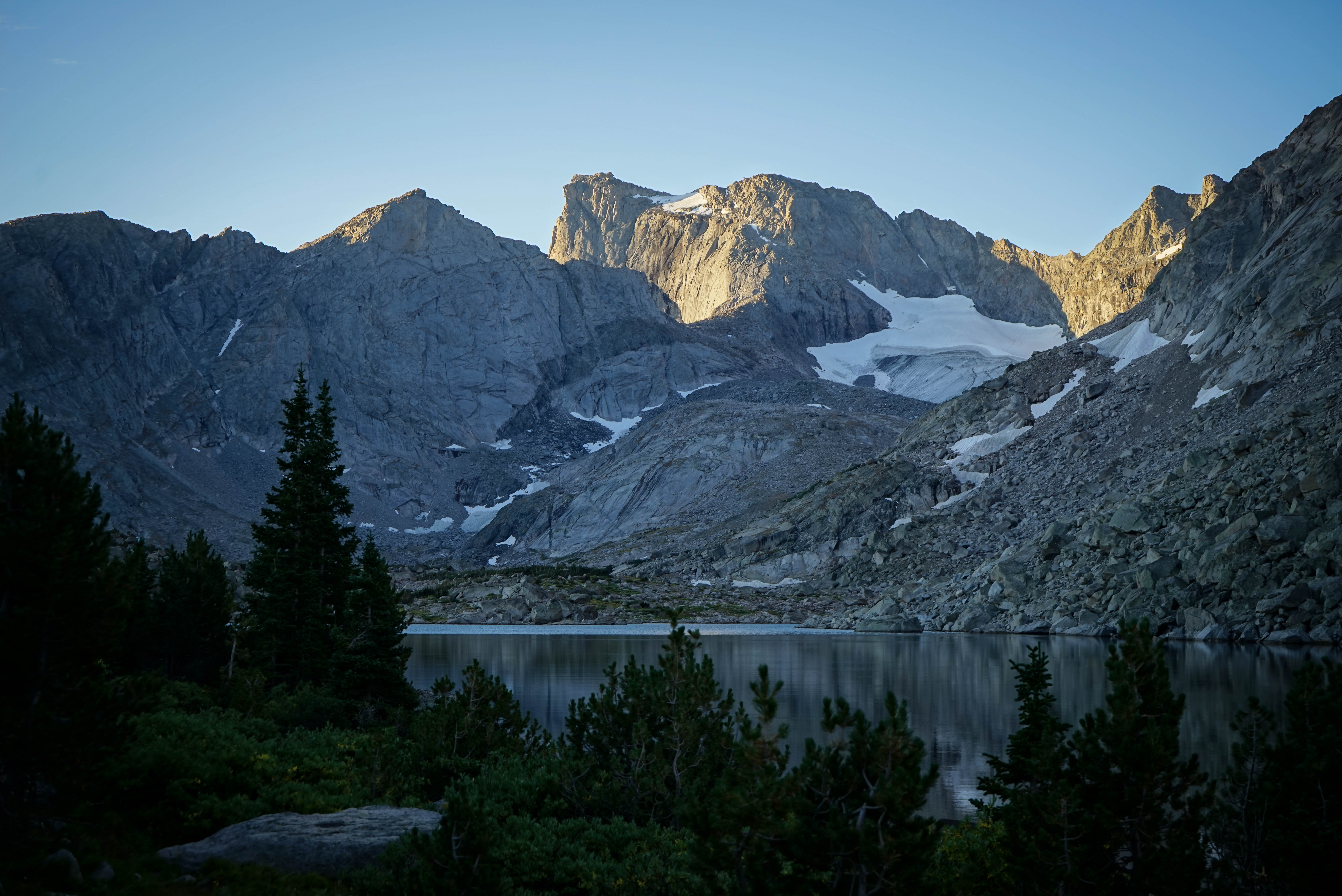
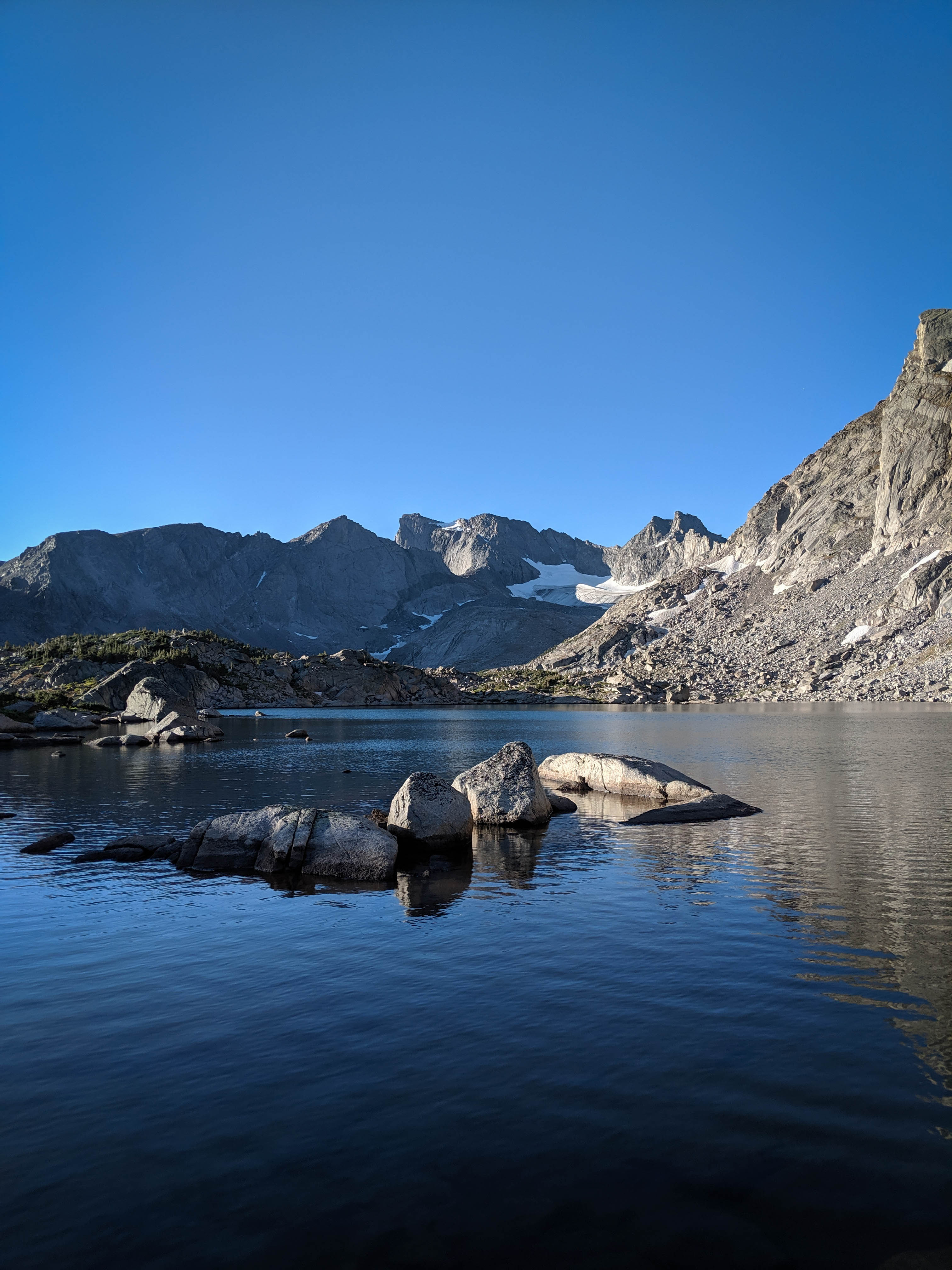
More sunrise shots.
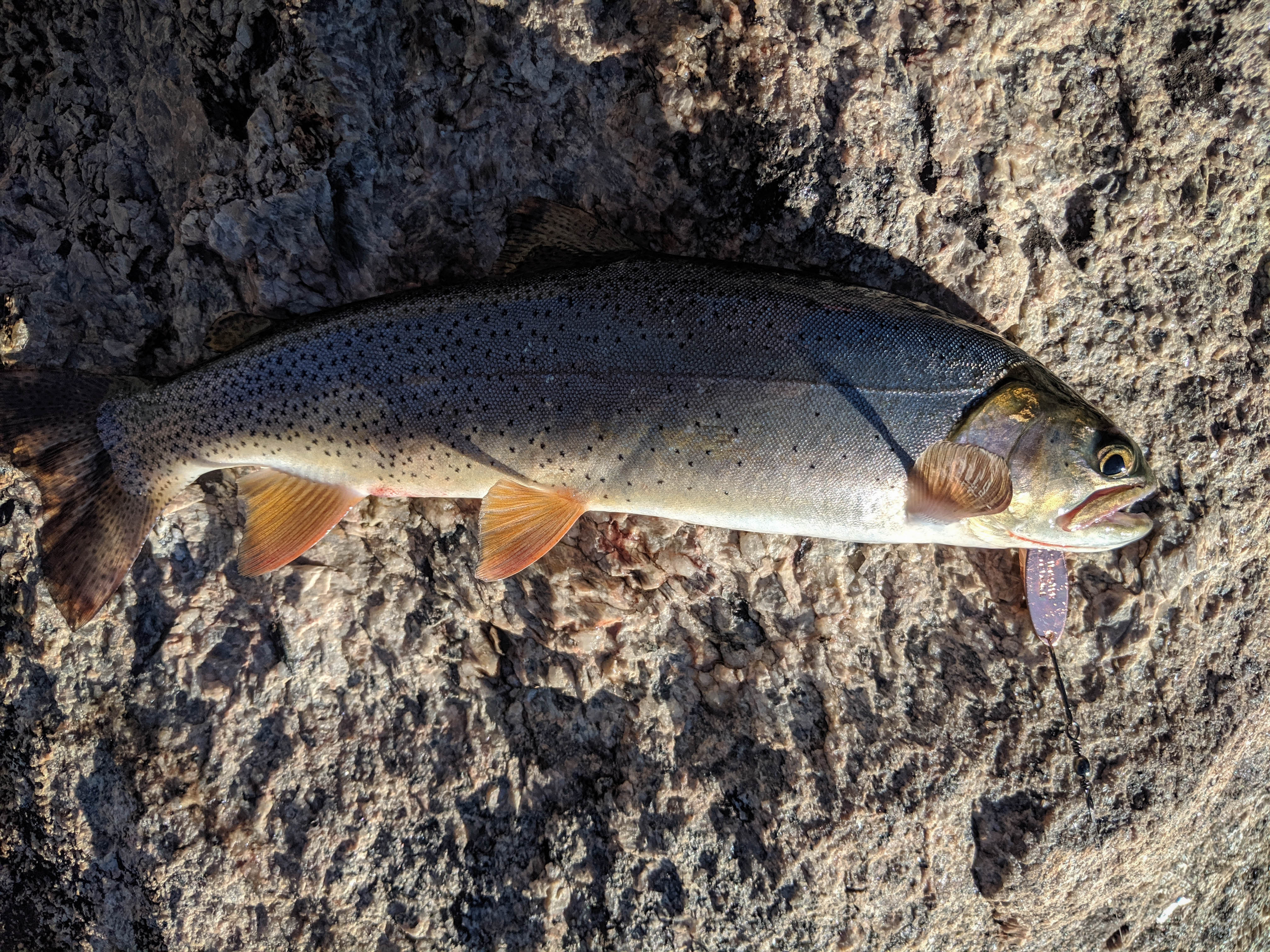
After breakfast, we lounged around the lake for a bit longer. I fished and caught a couple of cutthroat trout.
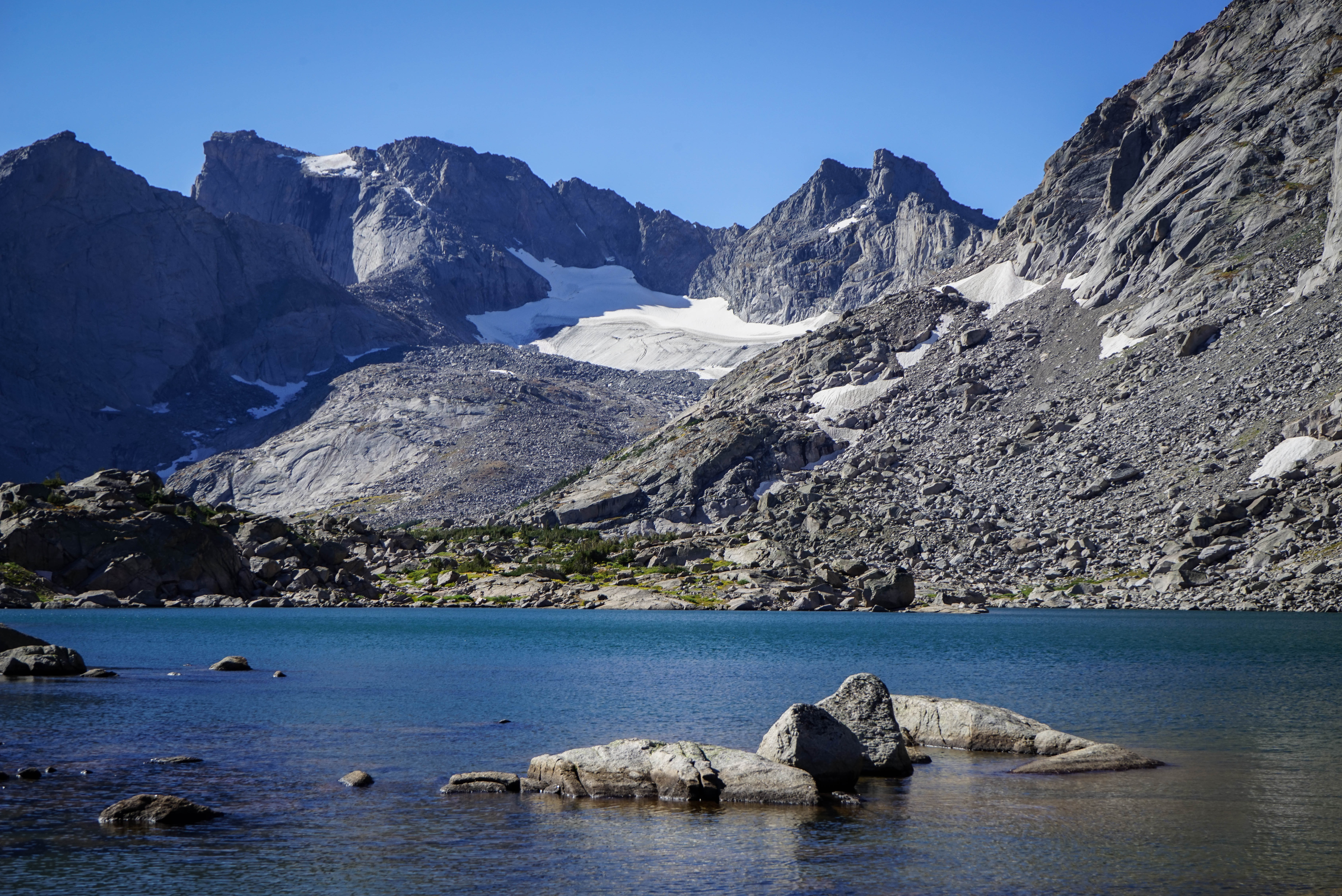

A couple more shots as we hit the trail.
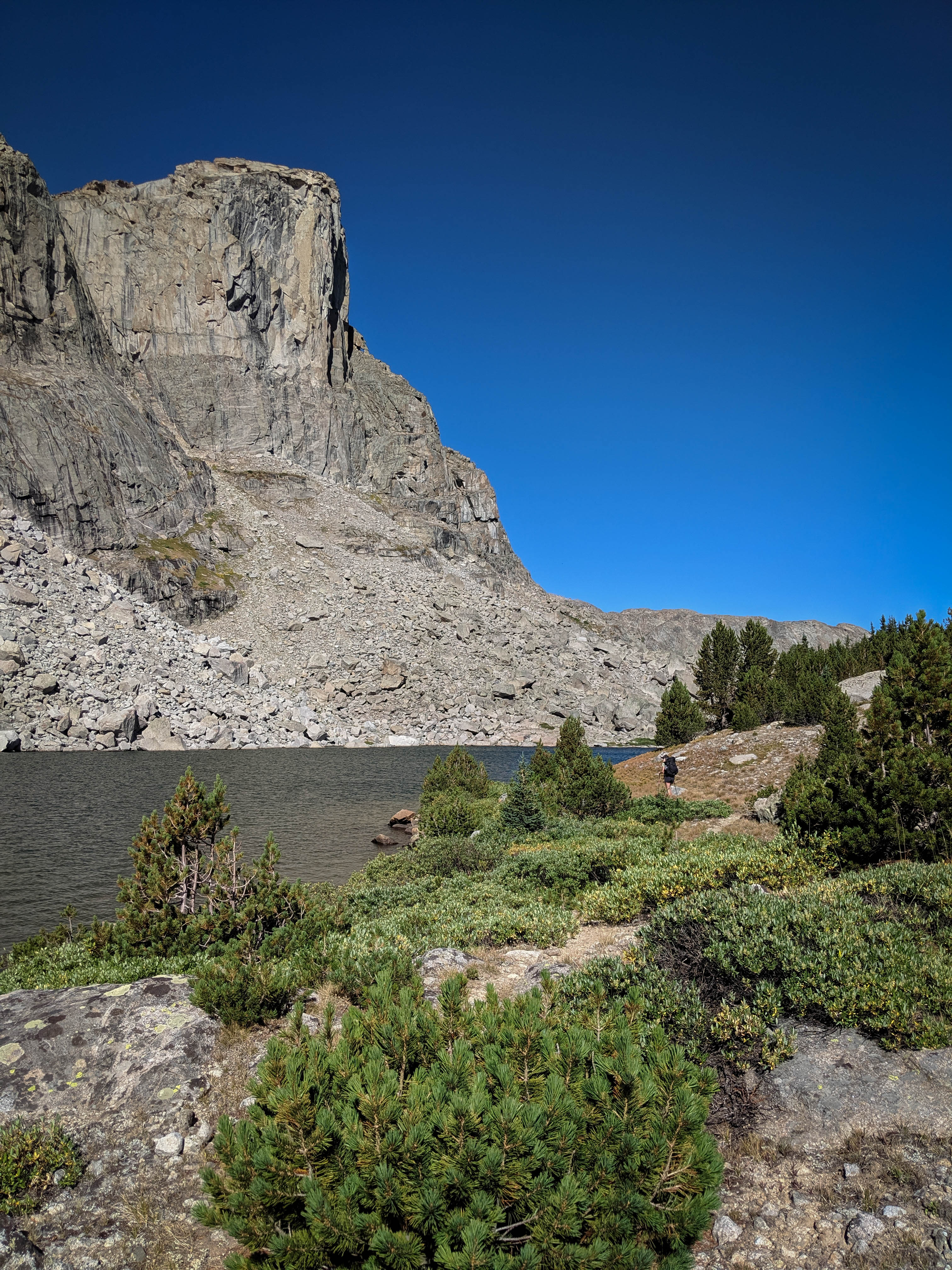
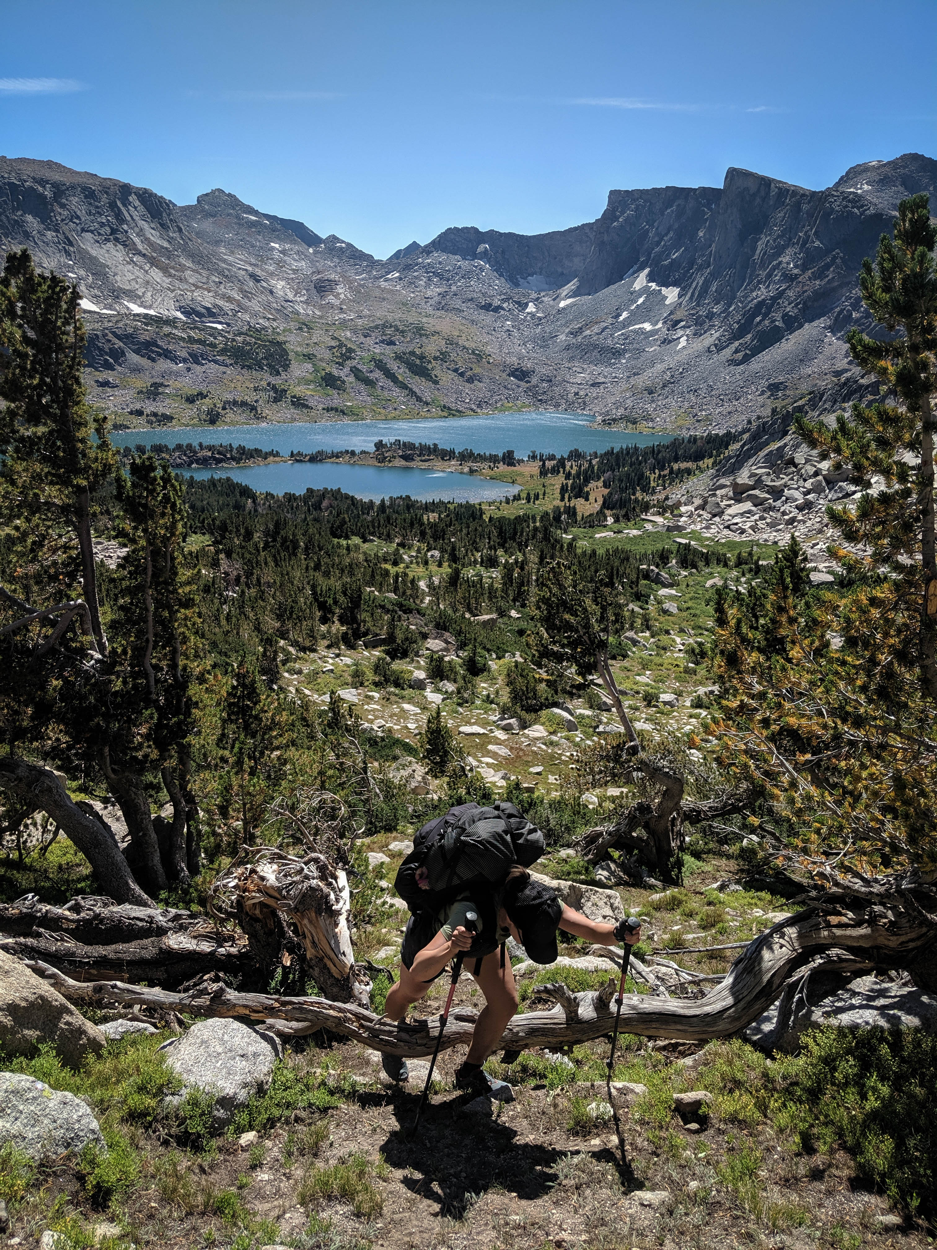
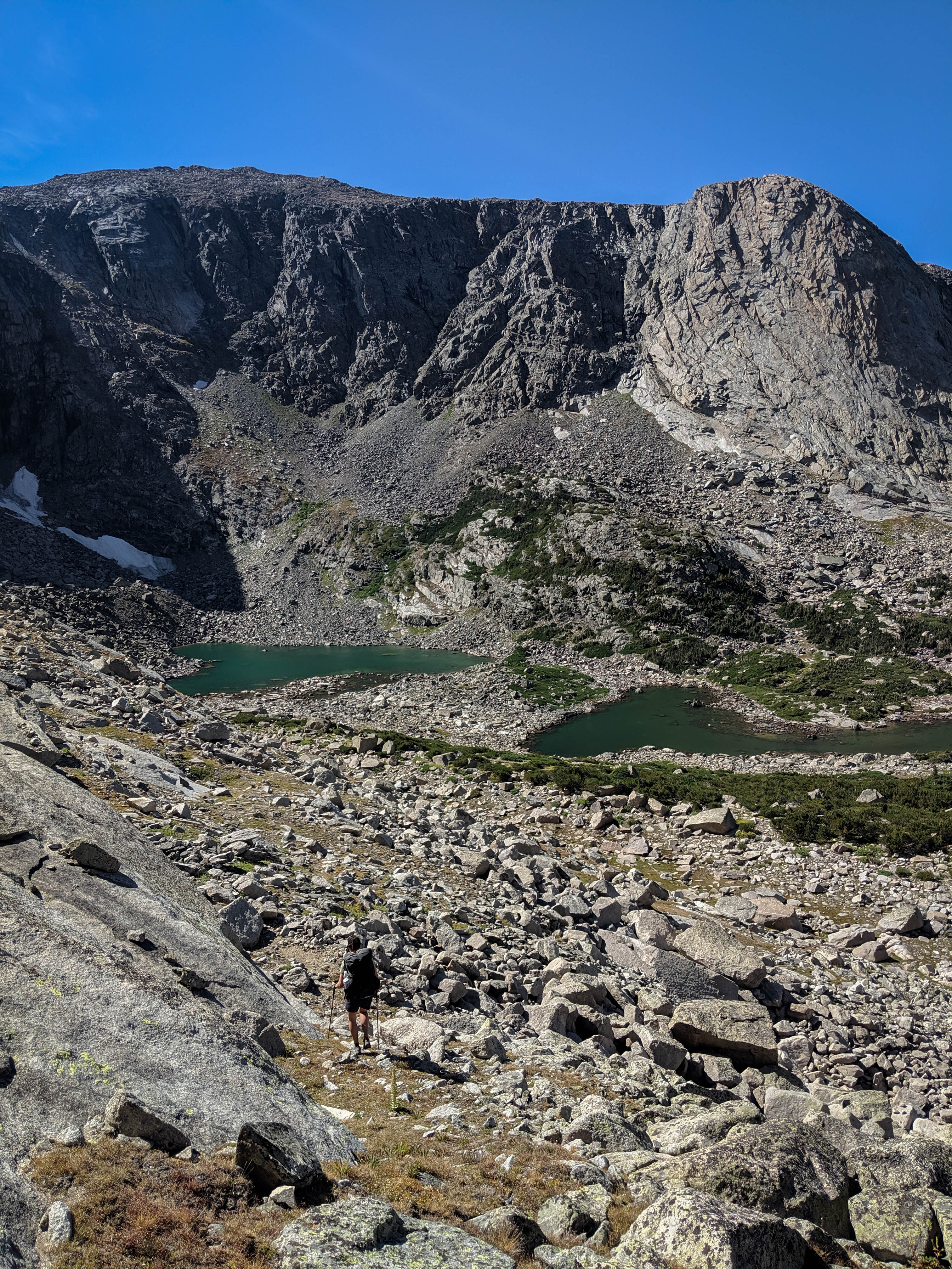
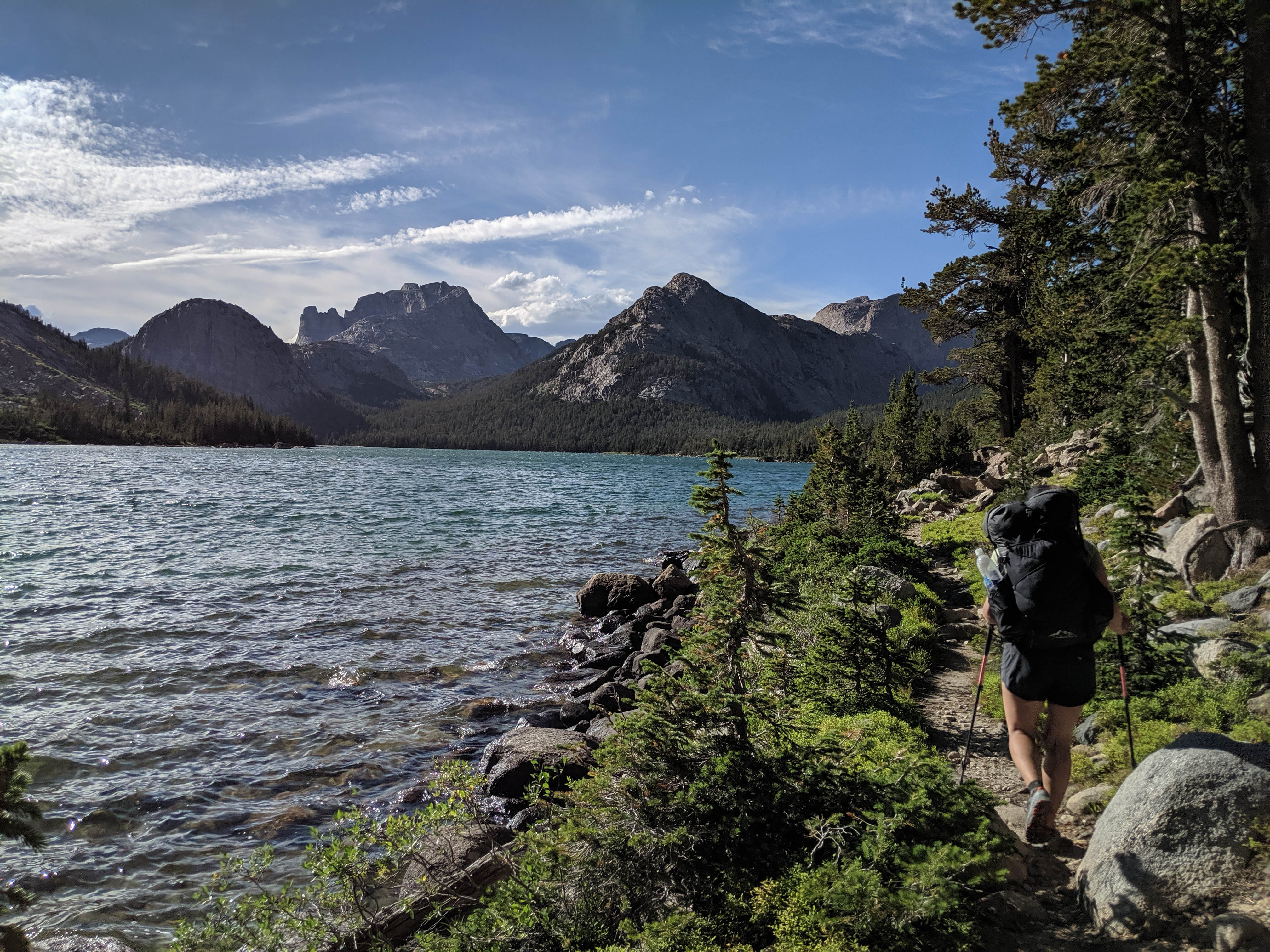
Shannon hiking towards the outlet of Lake 10462.
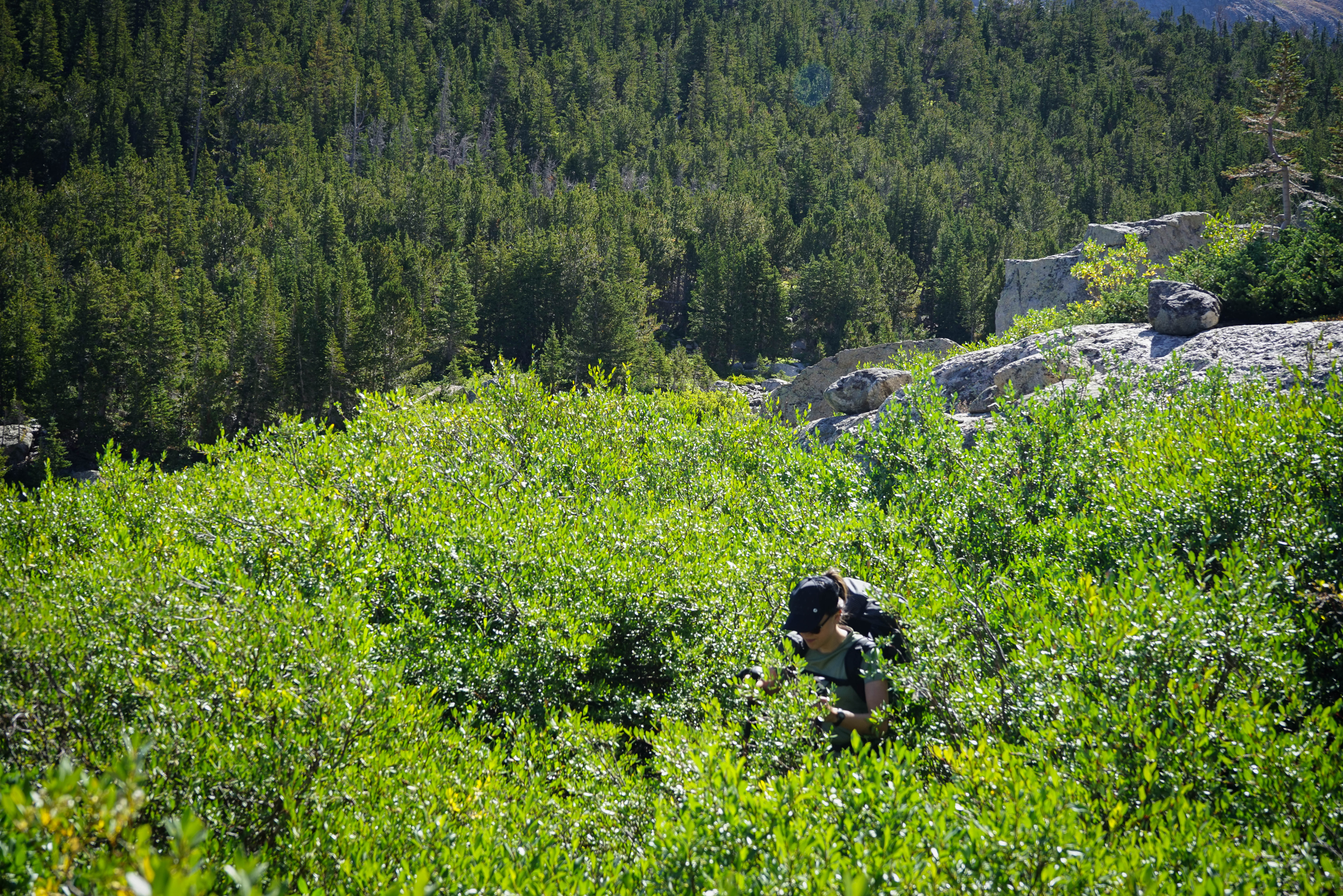
At the outlet of Lake 10462 we tried to follow the contour to Little Washakie Lake as described in Pallister’s book. Our route wasn’t particularly easy, including some thrashing through willows over our heads.
Overlooking Ranger Park. After thrashing through brush for a bit, we had to negotiate a tricky ledge system that cliffed us out a couple of times. This ledge system is plainly visible on Google Maps satellite view. This traverse was a bit tricky. I’m not sure if we should have dropped a bit lower, that may have helped.
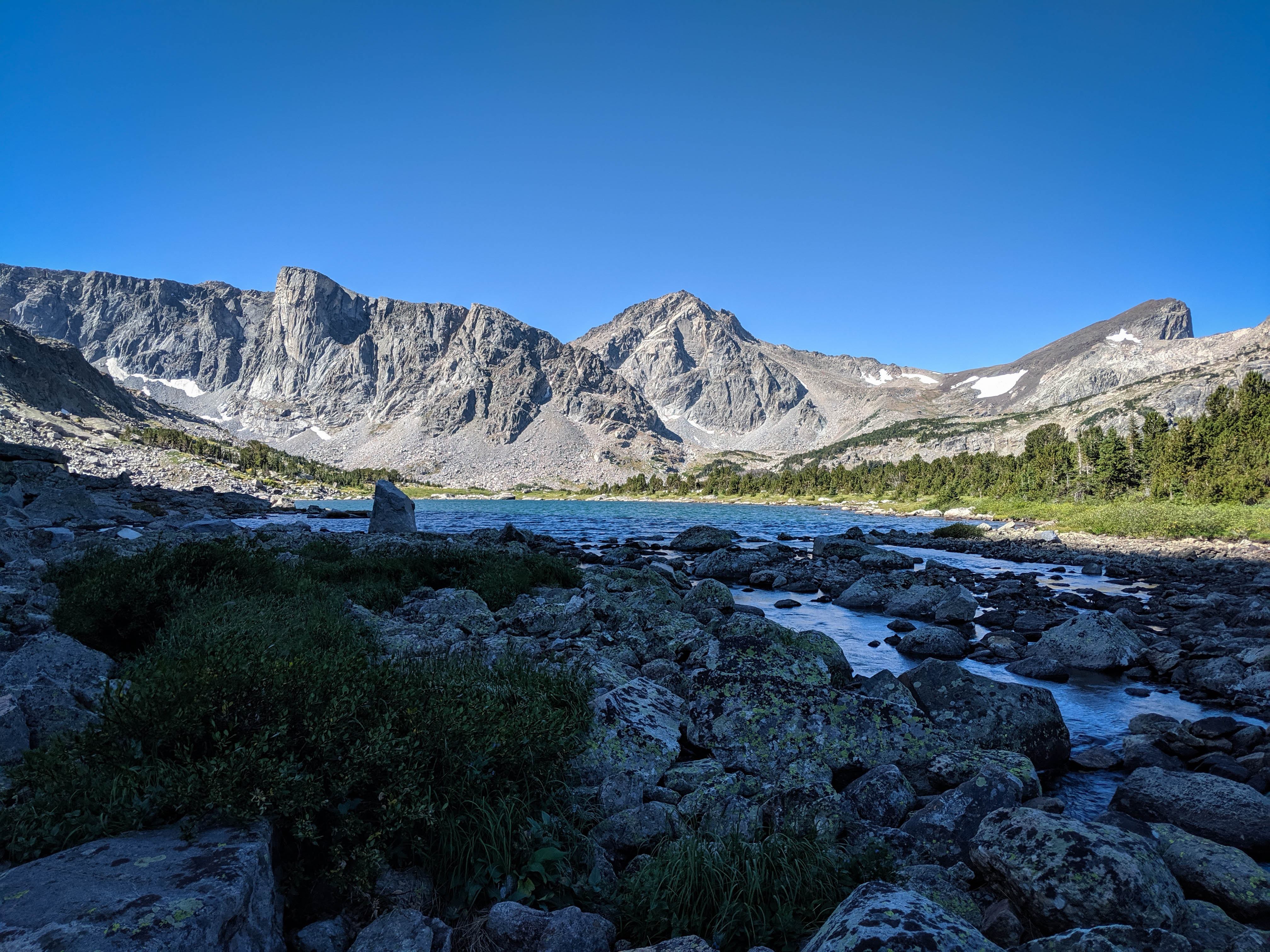
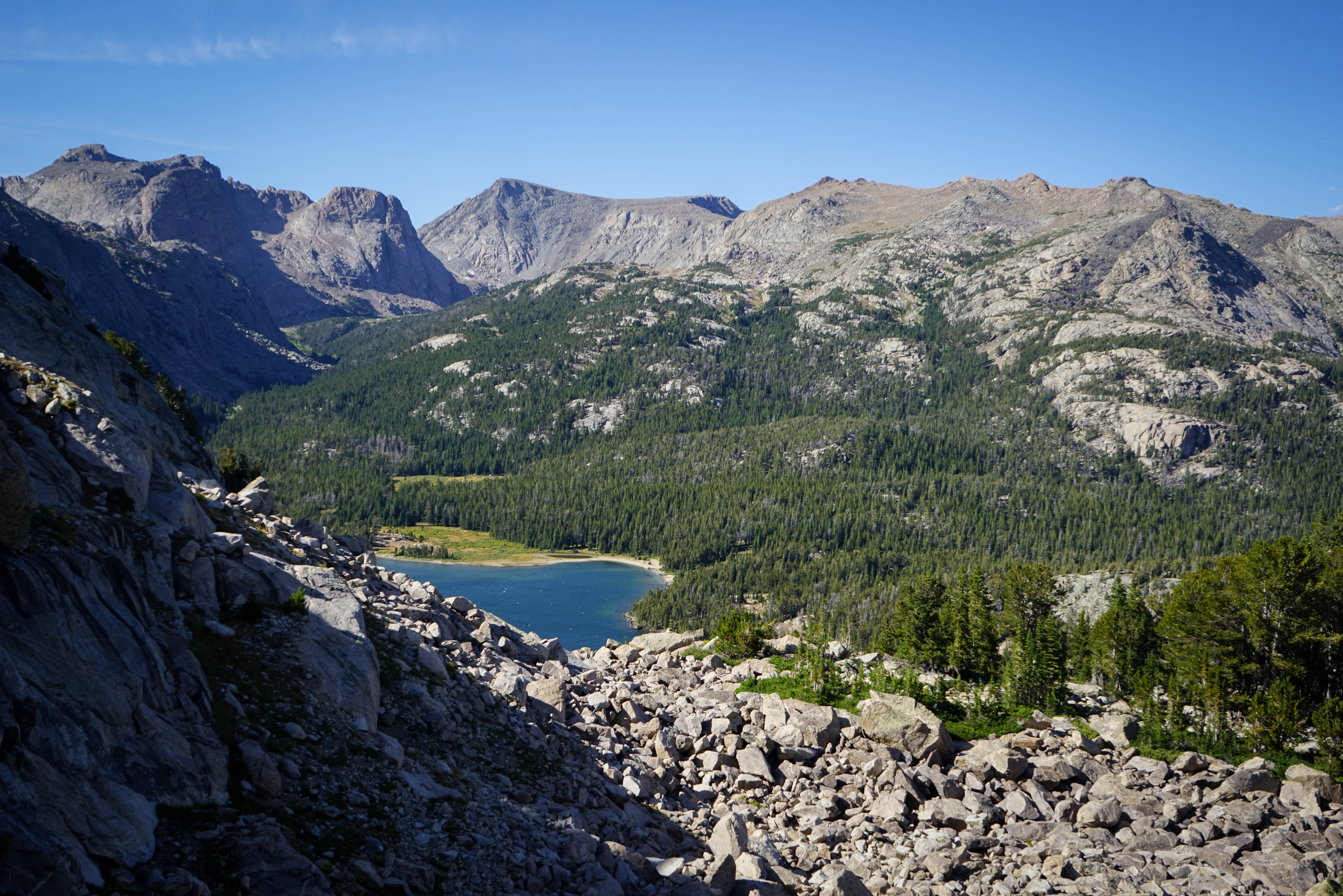
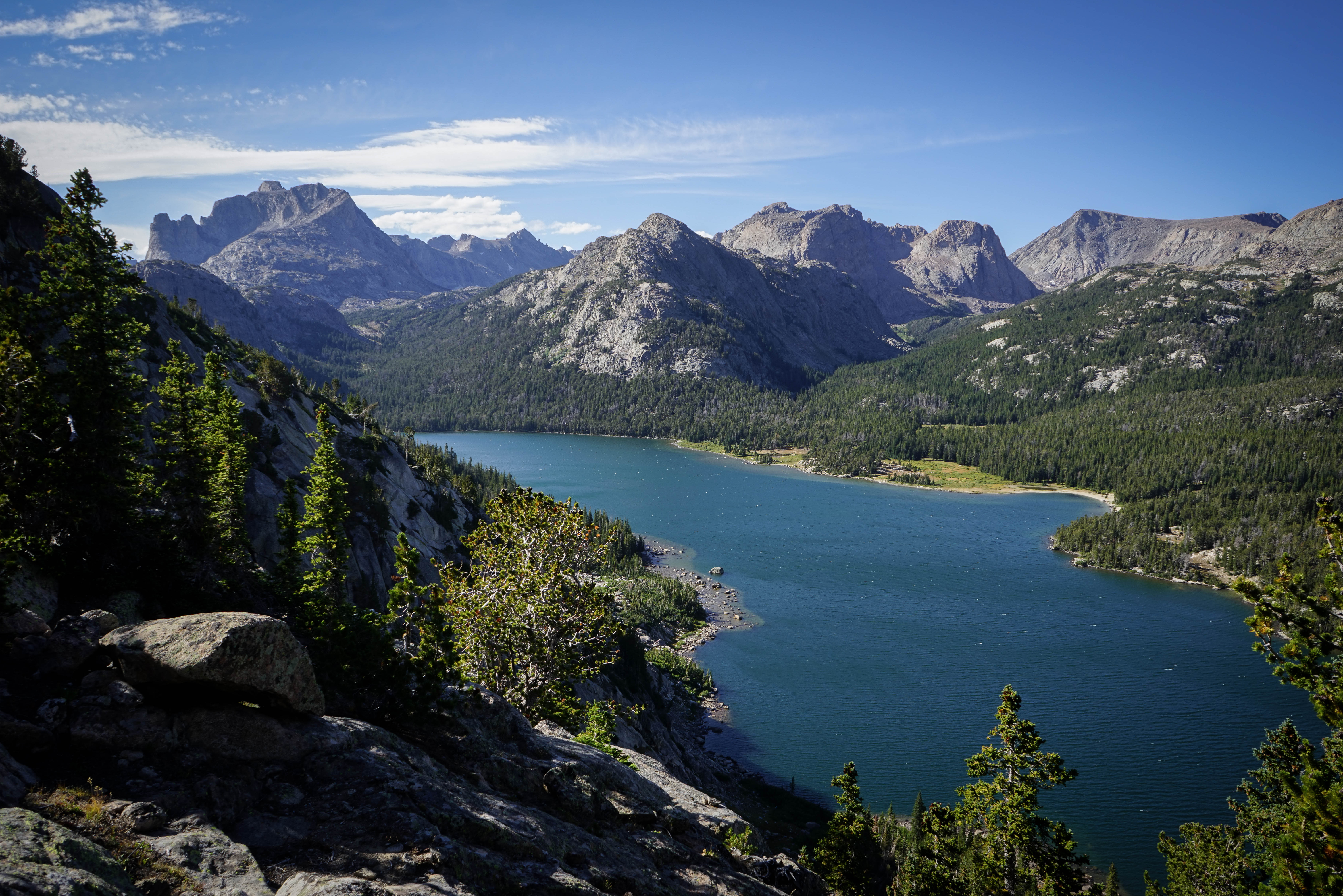
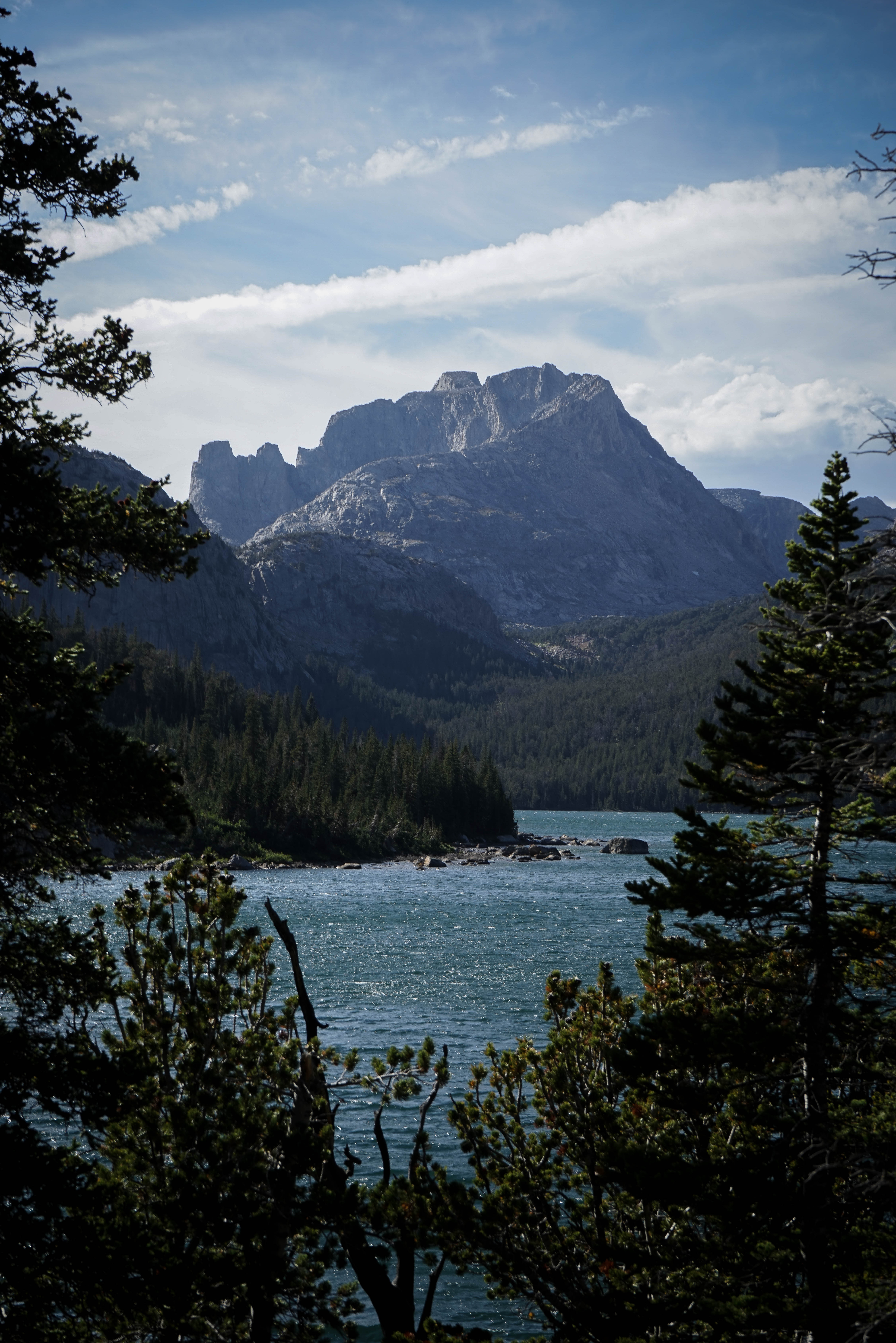
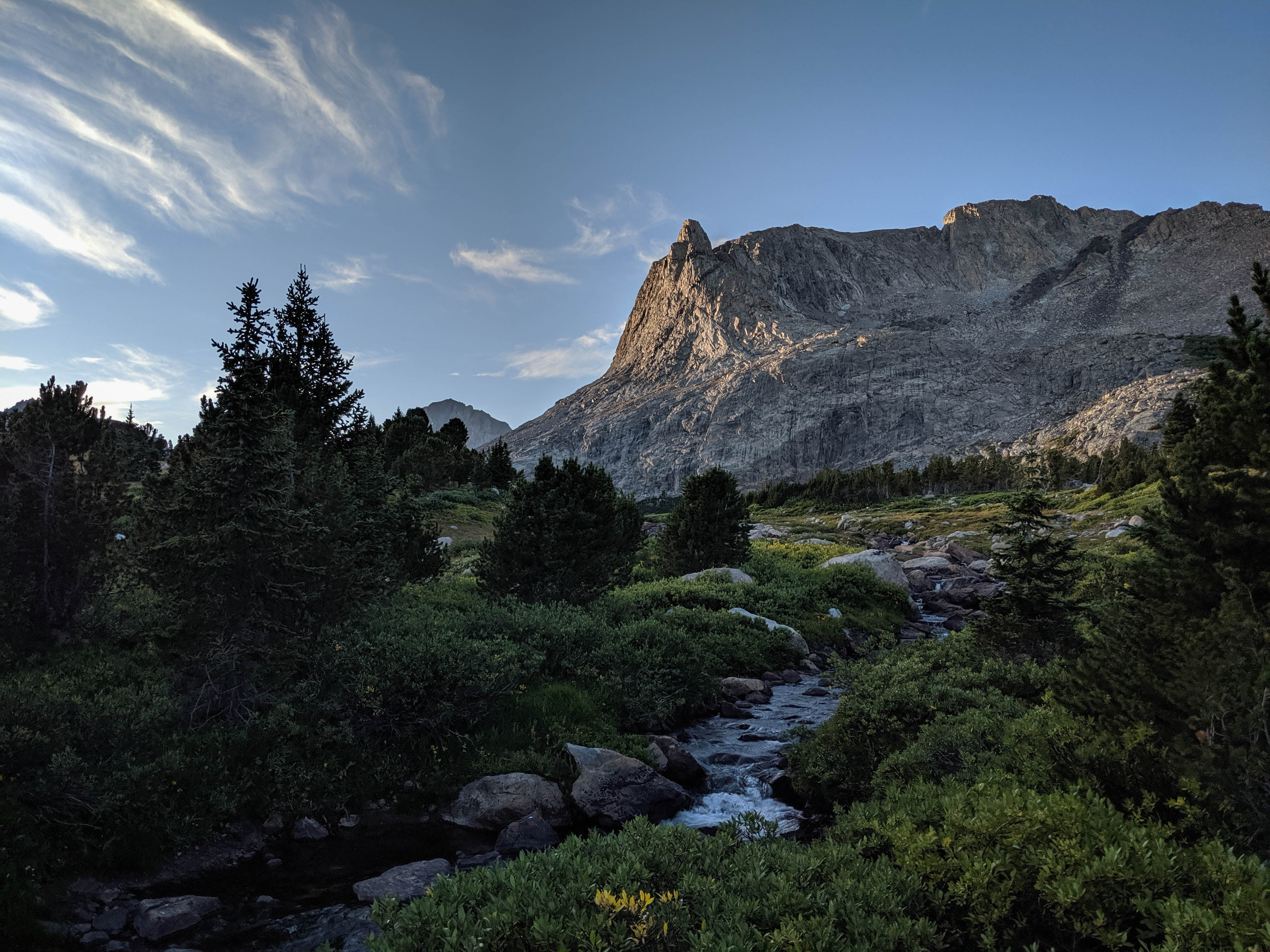
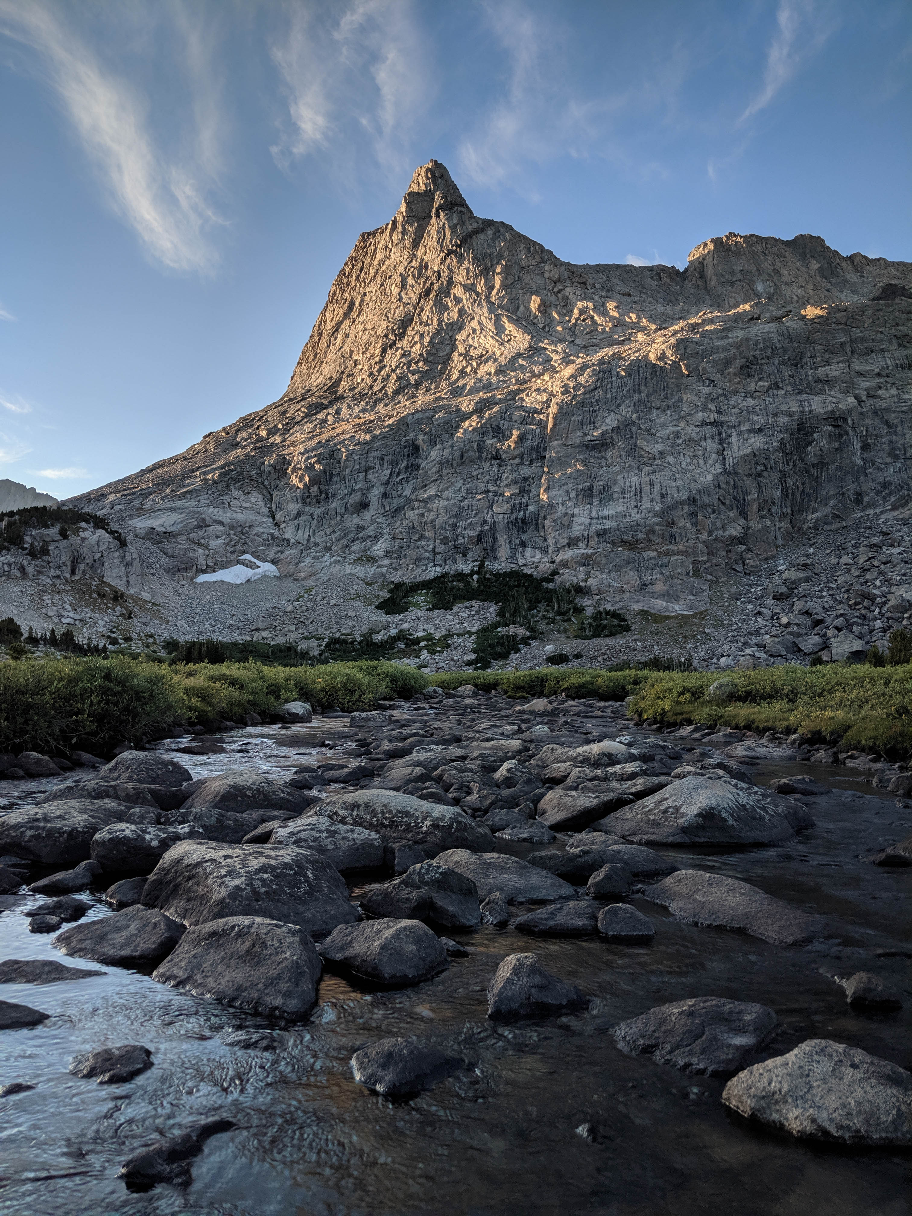
Mount Washakie and Little Washakie Lake from the lake’s outlet.
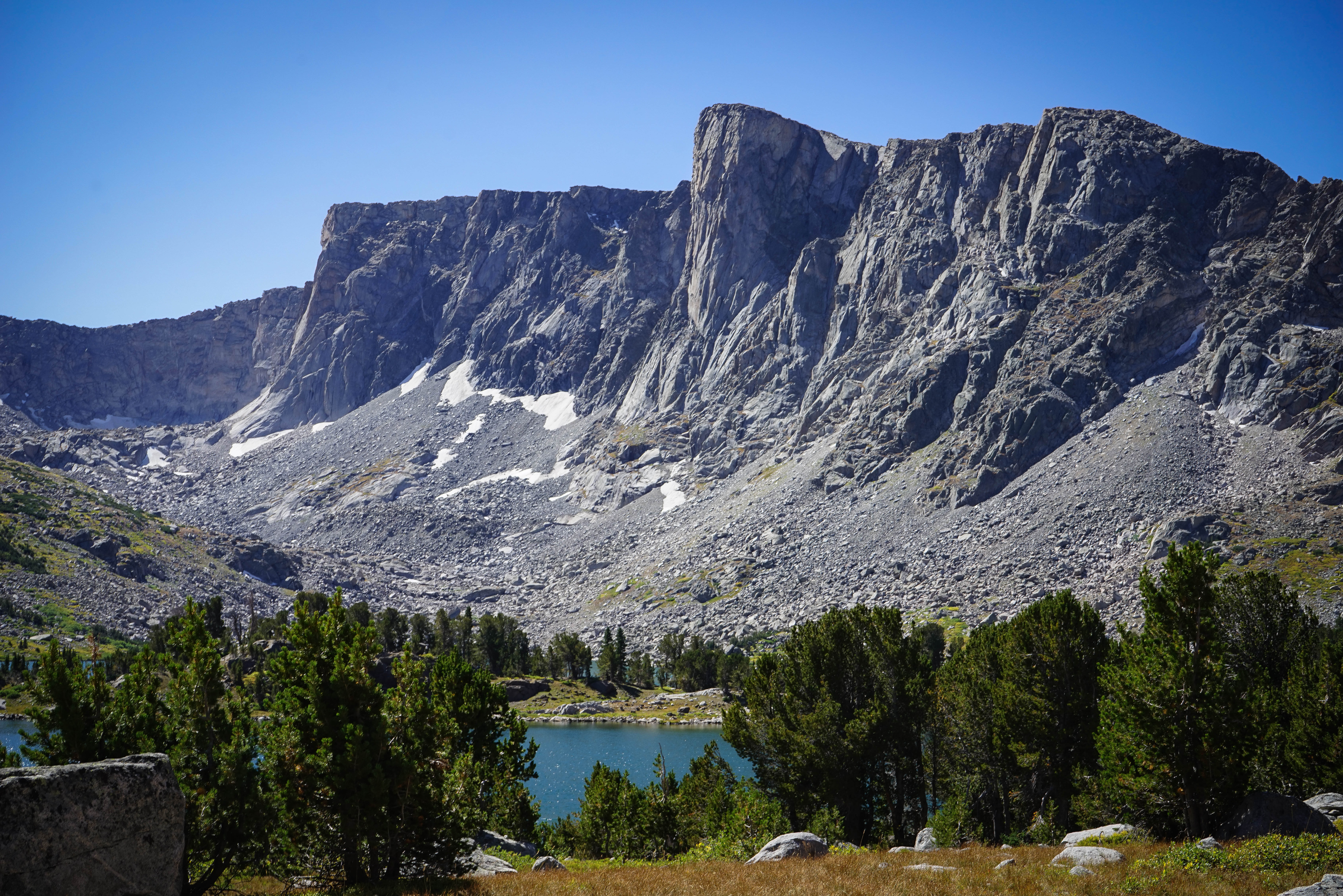
We crossed the lake outlet and quickly found the trail on the other side. Then we stopped for a snack and filled up water bottles before the steep climb to the pass above Lock Leven.
Climbing towards the pass north of Lock Leven. The final 400 feet or so of the climb crossed through a small forest that we had to skirt.
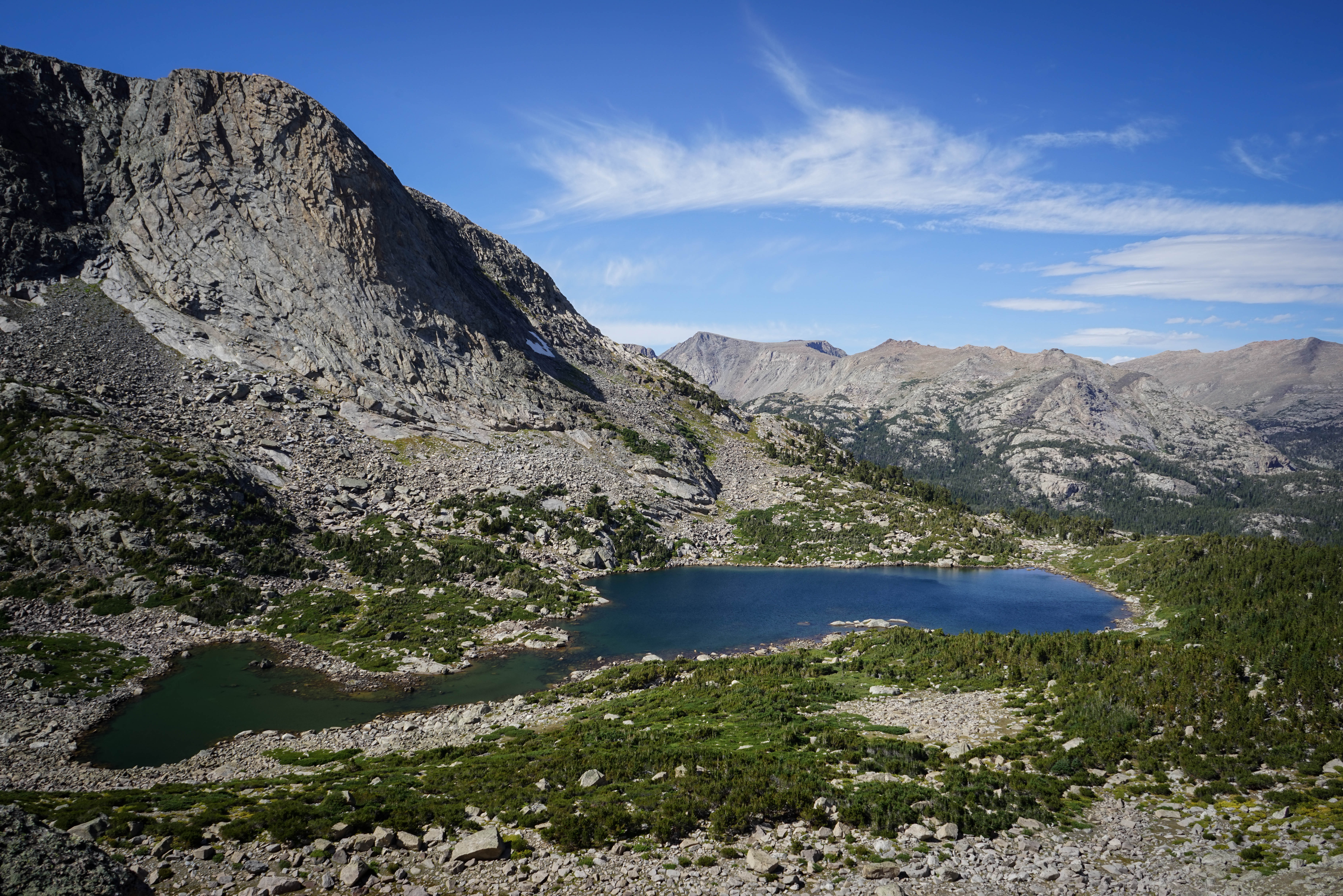
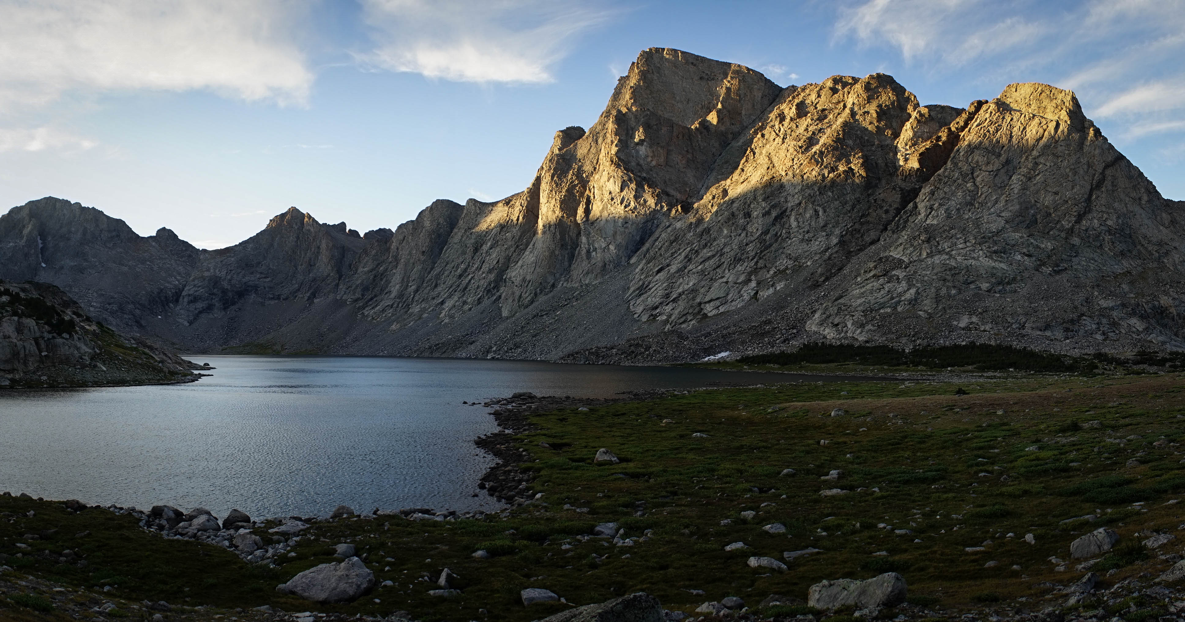
The view of Payson Peak and Washakie Lake from the pass.
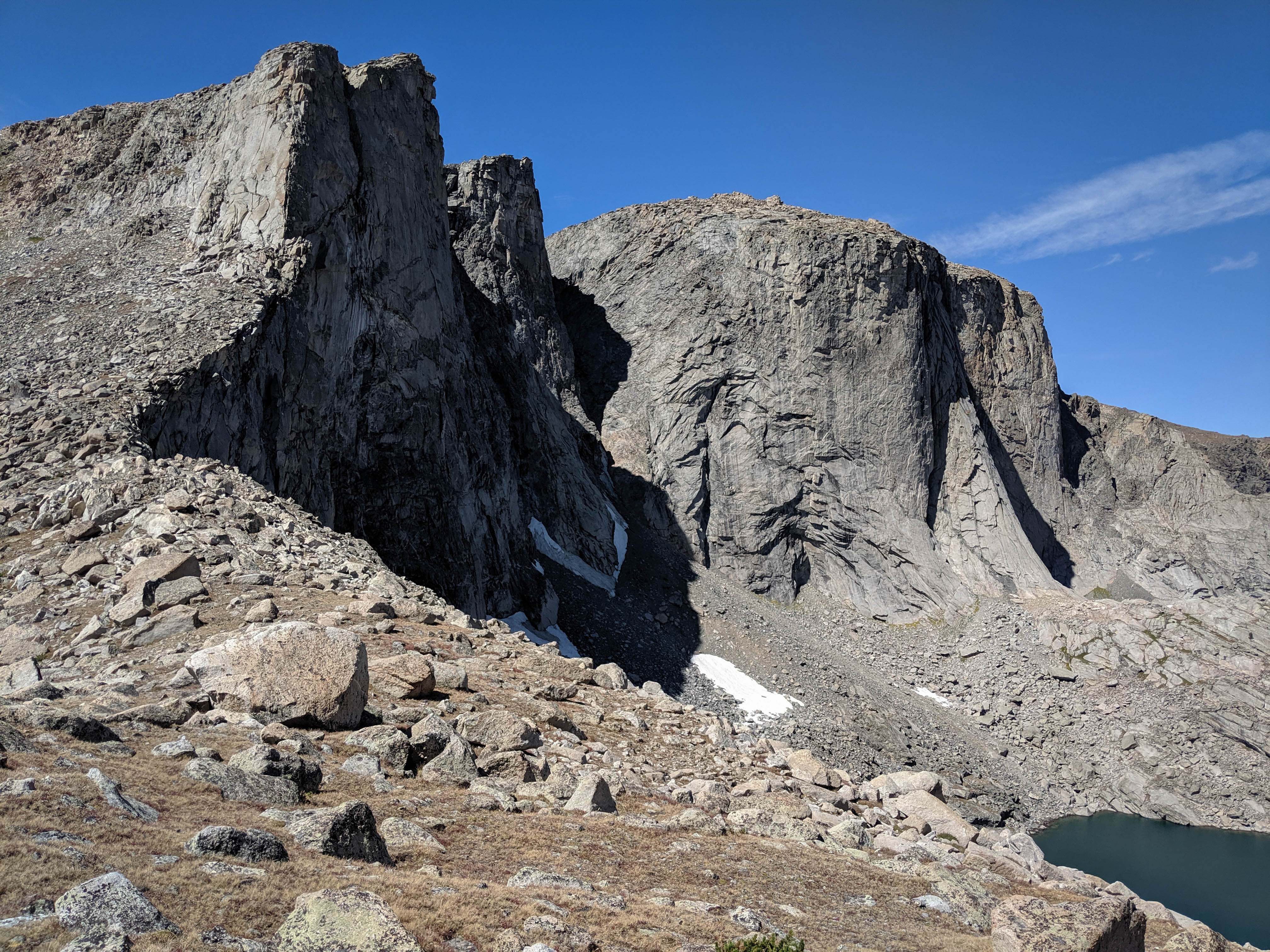
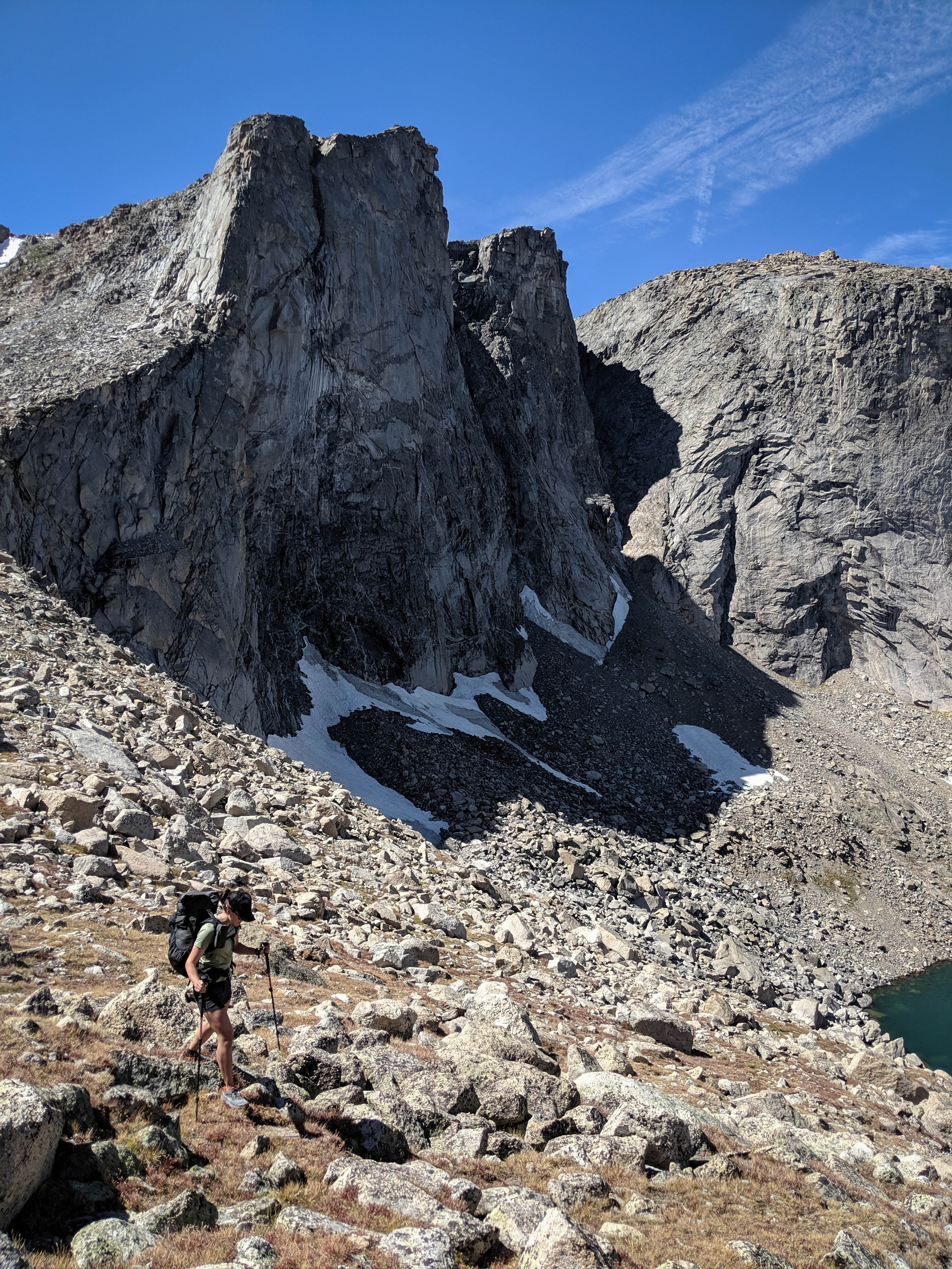
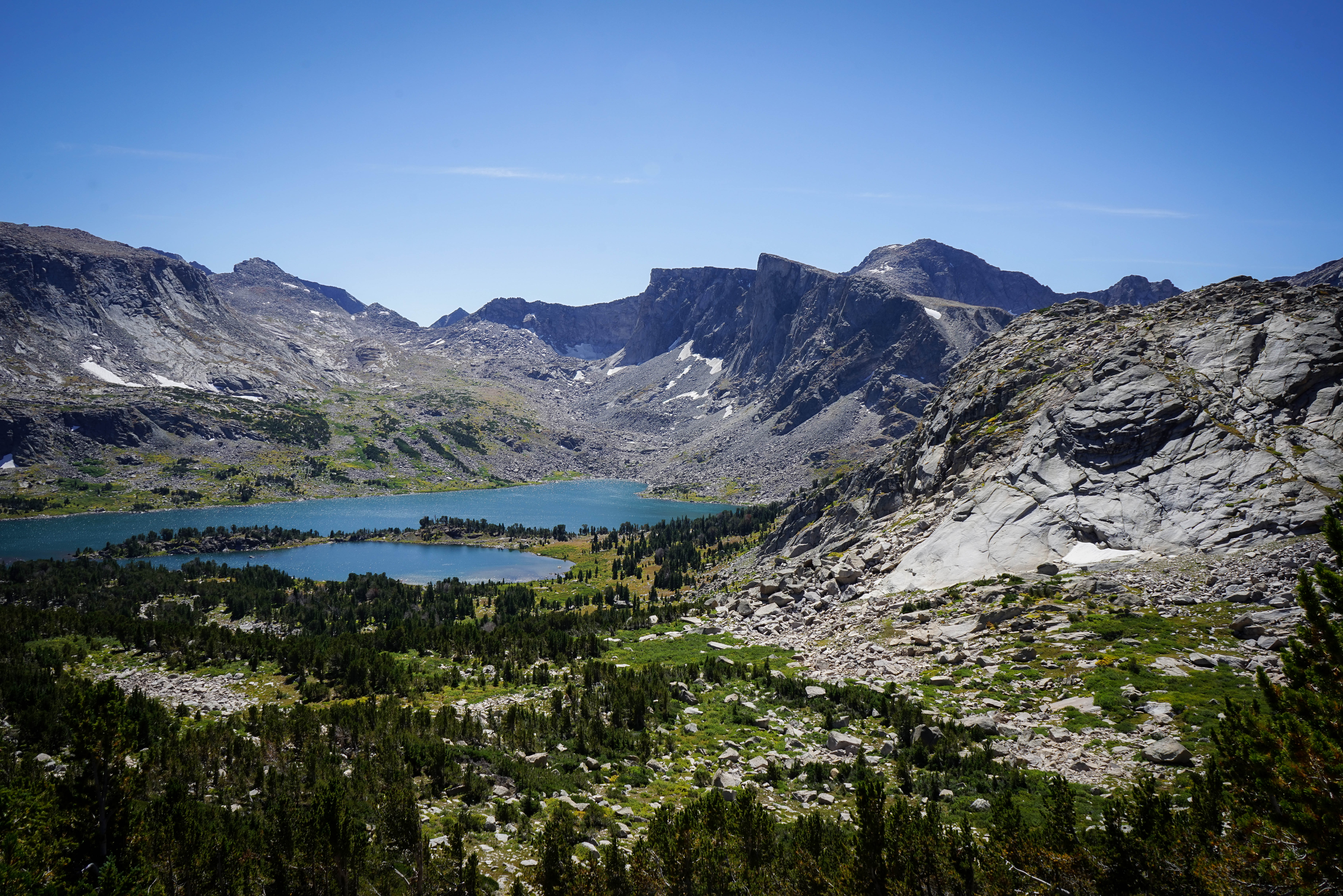
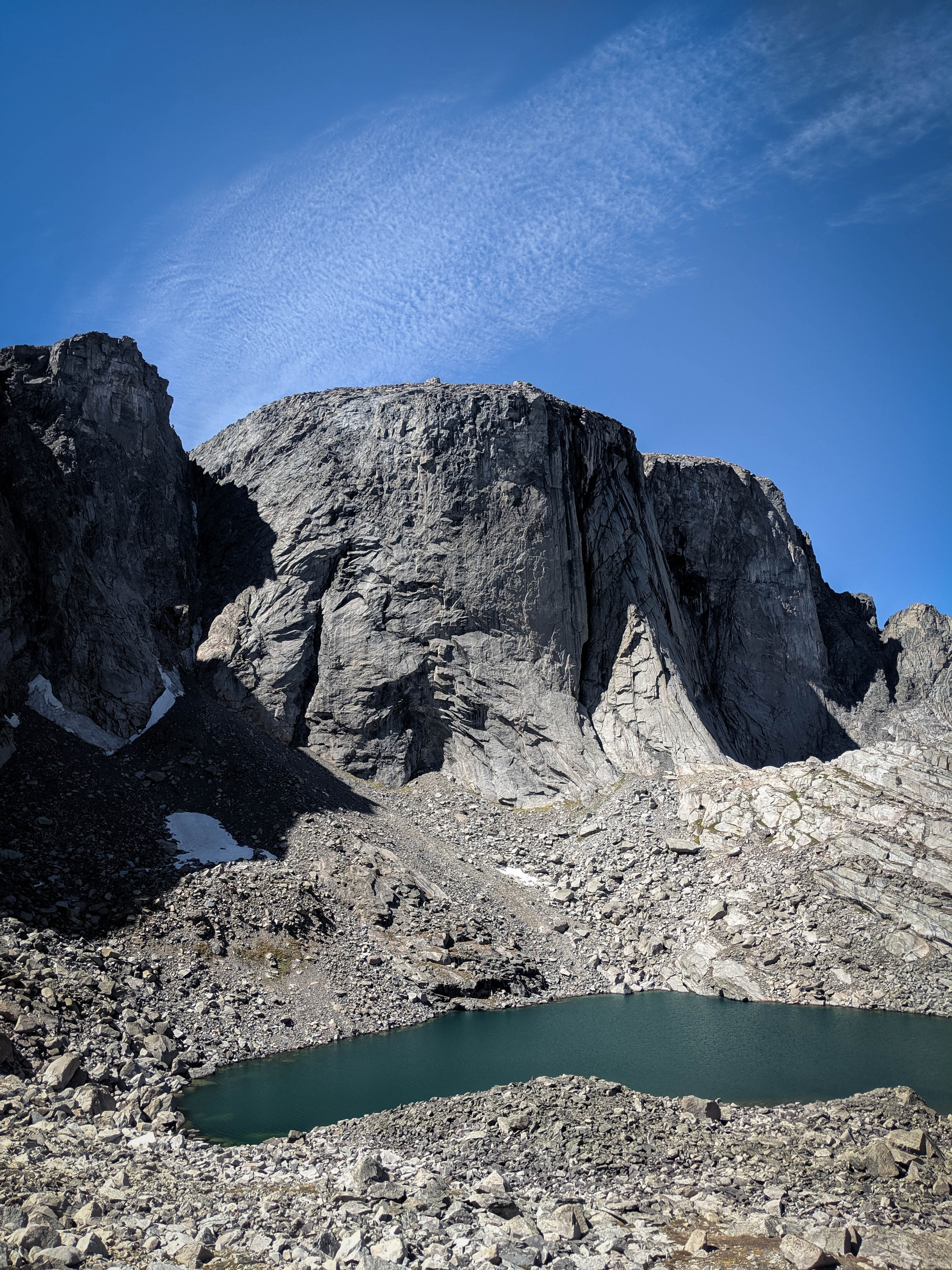
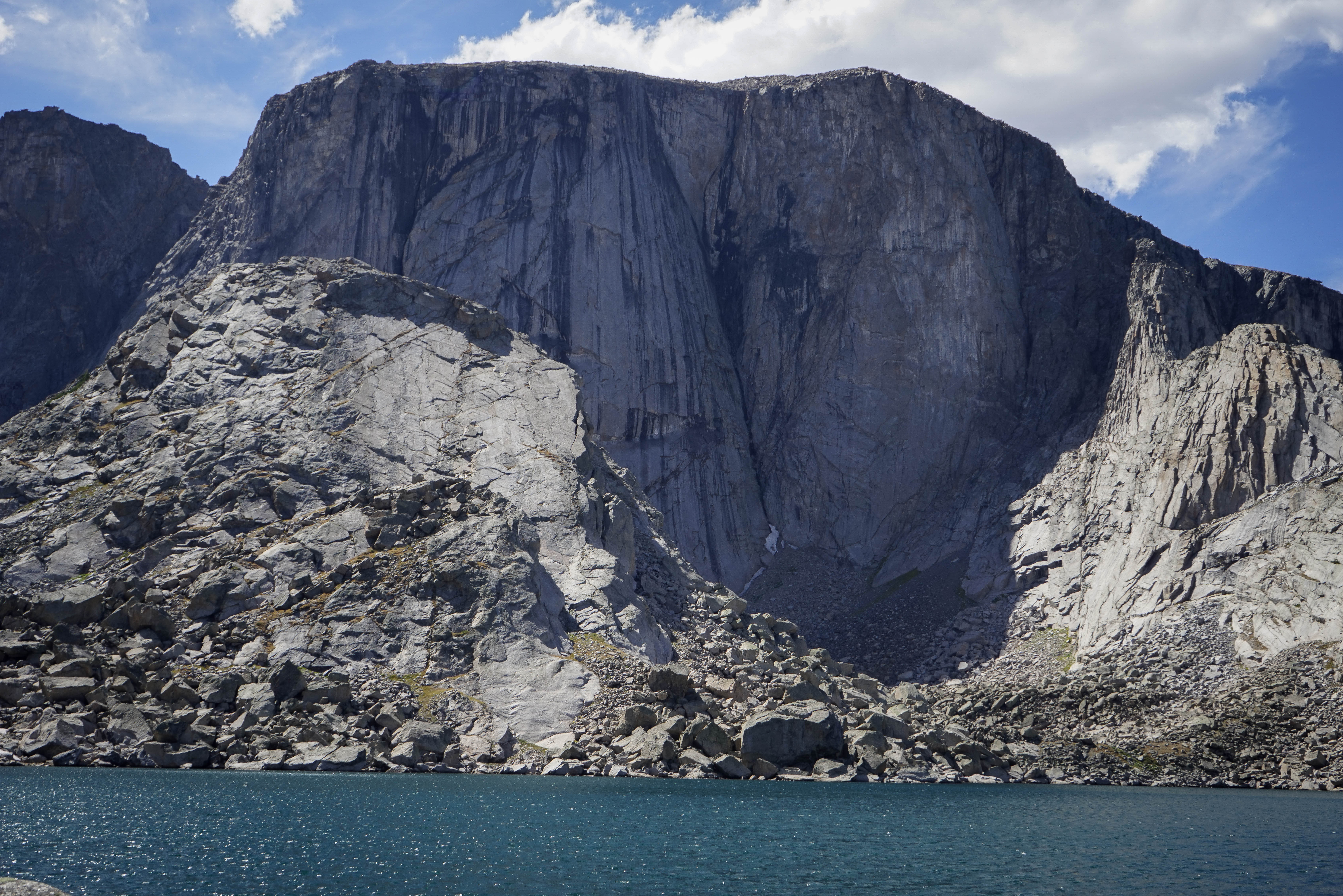
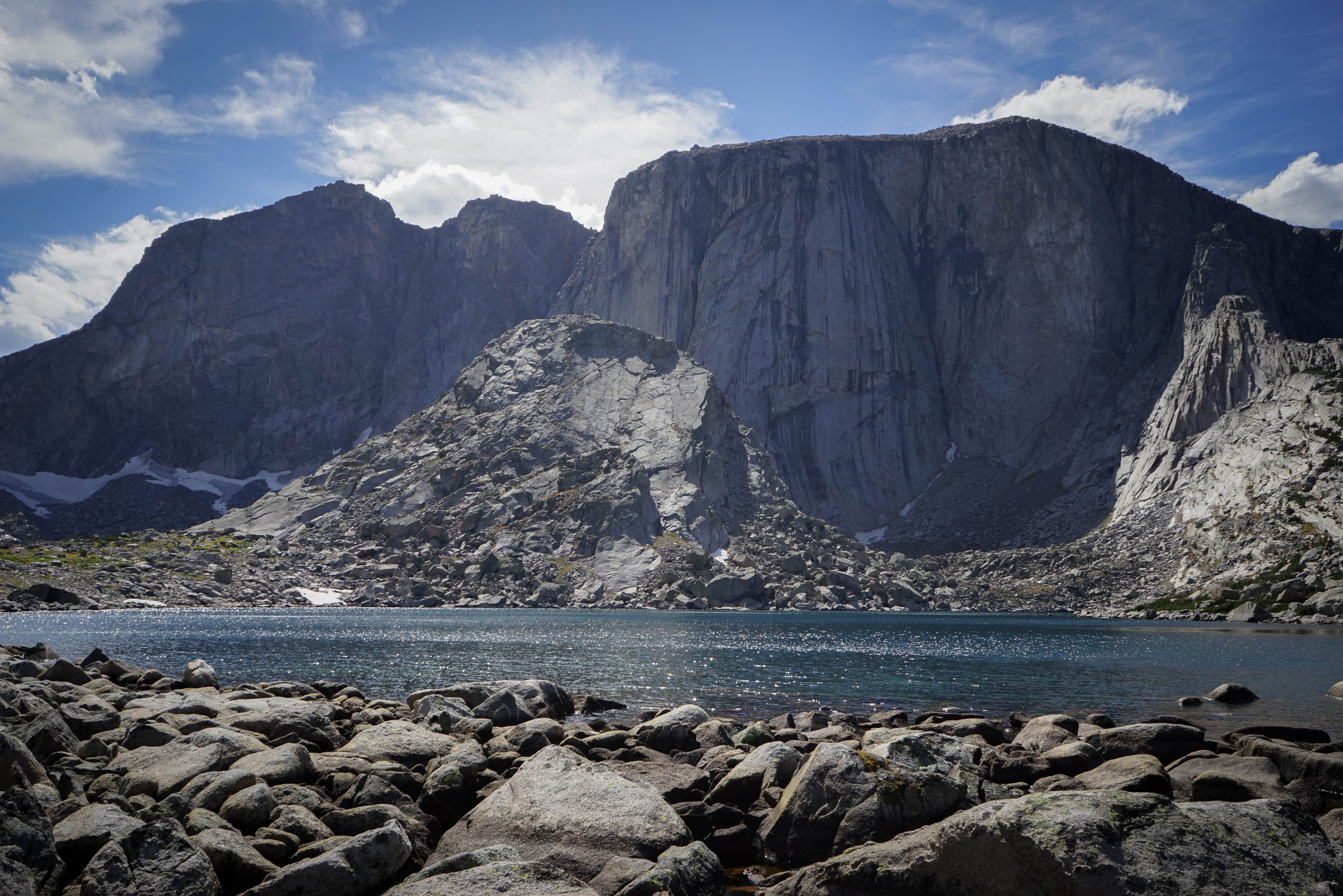
The cliffs above Spearpoint Lake.

On the descent from the pass, we found an elk trail that went most of the way to Lake 10682. The views of the thousand-foot walls above the lakes were awesome.
Views from our lunch spot near the outlet of Spearpoint Lake.
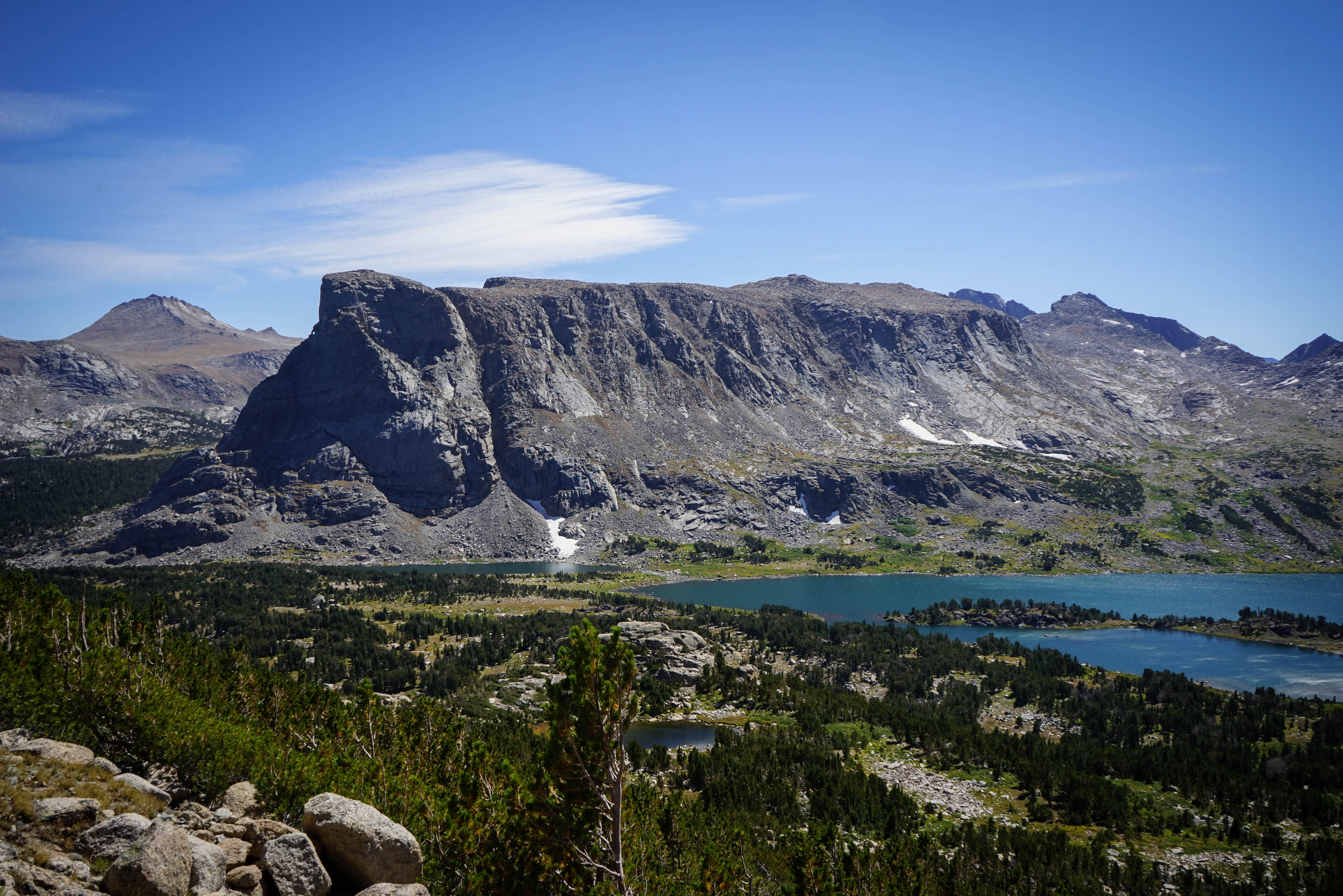
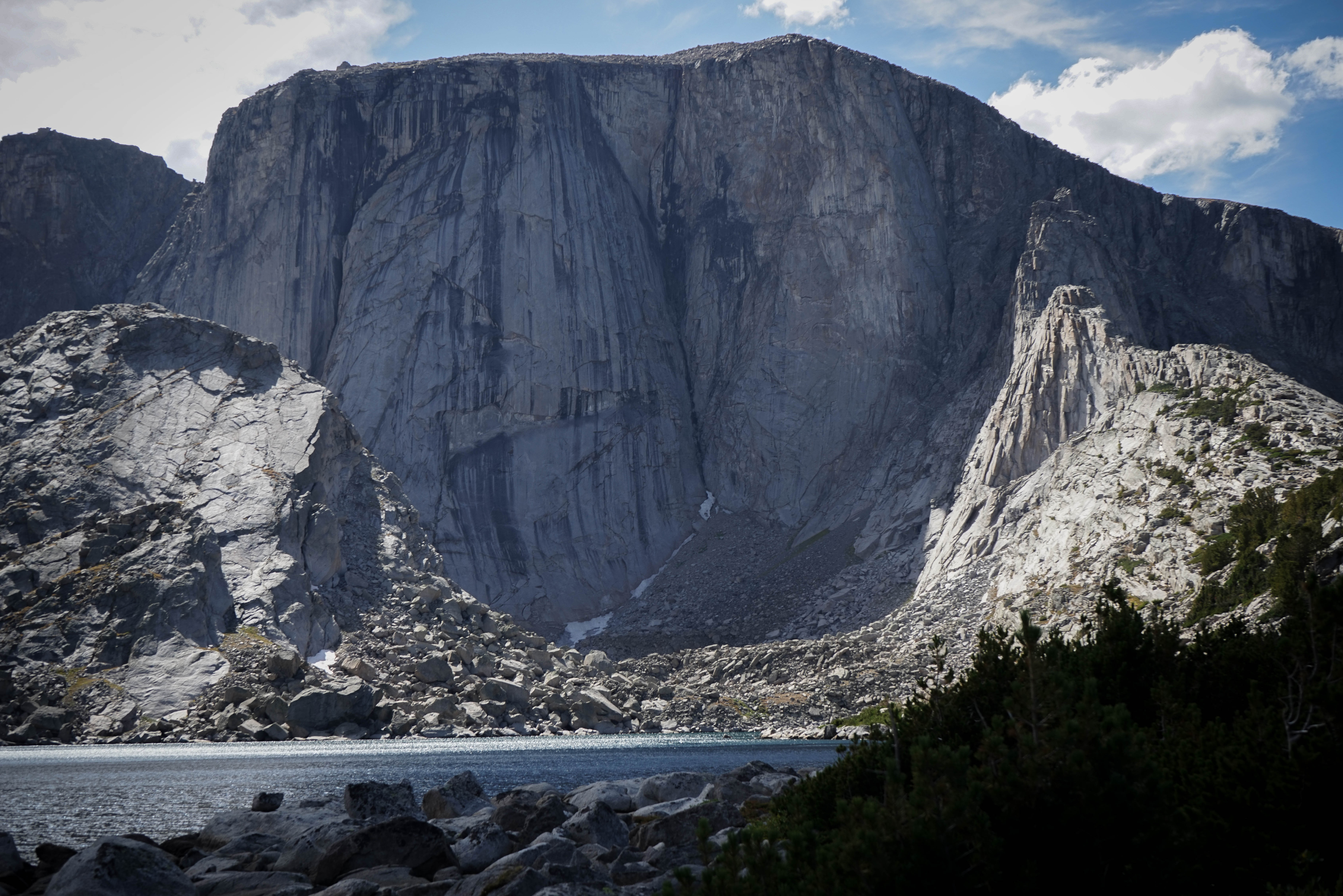
The craggy ridge that separates Spearpoint Lake and Lock Leven. The pass we crossed is at the far right of this photo.
One more shot of the sheer cliff above Spearpoint Lake.
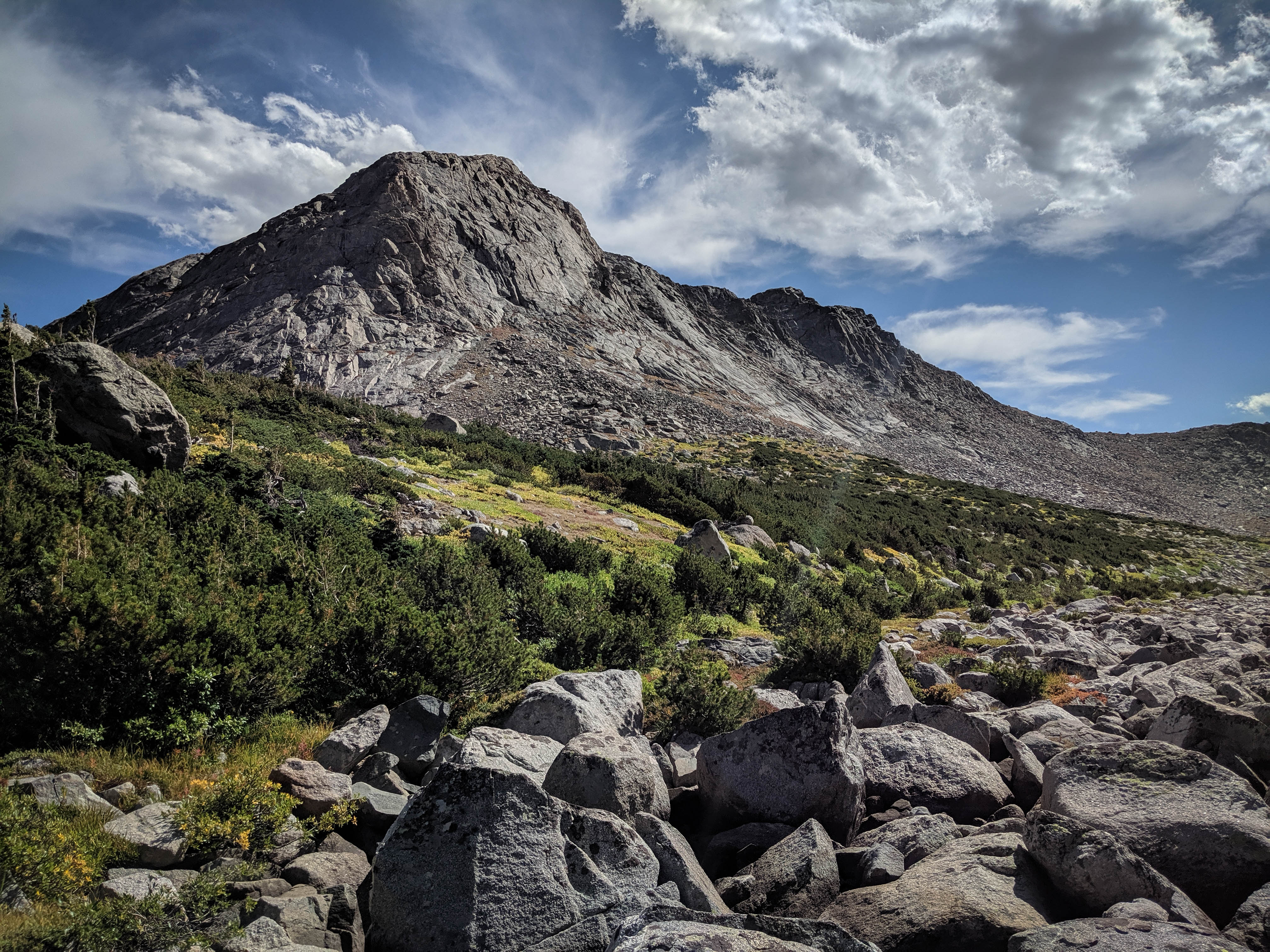
The climb to the next little pass north was short.
The descent was a little bit trickier, with some talus and ramps leading into shrub brush that we couldn’t find a good way around. The views of this basin were fantastic, but the sun was directly above the peaks at the head of the basin, so I wasn’t able to get any good photos.
After filtering a bit more water and eating a quick snack, we continued on. We were almost finished with the off-trail portion of the day, with just one section left to the trail around Grave Lake. We had two options to get there, we could follow the creek down gullies to the trail, or try and follow the timberline directly north to the shore of the lake. We made our way to the large bench at 10,400’ to scope both options. The timberline route looked better, as the creek route had a few steep drops and quickly entered the forest. Here’s the view from the top of one of the talus piles we had to descend to get to Grave Lake, the tip of which is just visible.
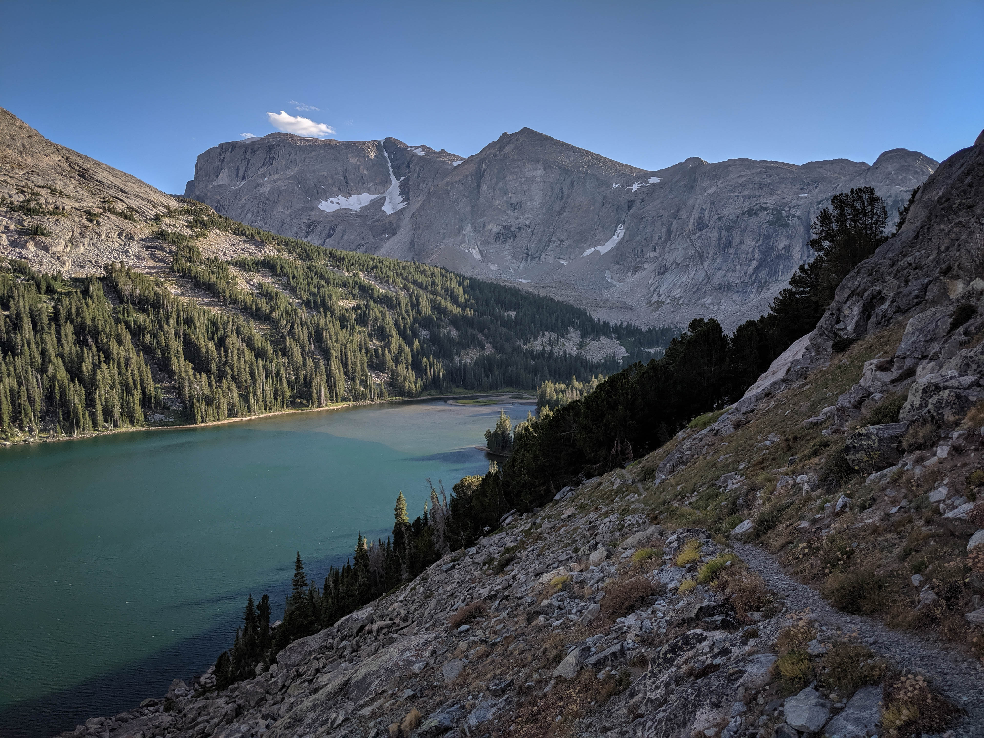
The massive Grave Lake from one of the talus gullies leading down from Lake 10490.
Musembeah Peak framed by trees from the shore of Grave Lake.
The going was quite slow from Lake 10490 to Grave Lake, with a number of steep talus gullies and cliff bands to negotiate. But eventually we hit a nice sandy beach which was right next to the trail. After that, the walking became much easier.
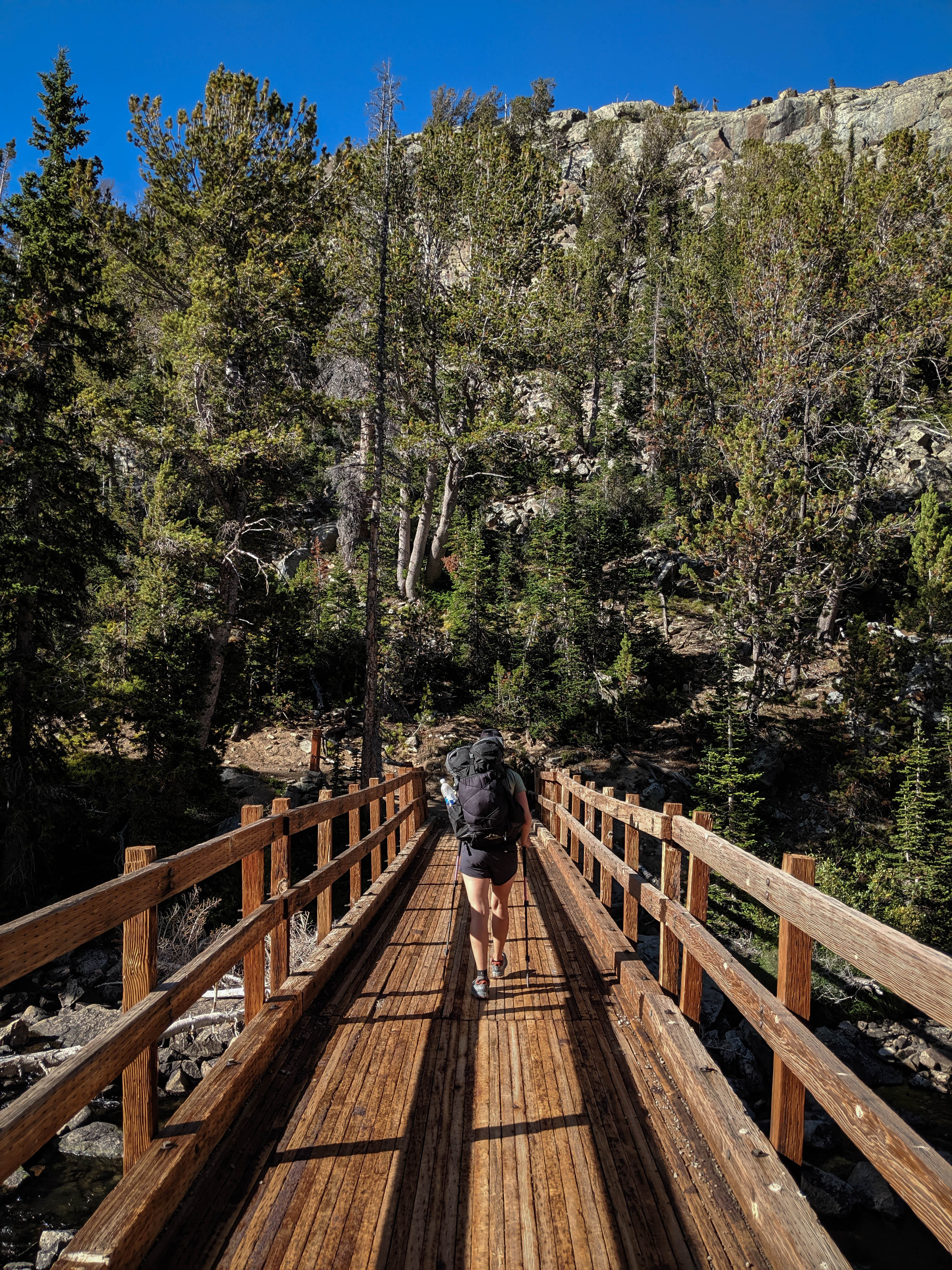
The trail along Grave Lake crosses this impressively well constructed bridge across Grave Creek. I didn’t expect to see anything so well built this deep in the Winds.
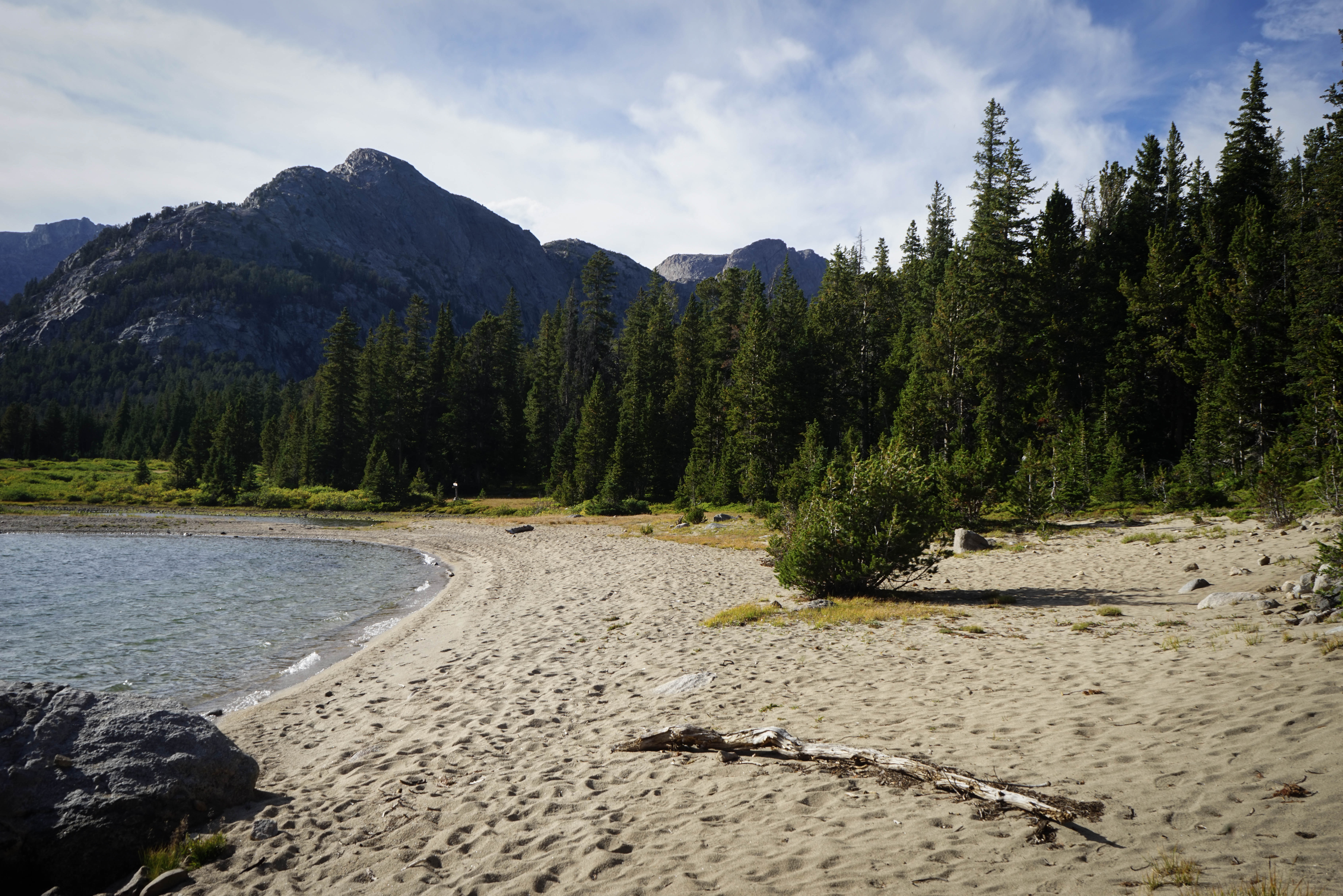
We stopped for a lunch break on this big sandy beach on the shore of Grave Lake. Near here we encountered a group of men out on a fishing trip, they were having a fantastic time.
Shortly after the beach, the trail climbed above the shore of the lake near Pilot Knob to get around some cliffs bands.
Our first up-close views of Mount Hooker, after a climb away from the inlet to Grave Lake.
Musembeah Peak above Baptiste Creek.
Panorama shot of the stunningly beautiful Baptiste Lake. We arrived in the middle of golden hour and found the scenery even more impressive than we expected.
Shannon hiking towards the best looking area of camping, the light forest on the southwest side of Baptiste Lake. We found a couple of other groups camped in the trees here, but there was plenty of room to set up our own little area.
Last light of the day on the immense face of Mount Hooker.
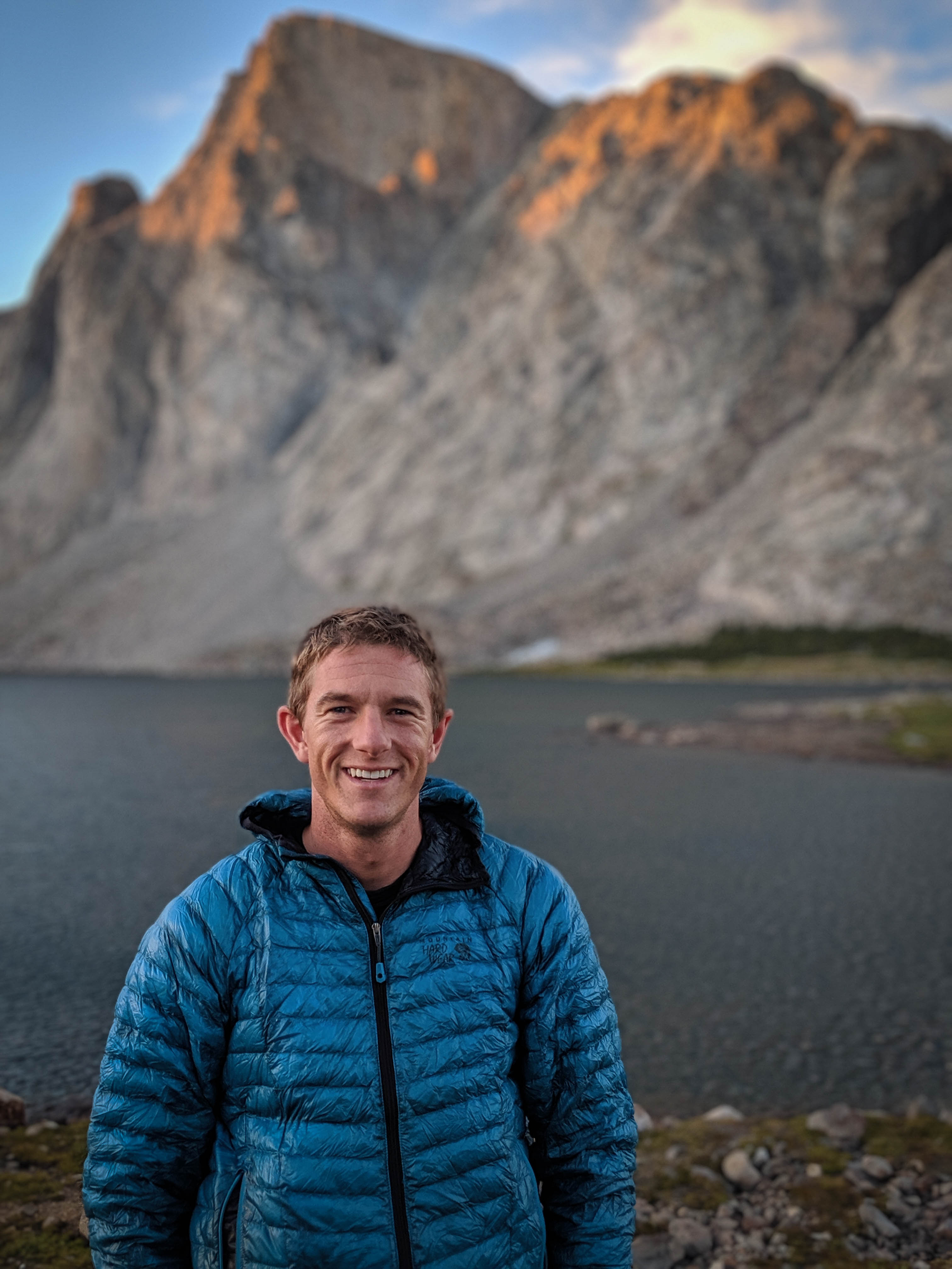
Enjoying a little photoshoot after a difficult, but very fun day.
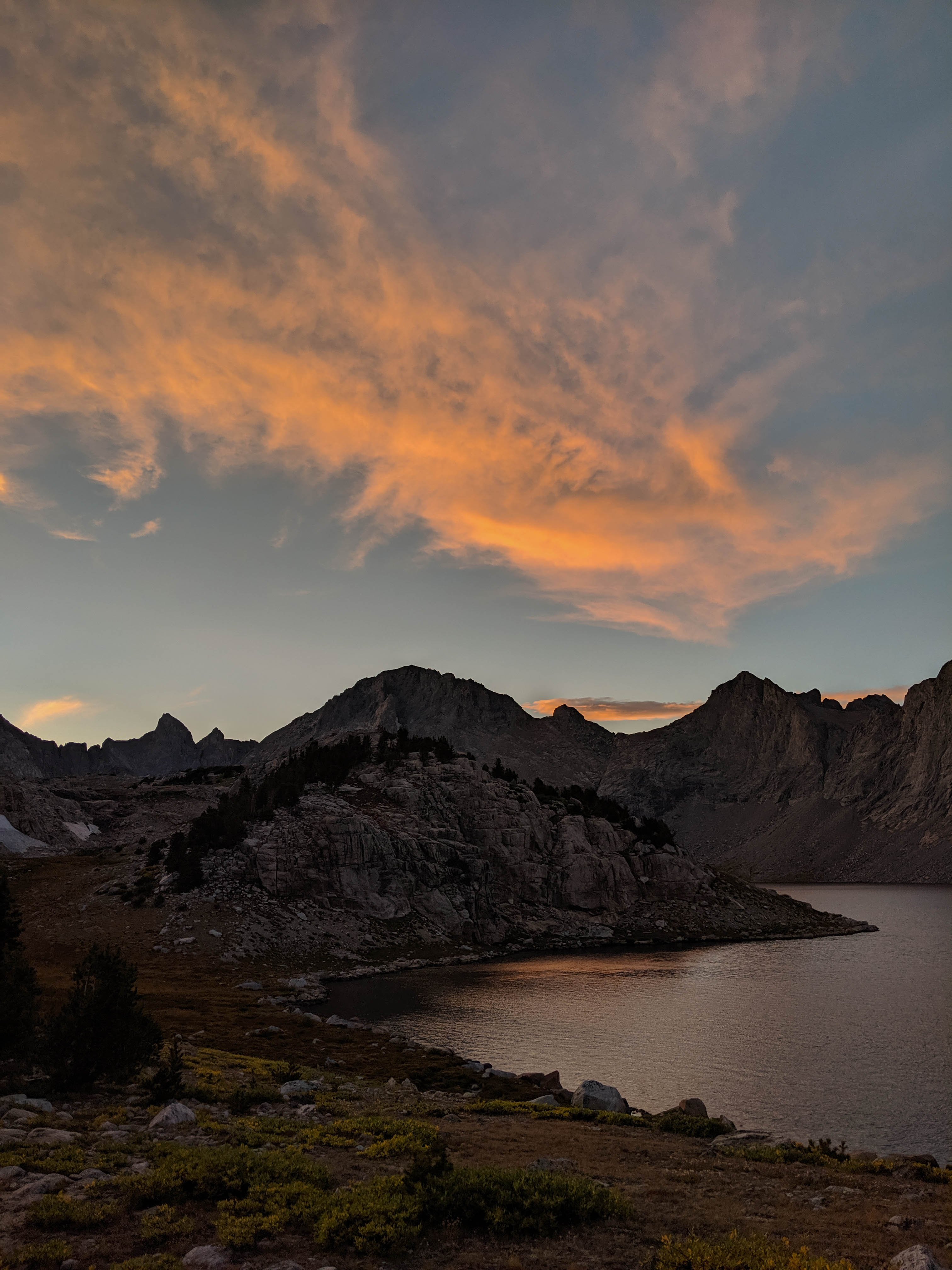
The fantastic sunset only enhanced the already amazing scenery.
After making it about as far as we had hoped for the day, we planned to go back down the trail a mile and then leave the trail for the headwaters of Grave Creek, crossing Roberts Passes 1 and 2 to Roberts Lake. This stretch was supposed to be somewhat difficult, with a good amount of talus. Depending on timing, we would then continue over Wykee Pass to Lake Polaris and the Little Wind River drainage.