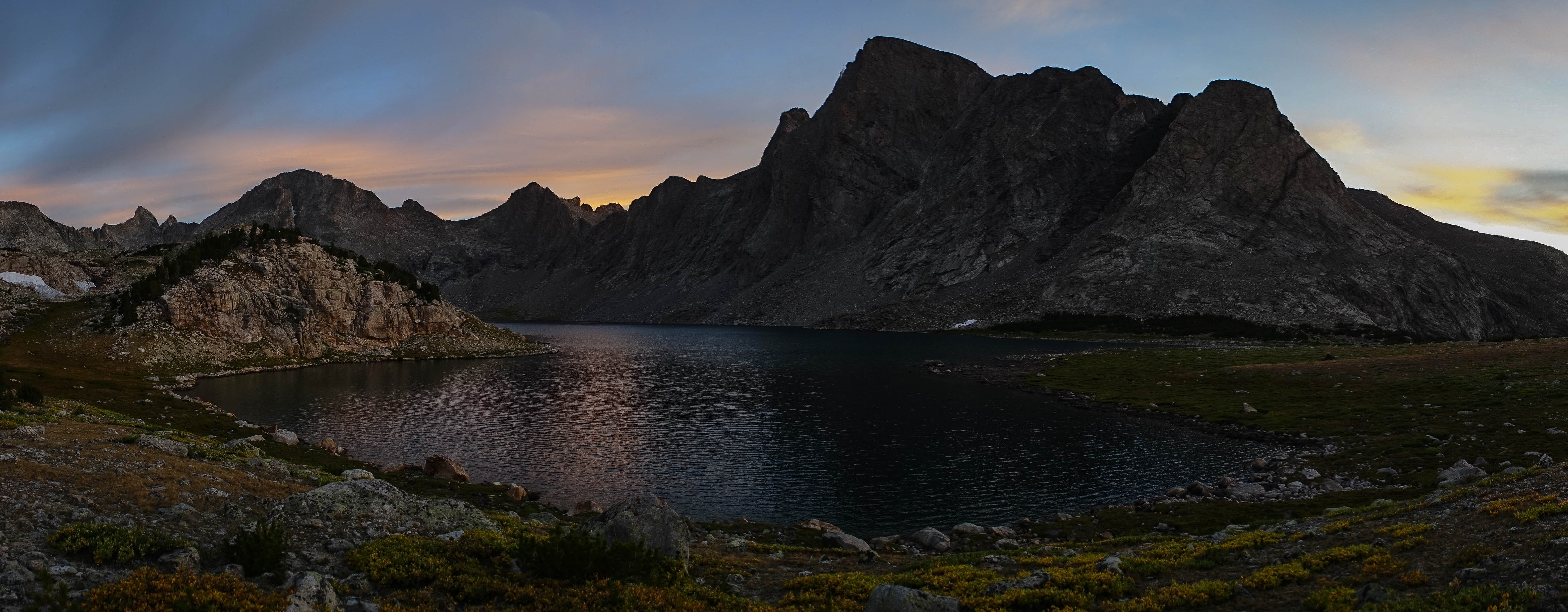
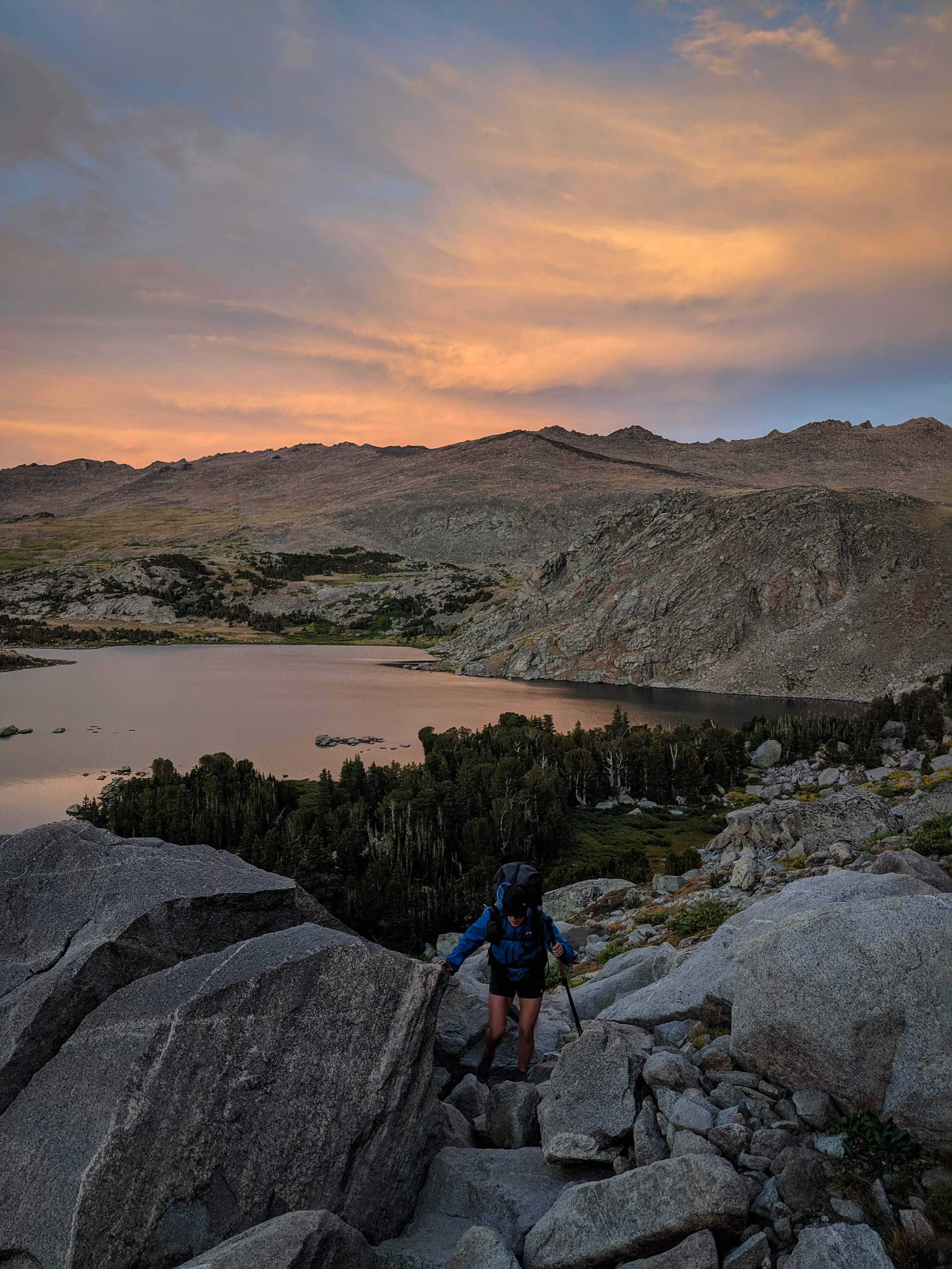
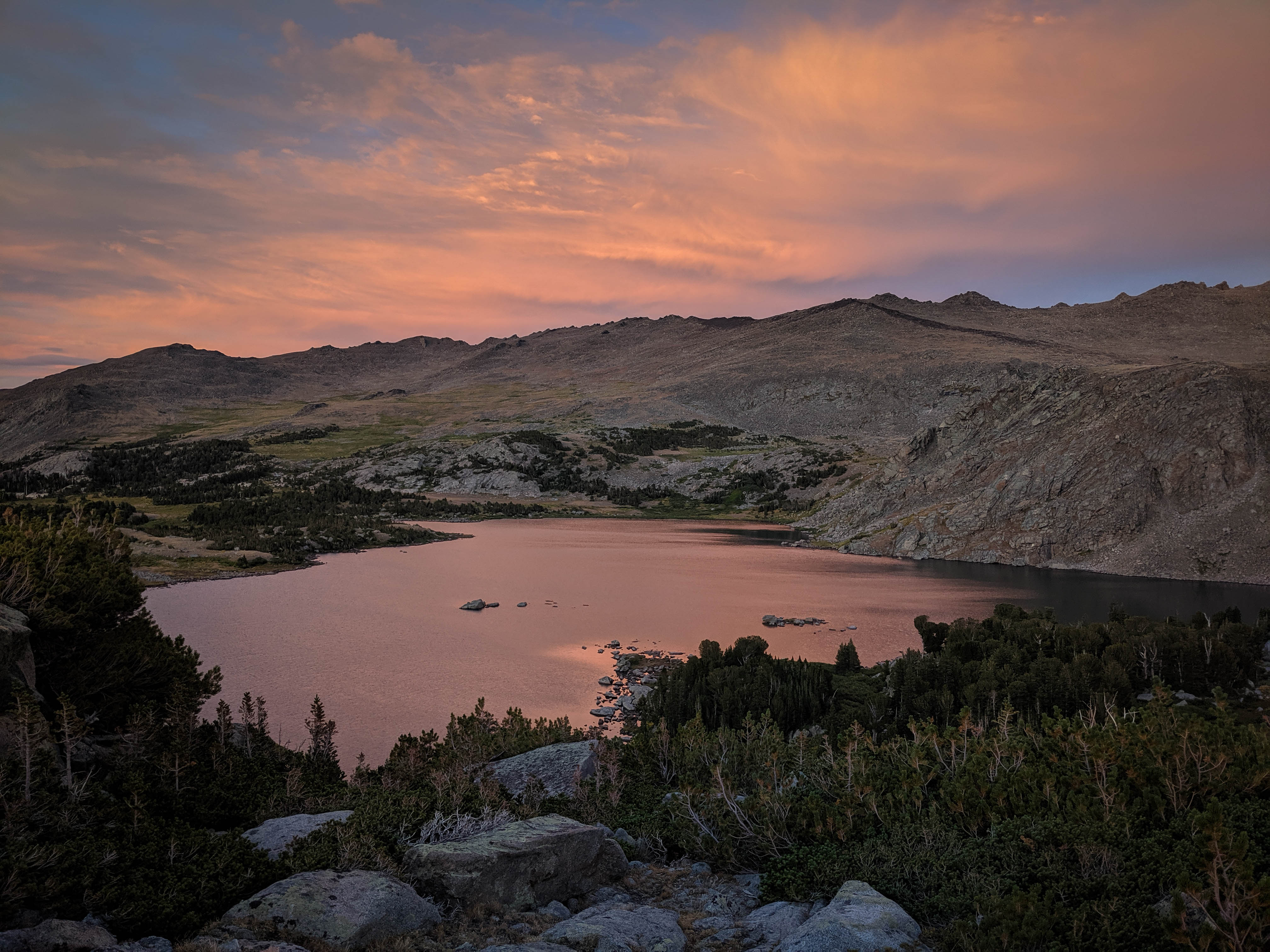
Beautiful sunrise photos of Baptiste Lake and its surroundings.
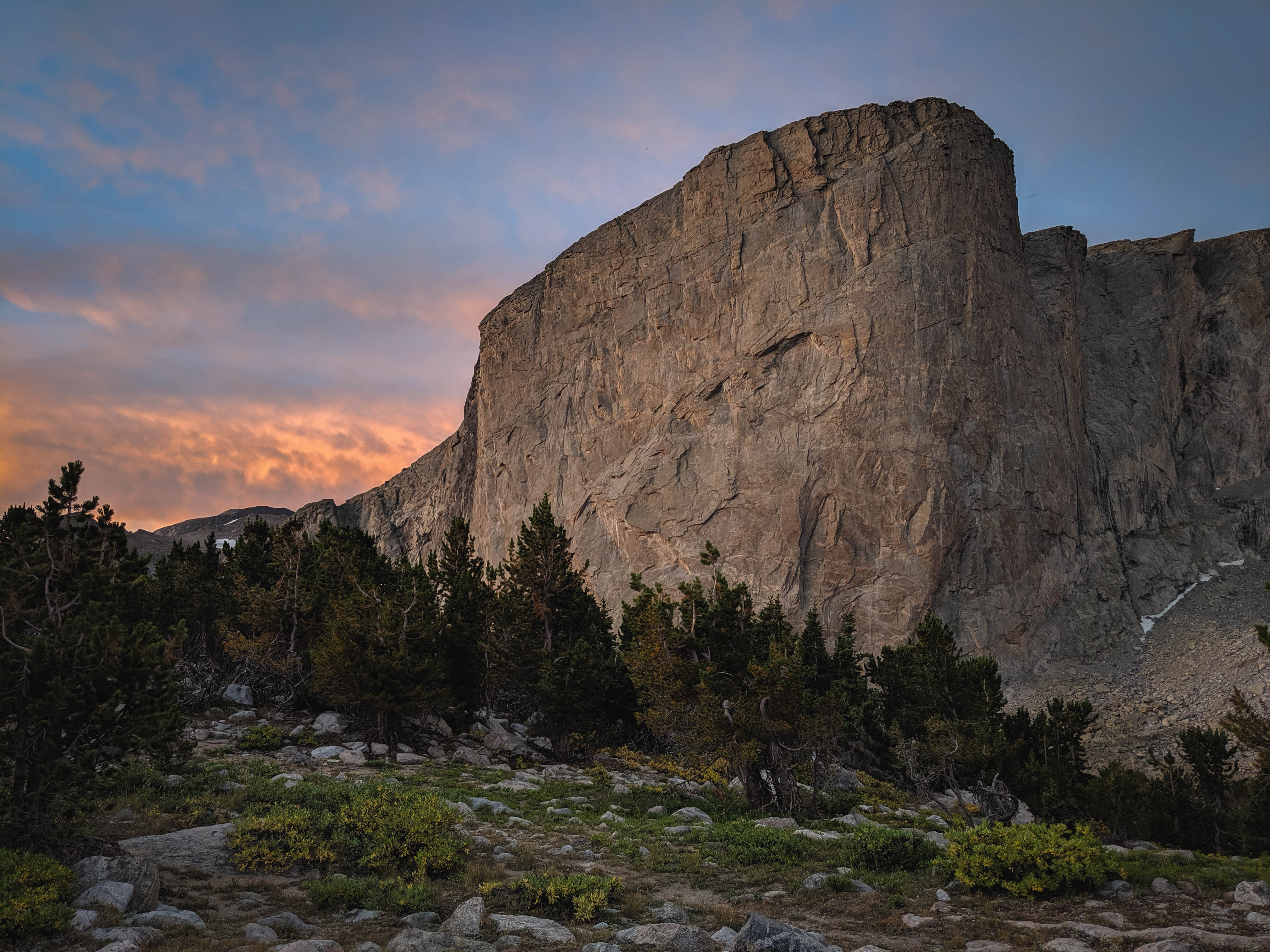
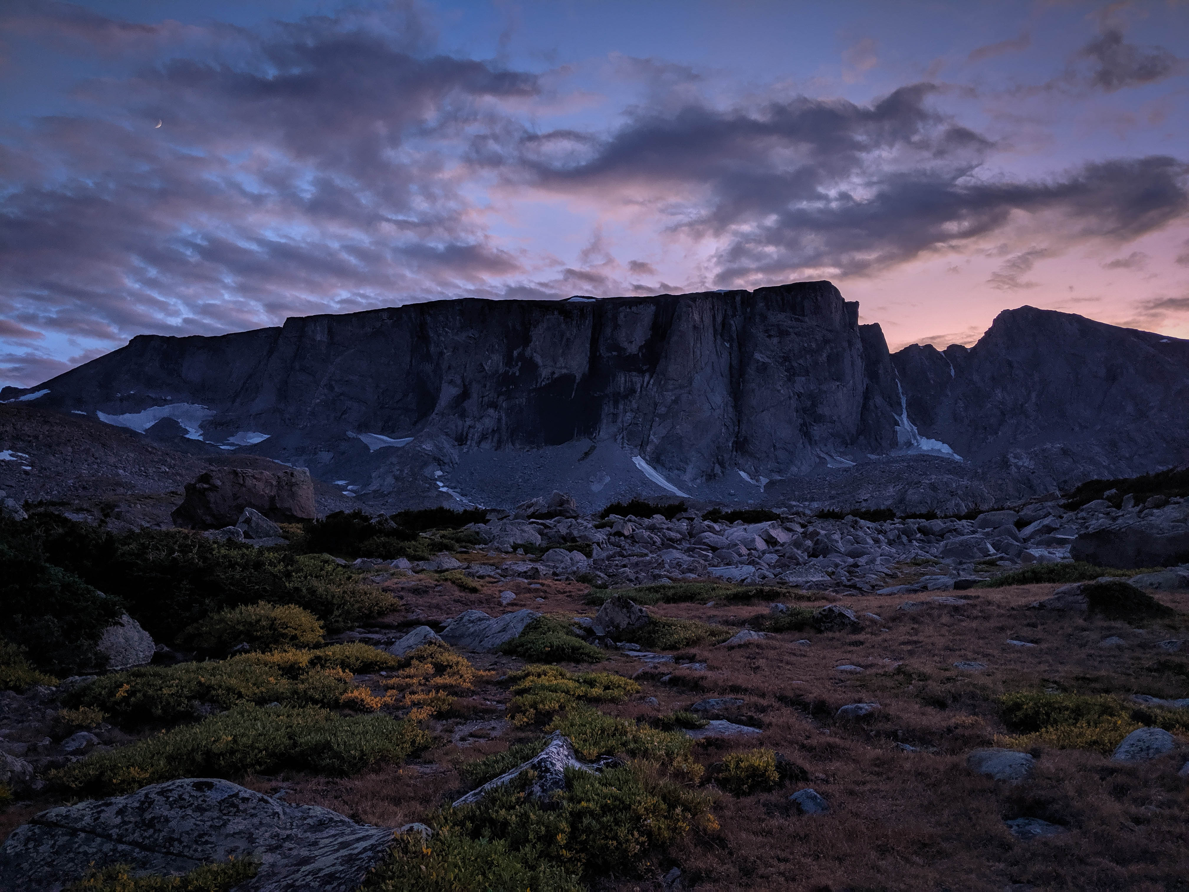
Mount Hooker bathed in early morning light.

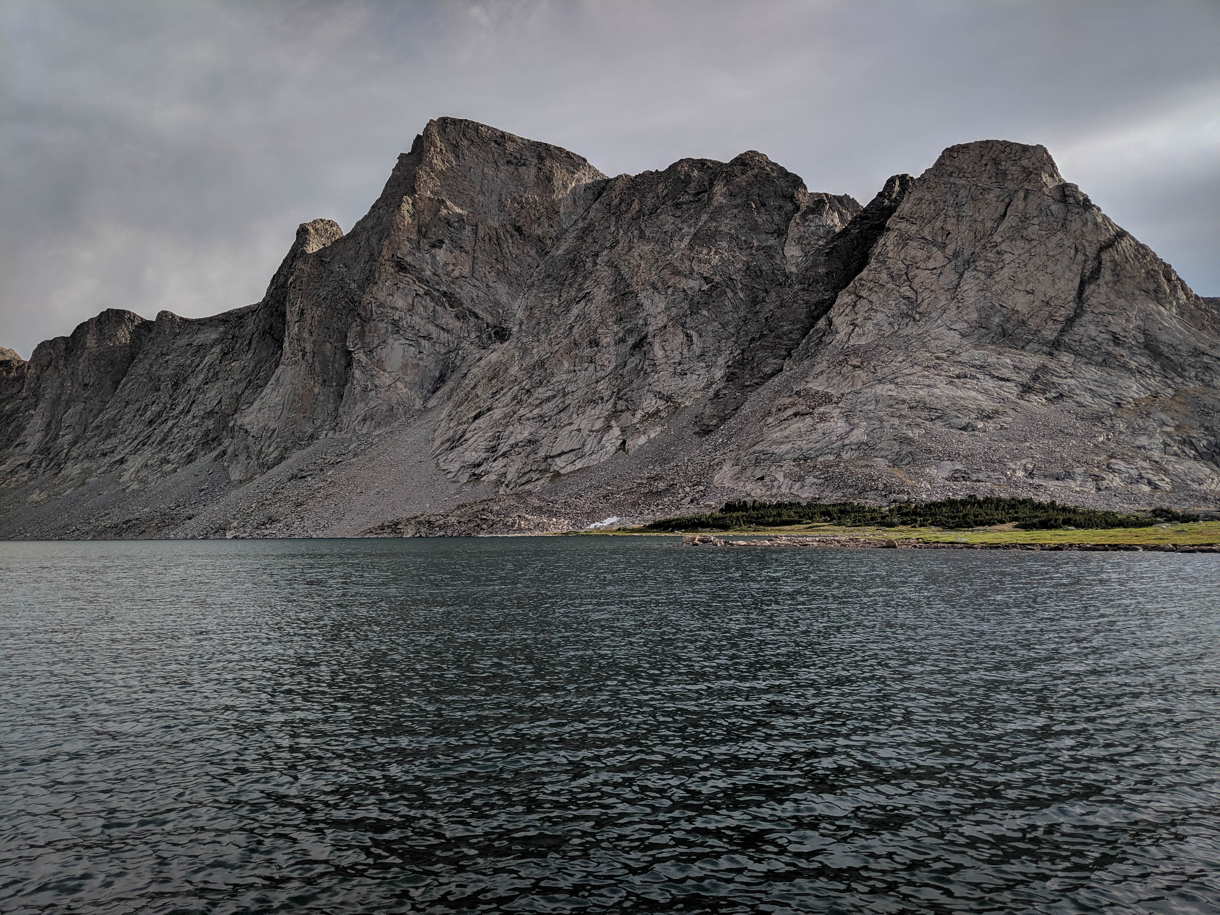
Baptiste Lake, Mount Lander, and the surrounding peaks.
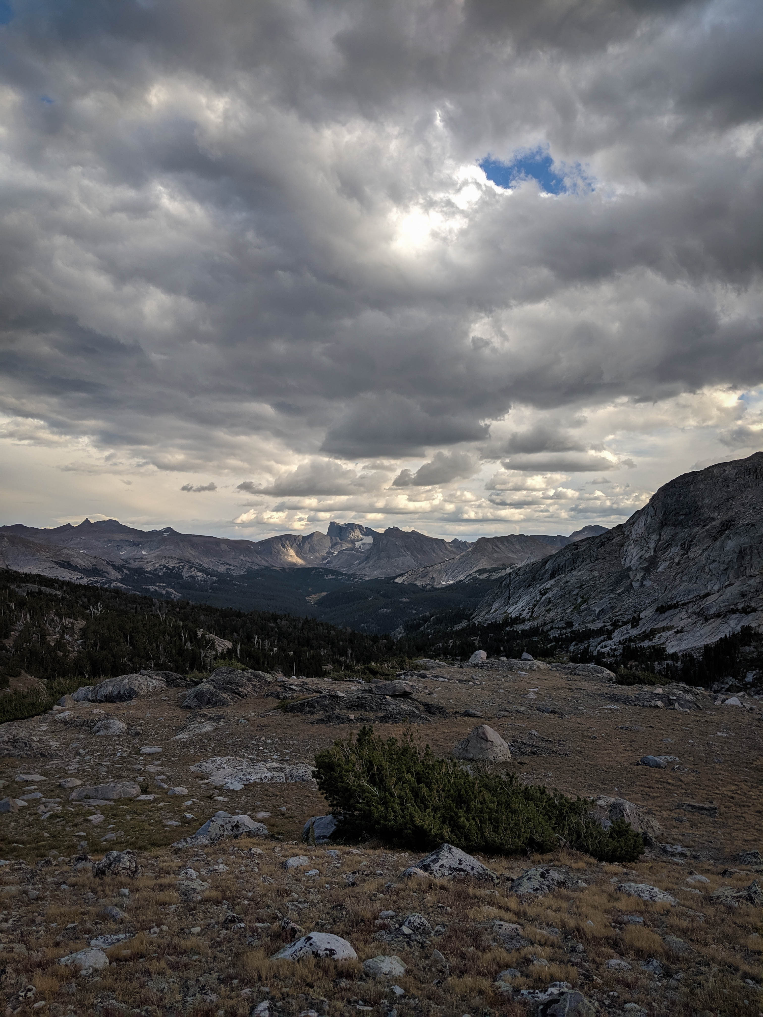
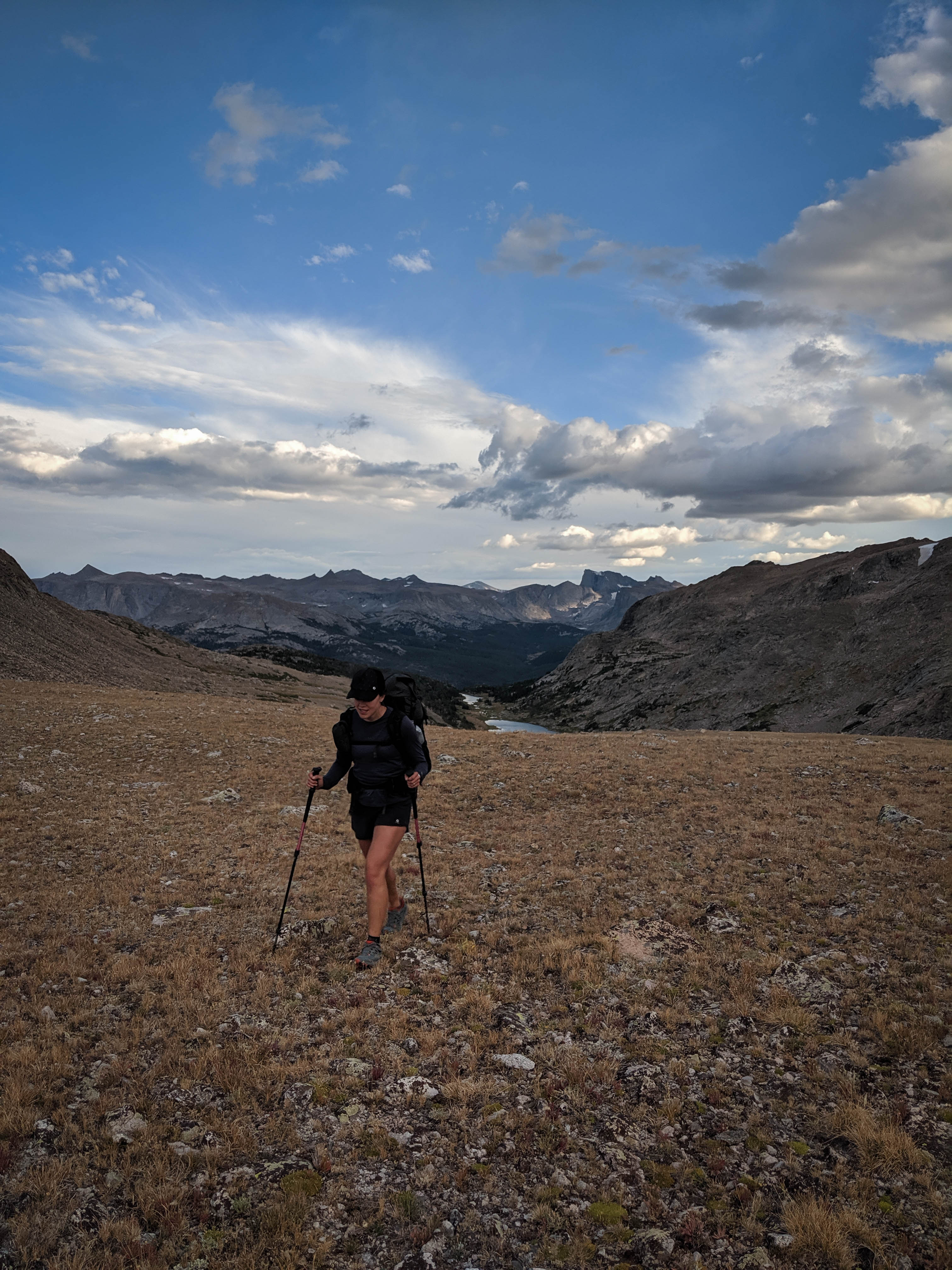
By the time we packed up and hit the trail, some clouds had rolled in. We figured that it didn’t look too bad yet, so we’d take the high route we intended and if the weather degraded we could backtrack and follow the low route to Roberts Lake over Teepee Pass.
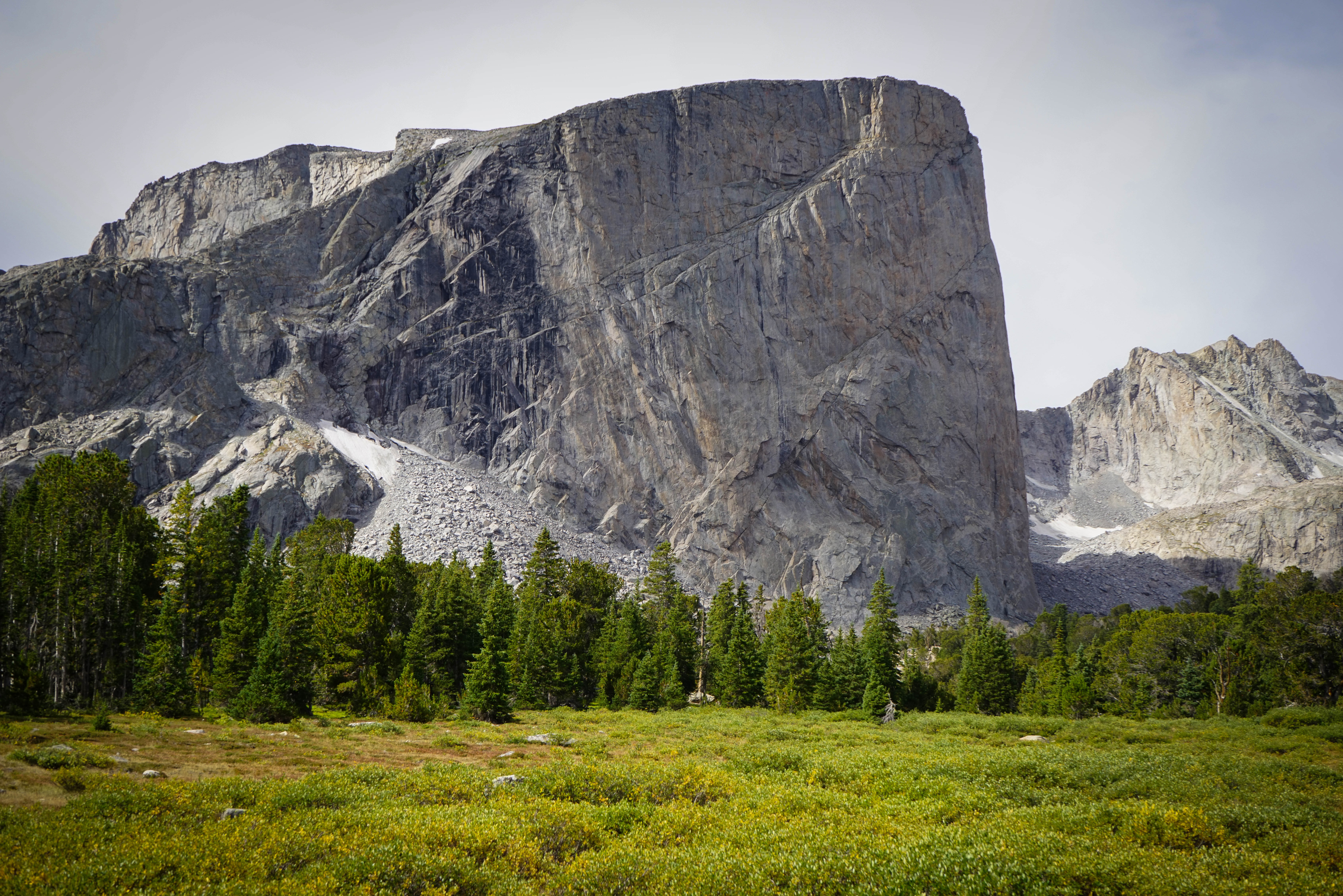
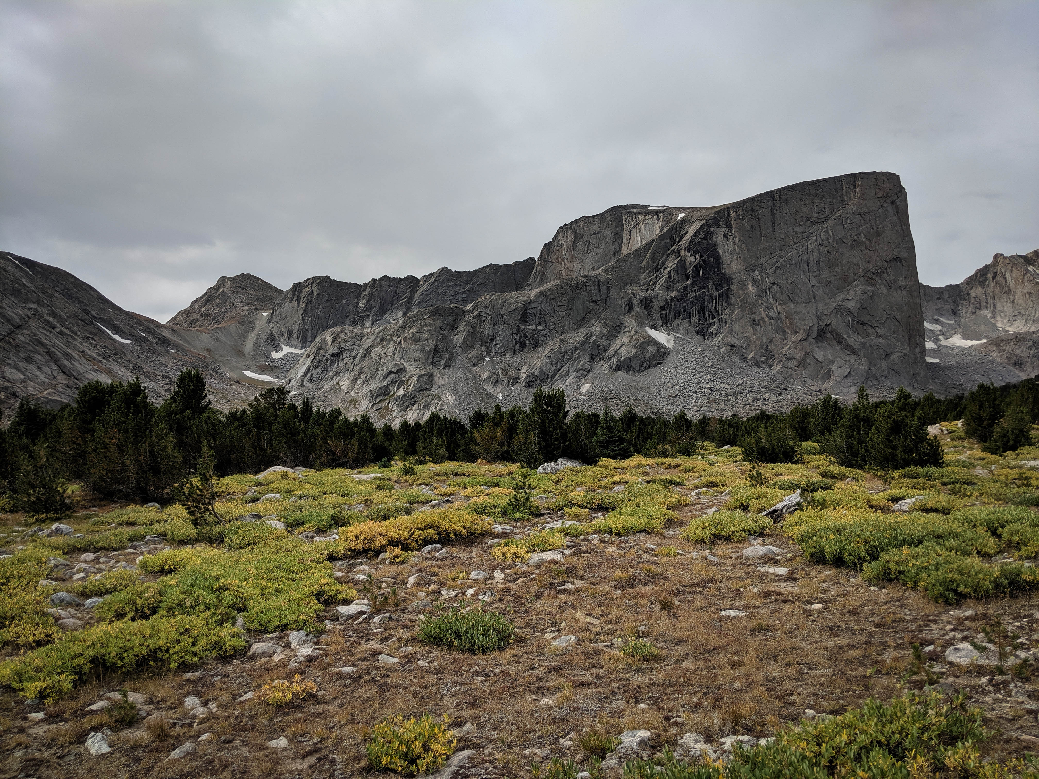
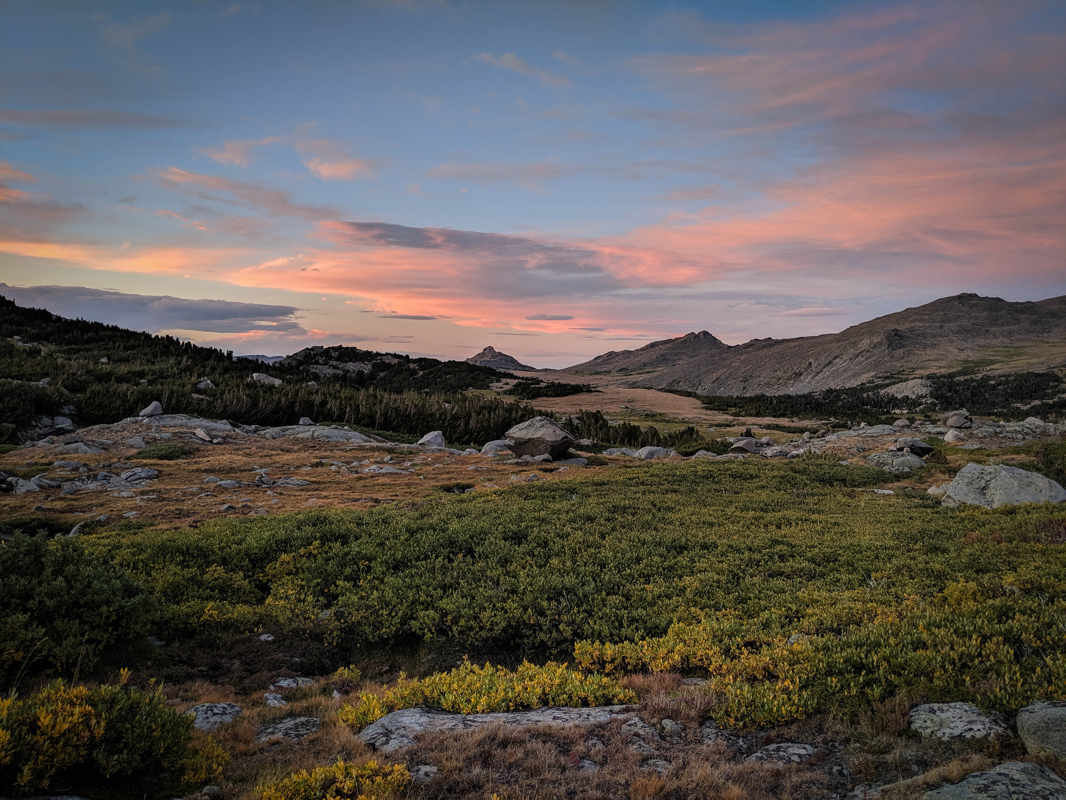
Musembeah Peak from Baptiste Creek.
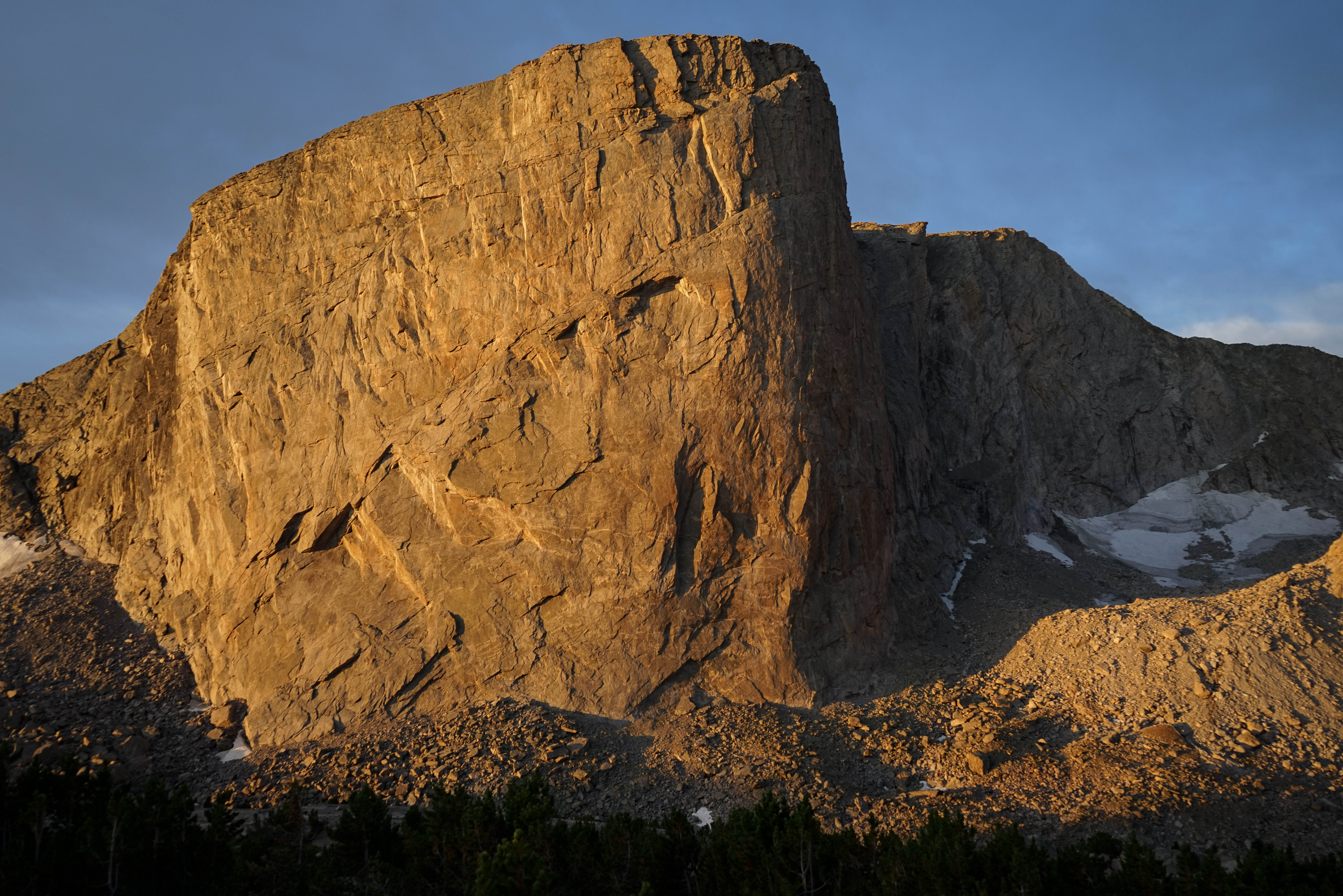
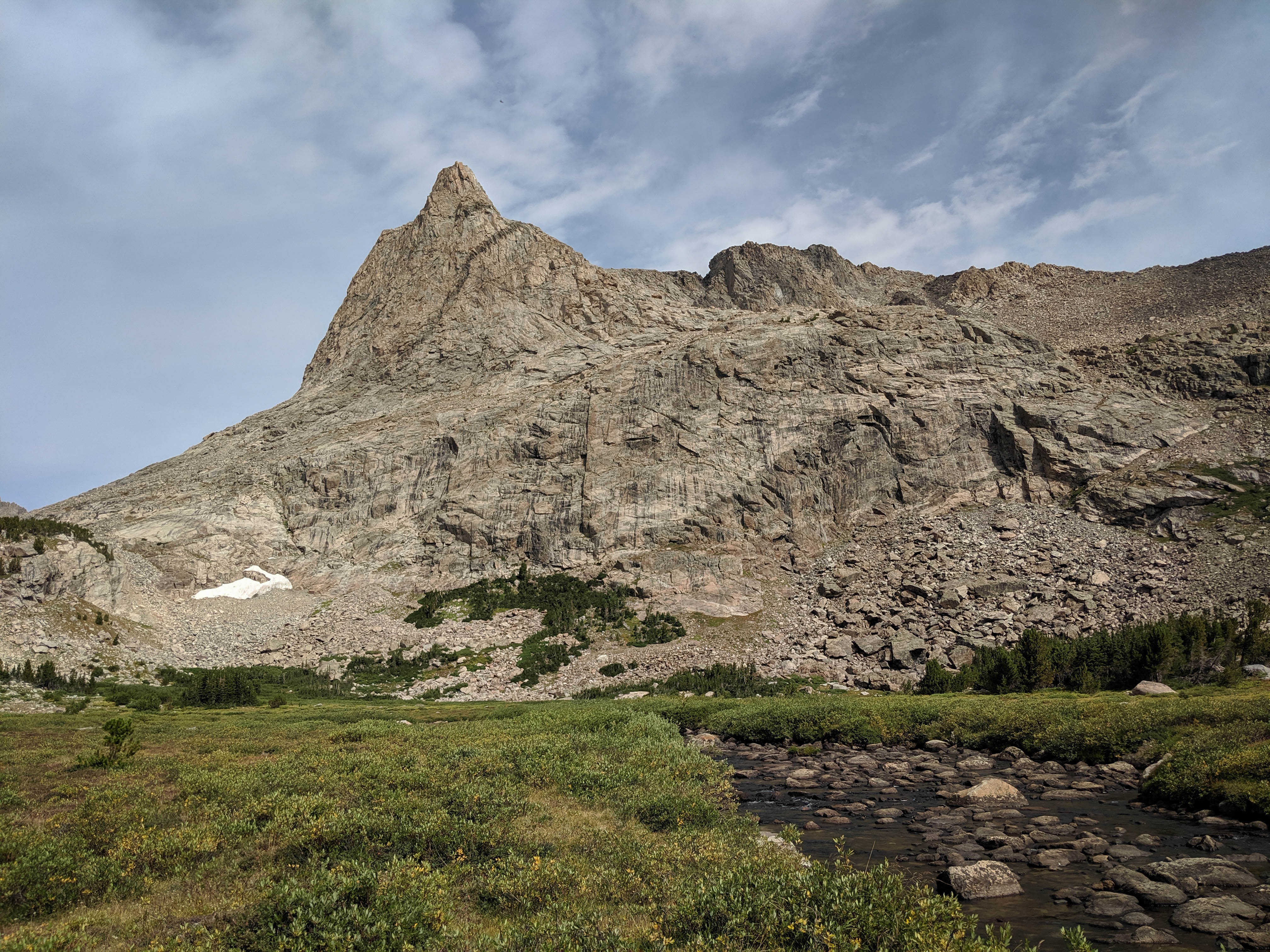
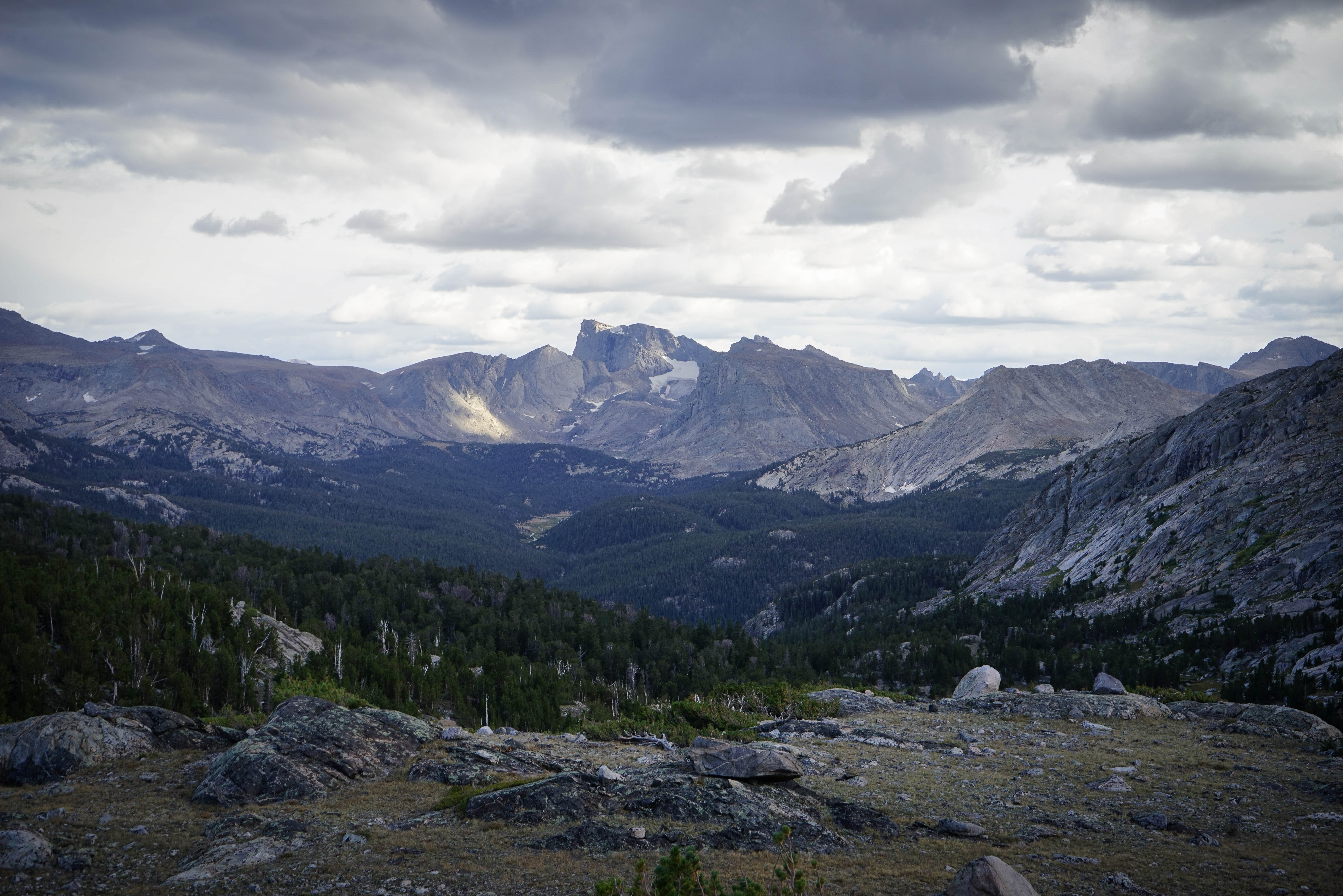
Mount Hooker from the meadow near where we left the trail.
After we left the trail the views continued to open up. Here’s Mount Hooker again with Hailey Pass at the left.
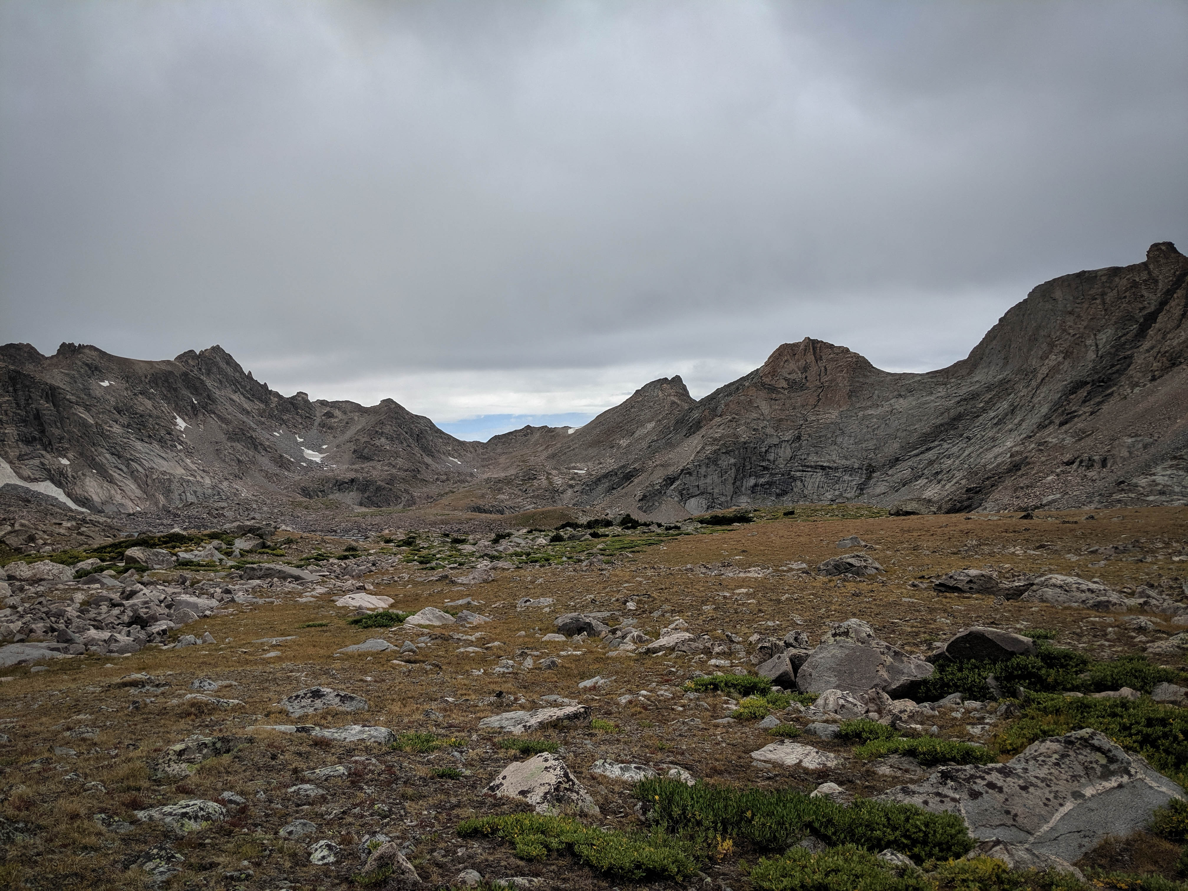
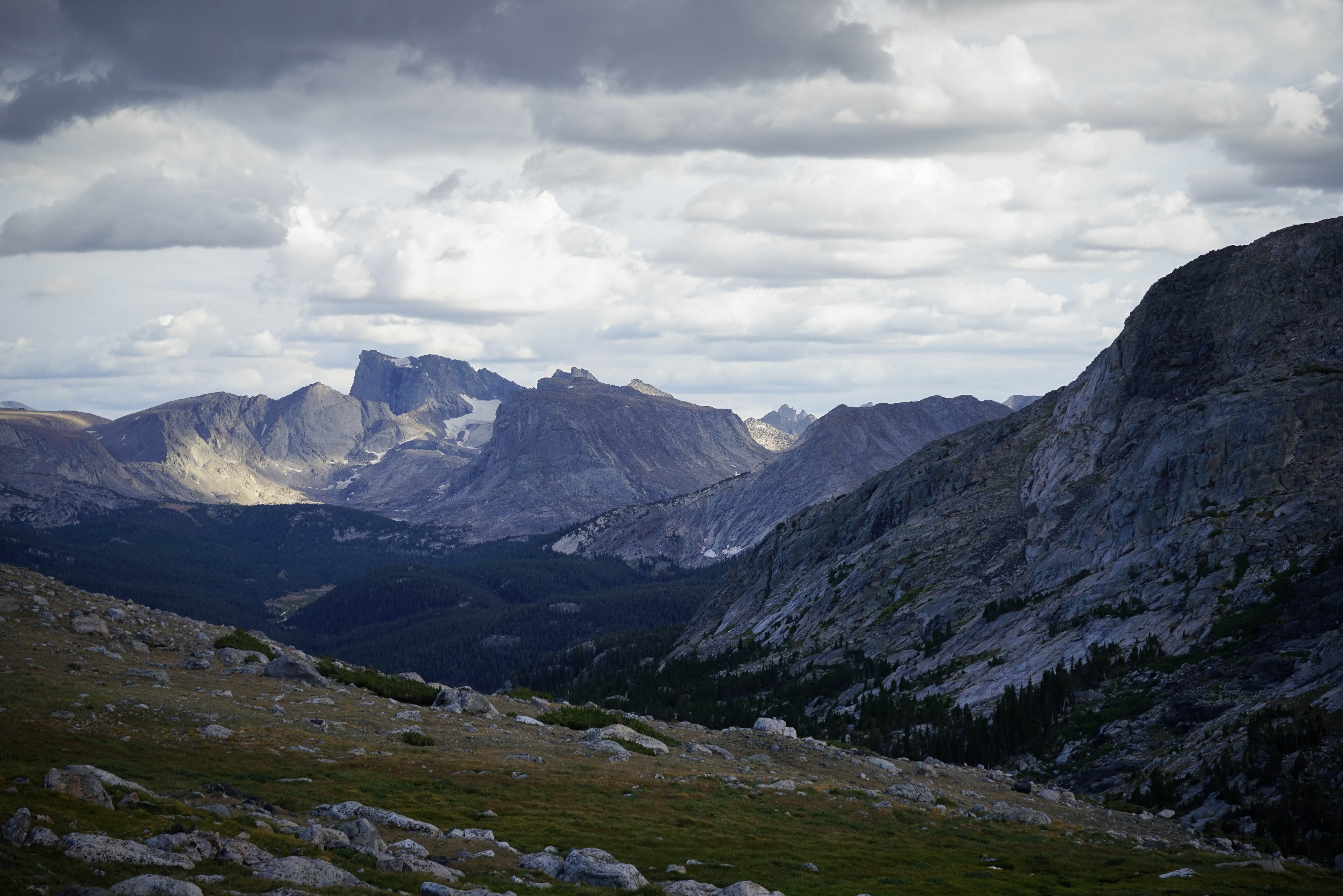
The headwaters of Grave Creek, where the terrain eased up after some light forest and talus hopping. This basin has six large lakes, but they’re not pictured in this view. Roberts Pass West is the second saddle from the right that’s not very visible due to the angle. When we got here, it began to rain a little bit. We figured we had several more hours to get across both Roberts Passes, and were worried about the weather deteriorating further, so we decided to backtrack and head down to Teepee Pass instead of risk it.
Looking south to the basin on the other side of Grave Lake.
Overlooking the small lake at 10,500’ as we cut across to the small pond closer to the trail again. The conditions seemed to be getting worse soon, although there were patches of blue sky.
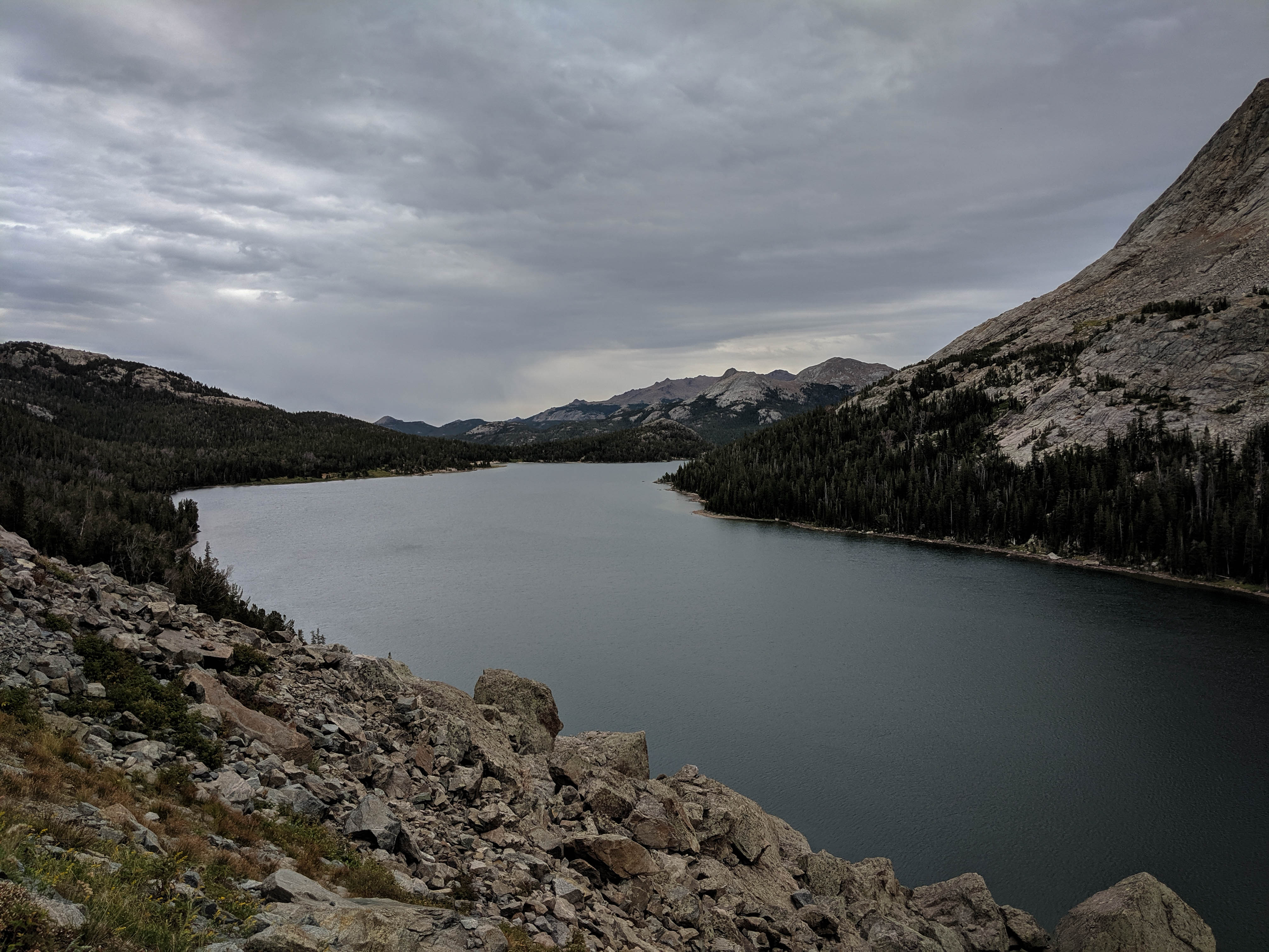
Back down at Grave Lake. This lake is enormous!
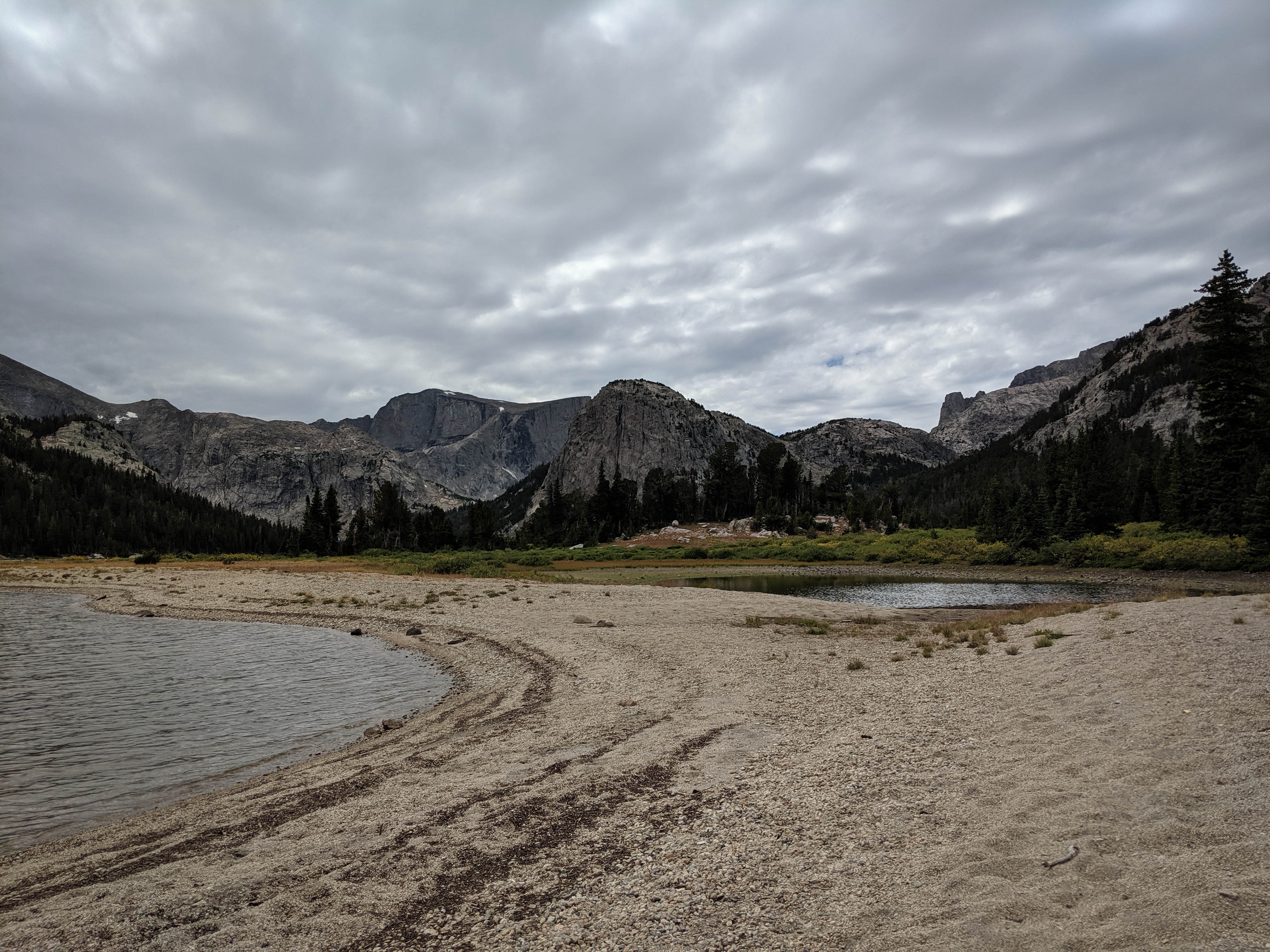
We stopped for lunch at the sandy beach again.
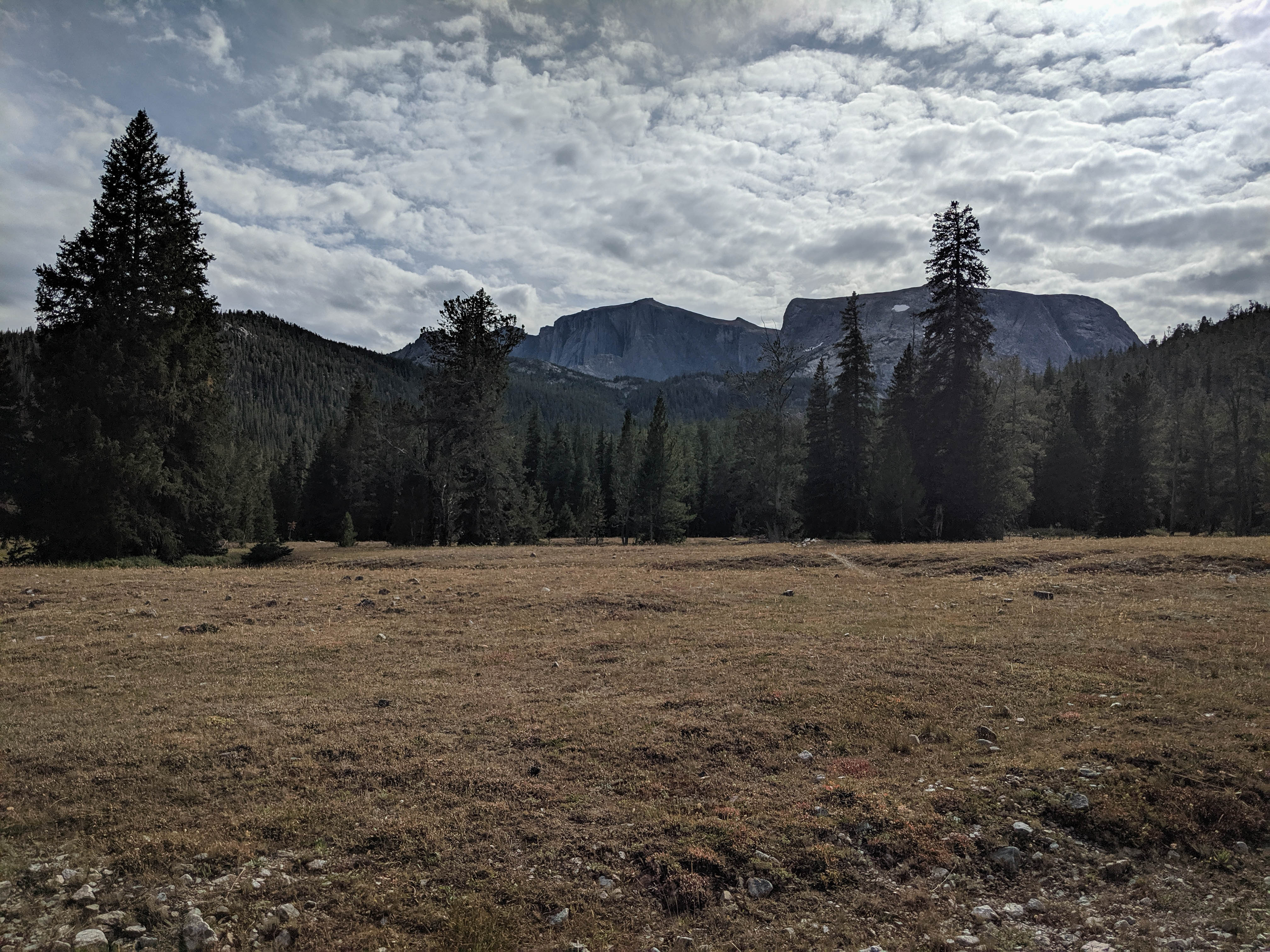
We dropped from Grave Lake at the junction towards Onion Meadows. This trail was lightly used and slightly overgrown, but fairly easy to follow. At Onion Meadows, we refilled water before the long climb to Teepee Pass.
Starting up Teepee Pass. Where the trees disappeared there were great views to the south of the basins we had explored yesterday.
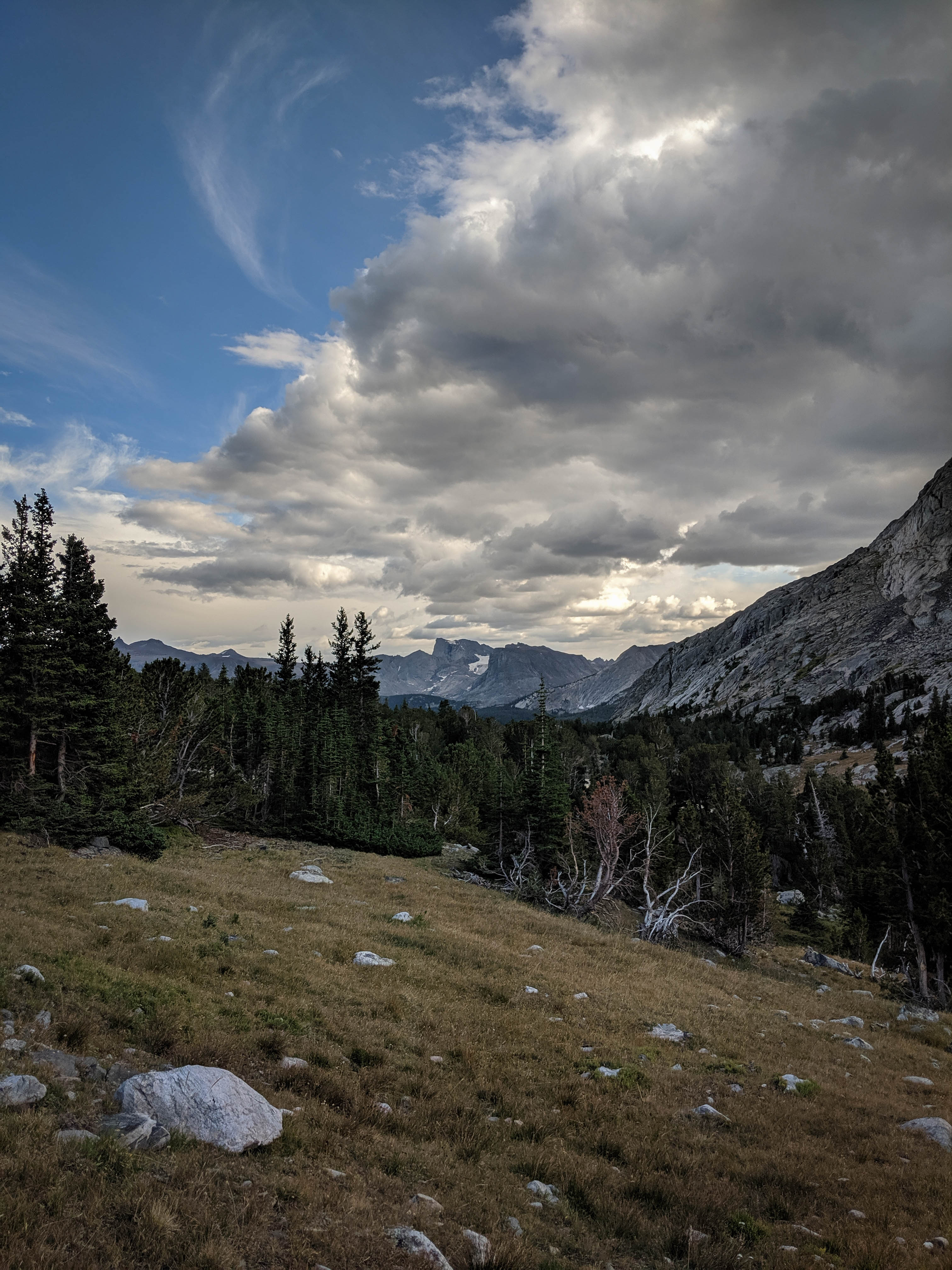
Coming out of the trees near the lakes along Raft Creek. The clearing clouds made for dramatic views across the South Fork drainage.
The trail up Teepee Pass was covered with deadfall for the first 500 feet or so, and then it disappeared into nothing. There were occasional cairns to mark the way, but it was cross country travel. The section through the forest was somewhat difficult, but it became easier as the vegetation cleared.
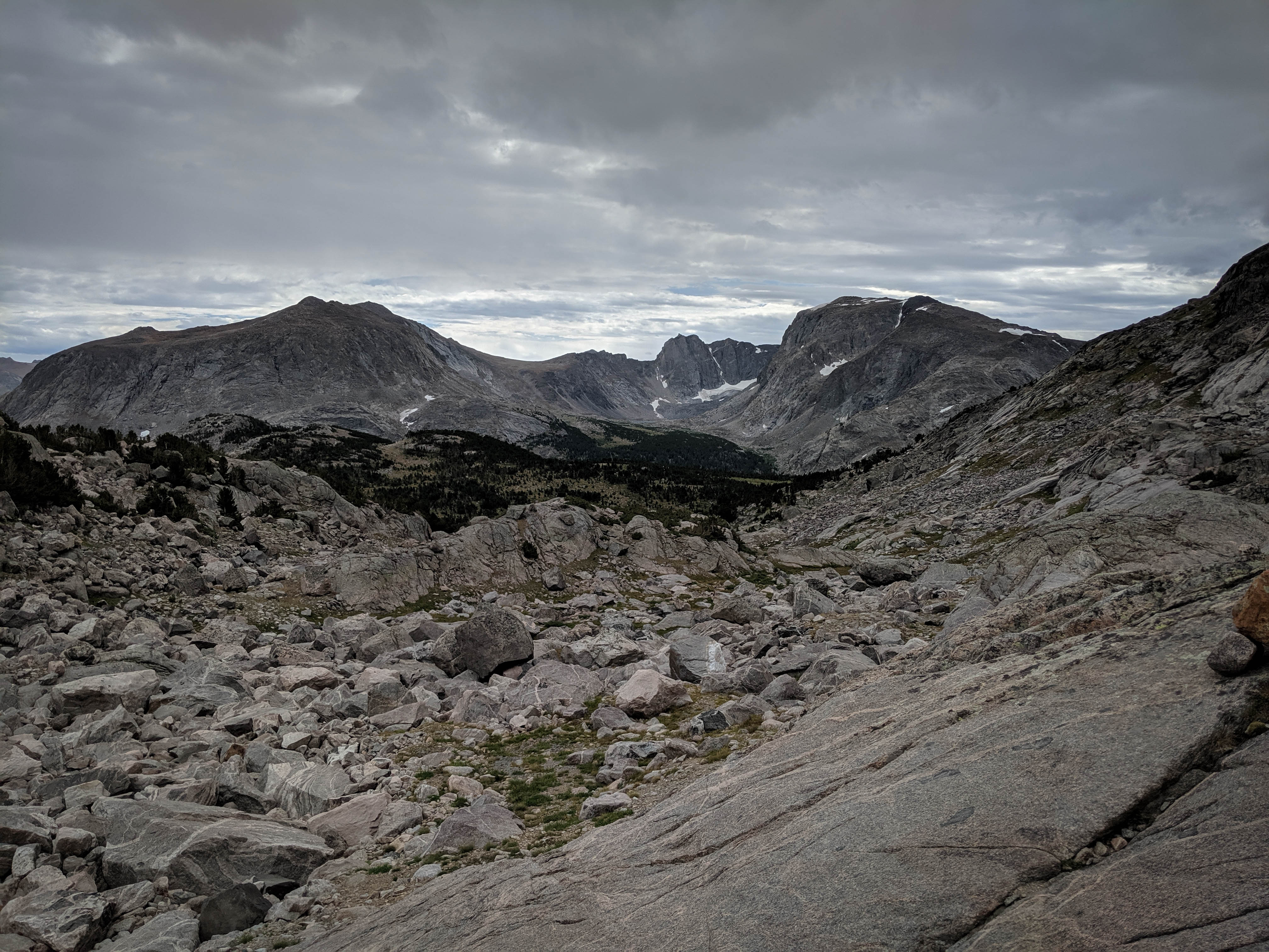
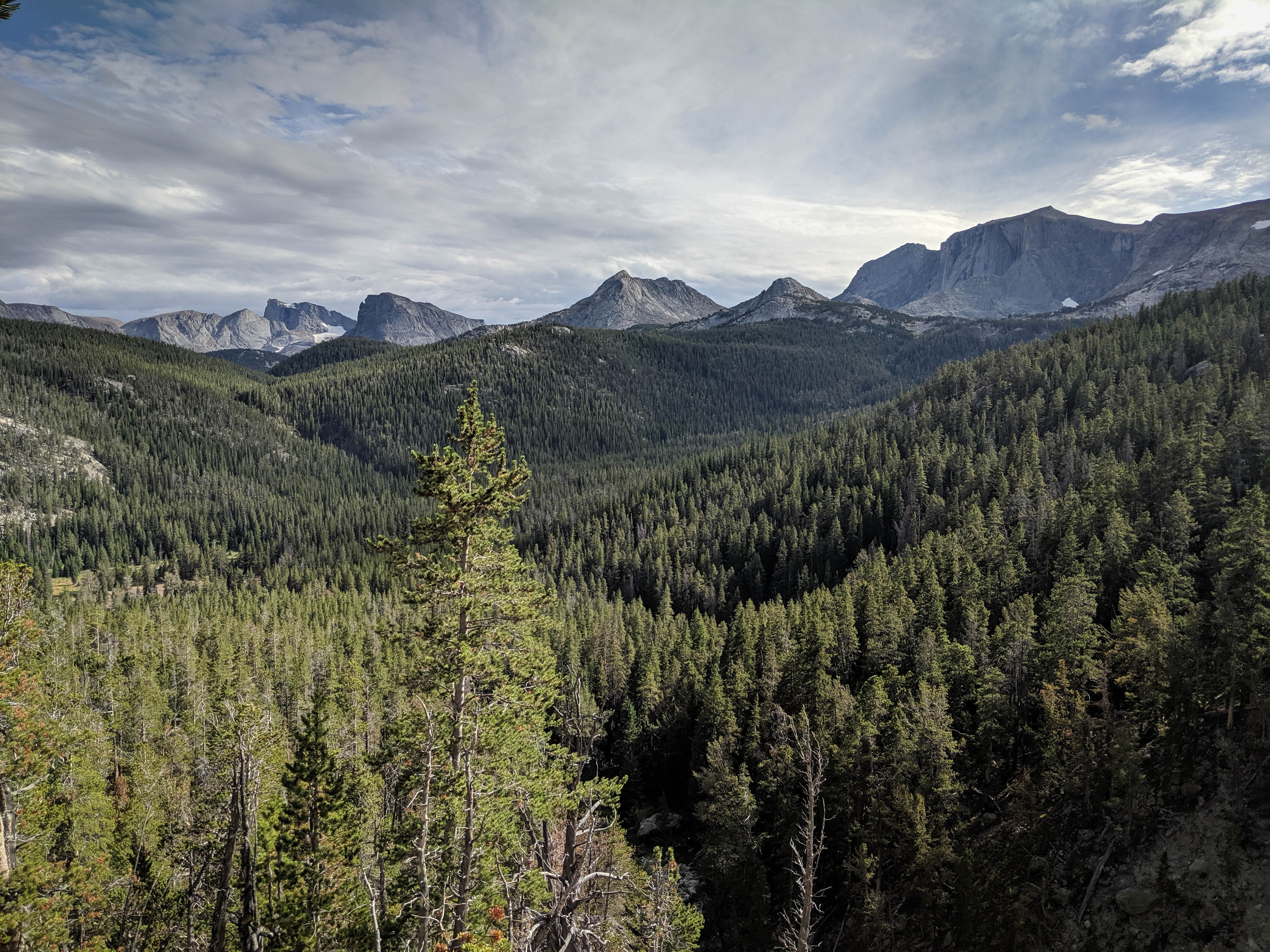
Beautiful views across the South Fork, with Lizard Head Peak, the South Fork Glacier, and Ranger Park plainly visible.
We spotted a group of three elk at the top of Teepee Pass from about a thousand feet away, but they ran off as soon as they saw us.
Shannon walking across the broad grassy saddle of Teepee Pass under clearing skies.
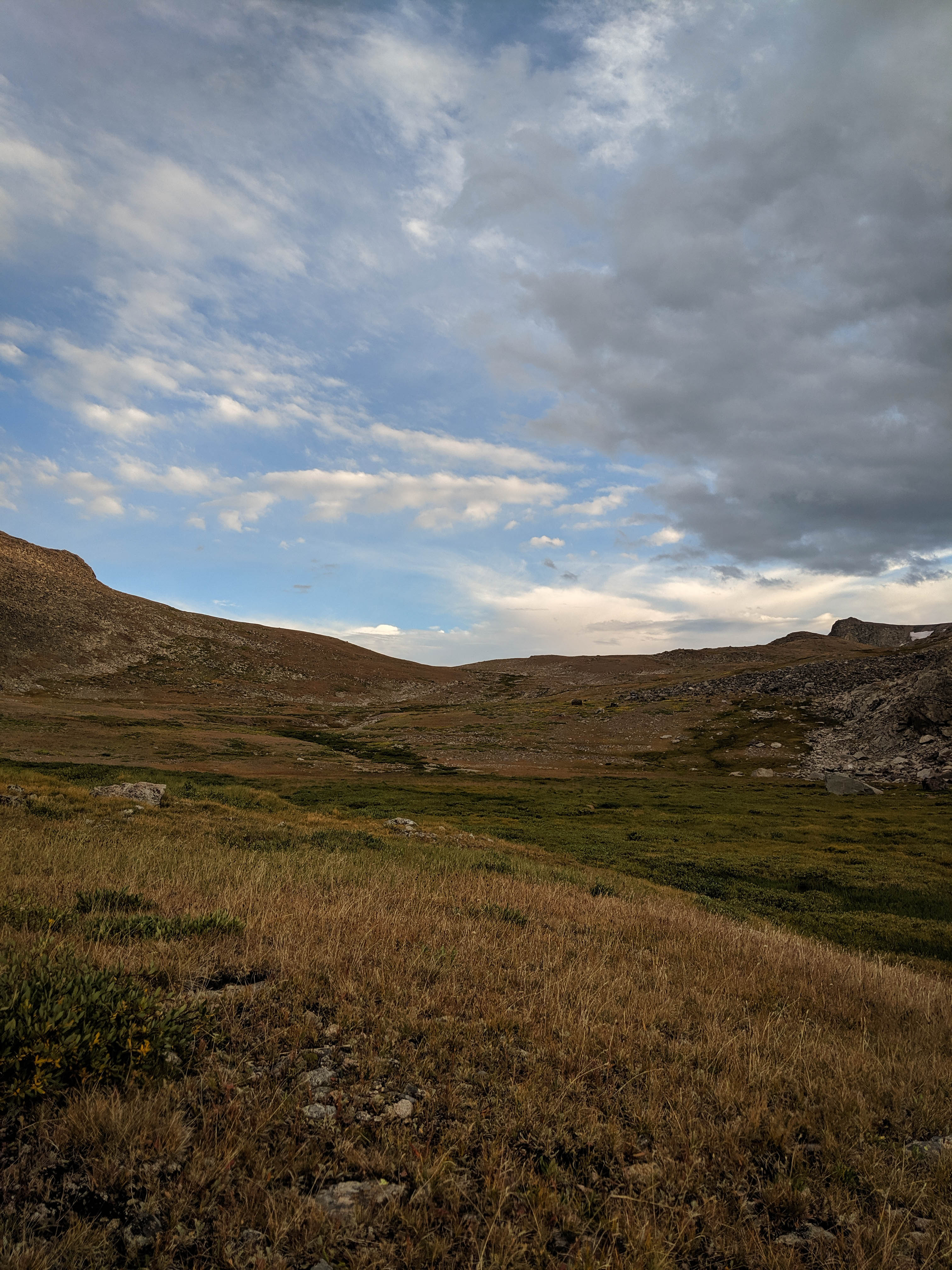
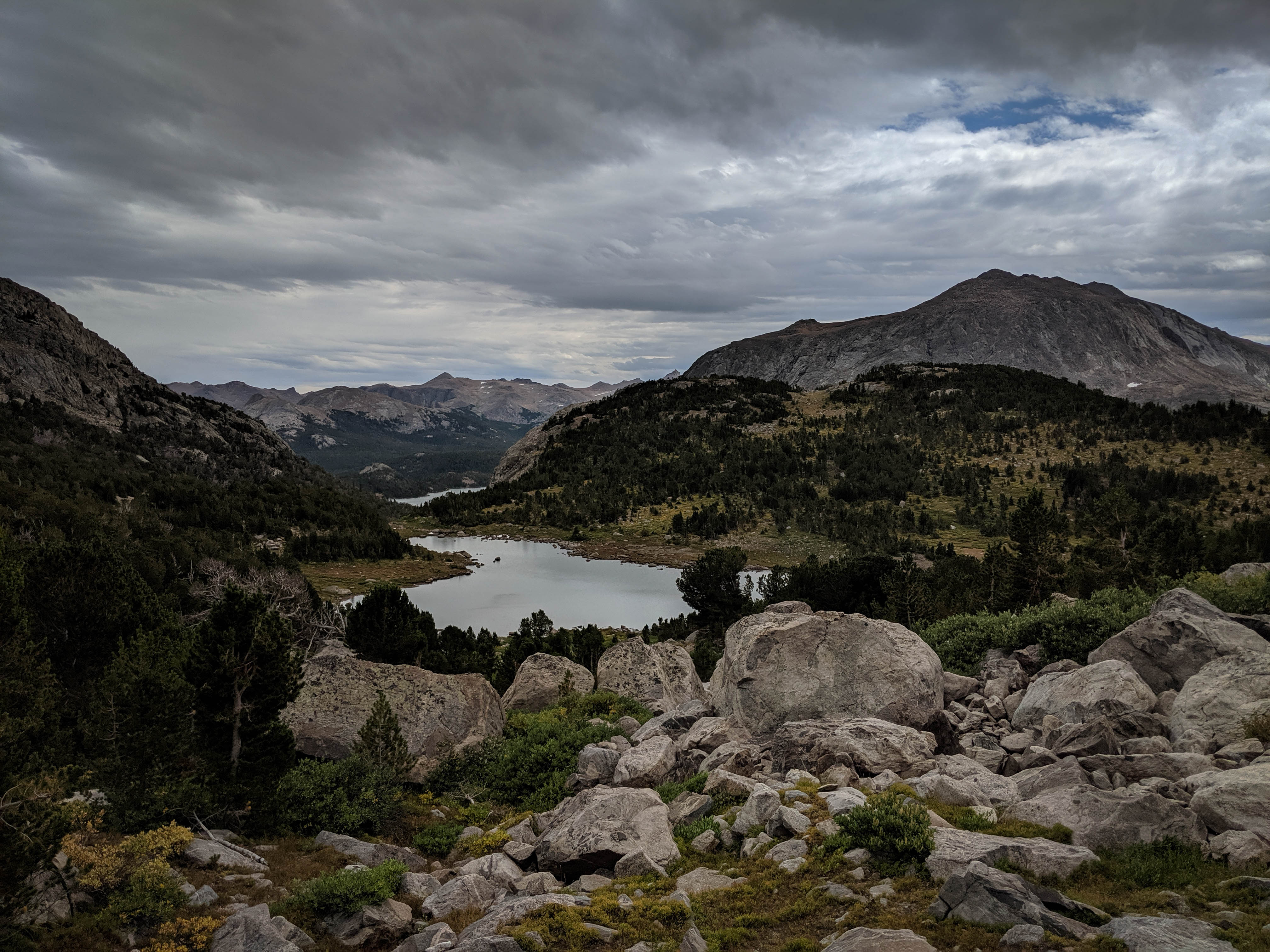
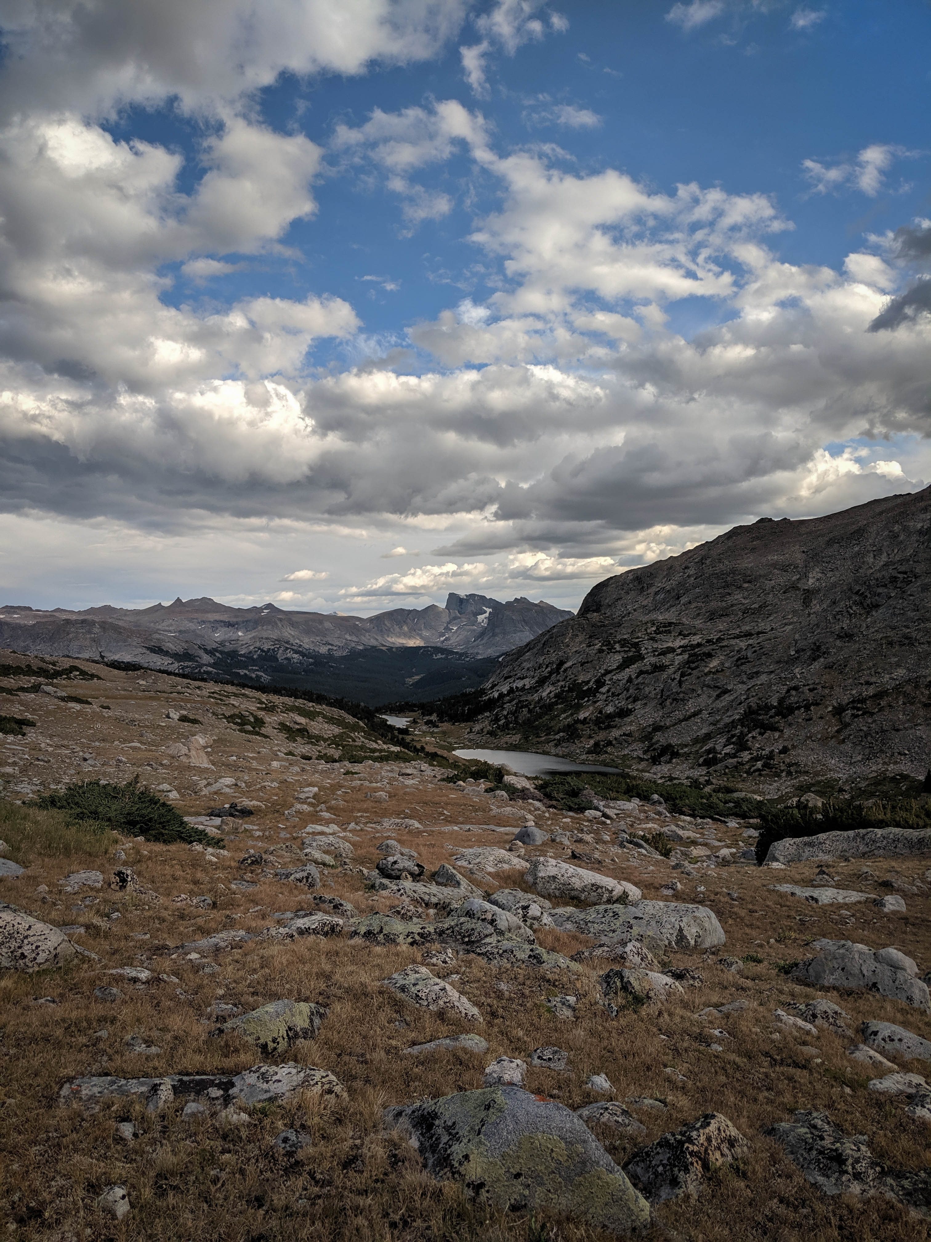
Teepee Pass from the north. Travel across the tundra was very easy here. We weighed our options to follow the “trail” down to Trail Lake and then hike around the lake on the north to Roberts Lake, or take a shortcut down the creek on the south/west side of the lake and then climb again to Roberts Lake. Given that the trail was indistinguishable, we opted for the shortcut.
Trail Lake from the small gully where the creek flows in on its south side.

We came across an elk skeleton in the trees here.
The southern edge of Trail Lake. We had hoped not to drop down this far, but willows forced us down to the lakeshore where we could hop across rocks to make faster progress.
The southwest edge of Trail Lake is a maze of talus gullies. We considered following the lakeshore to the creek connecting the two lakes, but the forest looked quite thick, so we tried a slightly more direct route. Even though it was only a short section, navigating through this terrain was tough. We had to keep sending one person ahead to scout a route and then backtrack to go an easier way.
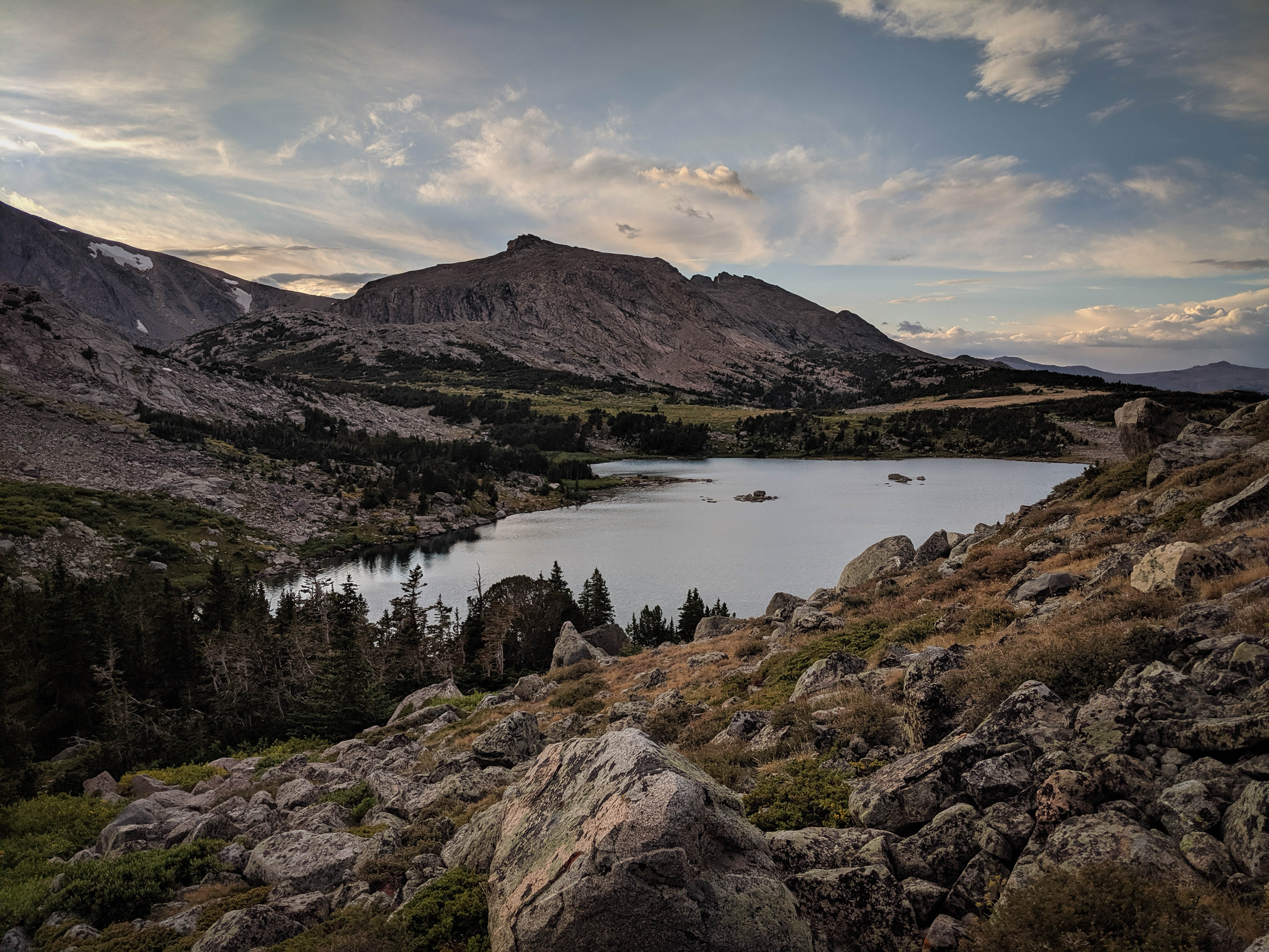
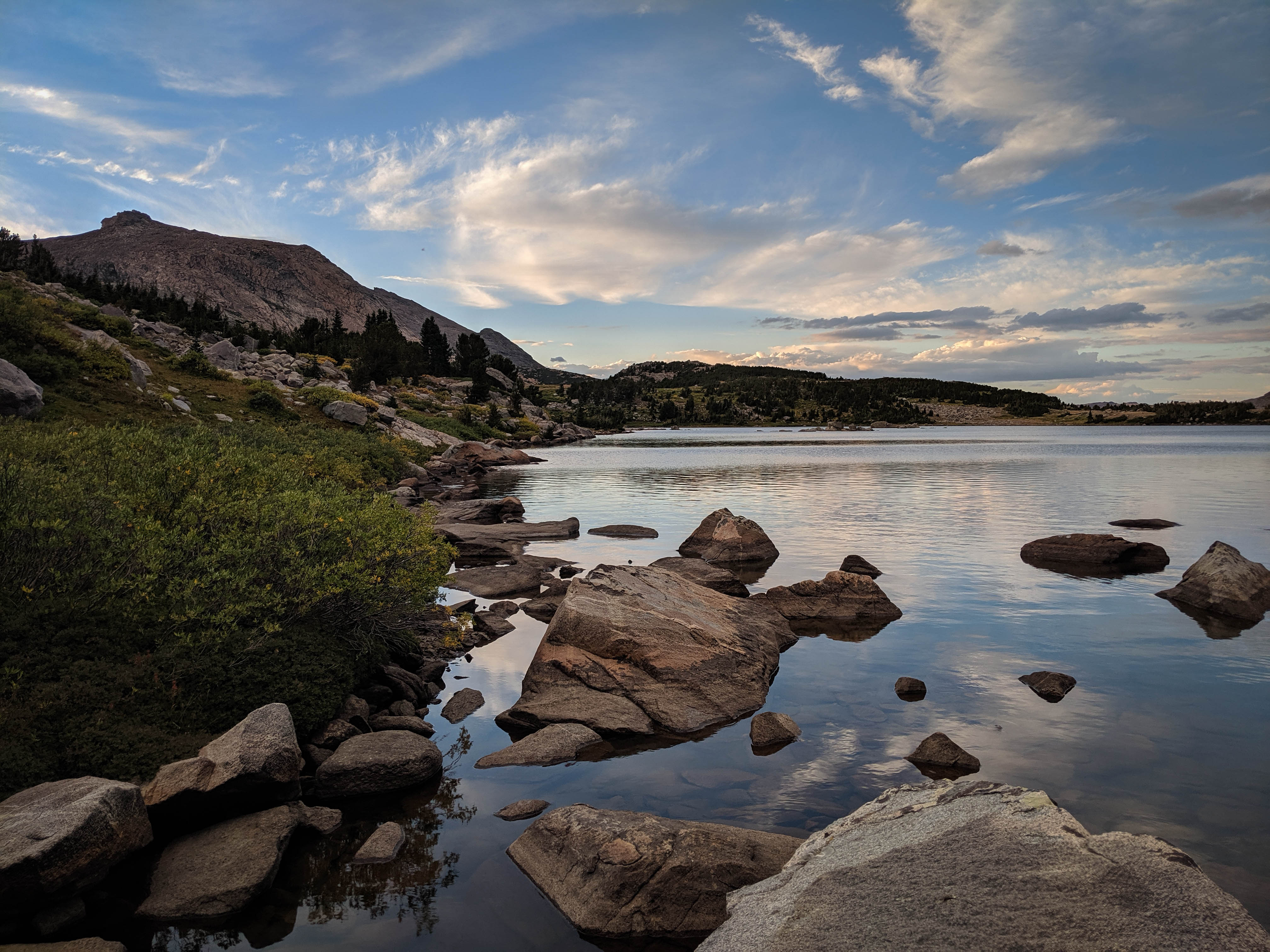
A beautiful sunset over Trail Lake.
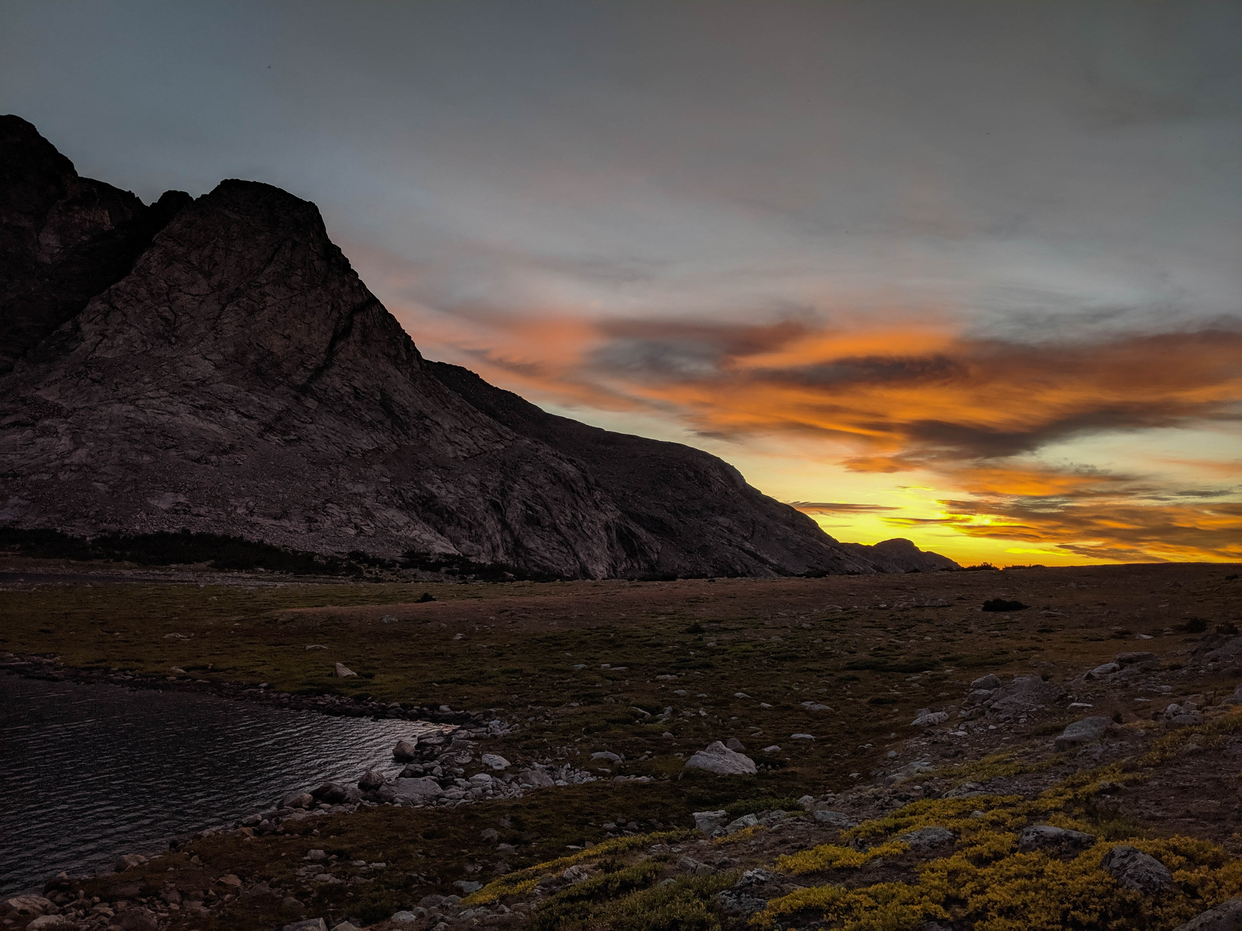
The sunset view looking north from the flat-ish area near the outlet of Roberts Lake.

We had a bit of difficulty finding a good campsite, the flat areas here were mostly covered in rocks.
The last light of the day over the huge face of Roberts Mountain.
We were pleased to have made it to Roberts Lake today, but surprised that our planned easy route over Teepee Pass had been so difficult. We had expected the trail over this pass to, well, exist, and were slowed down significantly in our efforts to avoid the cliffs above Raft Creek on this climb. With this new information, we took away a couple of things. First, a good reminder that in the Winds, nothing is ever as easy as it seems. And second, we figured that Teepee Pass was a good example of what degree of trail maintenance we should expect on the reservation. The Forest Service lands in the Winds are wild, but they see way more traffic than the roadless area on the reservation. We expected that the entire North Fork of the Little Wind River would be just as rugged, even the sections with marked trails.
With this new information in hand, we discussed our plan going forward. We had originally planned to cross Wykee Pass to Wykee Lake / Lake Polaris and explore the North Fork of the Little Wind River before crossing Kagevah Pass and hiking the Wind River High Route south to the Cirque of the Towers. But when we put it all together, the timing didn’t quite add up. We would either have to hike quickly for several days, or skip one of the ends of our trip: the North Fork or the Cirque of the Towers.
After a bit more thought, we realized that there was no way we could do anything other than hurry through the North Fork basin, and that wasn’t how we wanted to see this area. So we decided to save it for next time. That meant that on this trip we would make our way back across Roberts or Teepee Pass to the South Fork, cross Hailey Pass, and hike south to the Cirque of the Towers. Our goal for tomorrow was to make it back to Baptiste Lake via the high route, weather permitting.