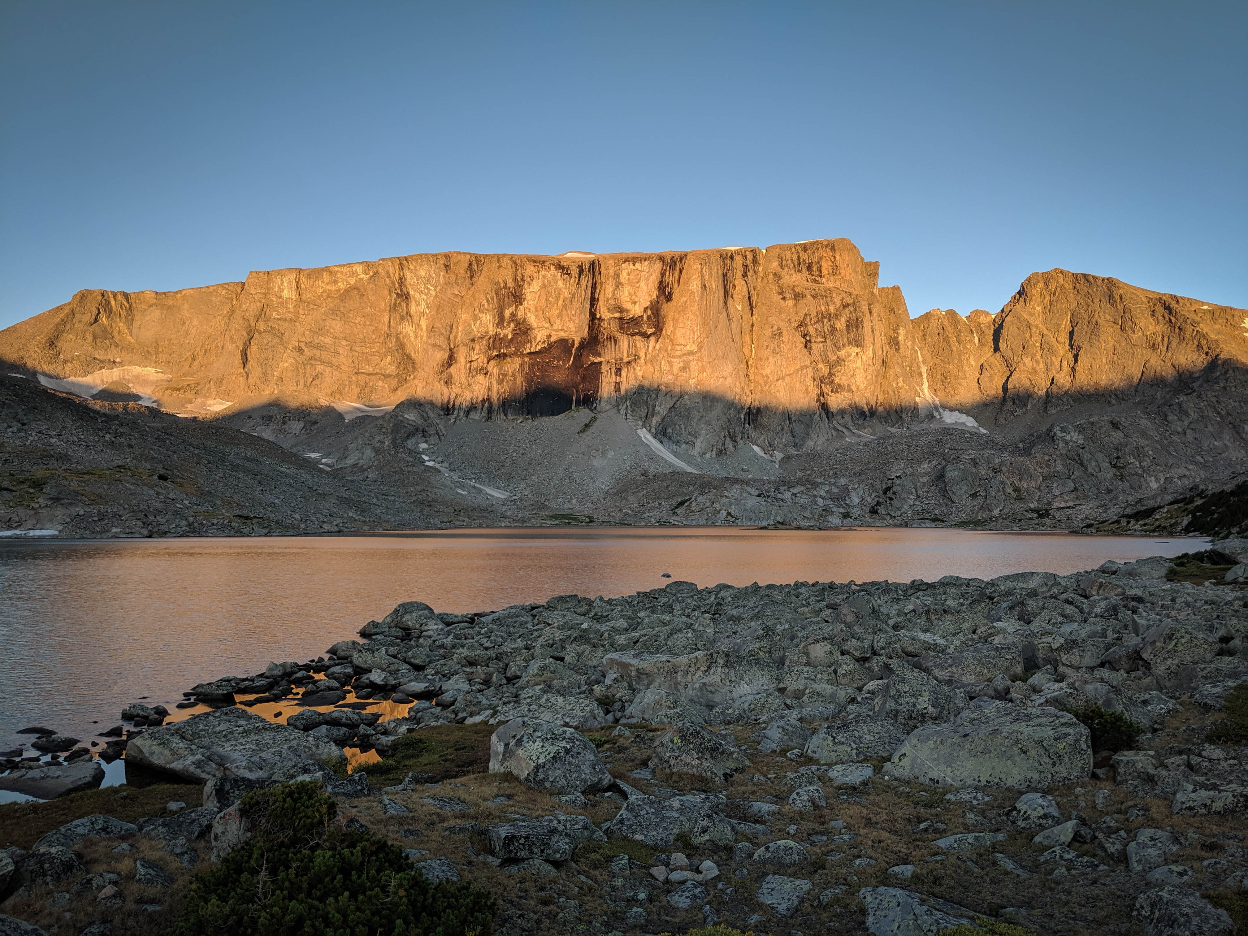
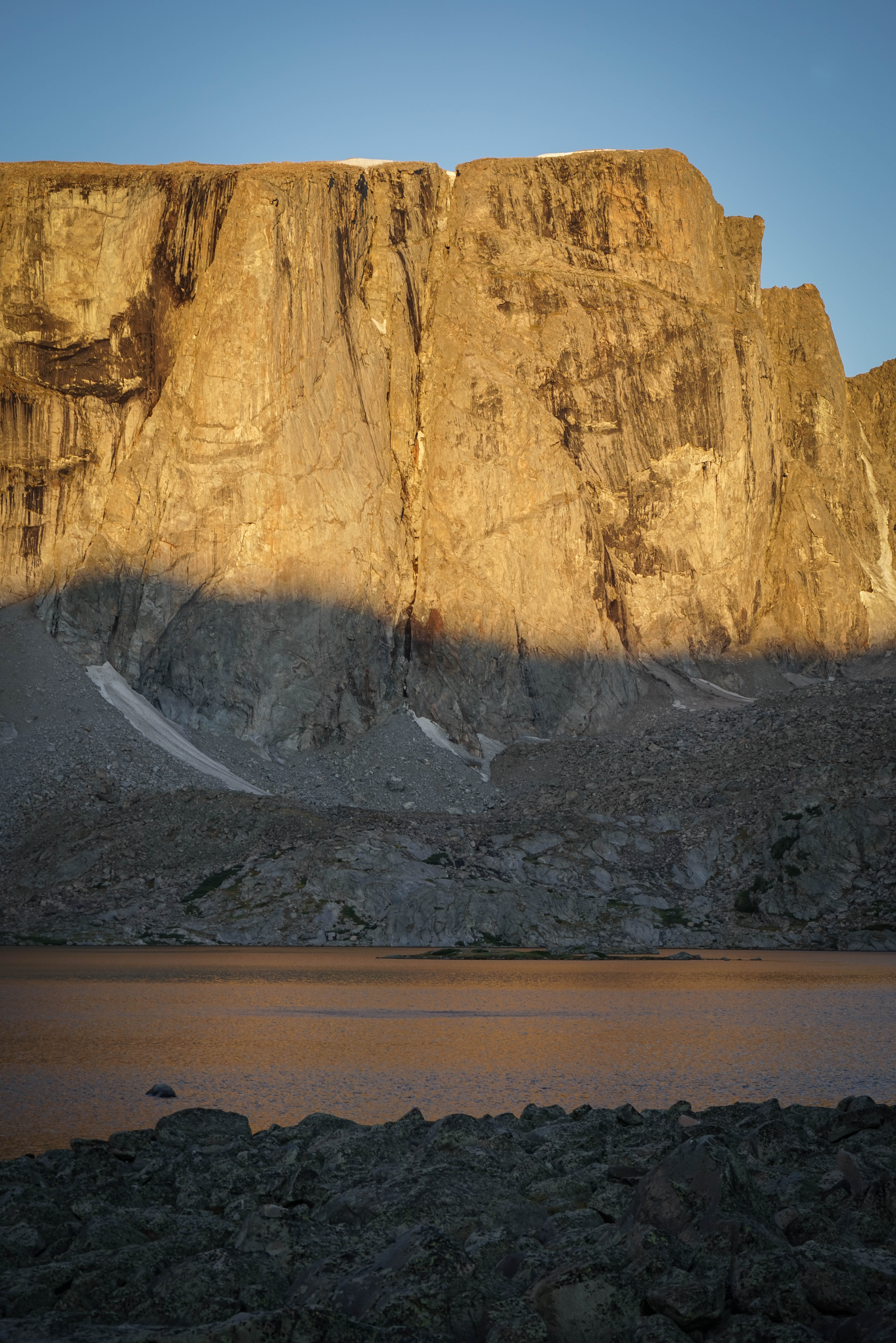
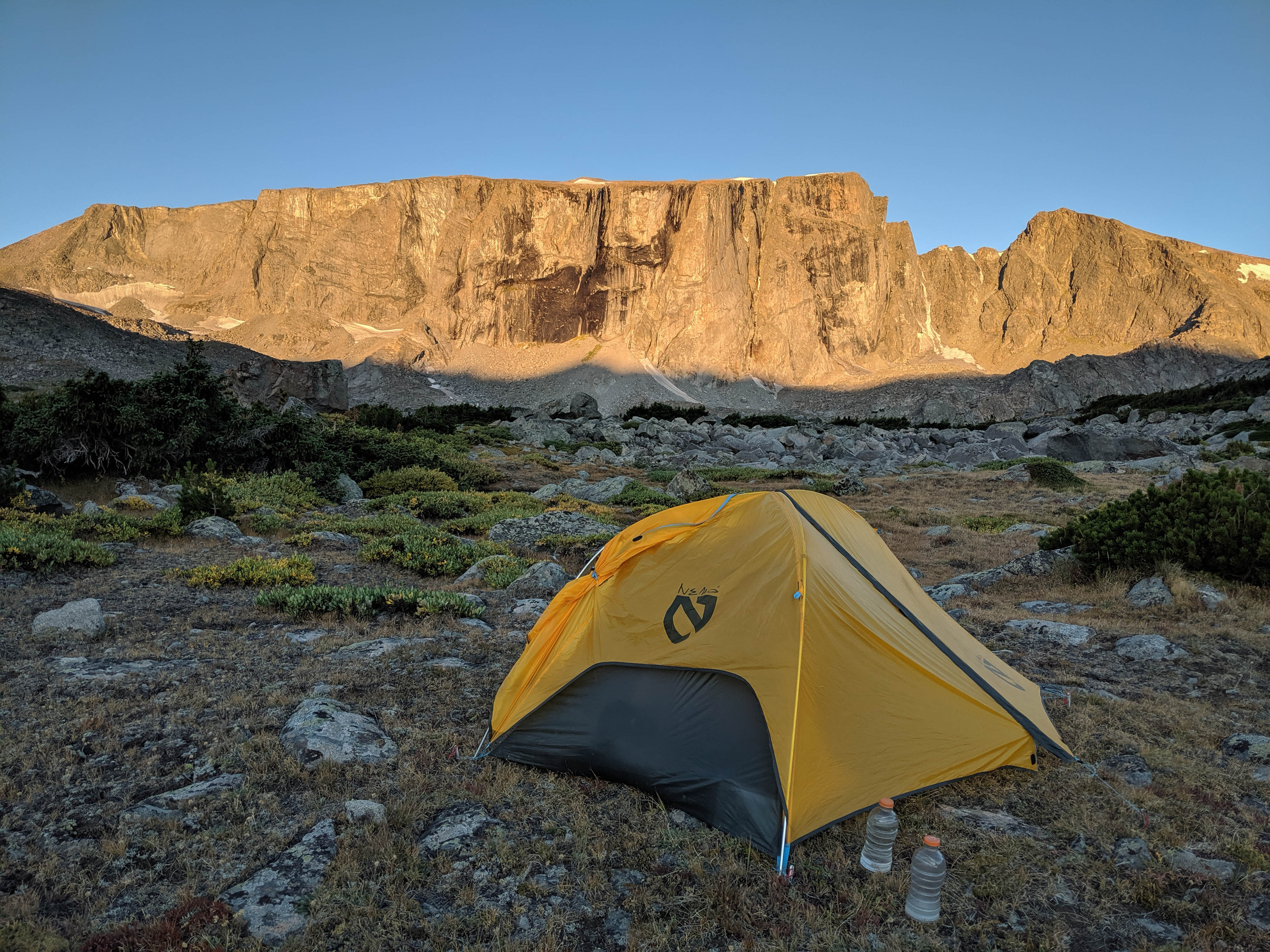
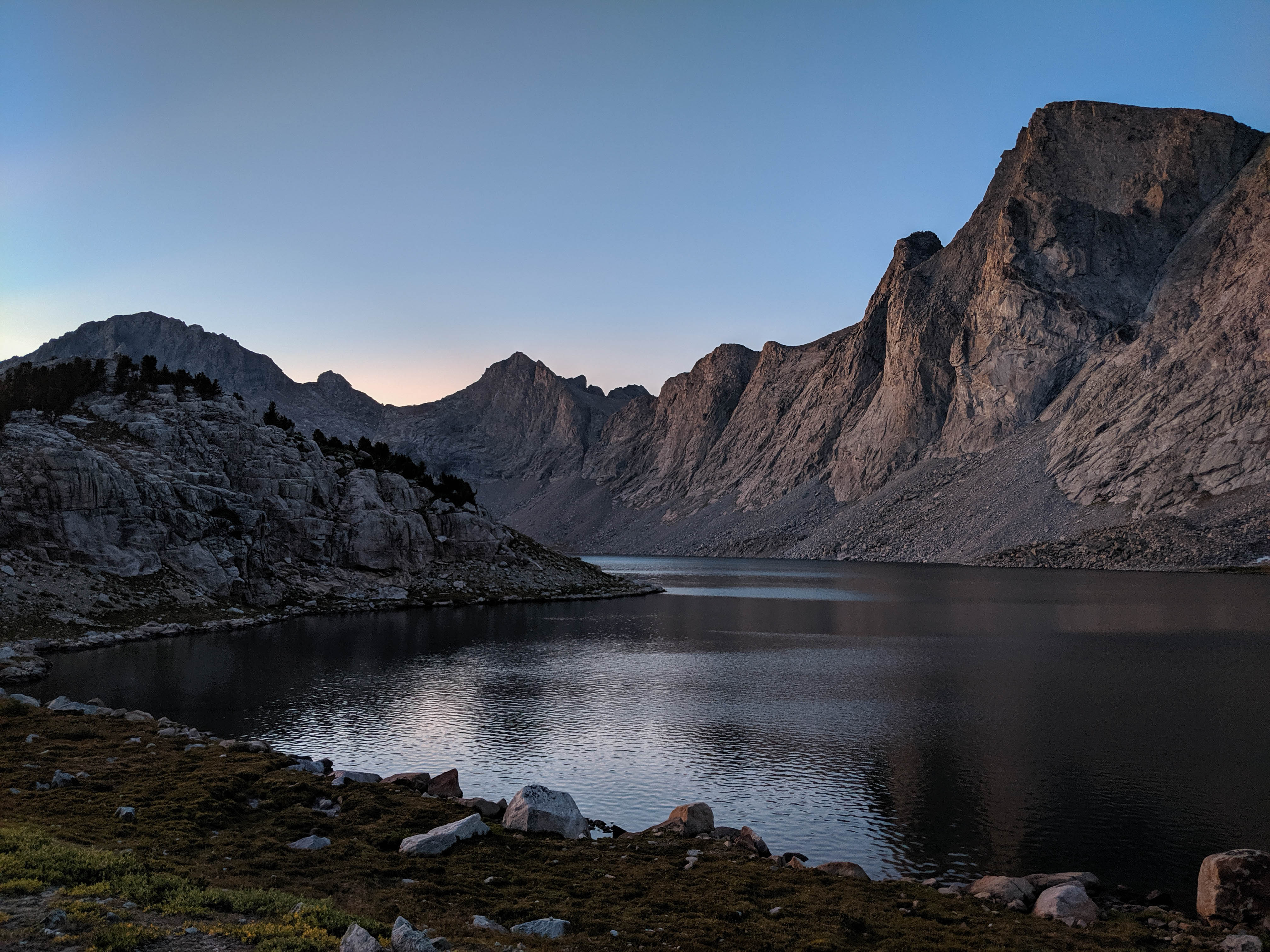
A clear sunrise on Roberts Mountain.
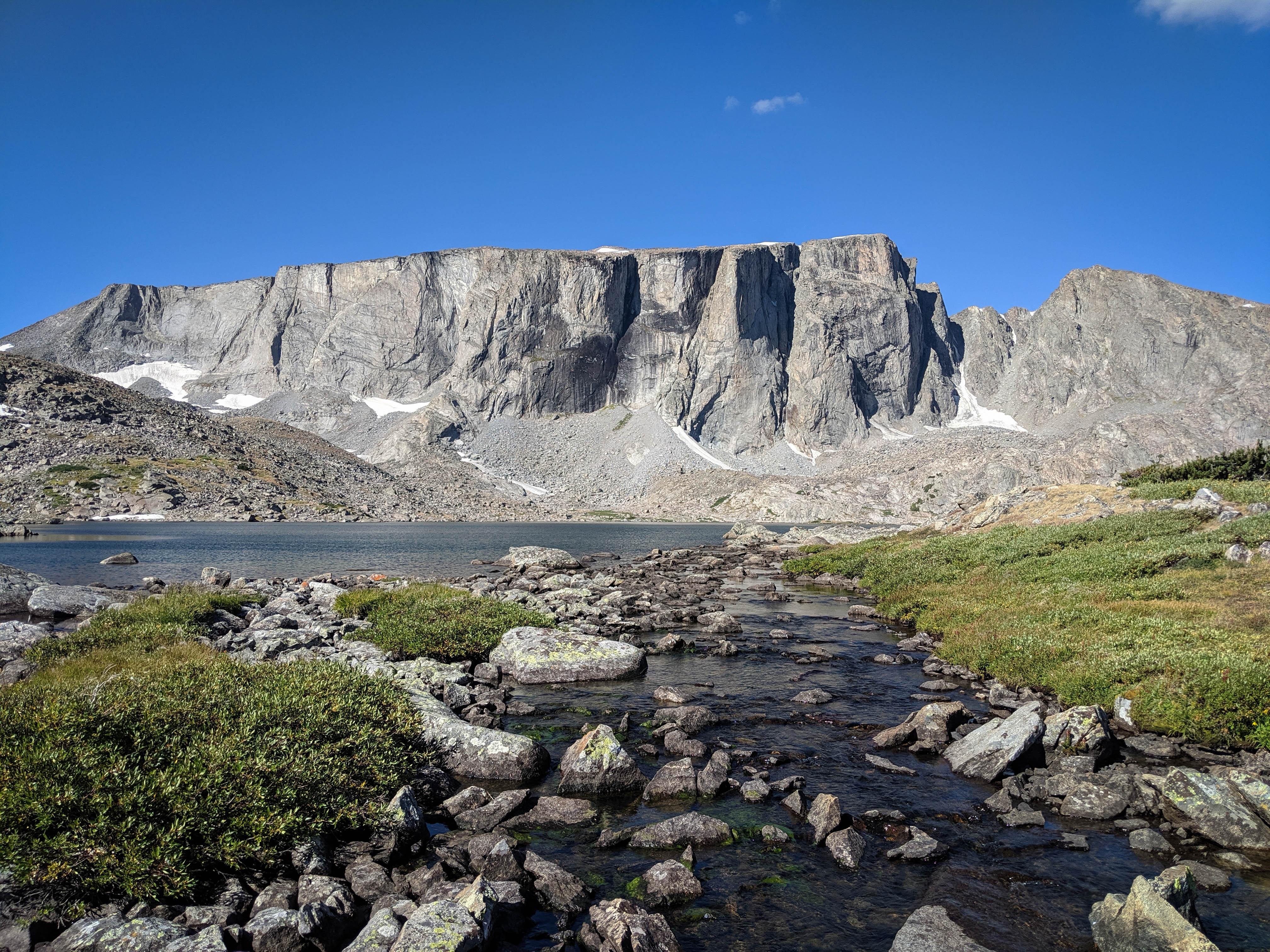
After eating breakfast and packing up, we set out across the outlet stream and along the south shore. I had spotted a massive trout in this stream the night before while getting some water before bed.
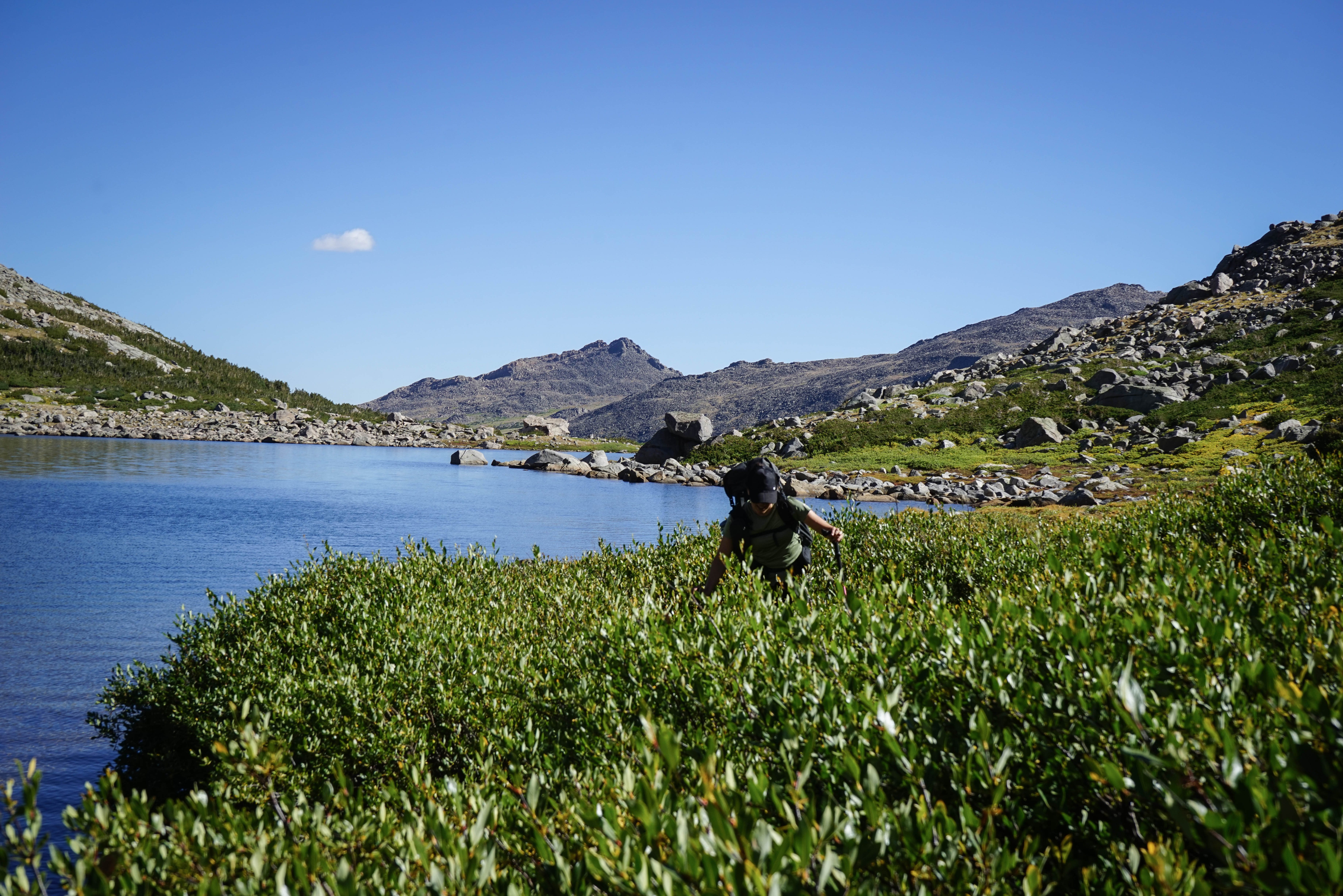
Shannon bashing through willows as we make our way around Roberts Lake.
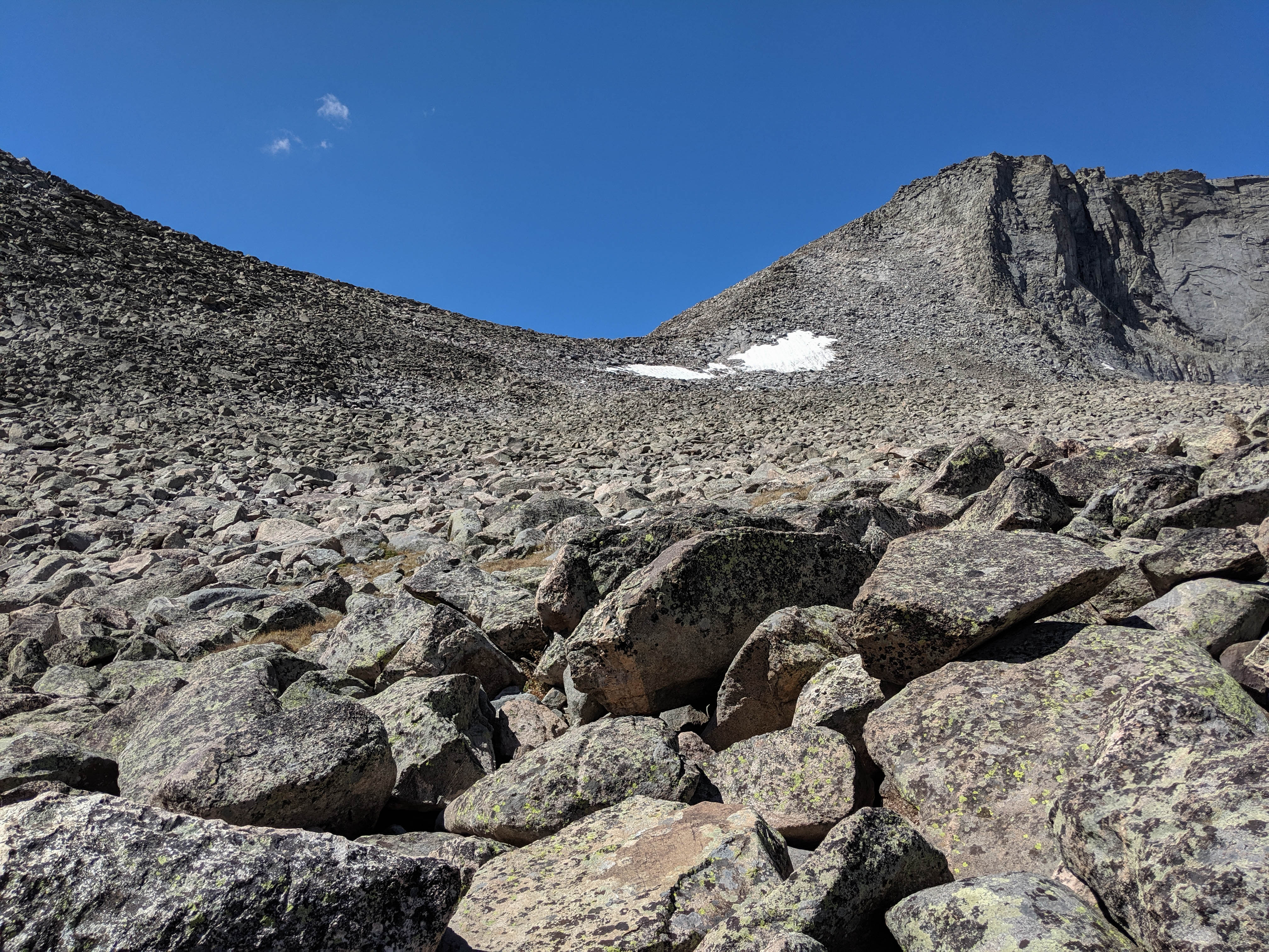
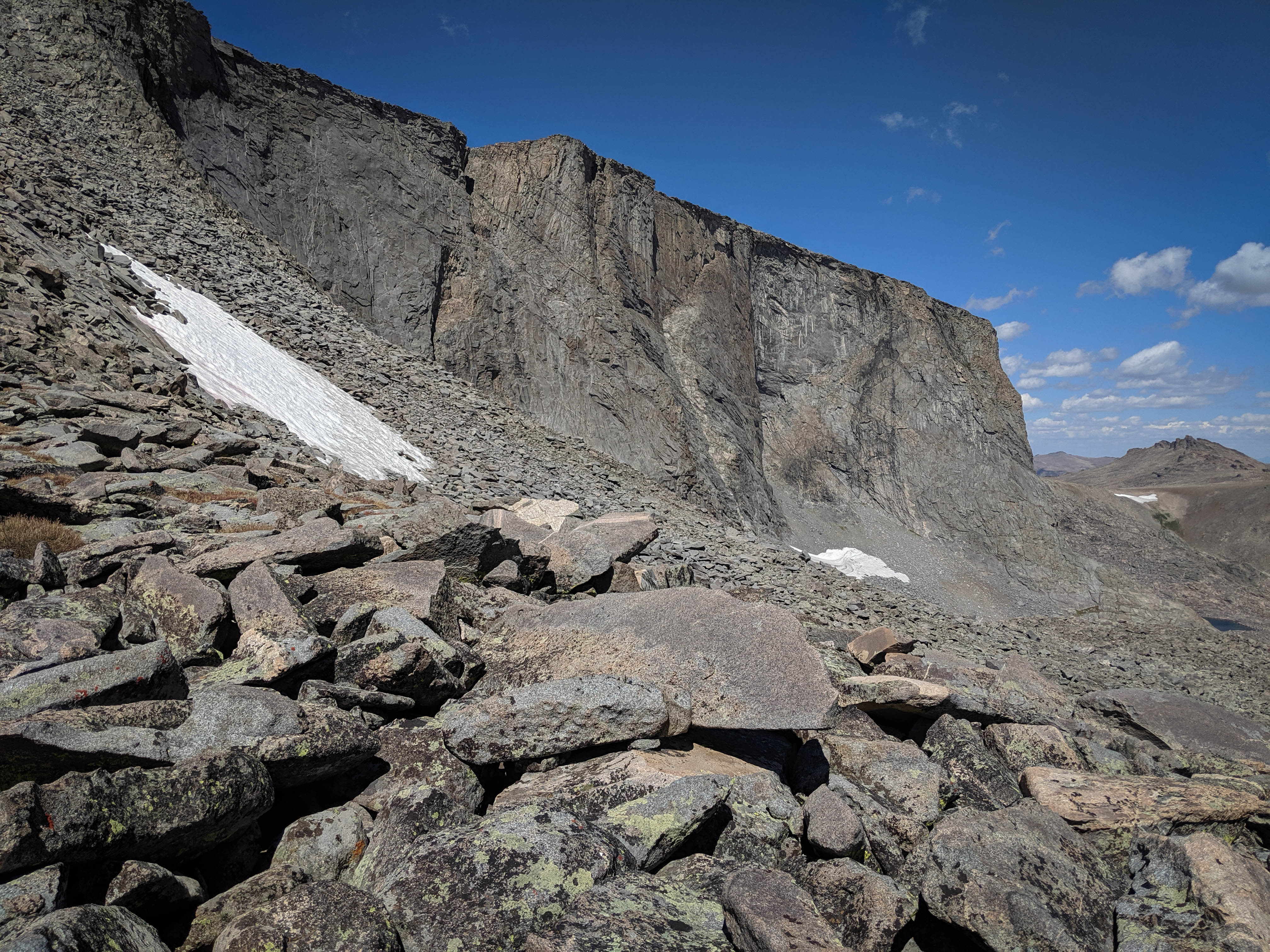
The view of the slope above Lake 11035. The first 300’ of this climb weren’t quite this talus-y, but it wasn’t easy walking either.
Pallister’s comment, “extensive talus” is very correct. Fortunately, it was mostly stable except for the uppermost section. It still made for very slow going.
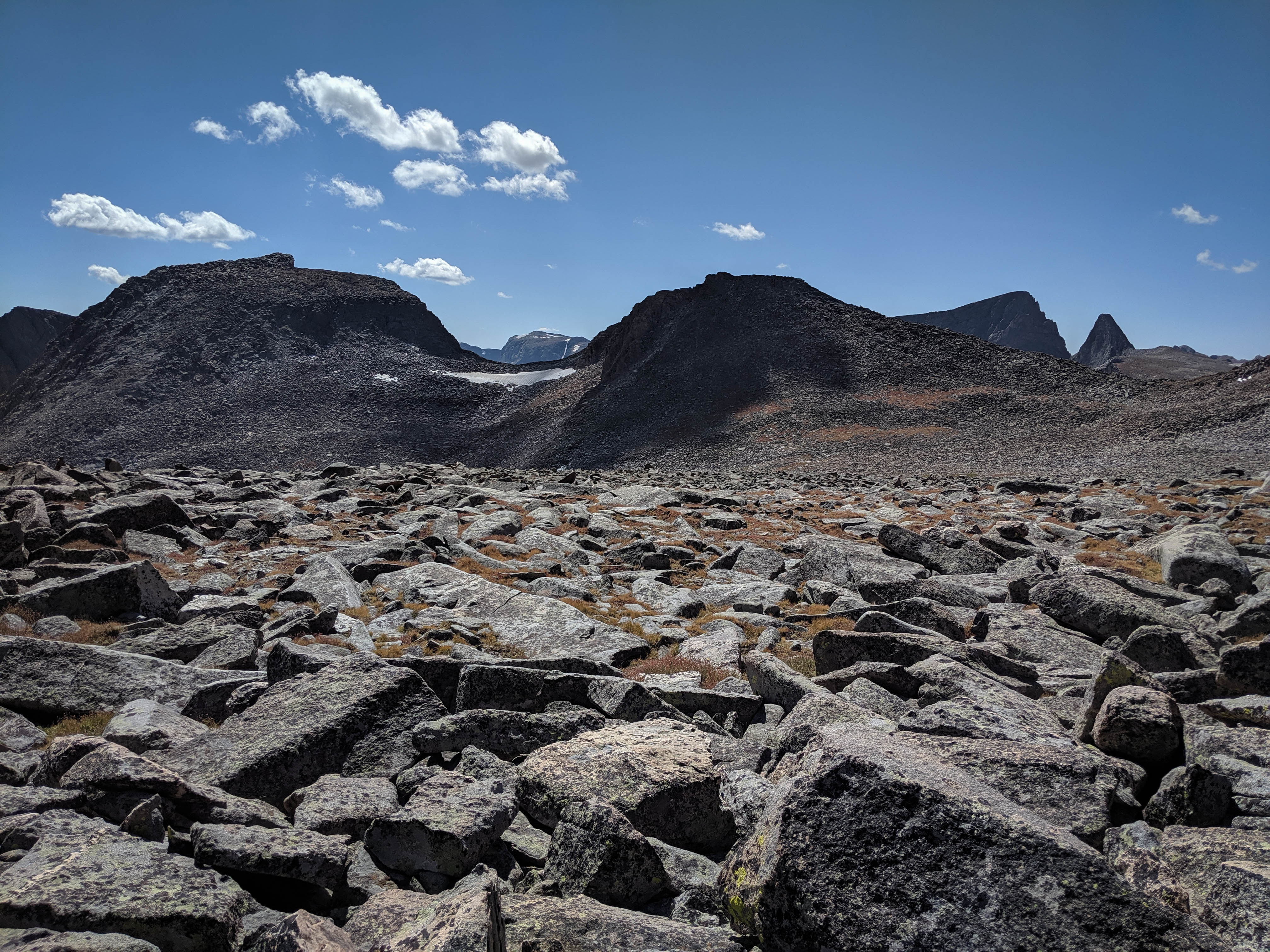
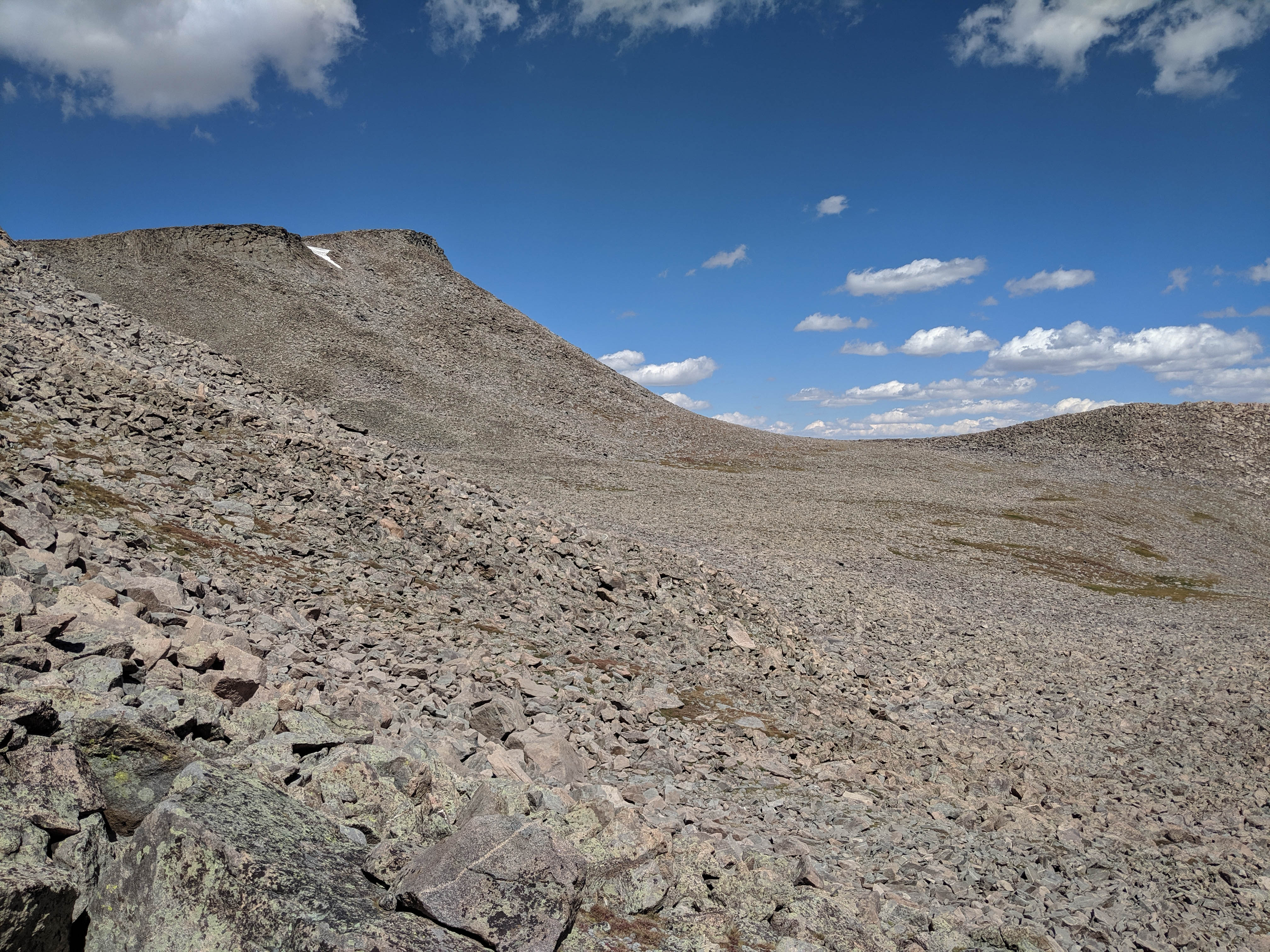
Looking across the saddle between the Roberts Passes. The terrain eased up for a bit with sections of tundra here and there.
Looking back at Roberts Mountain.
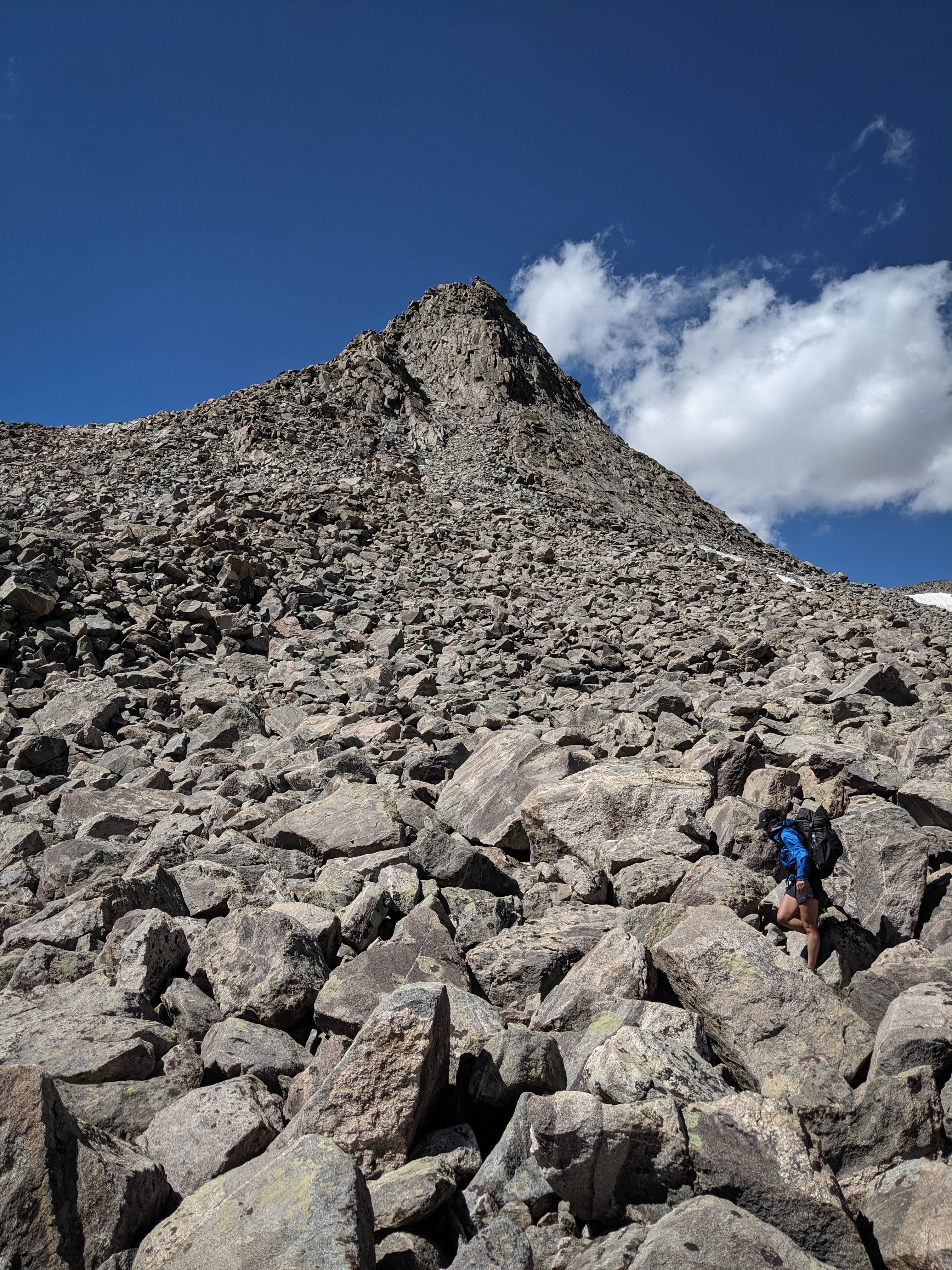
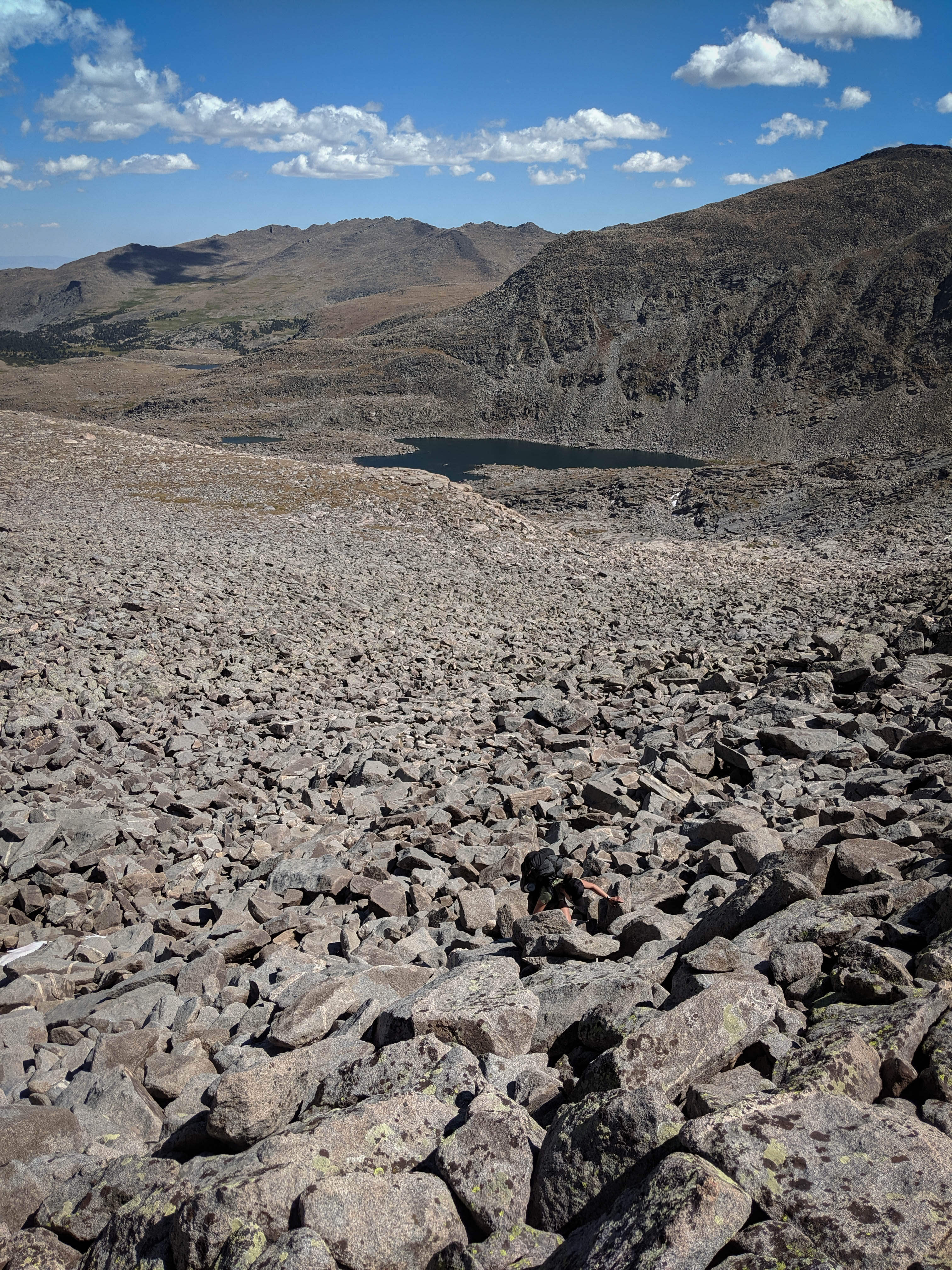
Nearing Roberts Pass West where the terrain turned to full-on talus again.
Looking back across the massive talus bowl. The travel through here was very slow and tedious.
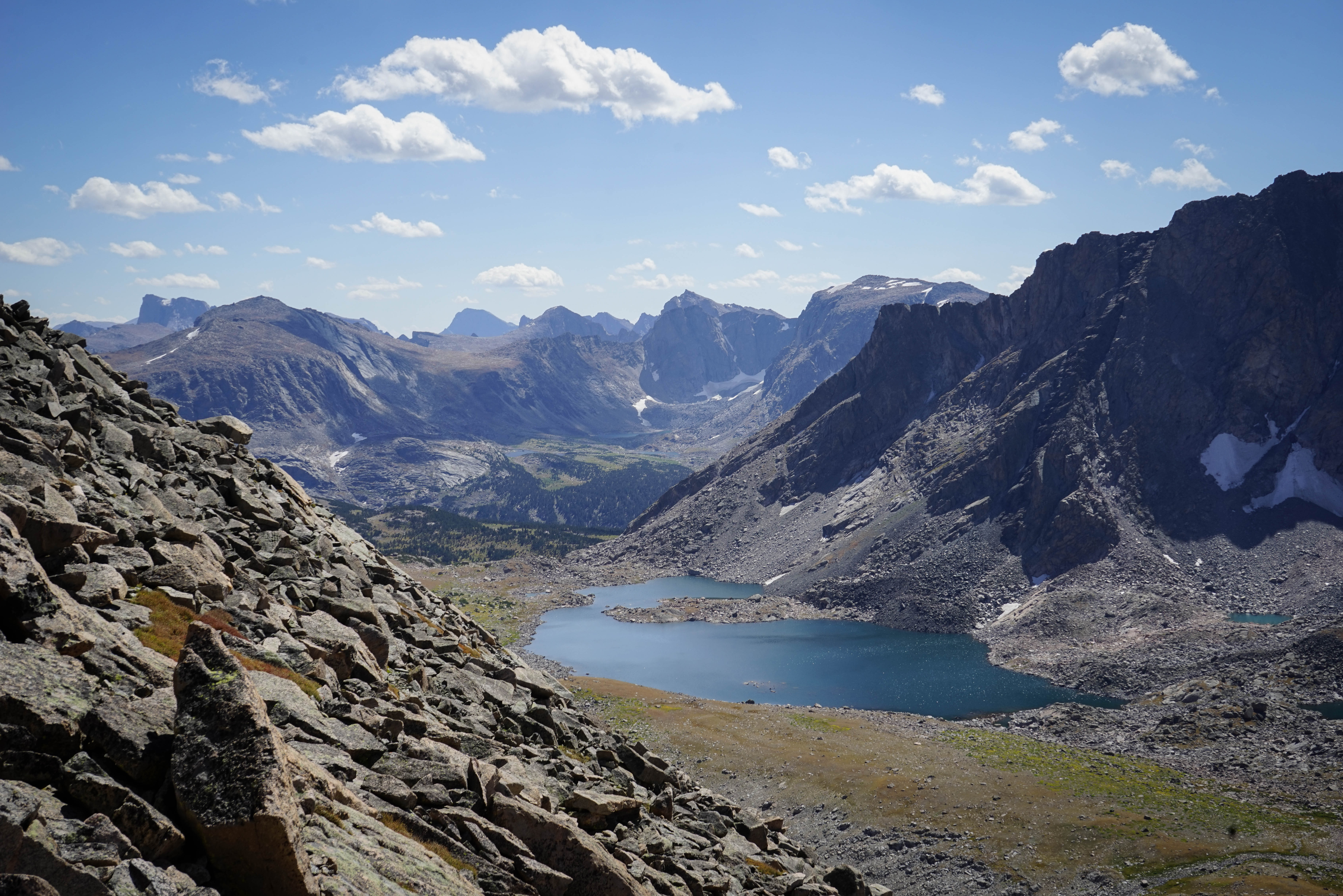
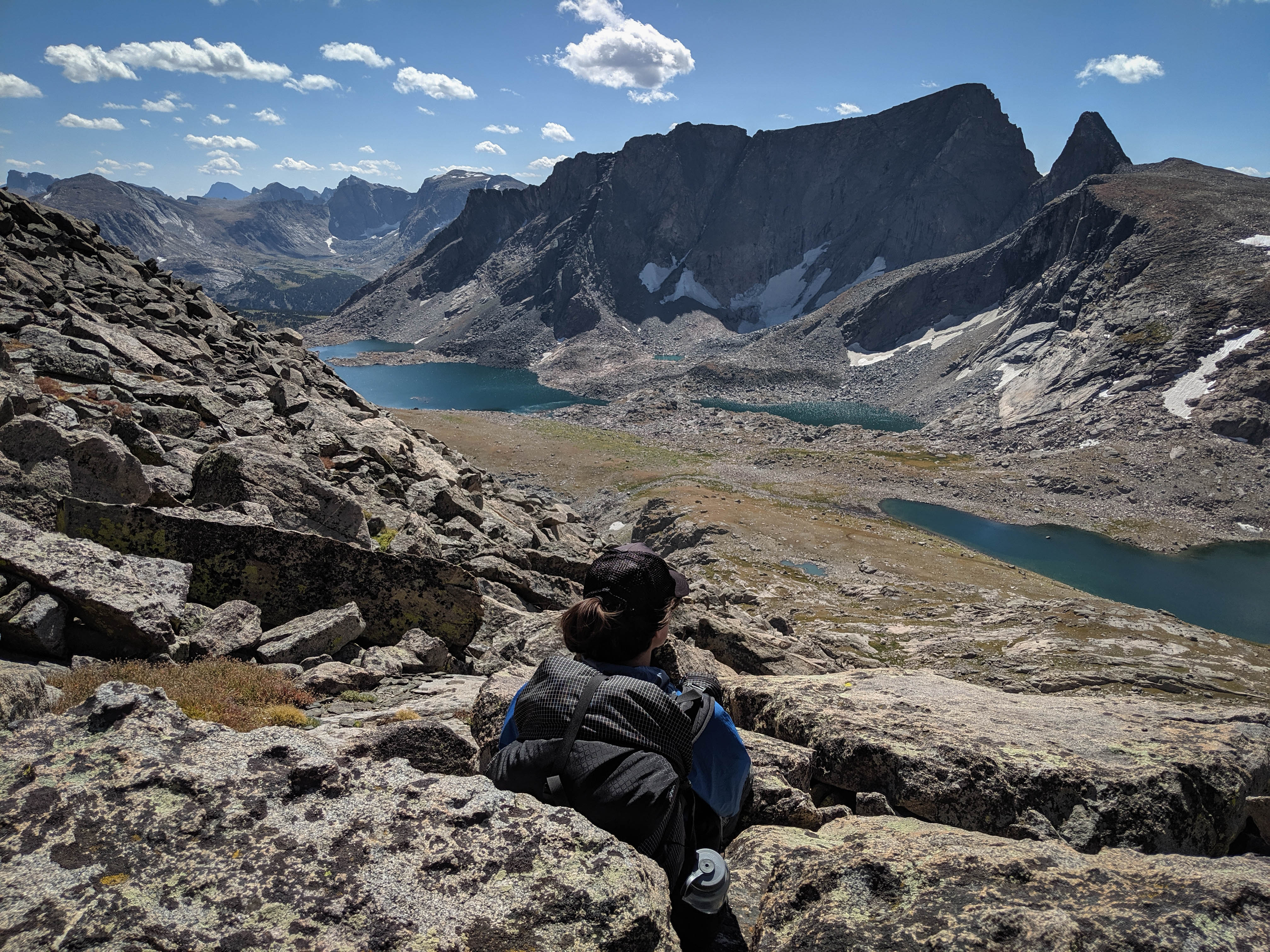
The view atop Roberts Pass West. The far end of the lake at the foreground is where we had turned around yesterday.
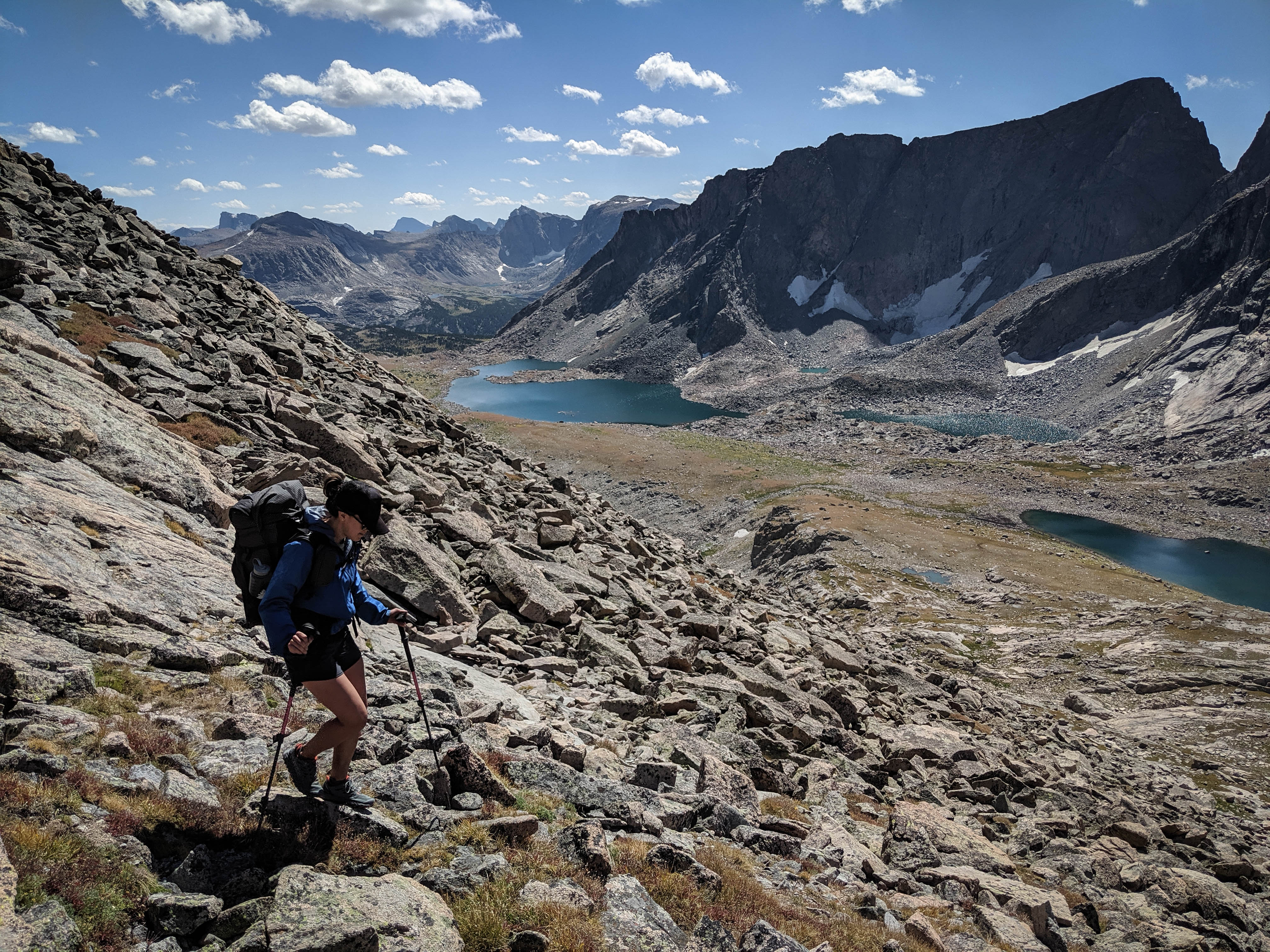
Shannon making her way down Roberts Pass West. The top part was steep but easy, in the middle there was 200’ or so that involved a couple of tricky downclimbs before the slope eased again.
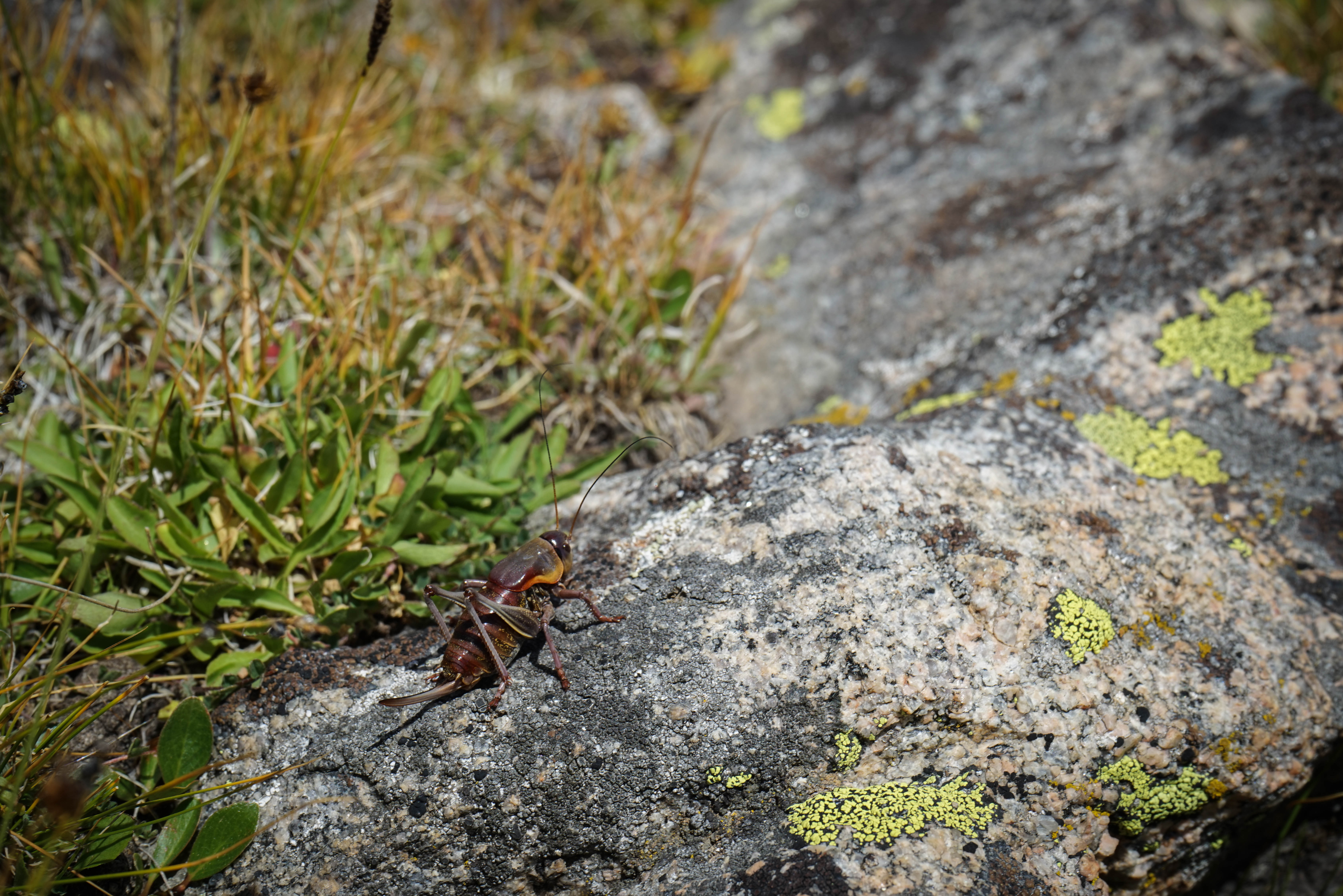
We saw tons of these grasshoppers.
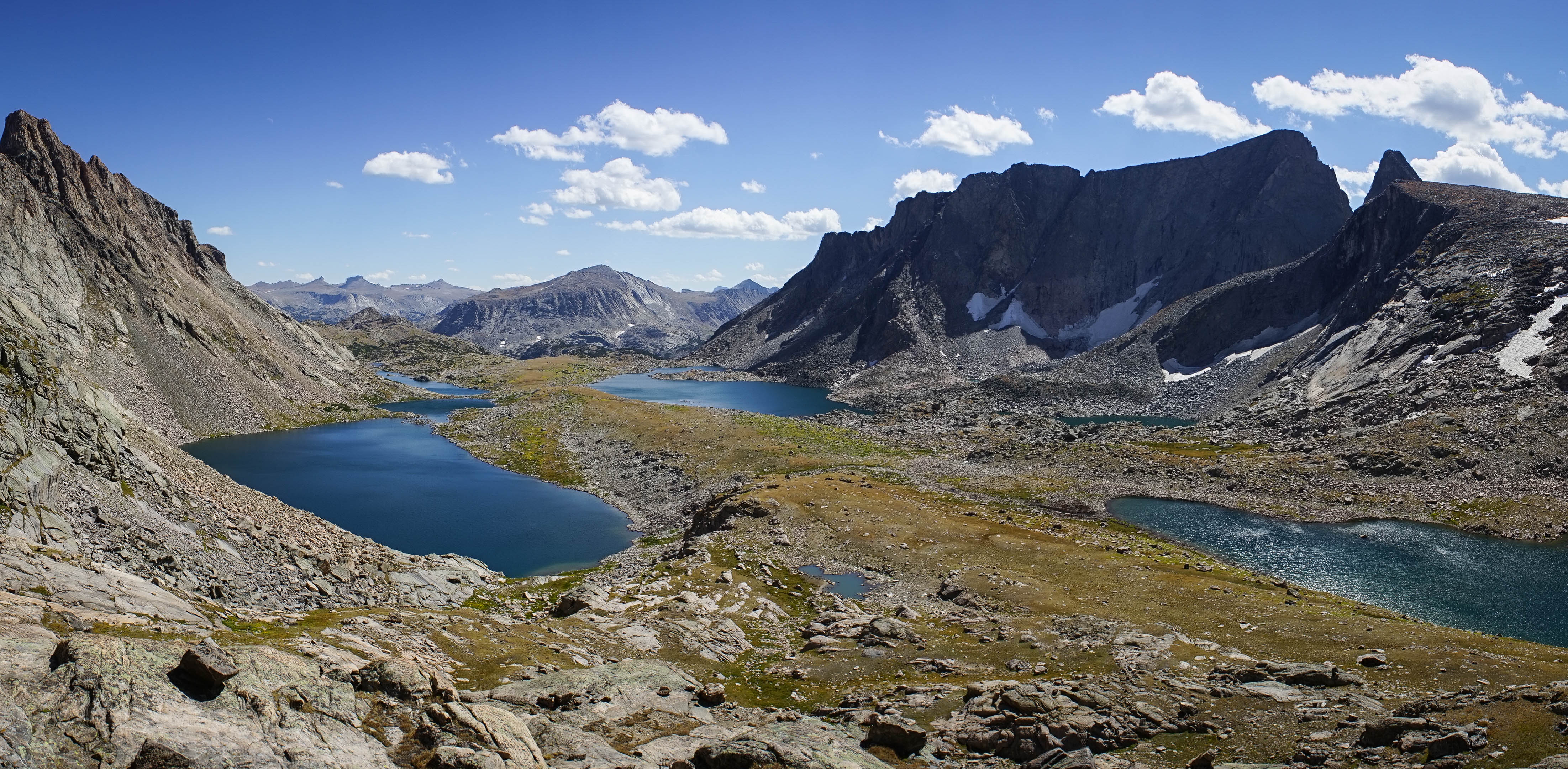
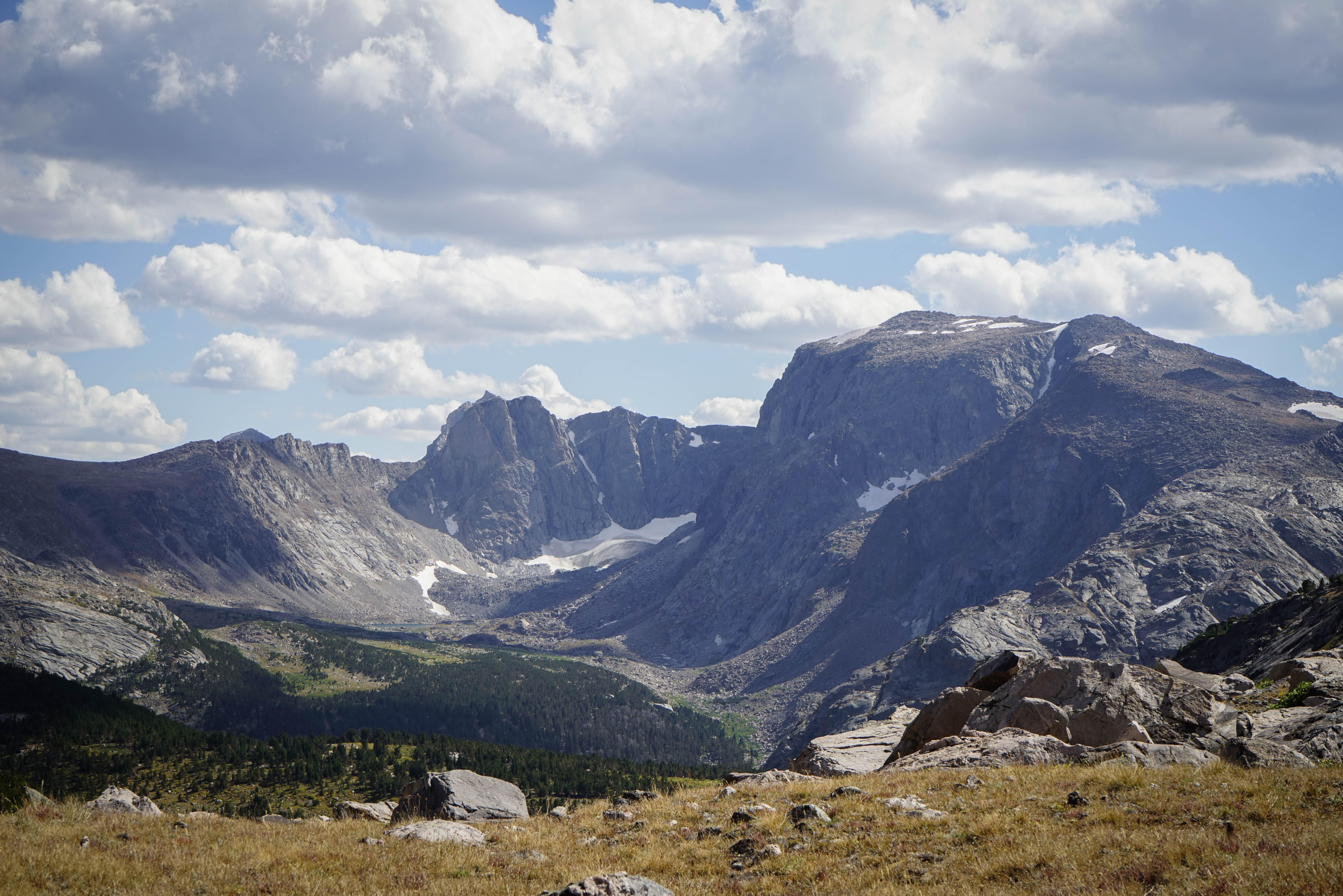
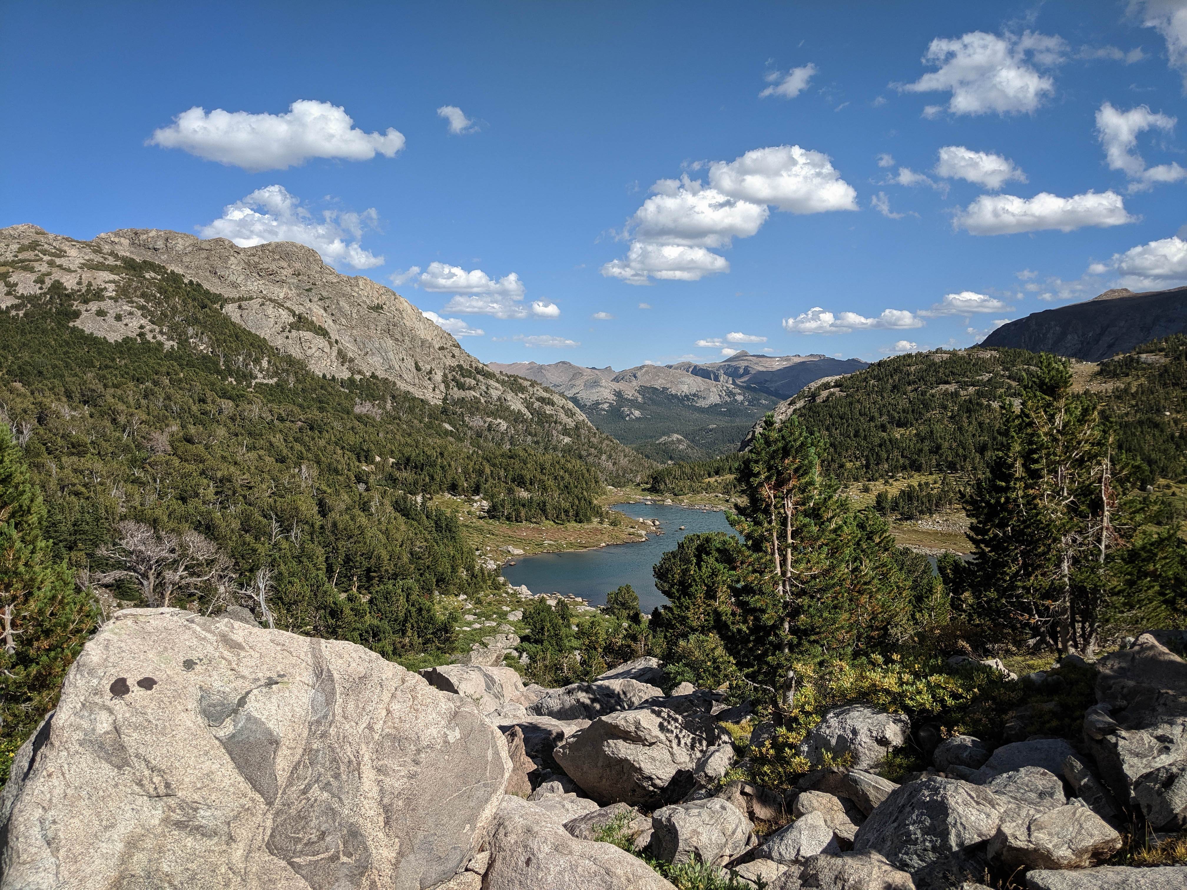
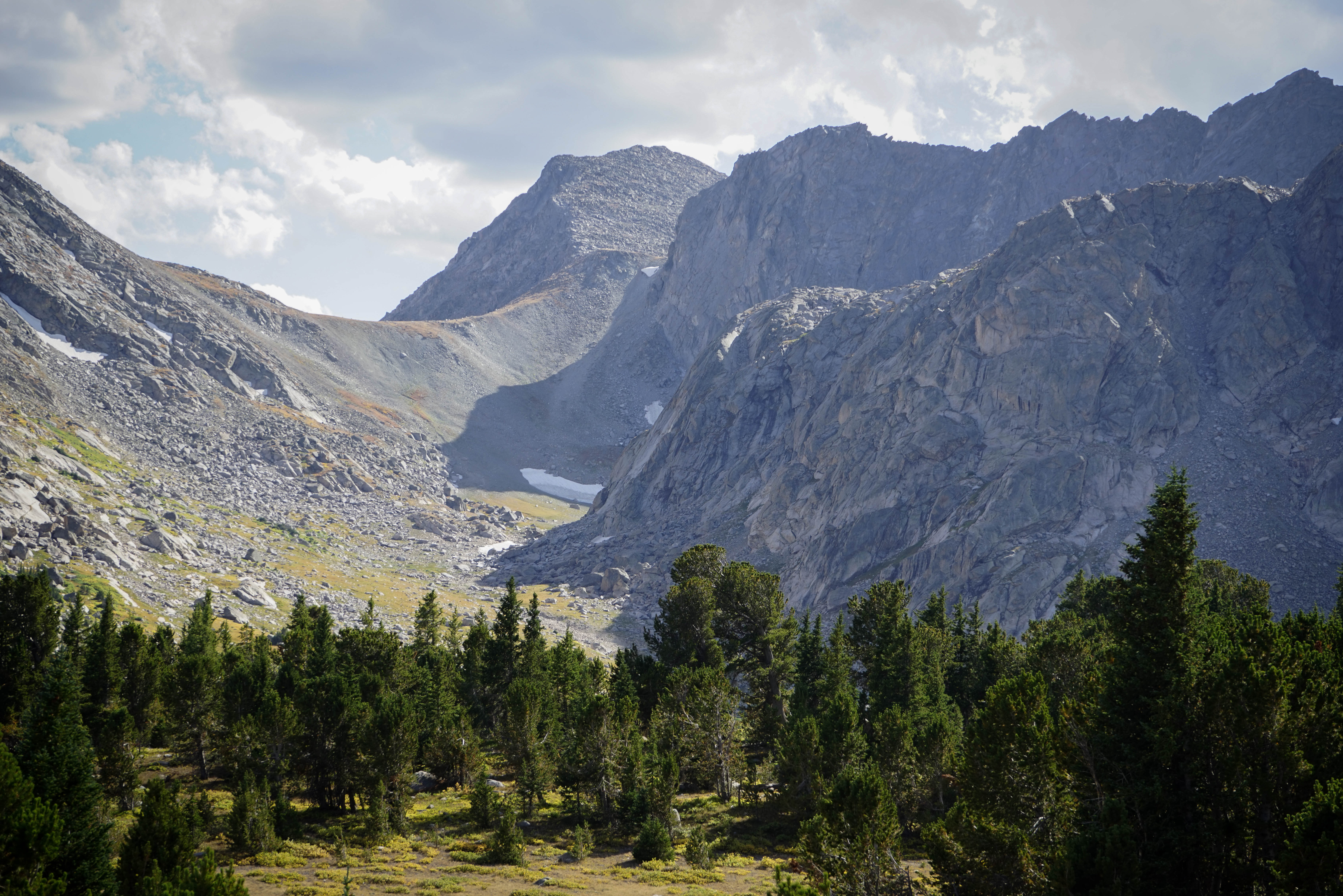
Panoramic view of the Grave Creek headwater basin.
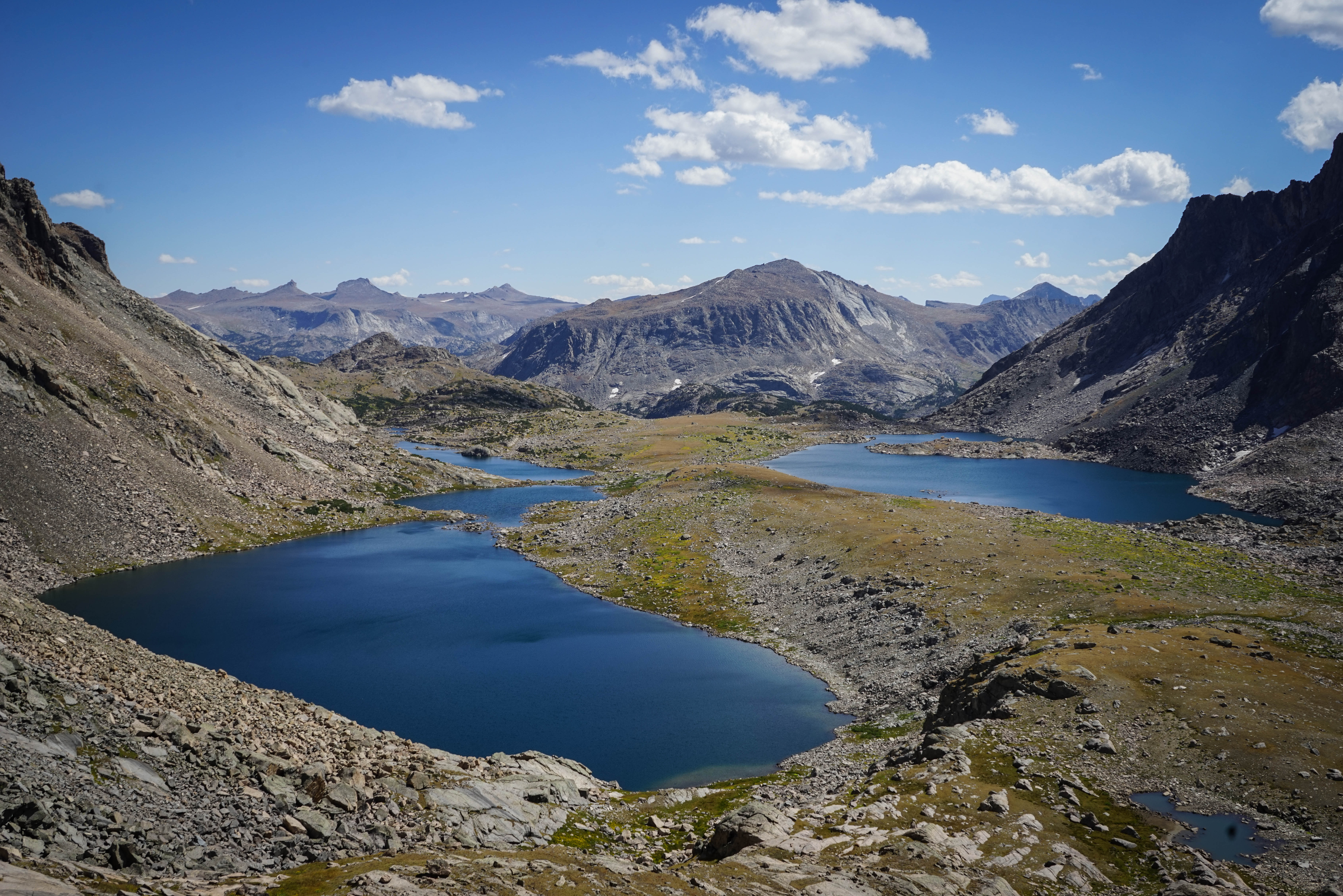
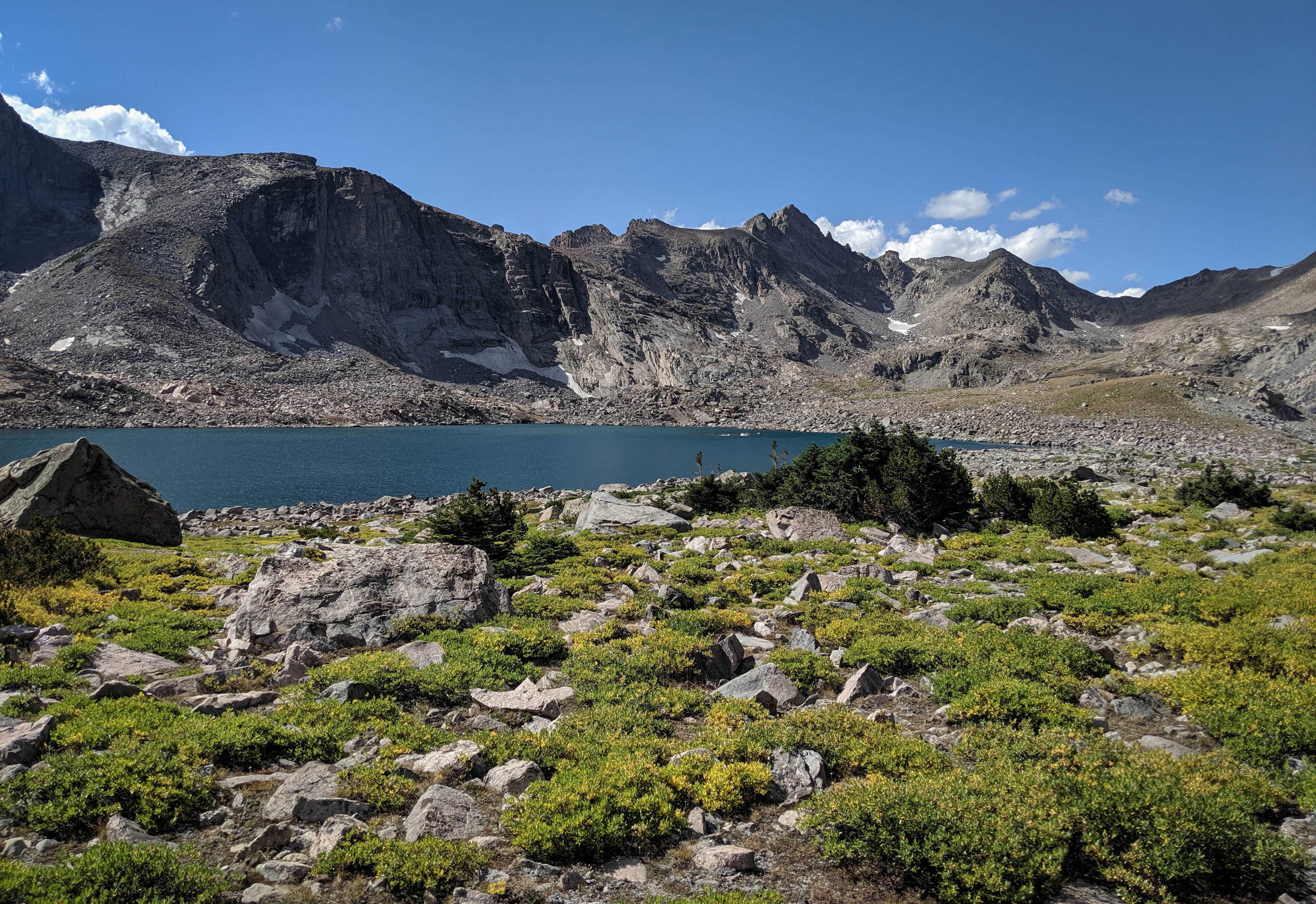
A couple of the larger lakes. This would be a very fun spot to spend a day fishing in each of these different lakes. Maybe another time!
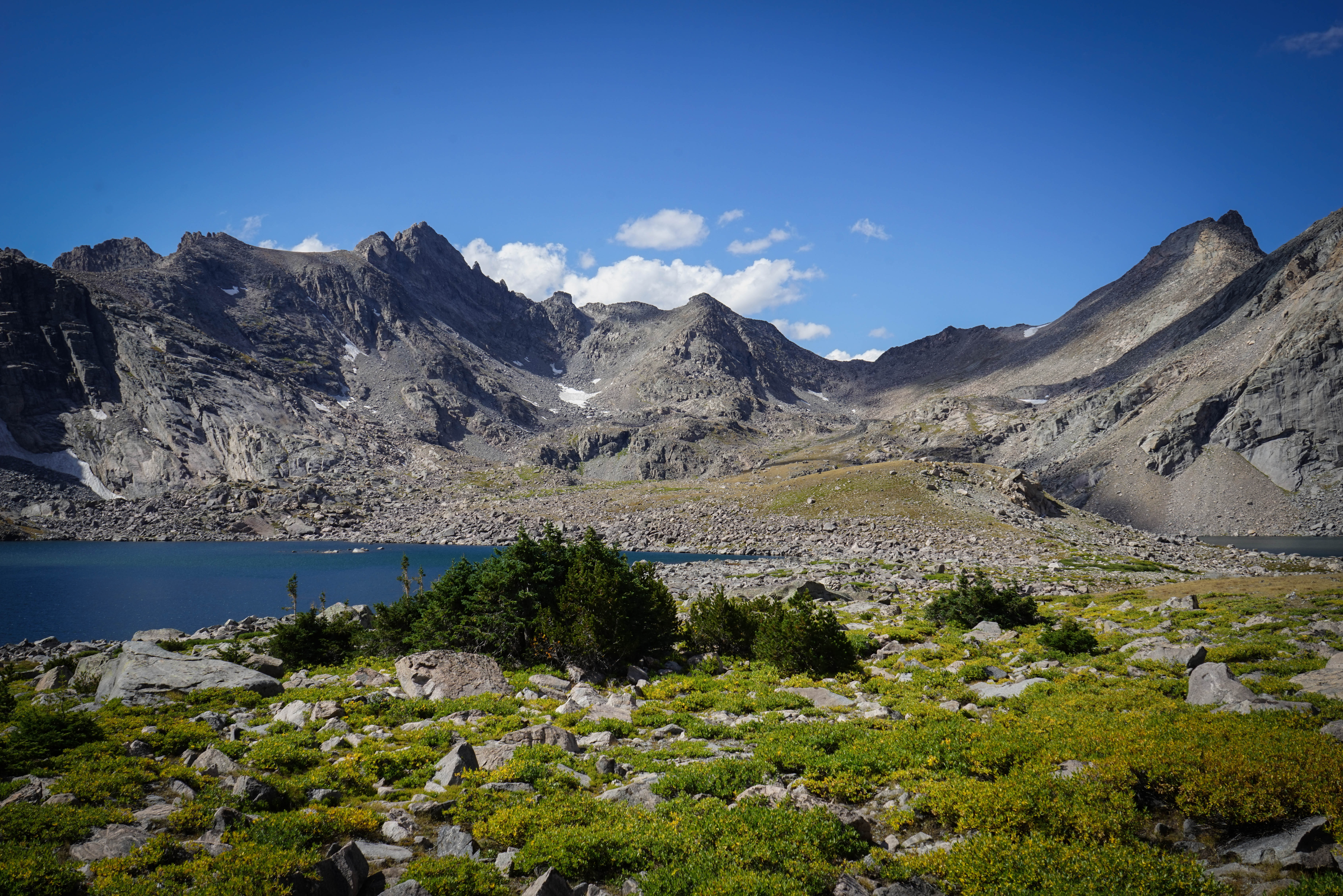
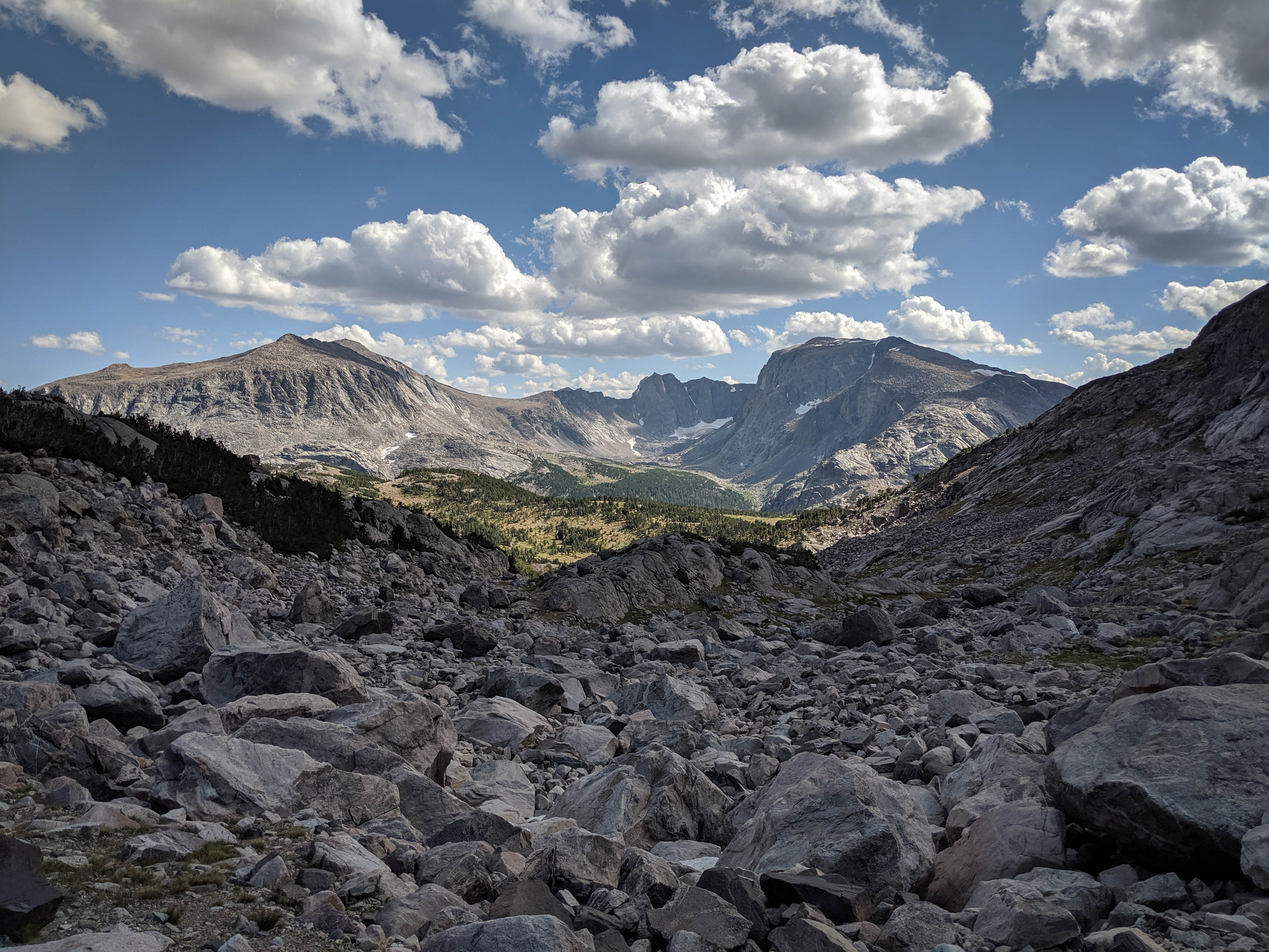
Views of the drainage basin. In the last couple of photos you can see the route to Roberts Pass West, up the obvious ramp and then a sharp right to the saddle.
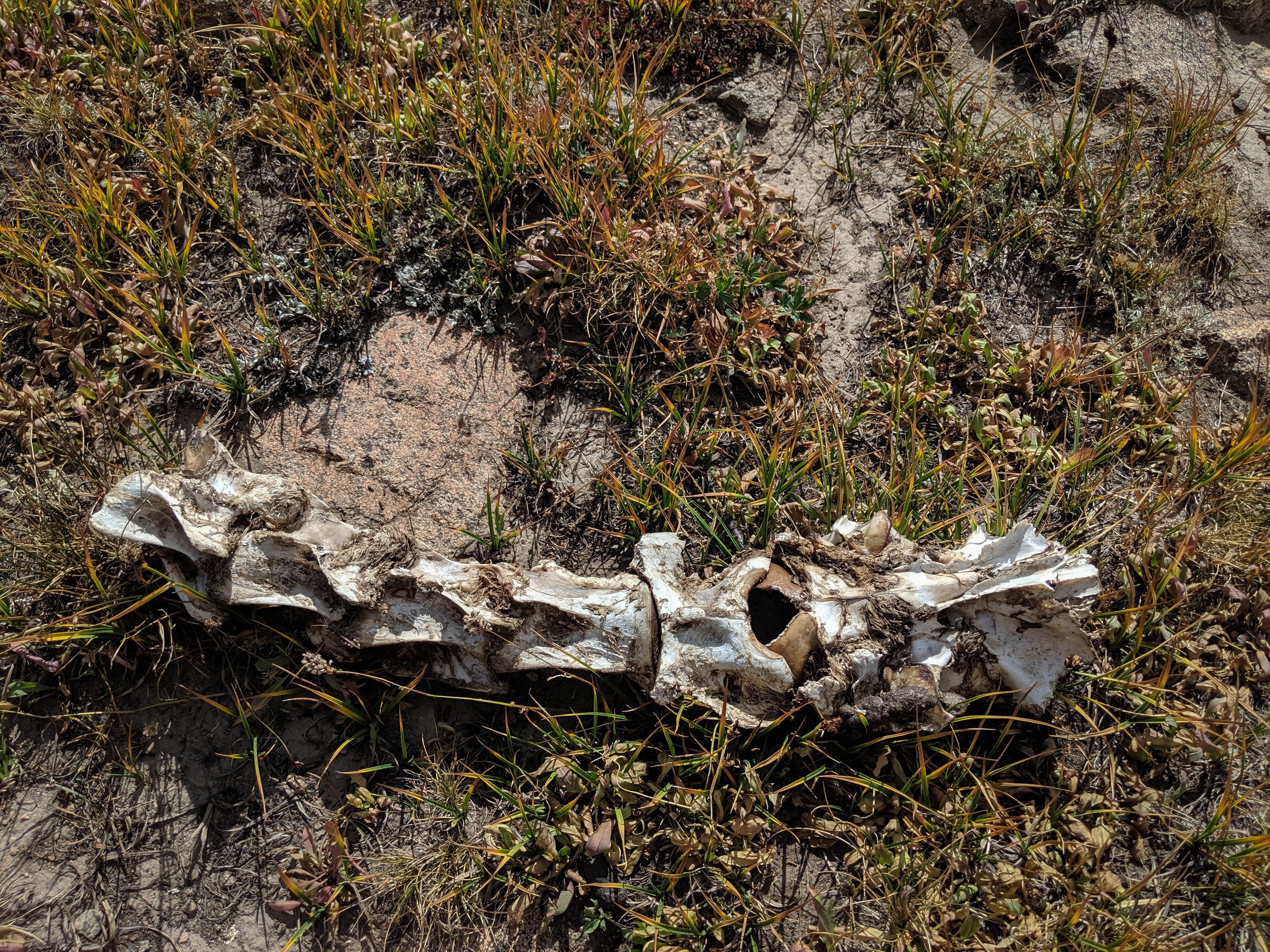
We came across the remains of another elk up here. This size of these bones was impressive, it must have been a large elk.
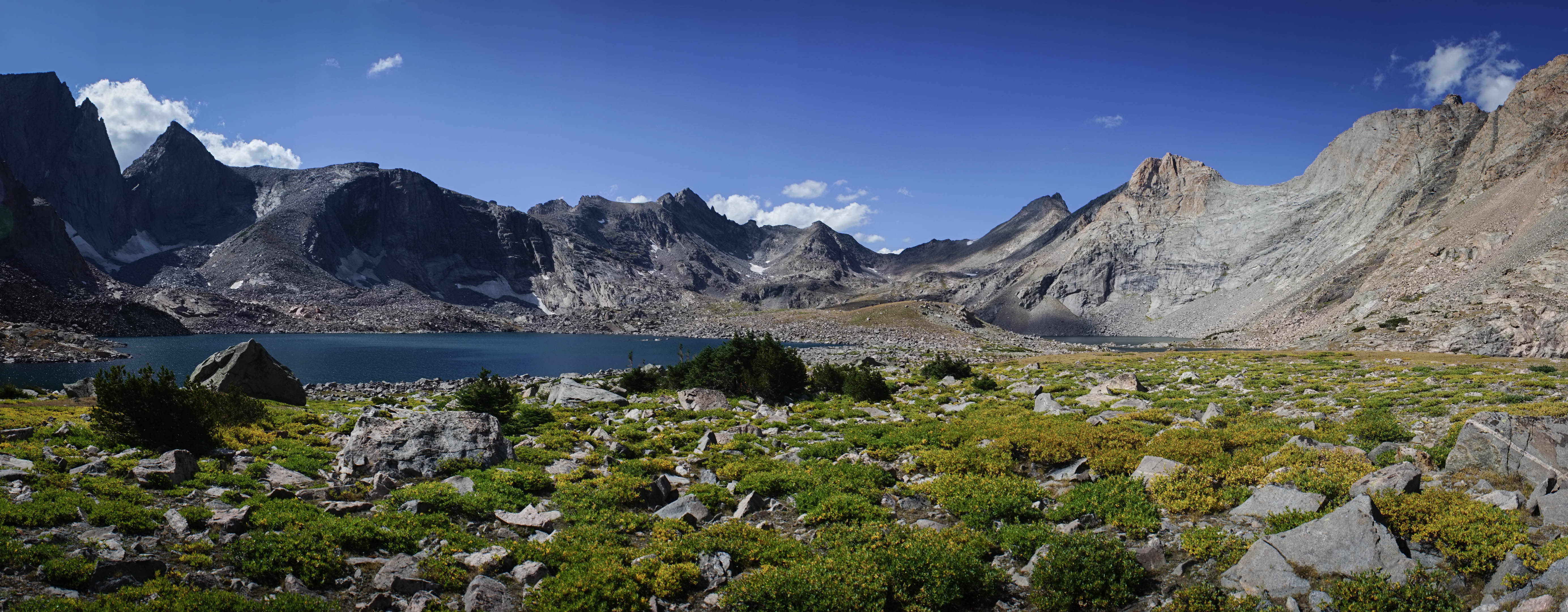
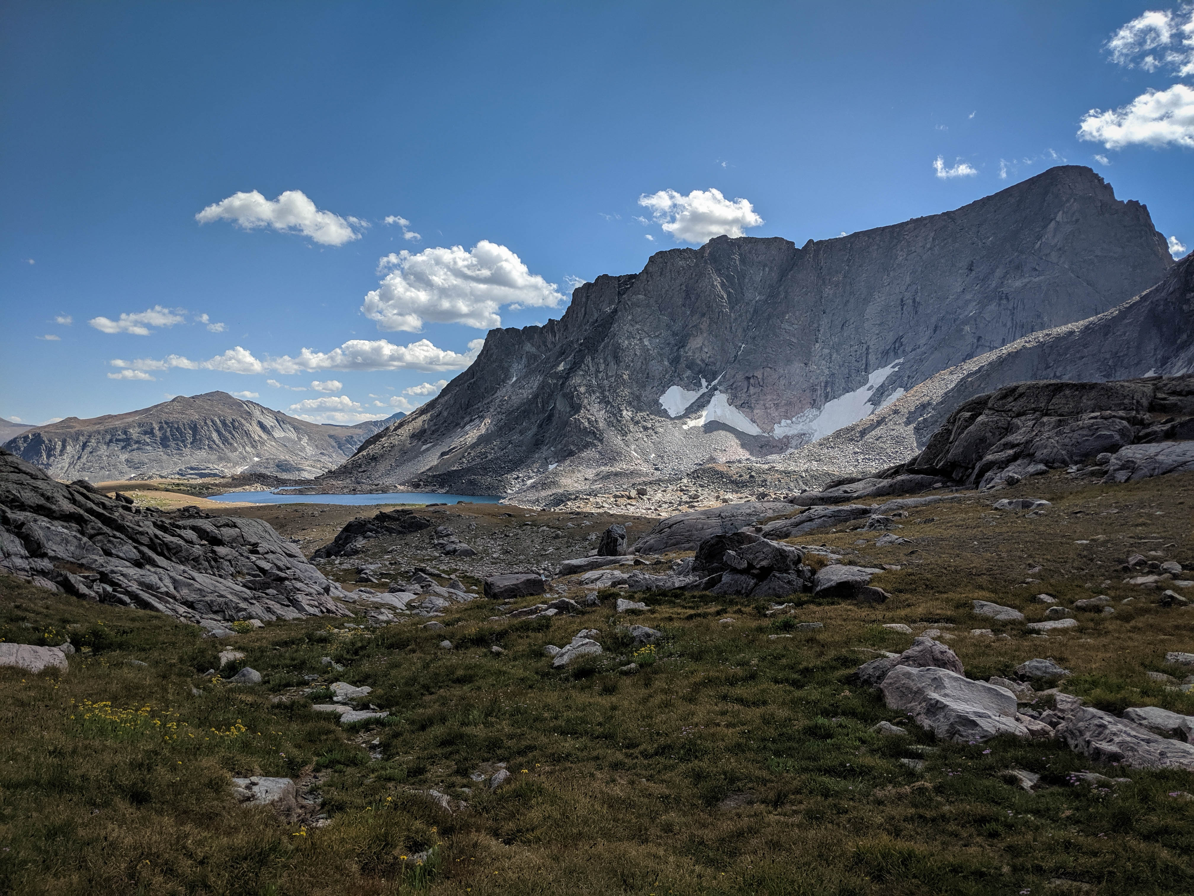
A couple more shots of the Grave Creek basin before heading down.
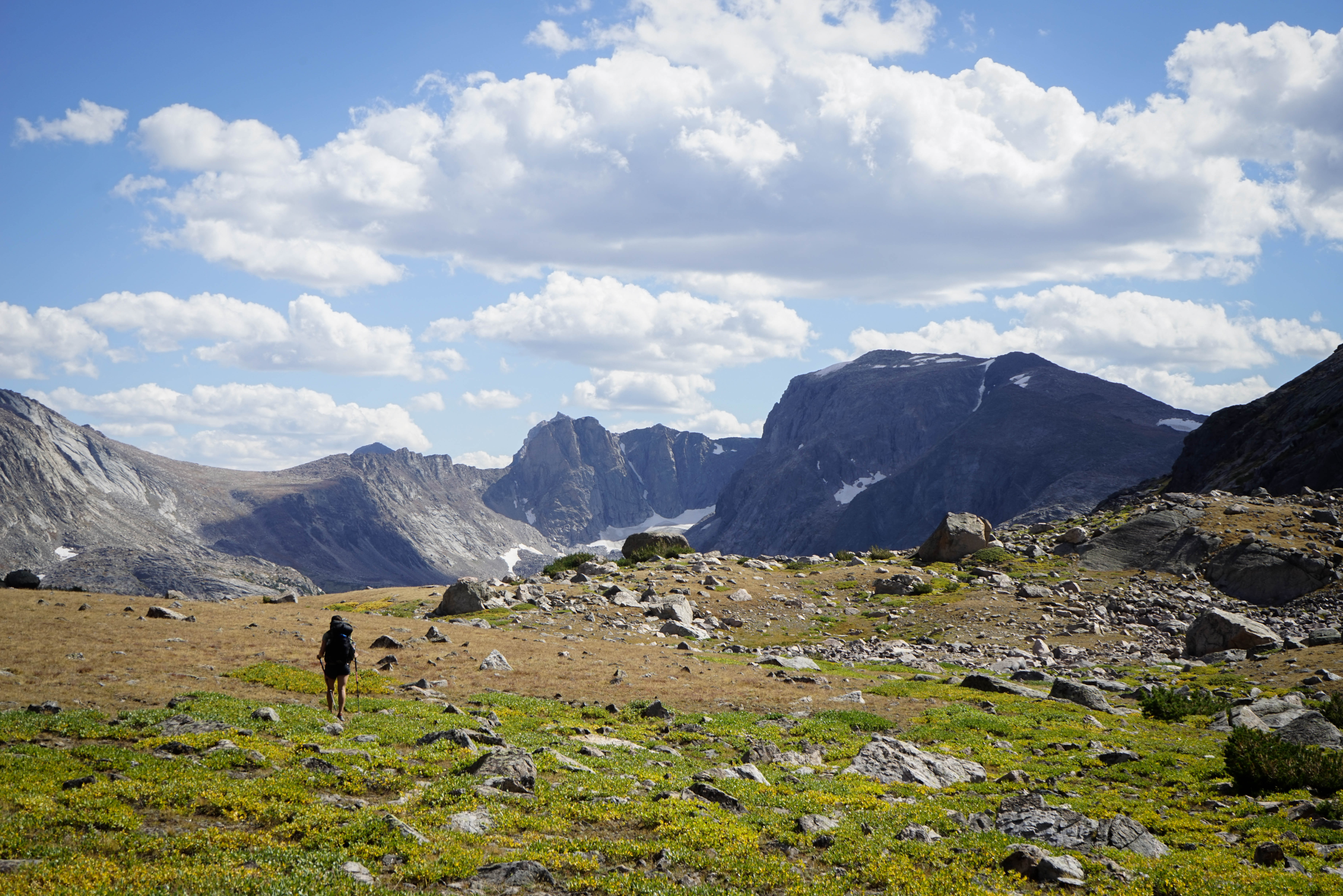
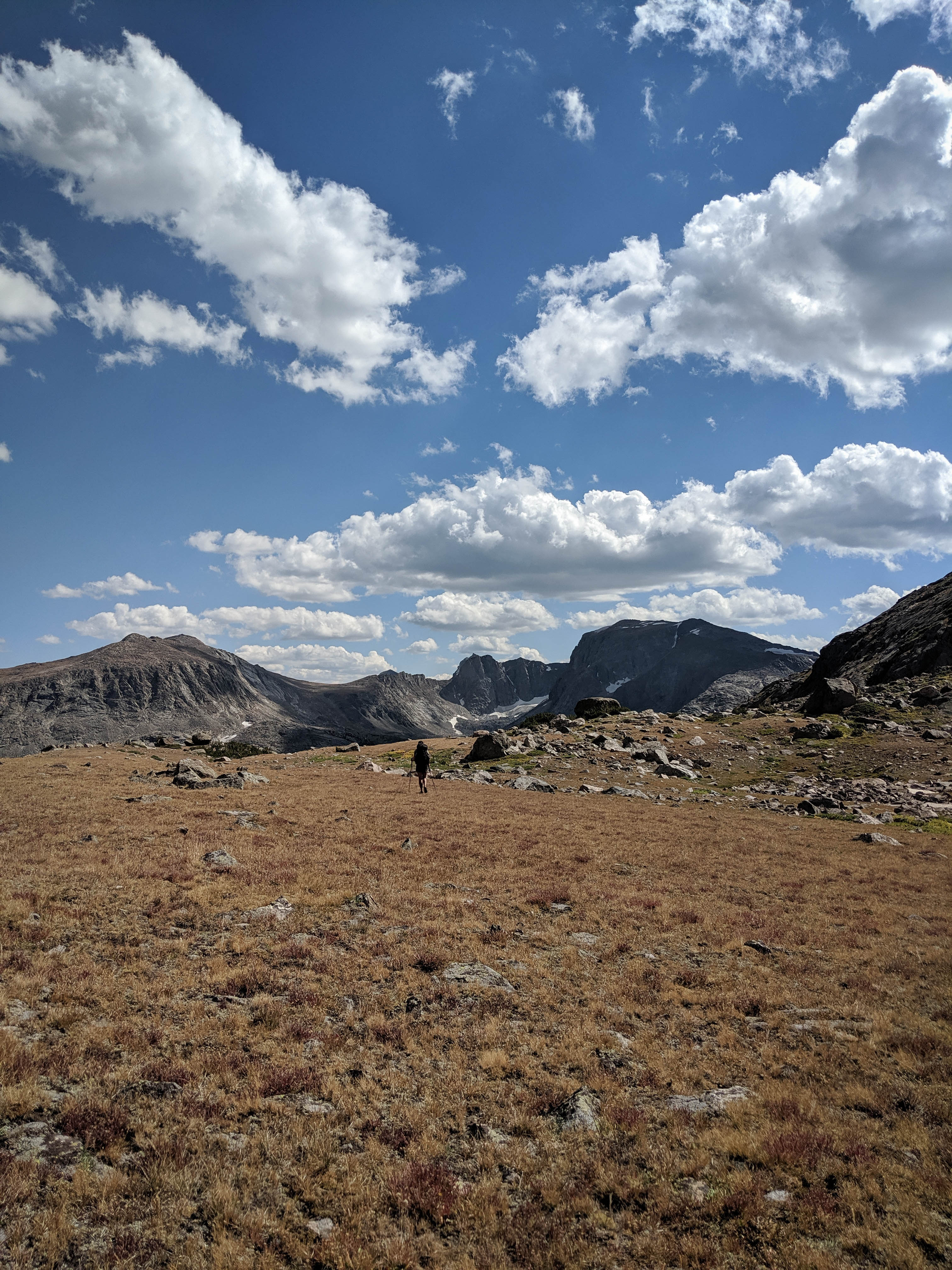
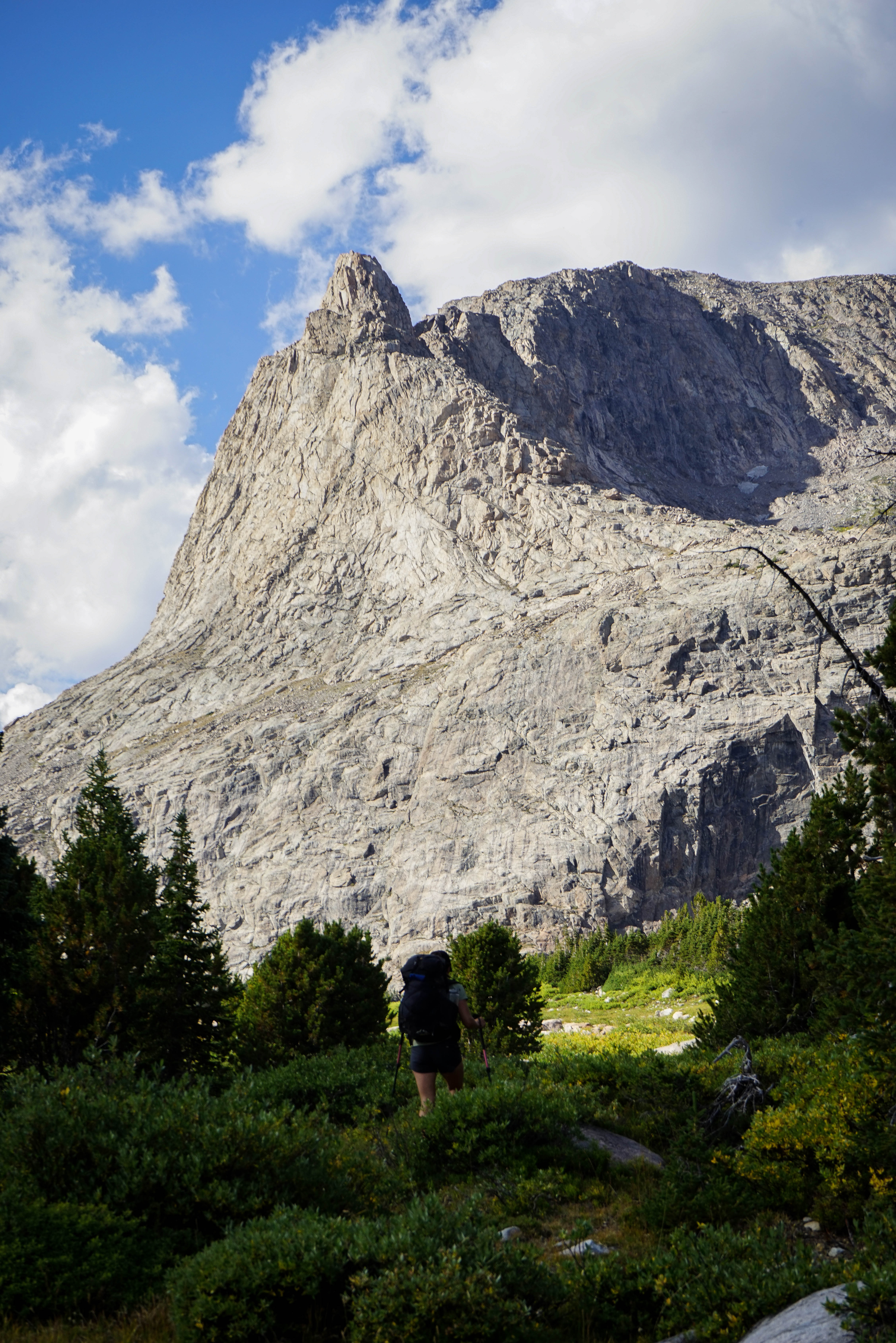
Shannon walking across the tundra towards the descent route to the trail. There’s nothing like the feeling of some easy tundra walking after several hours of talus hopping!
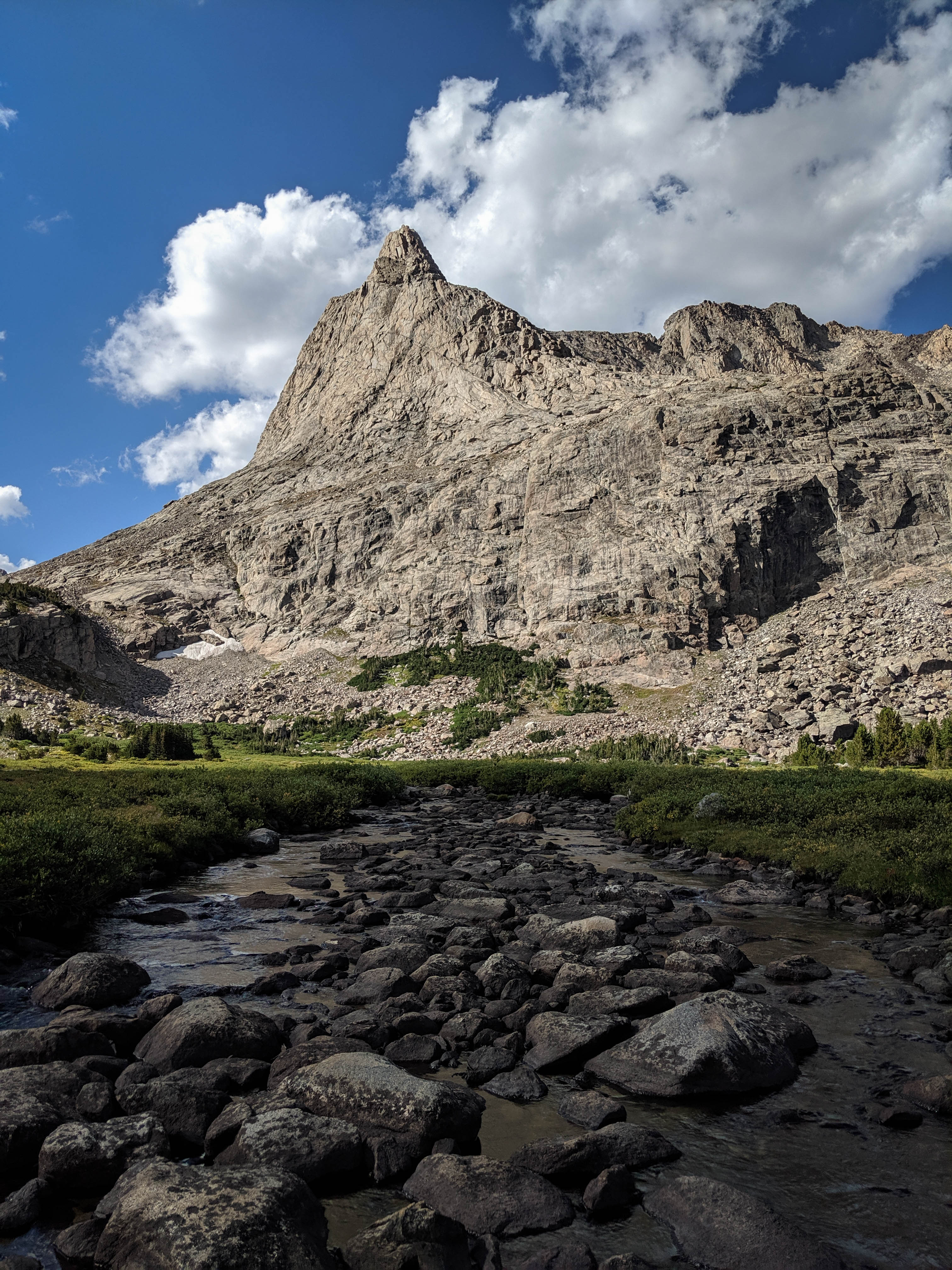
The basin directly south of us, which doesn’t have any names on the USGS map except for Lakes 10604 and 10568. There’s a small glacier sitting under the shaded north face of the mountain.
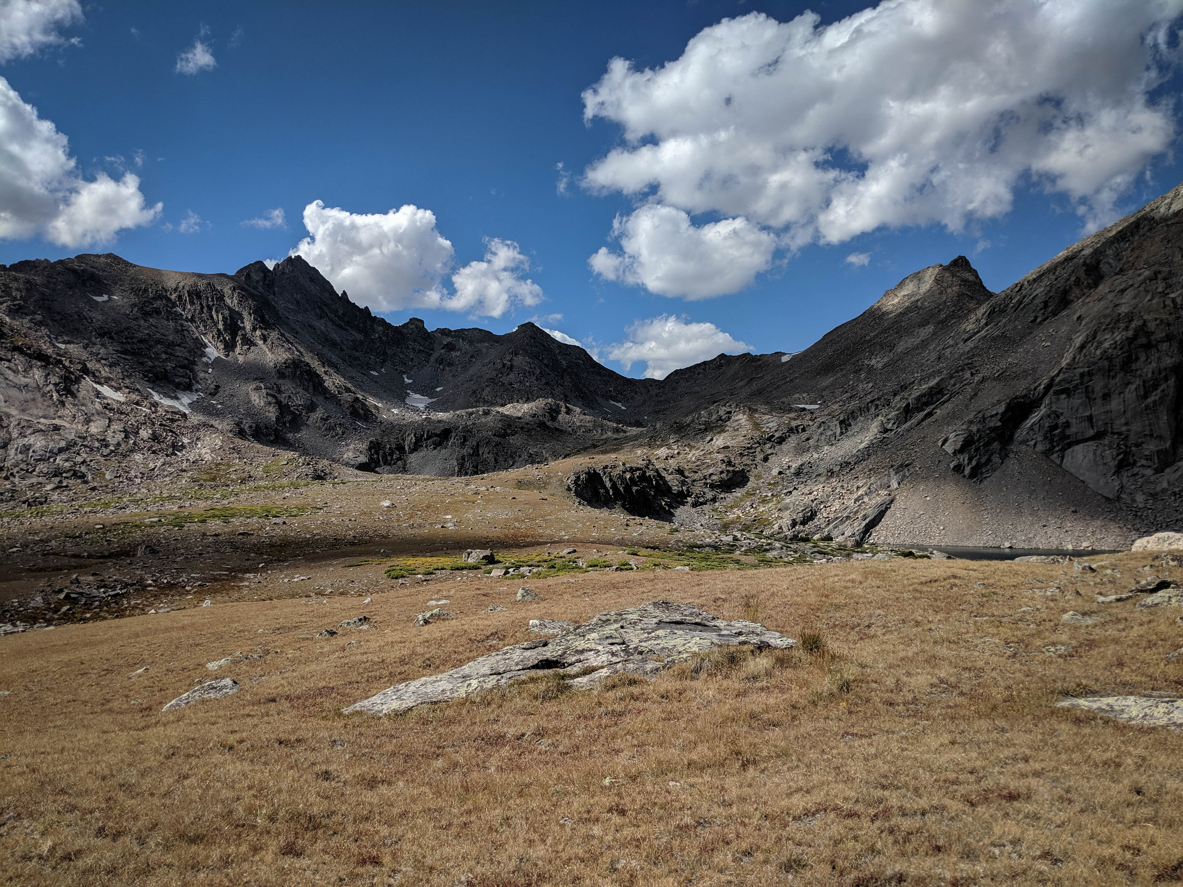
The field of talus we had to cross on our descent back to Baptiste Creek.
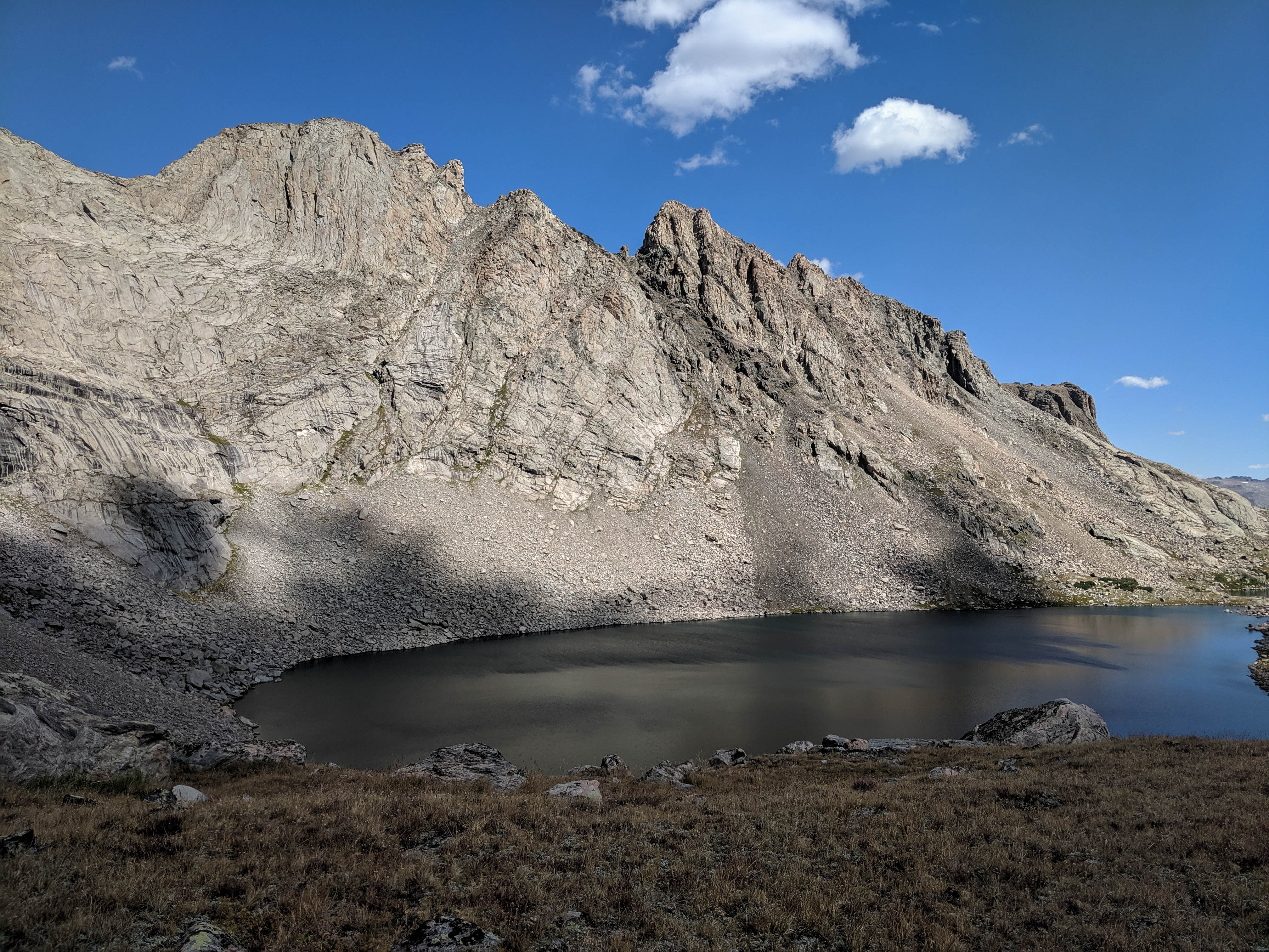
Overlooking the small lake at 10,500’ again, under fairer weather this time.
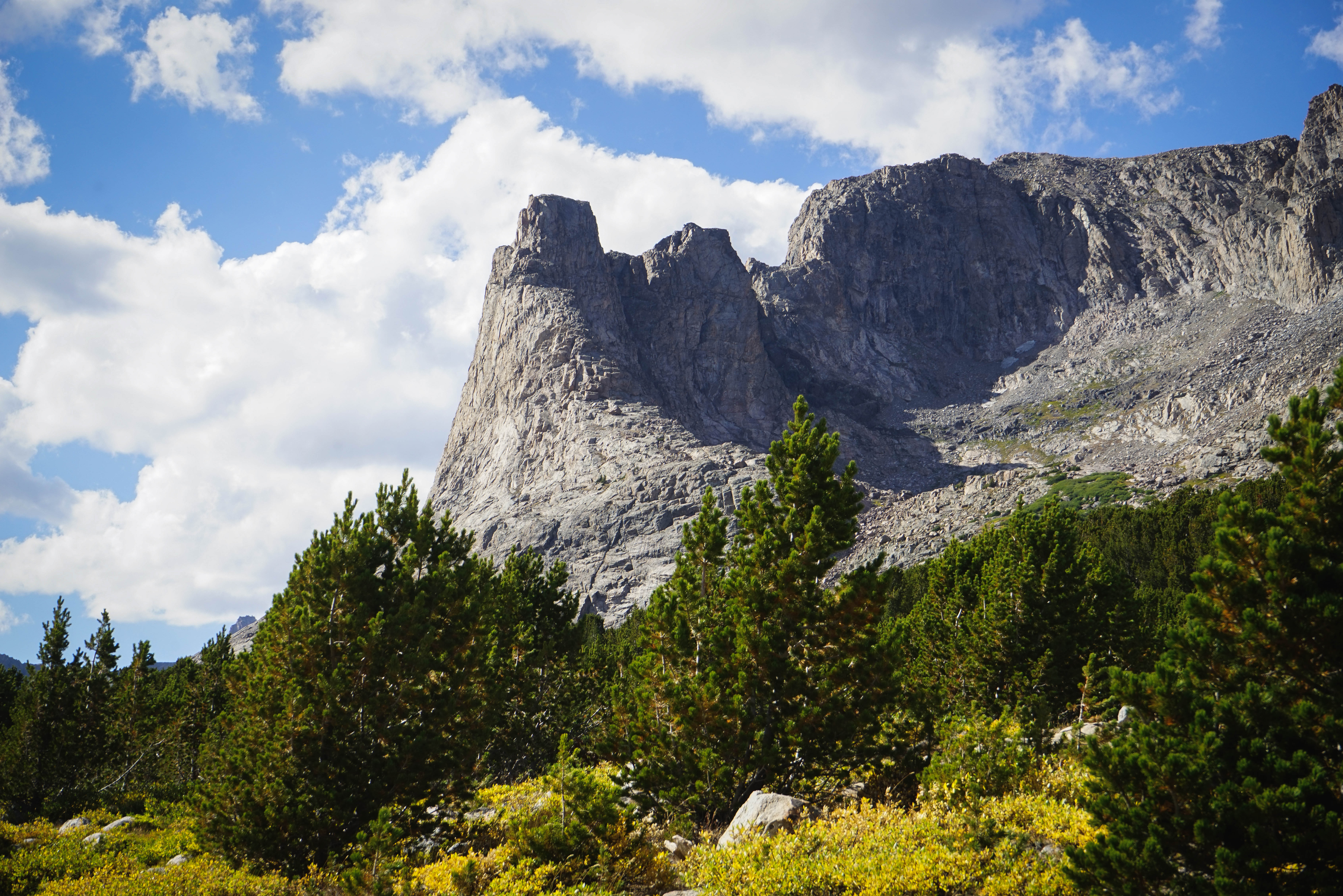
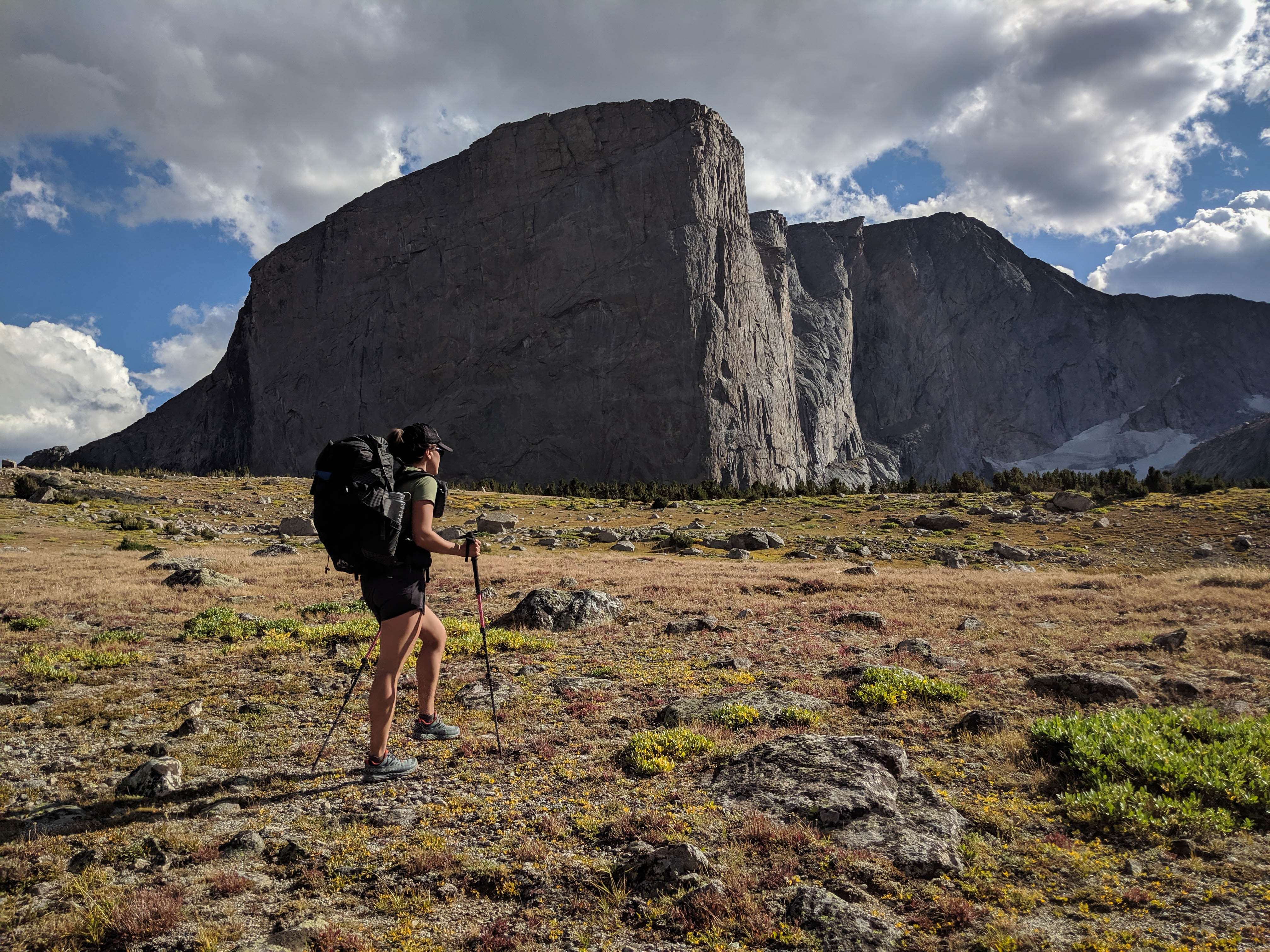
Another shot of Baptiste Creek and Musembeah Peak.
Hailey Pass from afar. The trail up the pass is just barely visible.
Shannon hiking across the tundra to one of the forested camps near Baptiste Lake.
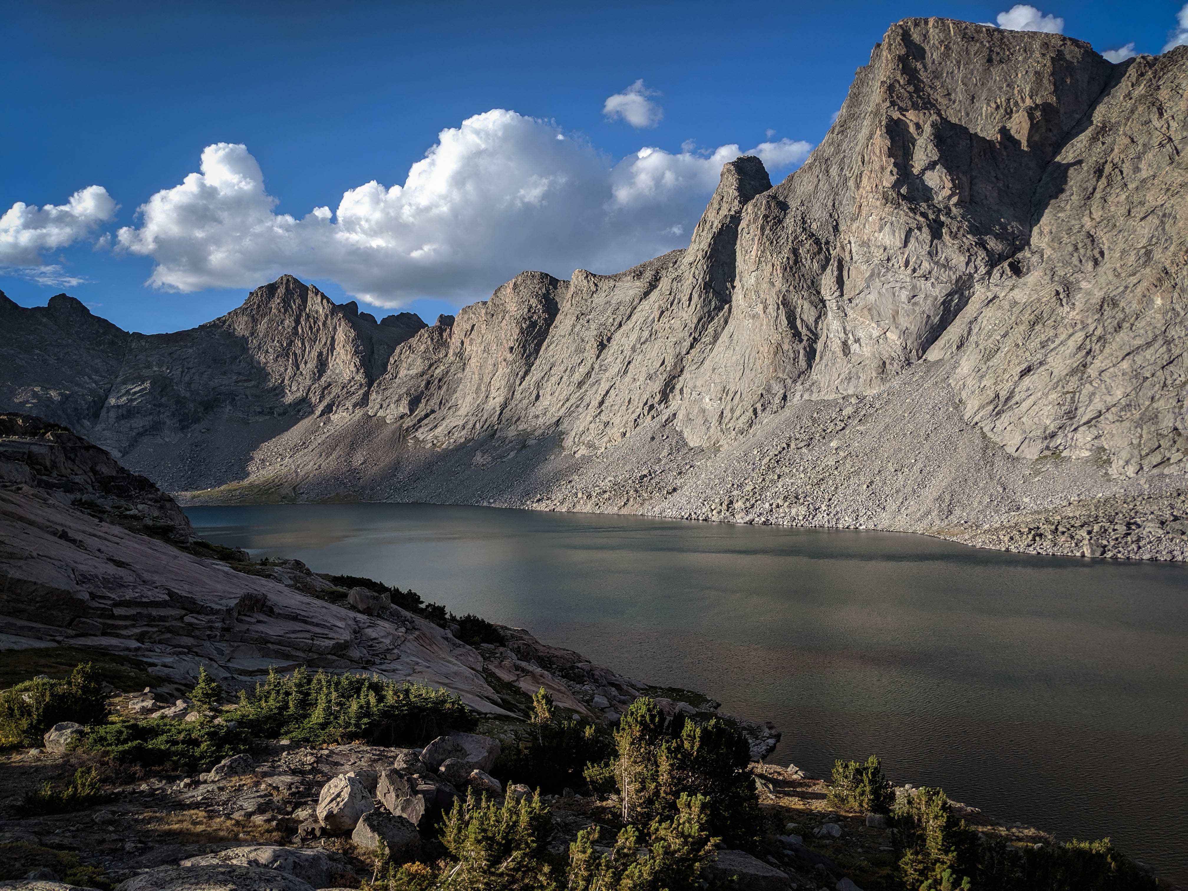
I went on a little walk to the top of the hill along the southwest short for some views of the Baptiste Lake basin.
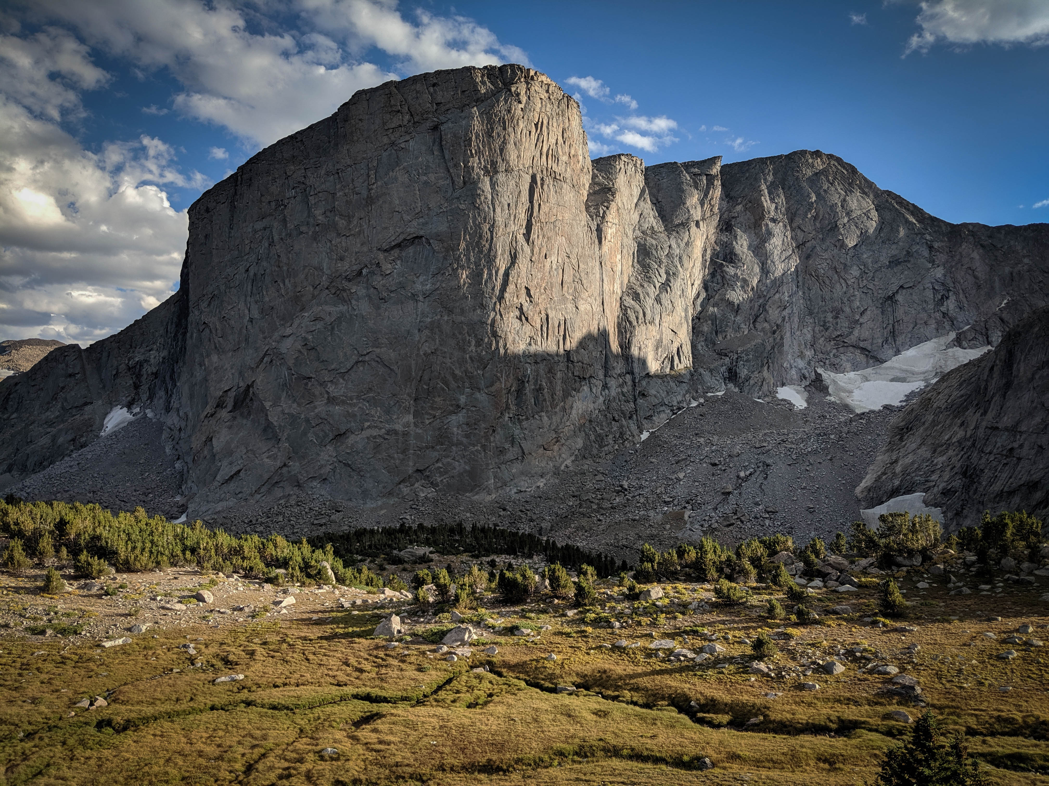
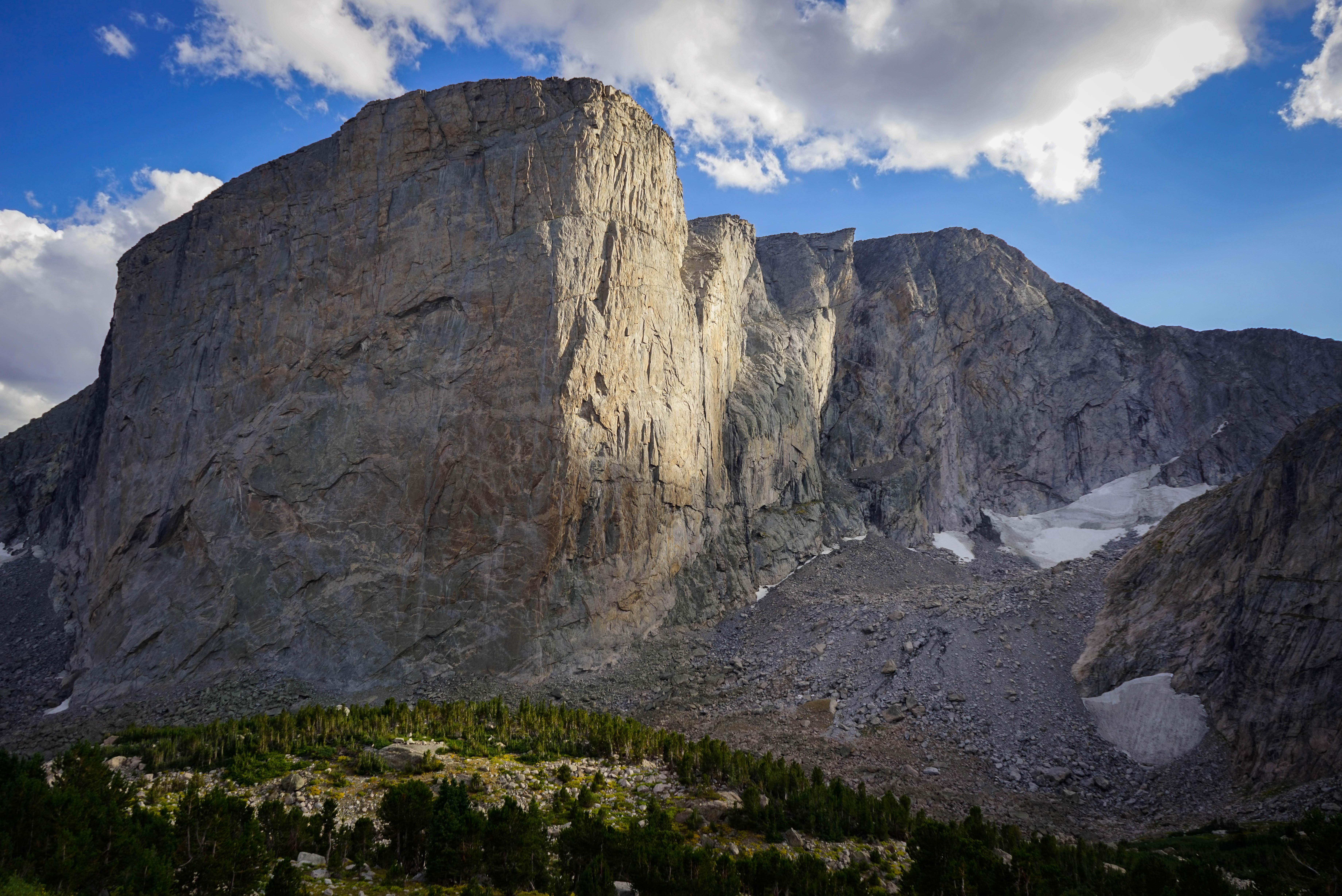
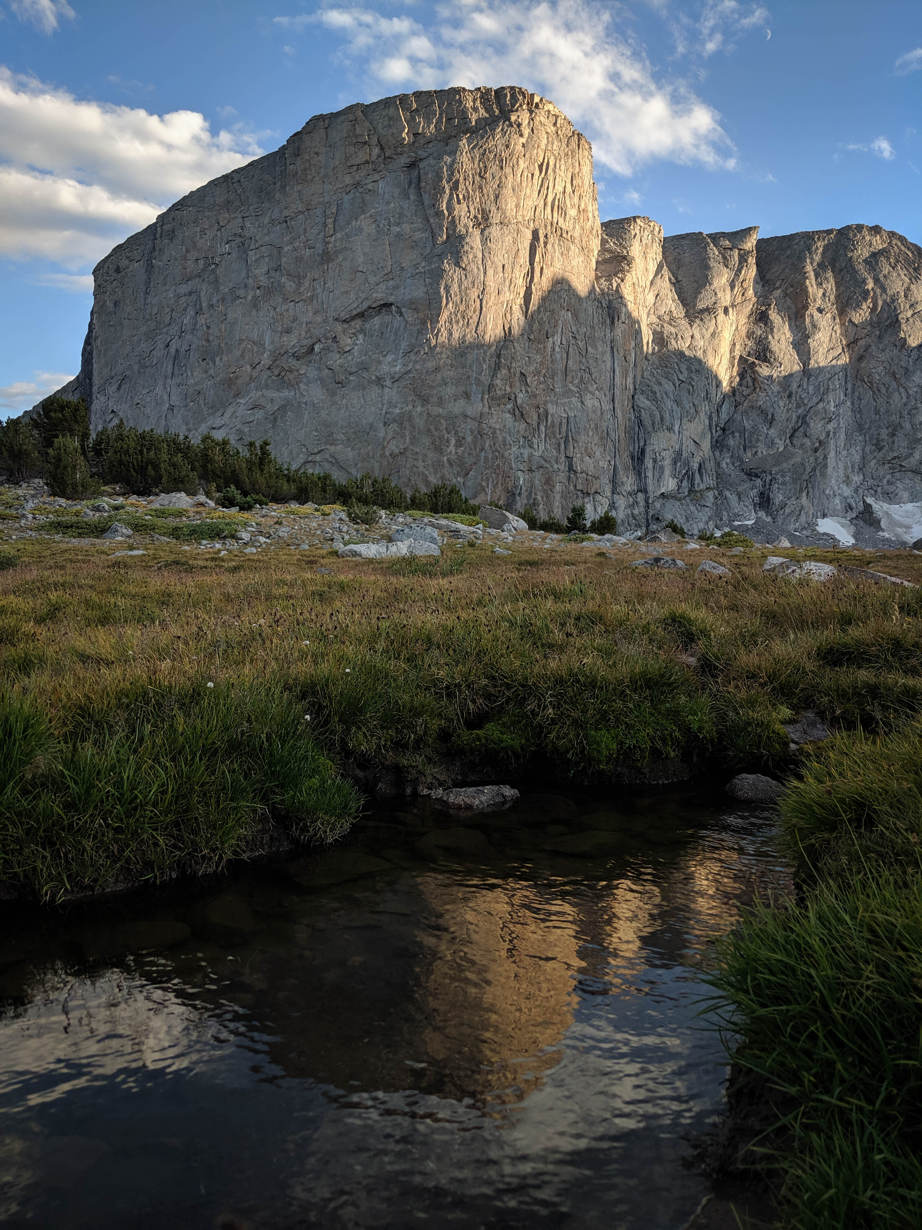
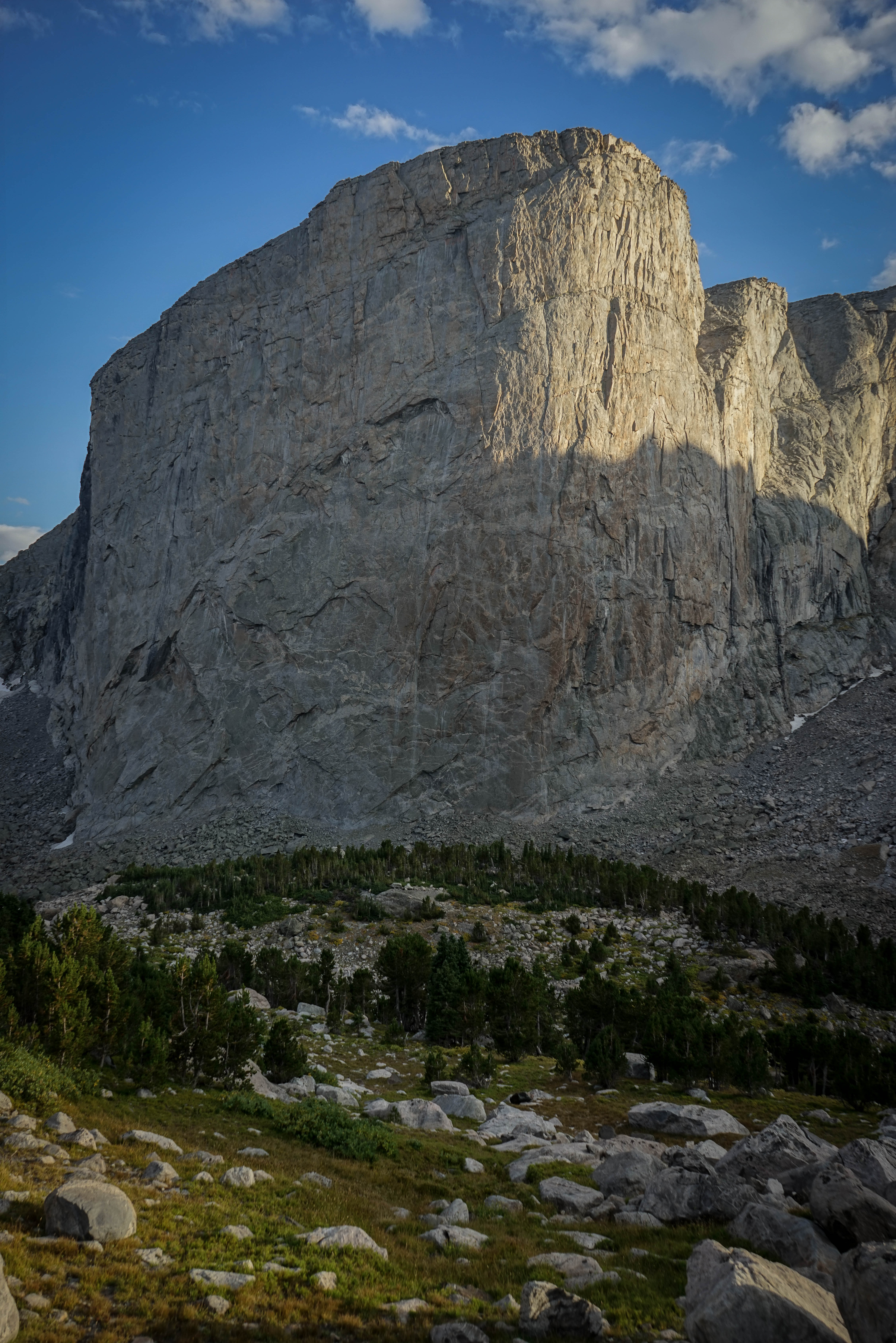
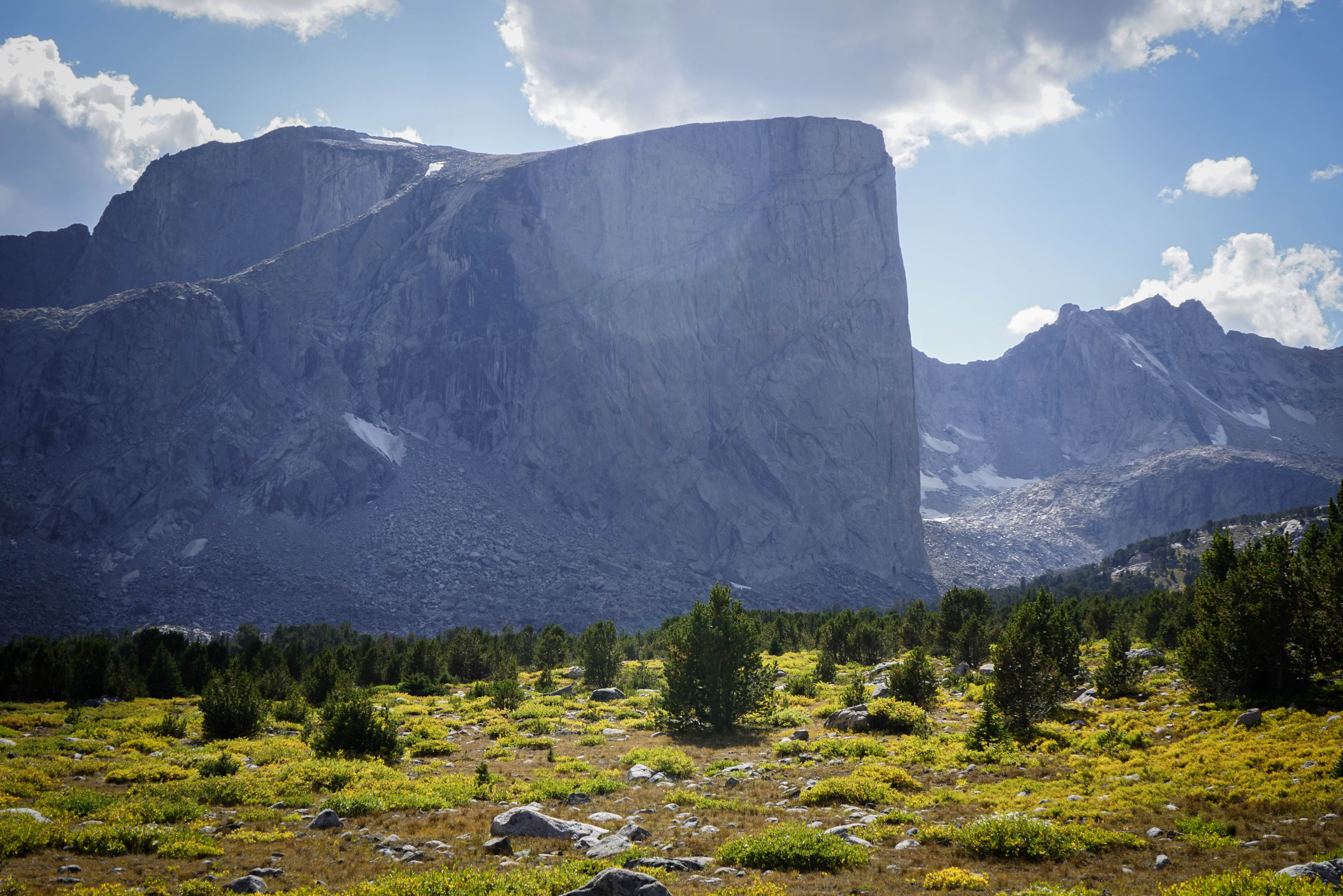
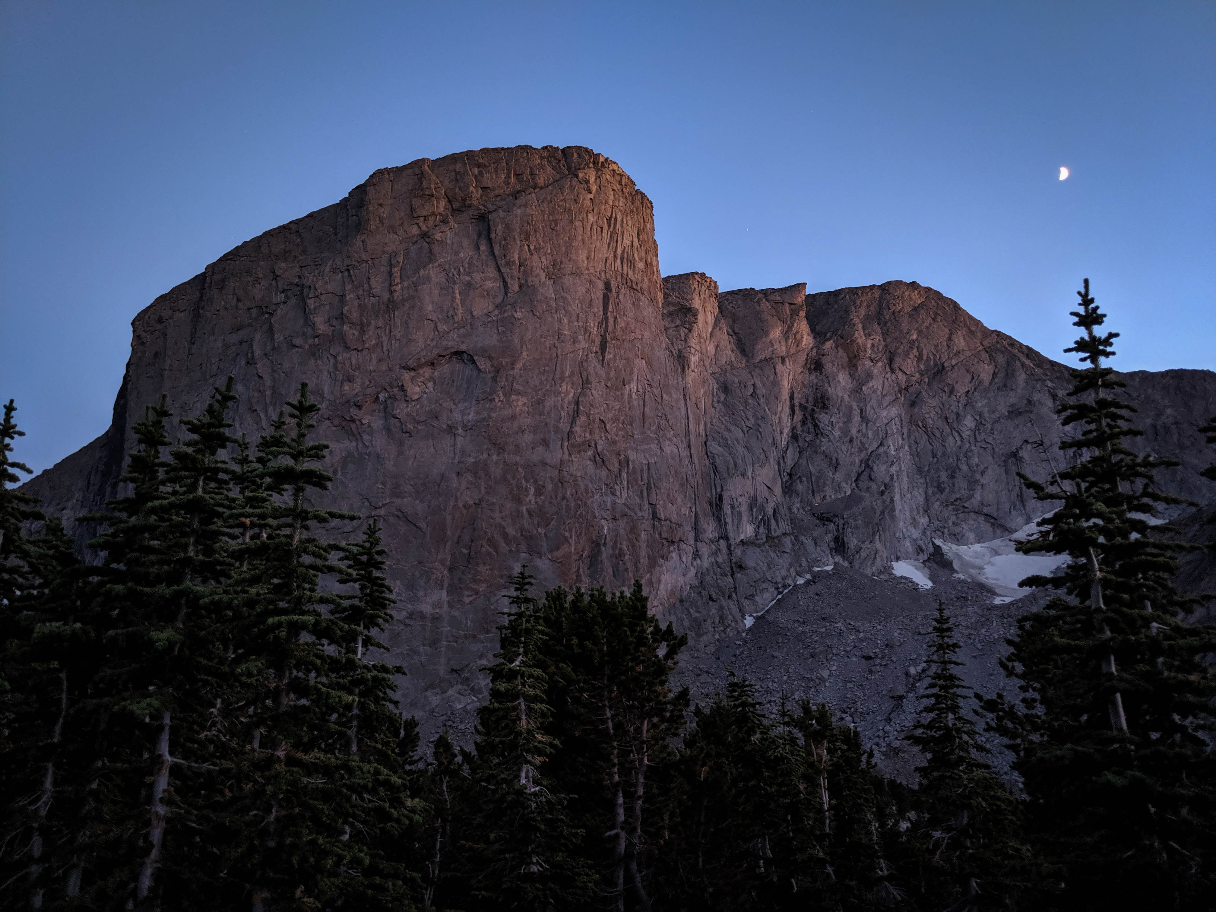
The two-thousand foot northeast face of Mount Hooker is home to some of the biggest and hardest backcountry rock climbs in the continental United States, including the worlds first backcountry grade VI climb. Here’s a fun article about the climb in Climbing magazine.
A clear sunset over Baptiste Lake. Without company at the lake, we had our choice of campsite, and selected the most desireable one with a nice little forested windscreen.
Looking back at our day, it was smart to have taken the low route the day before, as the talus on the high route would have been unbearable when wet. That said, it was nice to get the chance to explore both routes from Baptiste Lake to Roberts Lake. By this point in our trip, we had pretty thoroughly explored the drainage of the South Fork of the Little Wind River, exploring the headwaters of all but one of its tributary creeks. So, it seemed it was time to move on. Our plan for the next day was to hike over Hailey Pass, follow the Pyramid Lake Trail south to the Shadow Lake Trail, and then cross either New York or Texas Pass to Lonesome Lake in the Cirque of the Towers. We expected to see a bit more traffic in this area, especially past the Shadow Lake Trail, as this is one of the more popular areas in the Winds.