Early in the morning, just before sunrise, I woke to the sound of light rain on the tent, which was pretty surprising. In my experience, John Muir is mostly right that “it never rains at night in the High Sierra” unless there’s a weather system moving through or some residual thunderstorms lingering into the evening, which we knew from yesterday’s forecast that there wasn’t. In retrospect, I think this may have been from a Pyrocumulonimbus cloud which grew above the SQF Complex (more on this later...), but I don’t know if the timelines line up exactly. In any case, it left me wondering about the weather a little bit in the morning.
Fortunately, we rose to only partly cloudy skies and beautifully clear air.

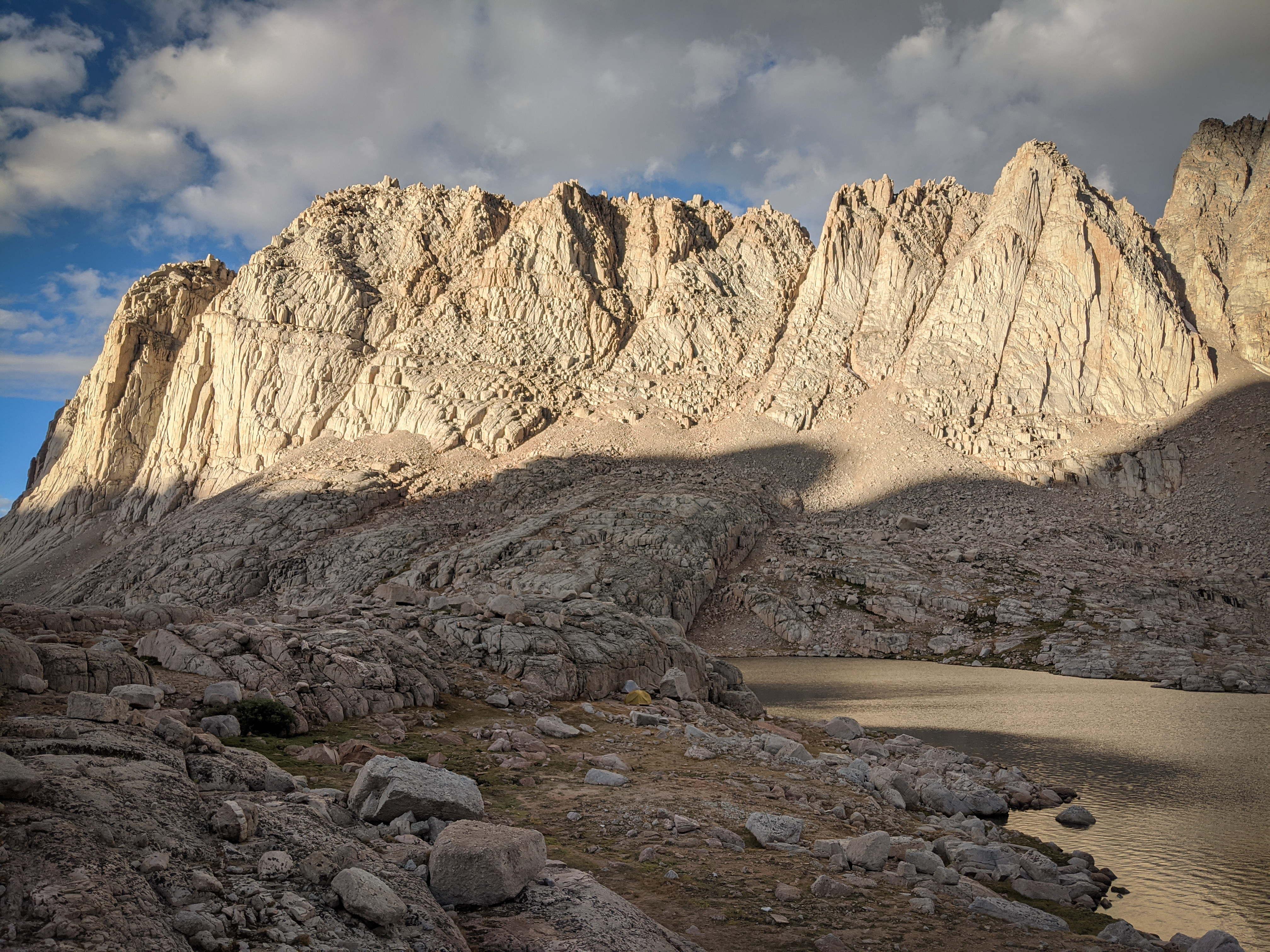
Sunrise over the south rib of Mount McAdie.
Morning light over Rock Creek.
We still had one day of vacation and food, so we decided that given the good weather we would camp another night in the Miter Basin and use the day to climb some of the peaks in the area. I identified Mount Irvine, Mount Mallory, Mount Corcoran, and Mount McAdie as possible objectives, all via Arc Pass. The first two were relatively easy (class 2), the second two a bit more involved (class 3 with difficult-to-follow route descriptions). I figured we could do the first two to get a look at McAdie and Corcoran and see how we felt and how much daylight we had left.
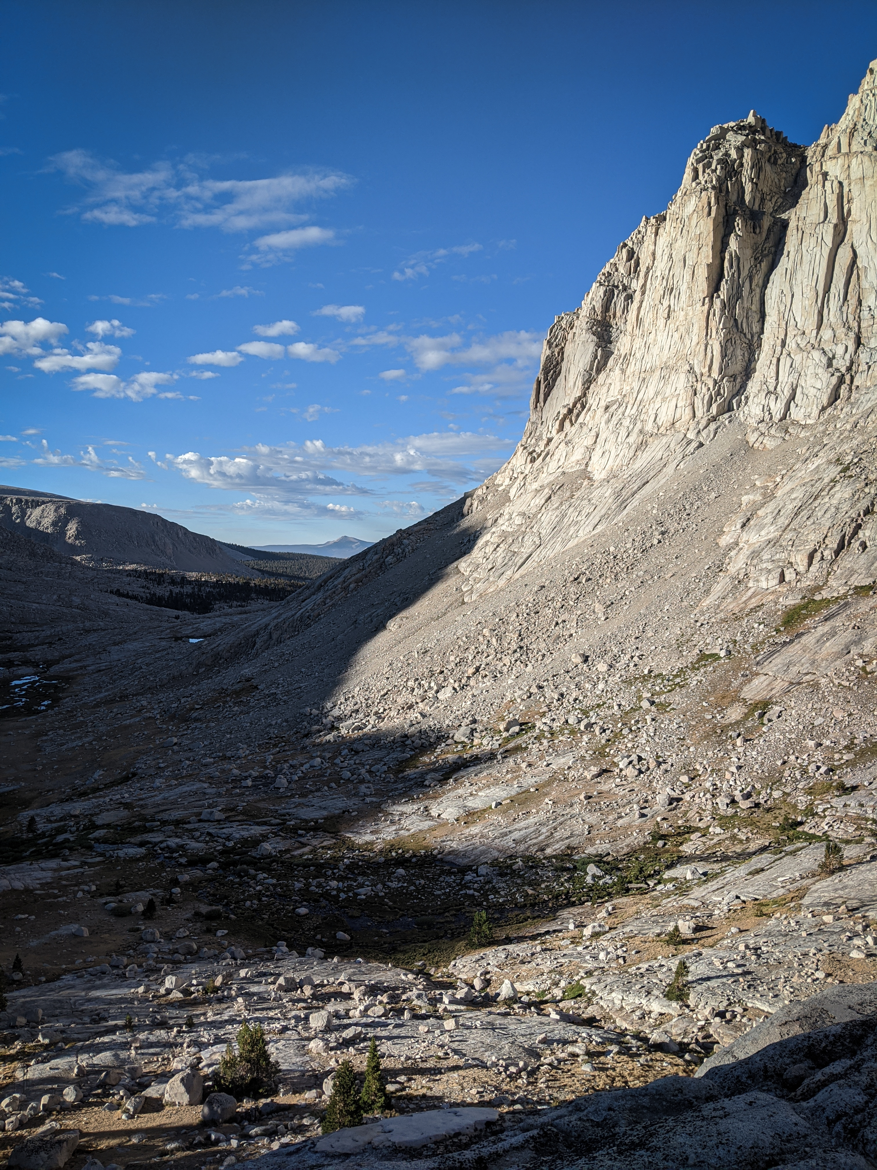
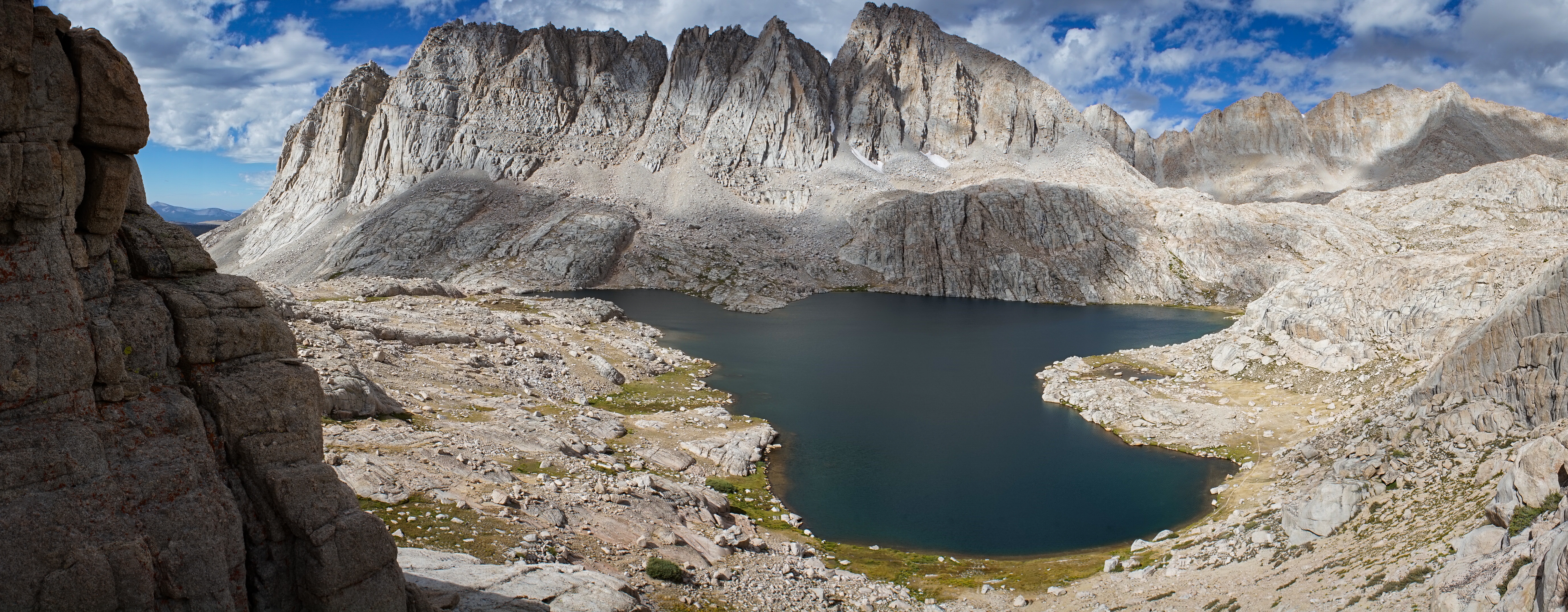
So, off we went, climbing up chutes towards the small lake just north of The Miter.

Awesome morning light on Mount Pickering (center) and Mount Newcomb (right) above Sky Blue Lake.

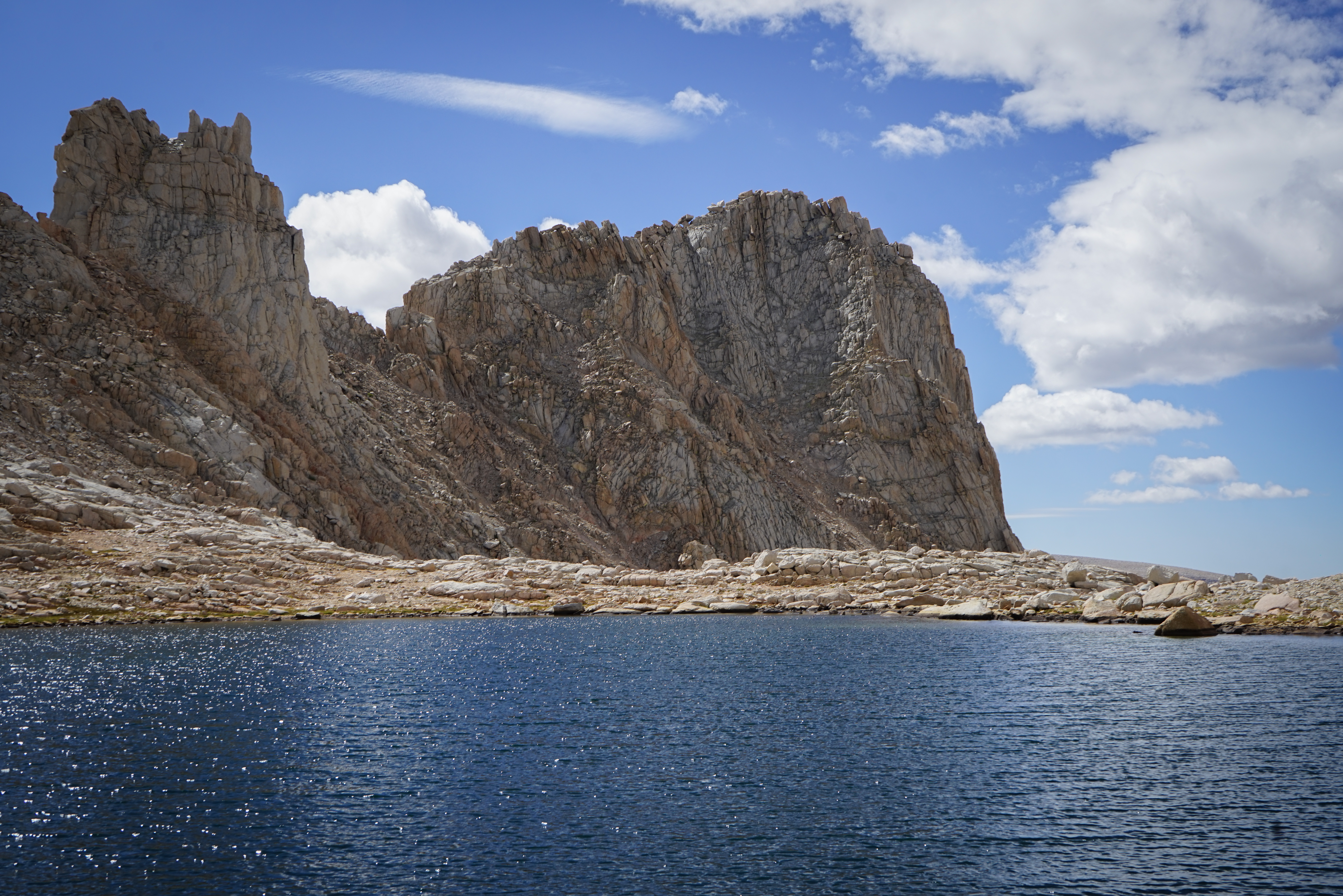
The beautiful blue sky over Mount Mallory was a welcome relief from the haze that had blown over us over the past few days.
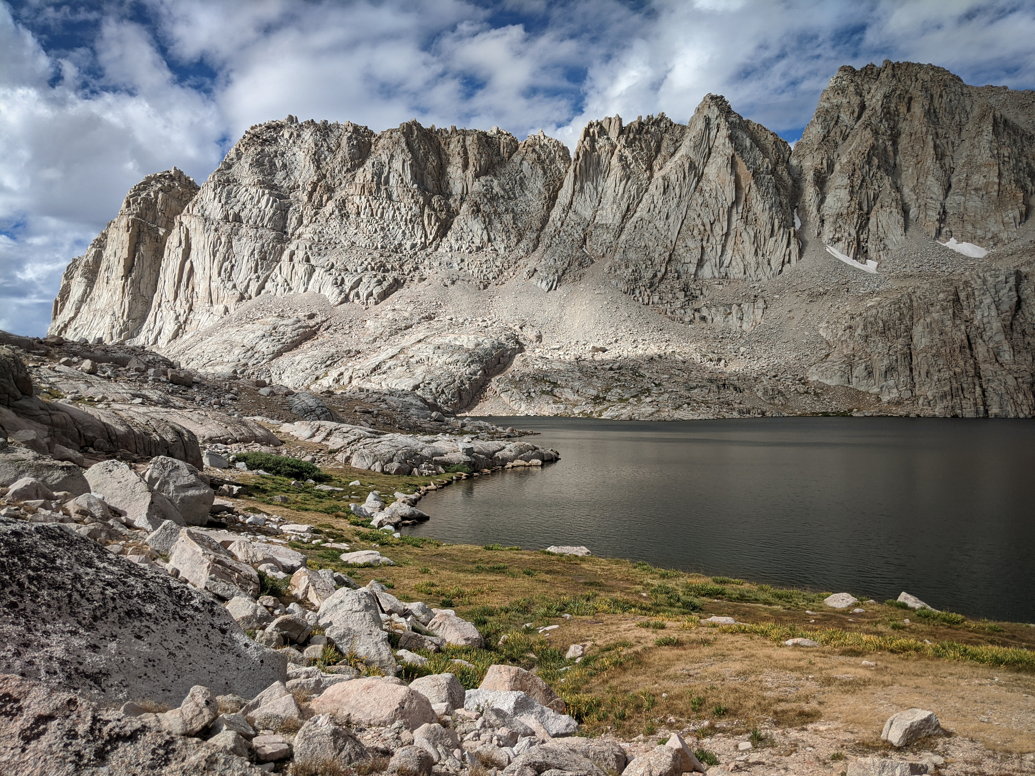
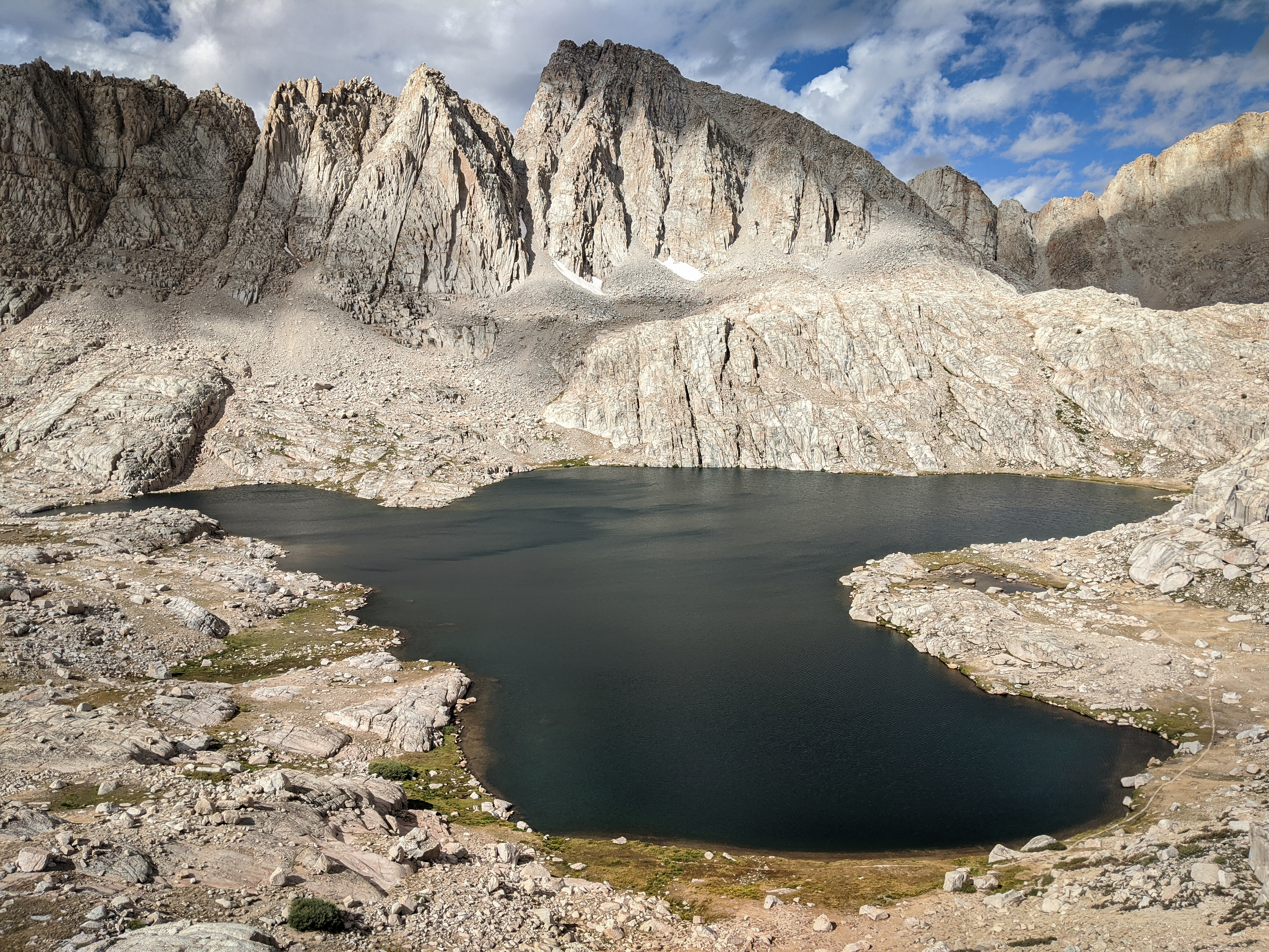
The Miter over the small, unnamed lake just to its north.

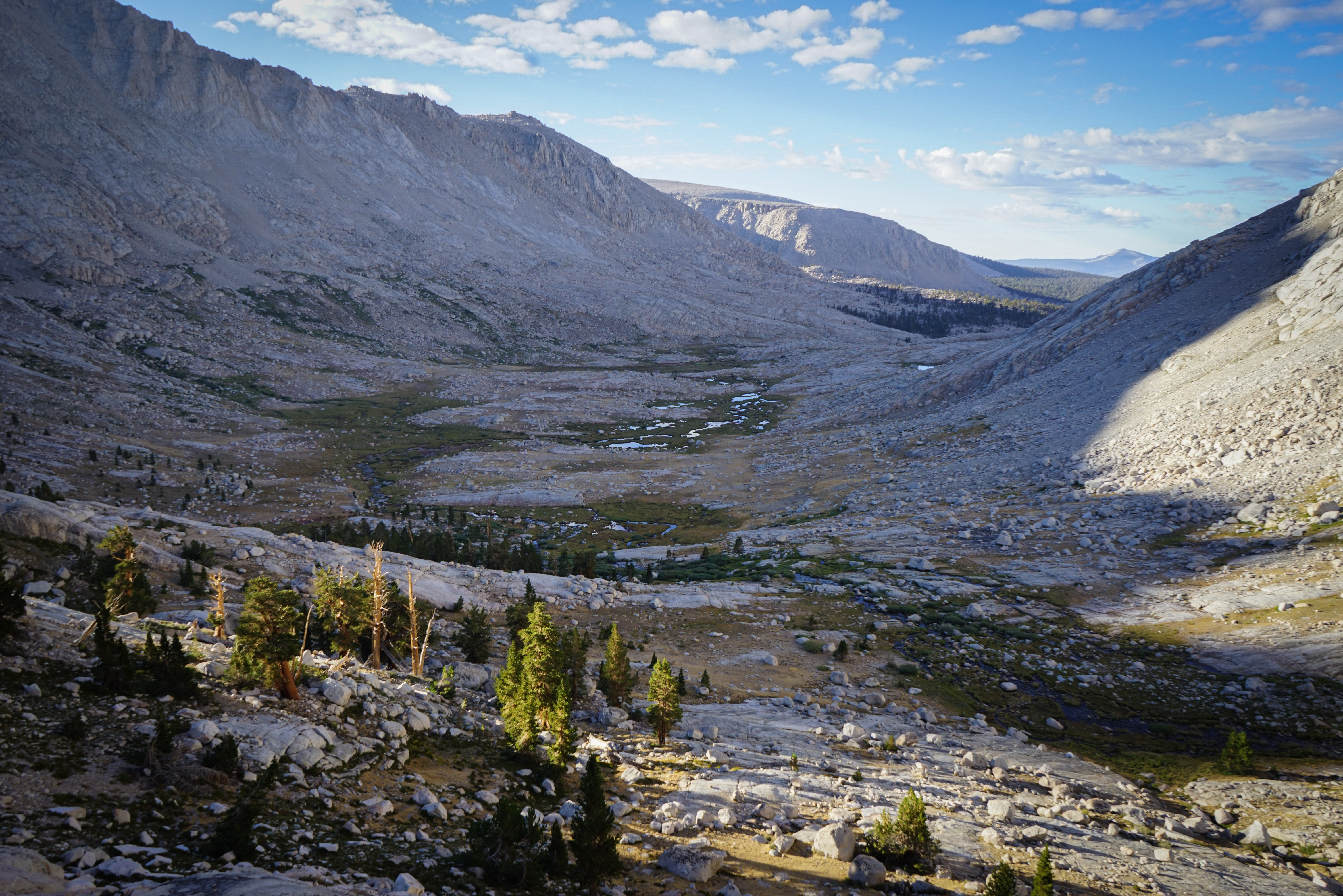
South of Mount Langley, the High Sierra fades into the high meadows and forests of the Golden Trout Wilderness.
The view of Mount Whitney and Mount Russell from Arc Pass. Clouds rolled overhead and the familiar grey tint reminded us that the wildfire still wasn’t far away.

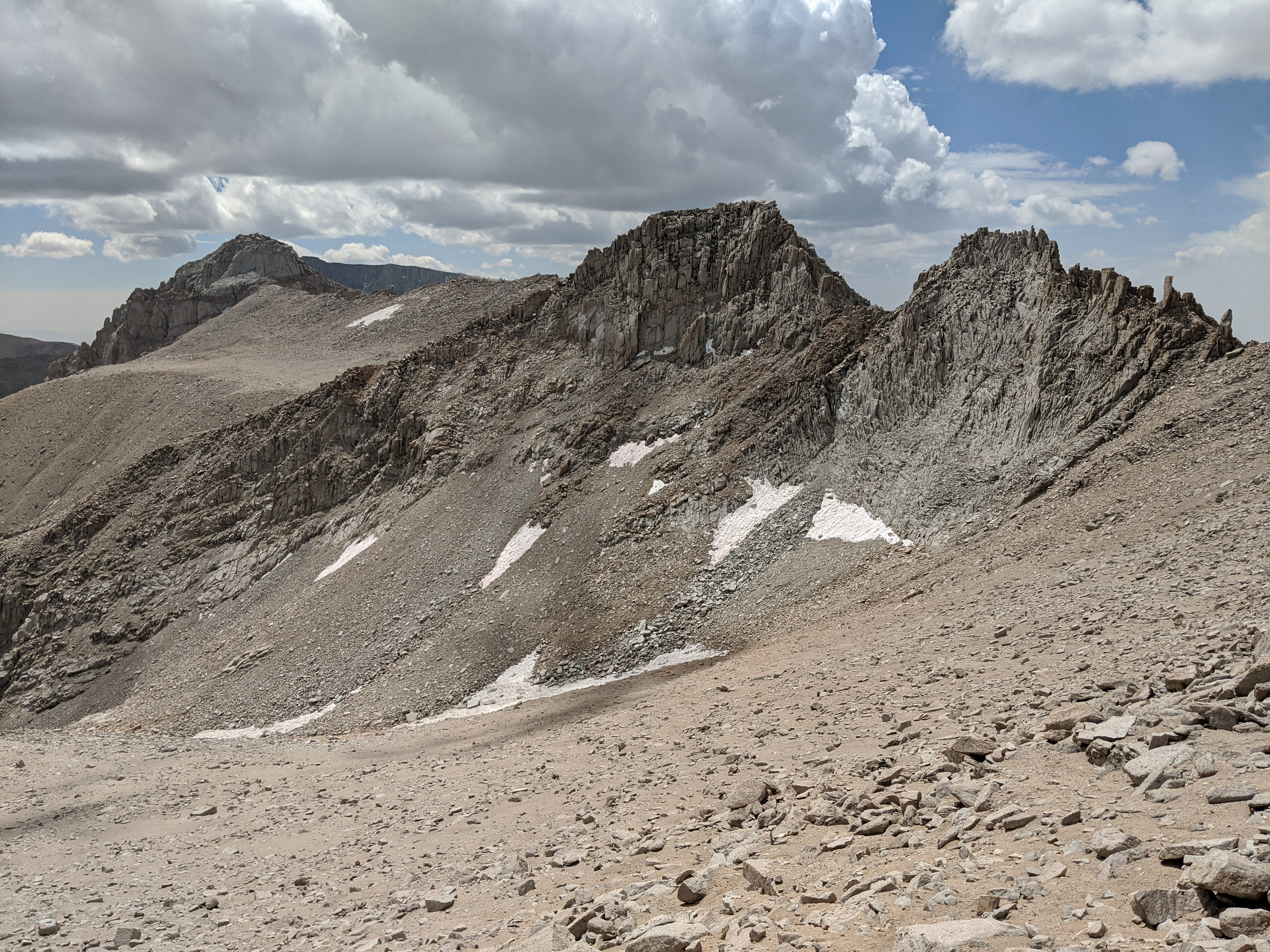
Mount McAdie from Arc Pass. See if you can follow Secor’s description of the From Arc Pass route from here. I got lost about halfway through.

Shannon on the traverse from Richins Pass to the sandy bowl directly south of Mount Irvine. Secor’s rating (class 1) of the From Arc Pass route on Mount Irvine is obviously wrong as the first step in the route description is to cross Richins Pass, which is listed as class 2-3 (I’d say 2). Fortunately this didn’t impact us too significantly.
Mount Mallory and Mount LeConte from the sandy traverse to Mount Irvine.
Mount McAdie, and Arc Pass, from the summit of Mount Irvine.
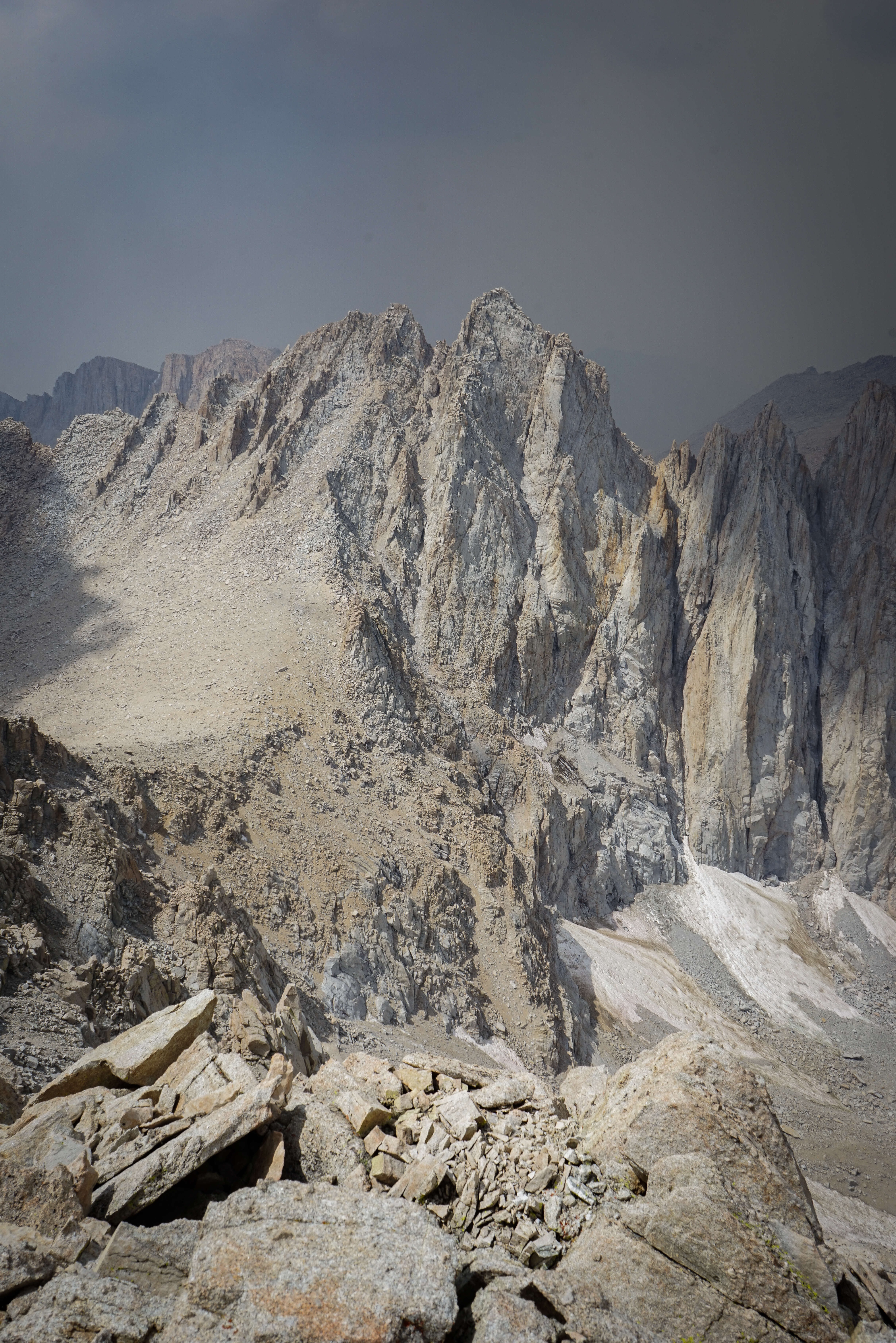
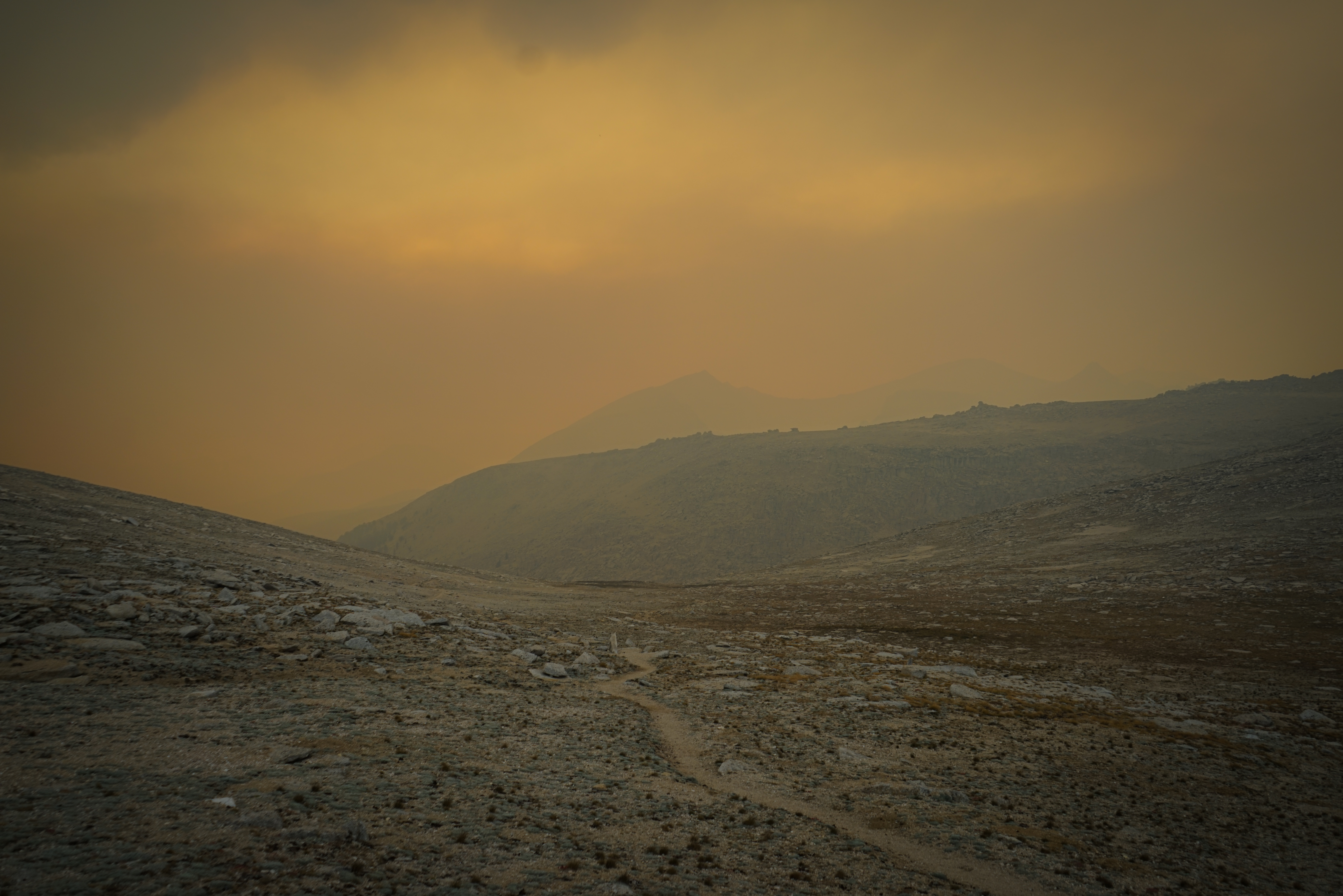
We found the summit of Mount Irvine without much difficulty. However, from our high vantage point it became obvious that we would not be treated to bluebird, or even partly-cloudy skies all day as the smoke, thicker than we had seen yet, moved in from the southwest.
It wasn’t long before we could barely make out Mount Russell, less than 3 miles away. It was pretty obvious to us that we were being smoked out and it was time to get out of the mountains. So we headed directly down from Mount Irvine to Sky Blue Lake.

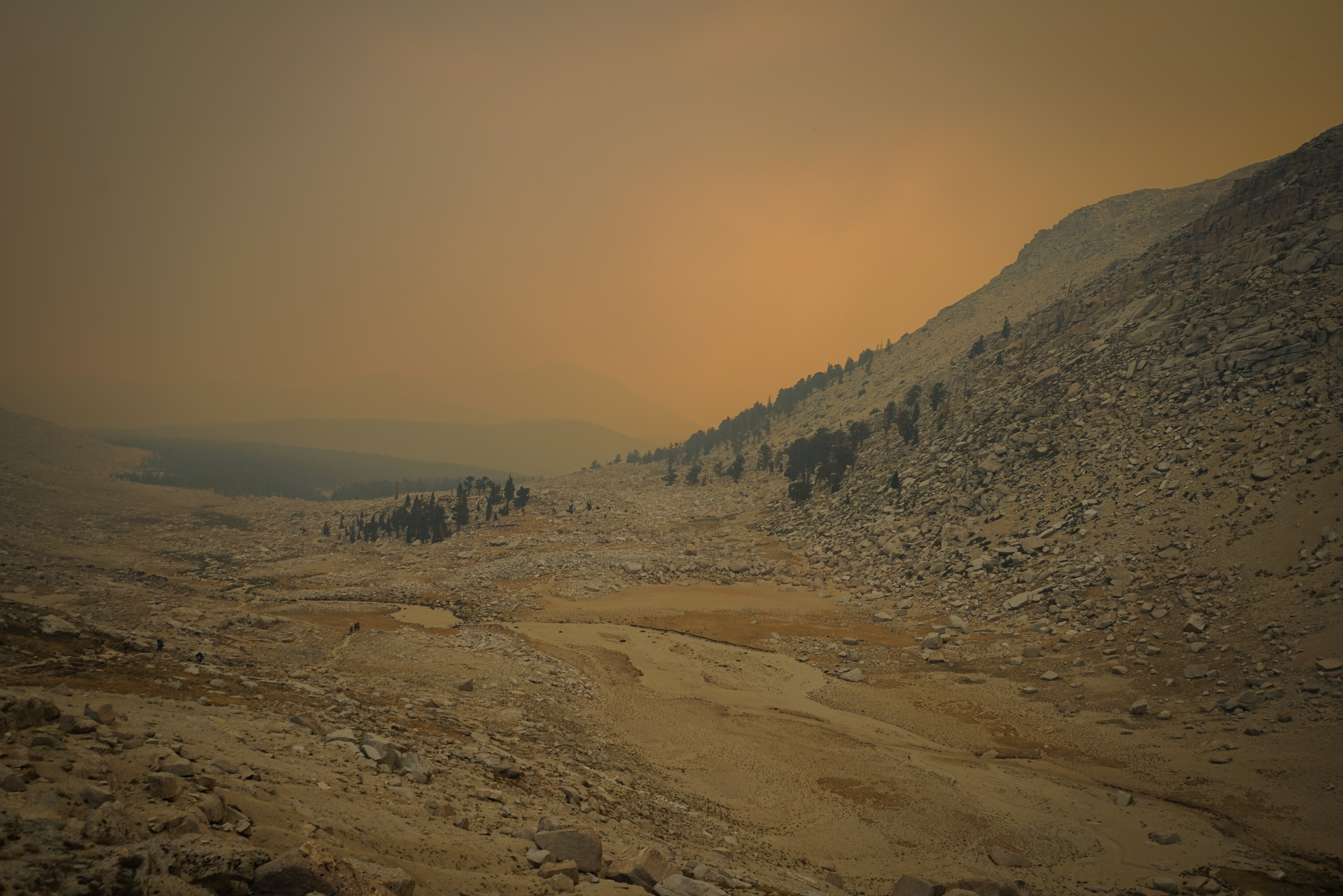
On the way down, the smoke got significantly worse and the orange glow from yesterday returned to the west.

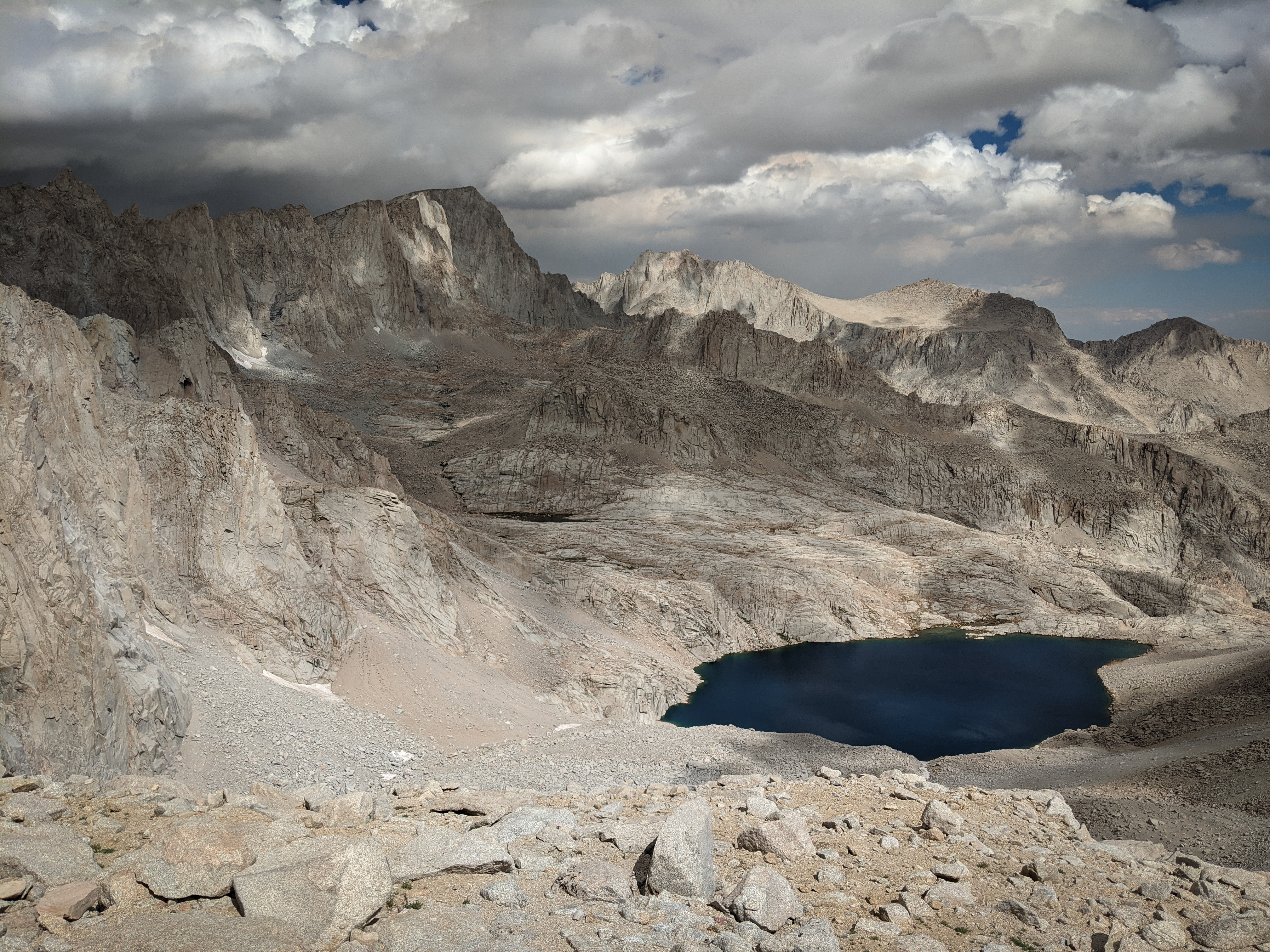
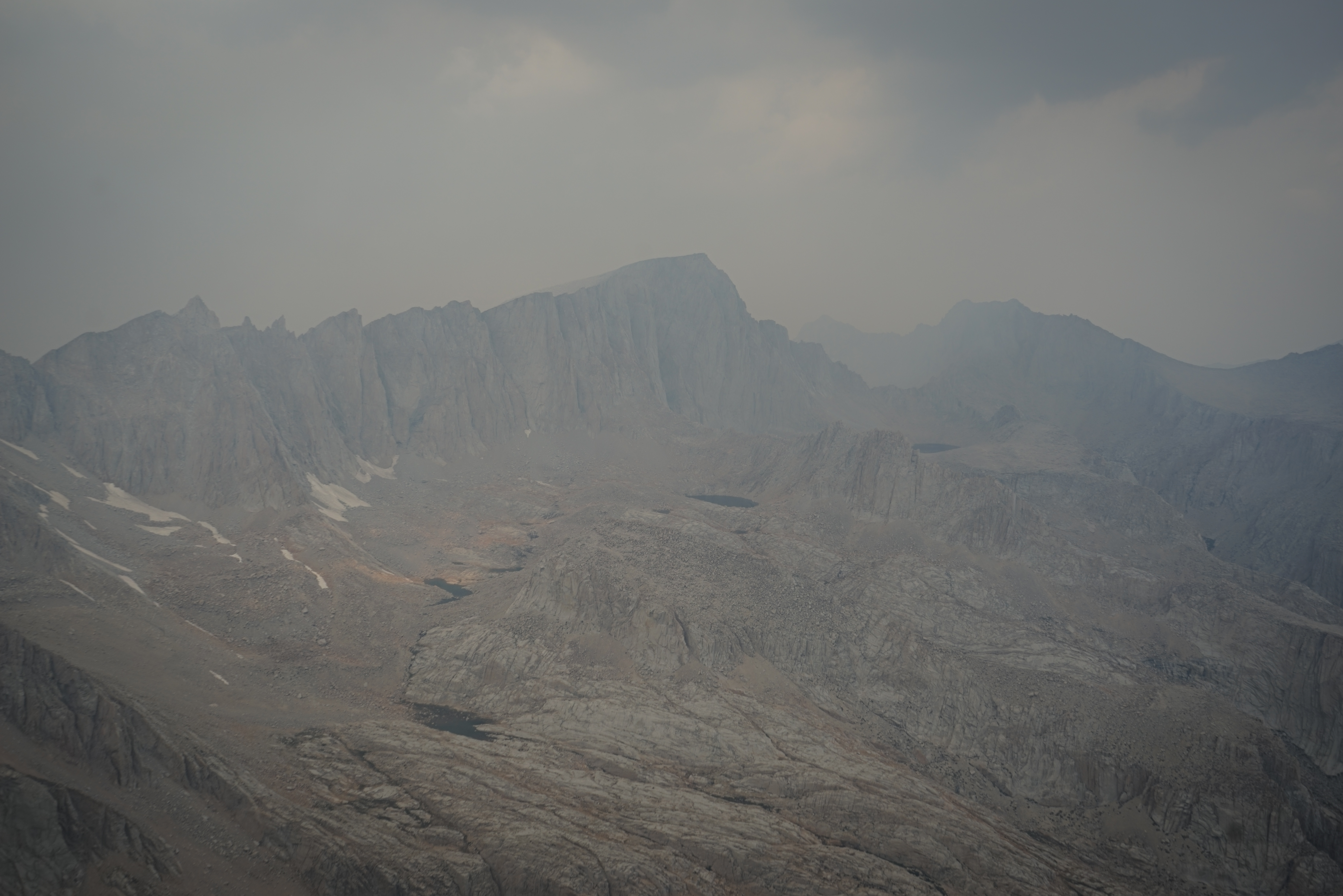
Back at Sky Blue Lake, conditions were worse. The formation at center is only 1 mile away from where this picture was taken.
We packed quickly, ate a snack, and headed south.

It wasn’t long before we picked up the use trail along Rock Creek which was quite easy to follow. At this point, we just had to follow the trail up and over New Army Pass. We were a bit uneasy to leave the alpine and enter a section of forest which we knew was connected to the wildfire, but it still seemed far enough away that we could get over New Army Pass safely.
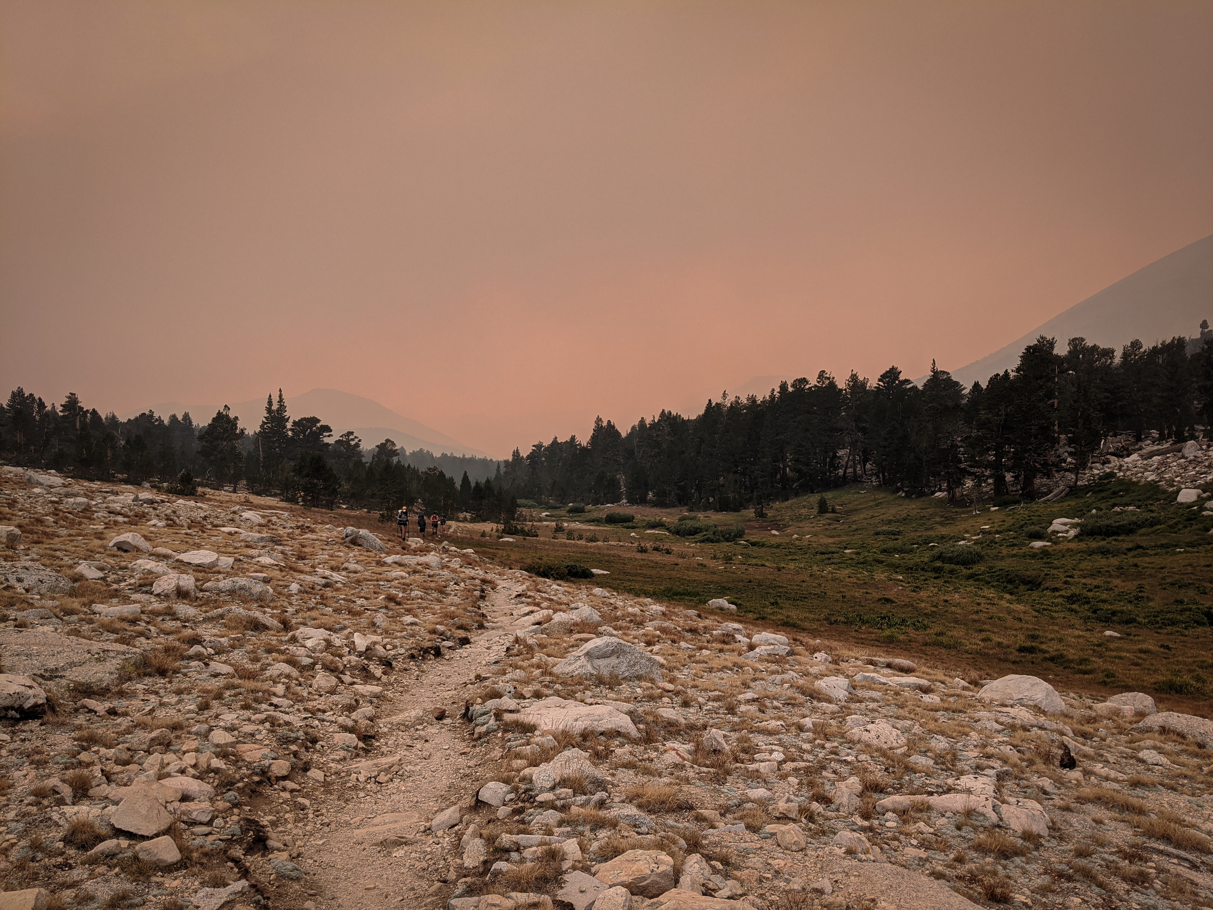
In the meadows below New Army Pass, we ran into a group setting up camp on their northbound hike of the John Muir Trail, half of them wearing N95 masks. We chatted briefly. They asked us if they would be safe camping there. We said we didn’t know, but we weren’t going to take our chances. Not long after, we saw them behind us heading east over New Army Pass. At the time, I wondered if it was right to encourage them to exit the wilderness. But looking back at the conditions they would have seen -- they intended to finish in two weeks, around September 10 -- I think we were right.
Heading over New Army Pass. These pictures were taken a good two or three hours before sunset.
As we descended New Army Pass, slightly more at ease, I looked over at Shannon and saw every loose hair on her head standing on end. I told her to put everything down and run down the trail as fast as she could. At the time, this seemed a better idea than kneeling in the field of small boulders we were in. She sped down the trail and I picked up her things and followed. Fortunately, Shannon reached the safety of a rock alcove not far down the trail and took shelter. Her hair returned to her shoulders, indicating we were out of danger. Not long after, thunder echoed off the cirque walls around us. It sounded like the lightning strike was high above us. We waited a while for the adrenaline to wear off and to see if there were any more lightning strikes.
I’m fairly confident that the sole lightning strike we heard, which occurred in the early evening, was a pyrocumulonimbus thunderstorm fueled by rising air from the wildfire just a few miles to our southwest, an indication of extreme wildfire behaviour.
Eventually we worked up the courage to leave our hiding place, encouraged by seeing the group we had met earlier, who seemed relatively unfazed.
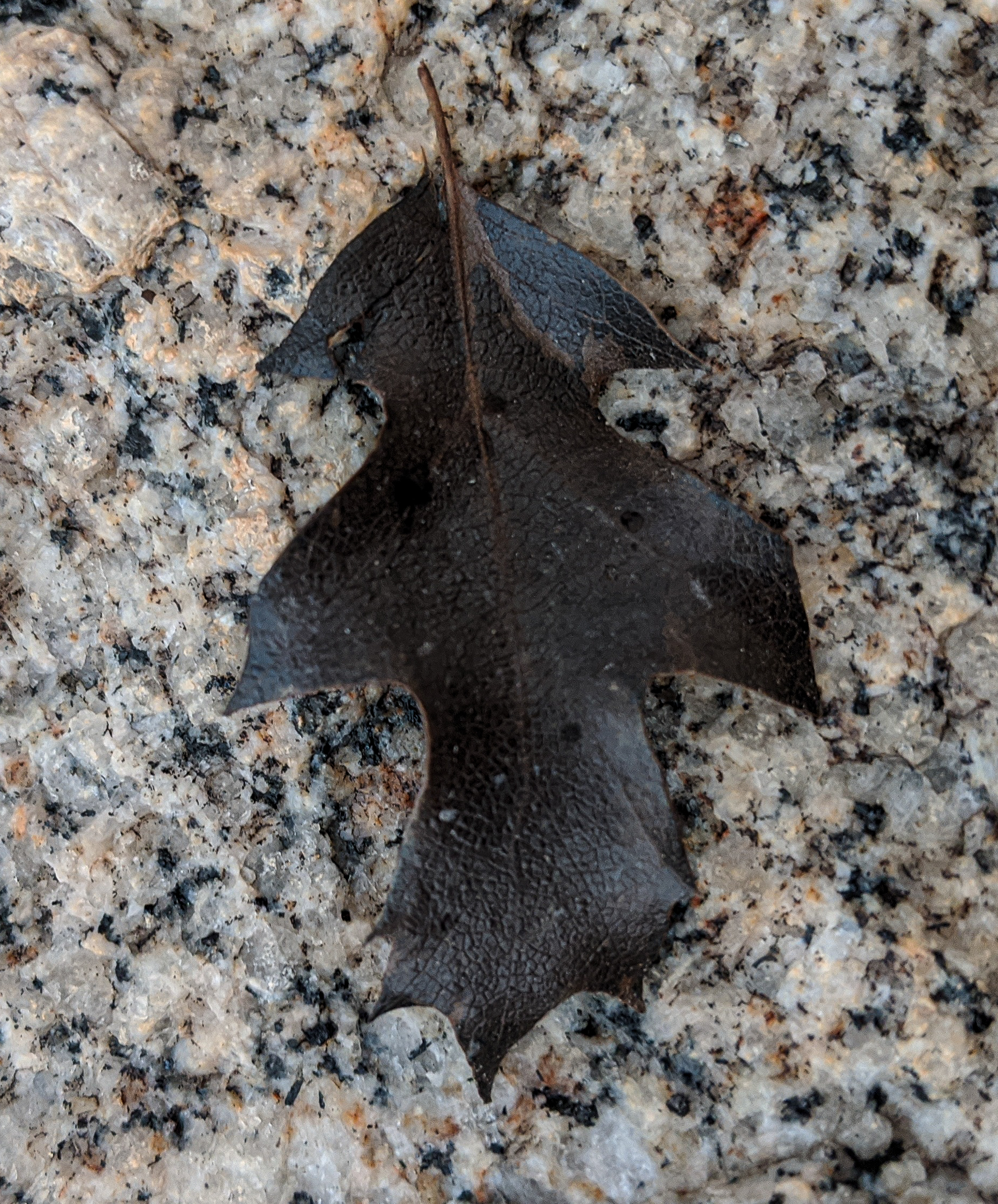
A singed oak leaf that fell from the sky. The nearest oak trees to our west that I could think of are in the Kern River Canyon, ten miles away.
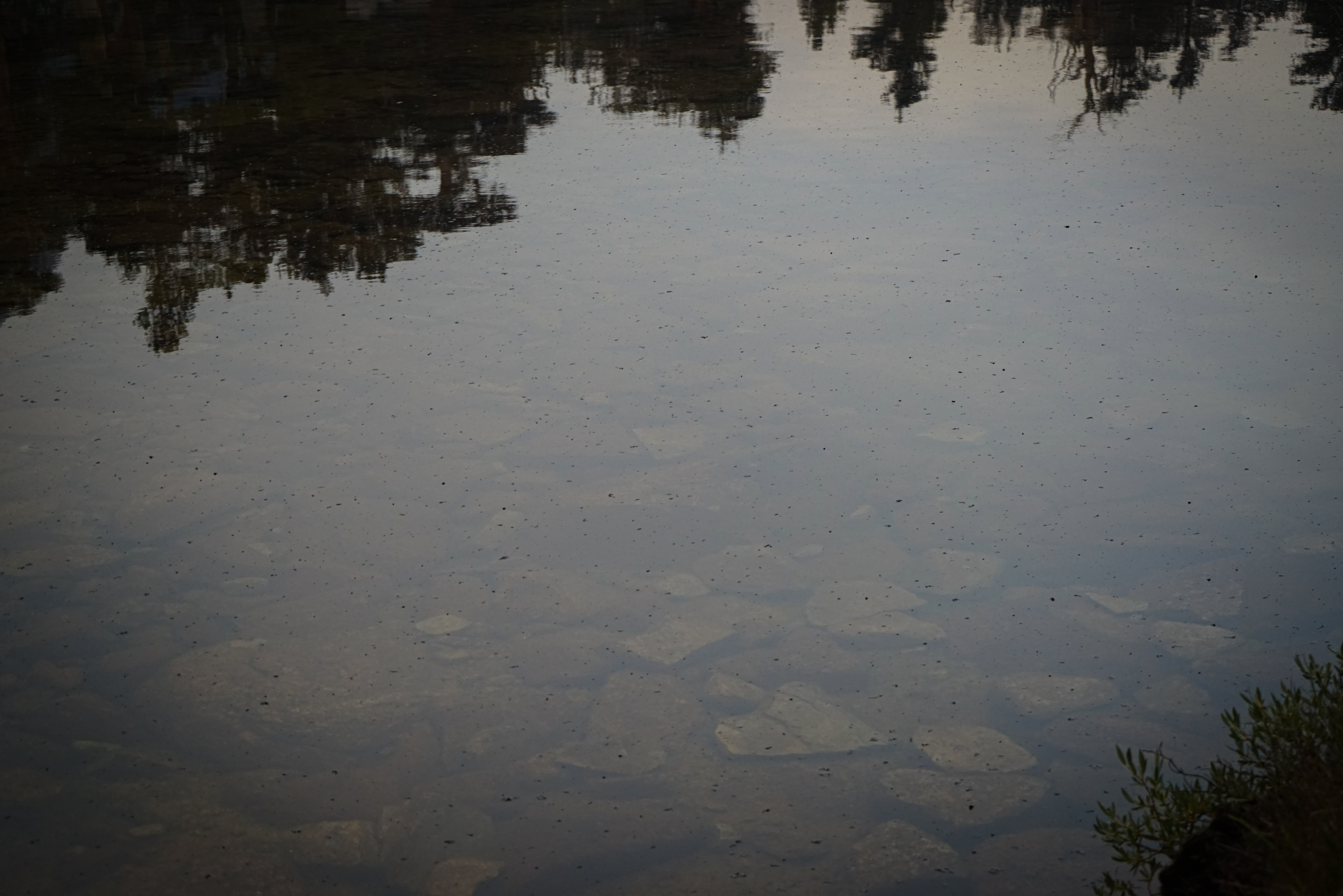
The Cottonwood Lakes were calm enough for ash to collect on the lake surfaces. I must of course point out that this was a beautiful area of alpine lakes and Foxtail Pines that I would love to return to, if only it wasn’t so far from the Bay Area.
As we passed the lowest Cottonwood Lake (Lake 11031), it got dark. We didn’t even entertain the idea of stopping to camp for a night, opting instead to finish our hike by headlamp. So, we marched through darkness for a couple of hours back to the trailhead, which we reached some time around 10. A dream and a season’s goal accomplished, we packed up and headed for a warm shower and bed.