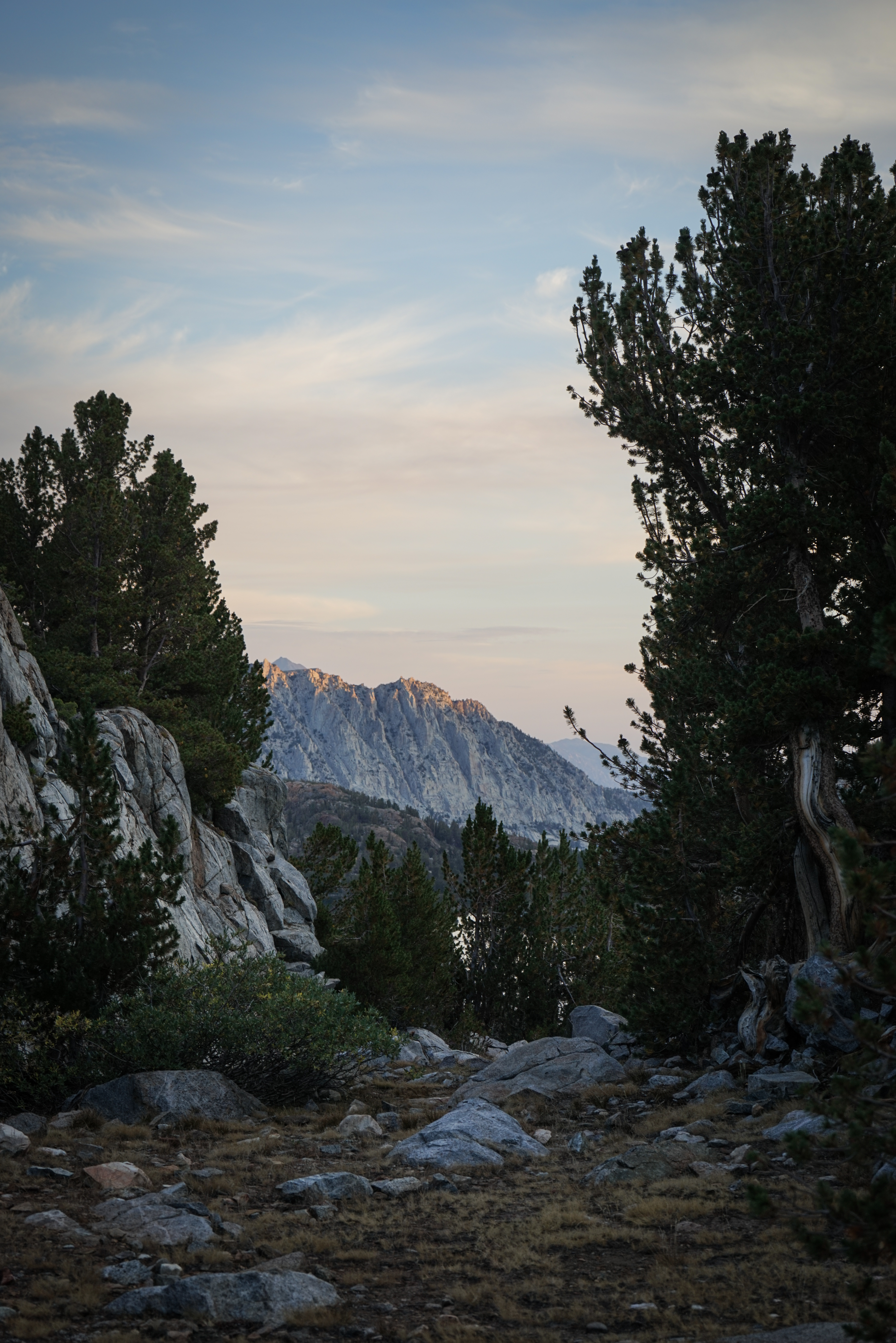
Lingering high elevation clouds made for a nice sunrise over camp, and indicated a good likelihood of an afternoon storm today. We were able to get out of camp early, and my stomach was feeling a bit better than the day before.
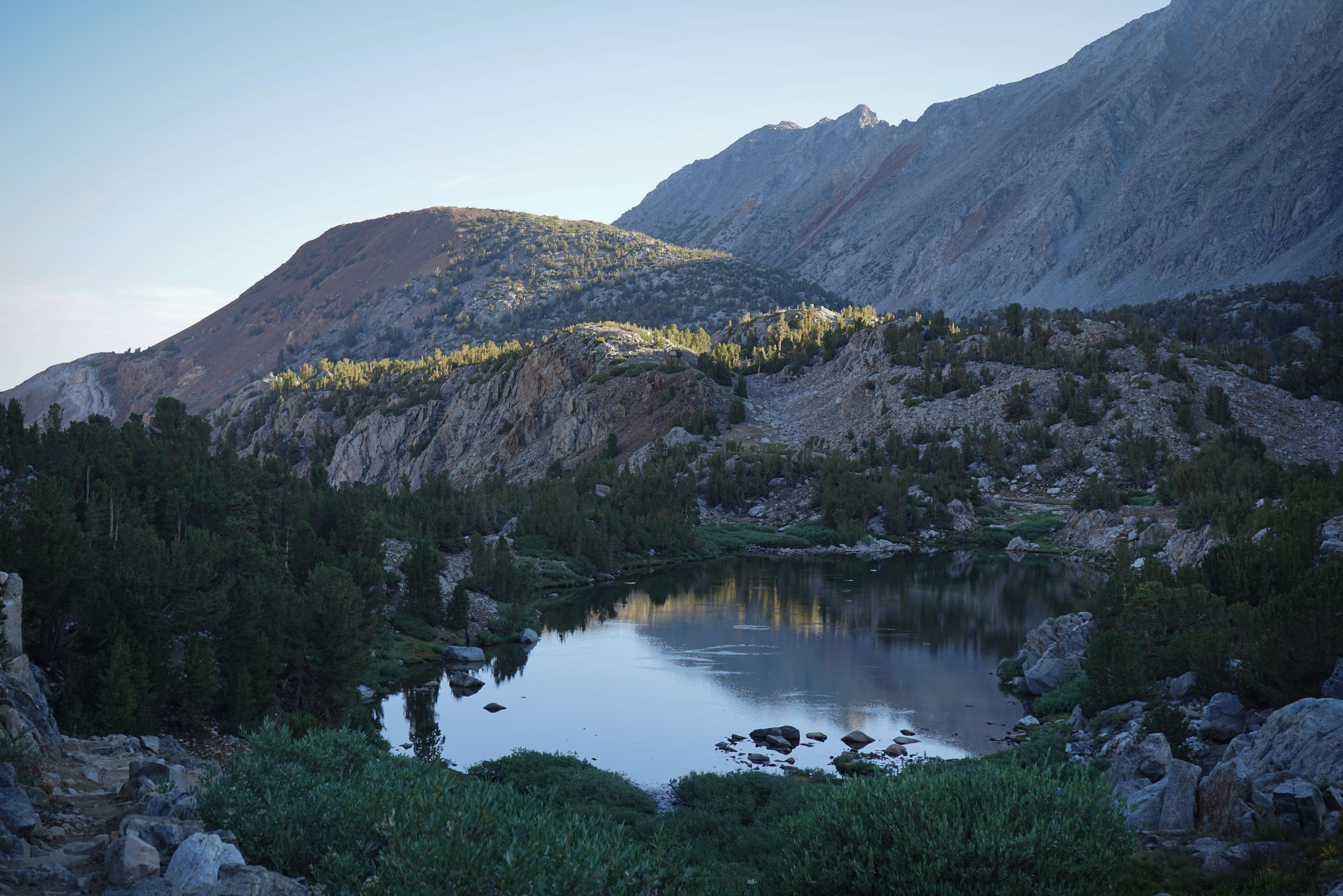
Fish rising in one of the Timberline Lakes.


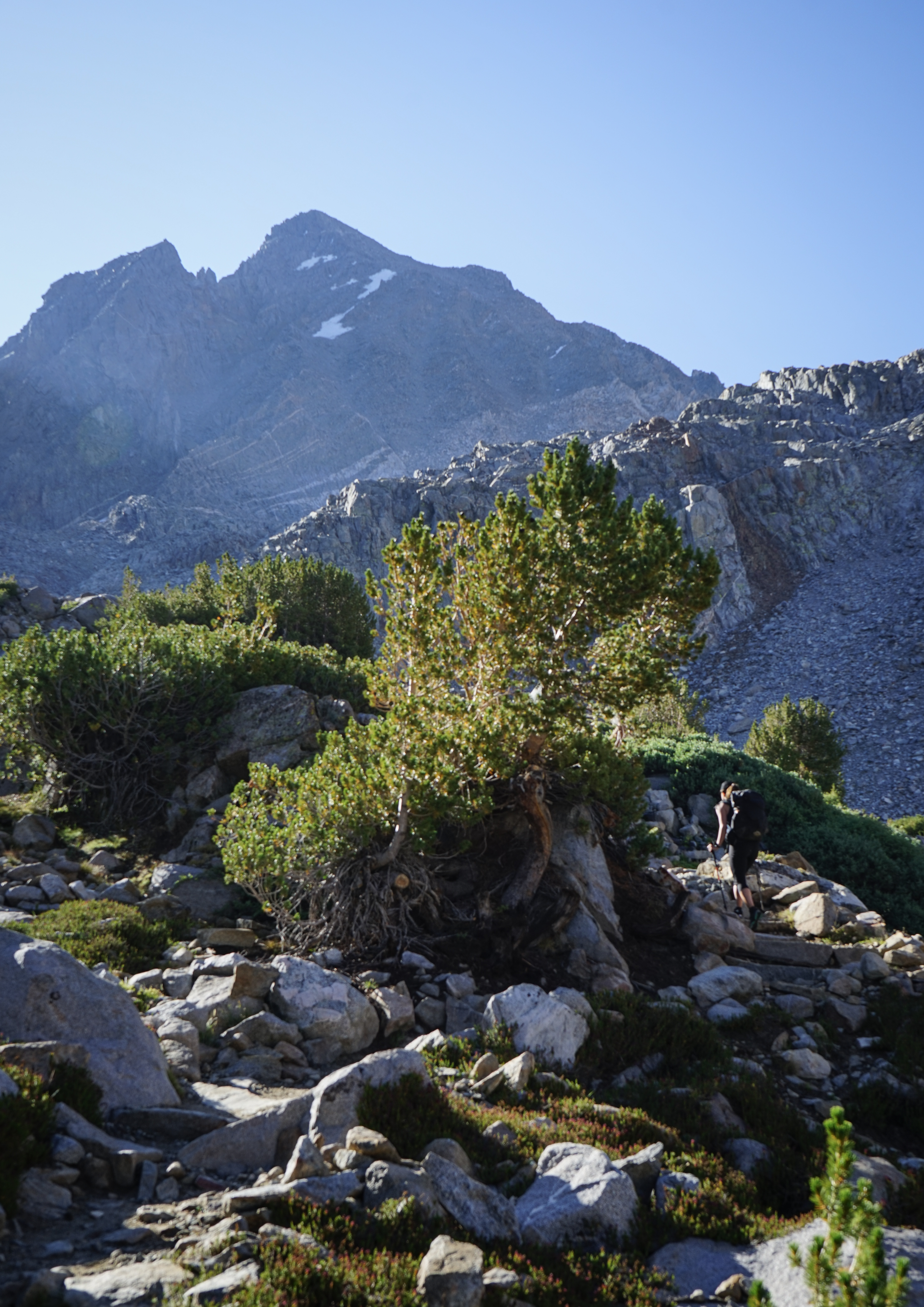
A few lovely shots of the morning light on Mount Agassiz.

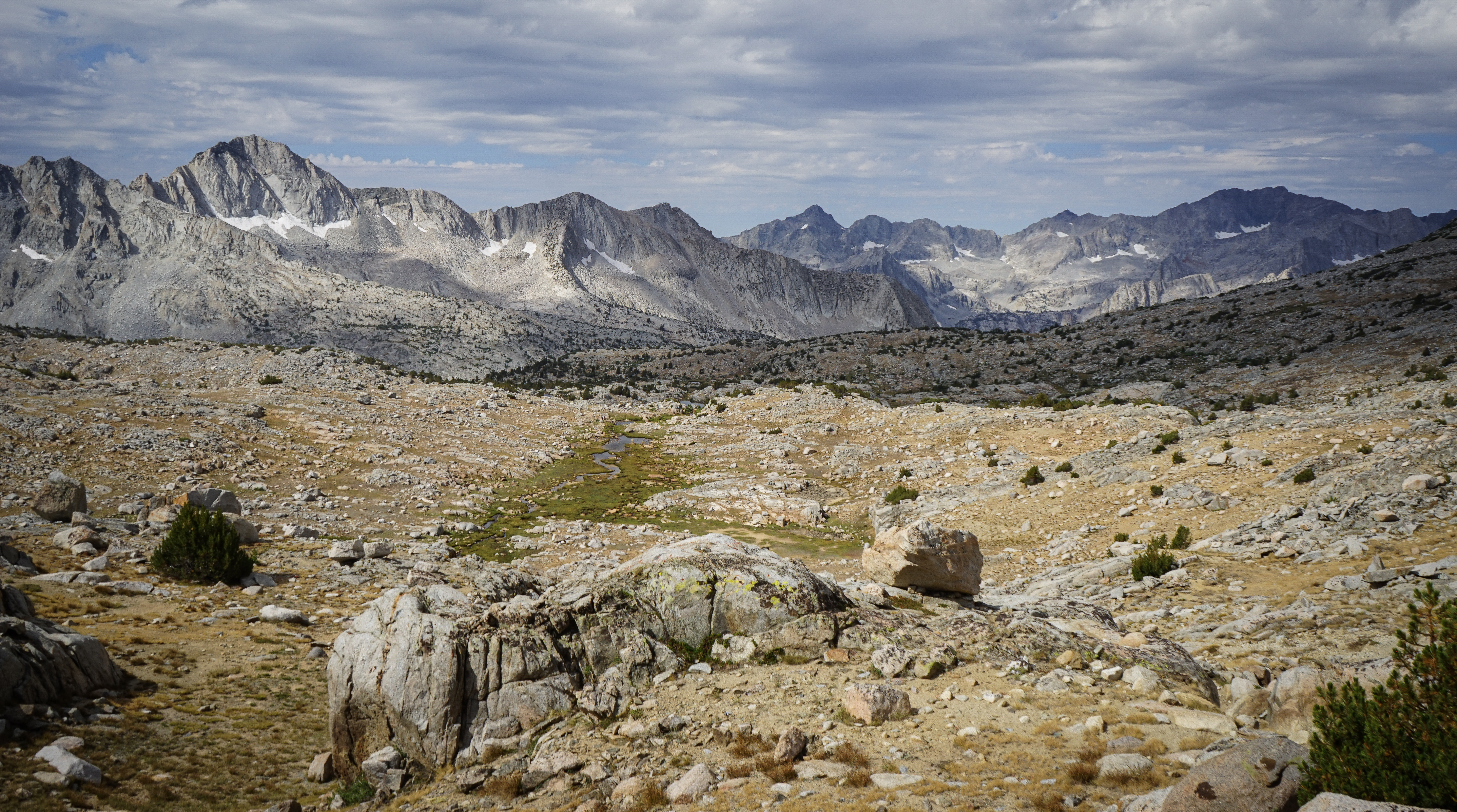
Bishop and Saddlerock Lakes, and even Mount Humphreys, from Bishop Pass. The hike to the pass went by without incident. We saw groups heading up and down. The afternoon thunderstorms the previous day gave some people a bit of excitement.

Columbine Peak, Giraud Peak, and the Black Divide rise above the remarkable Dusy Basin. From here, the route descends the Dusy Basin Trail for 1,000 feet before setting off cross country for Knapsack Pass to the South.

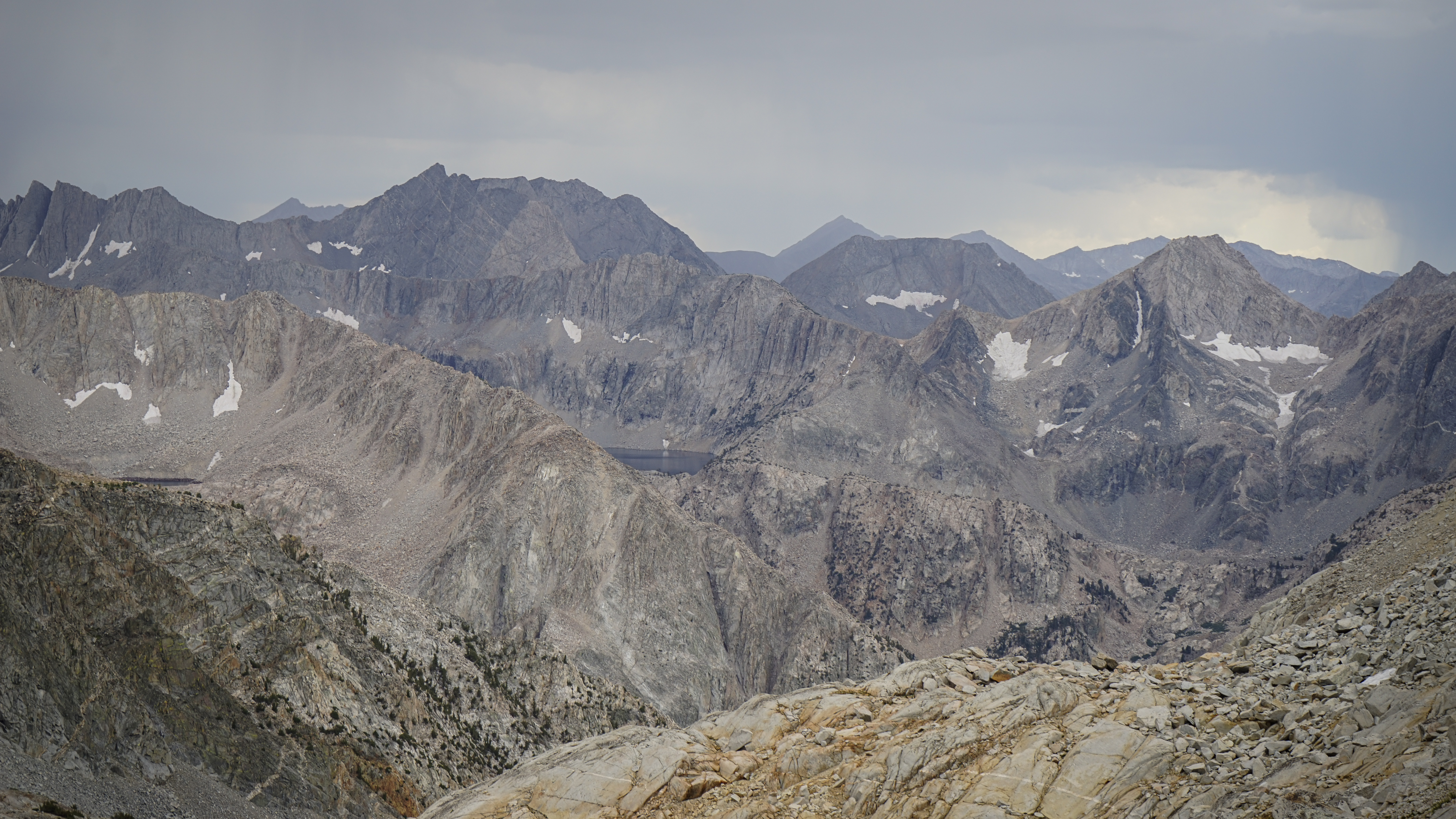
To the east of the Dusy Basin trail rises the fourth highest mountain in California: North Palisade, and several of its 14,000’ neighbors.
On our way down the Dusy Basin Trail, we ran into a lone hiker, Cameron, who was getting off the Sierra High Route to pick up a resupply. We chatted for a bit, quite impressed with his adventure.
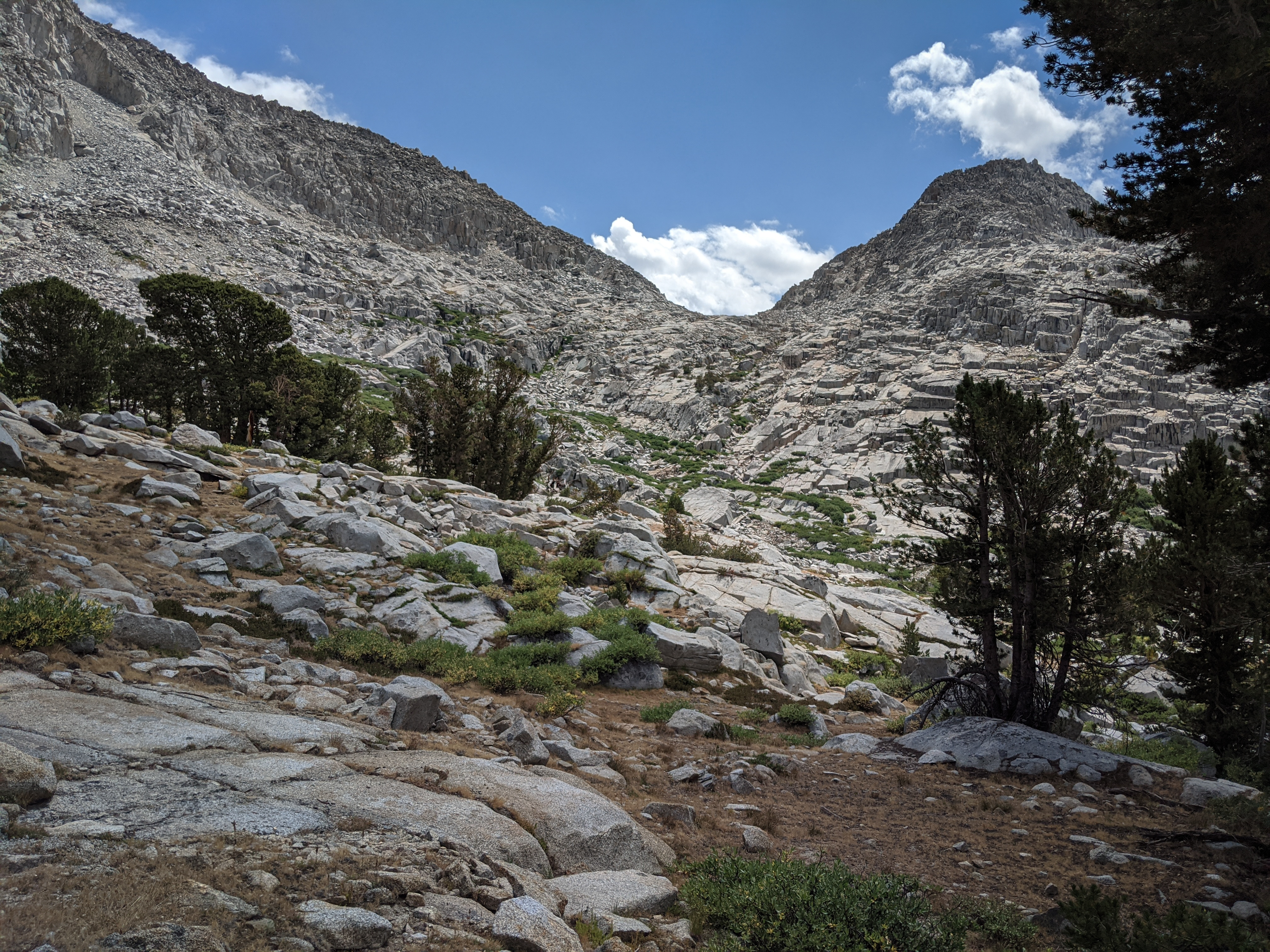
We found our way down the trail and set off for Knapsack Pass without incident.

Making our way up Knapsack Pass under growing clouds.

The view down Barrett Creek (?) and across Palisade Creek of Observation Peak and the impressive collection of unnamed peaks around it.

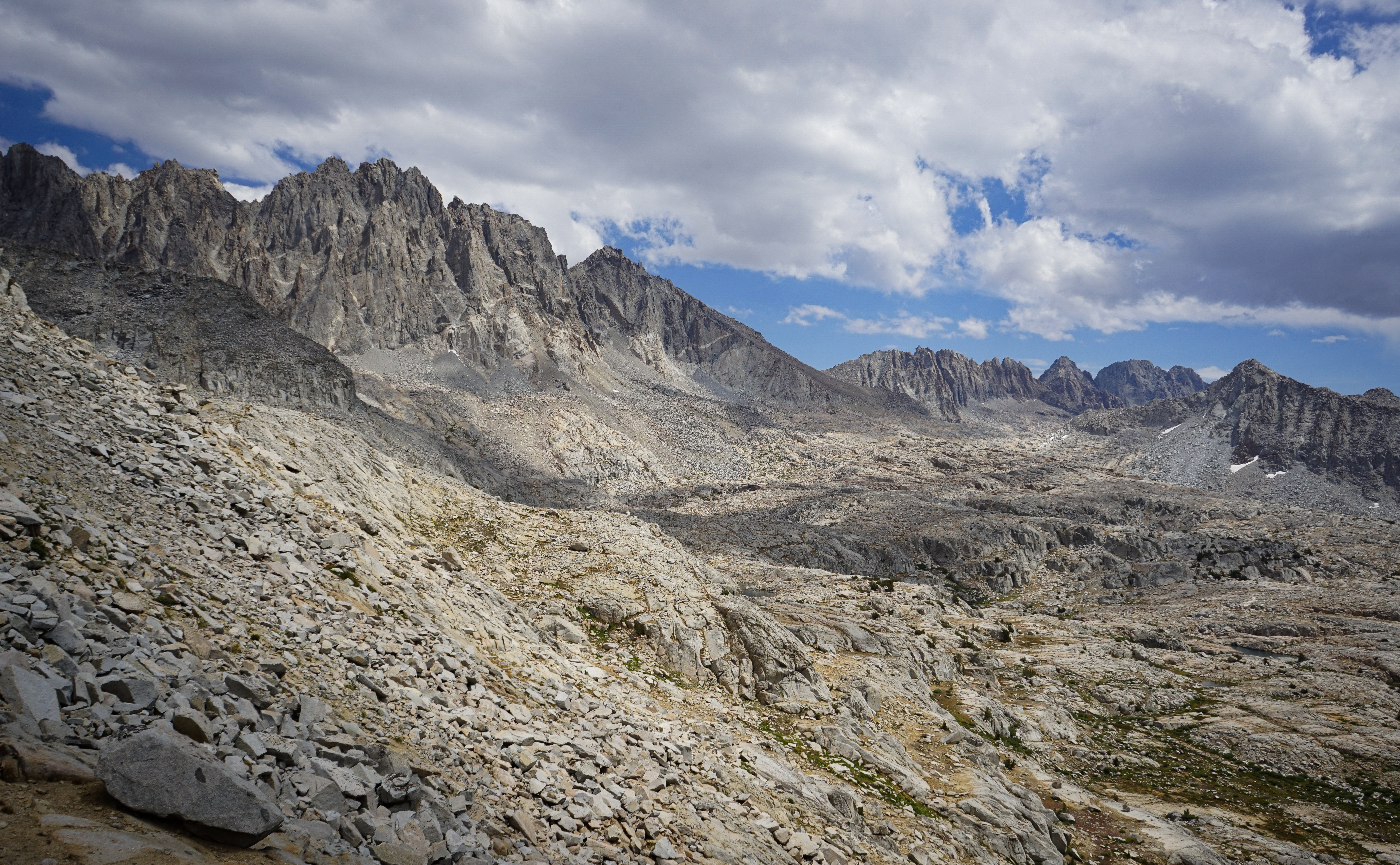
The view north to the Black Divide and Evolution Range from Knapsack Pass.
The Palisades above Barrett Lakes, with Potluck Pass pictured below Palisade Crest at right.
Descending Knapsack Pass was a tiny bit tricky, as described. We accidentally dropped too low and completely missed Lake 11468 and had to climb back up to Lake 11523.

North Palisade, Polemonium Peak, and the long south slope of Peak 13962 (aka Barrett Peak).


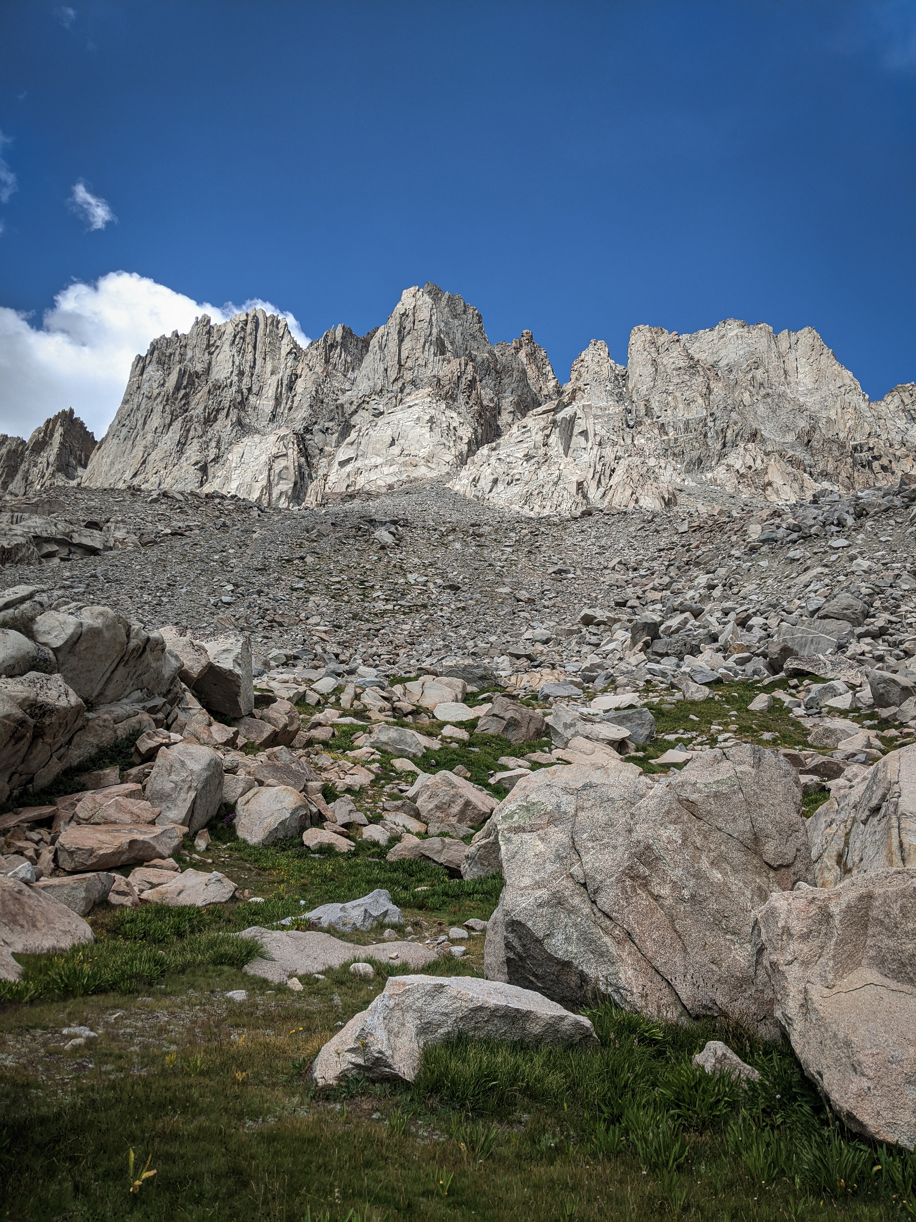
A shot directly up at North Palisade, now only 2,000 vertical feet above us.
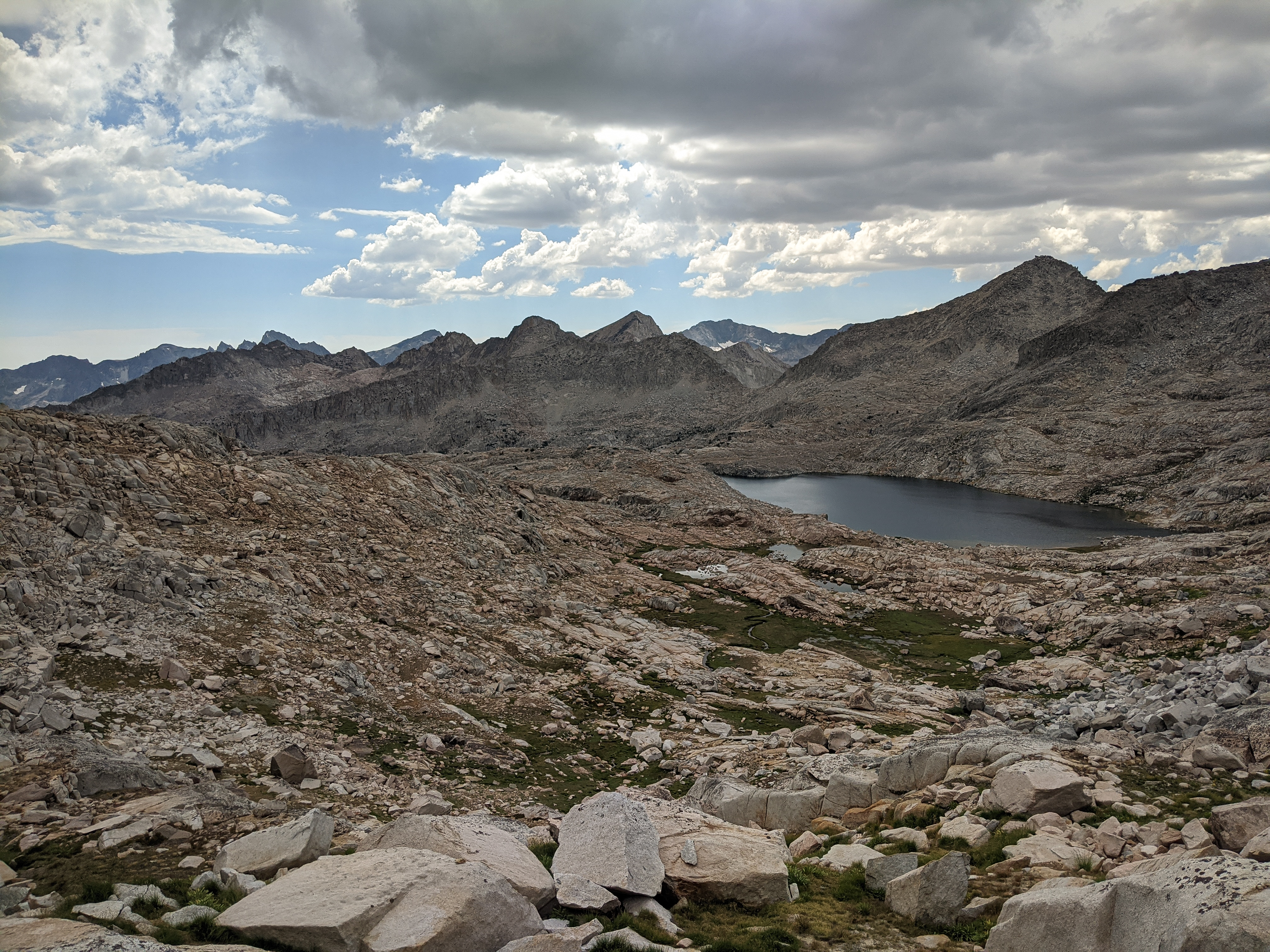
Looking back over Lake 11523 from near the vague notch.

The view of Devils Crags across the basin from Potluck Pass, with a bit of rain beginning to fall. When we crested the pass, we heard a thunderclap off in the distance. We figured we should be able to get down to the Glacier Creek Lakes and make camp there.
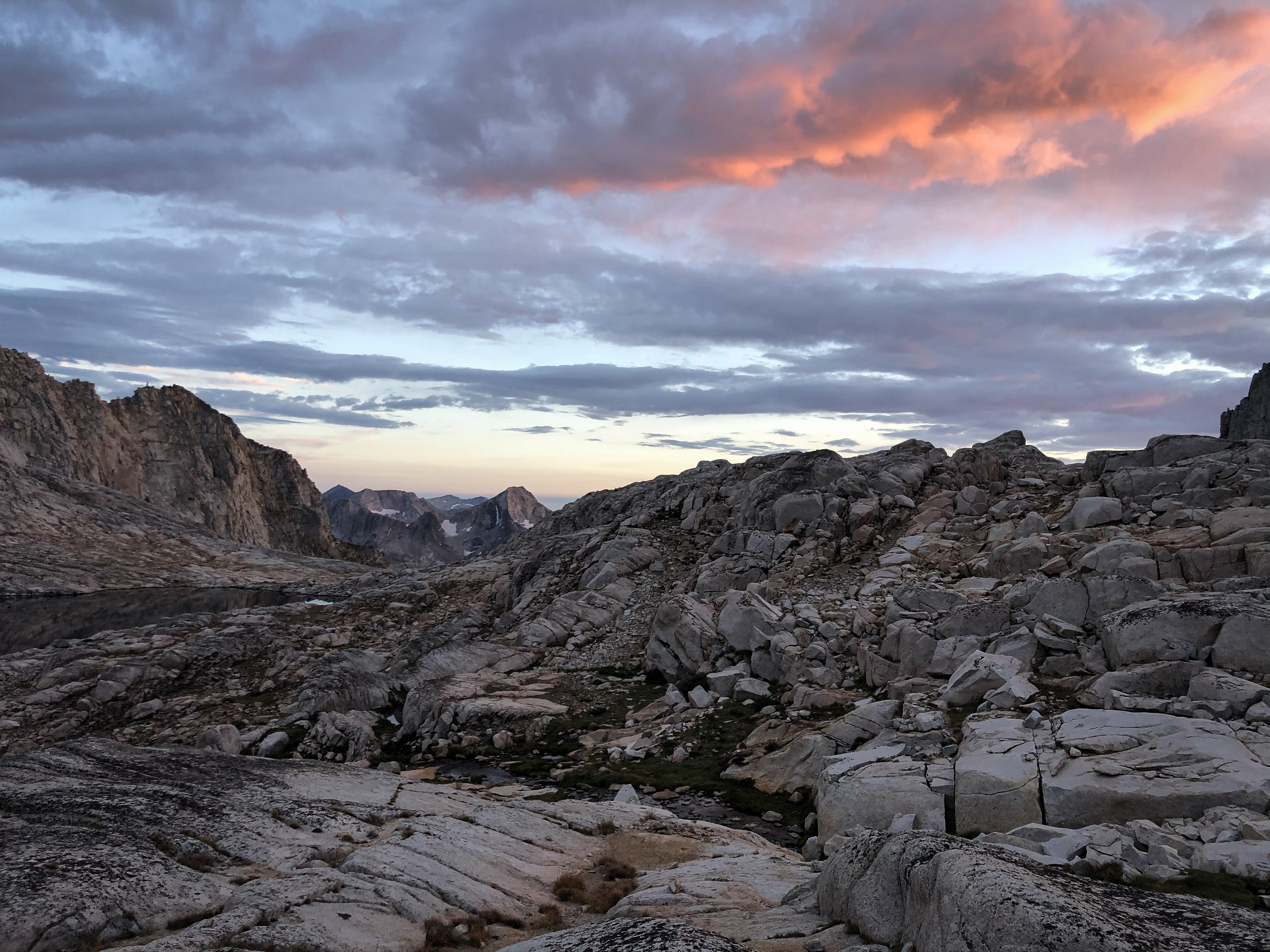
The tip of Amphitheater Lake poking out from its high basin under cloudy skies.
On our way down Potluck Pass we ran into a couple of guys who had climbed Mount Sill, which is a recommended side trip on the SoSHR and was on our minds. They seemed pretty tired, and only offered up that the climb was a “slog.”
We made it down to the larger Glacier Creek Lake and made camp north of the lake on some slabs. We spent a couple of hours hiding from the rain as it passed through a few times before enjoying a lovely sunset.

Evening light on Mount Shakespeare across Palisade Creek.
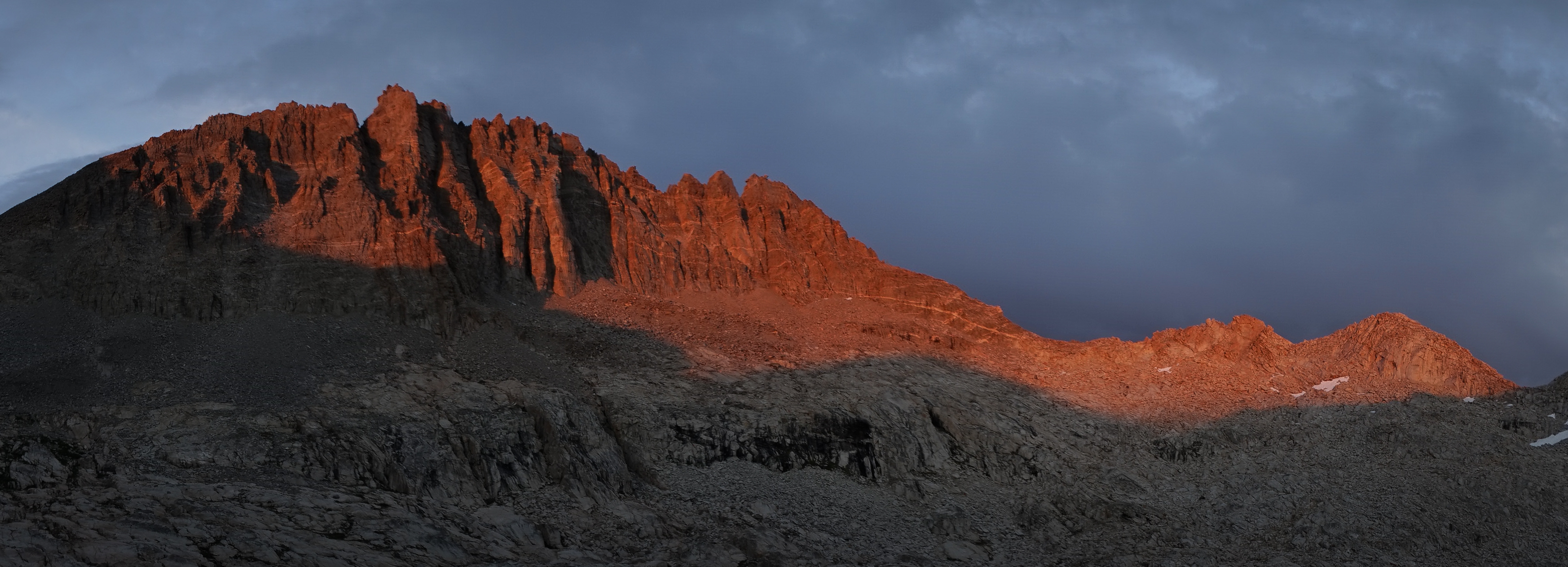
Alpenglow on Palisade Crest above the Glacier Creek Lakes.
We went to sleep with a plan to climb Mount Sill the next day and then see how far we could get after that. I hoped to get over Cirque and Mather Passes to set us up to climb Split Mountain the next day.