<peak>
<name>Mount Sill</name>
<elevation>14,159’</elevation>
<prominence>353’</prominence>
<latlng>37.095968, -118.503212</latlng>
<ascent route>Southwest Slope</ascent route>
<descent route>Southwest Slope</descent route>
<lists>sierra peaks section, sierra peaks section mountaineers, vagmarken, california fourteeners</lists>
<peakbagger>https://www.peakbagger.com/peak.aspx?pid=2726</peakbagger>
<summitpost>https://www.summitpost.org/mount-sill/150410</summitpost>
<loj>https://listsofjohn.com/peak/17721</loj>
</peak>
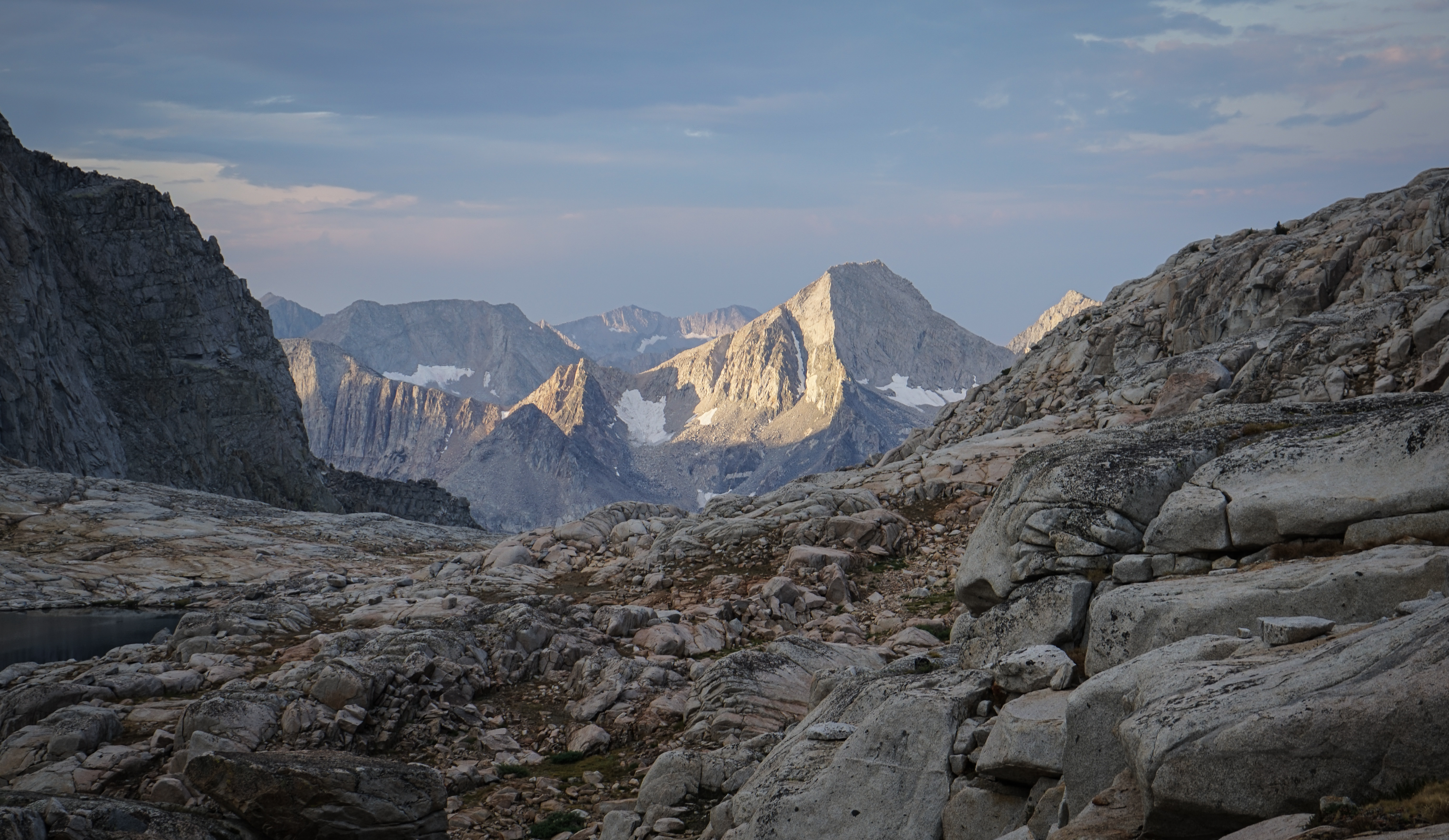
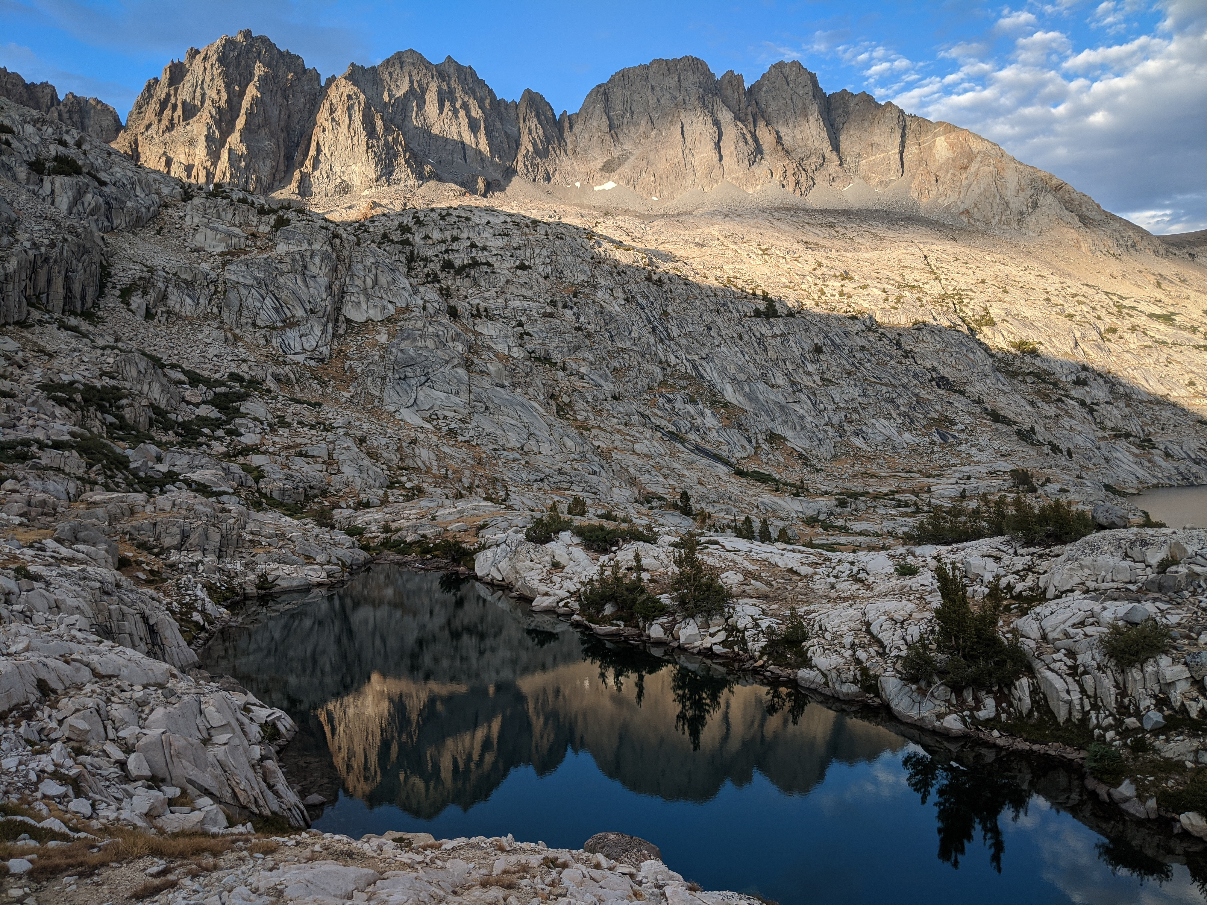
An equally impressive sunrise over Shakespeare Peak.
The weather didn’t look ideal, but we figured we’d be able to get off the summit before noon which meant we should be able to avoid the worst of any afternoon thunderstorms which the cloudy morning skies portended.

We set out to climb Mount Sill via the southwest chutes as described in the Dixon guide, Secor, and elsewhere.
Quickly, we were greeted with a large field of enormous boulders which slowed progress to a crawl. I was somewhat frustrated that this fairly difficult quarter mile long talus field wasn’t mentioned in either guide we had referenced.
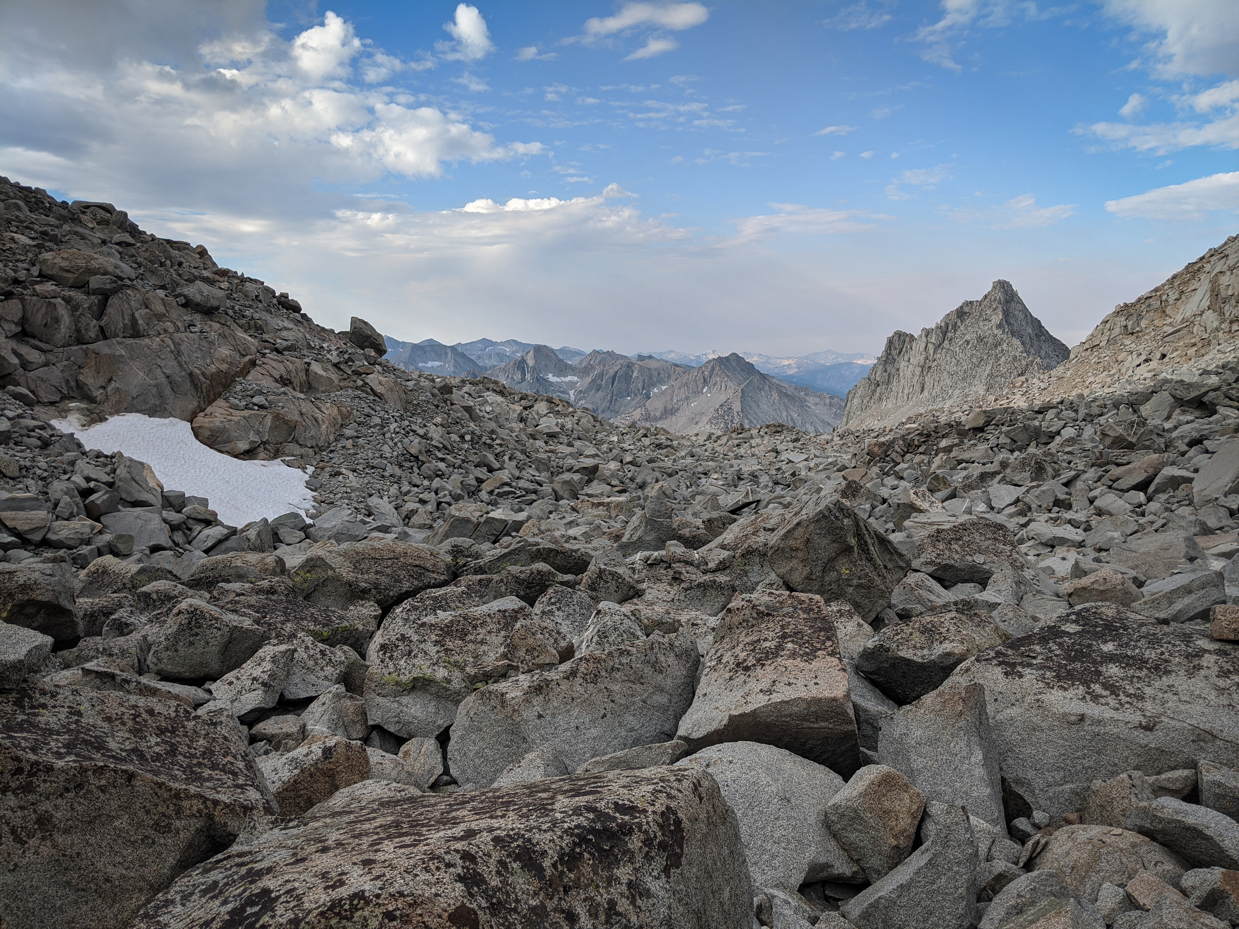
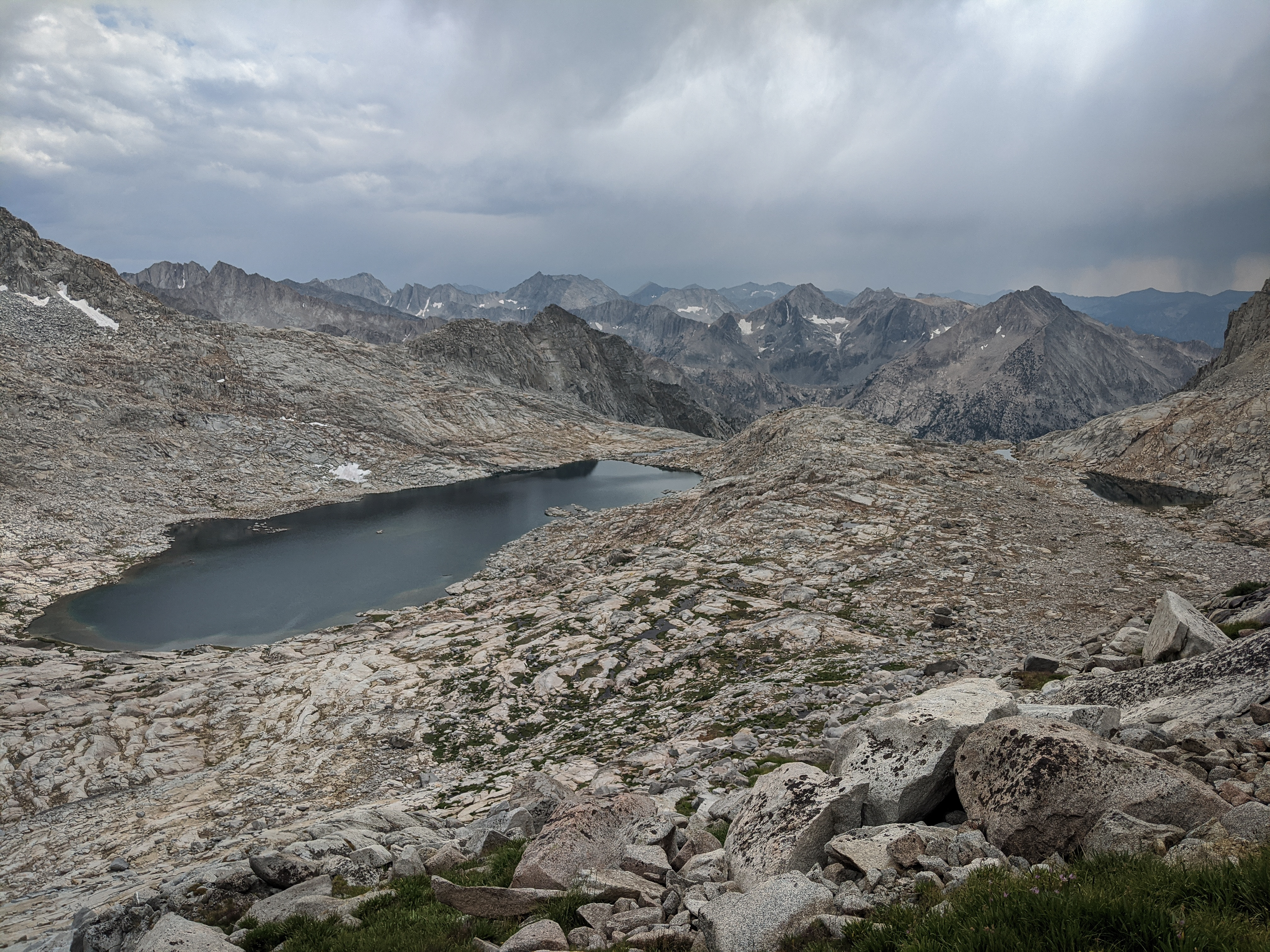
View of the south shoulder of Mount Sill above the boulders and a large moraine boulder field.
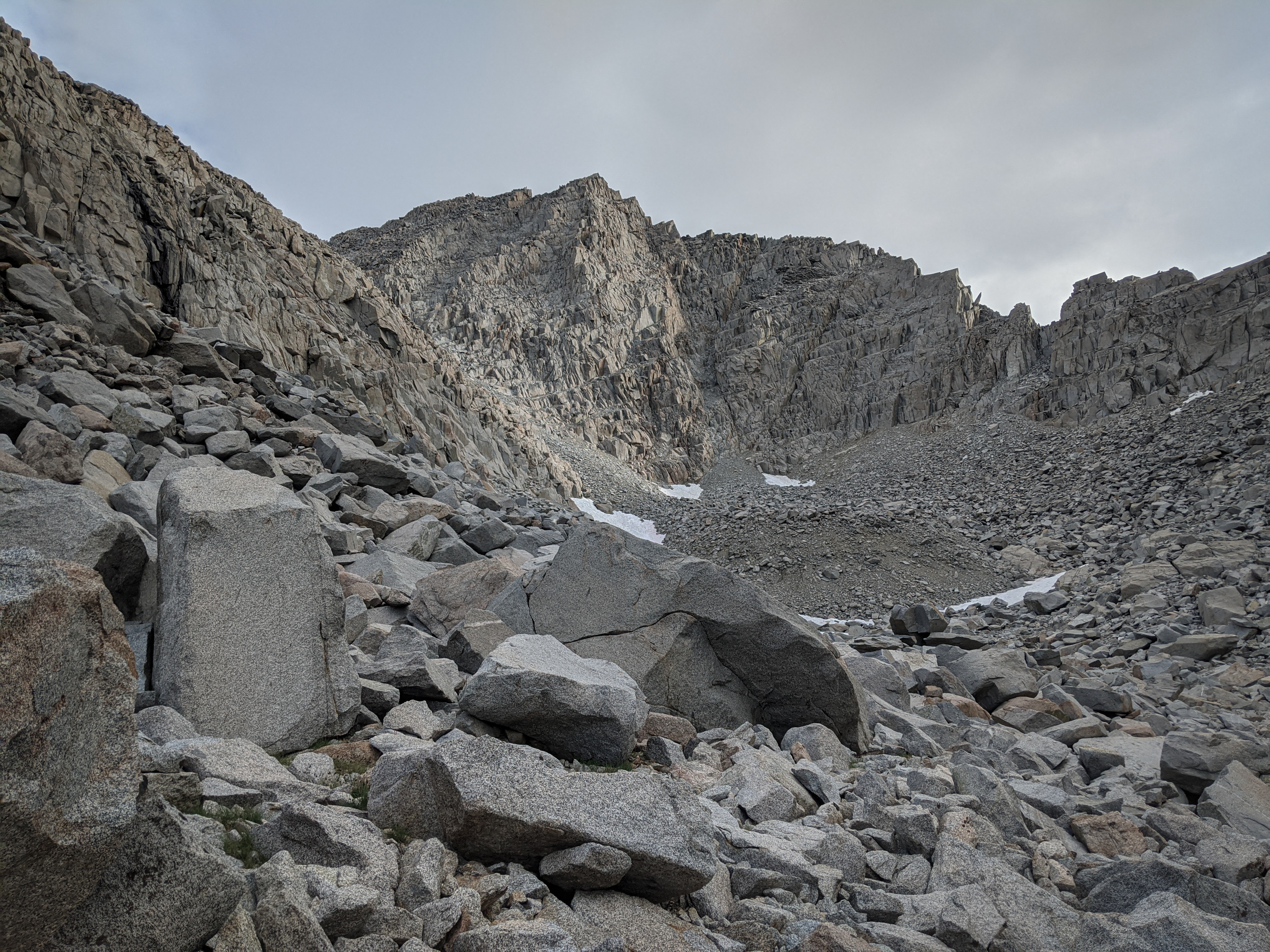
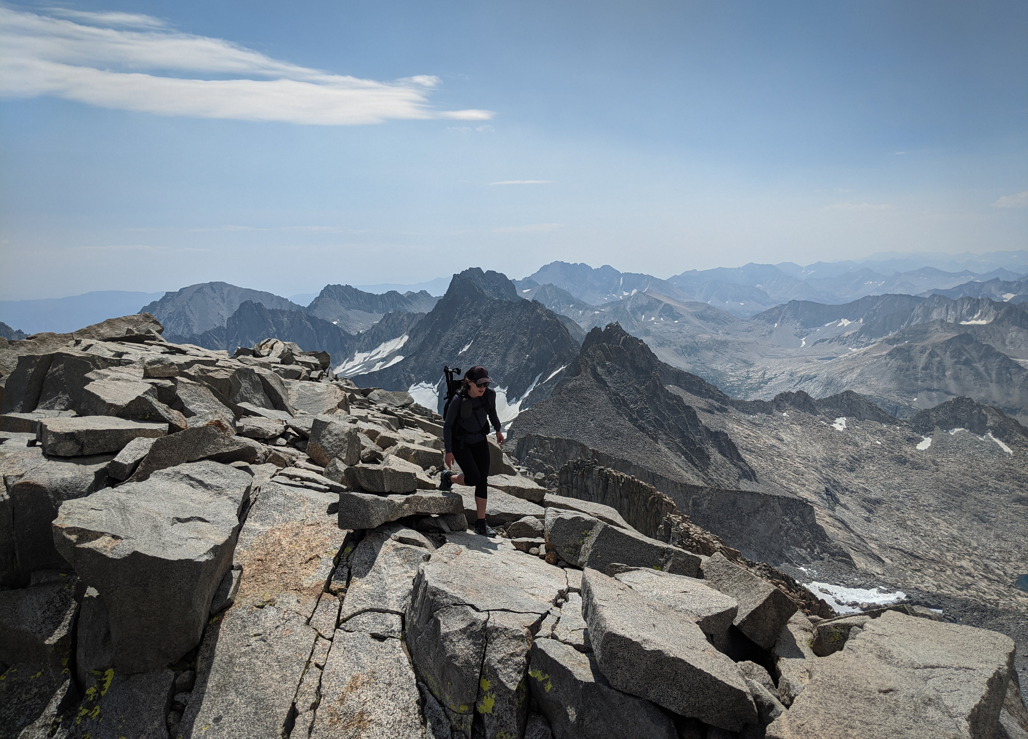
Shannon climbing the final chutes high above the Polemonium snowfield and cirque. We were a bit slower than anticipated climbing the peak because it was almost entirely hopping over medium-to-large talus, save a half mile at the beginning and a brief let up at about 13,000’. There wasn’t anything too technically challenging until the final 600 or 800’, it was just a long boulder slog. I was quite surprised that this wasn’t mentioned by either Dixon or Secor as I found it reasonably difficult for terrain in the Sierra.
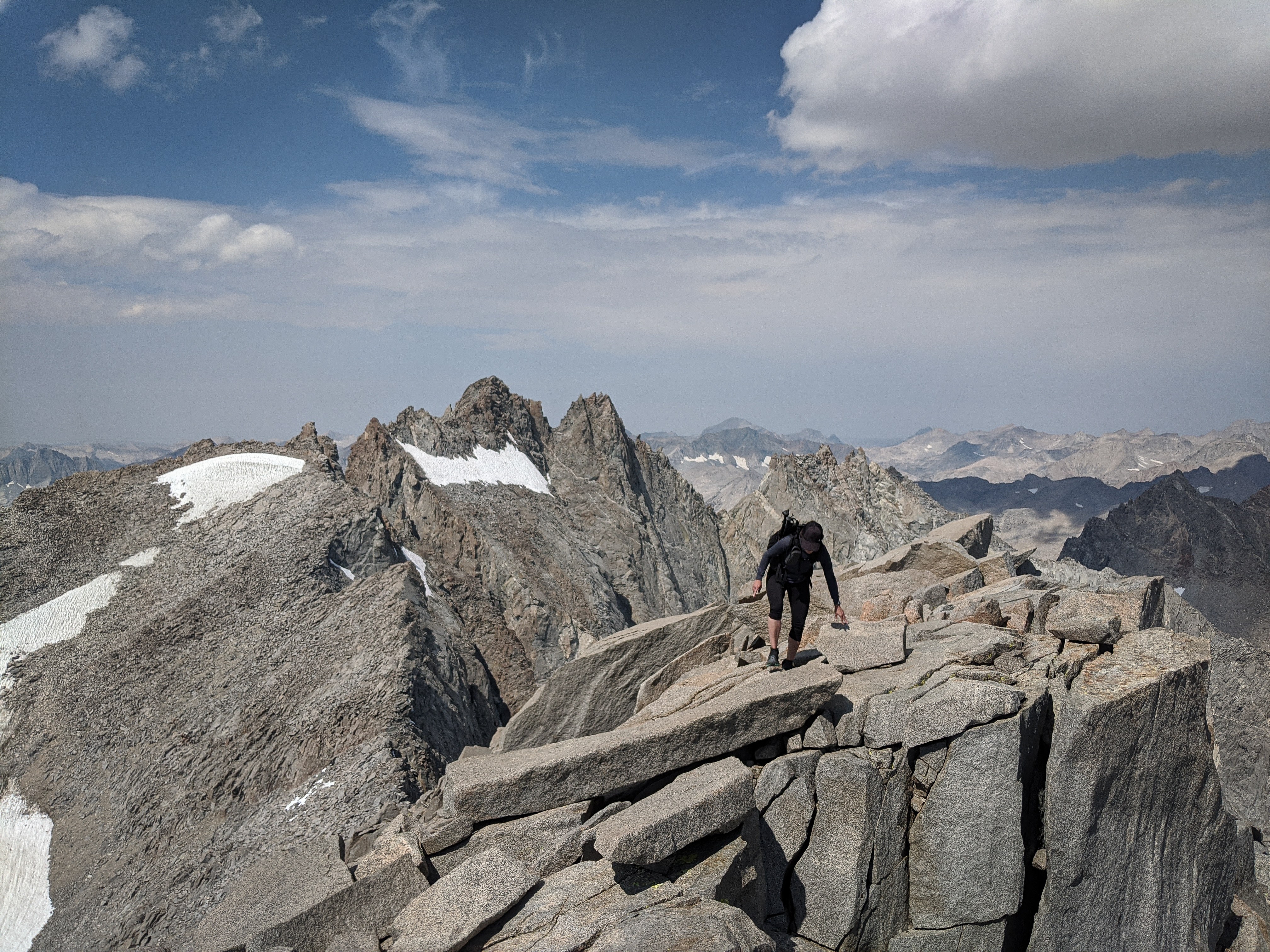
Shannon climbing along the summit ridge of Mount Sill. We found some difficult, but very fun climbing along the ridge to the summit. It was definitely class 3 in places here with a few airy steps.
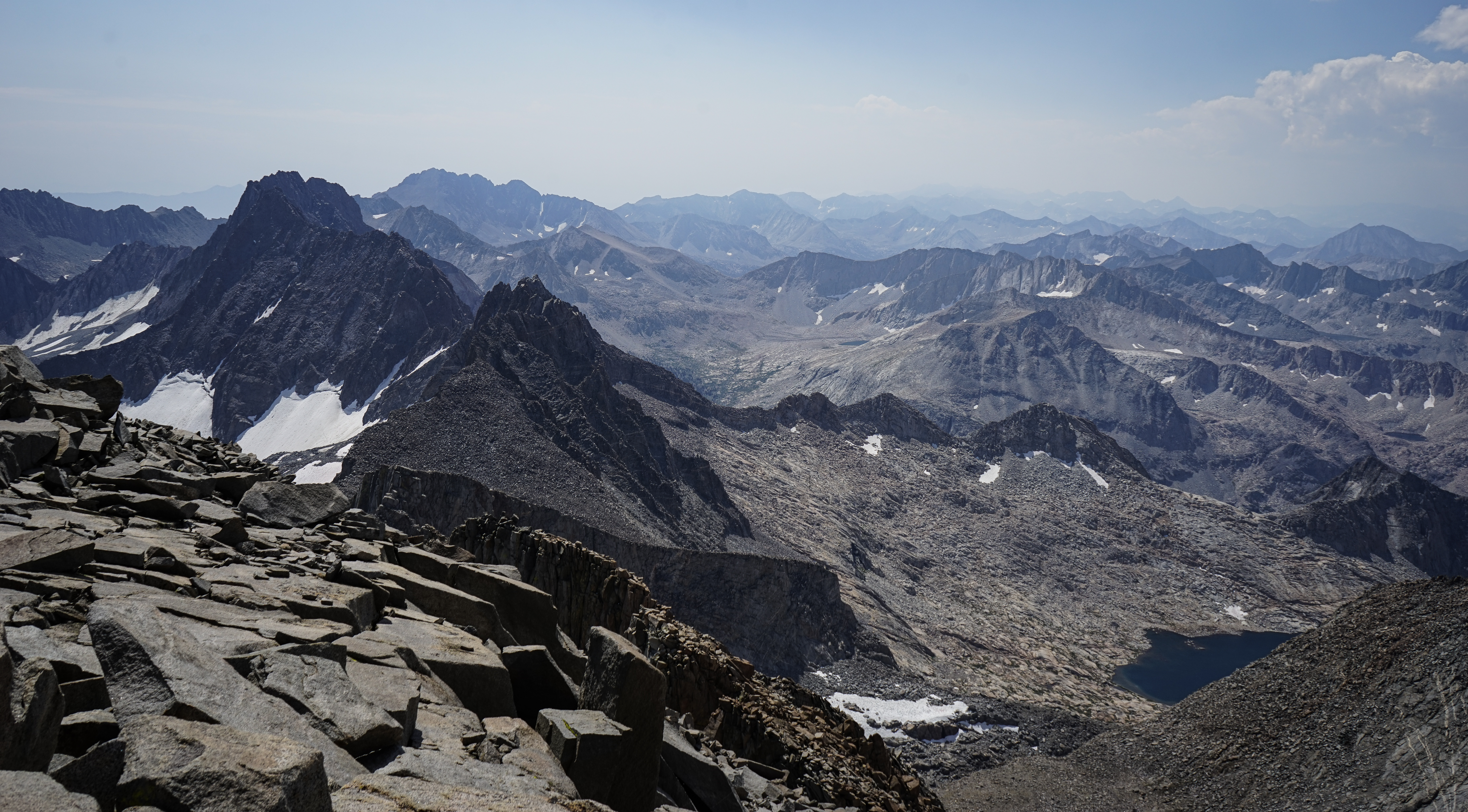
The view south from the summit of Mount Sill. We couldn’t see as far as normal due to some haze. In retrospect, this was probably the first smoke impact of our trip, maybe from the SQF Complex to the south.

North Palisade from the summit of Mount Sill.

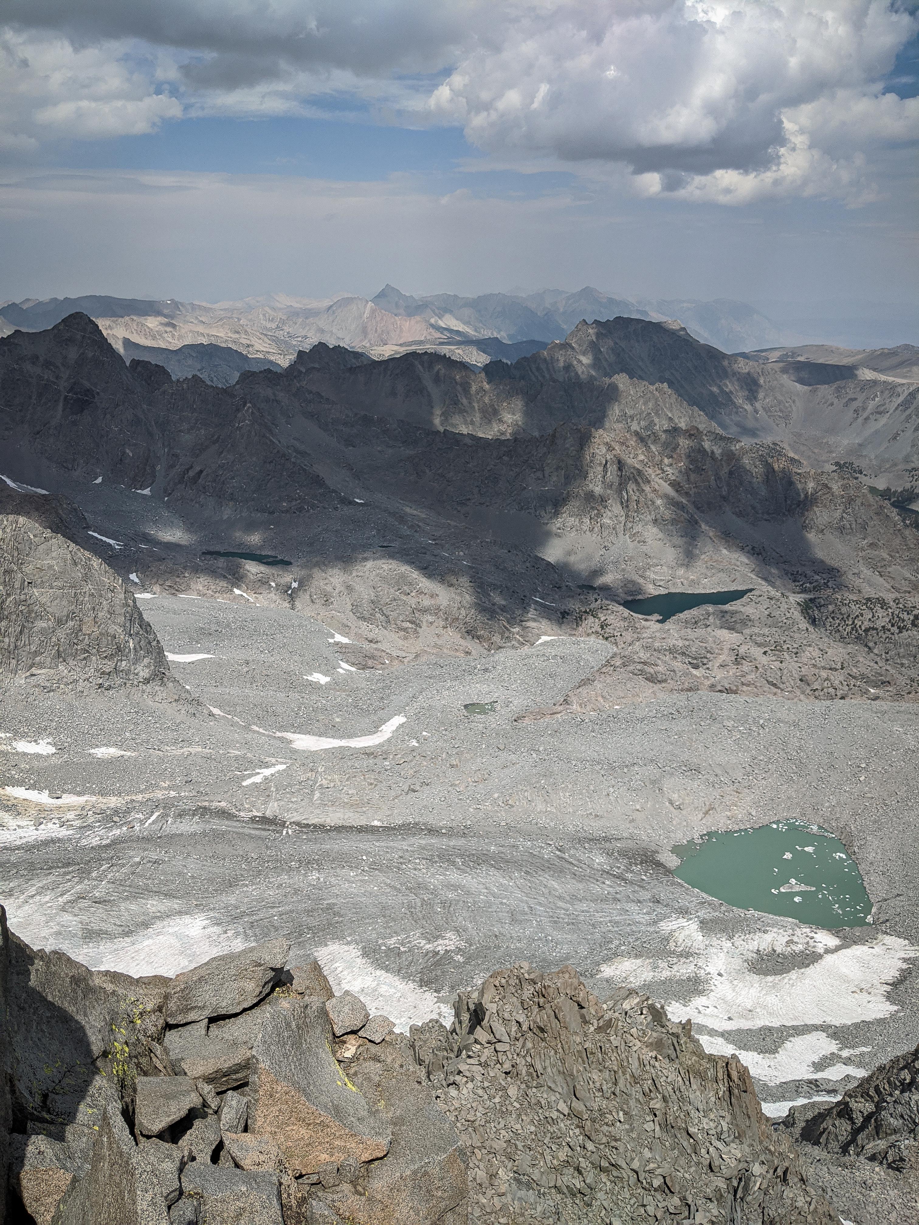
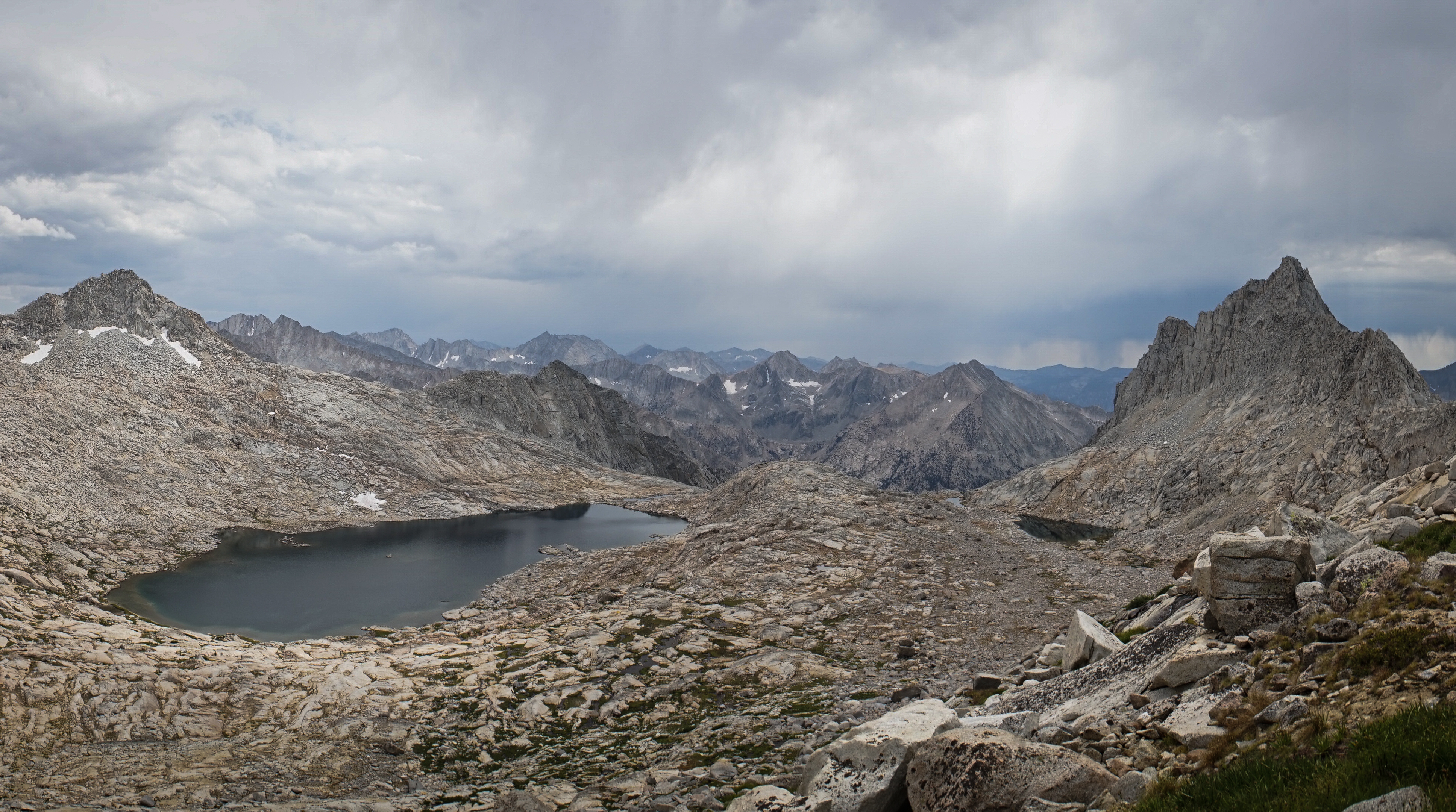
View of the Palisade Glacier, the moraine-dammed Lake 12165 and Sam Mack Lake.
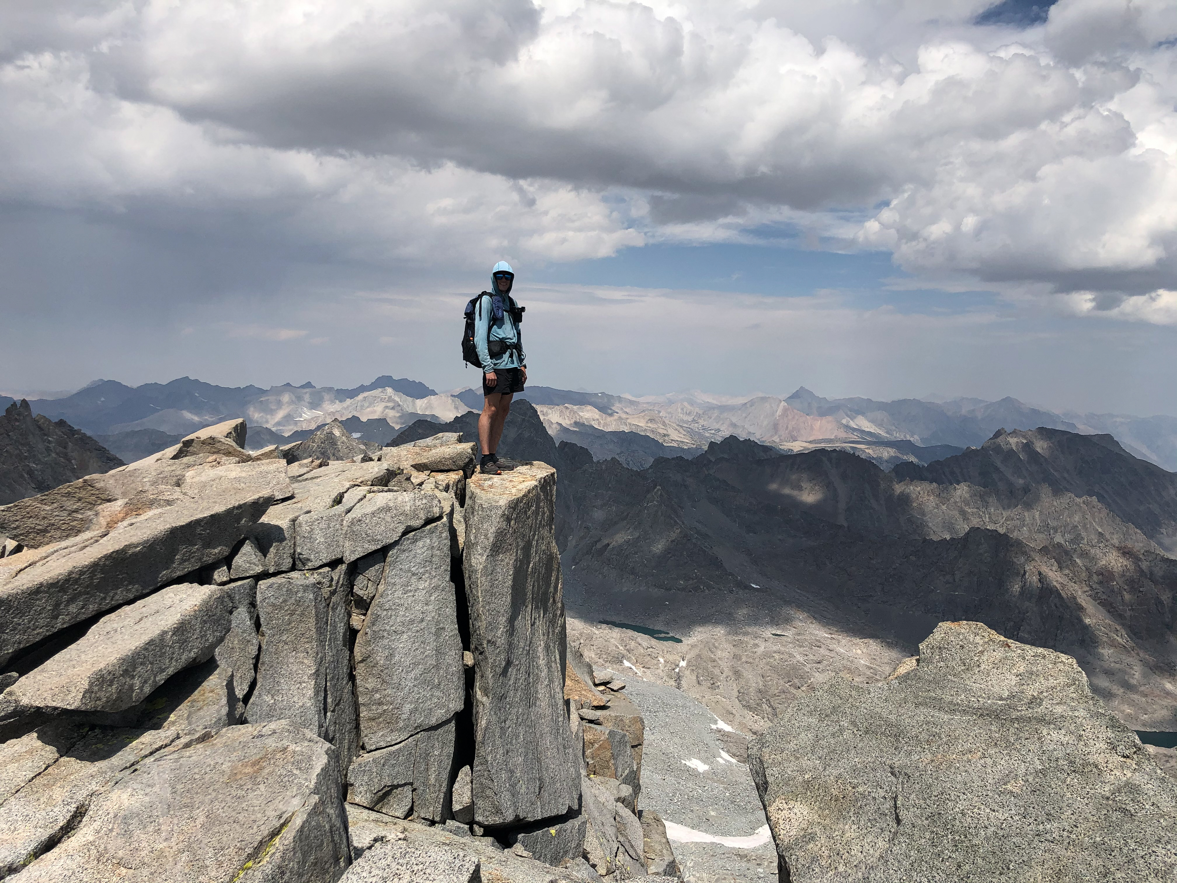
Me standing on the summit of Mount Sill.
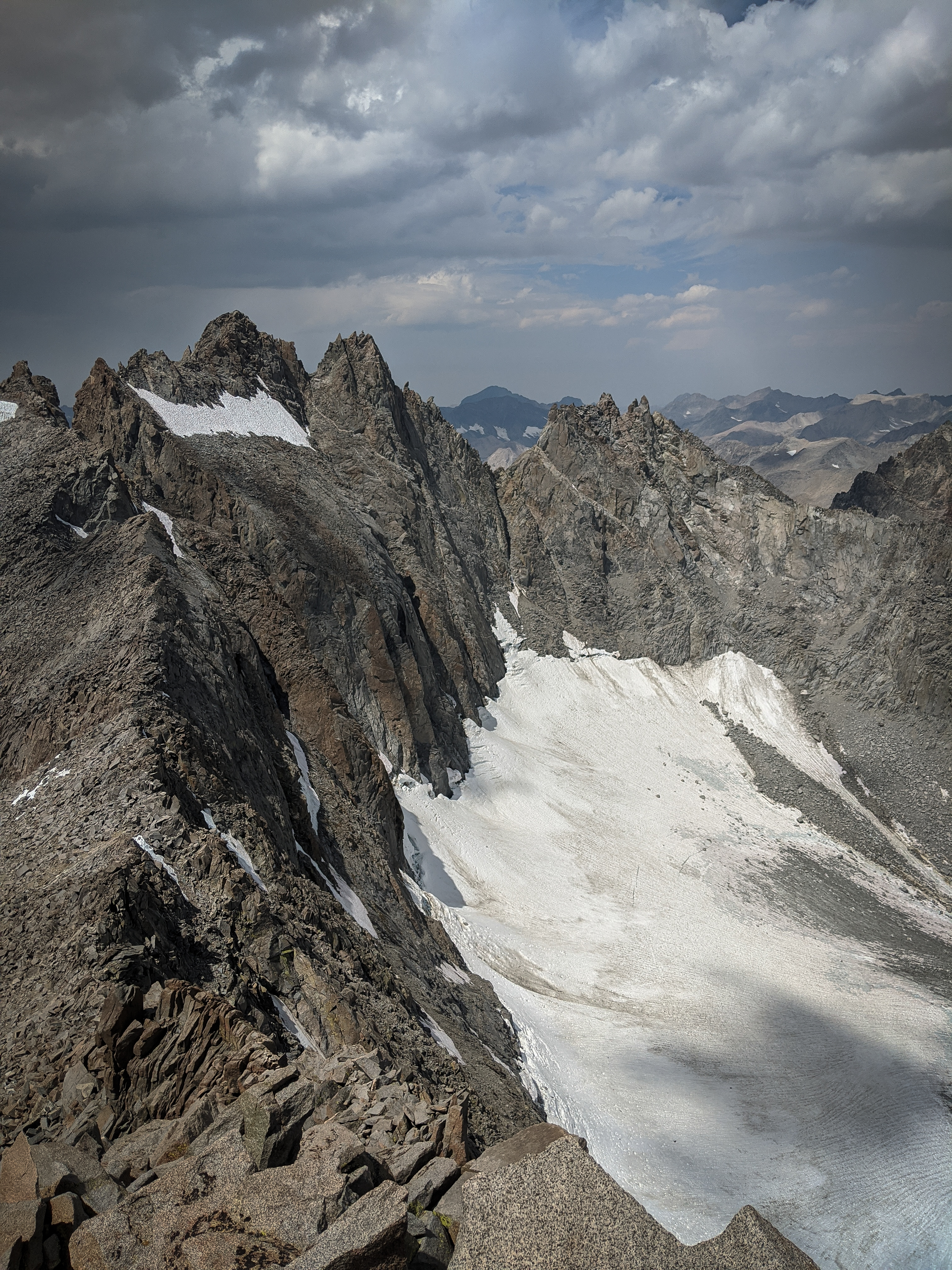
A slightly more dramatic shot of North Palisade, as the clouds continued to build.
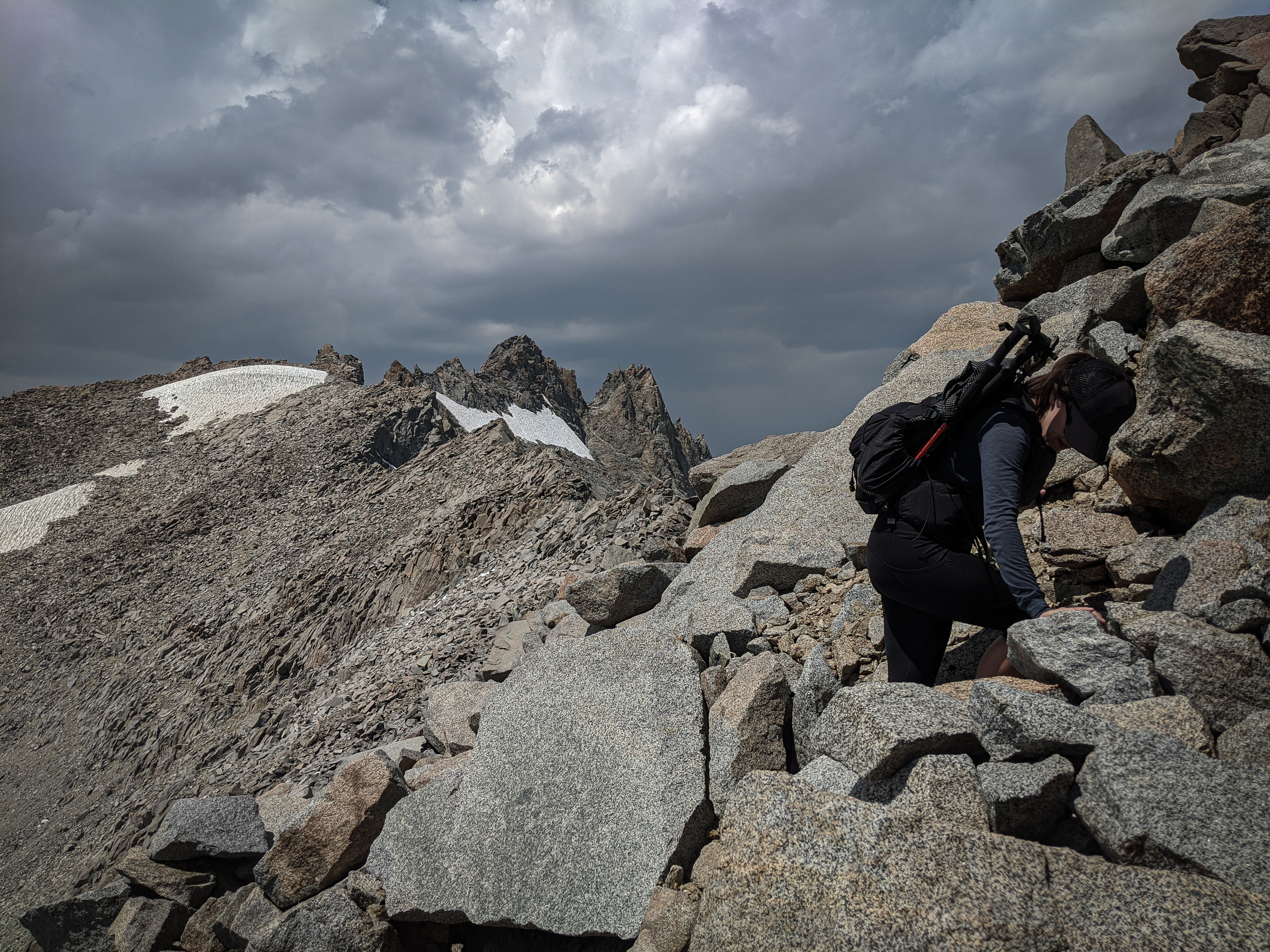
Downclimbing the gully back to the high cirque between Mount Sill and Polemonium Peak. We made it down to the cirque before the rain and hail started. It wasn’t too bad, and we only heard a couple of thunderclaps in the distance, but we did hide under a rock for a snack break.
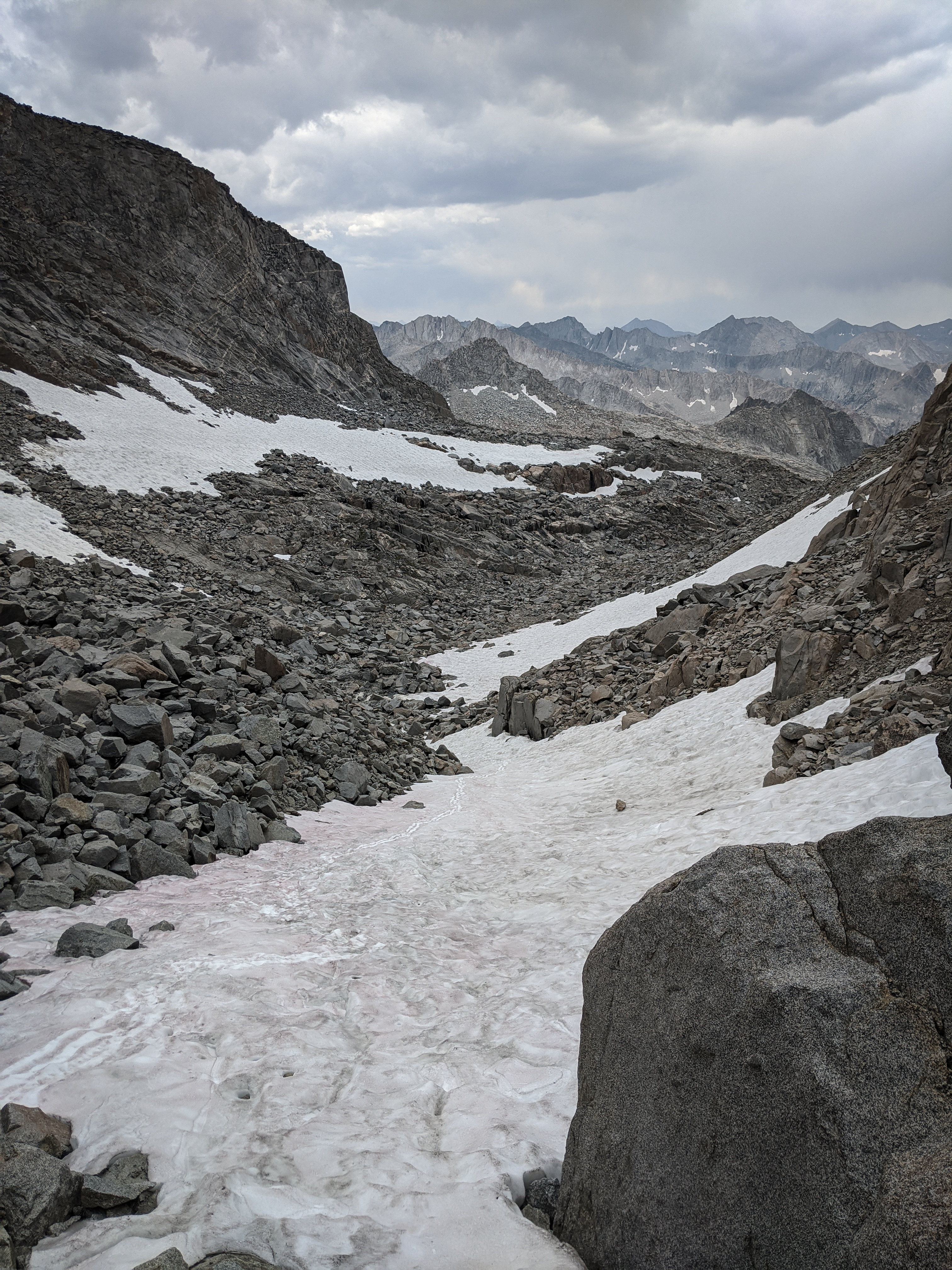
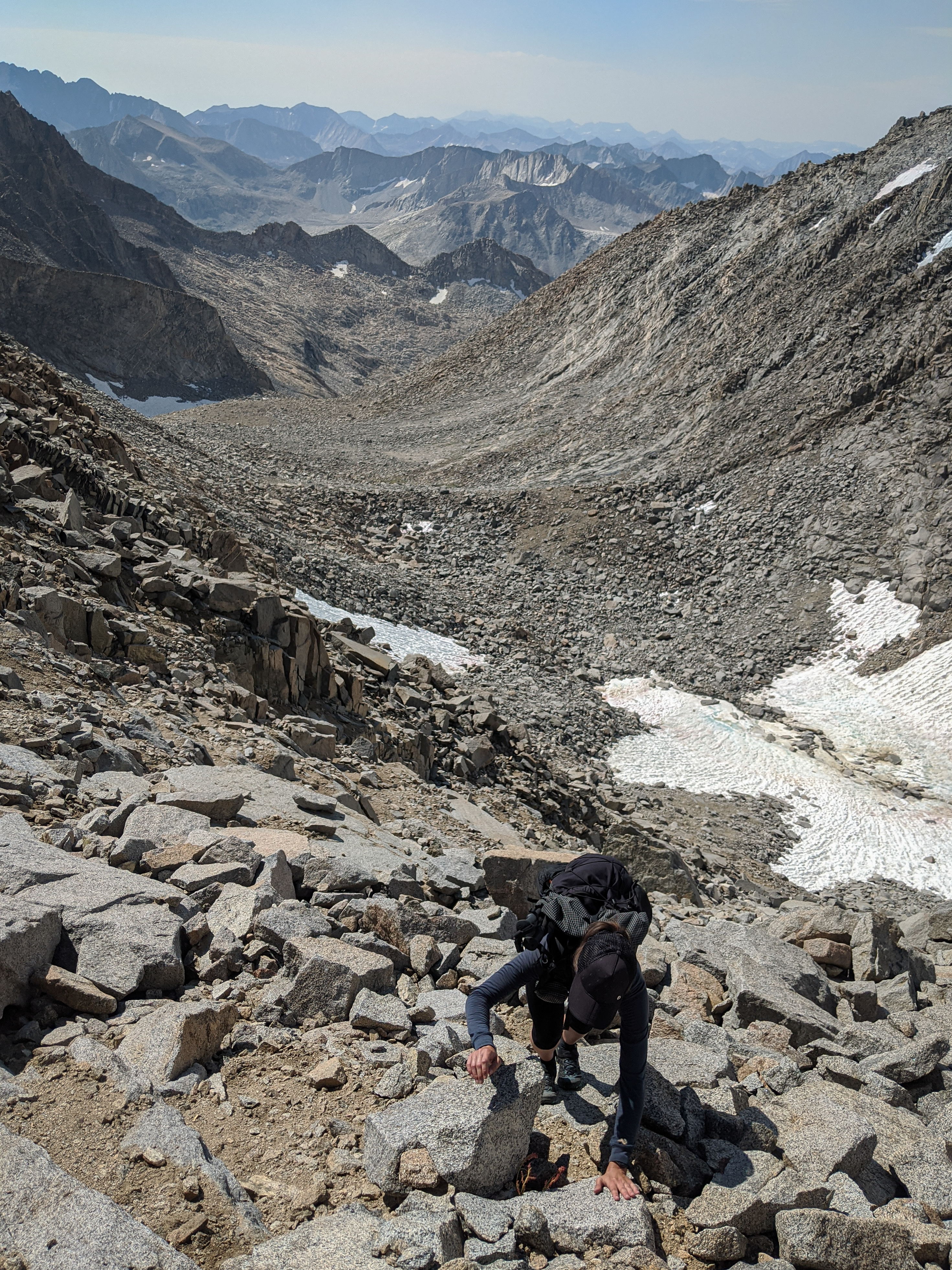
The view down a snowfield to the lower cirque. We hoped the snow would soften enough to book-ski down, but it was still a little bit too hard and steep, so we descended talus instead.

Shannon descending through some of the largest talus on the route.
We made it back to camp in mid-afternoon as it tried to thunderstorm all around us. Mostly it was just spotty rain. We decided to rest for a bit and then see if we could get over Cirque Pass and down to the JMT.
We were pleased to have summited Mount Sill, but I found the Southwest Slope route to be almost not worth the effort. This is a very long, meandering talus slog with some redeeming climbing near the top. The summit view is definitely great, but I think that Mount Agassiz would be a more enjoyable climb for most SoSHR hikers looking to add a peak on the northern end of their trip. I’m not sure I’ll be able to convince anyone to make this switch, so if you do attempt Mount Sill, be prepared for miles and miles of difficult talus.

The view over the larger Glacier Creek Lake as the storm cleared. Cameron found us packing up our stuff as the clouds cleared, and we chatted for a bit about his trip to resupply over Bishop Pass.

The view of North Palisade and Polemonium Peak from the other side of the Glacier Creek Lakes. The hike around the outlet of the lake was quite nice and we found some really awesome campsites near the lake outlet. I’d definitely recommend trying to camp there if you can.

Near the crest of Cirque Pass, Mount Sill appeared along the crest horizon.
We were not able to find the “obvious narrow slow” that Dixon mentions in his description of Cirque Pass either from afar or on our way up the pass. There wasn’t much else to go off in the guide, so we just chose our own route up. The slabs forced us a little farther east than we wanted, so we ended up having to traverse across gaps in the angled slabs.
Dixon’s (and Secor’s) description of the south side of this pass made a lot more sense. We were tempted a little bit too far east below the tarns and had to traverse back west. On our way down, the clouds opened up and spit rain on and off for an hour.

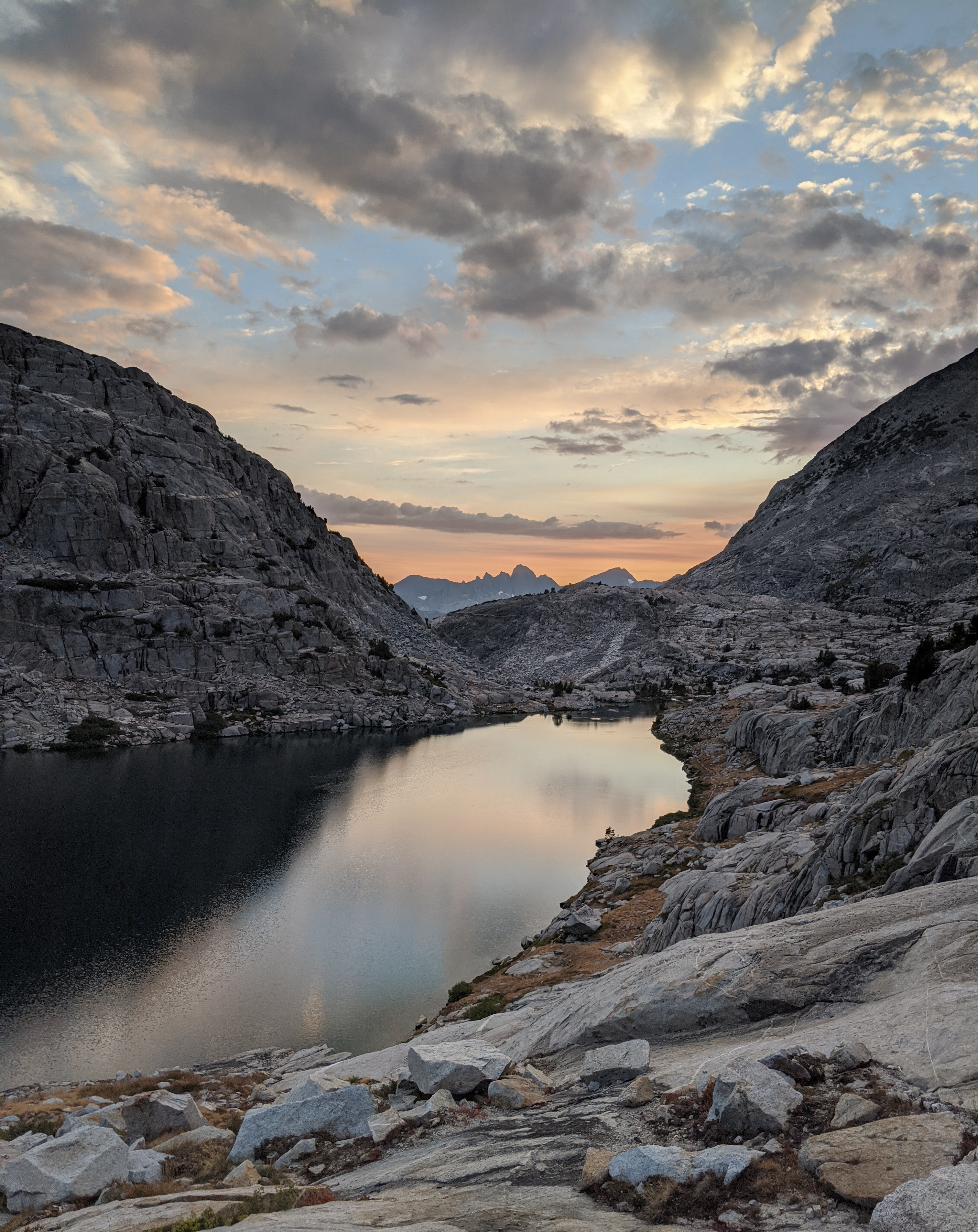
Our first views of the Palisade Lakes were made even better by some great evening light broken up with the patchy cloud cover.
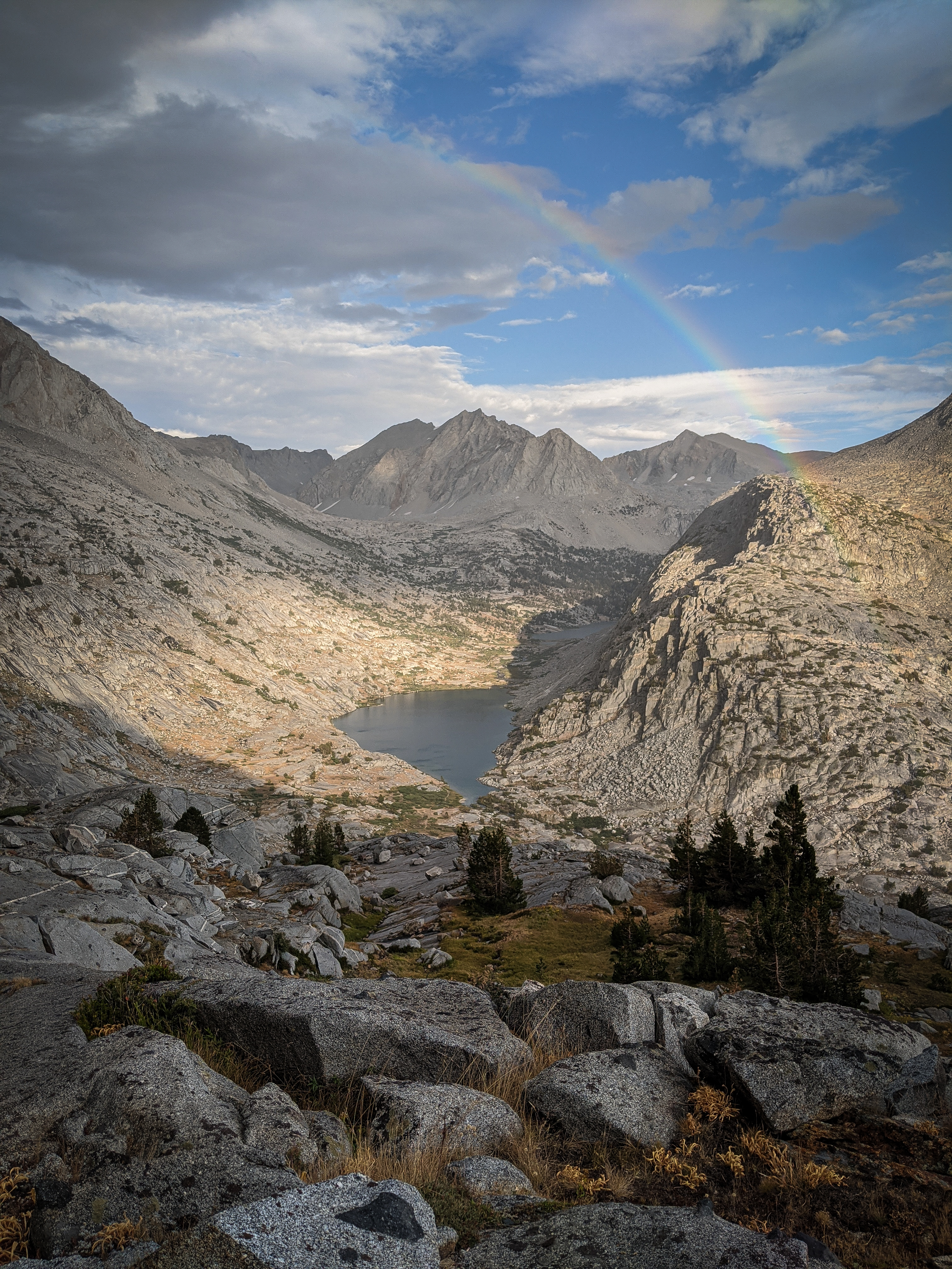
As the rain passed, a beautiful rainbow framed the lakes and mountains behind.

Lovely evening light across Palisade Creek on Mount Shakspere.
As we passed above the small lake due west of Palisade Lakes, we were treated to a stunning reflection of Norman Clyde Peak, Middle Palisade, and Disappointment Peak. The lower parts of the descent from Cirque Pass were really beautiful.
We found the JMT at Lower Palisade Lake and greeted a few of the 15 or so groups occupying every free space near the lake’s outlet. In the first few minutes on the JMT, we had seen more people than in the day and a half traversing the Palisade Basins. We decided to put a mile or so behind us and find the better sites Dixon mentions up the trail.
View of the setting sun over Lower Palisade Lake and Devil’s Crags on the horizon.
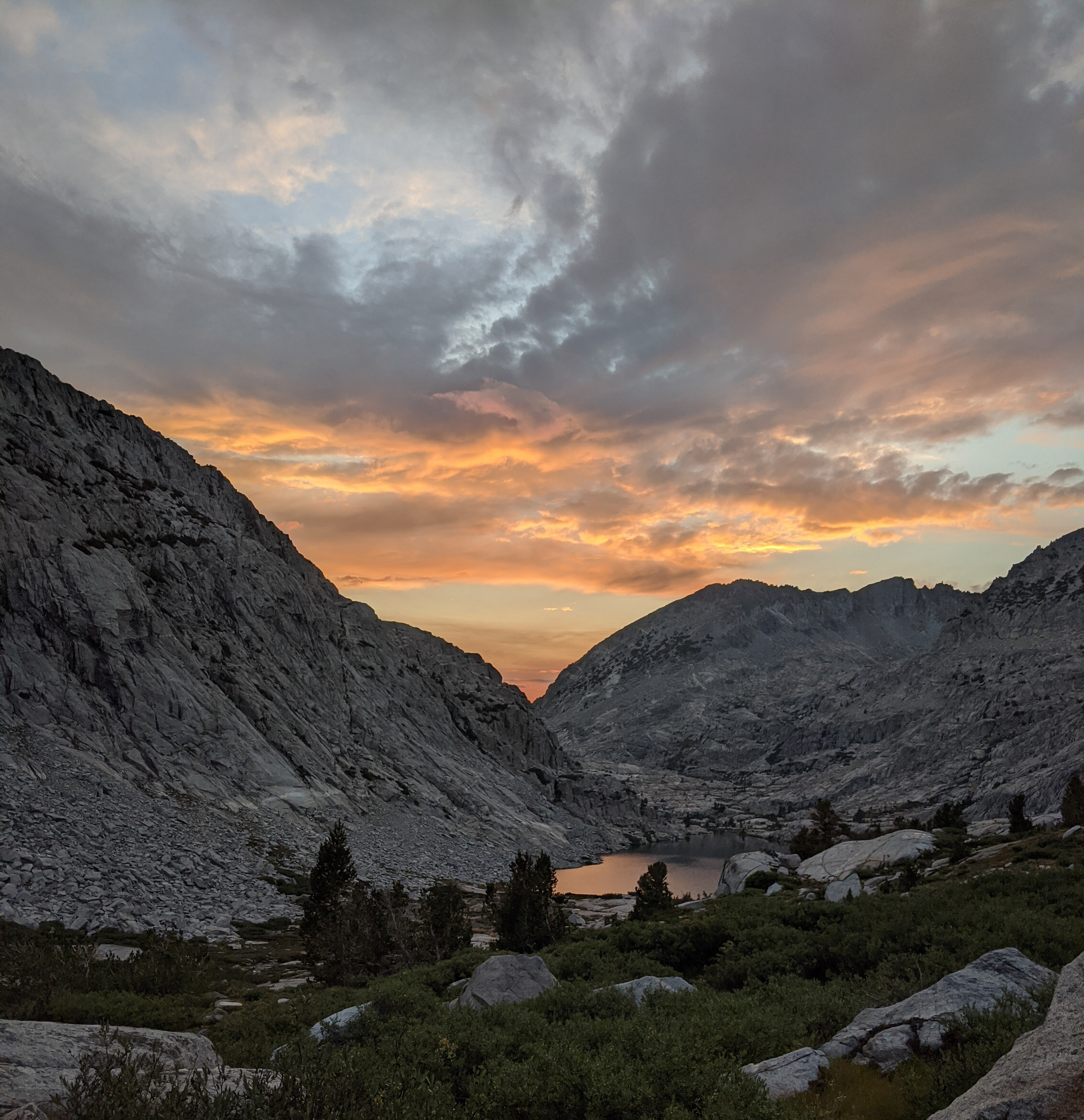
One more shot of the lovely sunset over Lower Palisade Lake.
We pulled over just before the crossing of the creek that runs into Upper Palisade Lake. There was another large group camped in the small forest here, some with their tents only a few feet off the trail, and three or four other groups near the creek, but we managed to find a slightly isolated spot.
Despite the low mileage measured by GPS, we had done a pretty full day and slept well. We thoroughly enjoyed the Palisades section of the route, but were ready for some easier on-trail miles.