
We woke up to a much clearer view of the Kearsarge Pinnacles.


Mount Bago from the trail.

The views from the lower trail past Bullfrog Lake are pretty nice too.


Classic JMT views of East Vidette along the drop to Lower Vidette Meadow. As we headed down the trail here, we passed a hiker who was throwing snack food from a bag he was carrying off the trail into the bushes. He stopped doing it when we got near and I was too surprised to say anything to him.
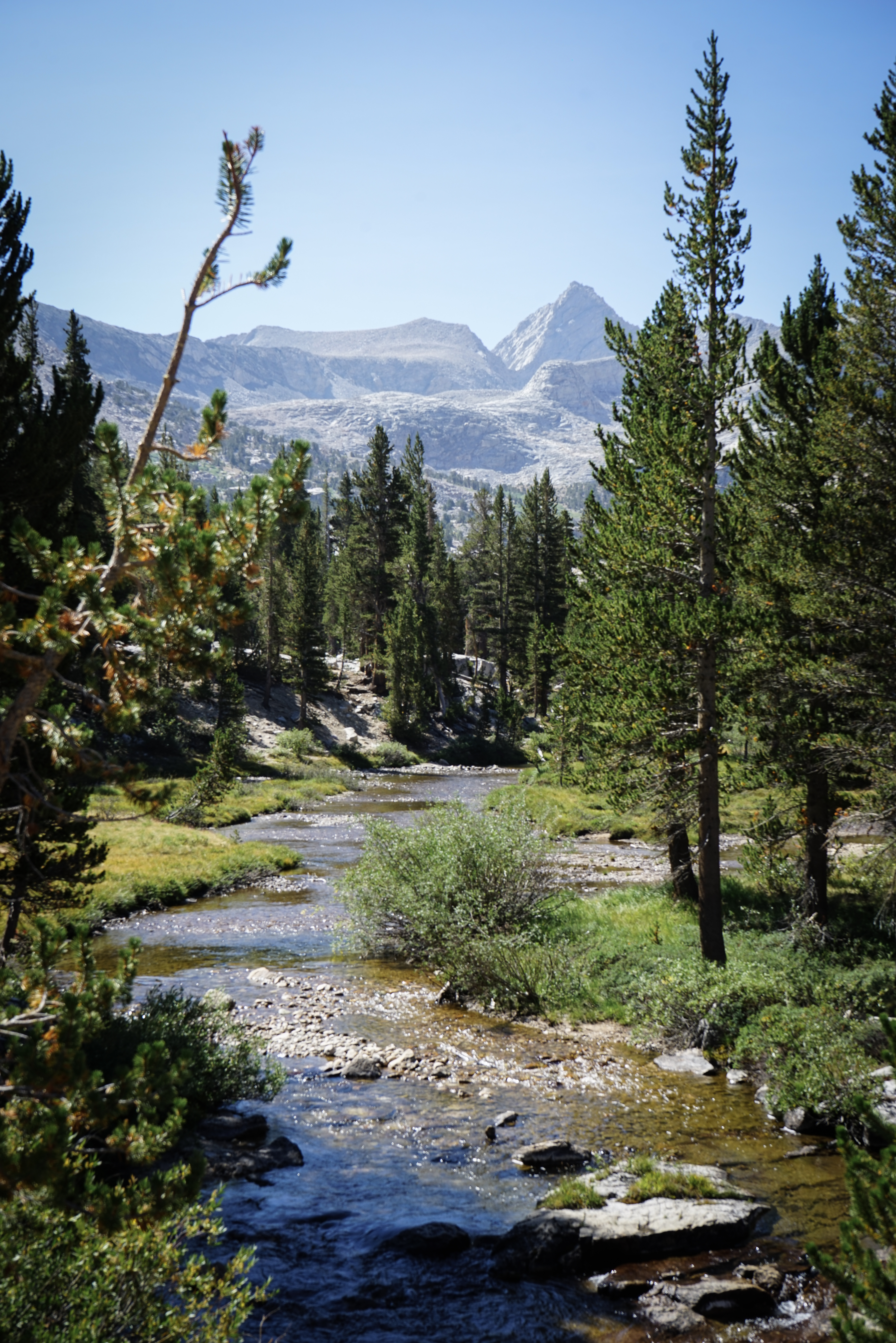
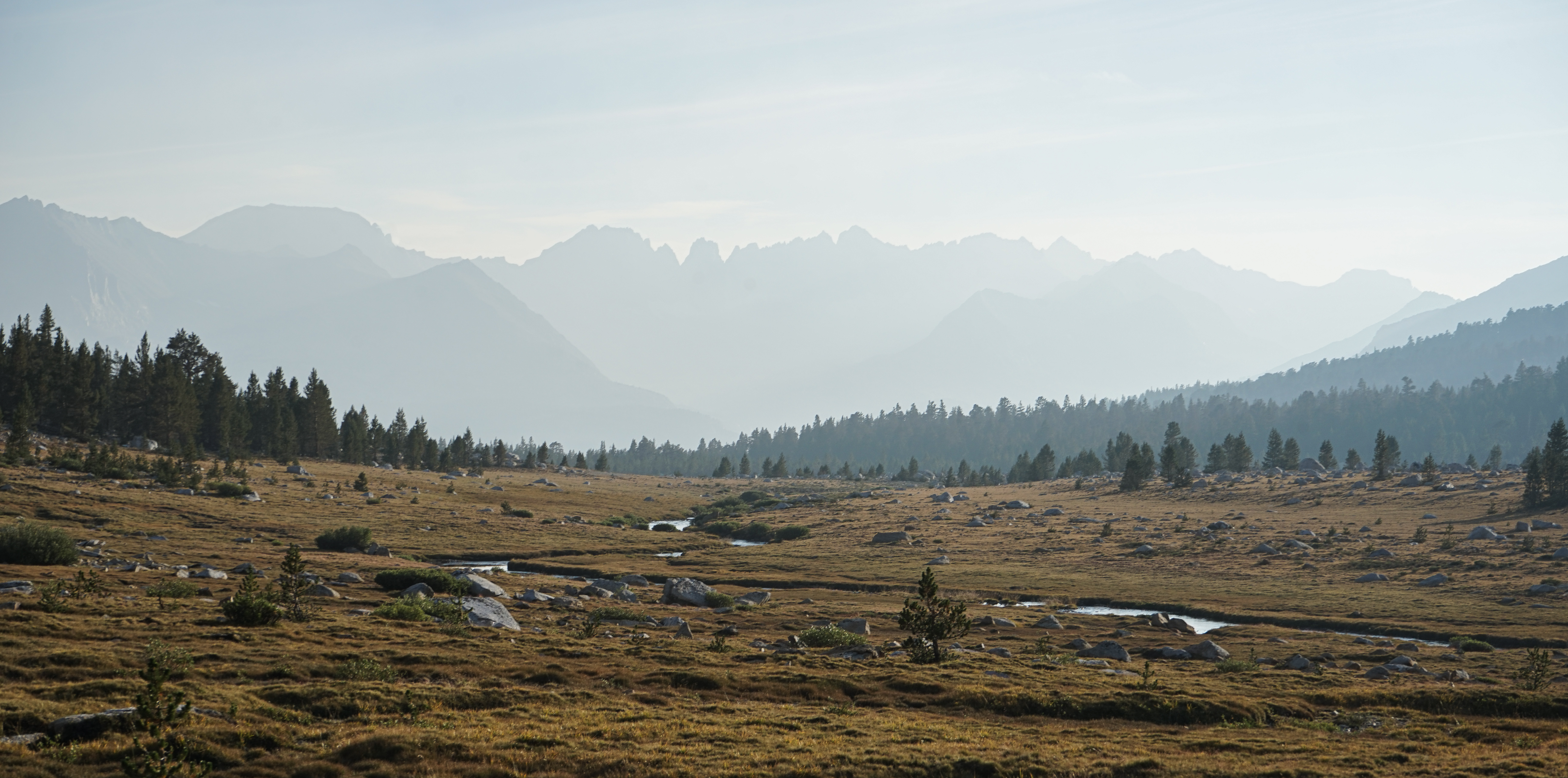
Along Bubbs Creek on the way up Forester Pass. As Dixon describes, we didn’t find the use trail to Junction Pass very obvious. It seemed like the option Dixon describes is just a few feet past (south of) the large horse camp with bear boxes.
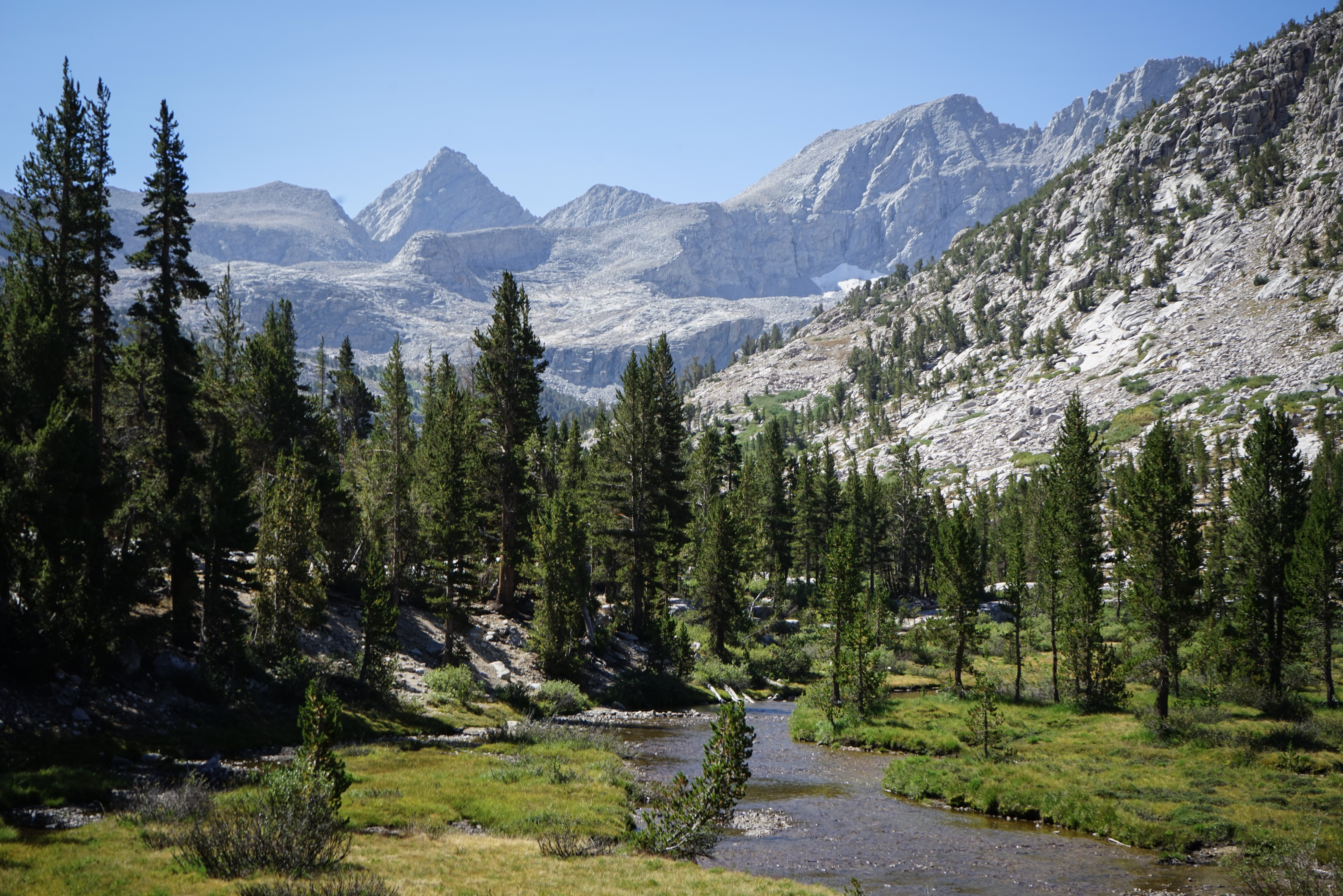
This was my third time crossing Forester Pass. Each time, I’ve found it to be a long climb with great views.


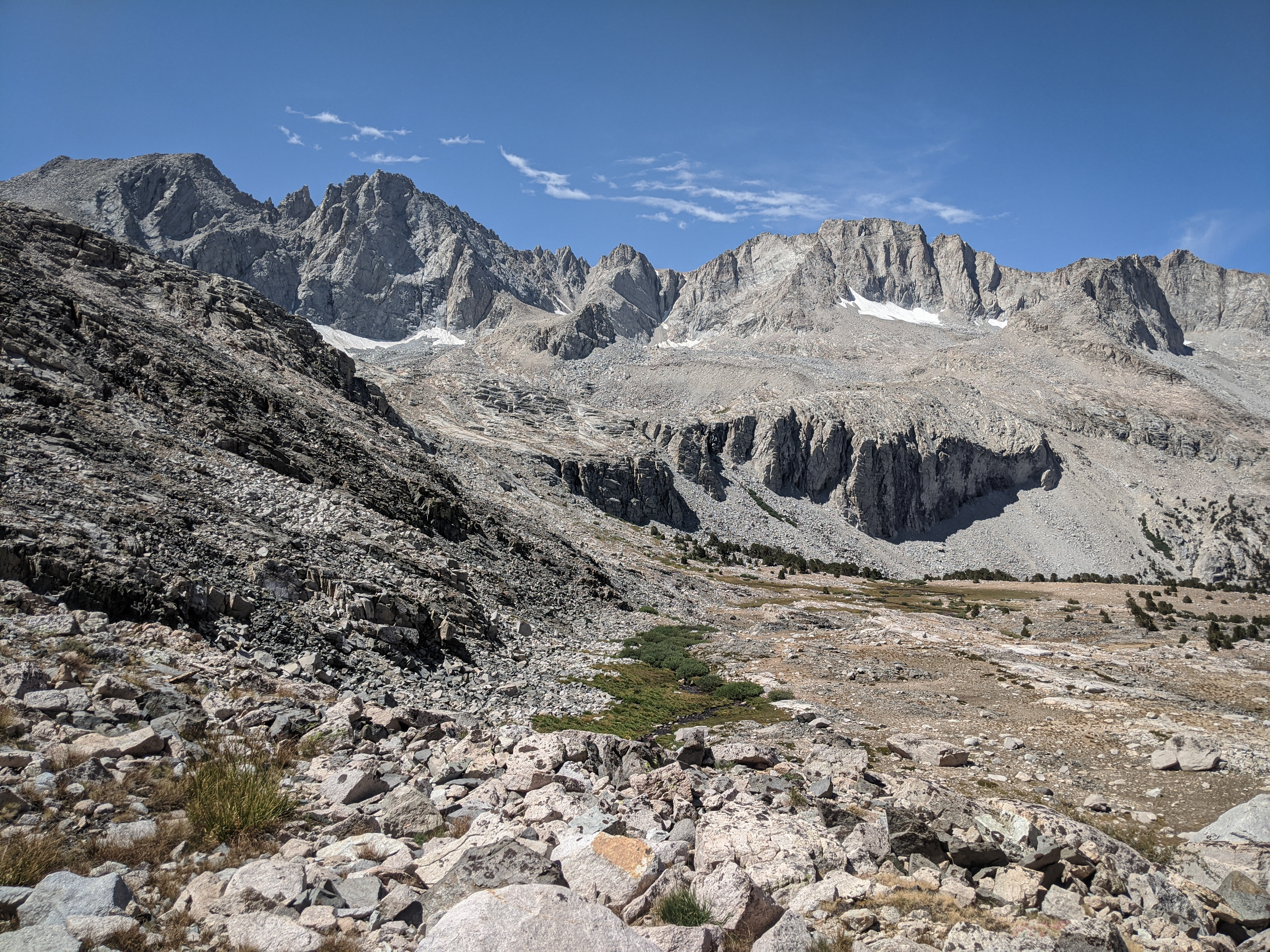
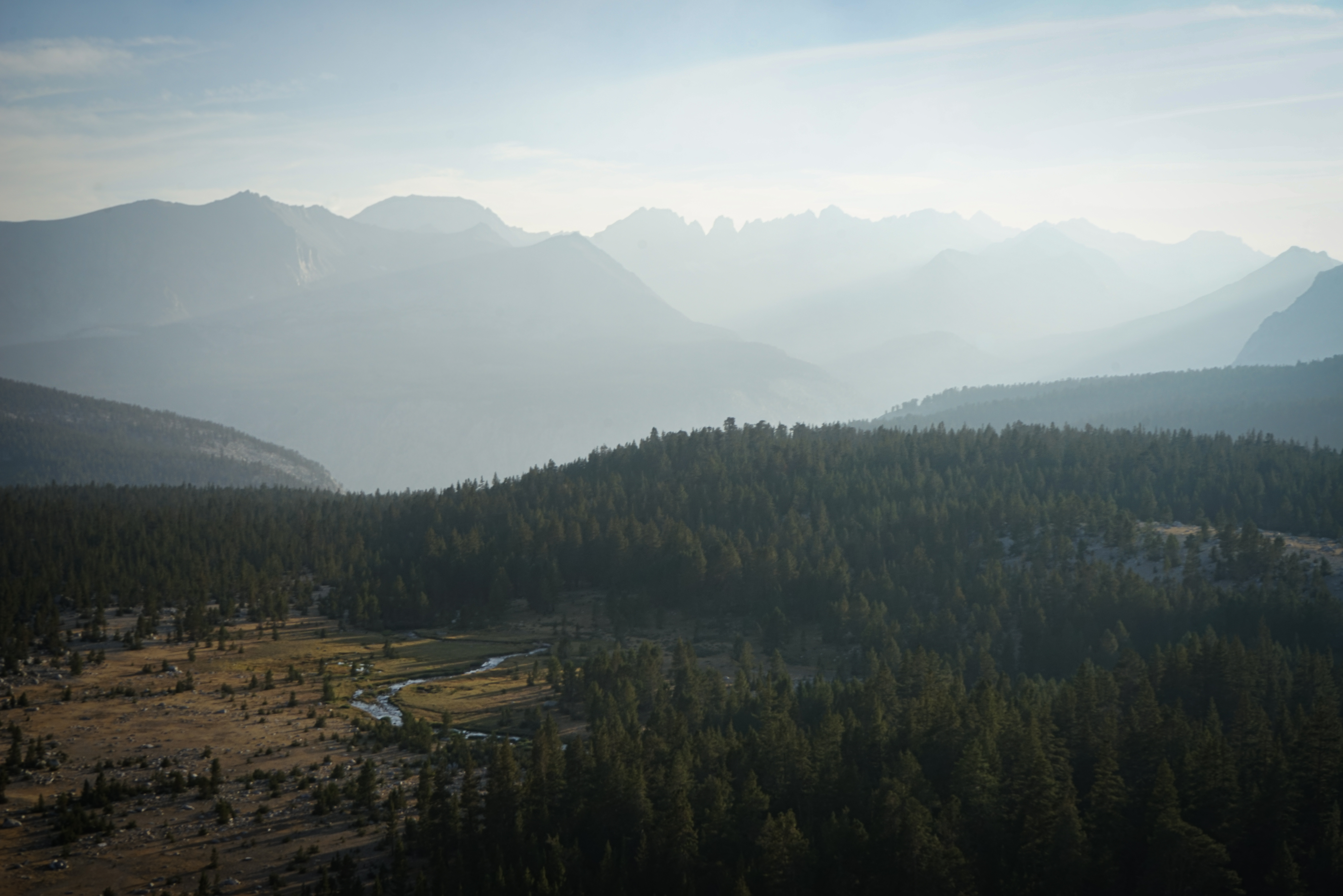
Views of the impressive north face of Junction Peak. We crested Forester Pass to the applause of a large group of hikers who were waiting for the rest of their party. We took a lunch break, enjoyed the views, and surveyed what lay ahead.

Smoke from the Castle Fire (later renamed the SQF Complex) diffused up the Kern River towards us. But it wasn’t terrible at Forester.

A slightly-too-friendly marmot atop Forester Pass.

The south side of Forester Pass. This was the last section of the JMT to be built, in the 30s.

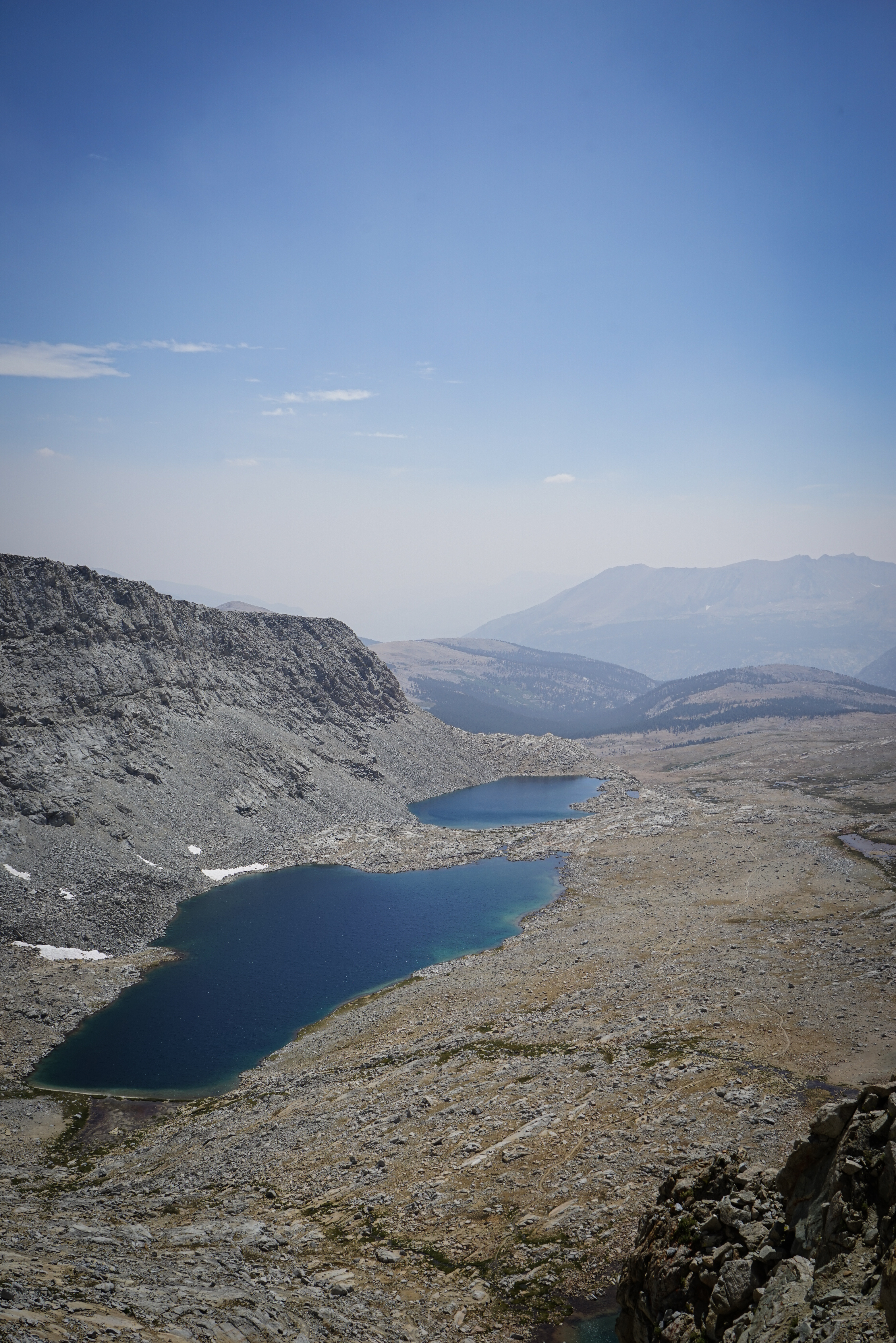
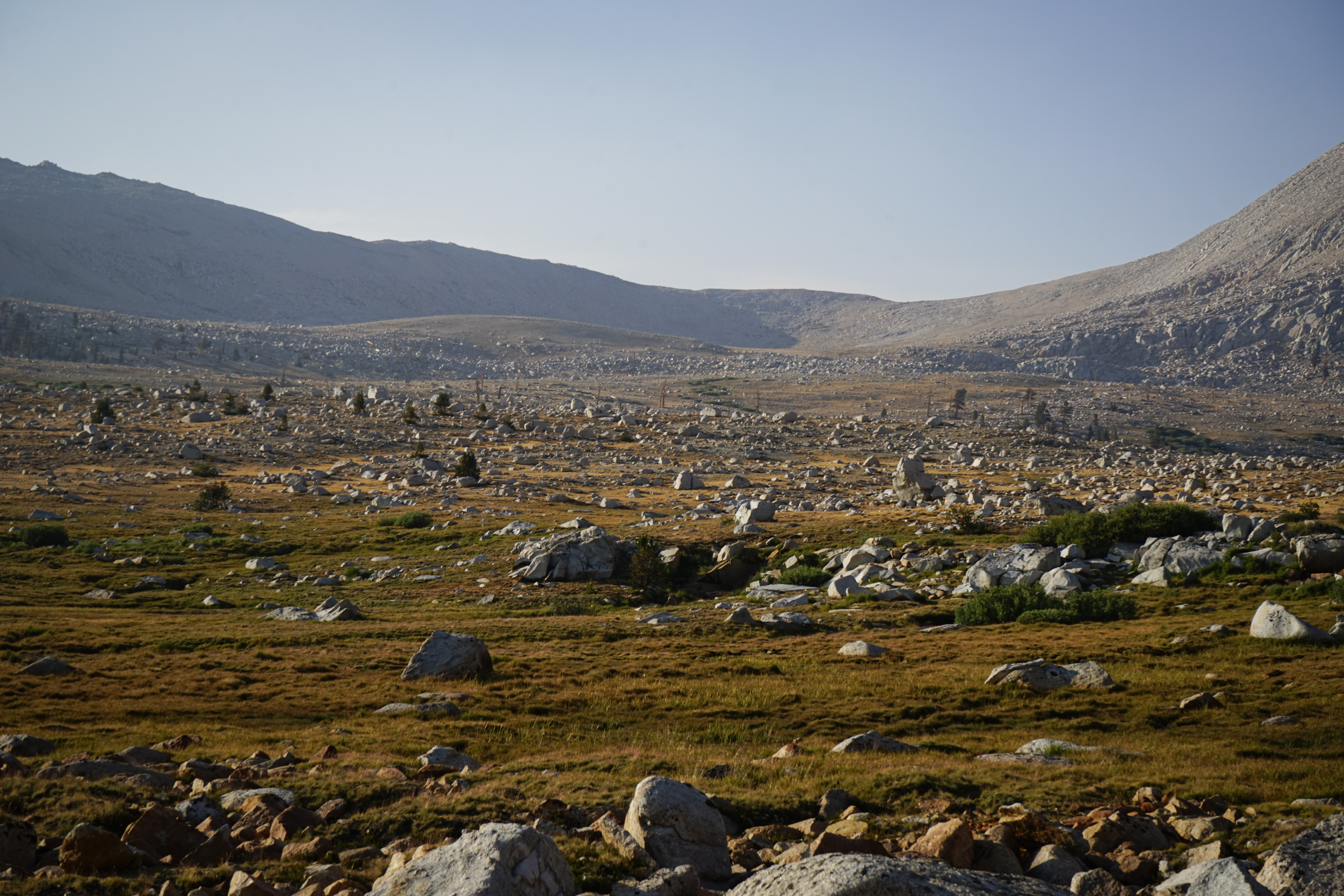
Looking out over the upper reaches of Tyndall Creek.
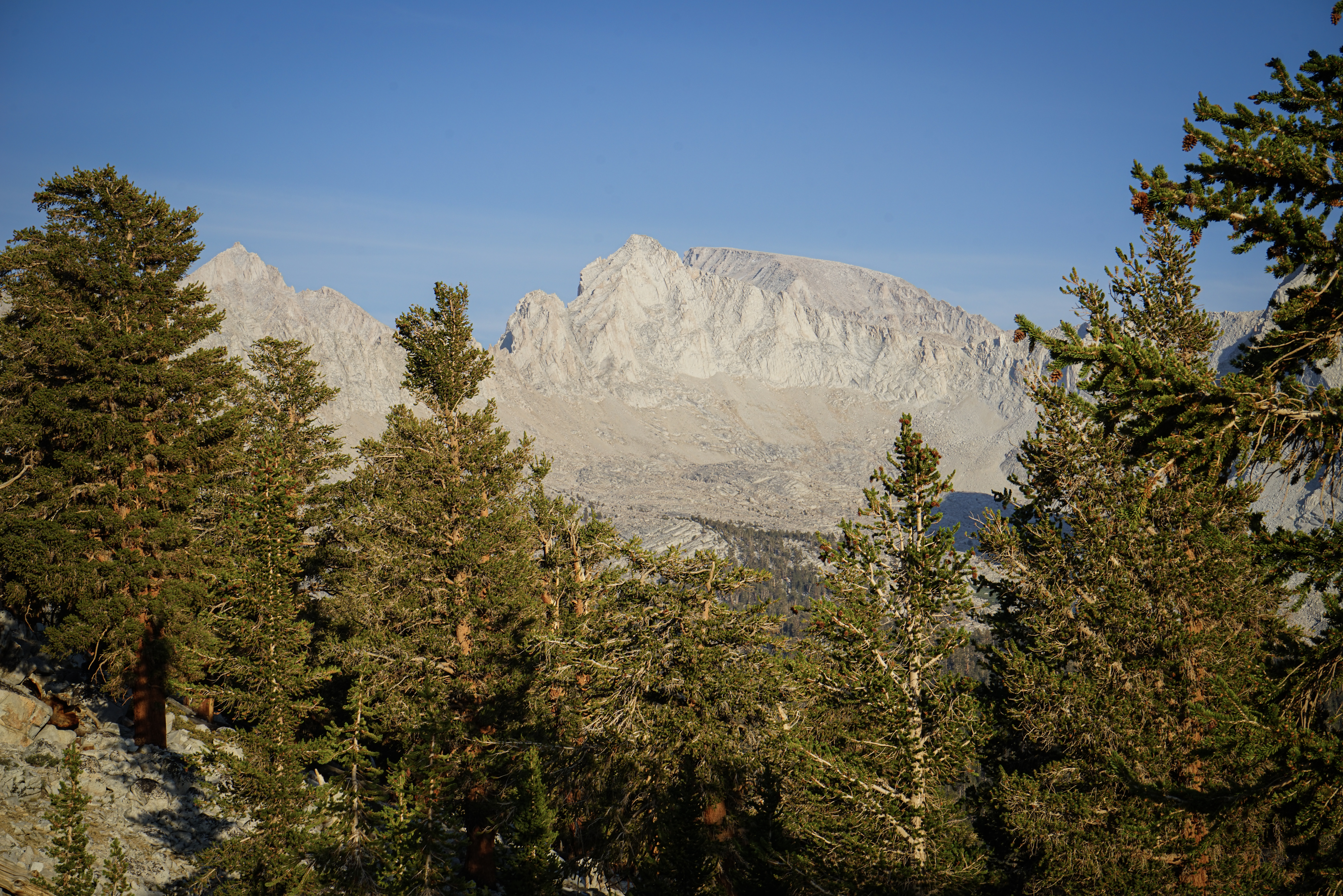
The so-named Wrights Lake Pass, with Mount Whitney behind.

A wider shot with Mount Tyndall and Williamson as well.

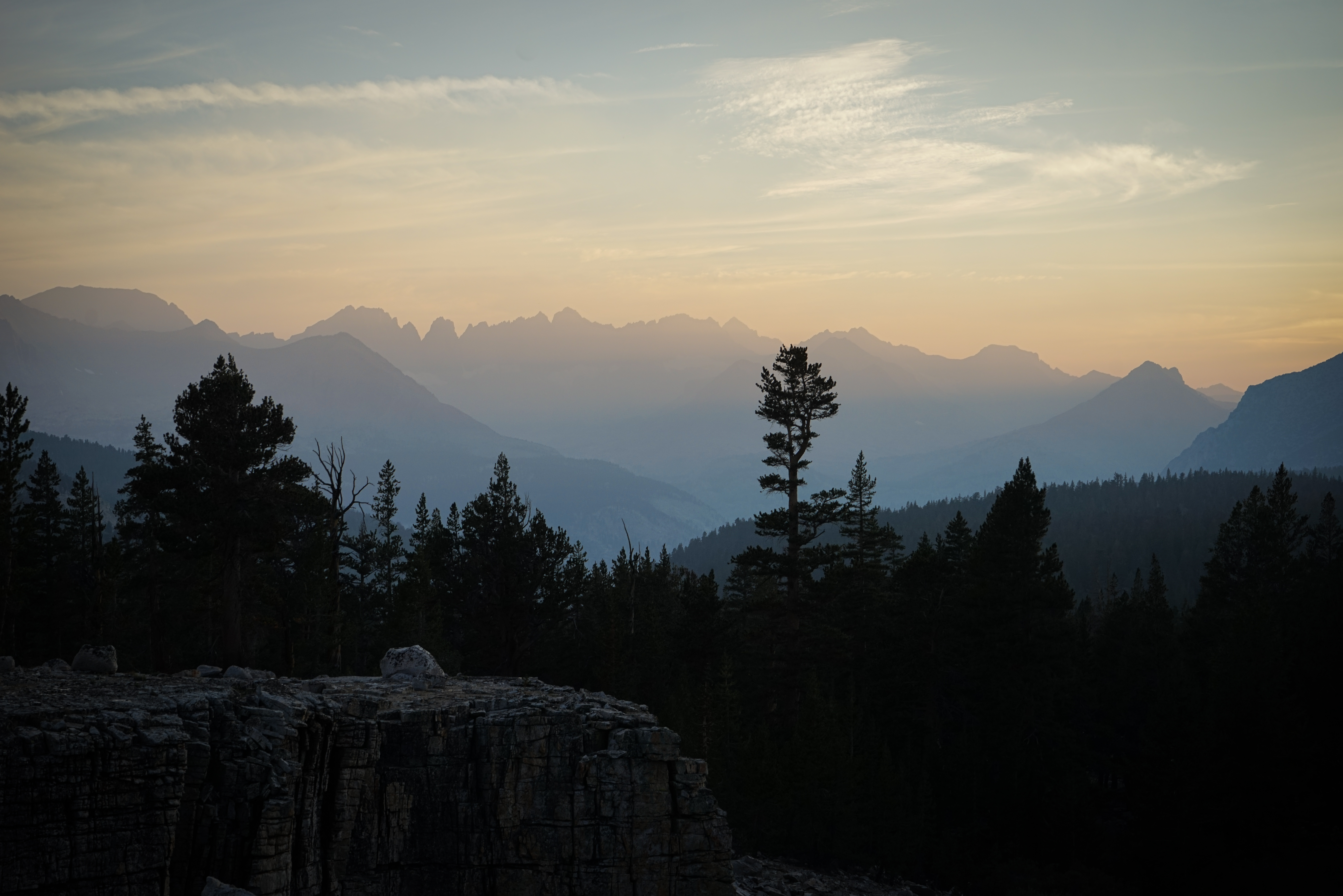
Smoky views of the Great Western Divide.

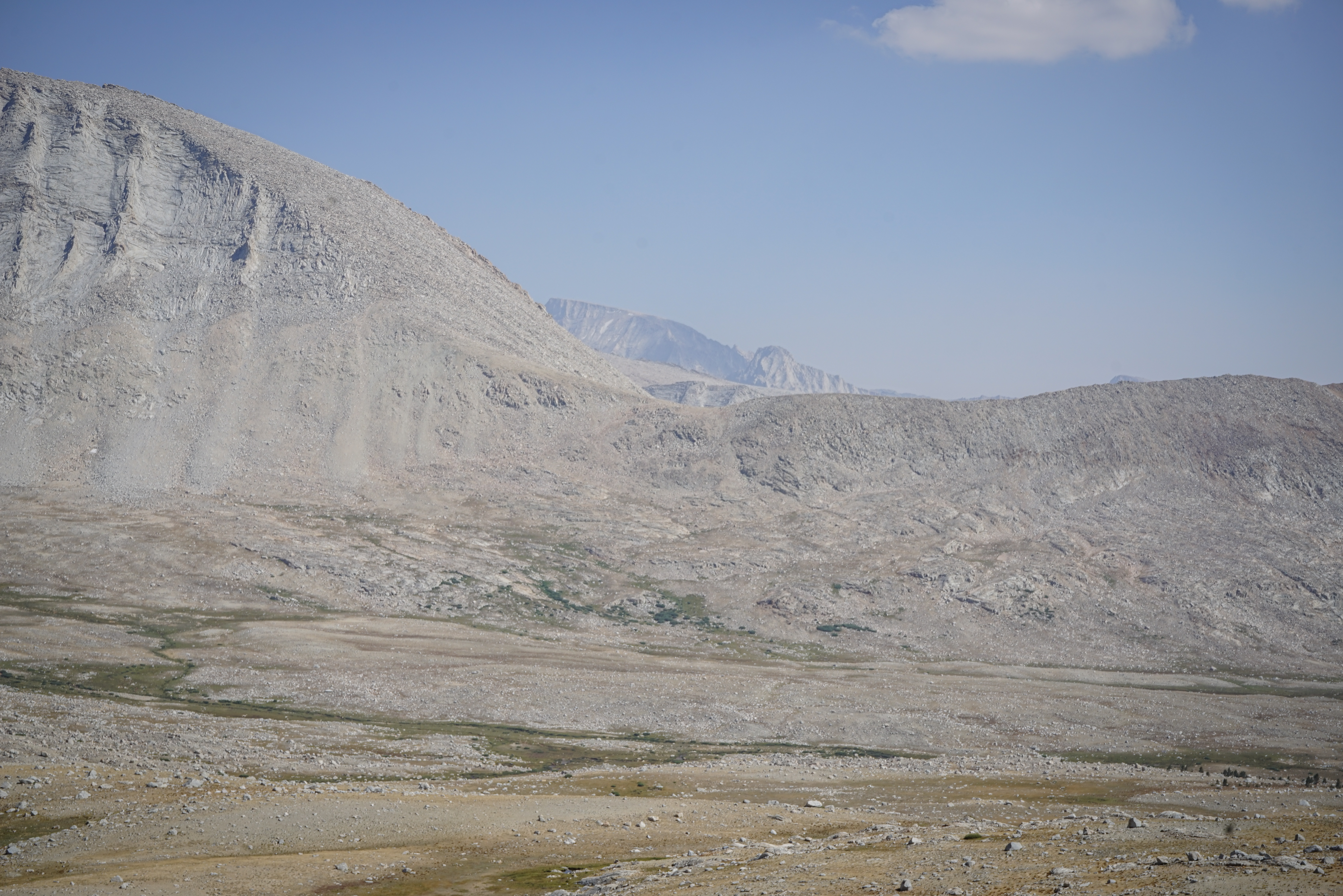
The view of Diamond Mesa and Junction Peak from Wrights Lake Pass. We found the routefinding to the pass quite easy.

The view south of the Wrights Lake Basin.
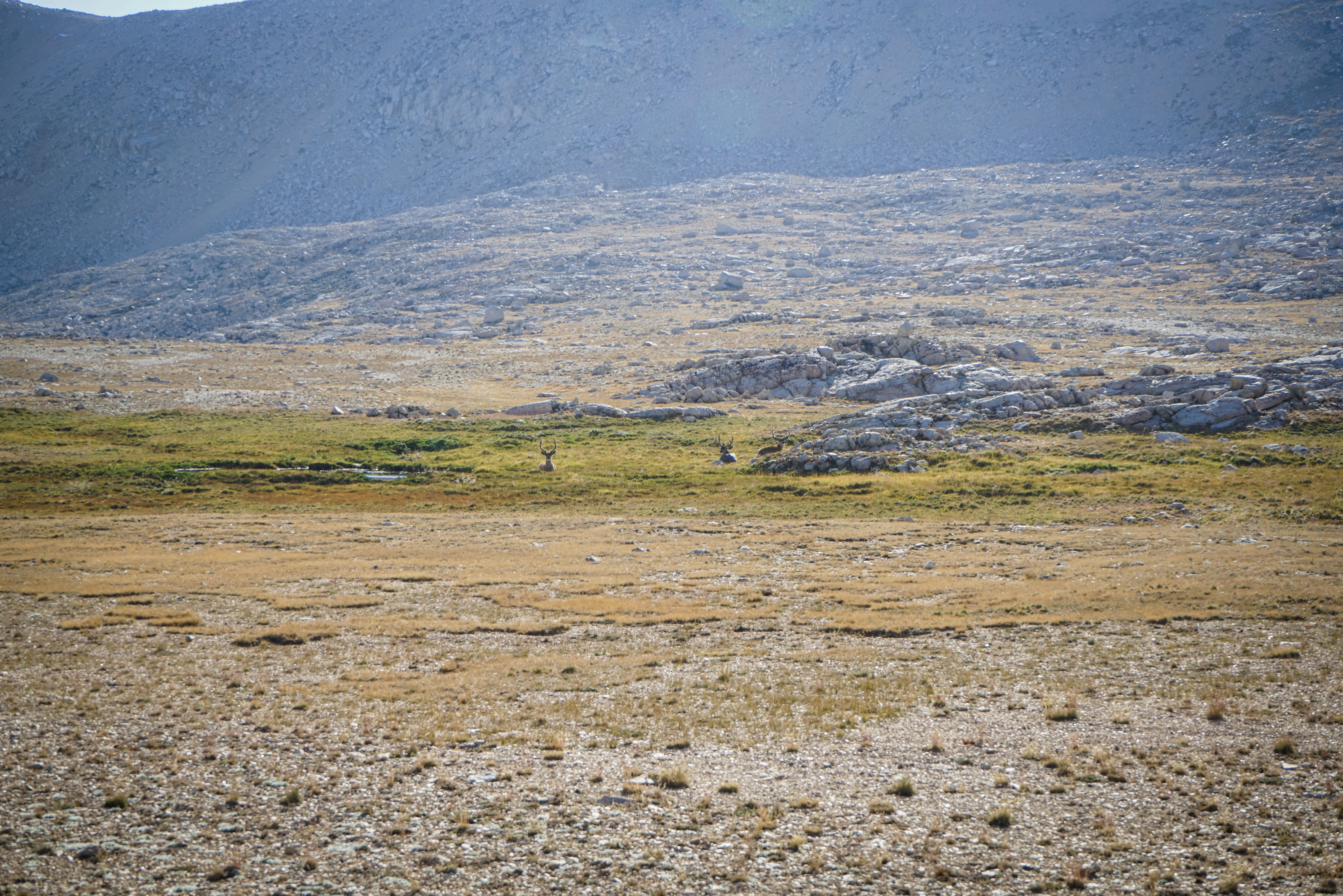

We came across some deer on our way through the basin.
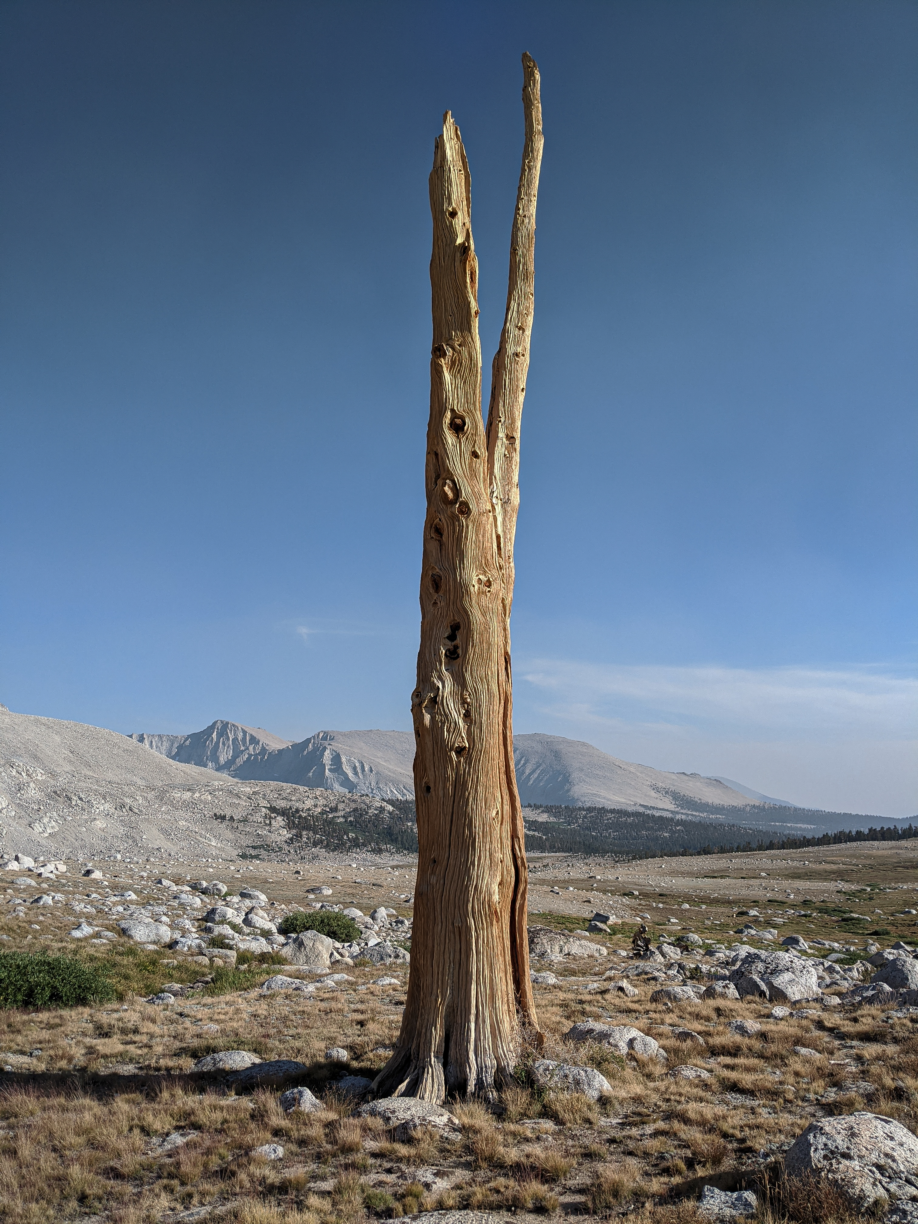
And the remains of several old, dead Foxtails.

There were still some hearty living Foxtails as well.

Shannon strolling through the Wrights Lake Basin. The forested ridgeline ahead is the vaguely tricky hump we’d have to cross to get to Wallace Creek.

Looking north towards Wrights Lake Pass.

And west to the Kaweahs.
The Kaweahs from higher up trying to get across the ridge to Wallace Creek.

More Foxtails. These trees only grow in a few small areas in California, only one of which is in the Sierra Nevada.
Mount Whitney and Mount Hale (I believe) as we wandered through the forest trying to connect Wrights and Wallace Creeks.

We definitely did not choose the best line. In retrospect, it looks like the easiest route would be to drop to the large, flat area at about 3300m almost at the JMT, and then head back up.
It took us a while to find the old trail up Wallace Creek, but we did. Following the main branch of the creek helped. While we had hoped to make it to Wallace Lake tonight, we didn’t have any more daylight, so we camped near a cool little canyon along Wallace Creek with fantastic views of the Kaweahs.

Some high clouds made for an awesome sunset.
The cross country section of this days hike had been awesome. The hiking was relatively easy and the scenery was really impressive. It was hard to believe we were less than a mile from the JMT the entire time, given that we didn’t see even a sign of anyone. I’m a big fan of this area of the Sierra and it was really fun to explore a different route through it.
We planned to hike to Iceberg Lake the next day, with a side trip up Mount Russell if time and conditions (and our nerves!) permitted.