
Did I mention the awesome views of the Kaweahs from our campsite? We found, and followed the old trail up Wallace Creek without too much difficulty. It did come and go and places, though.

A lovely meadow just a bit below Wallace Lake.

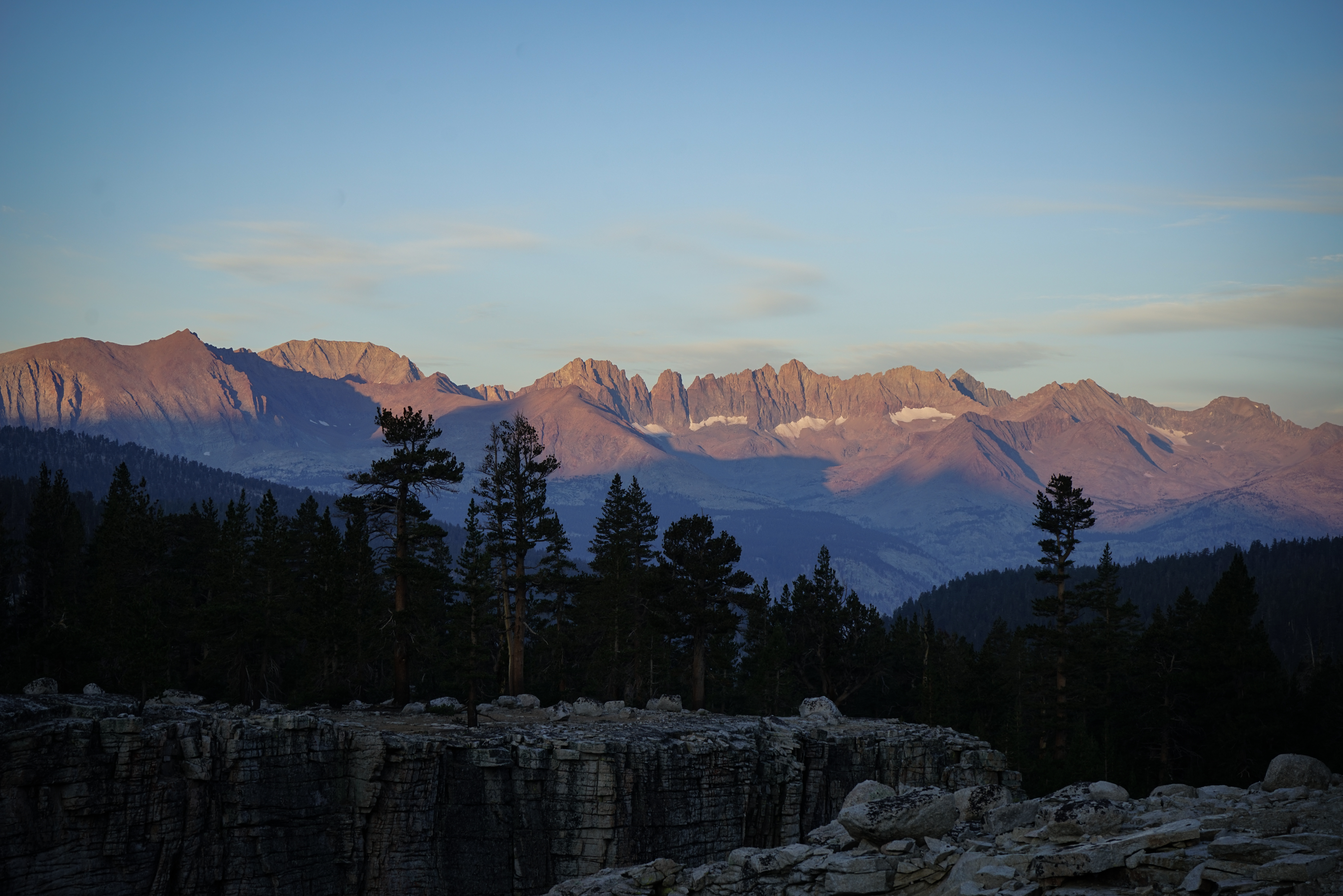
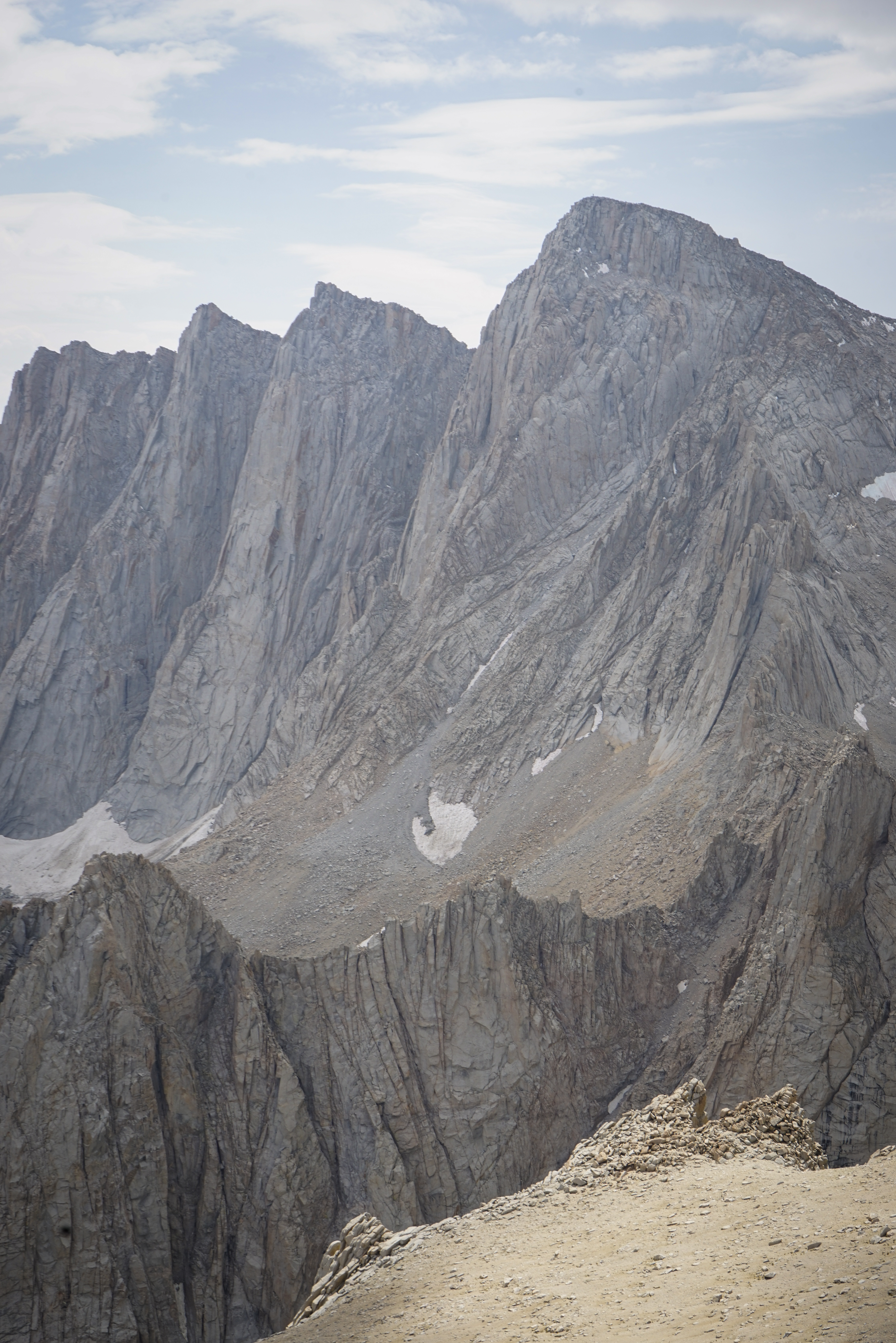
Looking back at the Kaweahs from near Wallace Lake.

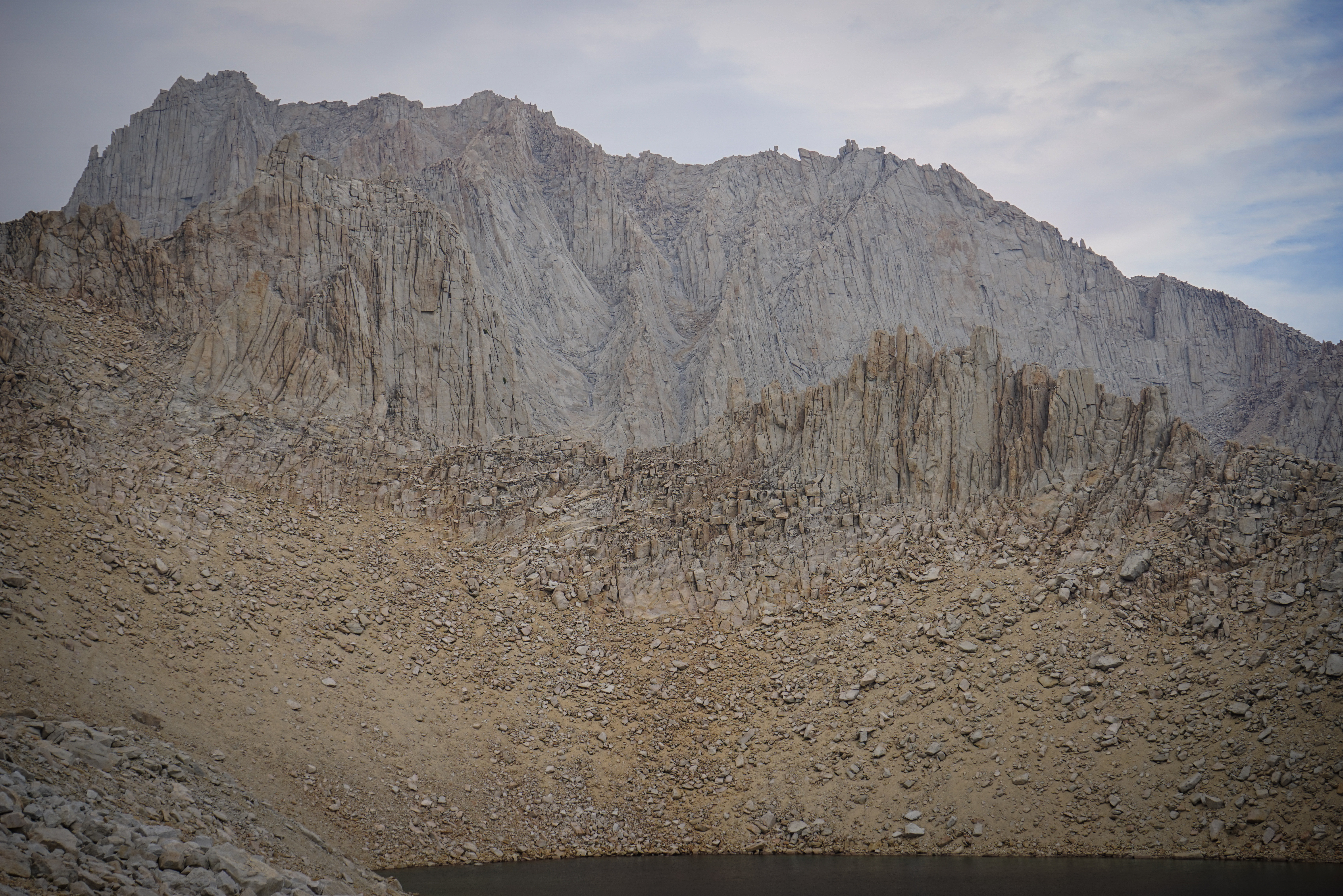
Here’s the view of the headwall above Wallace Lake. We ascended more or less directly up the middle, as described in the guide.


The views all around Wallace Lake were awesome.
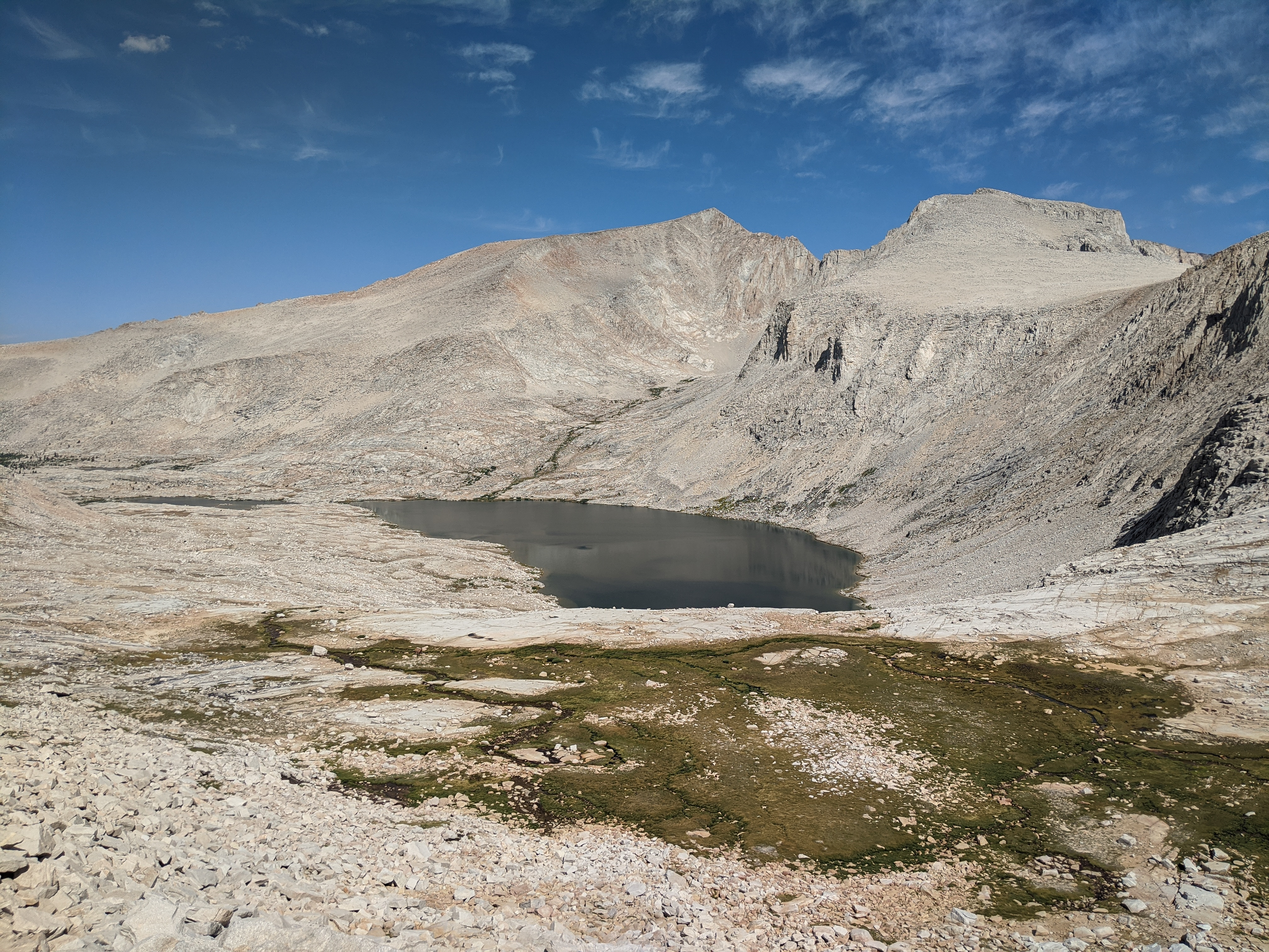
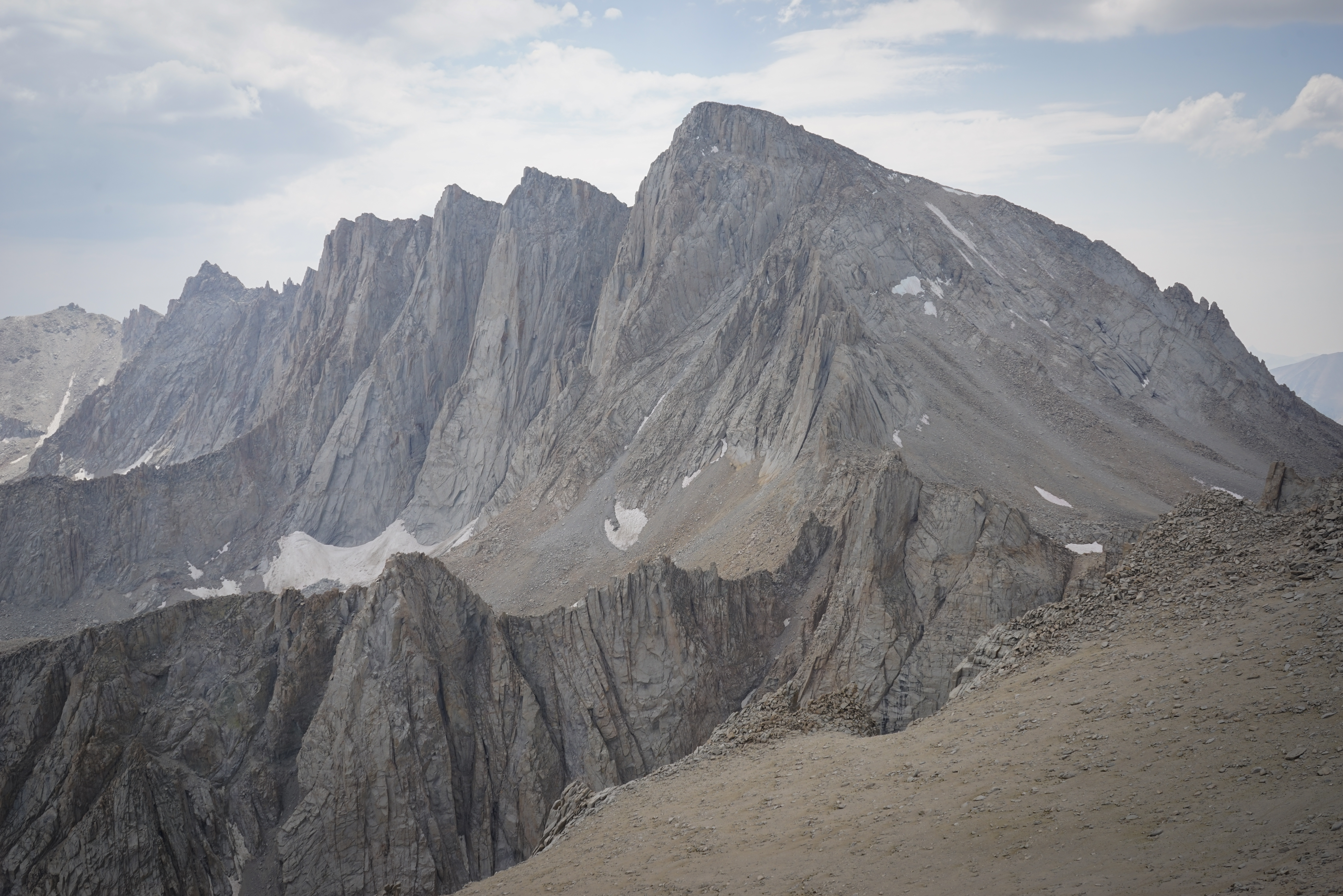
Wallace Lake and Mount Barnard. At 13,996’, Mount Barnard is the twelfth highest peak in California, and the highest peak under 14,000’. Were it 4 feet higher, it would likely be climbed at least ten times as often.
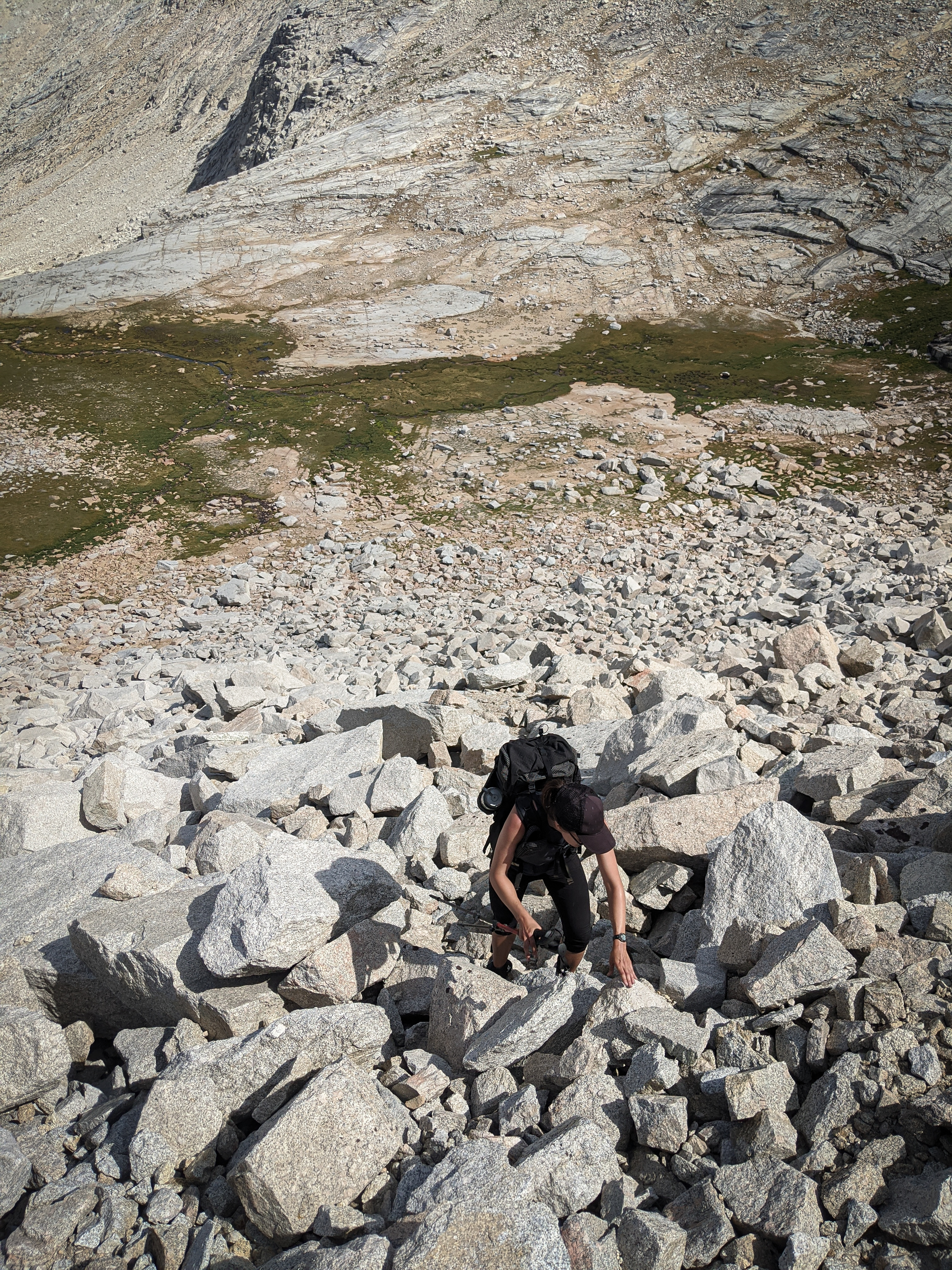
Shannon scrambling up the headwall. We found a few class 3 sections, but didn’t try to avoid them. The talus was large and a bit loose in places, but not bad.

Above the headwall we found a beautiful high drainage with some easy walking and great views of the north side of Mount Russell. This photo has the (probably rarely climbed) North Arete.

Mount Carillon above Tulainyo Lake. While this would have been a great spot for a dip, but the air temperature was pretty cold.
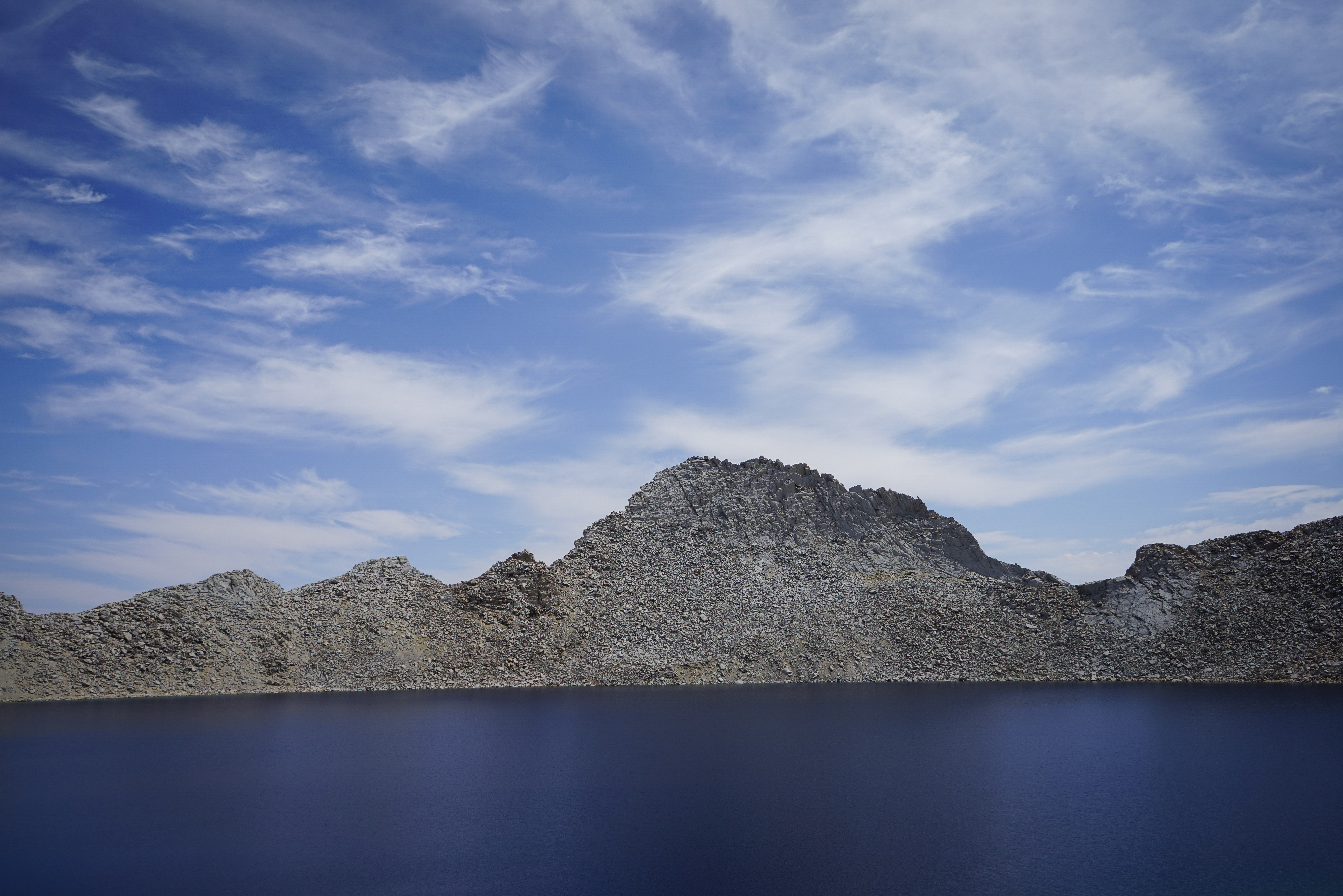
The Cleaver above Tulainyo Lake.
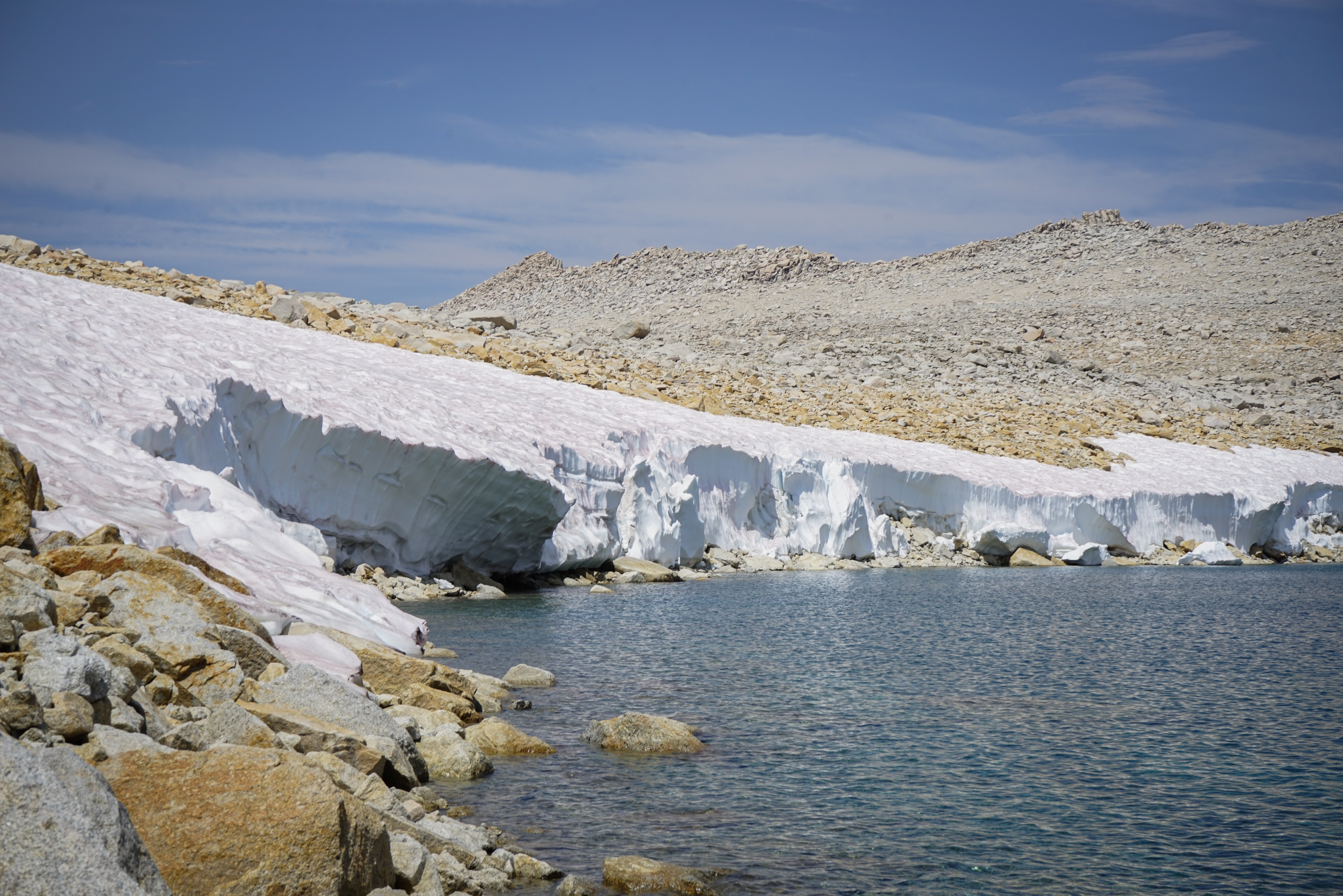
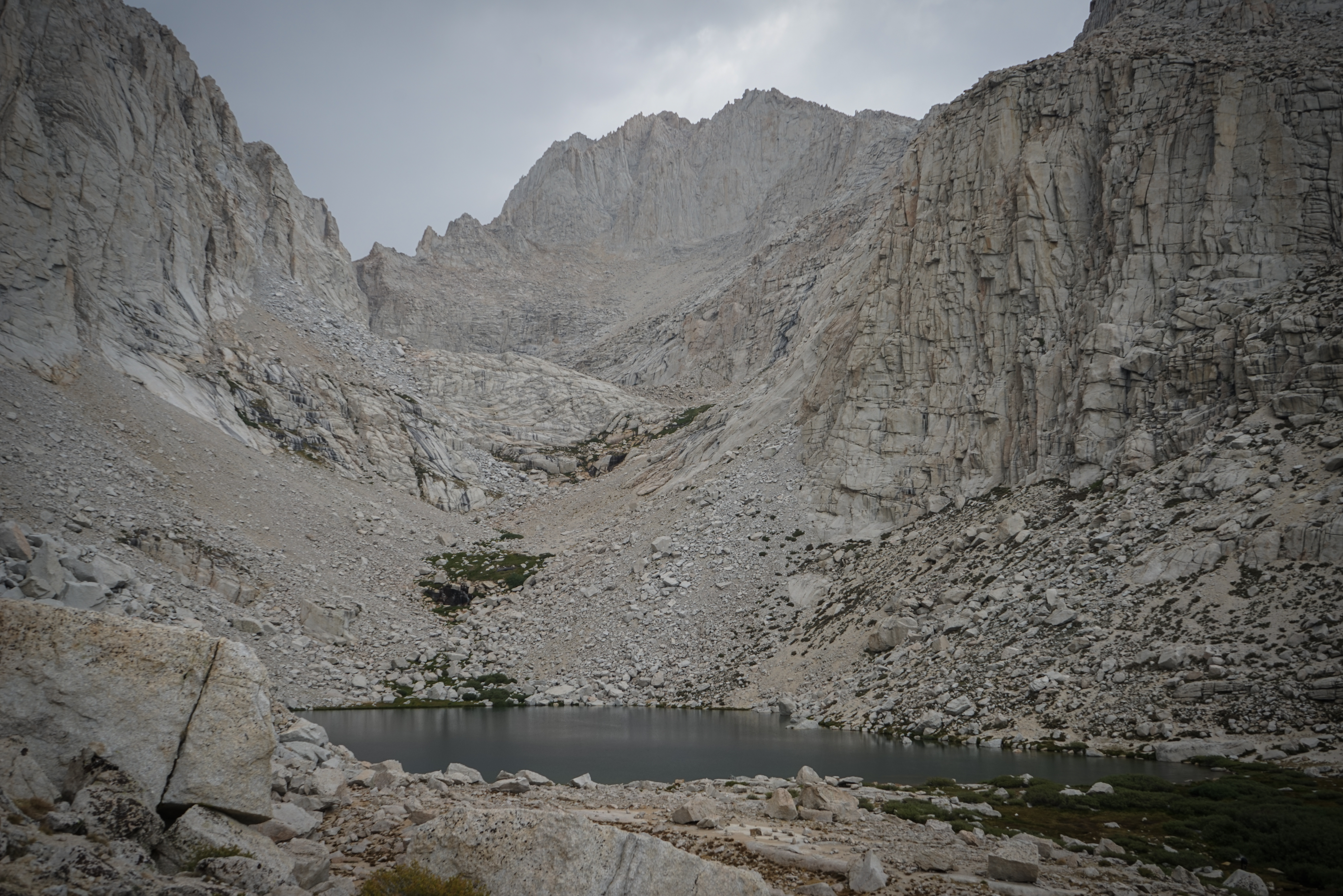
Large snow banks (about 10 feet) on the shore of Tulainyo Lake.
Looking up at Russell-Carillon Col from Tulainyo Lake. Dixon is right, it’s not as bad as it looks.

Shannon climbing Russell-Carillon Col.
The northeast face of Mount Russell just to our right.
Tulainyo Lake, with Mount Williamson in the background.
From Russell-Carillon Pass we were treated to our first view of the east face of Mount Whitney. We could quite clearly hear people talking on the summit.
We sat on the col and debated a climb of Mount Russell’s East Ridge. Unfortunately, it was getting later in the day and some clouds had begun to move in. Also, we were quite intimidated by the route from below. It looked quite steep and exposed.
Fortunately, there’s another, much easier, SPS-listed, 13,500’+ peak just east of Russell-Carillon Col, Mount Carillon. We figured we could try this much less committing peak.


Mount Russell from Mount Carillon. The East Ridge route is the prominent ridge at left.
Mount Whitney from Mount Carillon. We took advantage of the cell phone service on the summit to check the weather forecast and the status of the fires, finding nothing too threatening.

Another shot of Mount Russell.
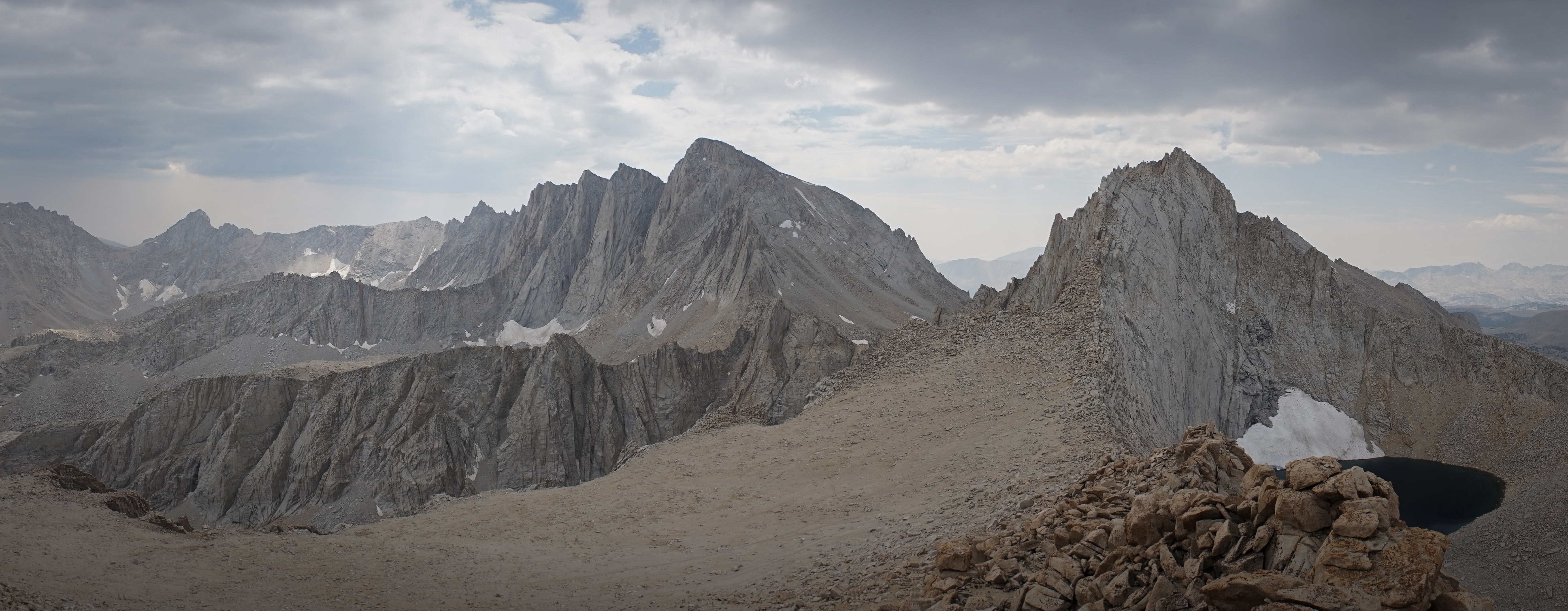
This cool panorama captures most of the Whitney Zone, at left is Mount McAdie and Arc Pass, which leads south to the Miter Basin. This pass could be used as a shortcut to skip Mount Whitney, Discovery Pass, and Crabtree Pass if needed.

I know this is a lot of photos of Russell, but I found the perspective from Rusell-Carillon Col quite cool.
The climb up and down Mount Carillon took less than an hour and was definitely worth the short diversion.

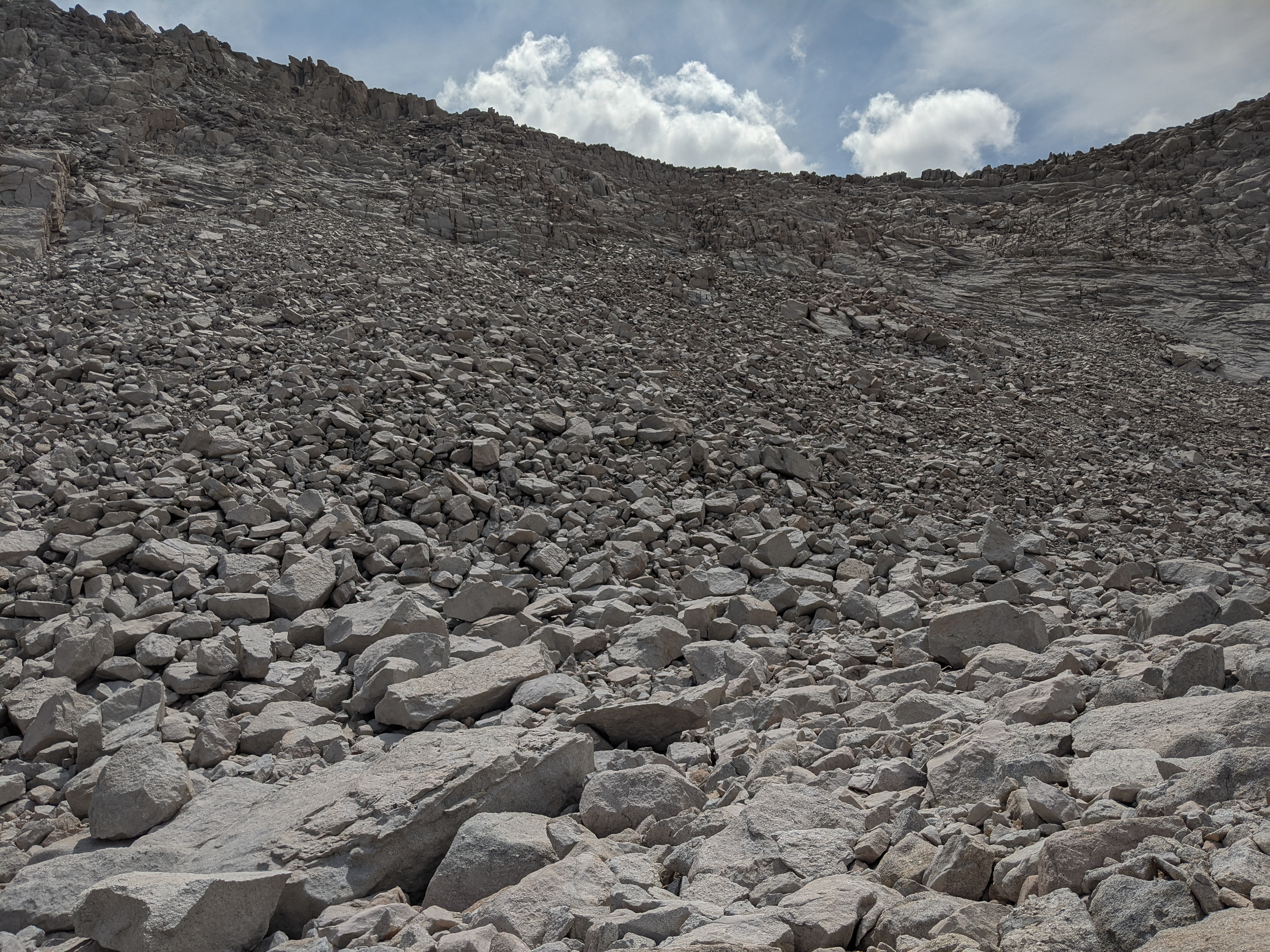
After a short section of nice walking, the route drops 1,000’ down this sand slope. Despite extensive signs of use, it was slow going and not something I would be too excited to ascend.
We reached Upper Boy Scout Lake and stopped for a snack just as it started to spit rain. The five or so tents were the first people we had seen since just south of Forester Pass.

The route up to Iceberg Lake was quite easy to follow, though it’s more of a network of trails than a single, well-defined path. As we approached Iceberg Lake, the east face of Mount Whitney and its pinnacles grew more and more imposing. We passed another ten or so people heading up and down.
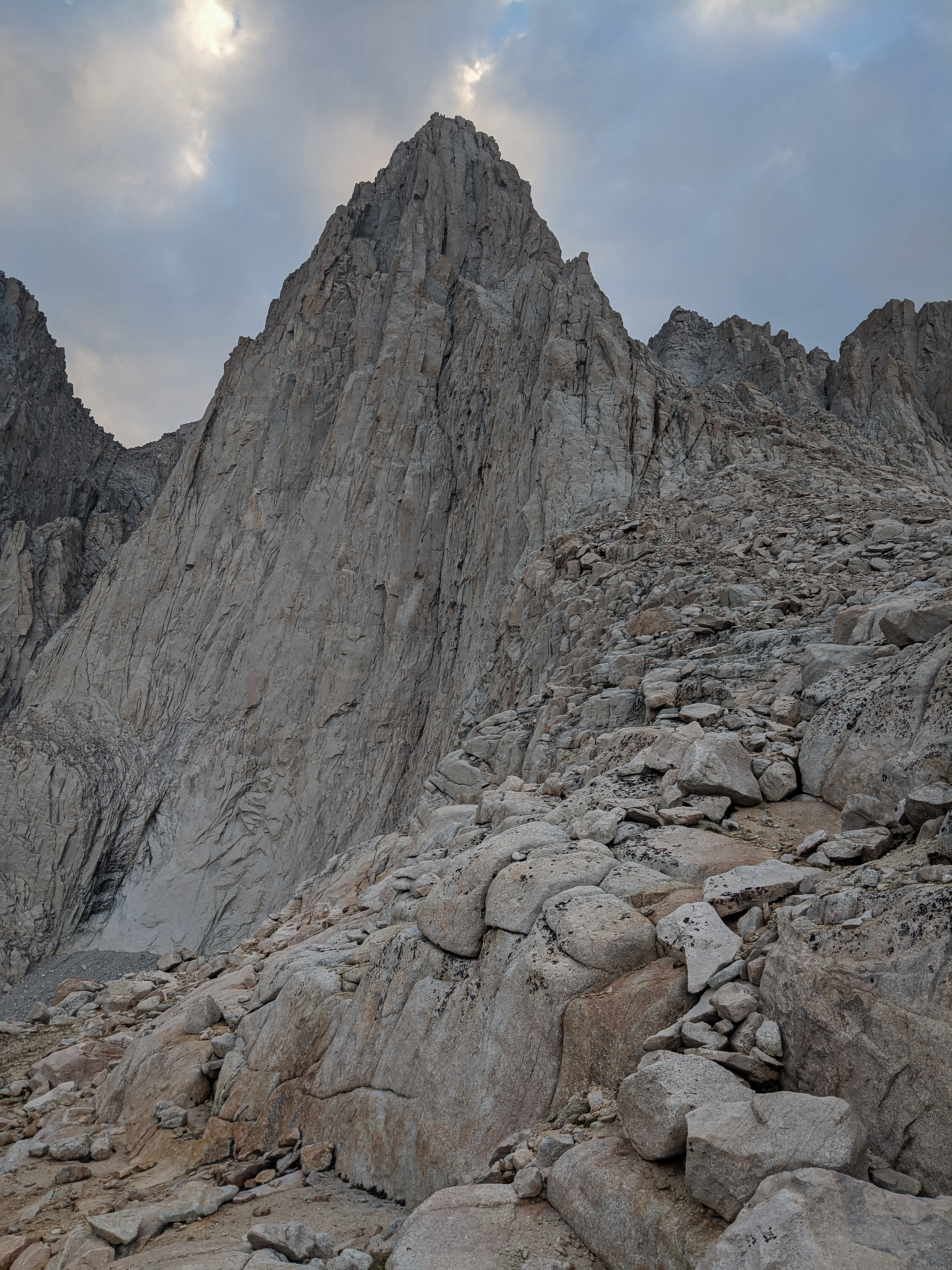
Mount Russell (again, but this time from the south) above Iceberg Lake.
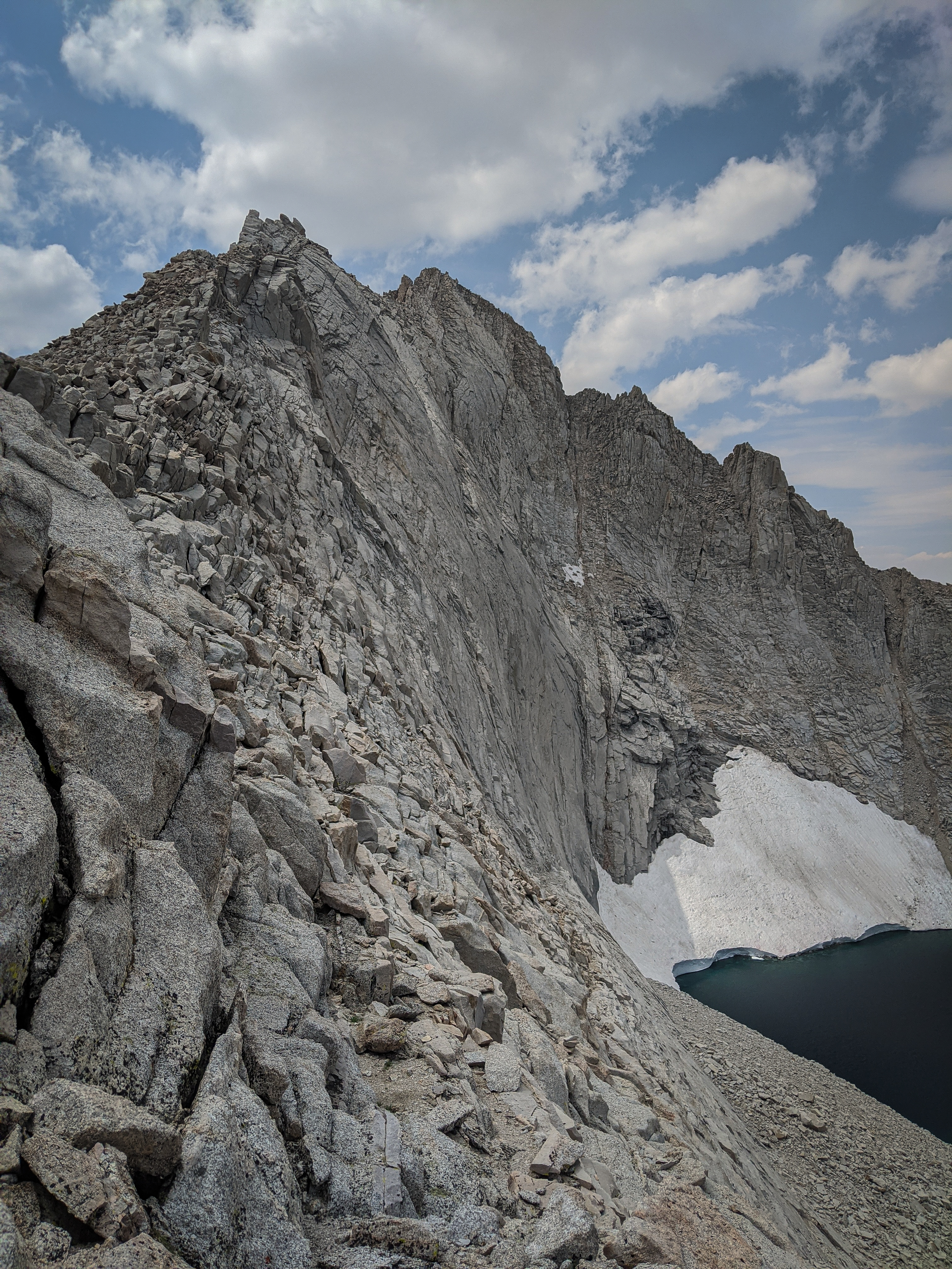
We briefly lost the trail when it hit the headwall just below Iceberg Lake, but it was easy enough to figure out which way to go (up!) that we didn’t worry about it. We reached Iceberg Lake in the late afternoon and searched for a quiet, flat spot. There were at least a dozen other tents set up in all of the little rockwall-protected alcoves close to the lake. Despite the slightly more serious nature (at least on paper) of the Mountaineer’s Route, it felt like we were back on the John Muir Trail.
The East Face of Mount Whitney directly above our camp at Iceberg Lake. The setting here was really stunning.
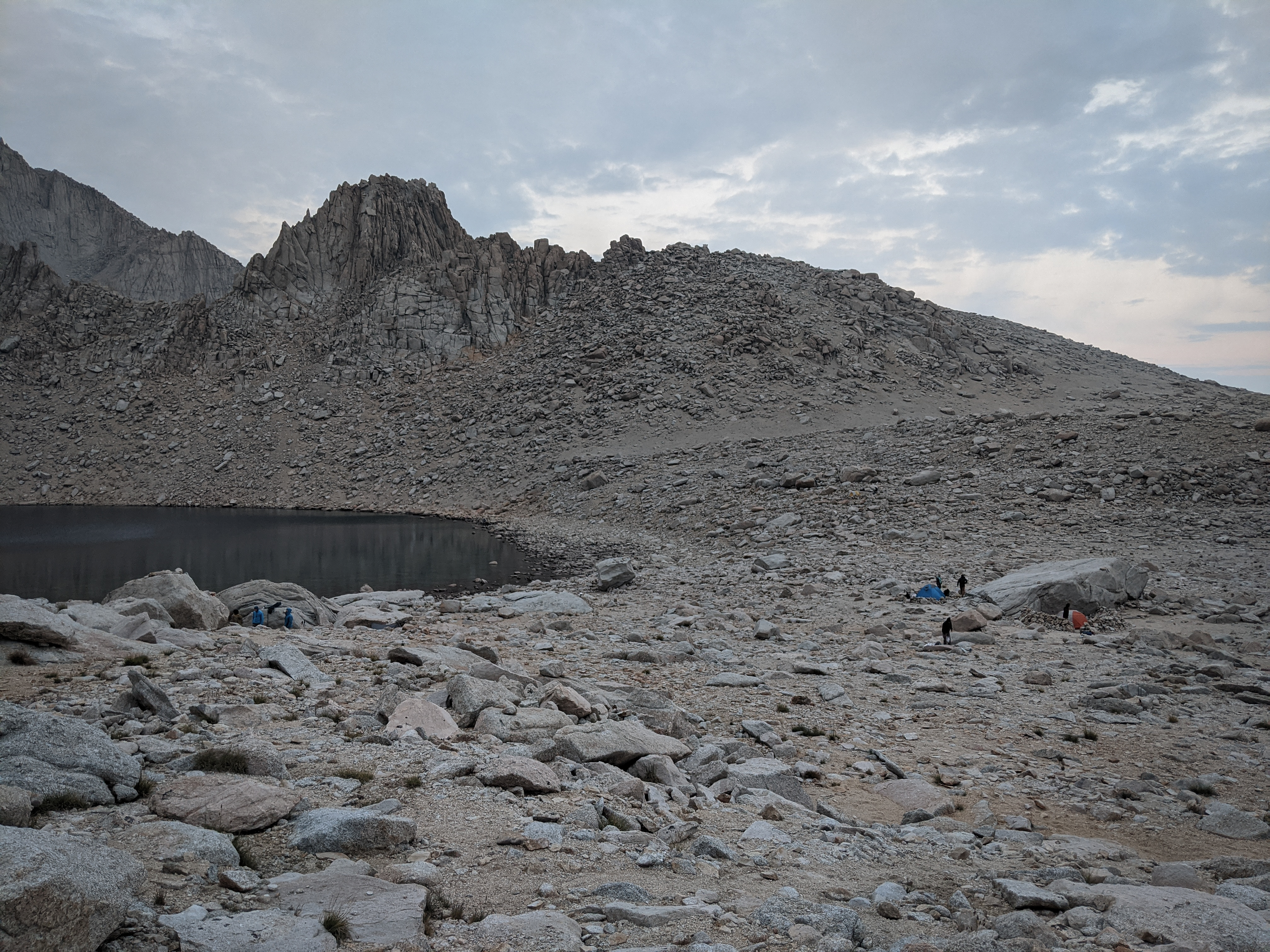
Just a few of the other groups at Iceberg Lake. About an hour before sunset, a solo hiker arrived playing some loud music on his phone and began loudly constructing a wall out of rocks. I went to visit him and asked him to use headphones if he wanted to listen to music, which did the trick.
We planned to get a relatively early start the next morning, around sunrise. We hoped to be ahead of most other groups to minimize the danger of rockfall, and to be able to get over Discovery (and ideally, Crabtree) Pass before the afternoon thunderstorms which we had come to expect from the unrelenting weather pattern.
Sometime around midnight, a group of two or three climbers descending the Mountaineer’s Route woke us (and probably several others) with loud stories of their various climbing accomplishments. It was nice to have the foam earplugs that I always make sure to pack now.
I know I shouldn’t bitch about the crowds too much because obviously we were there as well, and any California backpacker should know that Mount Whitney is one of the most heavily used areas in the state. But, we were still in a wilderness area and observed several groups violating Leave No Trace. There was an empty tent at Upper Boy Scout Lake with food sitting out in the open, dozens of wag bags stashed just off of the trail, blatant construction projects at both Upper Boy Scout and Iceberg Lake, and a few groups making little effort to be quiet after dark. I guess my complaining is just to: encourage everyone to practice Leave No Trace, caution you to avoid camping in this area if you think this will bother you, and remind you that foam earplugs are well worth the small price and weight penalty.