Ready to climb Mount Whitney! We were up at 5-something and headed out just before the sun rose over the White Mountains. We succeeded in beating all but one party out of camp, and they were roping up for the East Buttress, so there was no one above us as we climbed.
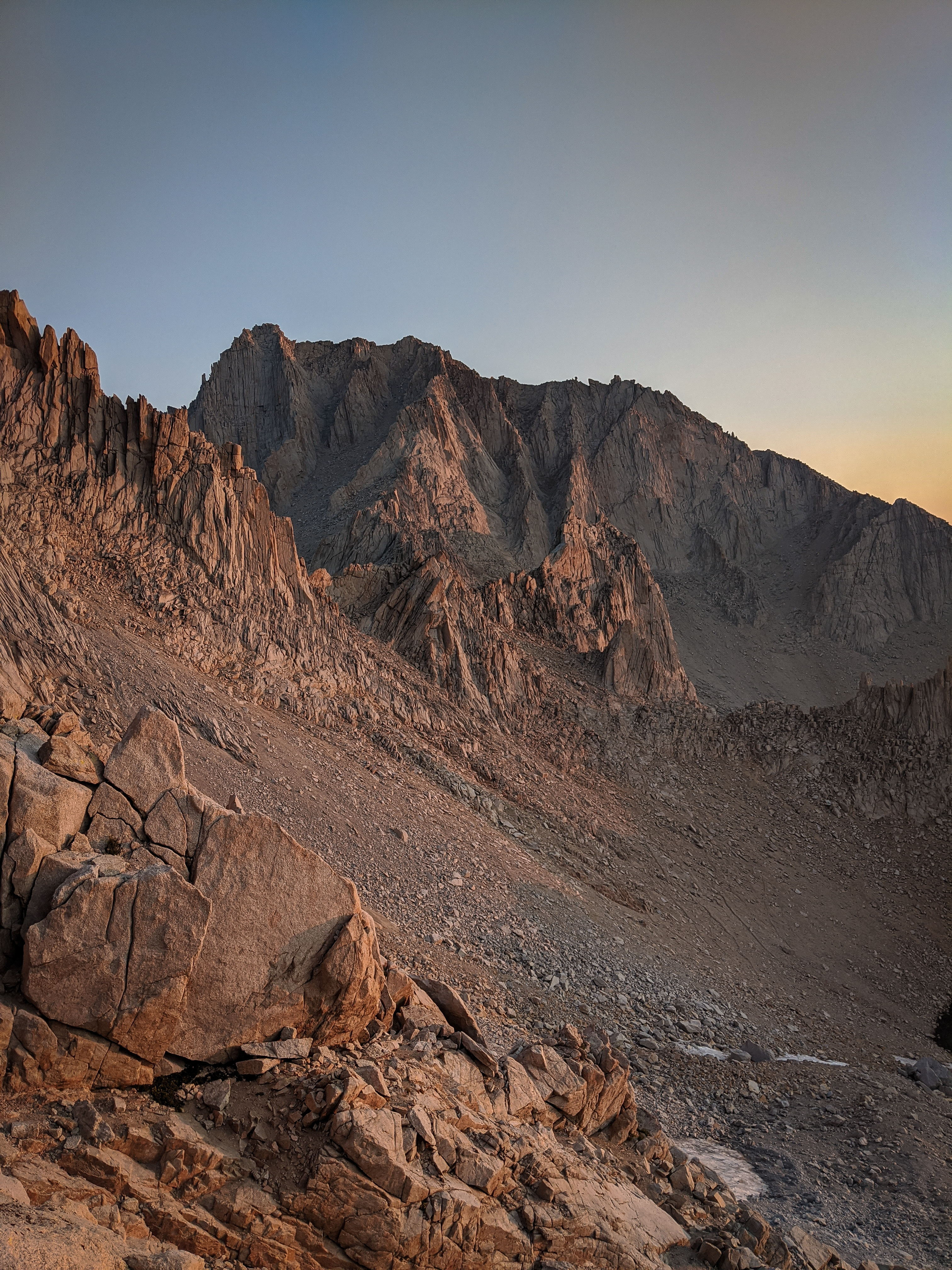

We had an awesome vantage point as the sun rose.
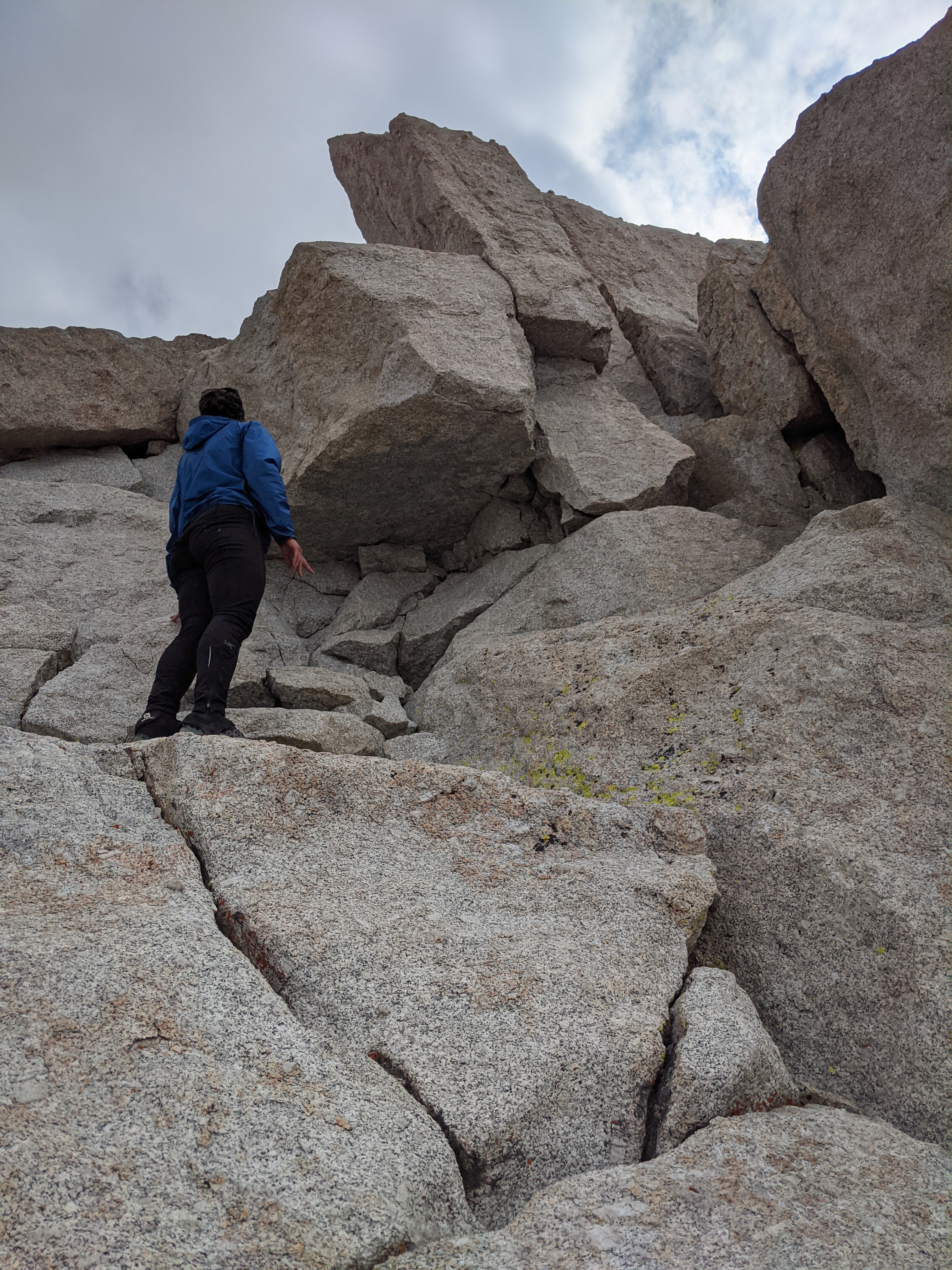
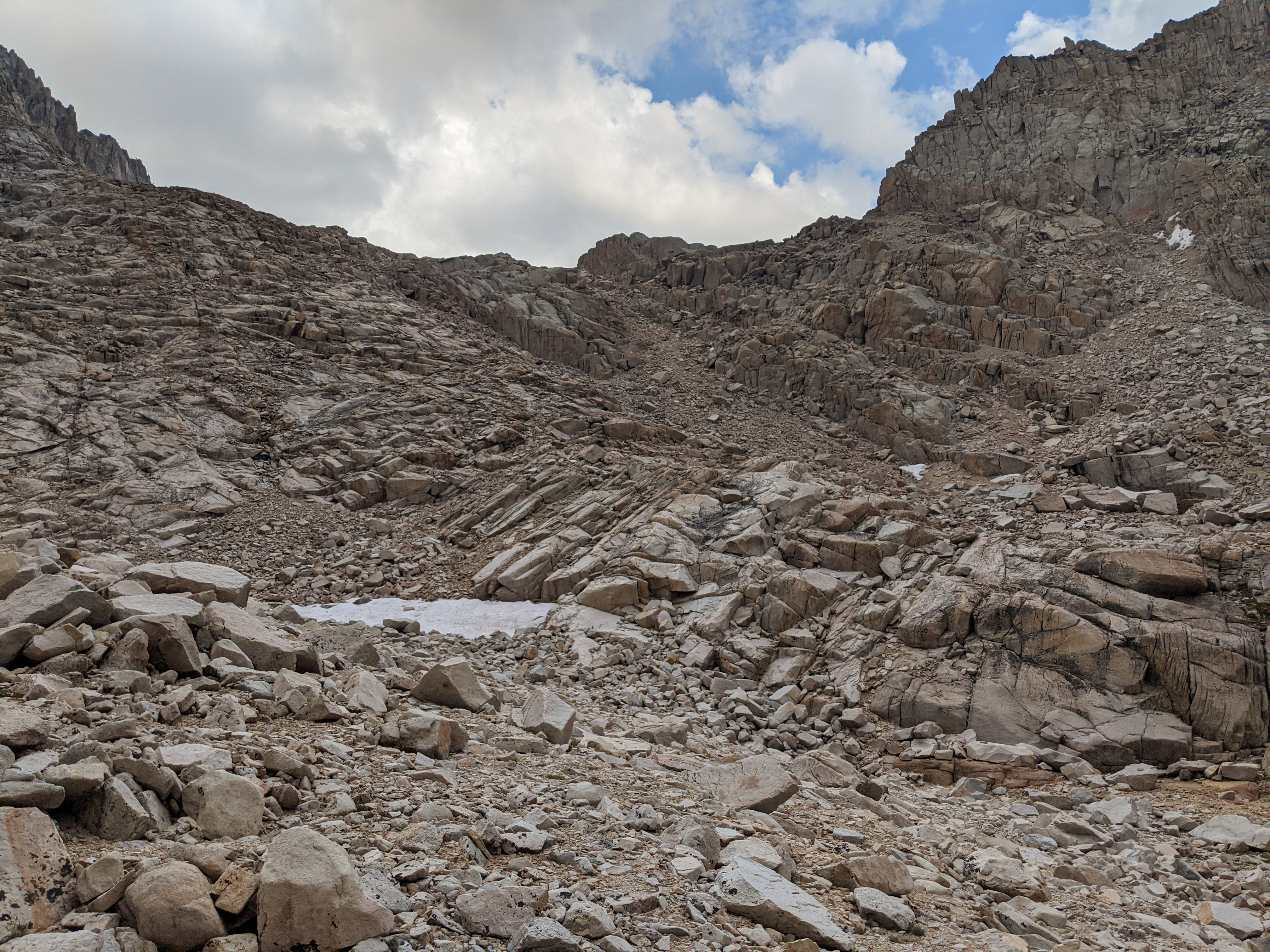
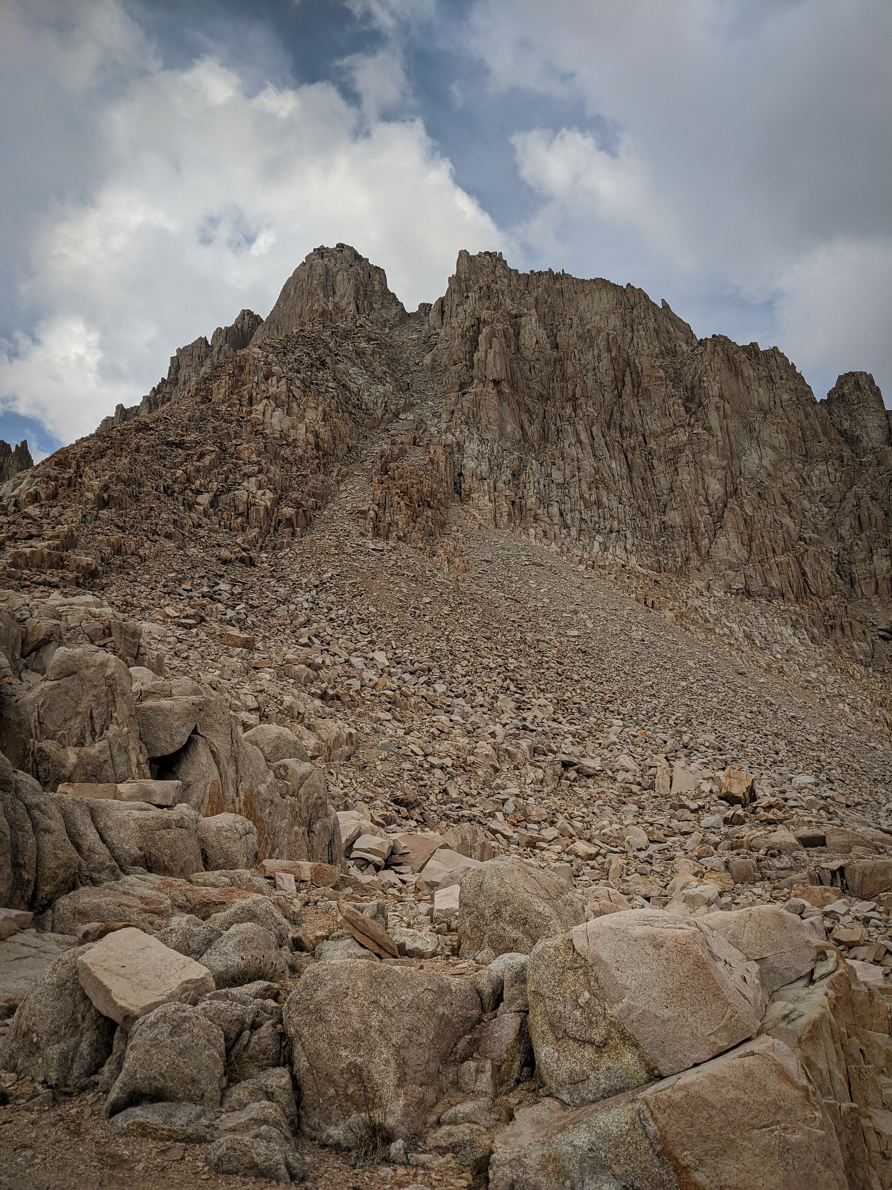
Shannon climbing easy class 3 in the chute.
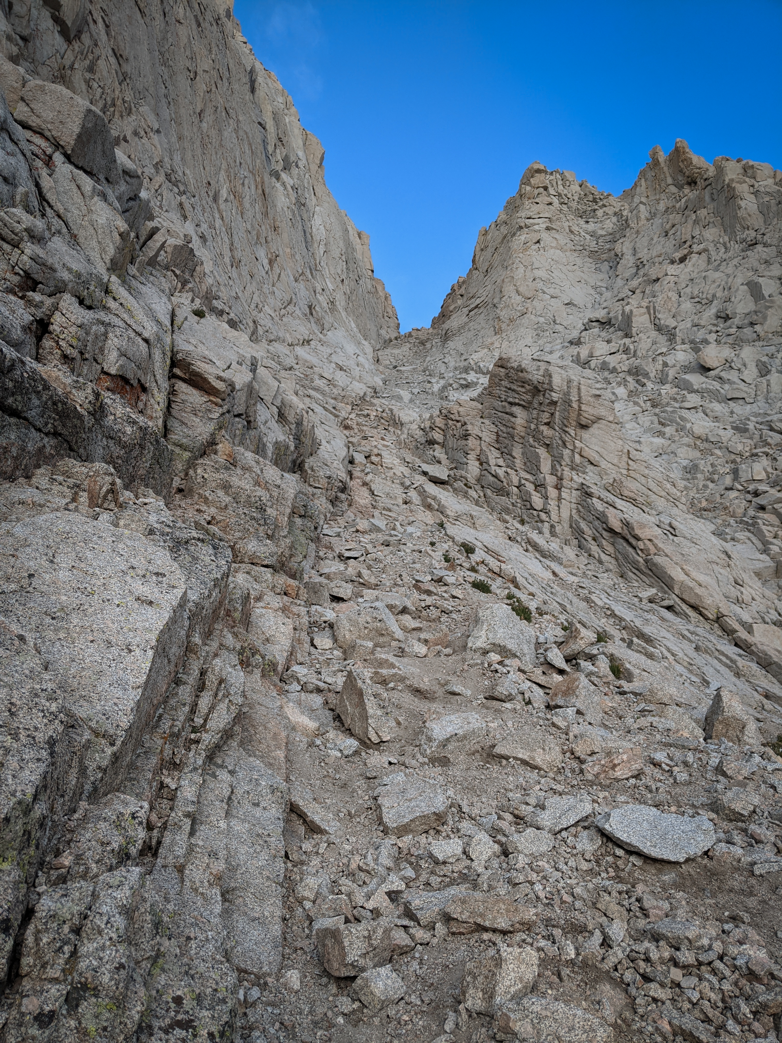
The view directly up the chute.
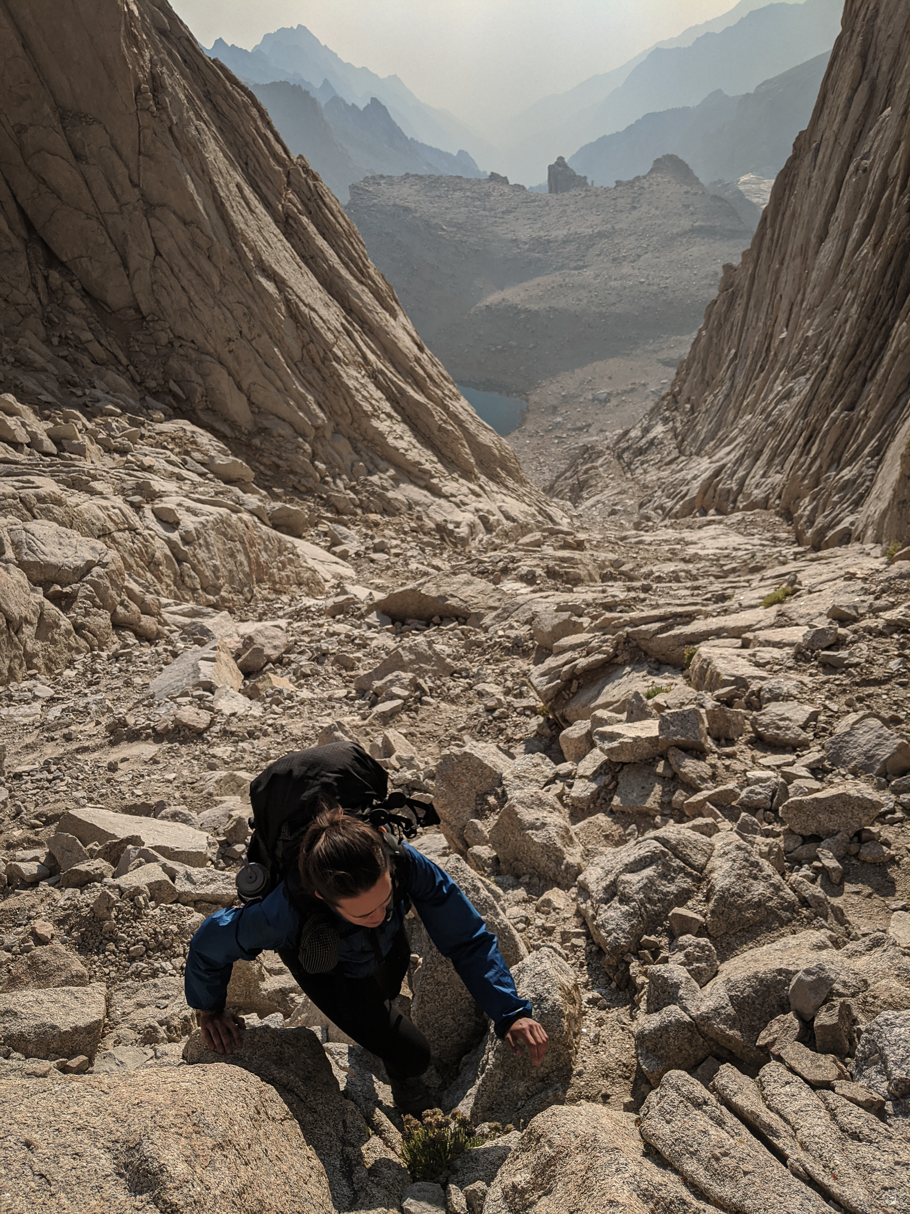
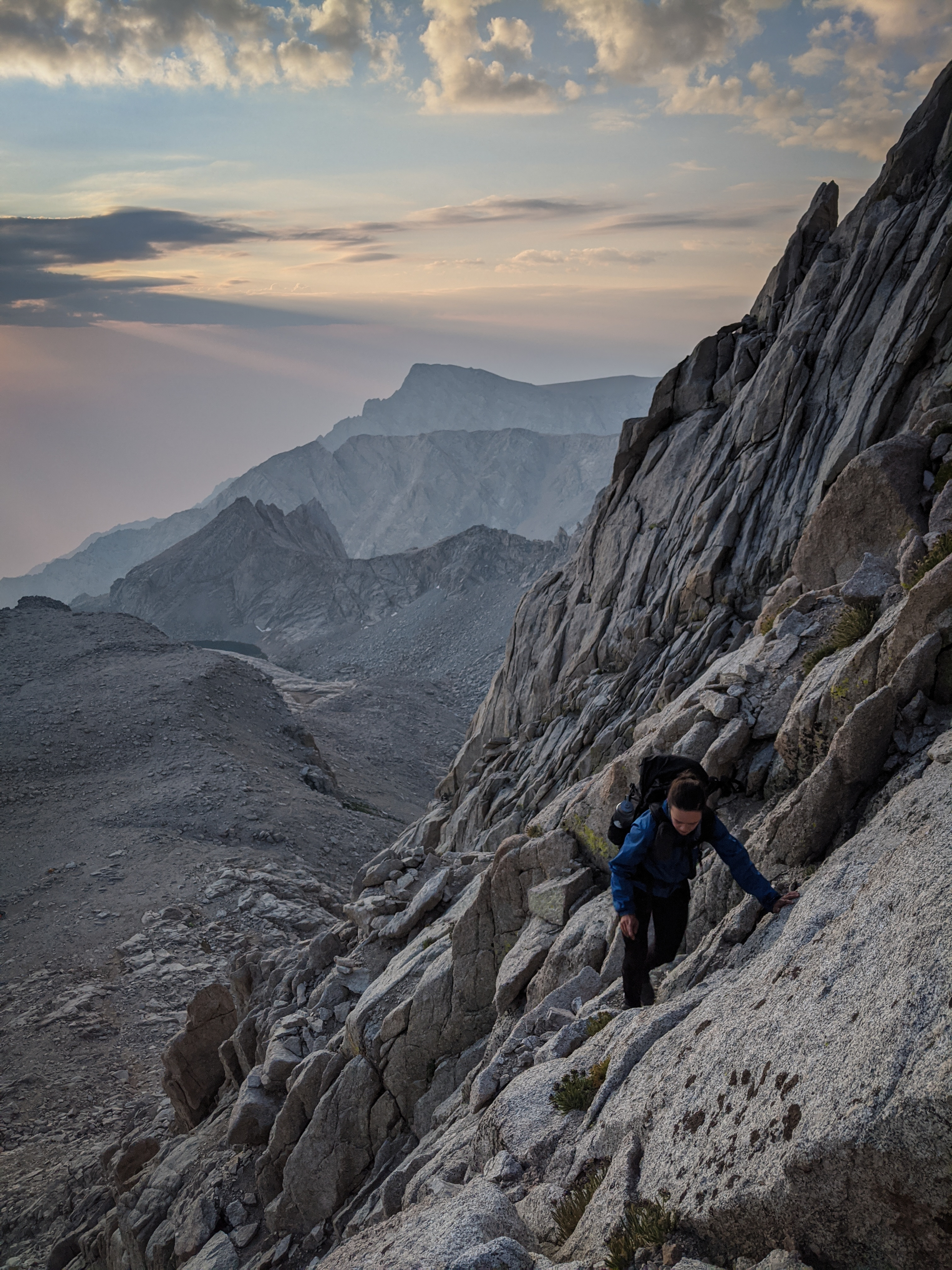
Shannon climbing as we neared the notch. The climbing up the main chute was not very difficult, more class 2/3 than 3. And it was very clean, from the many thousands of people who have climbed and descended this route over the years.

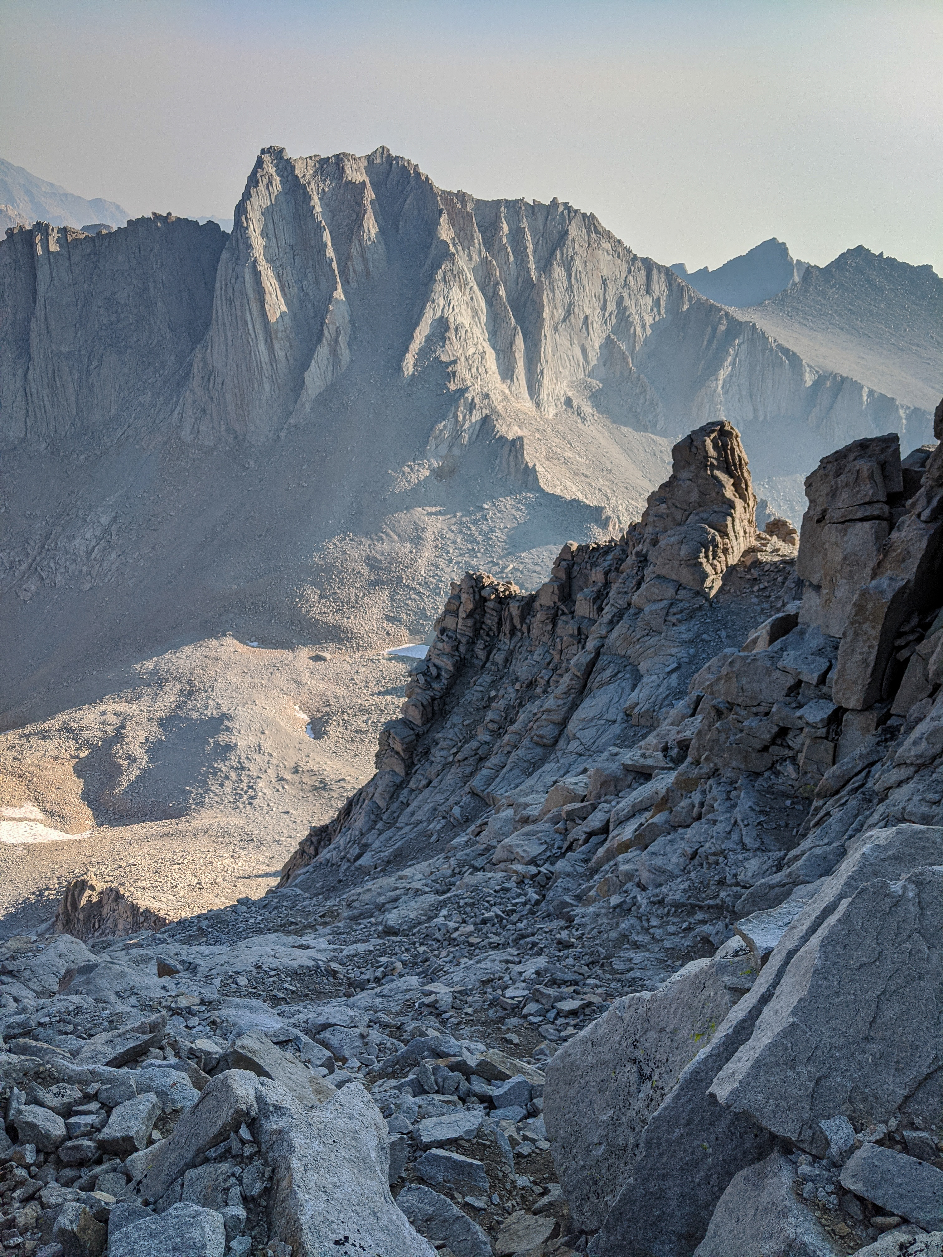
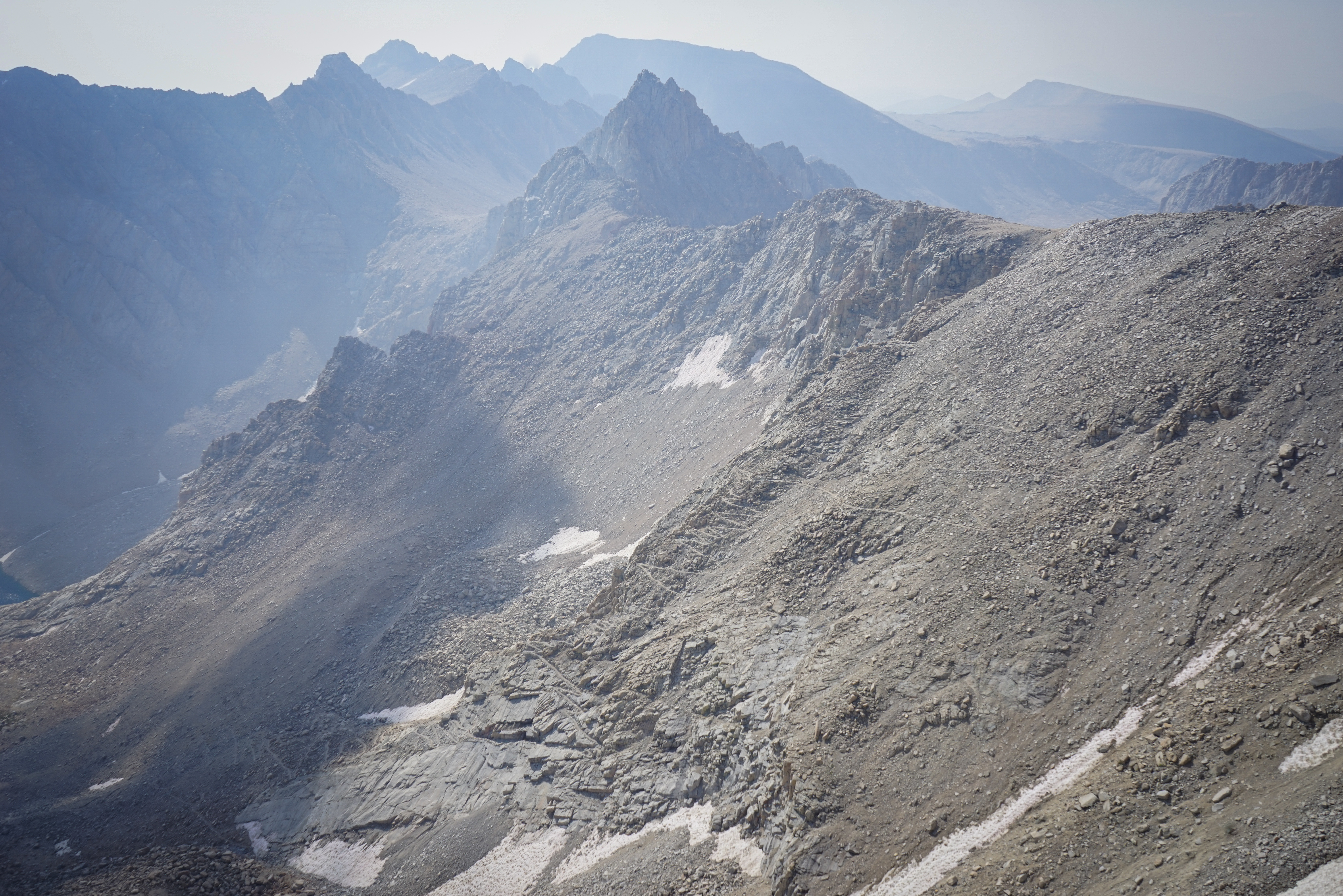
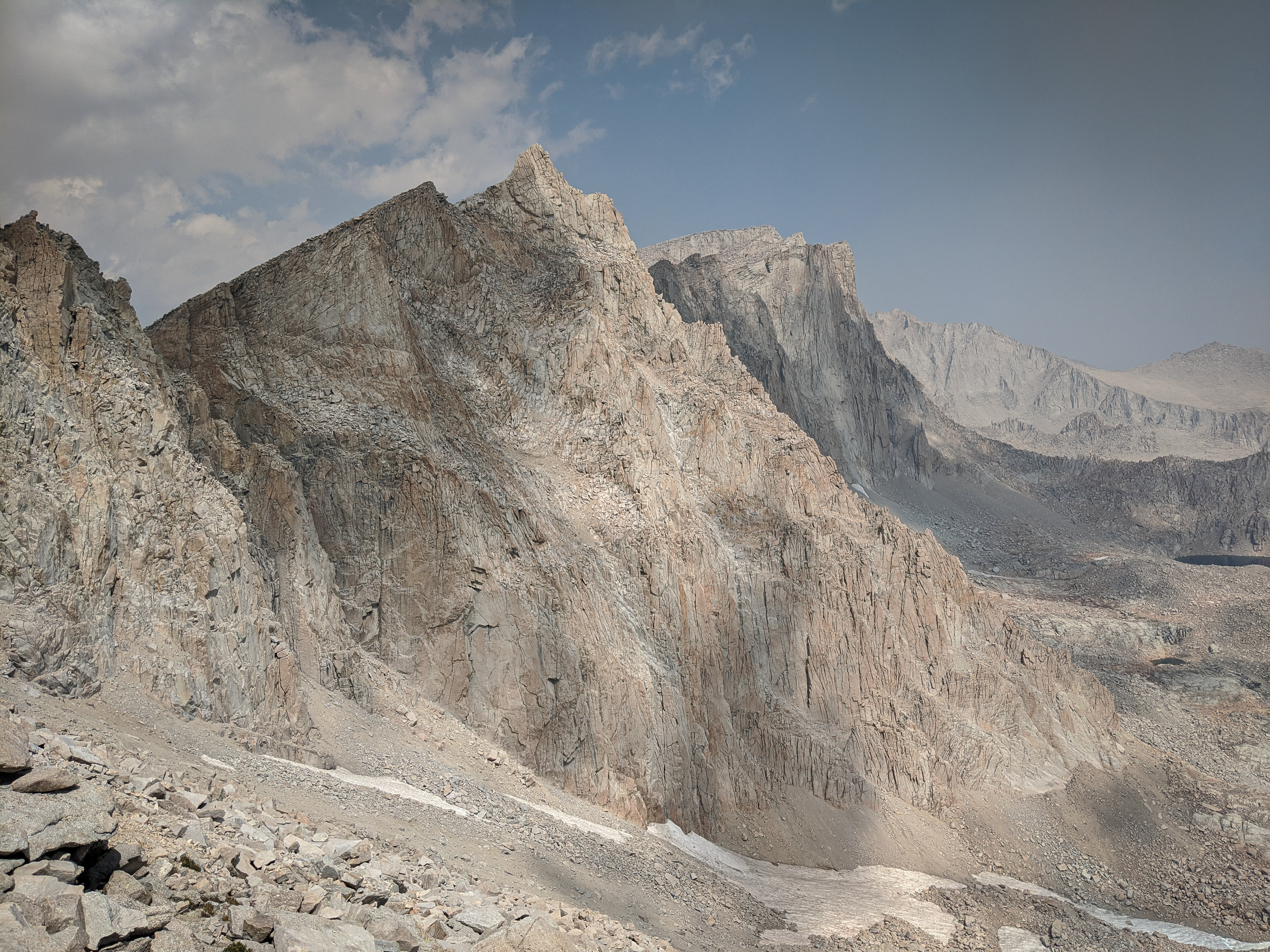
Mount Hale and the Great Western Divide from The Notch.

Close-up of Mount Hale, an impressive peak that I will have to come back and climb some day!

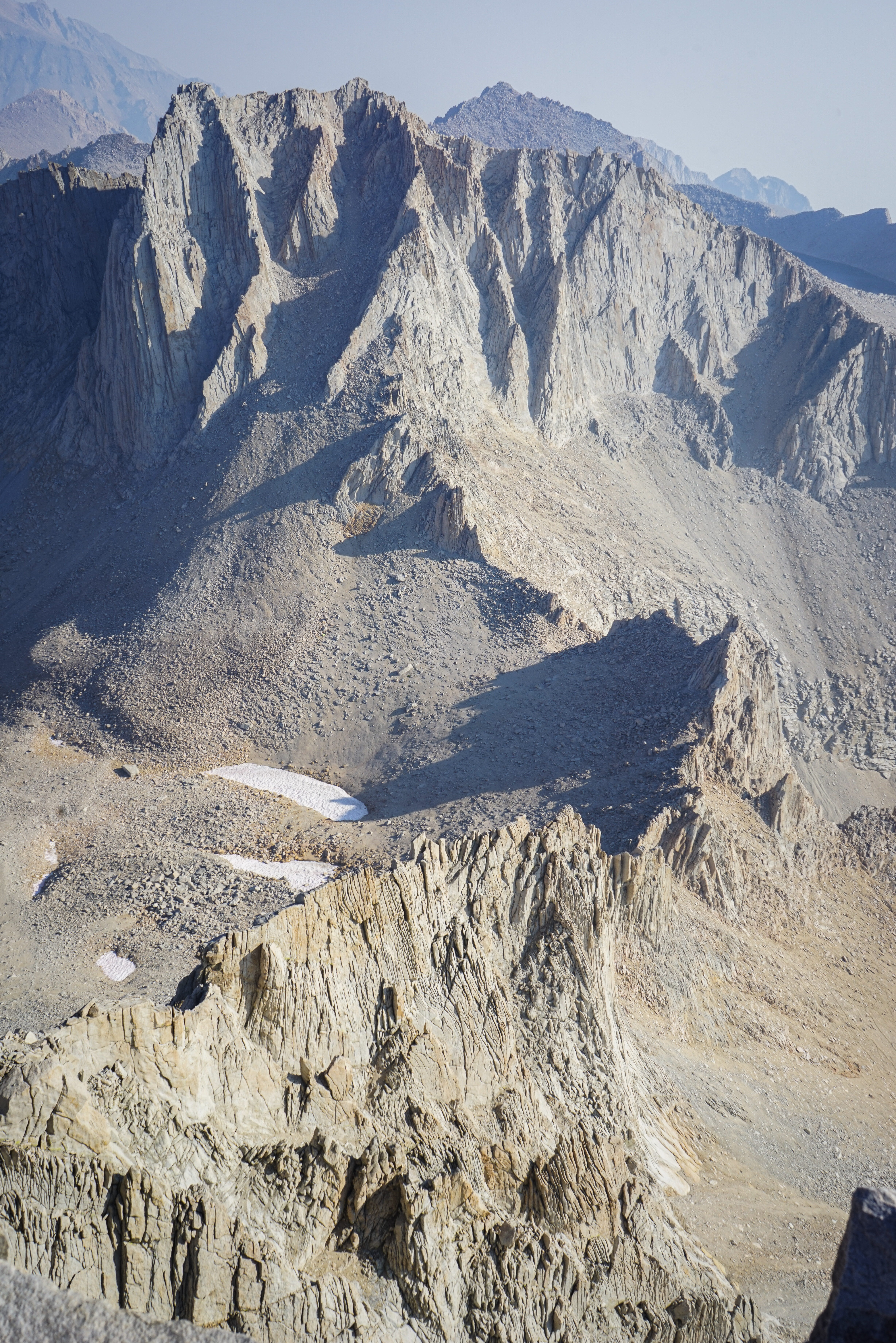
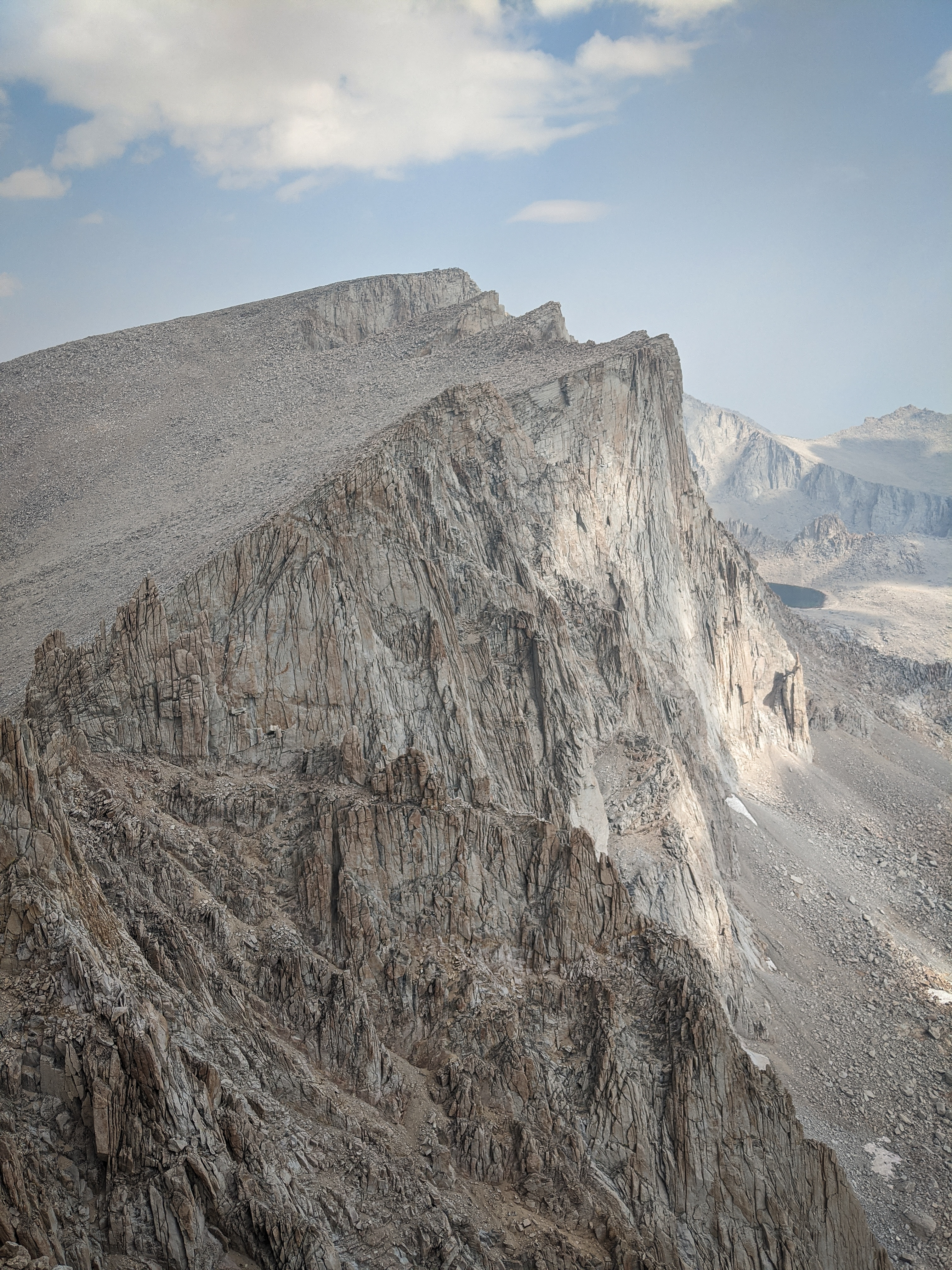
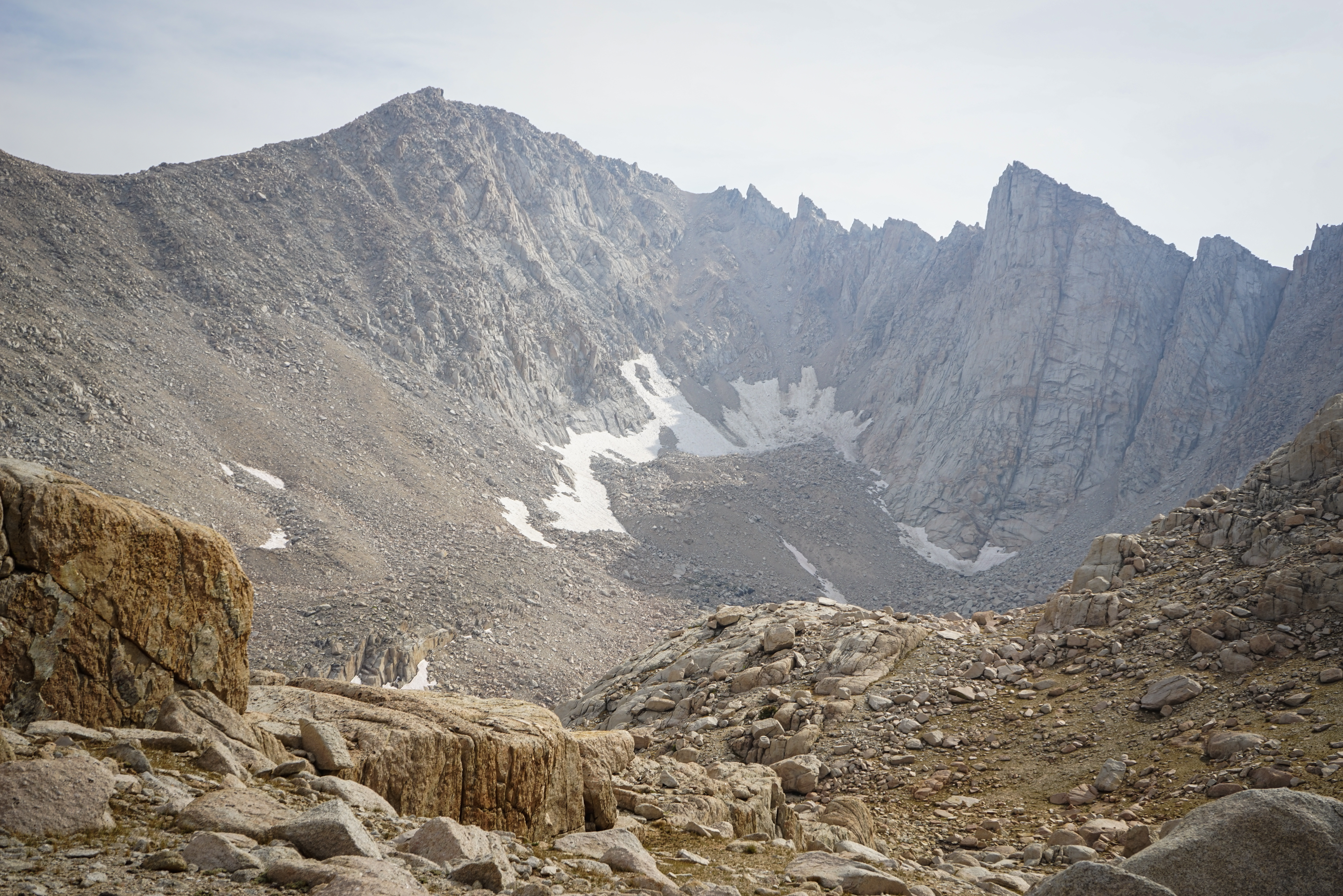
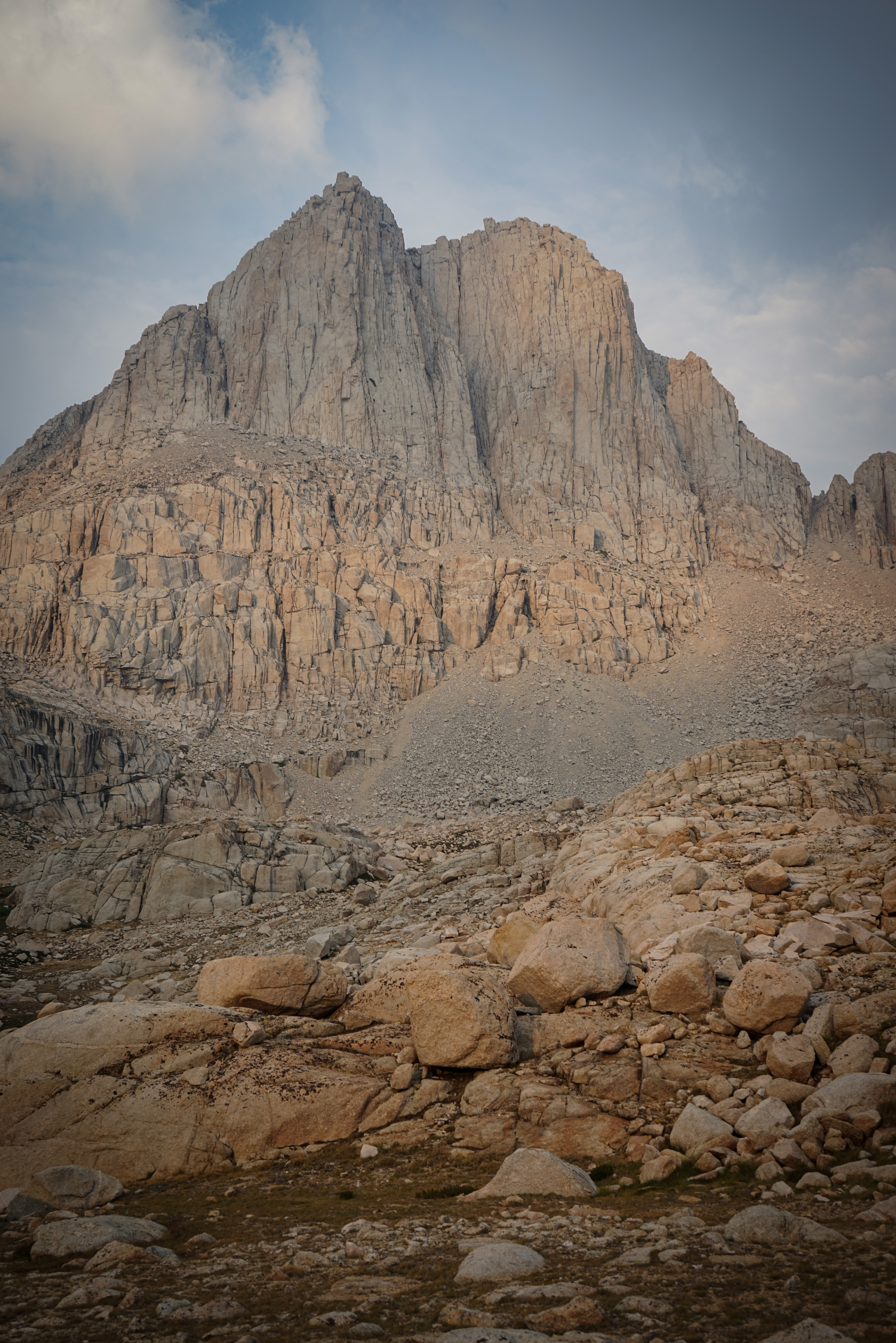
Are you tired of photographs of Mount Russell yet? This one has the South Face Right Side route which climbs the talus (and probably sand) gully to class 3 terrain on the headwall. We talked to a pair at Iceberg Lake who climbed this route and said they found about 50 feet of class 4-5 terrain at the top. I don’t know if this is a Secor sandbag, the route has changed, or they climbed the wrong chimney at the top.
We traversed about 100 feet west from the notch and then turned south (not north, like Dixon says) for the summit. There is reportedly easier terrain if you traverse farther west, but we enjoyed the engaging class 3 to the summit, even if we had to stop and warm our fingers periodically. The rock here was a tiny bit looser so we took some care not to dislodge these boulders.

Shannon climbing the last fifty feet or so to the summit of Mount Whitney.
Mount Russell from the summit of Mount Whitney.
We found a dozen or so people on the summit who must have all come up the Whitney or John Muir Trail.
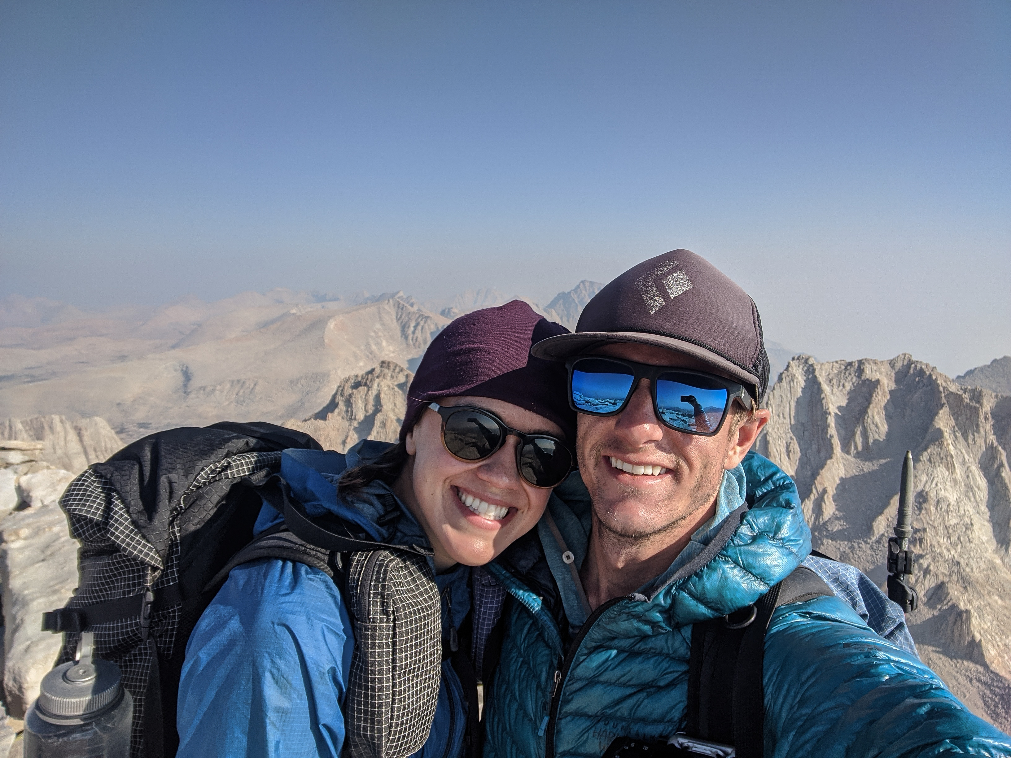
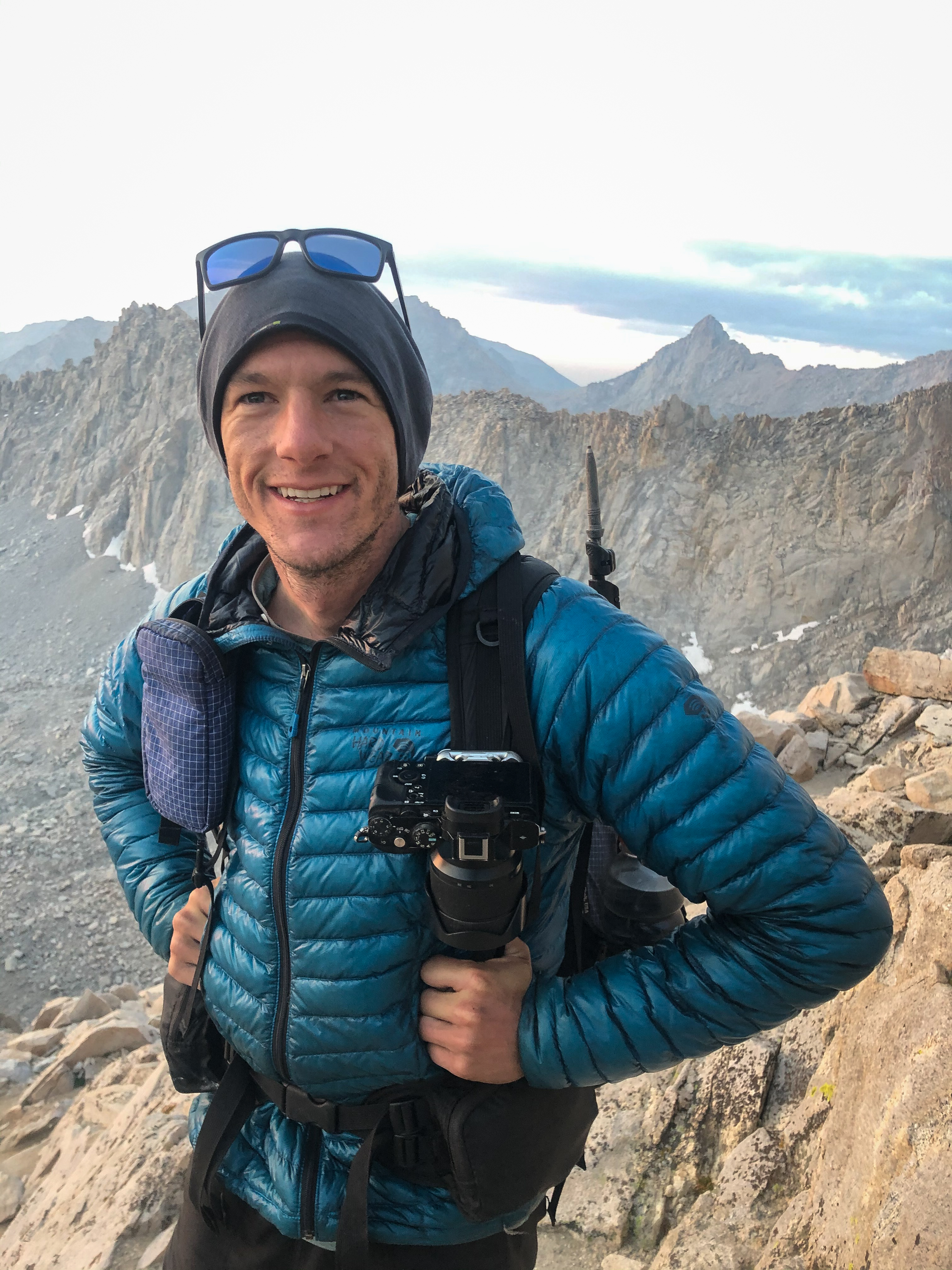
Summit selfie! We had both climbed Mount Whitney before, but not together and not via the Mountaineer’s Route.

The view south, with Keeler Needle, Mount Muir, Mount McAdie, and Mount Langley plainly visible. Discovery Pass is the sand slope just left of Mount Muir.

The Whitney Trail heading south from the summit.

One more shot of the beautiful Mount Hale and Wales Lake.

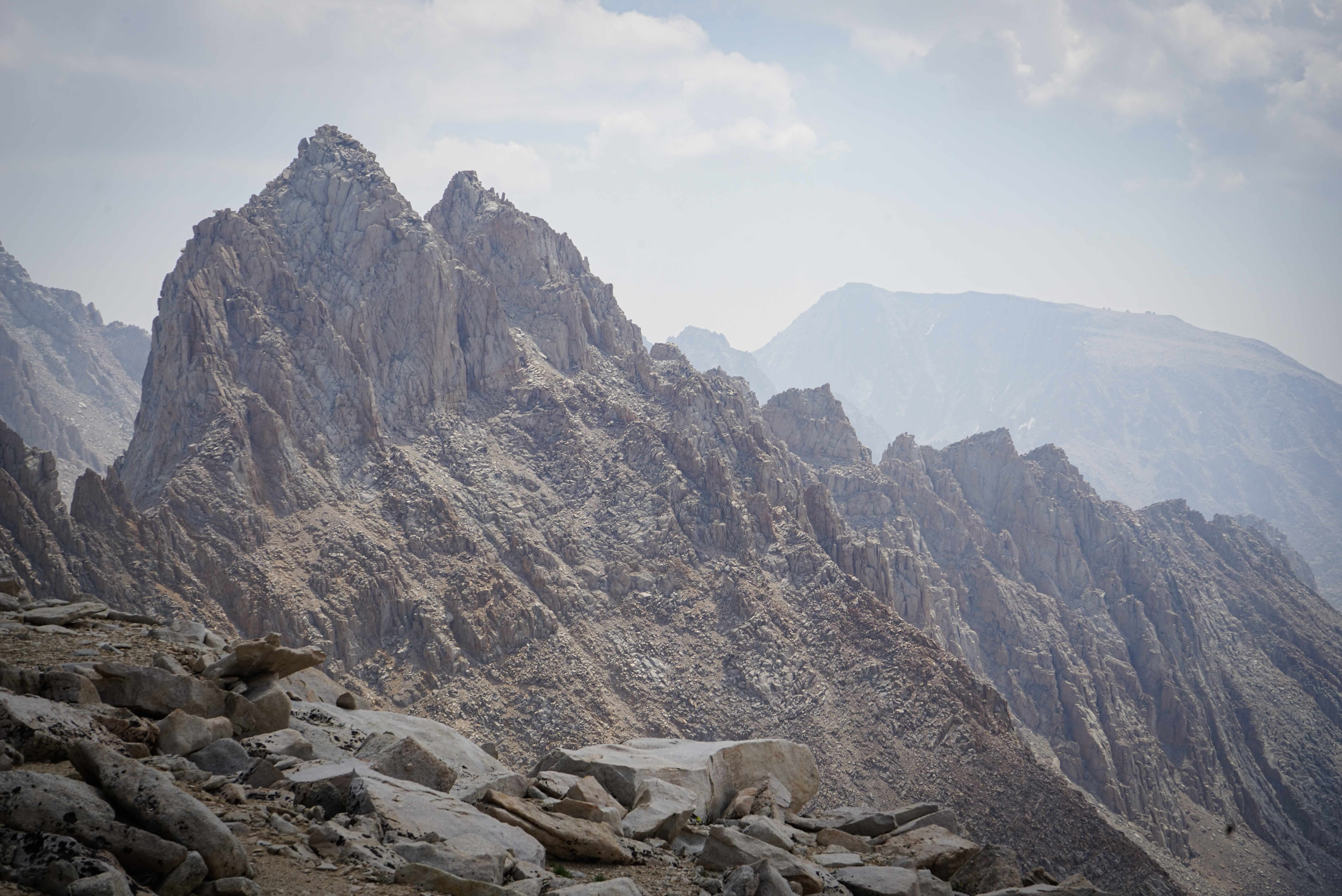
Mount Muir, California’s twelfth highest peak with more than 200’ of topographic prominence and a worthy side trip for the capable class-3 climber passing by.

We passed probably 50 people heading up and down the Whitney Trail.
The view of the switchbacks on the Mount Whitney Trail below Mount McAdie, Arc Pass, and some of the crest peaks to the south (Mount Mallory, Corcoran, LeConte, Langley, and Cirque Peak) from near the summit of Mount Muir.
The class 3 section on Mount Muir is not long, but it’s quite tricky with a delicate slab move near the top. Choose the wrong route and you’ll find yourself with 2,000’ of air beneath your feet. There are plenty of useful annotated pictures on the internet.
The view north from the summit of Mount Muir.
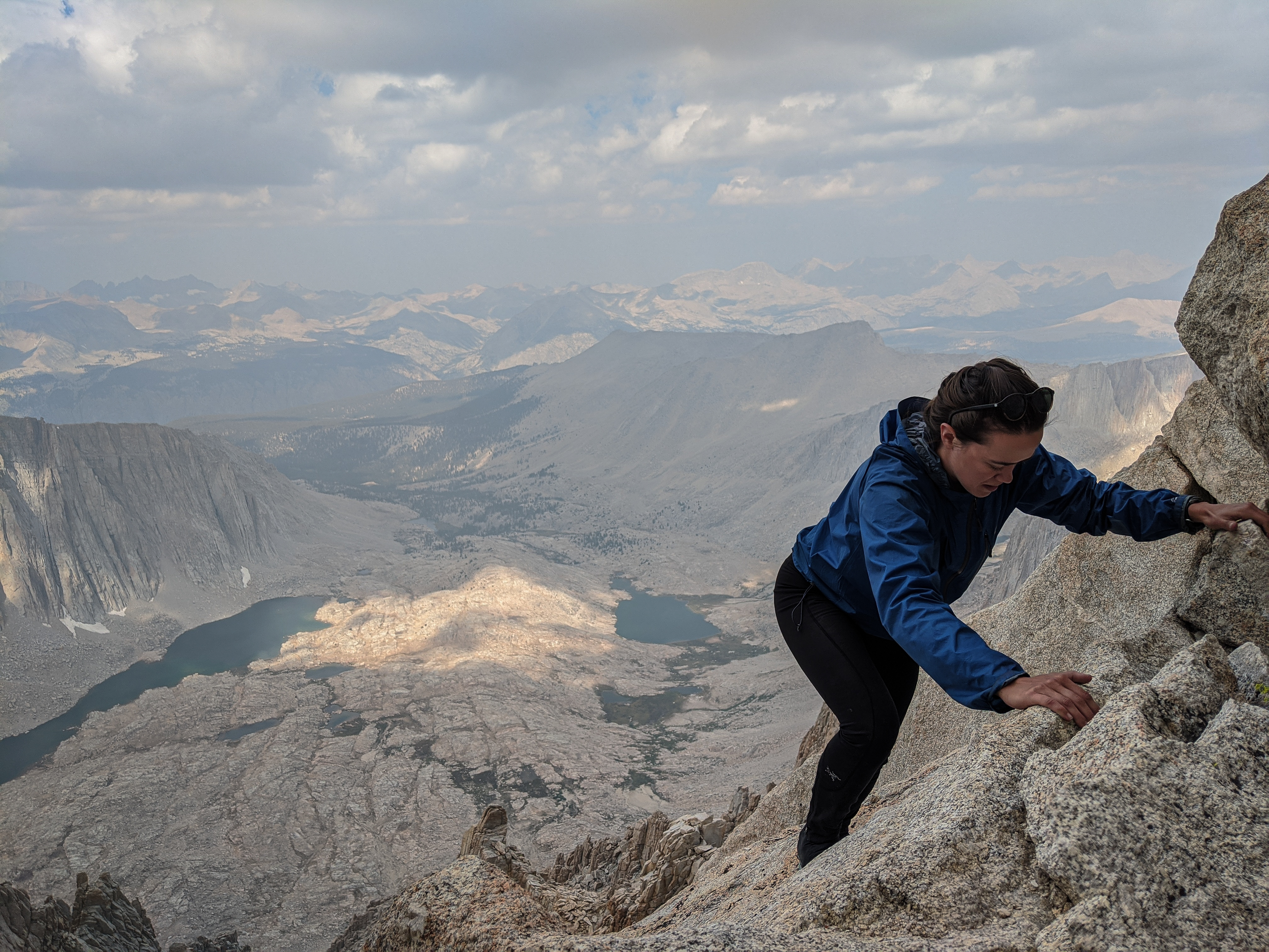
Shannon downclimbing from Mount Whitney. It was almost noon and clouds were building again.

Another view of Mount Muir’s summit from the west. When we got back to the trail, we came across a couple of guys in running shoes, shorts, and singlets who were debating a sidetrip up Mount Muir. We encouraged them to give it a try.
Looking north at Mount Muir and Whitney from the Whitney Trail. We left the trail just a bit south of Trail Crest and headed directly south for Discovery Pass. No surprises here, the route goes easily as described.
Mount McAdie from Discovery Pass.

And from midway down the loose sand-slope south of Discovery Pass.
At Upper Crabtree Lake, we stopped for lunch. The dark clouds overhead prompted us to set up the tent in case it decided to rain. While we were setting up, another hiker descended to the lake from Crabtree Pass, and we talked to him for a few minutes. He was out for a day hike from his camp at Sky Blue Lake, which he said wasn’t too far away.
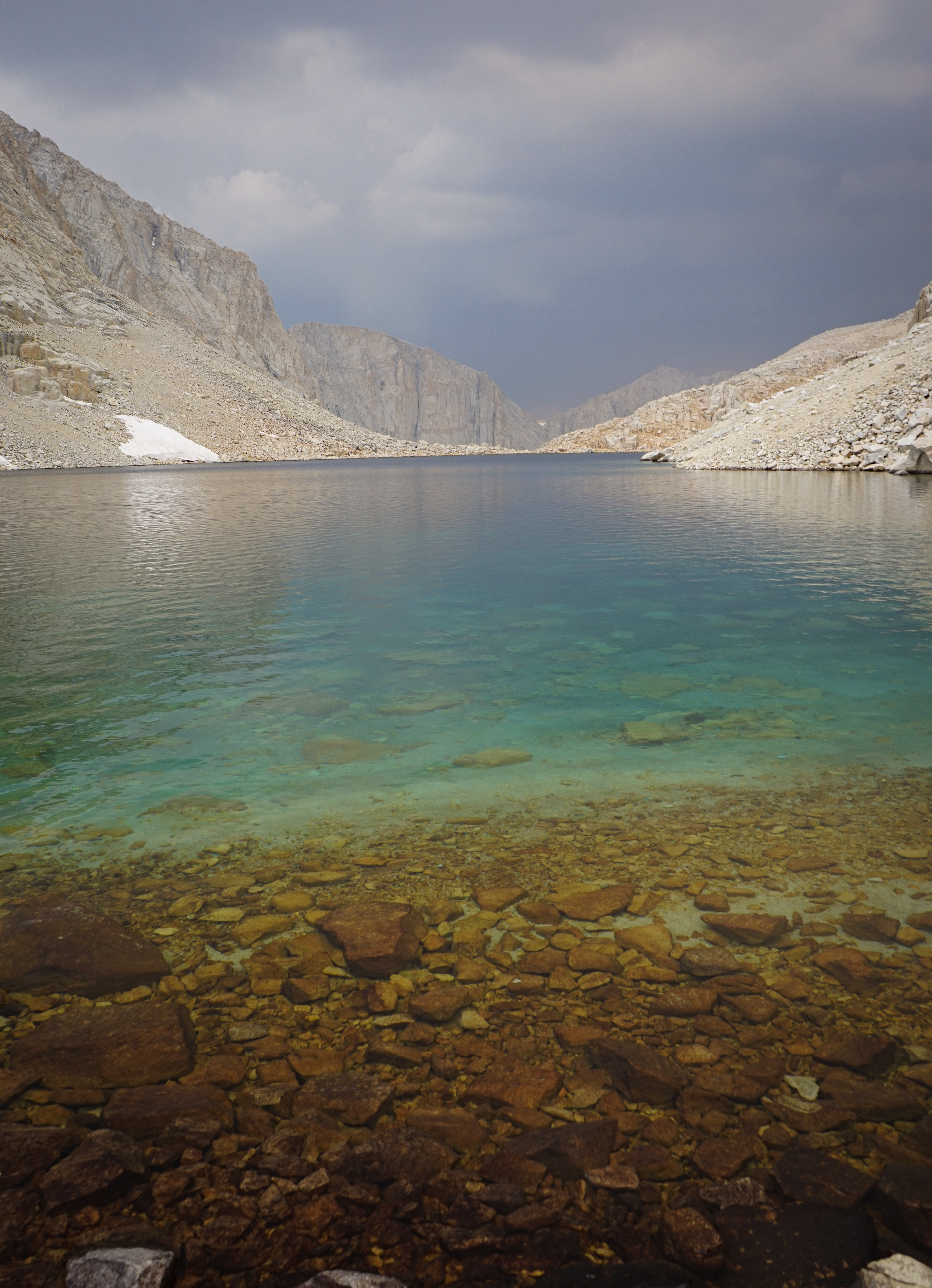
As the sky darkened above us, we noticed an orange glow through the gap between Mount Chamberlain and Crabtree Crags. Given that it was still midday, this was definitely from one of the wildfires. But the location of the glow, which we guessed was near Chagoopa Plateau, didn’t exactly line up with the fires we knew about. Even in retrospect, it’s difficult to determine whether the glow was from a smaller, northern fire like the Shotgun Fire, or the larger Castle Fire (both of these were later renamed the SQF Complex Fire) farther south. But in either case, the glow was close enough to worry us a bit. However, we knew the only hazard in our alpine setting was smoke and made a plan to monitor conditions and hurry out if they deteriorated.
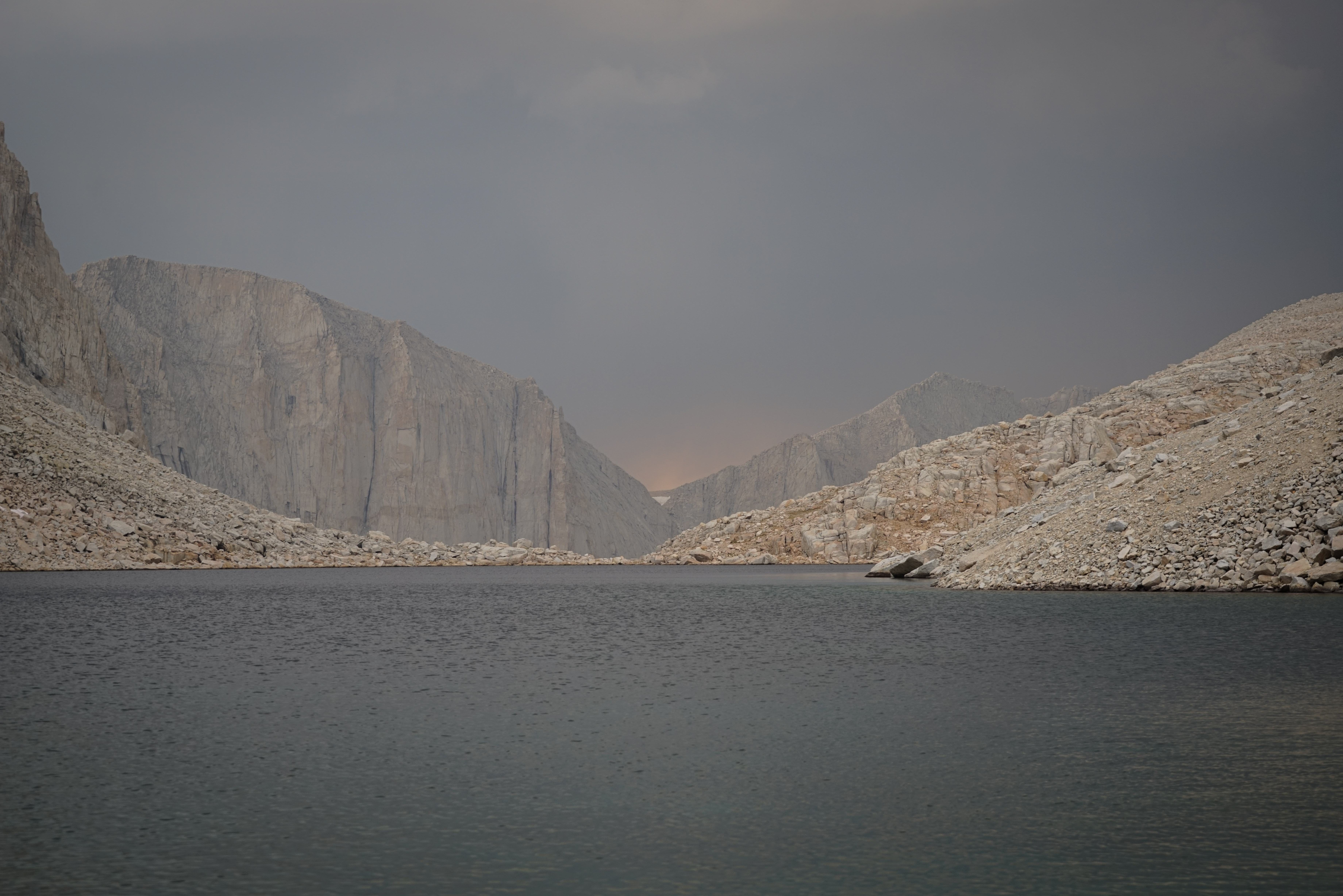
The smoke and glow from the wildfires made for some nice light for photos.
After resting for a couple of hours, the sky cleared enough that we believed we could safely cross Crabtree Pass, so off we went again.
From Crabtree Pass I was able to get a good shot of the massive sand slope south of Discovery Pass. This is another sand hill that I would not be too excited to ascend. We came down the upper sand hill trending descender’s right until the rock band, where we cut hard descender’s left until we were back on the sand. Easy.
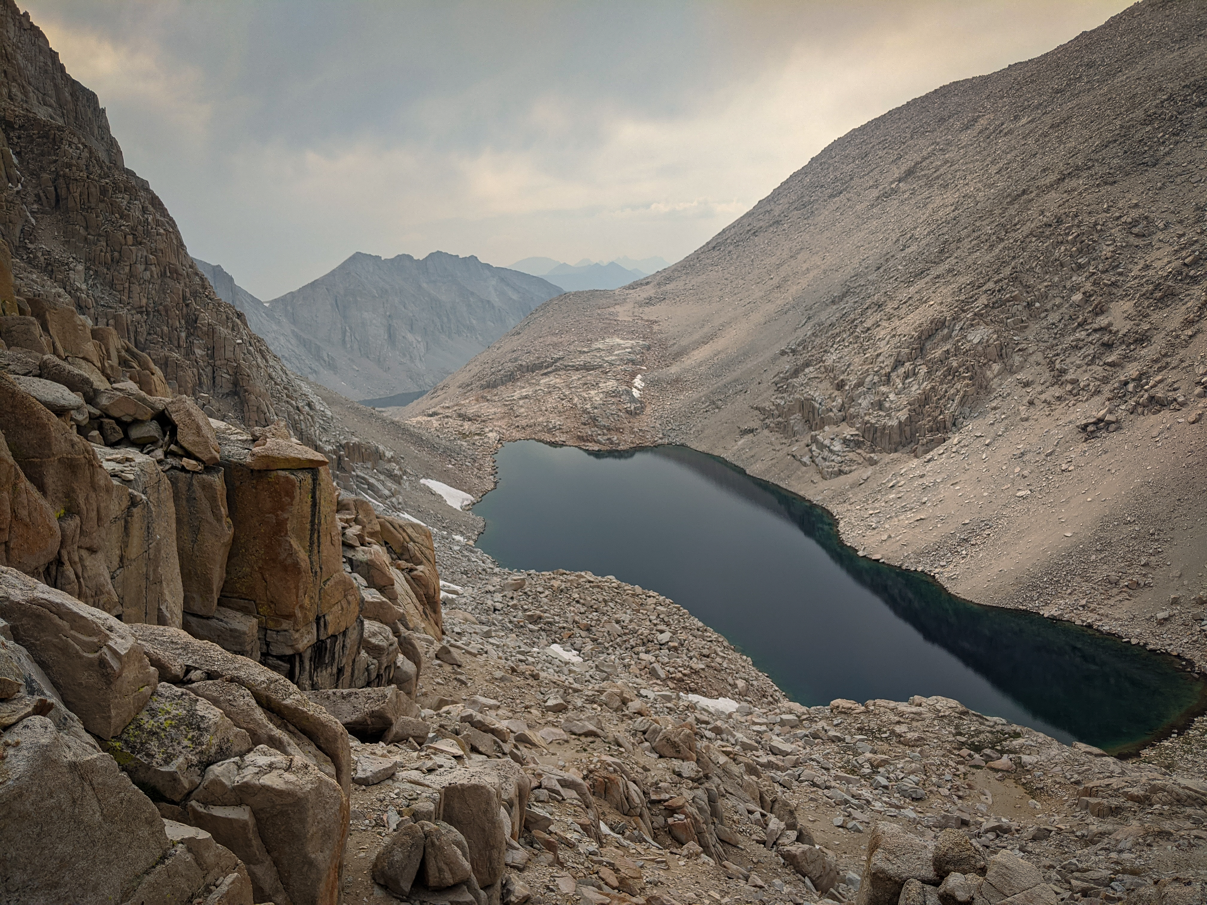
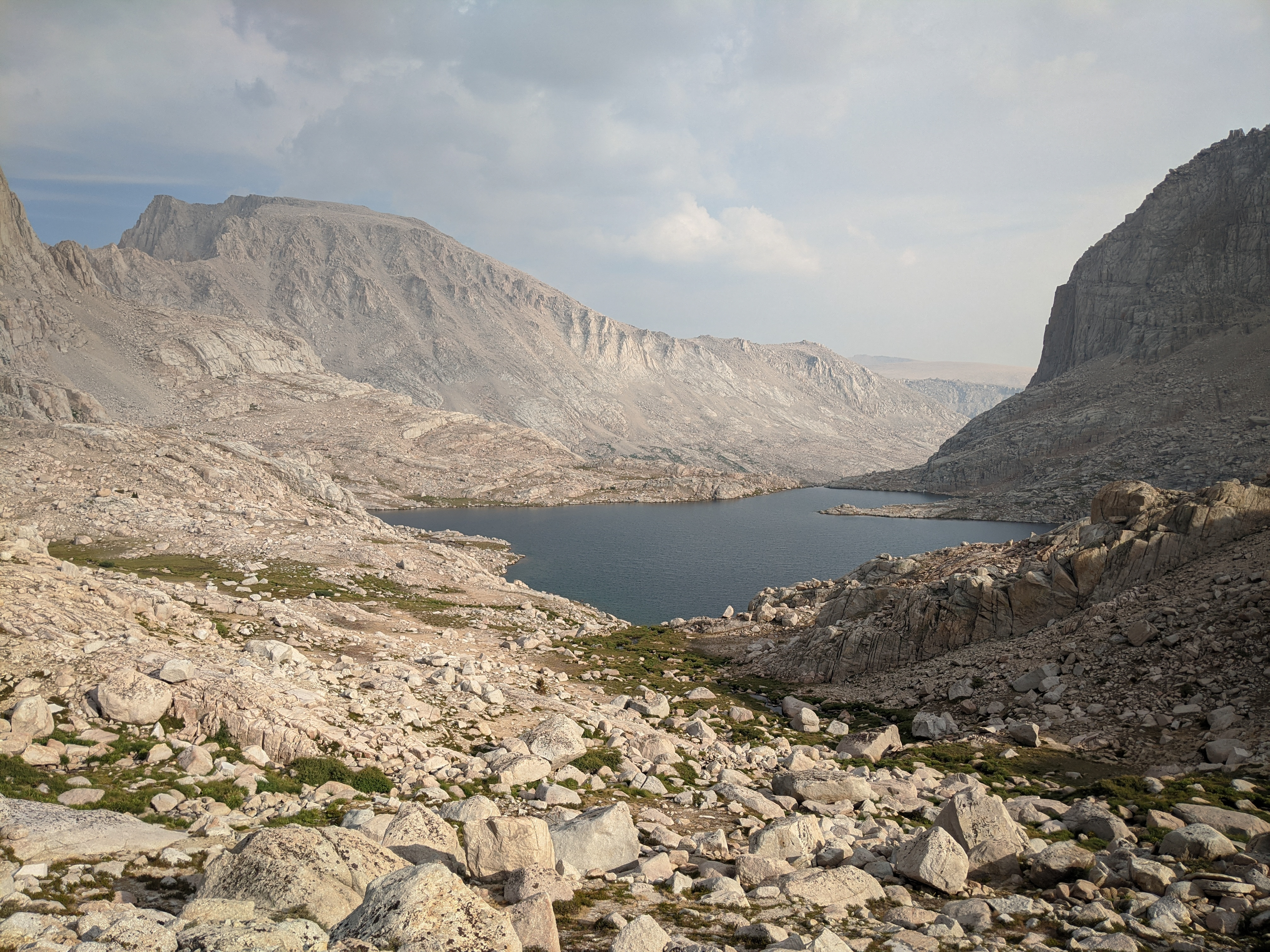
The view of Crabtree Lakes from Crabtree Pass.
Mount McAdie from Crabtree Pass. The West Chute is plainly visible, leading to the notch between the two summits.

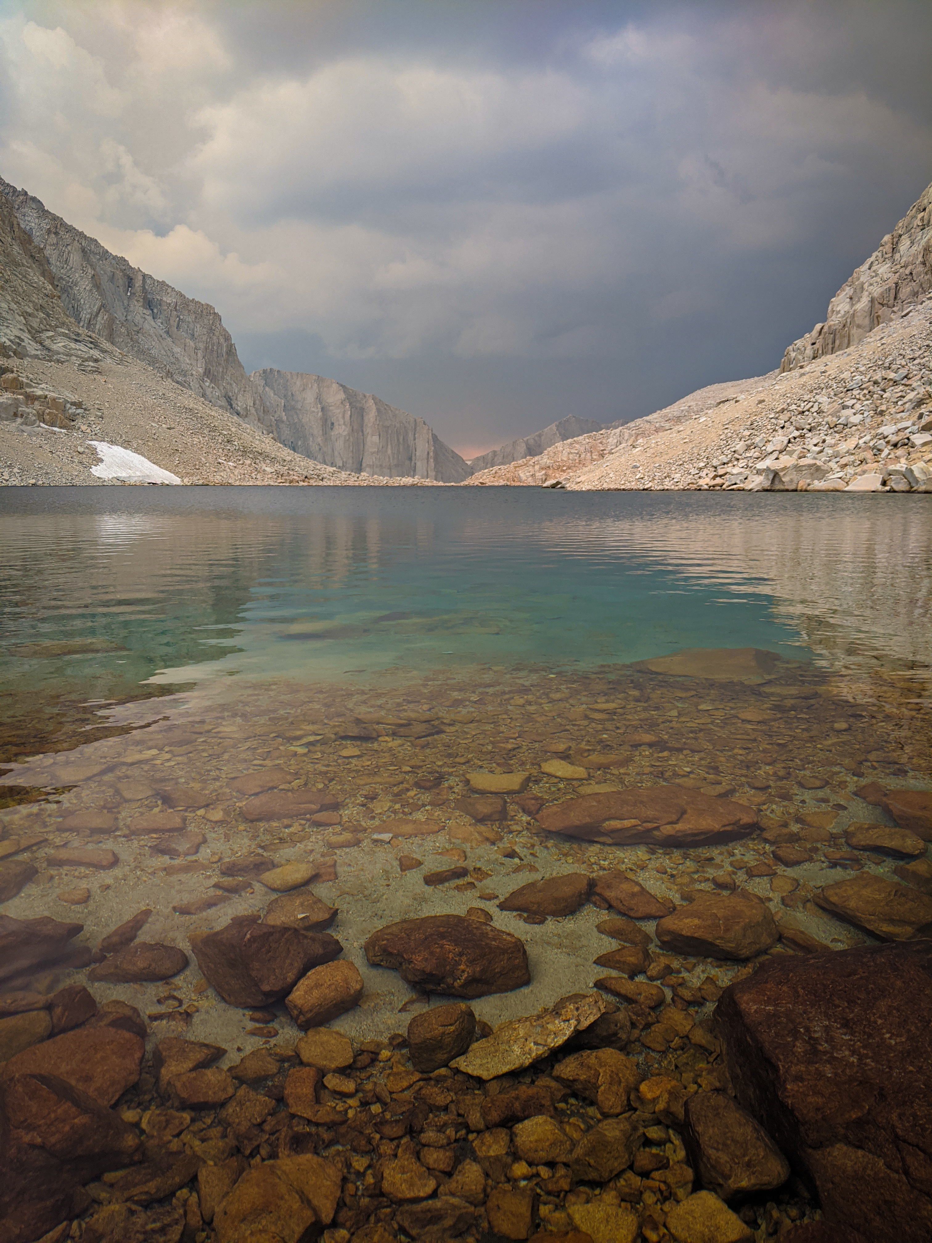
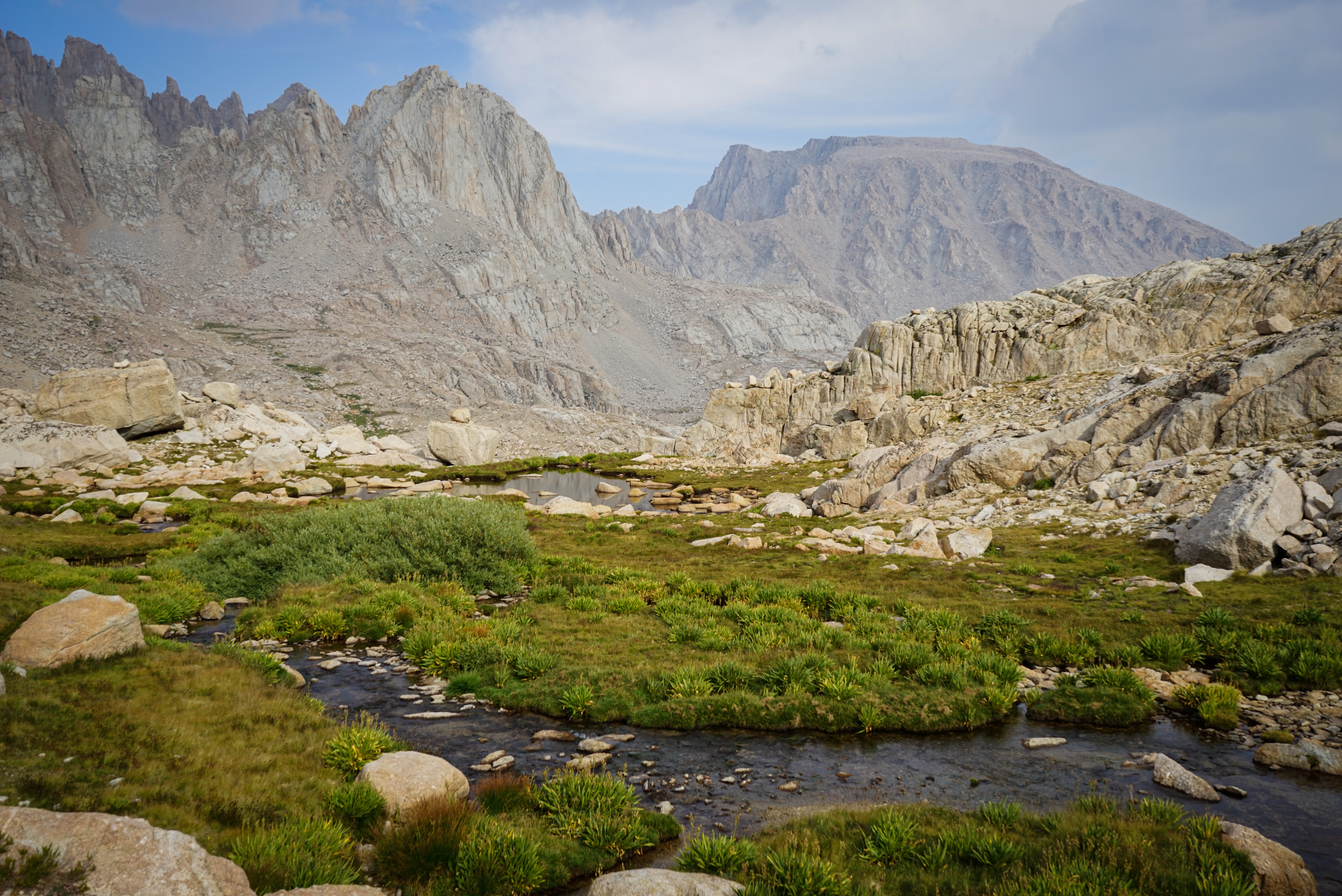
Overlooking Lake 12129, which fills the upper Miter Basin like a bathtub. We were quite relieved to begin descending south from Crabtree Pass because it was the last cross country pass we had to cross. At this point, we just had to descend through the Miter Basin to Rock Creek and then follow the trail out and we would complete the Southern Sierra High Route!

Mount Langley (background) and The Miter (illuminated, center-left) above Lake 12129.
Mount Pickering high above the Miter Basin, opposite Mount Langley.
Dixon describes the travel through the Miter Basin as “complicated” and mentions that it will “force you to make many small detours.” This is an accurate description. We spent a lot of time wandering through the rocky chutes, dead-ends, and cliff bands of this area. It was quite mentally tiring to make so many micro-navigation decisions while travelling so slowly.
Despite the difficulty, the scenery more than made up for it.
After what felt like many hours, we finally found the enormous Sky Blue Lake, and the trail that circles its south, east, and north shores. We made camp along the southeast shore. There was one other group here, but they were pretty quiet.


Sunset light in the Miter Basin.
When I was refilling water from the lake, a couple of guys with very small backpacks headed past on the trail. I chatted with them for a while, they were near the tail end of a two week hike linking sections of the Yosemite High Route, the Sierra High Route, and the Southern Sierra High Route. They relayed some stories of difficult terrain crossing from the Merced drainage to Bench Canyon where they took an alternate described by Roper. They also told me about some fairly sketchy travel on the Acrodectes alternate, descending Mount Baxter, which made me happy to have skipped that section. Interestingly, they also decided to skip Junction Pass based on the description.