We didn’t hurry out of Mammoth in the morning, aiming to get to the ranger station just after it opened. It was quite nice to only have to drive about an hour to get to Tuolumne Meadows instead of the usual four and a half.
When we arrived at the park entrance at Tioga Pass, there was a short line to get into the park. I’d say that the park’s new reservation system was serving its intended purpose (to prevent people from visiting), but honestly I’ve never seen this entrance too busy. When we arrived at the kiosk we had to show and obtain our backpacking permit reservation and our parks pass, and we were given a piece of paper to put on our dashboard.
It was very quiet along the road until we got to the ranger station where we pulled in and parked and joined the line of backpackers waiting to pick up their permits. After waiting ten minutes or so, we joined a group of four or five parties for the wilderness talk by the ranger. Unfortunately, there were a few beginner backpackers in the group, so we got a very detailed talking through of Leave No Trace that took another 20 minutes or so. Then it was another 10 minutes or so of waiting for them to issue each person’s permit and answer the individual questions about their itinerary. After maybe forty-five minutes we finally had our permit. We were also given a second parking pass for our car. At this point, our visit to Yosemite required: a backpacking reservation, a parks pass, a little piece of paper from the park service that said we could be in the park, a backpacking permit, and another little piece of paper that said we could park overnight at the ranger station. It seemed like a little bit too much overhead to go and enjoy our public lands.
Finally, about 90 minutes after arriving at the park entrance, we donned our backpacks and set off on the Pacific Crest Trail along the Tuolumne River. We navigated the maze of trails near the lodge and across the bridge and got going south on the John Muir Trail. There were many groups out in the first mile or so of the trial but it thinned out as we went farther along.
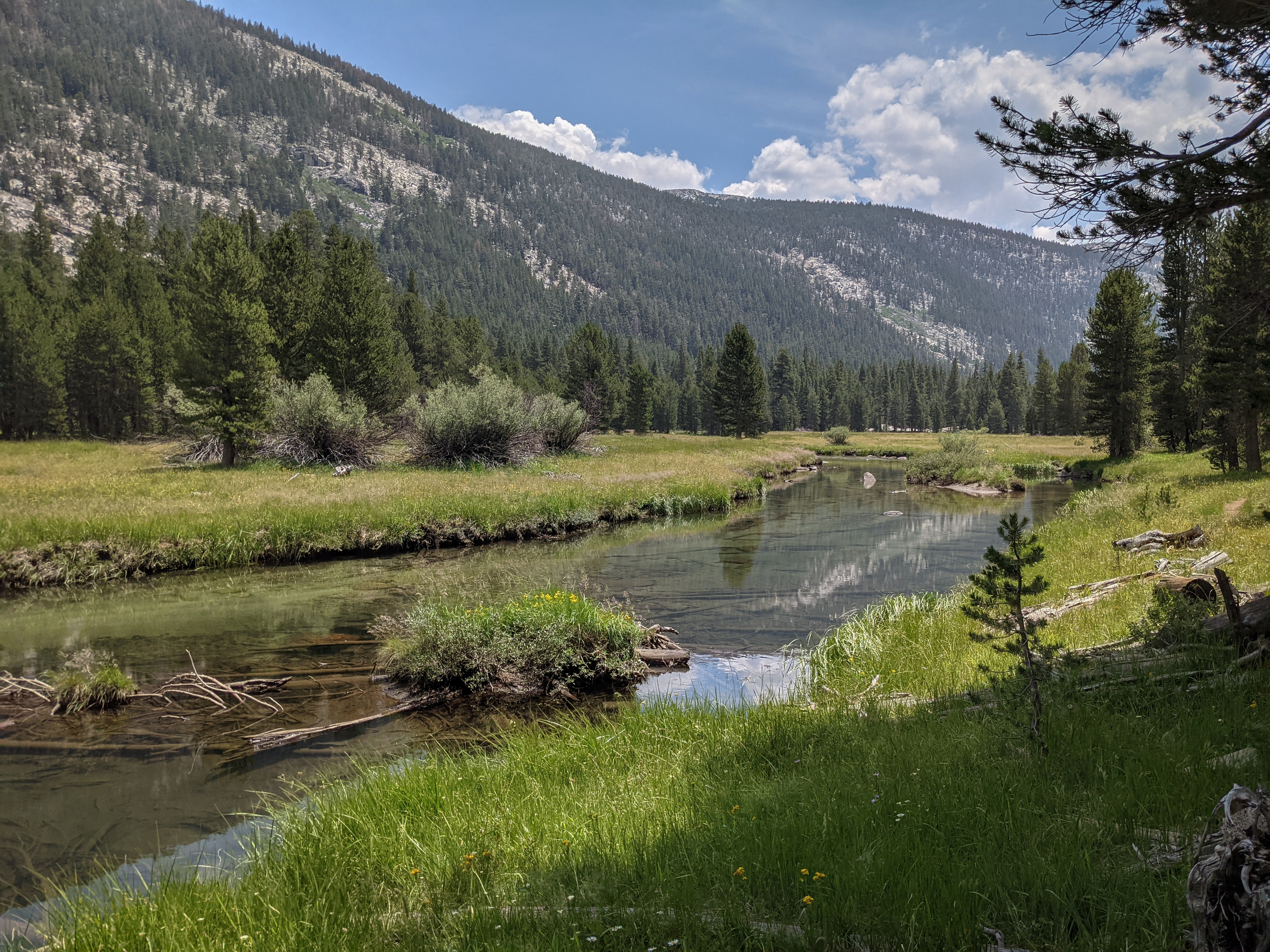
The Tuolumne River along the trail in Lyell Canyon.
After a few miles, we ran into a friend from San Francisco, Tony, out for a run with some other folks. We stopped and chatted for a bit before going on our way. We knew another friend, Paddy, was up in Tuolumne Meadows this weekend with them and they told us Paddy was off climbing Mount Lyell today. Not long after running into Tony we ran into a ranger who permit checked us, though it was a quick stop.
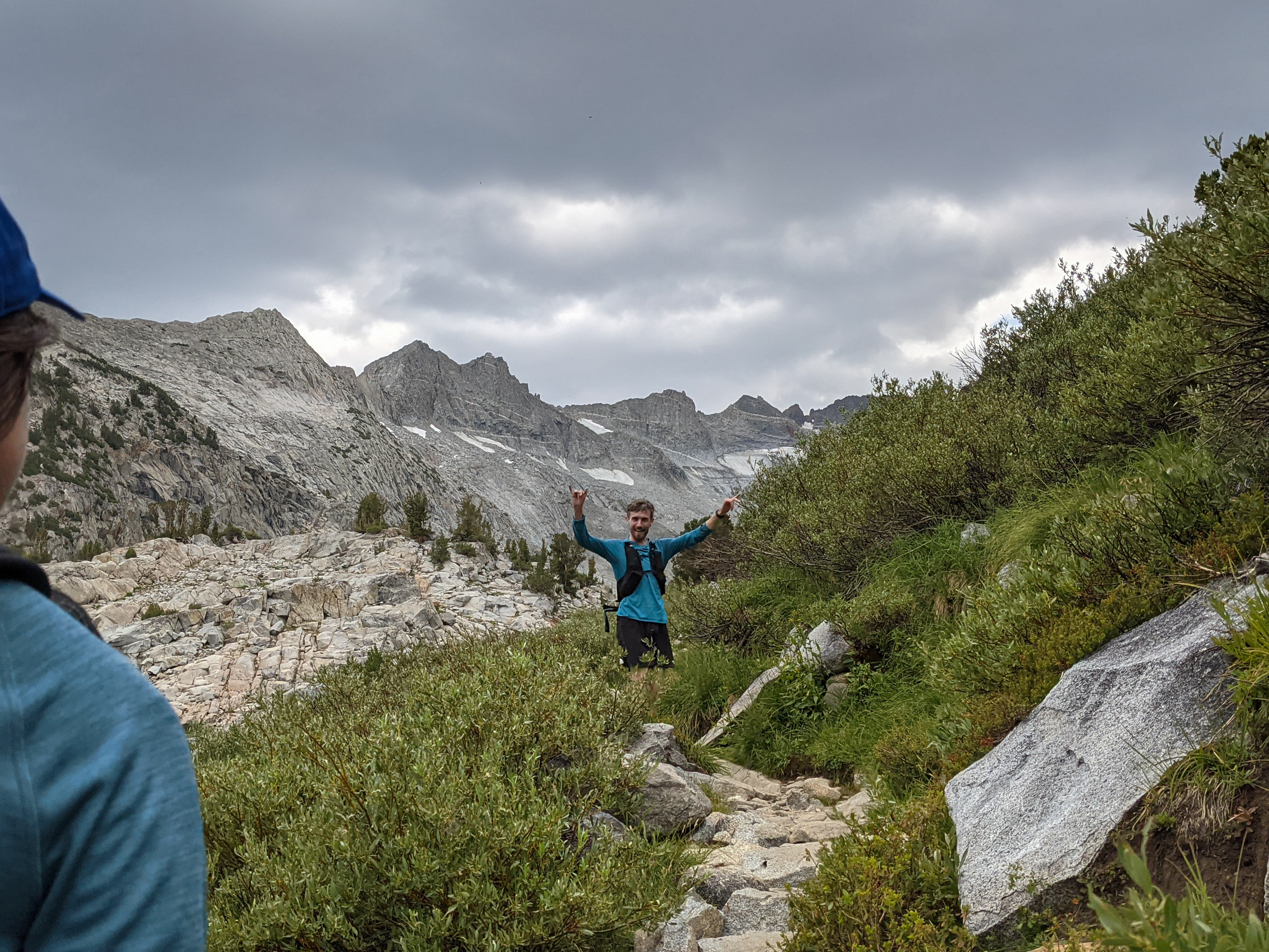
Around mile 5 or 6 we stopped for some lunch by the river. The clouds were beginning to swirl a bit. Our original plan had been to climb the two peaks today and camp up near Donohue Pass, but with bad weather threatening and all of the wasted time at the ranger station that seemed increasingly unlikely.
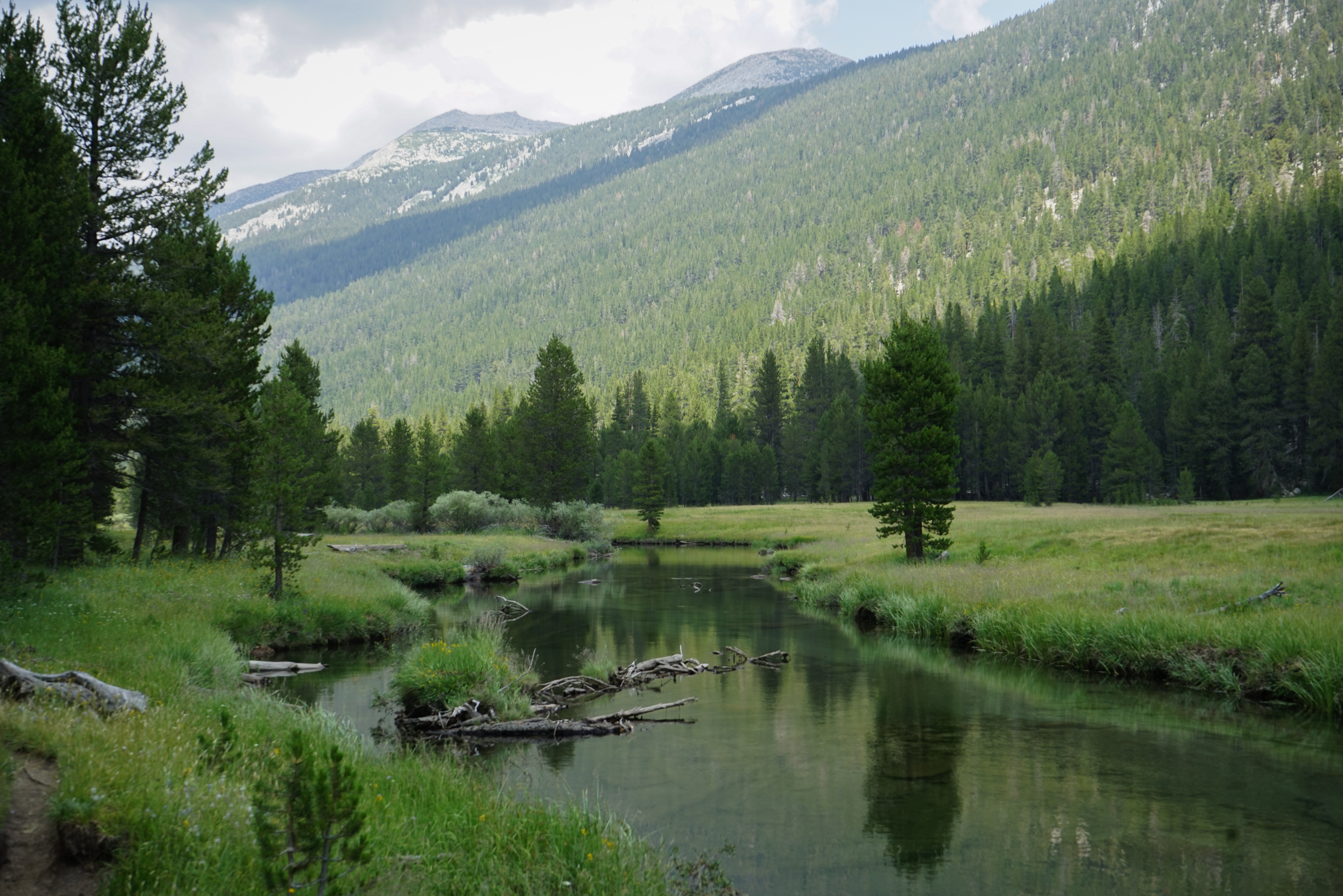
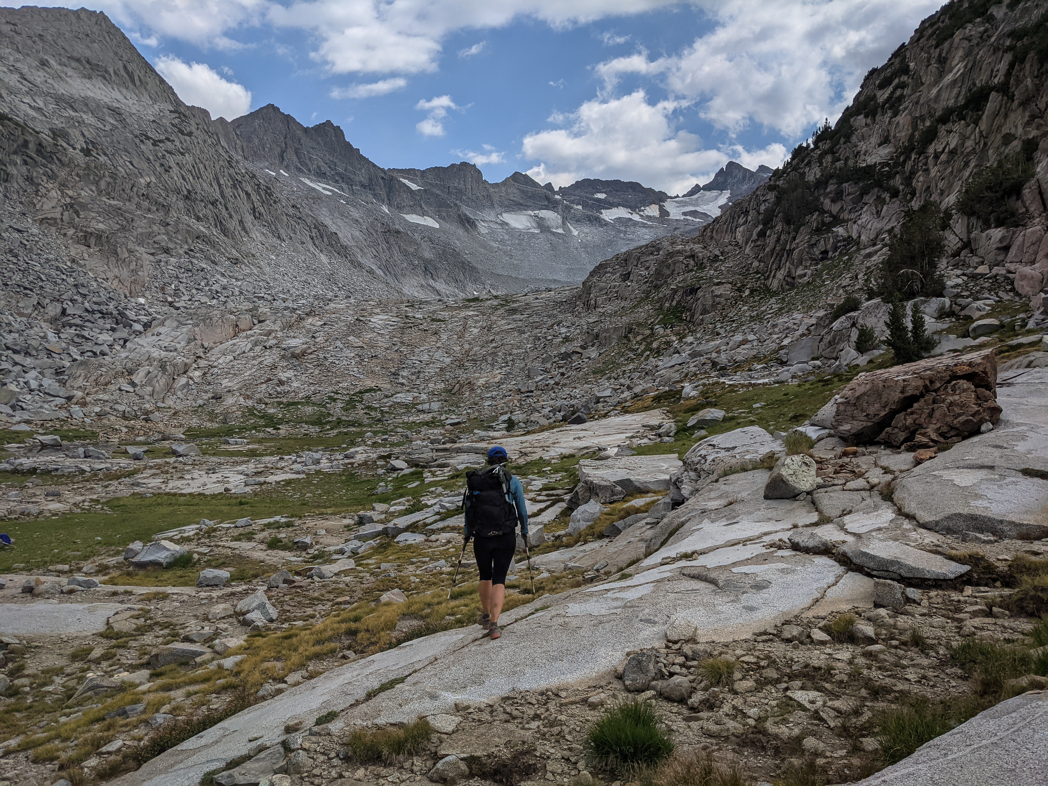
The Tuolumne River in Lyell Canyon. While this was a long, flat section, it was really quite pretty with the river slowly snaking down the canyon through almost continuous meadows.
Near the head of the canyon, Mount Lyell and Maclure appeared high above. In this area, the beautiful U-shaped canyon comes to an end and the 2,000’ climb to Donohue Pass begins. It was a little rough to transition to climbing after about 9 miles of easy walking, but we survived.
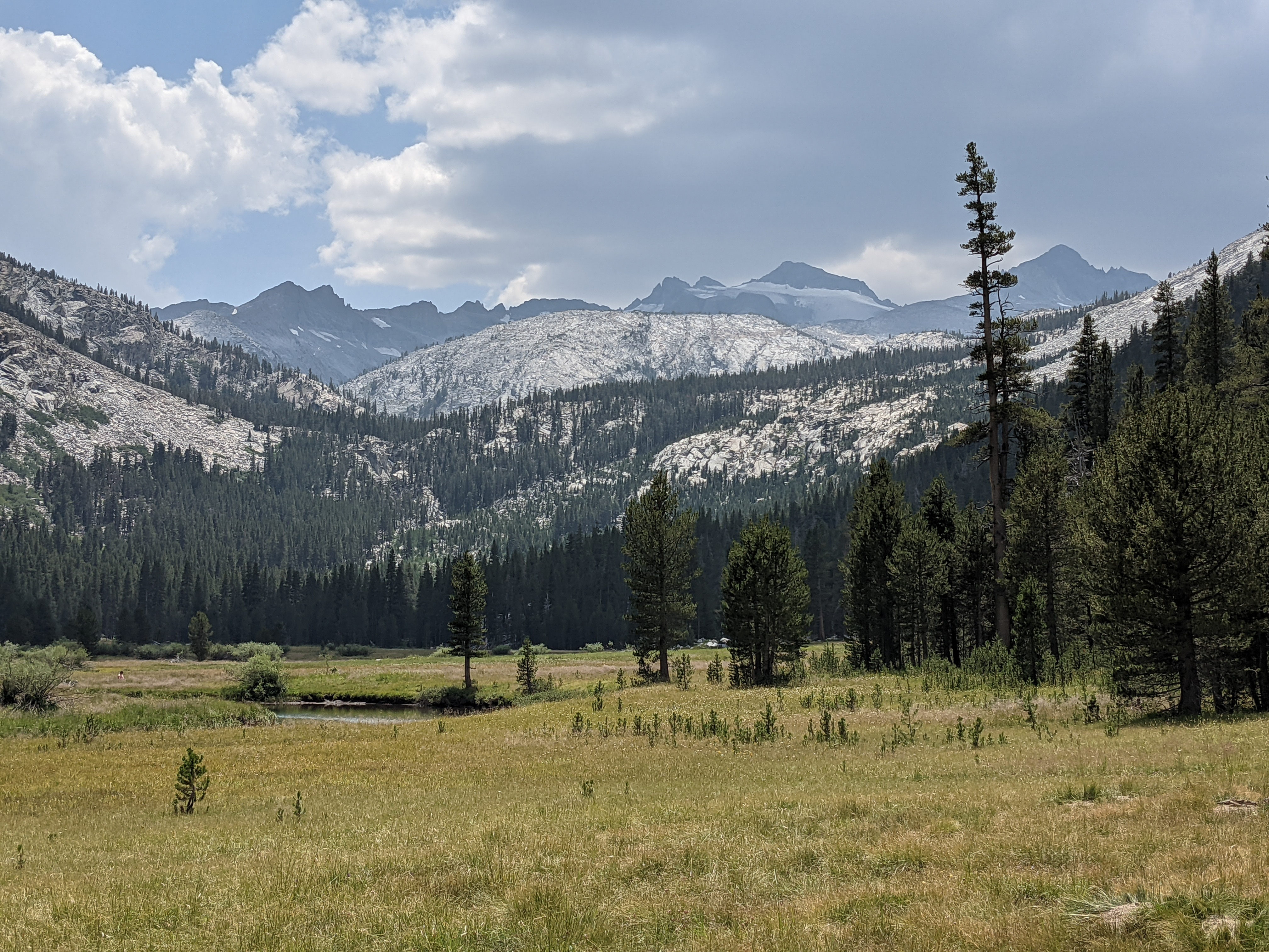
Looking back over the meadows along the Tuolumne River.
Soon enough, we ran into Paddy! He relayed stories of his adventure climbing up and over Amelia Earhart Peak, then Mount Maclure, then Mount Lyell, and provided some helpful beta. He had managed to climb all of these peaks without any snow gear, though he found the climbing on Mount Lyell difficult. He had more trouble with Mount Maclure though, saying it was pretty loose. We quizzed him on places we could camp that would set us up for a shorter day on Sunday, as it was looking likely that we’d have to climb the mountains tomorrow.
After a bit of a climb, we left the trail where it makes a hard turn to the east and headed out along a faint creek towards Mount Lyell.

Looking back over the creek under threatening skies. At this point it very much seemed like we weren’t going to have the weather or daylight to climb any mountains today. When we reached the small valley just above the John Muir Trail here, a thunderstorm broke out, forcing us to pitch the tent and crawl inside to wait it out. While we had hoped to make it a bit farther up today, that didn’t seem to be in the cards. We waited out the rain, which abated after about an hour, and then got out and selected a more reasonable campsite then the one we had hurriedly chosen.
I spied another party heading down, presumably from Mount Lyell and went over and talked to them for a bit. They helpfully relayed much of the same information as Paddy, that there wasn’t really anywhere better to camp and that the climb had been a bit more difficult than expected.
So, we decided to just call it a day and do a super early start to try and climb the peak the next day. We figure that if we started hiking around 4AM we could be on the summit not long after sunrise and would surely beat the afternoon thunderstorms that we expected.
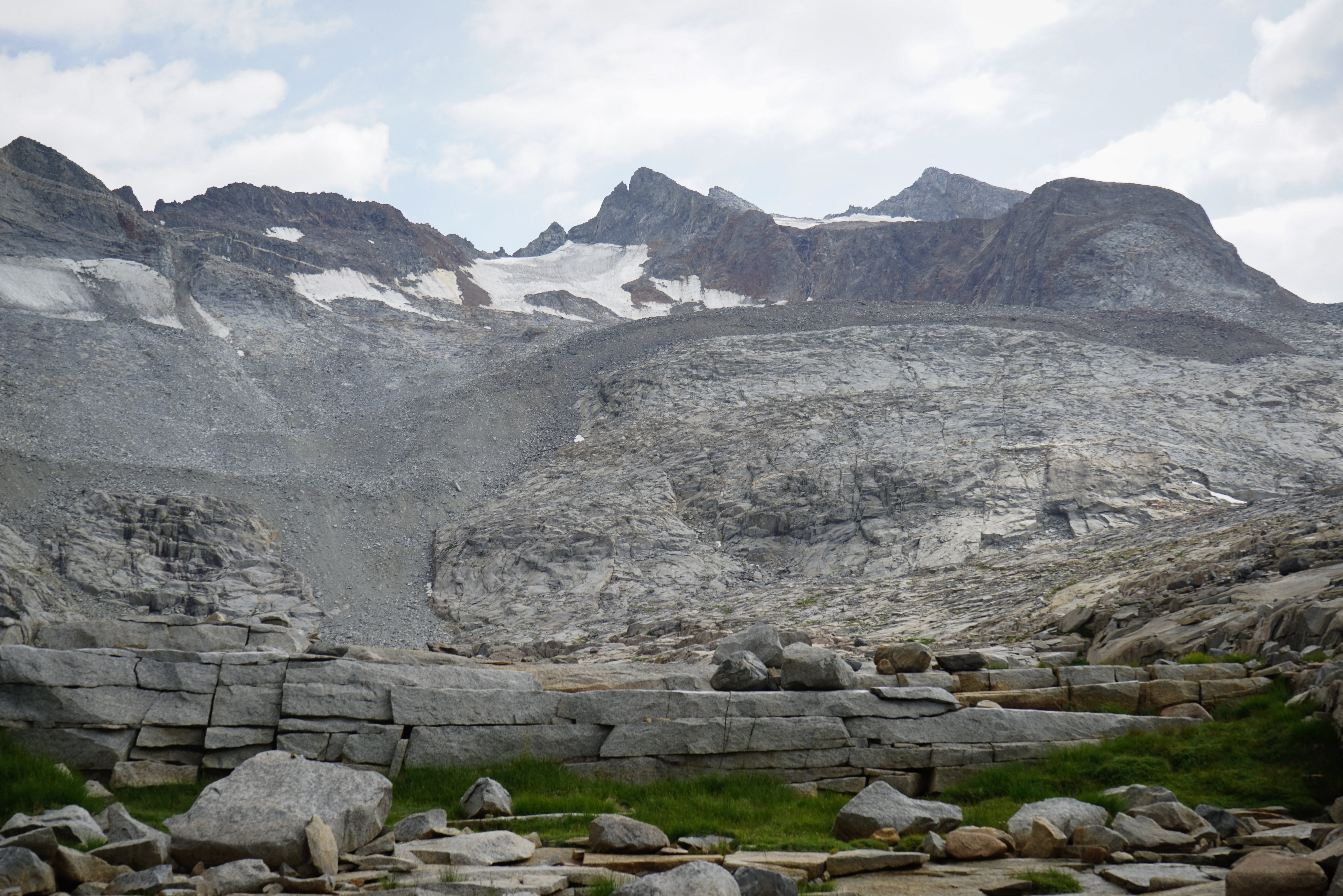
The view of Mount Lyell and the impressive moraine from our camp. It’s really easy to see where the glacier used to be from this vantage point, though I don’t know why the boundary is so clearly delineated when all of this would have been covered in ice during the previous ice age. I guess there was a long period where the glacier was stable where the piles of rocks are now.
The afternoon thunderstorms cleared and we headed to bed when the sun set.