After surviving – no, thriving – through the night, we woke up as the sun rose over Hutchings Creek. Our tricks had worked, the wind had not been too bad and the warm water bottle had stayed quite warm until late into the night. And, we knew that last night was the coldest in the forecast, so we could put away our worries that we’d freeze to death and enjoy the mountains for a couple of days. Today’s objective: Mount Florence, a somewhat obscure SPS-listed peak deep in the heart of Yosemite National Park.

Looking up towards Mount Maclure under much clearer skies than the evening before. While it was still cold, a warm coffee and some sunlight more than took the edge off.
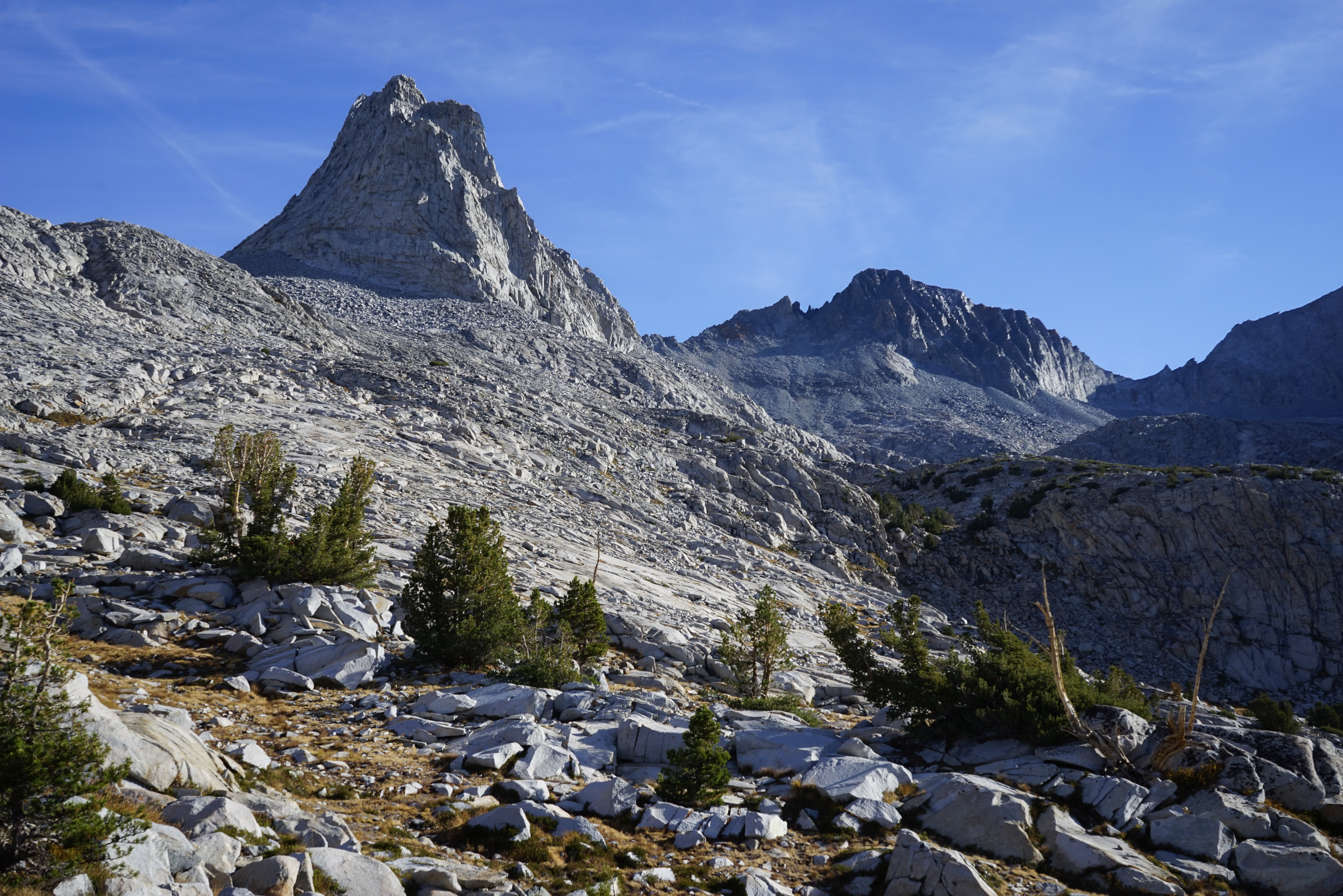
We set out for Mount Florence at 9, hoping to climb some combination of the South Rib and South Slope, whatever looked easier. Our first obstacle was to negotiate the saddle between Mount Florence and Peak 11647 which proved much more difficult than the topo implied. After some lovely hiking across the Hutchings Creek basin, we started climbing up the easy slopes towards Mount Florence. We were foiled on gaining the ridge not once but twice before eventually climbing much farther south than we expected. For other adventurers, the route we climbed was about 200’ south of a massive, obvious rockslide. The inviting slopes to the north of this huge slot of missing rock won’t go at class 3.
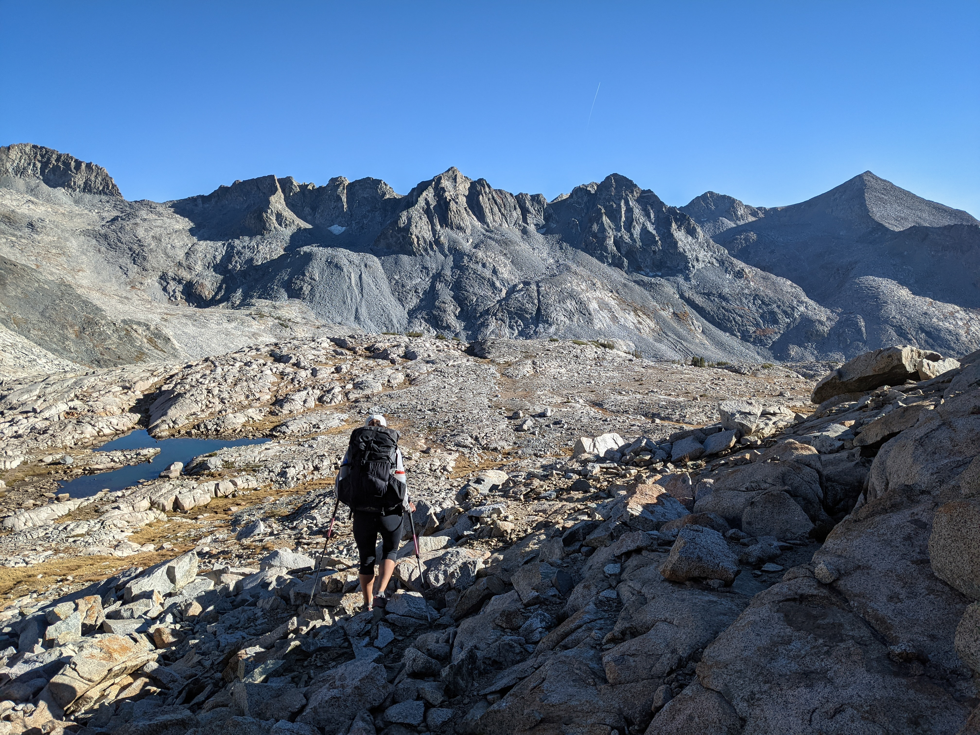
After some messing around we were on top of the south ridge of Mount Florence and hopping across large talus towards the low point of the saddle. From the low point we started climbing large, eroding boulders towards the summit. We stuck just a little bit climber’s left of the ridgeline where we found easy, but still somewhat interesting climbing.

Some sort of jawbone we found on a rock, maybe a vole or some other kind of rodent?
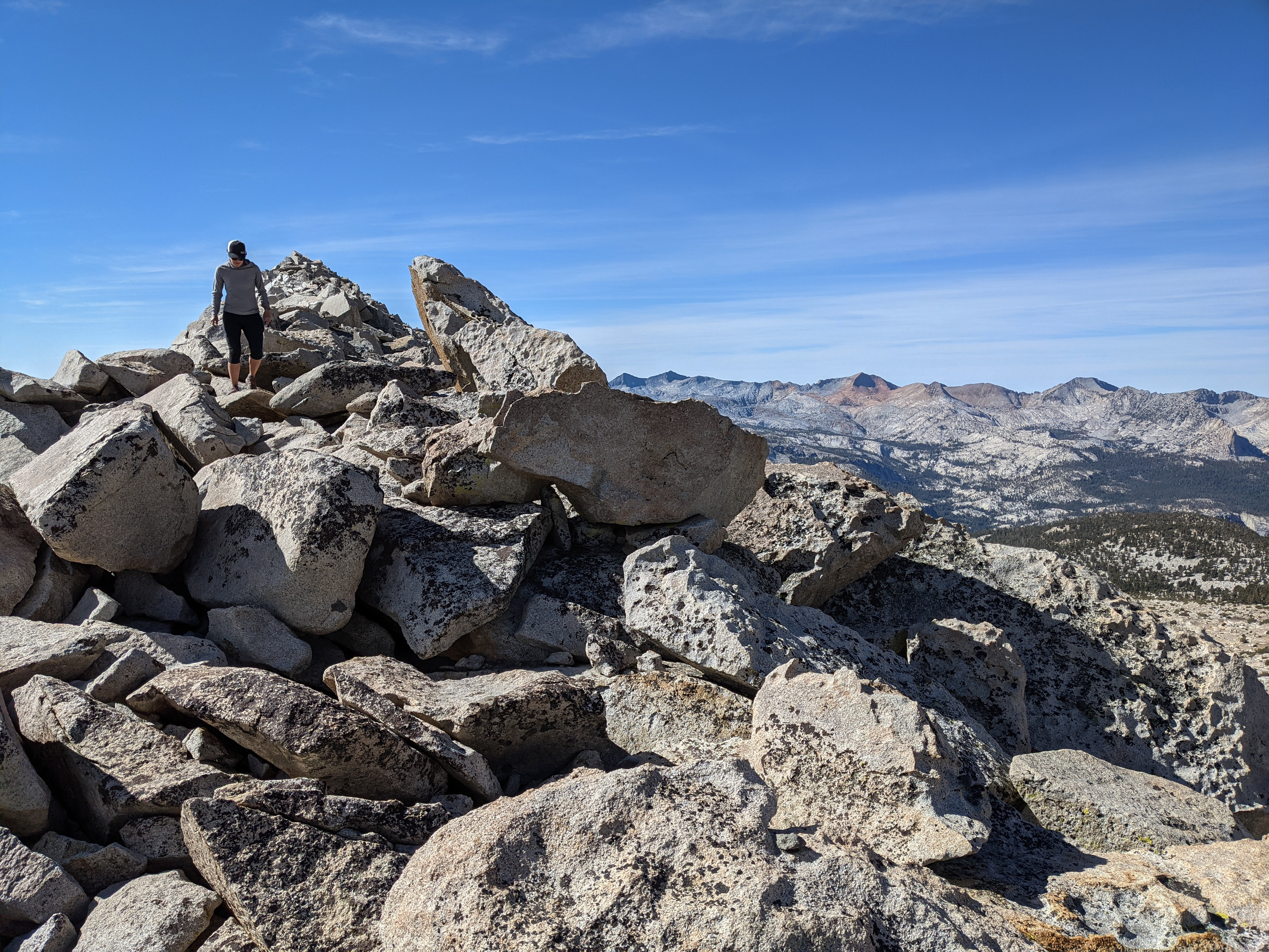
Shannon climbing boulders towards Mount Florence. The weather had returned to the beautiful California sunshine we’ve been spoiled by for so long now.

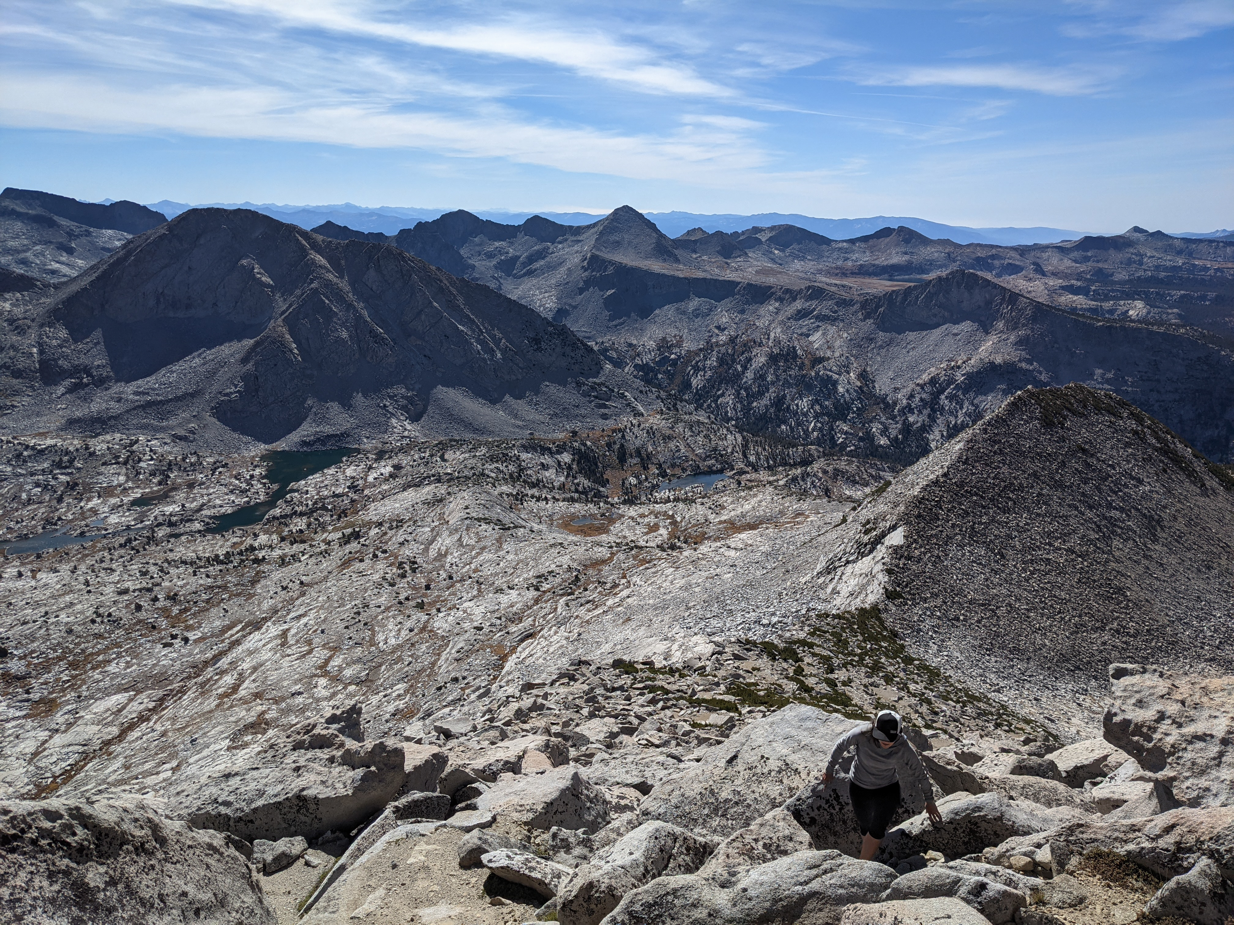
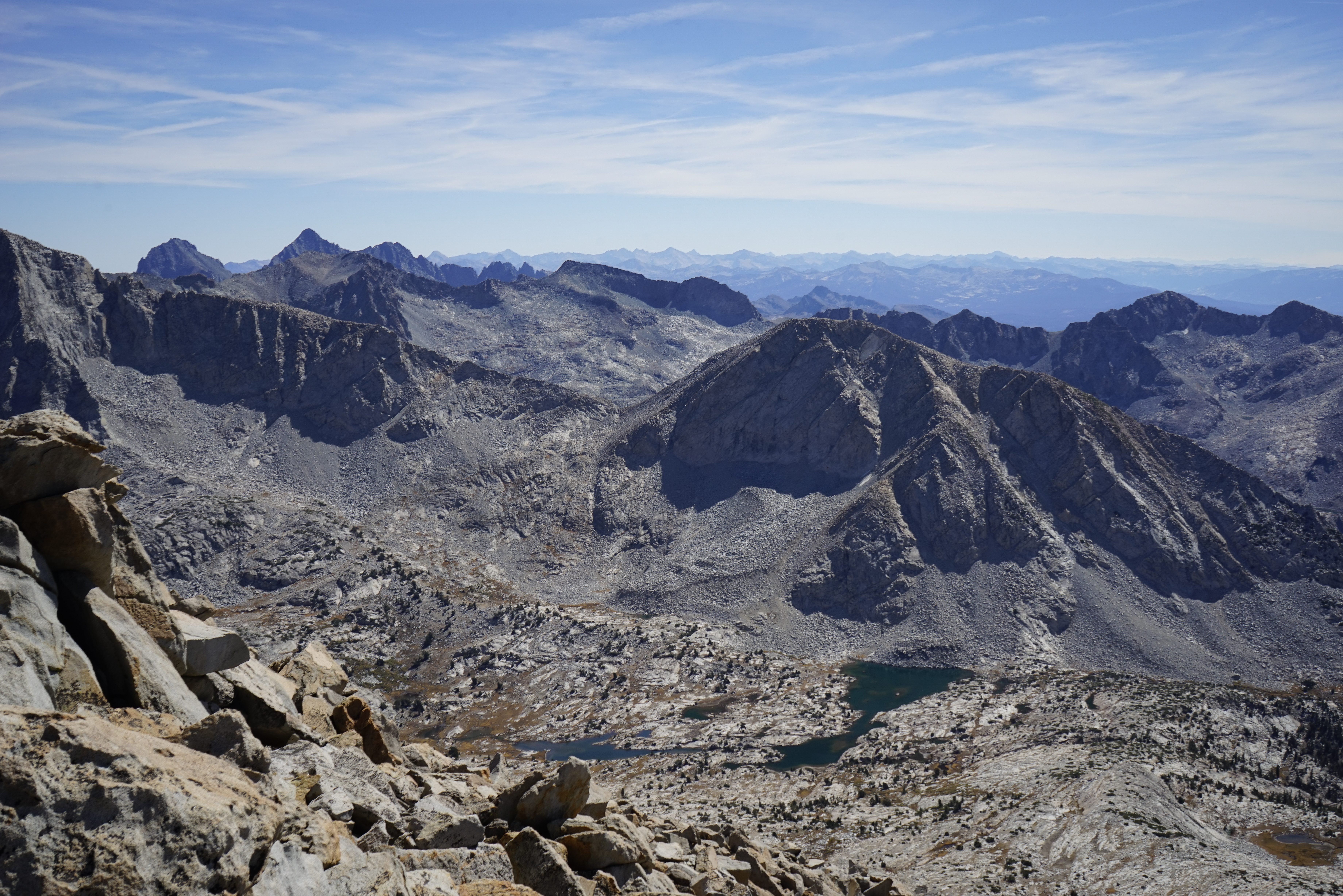
More climbing, up higher. After thirty minutes or so we were atop the summit enjoying an impressive view in all directions.
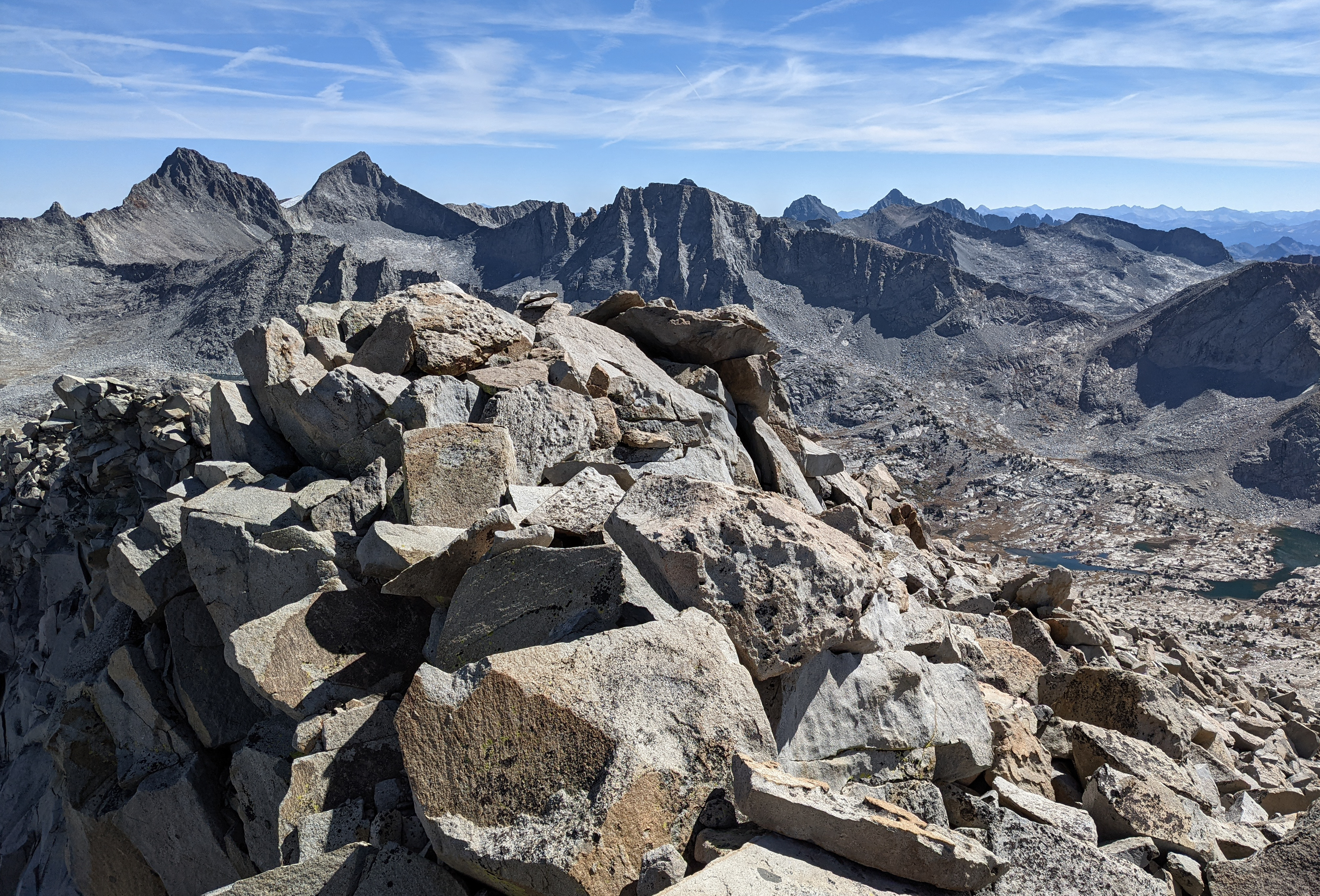
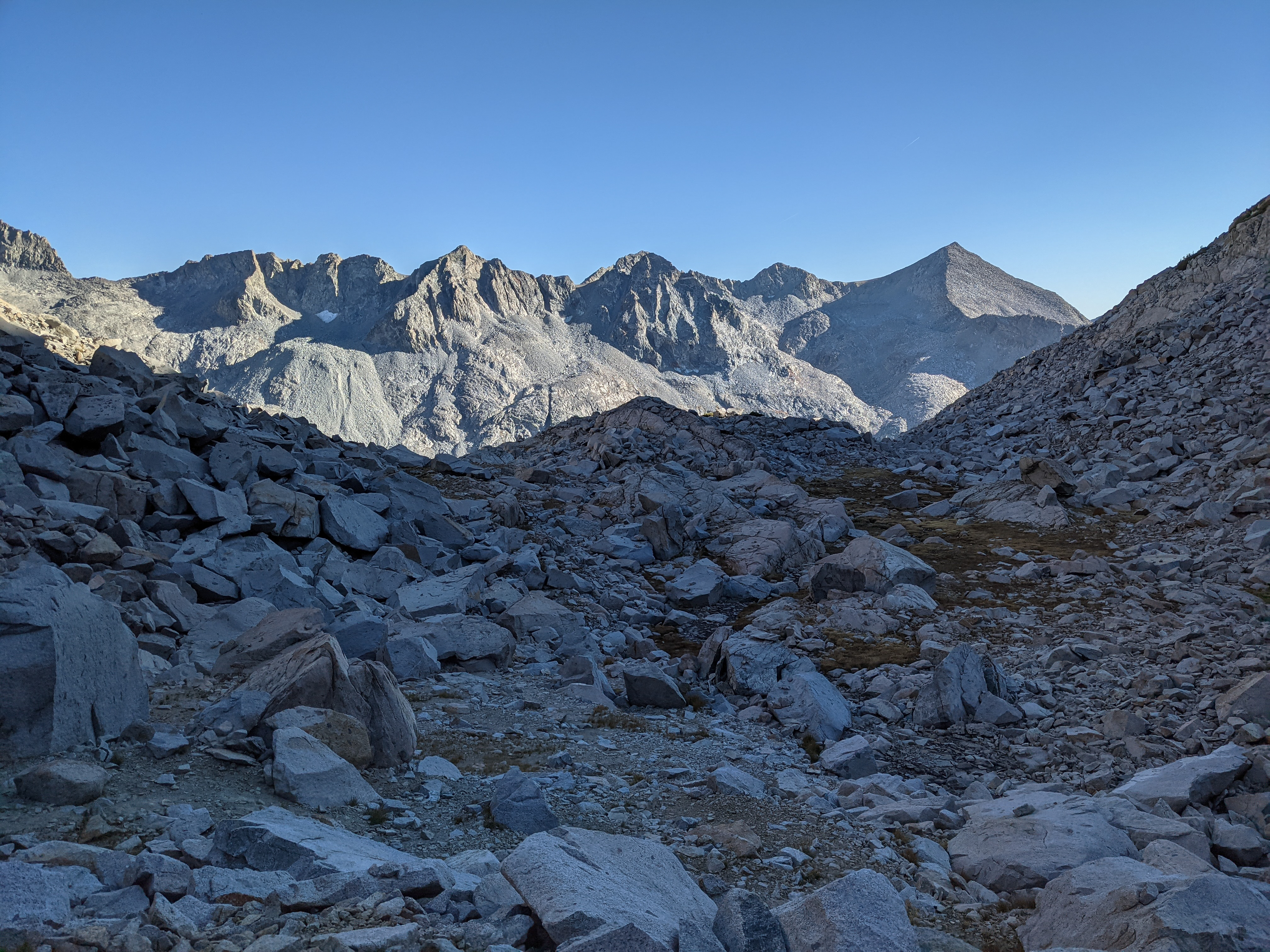
Looking east / southeast towards Mount Maclure and Mount Lyell.
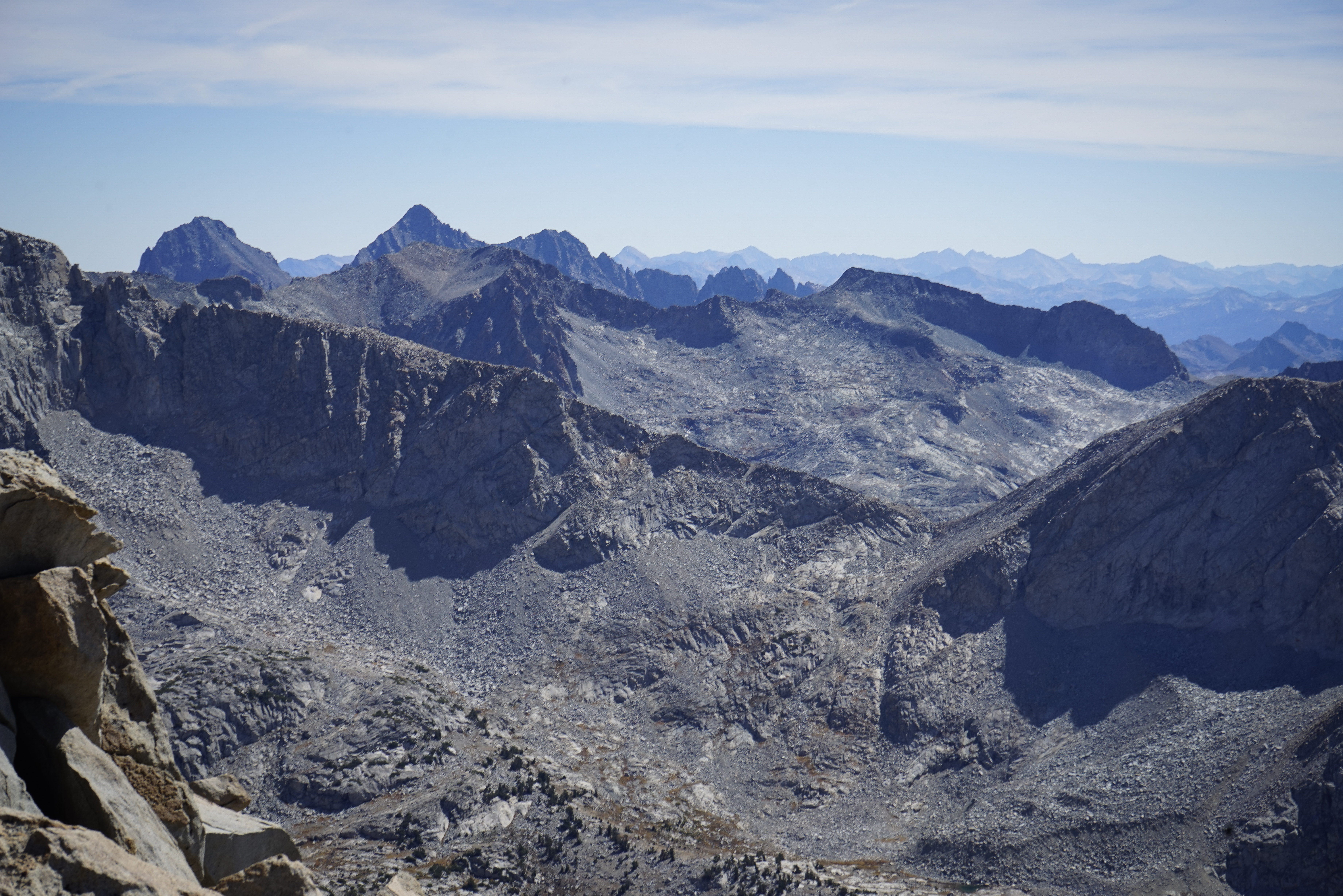
To the southeast Banner Peak and Mount Ritter rose prominently, with Mount Gabb and some of the other high summits of the High SIerra farther off.

Lyell and Maclure again.

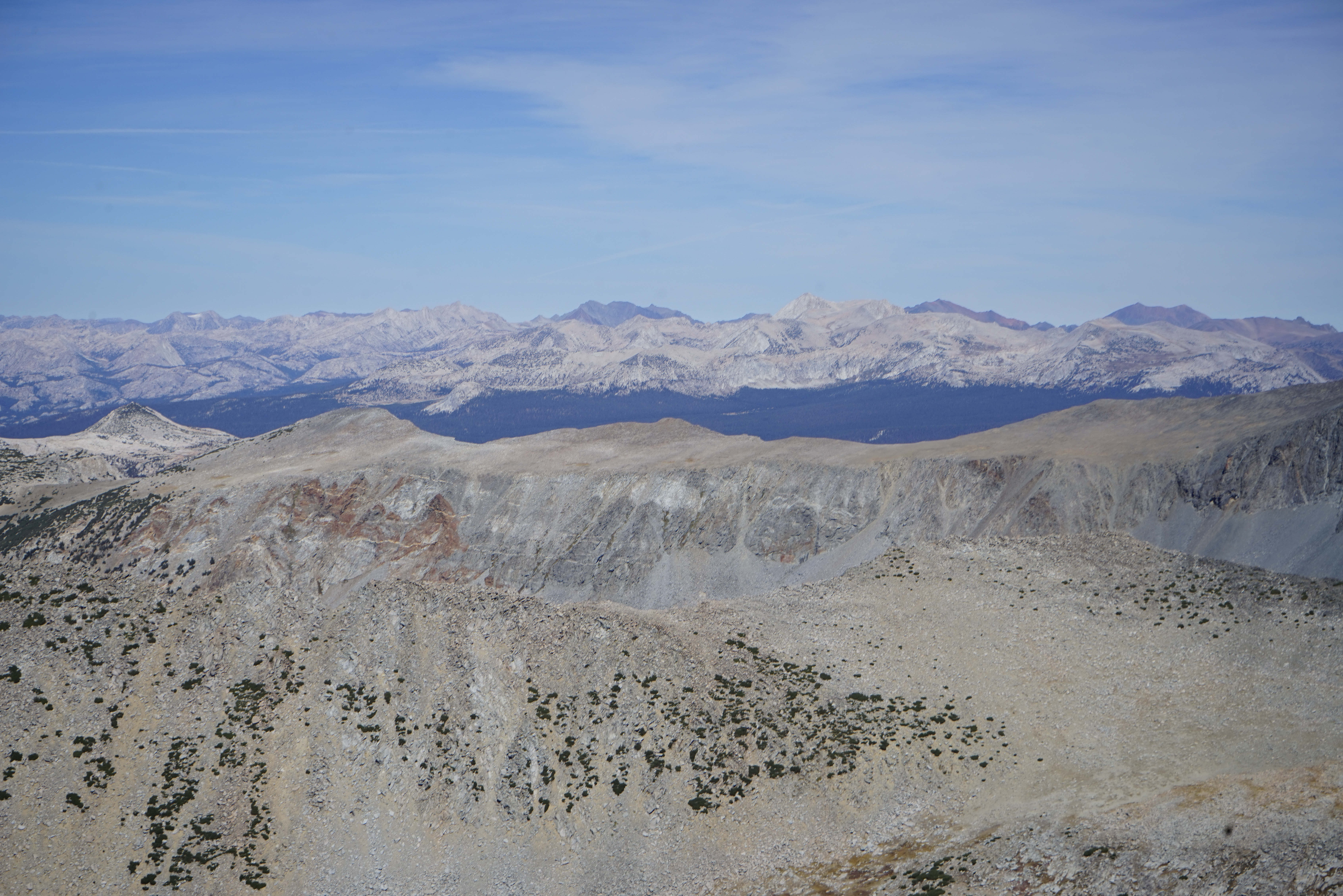
The Clark Range to our west.

Half Dome and Yosemite Valley to the northwest.
Some more difficult to distinguish peaks to the north. Mount Conness is visible, as is Matterhorn Peak, and some of the red-tinted peaks to the southeast of those.

The summit register was older and had some fun entries, including an RJ Secor entry from 25 years prior.
After a well-deserved rest on the summit, we headed back down the way we came over the boulders, across the saddle, and then dropping down at a point I had noted to avoid the difficult terrain, and back to Hutchings Creek.

Mount Lyell from Hutchings Creek.

A slightly broader view.

Lyell and Maclure again. We got back to camp at about 2:30 having taken about five and a half hours to climb Mount Florence. Figuring that we still had daylight and energy we took a long break to have lunch and pack up before heading south across Sluggo Pass for the Lyell Fork.

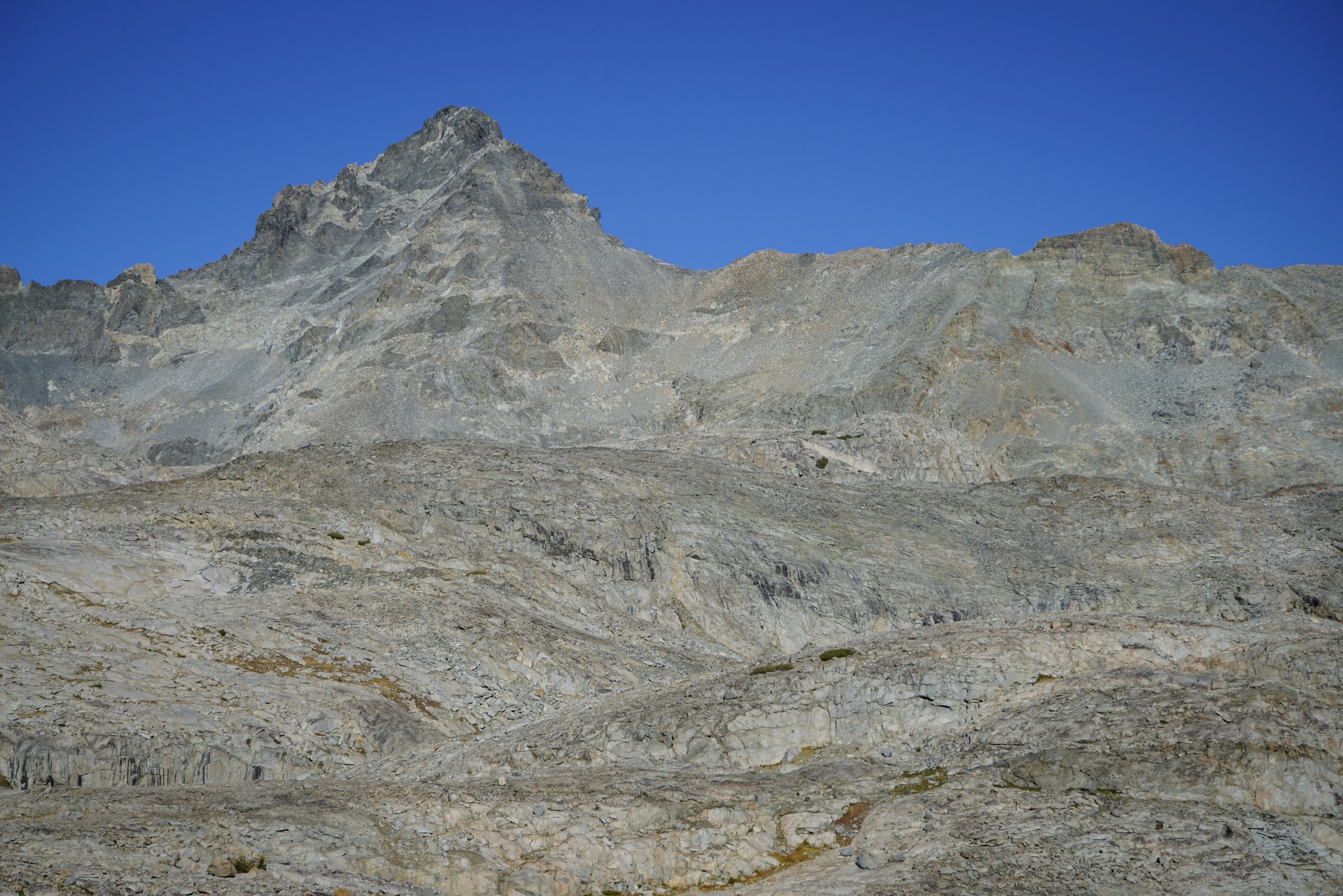
Peak 12358 from the easier terrain on the lower part of Sluggo Pass. Sluggo Pass was easy, except for our tired legs, and much as I remembered it from the Yosemite High Route. There isn’t much uninterrupted talus on the north part of the pass and we made good time climbing to the pass.
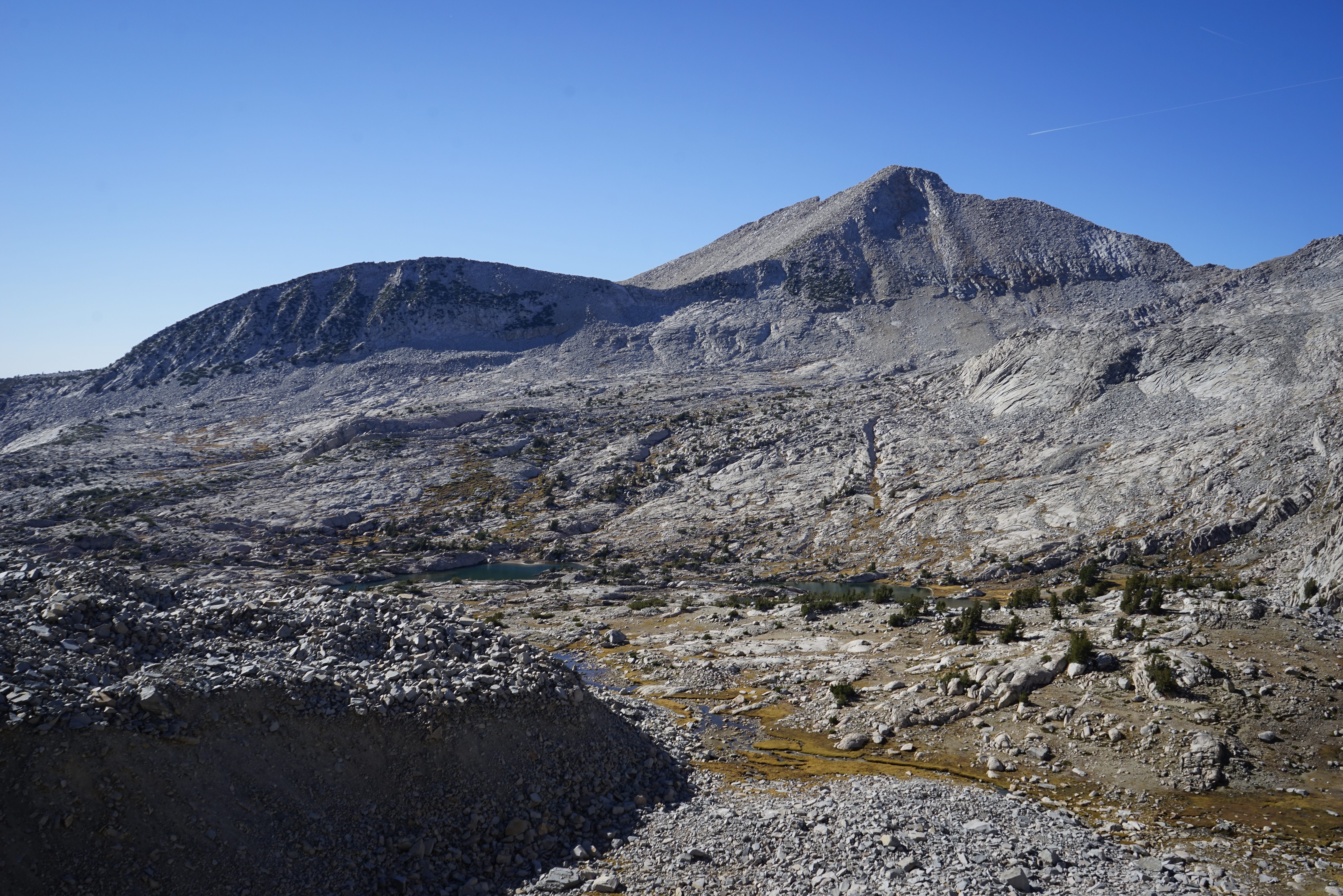
Mount Florence from Sluggo Pass.
Looking south towards Foerster Peak and Mount Ansel Adams from Sluggo Pass.
Trying to get back into the warm sunlight.


Near the top of the pass we noticed a herd of bighorn sheep in the rocks to our left. They were pretty hard to spot, but once we did we saw more and more of them. We counted about a dozen in all, there are at least six in this photo. A special treat for sure!
Impressive Rodgers Peak at the head of the Lyell Fork. Score claims there is a class 3 route up this side of the peak, but it looked pretty tough from this vantage point. Before long we were back on the easy walking of the slabs in the Lyell Fork. We decided to head for some tree cover I thought I remembered near Lake 10217.

Late afternoon light on impressive Mount Ansel Adams. While this isn’t the highest peak around, it looks quite impressive from the north.

After negotiating one tricky section, we wrapped around the north side of Lake 10217 and began searching for a campsite in some small pines on the west shore. Soon enough we found something that would do the trick for a night or two and set up camp.
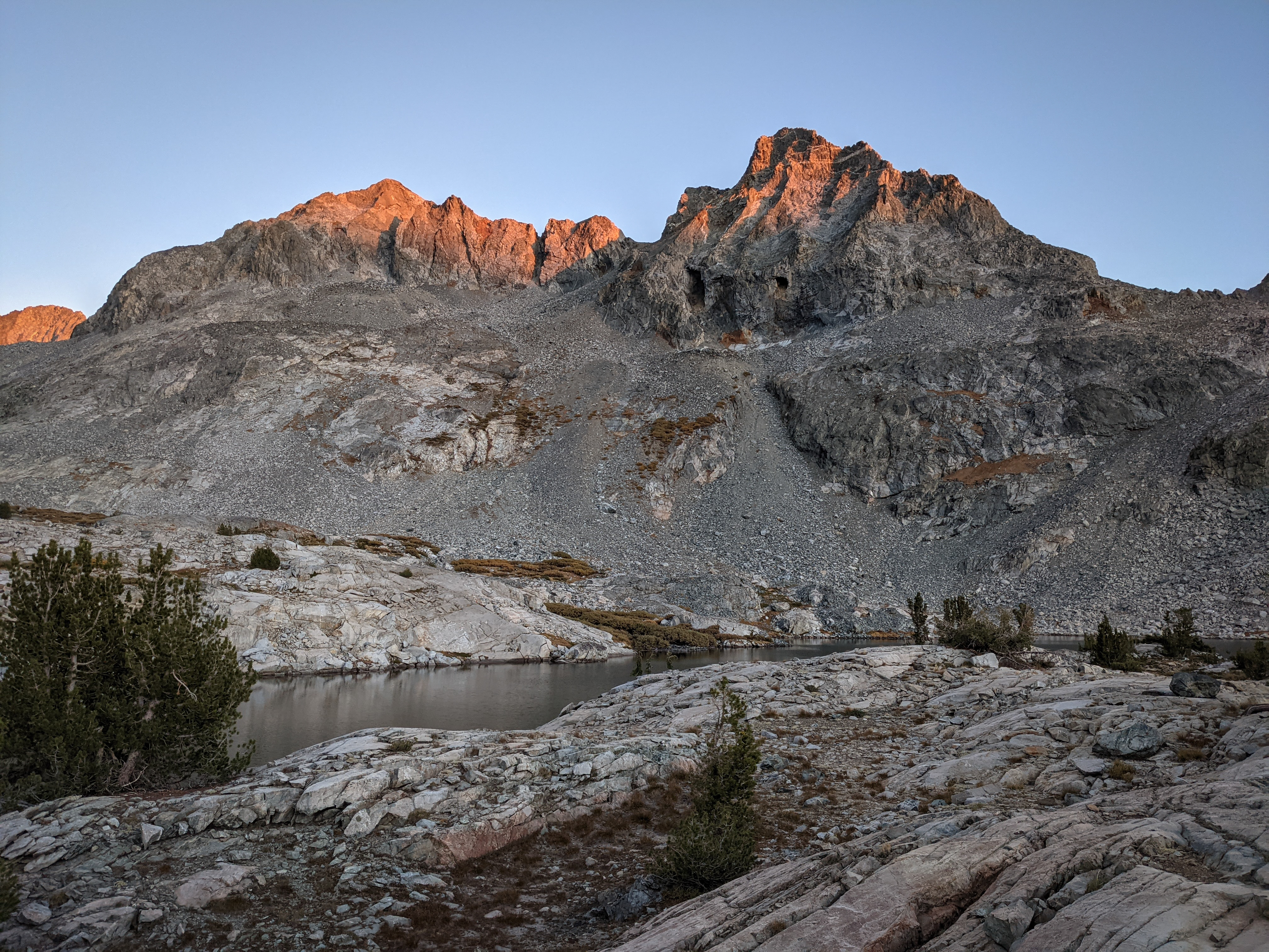
The last evening light on Mount Ansel Adams. We planned to take a zero day the next day to climb nearby Electra Peak, which we had some trouble picking out on the ridgeline above us due to its somewhat low prominence. We figured it must still be on the SPS list for some reason anyways. With fewer preparations for the weather, we tucked into bed and enjoyed a podcast before sleeping.