

It was another beautiful morning in the Sierra Nevada and I was up and making coffee before the sun rose over the ridgeline high above us. After a few cups of the good stuff and one of the less desirable breakfasts we had packed (we had consumed the tastier ones on the colder mornings prior), we set off with daypacks for Electra Peak which we planned to climb from the upper reaches of the Lyell Fork of the Tuolumne River.

Mount Ansel Adams from the north. We made our way across the slabs before climbing up some talus towards Lake 10999.

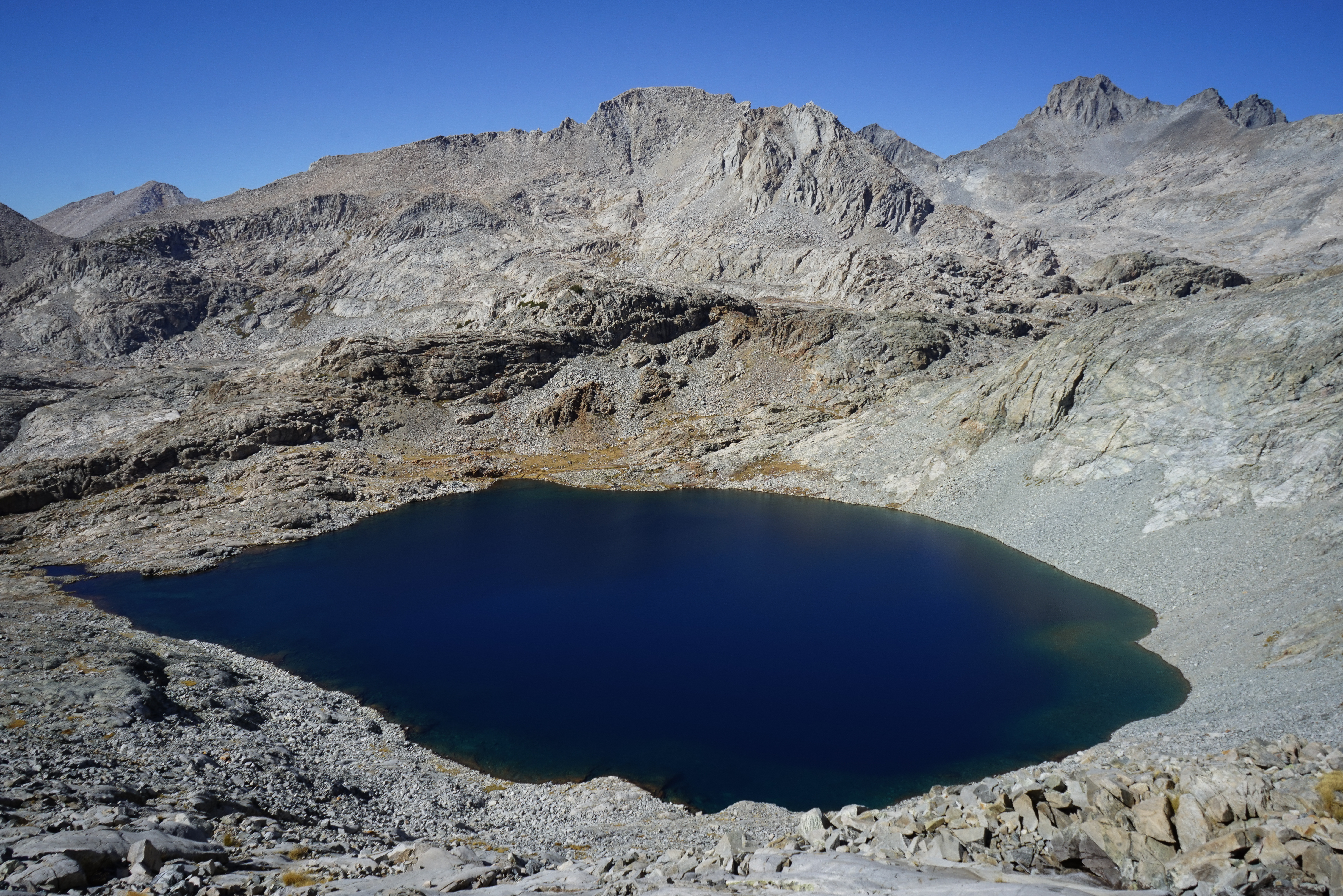
Looking over the small lake below Lake 10999.

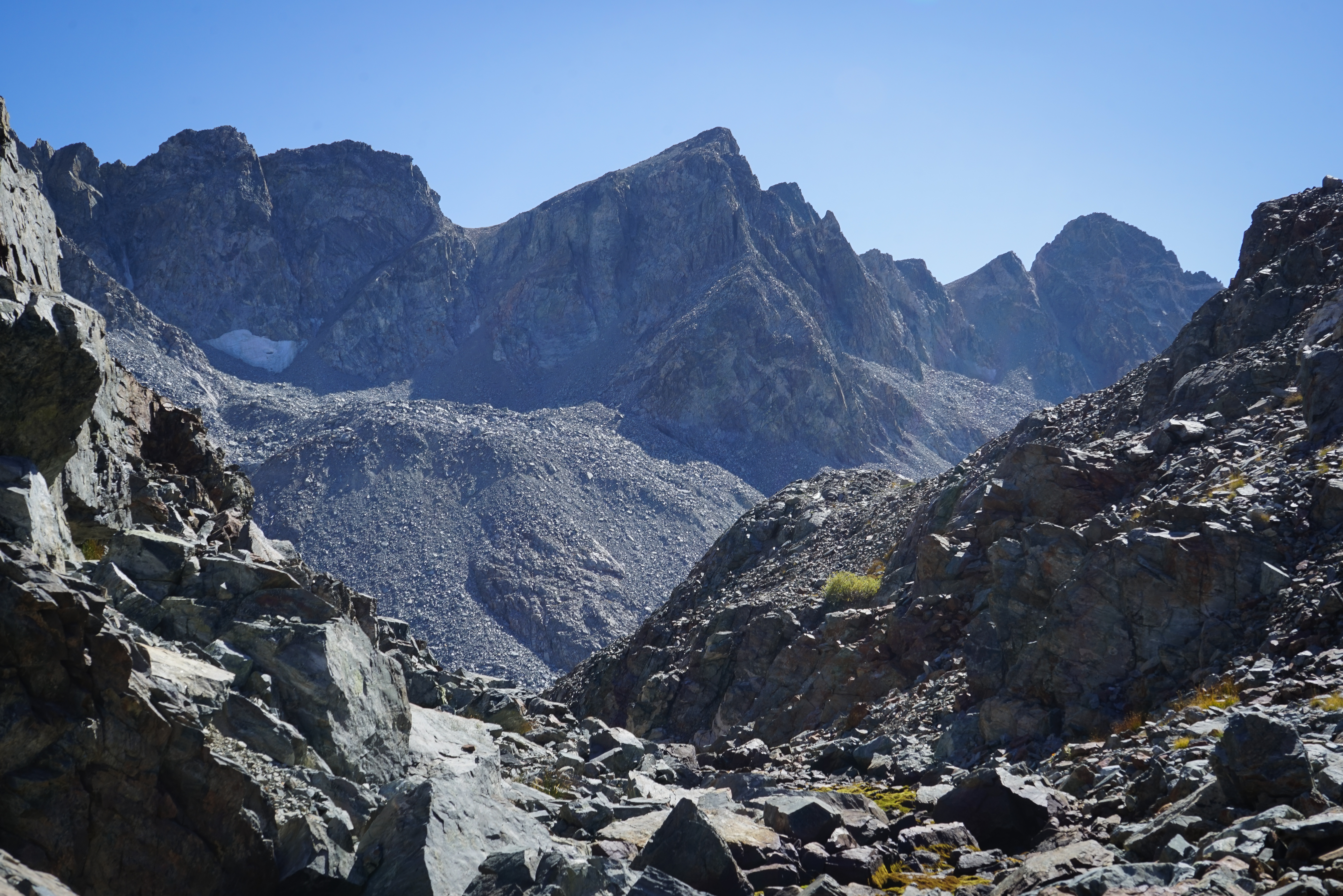
We dropped down to filter some water before an expected dry section up to the summit and back. With water bottles full we set off climbing the most forgiving terrain we could see towards the north ridge of Electra Peak. There wasn’t anything too difficult, just a lot of talus for a while.

Soon, we were on the ridge climbing towards the summit. The final 200 or so feet of climbing was much more fun than slogging up the talus below.


Looking west towards the Clark Range and Yosemite Valley, Half Dome poked out again, though a little bit less obviously from this vantage point.


Looking north towards Mount Lyell, Mount Maclure, and Rodgers Peak.


To the east there was an impressive view of Mount Ritter and Banner Peak and some of the peaks of the High Sierra behind.
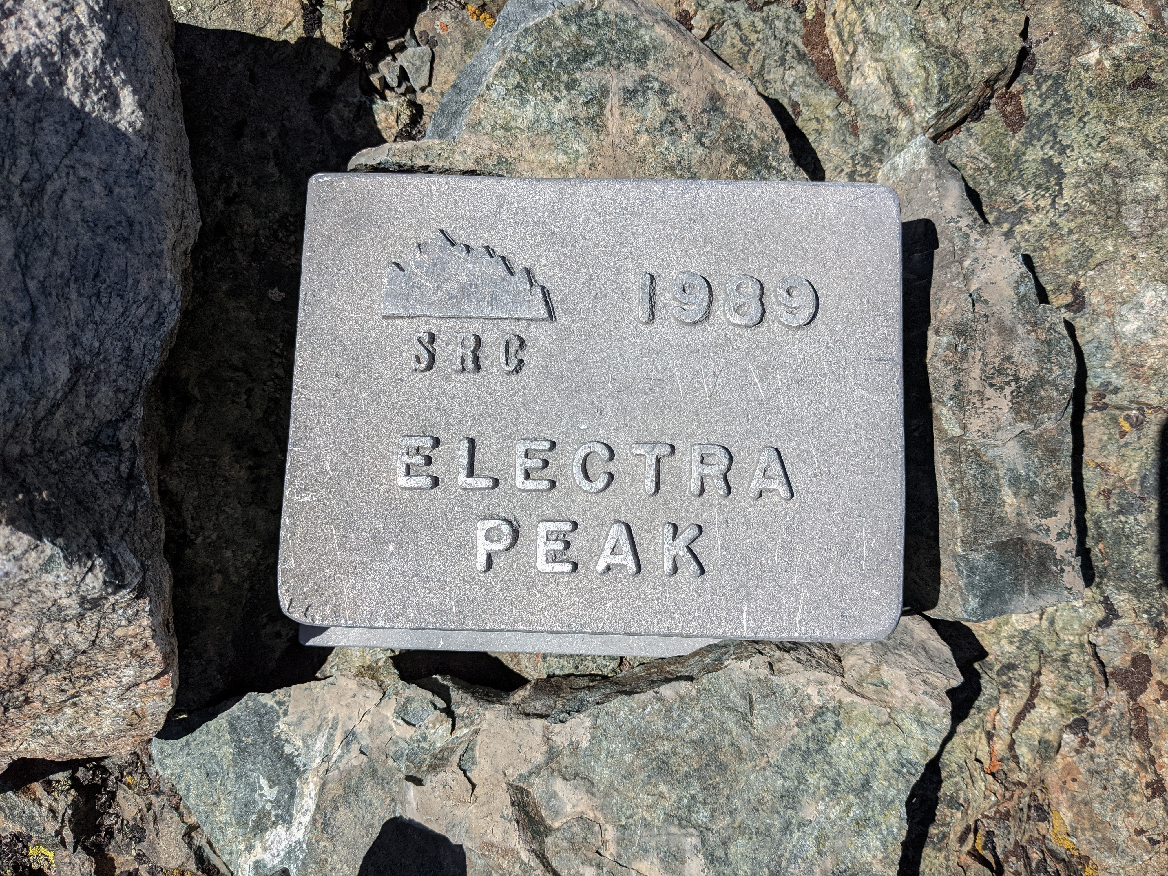
The summit register was one of those heavy, metal, bolted-on ones. We stayed and enjoyed a lunch break while taking in the fine views. While this peak may not look like much from the west, it rises quite prominently above the San Joaquin River to the south and so there are no peaks to block the view to the south. After an hour or so enjoying the summit perch, we started back down along the class 2/3 ridgeline.

On the way down we found this very old part of an external frame backpack, at least that’s what I thought it was. We packed it up in my backpack to carry out and looked around for any other garbage, but didn’t see any.
Impressively large and blue Lake 1099.
On our way down, we tried to follow the creek a bit more closely towards Lake 10702, but it got tough after a bit so we veered off course to the north a bit.

A frog in the creekbed.

Mount Ansel Adams and Foerster Peak from the open slabs of the Lyell Fork. Some haze was just starting to push in.

Mount Ansel Adams above a few small bunches of Whitebark Pines.

Looking down over the Lyell Fork. The Isberg Pass Trail crosses the creek down near the slabs below. Mount Clark is in the (hazy) distance.

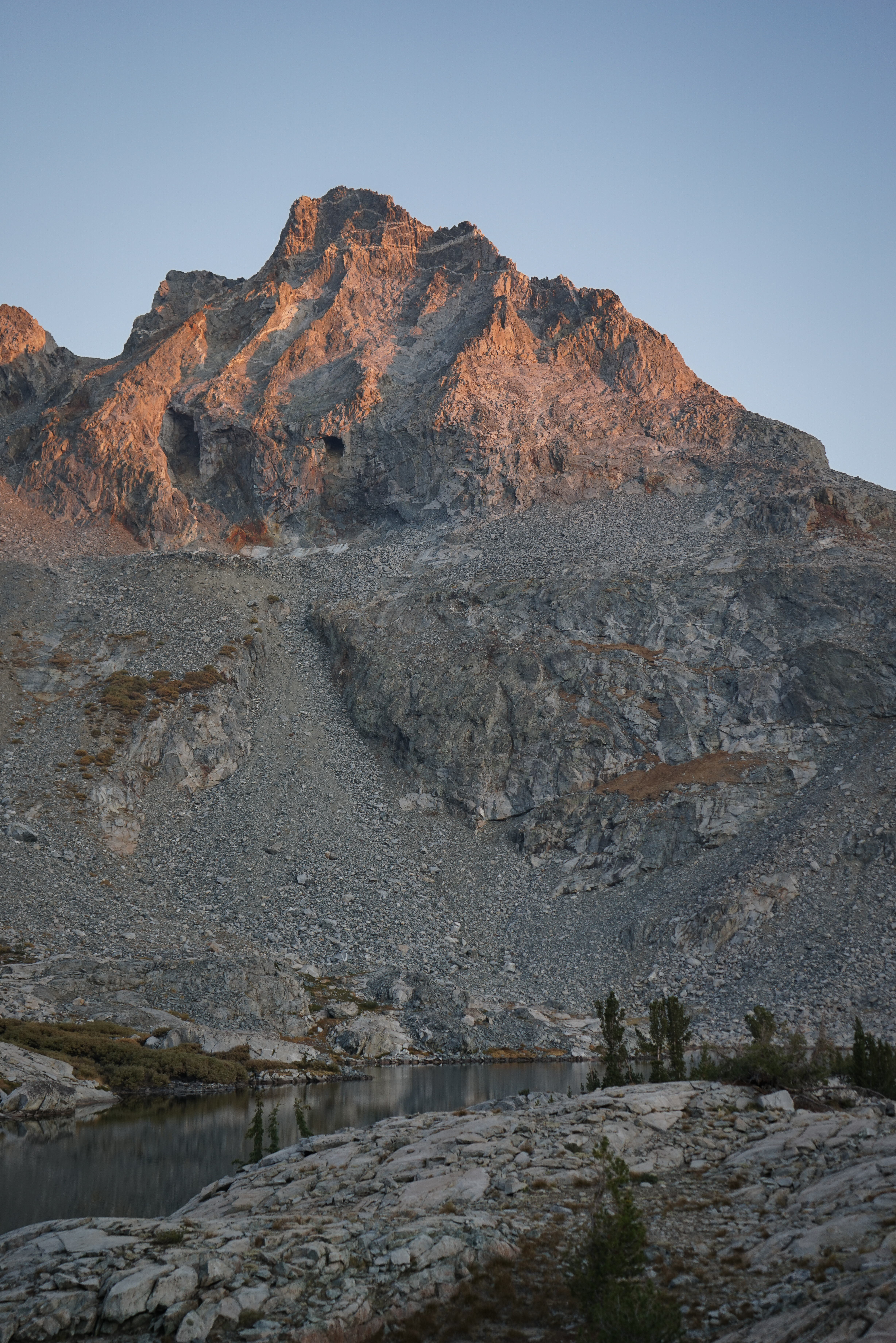
We stopped at a little sandy beach on the north shore of Lake 10217 to wash our feet off and fill up water bottles again. We got back to camp after about six and a half hours of hiking and brewed up some tea and read our books for a little while.


More glamor shots of Mount Ansel Adams.

Looking north during a beautiful smoke-influenced golden hour.


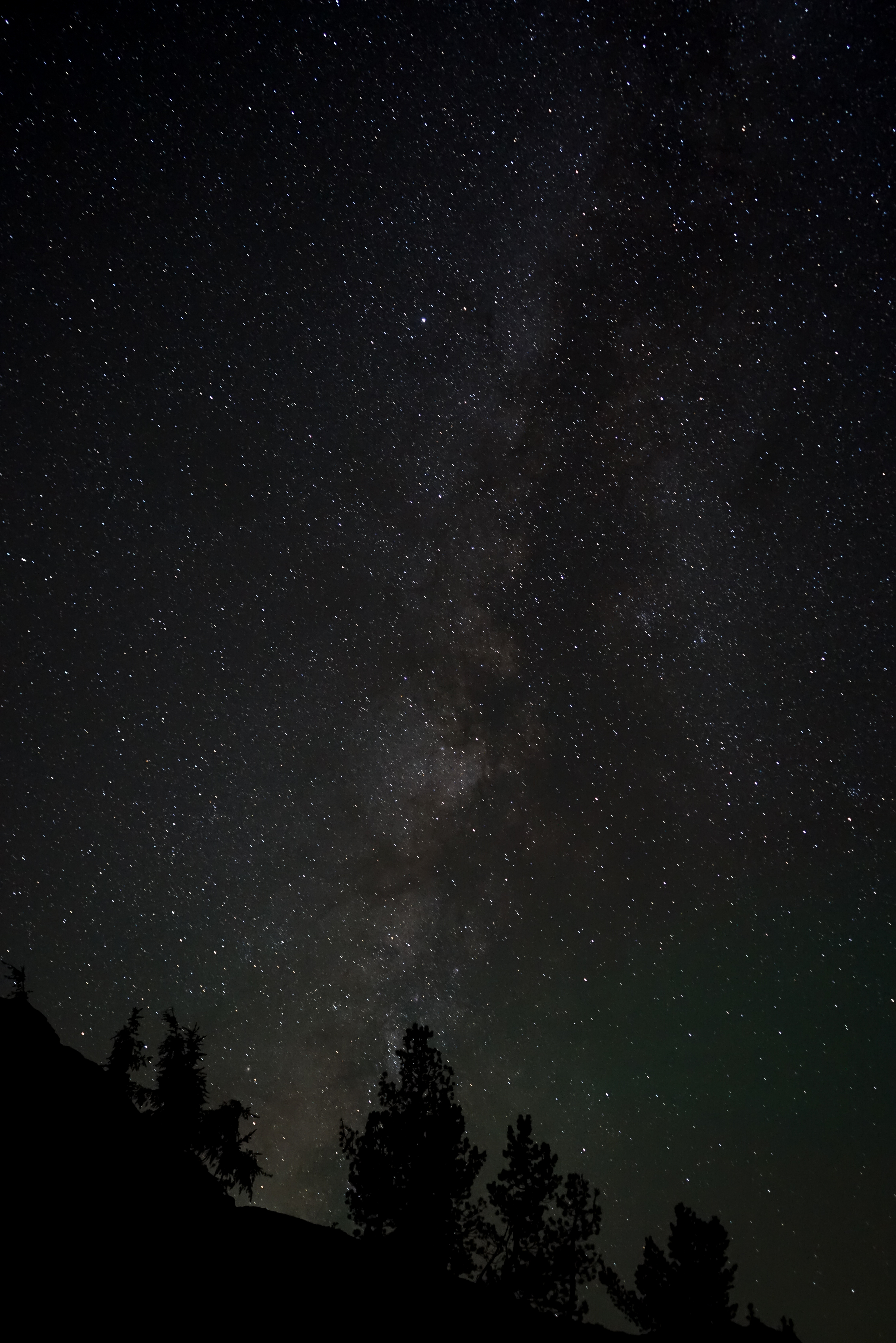
It was much warmer this night, so I got up at 9:30 or so and spent an hour taking photos of the stars. I had a lot of trouble keeping the camera steady but did manage to rig a couple of solid rock tripods and get a few good shots to the east and west.